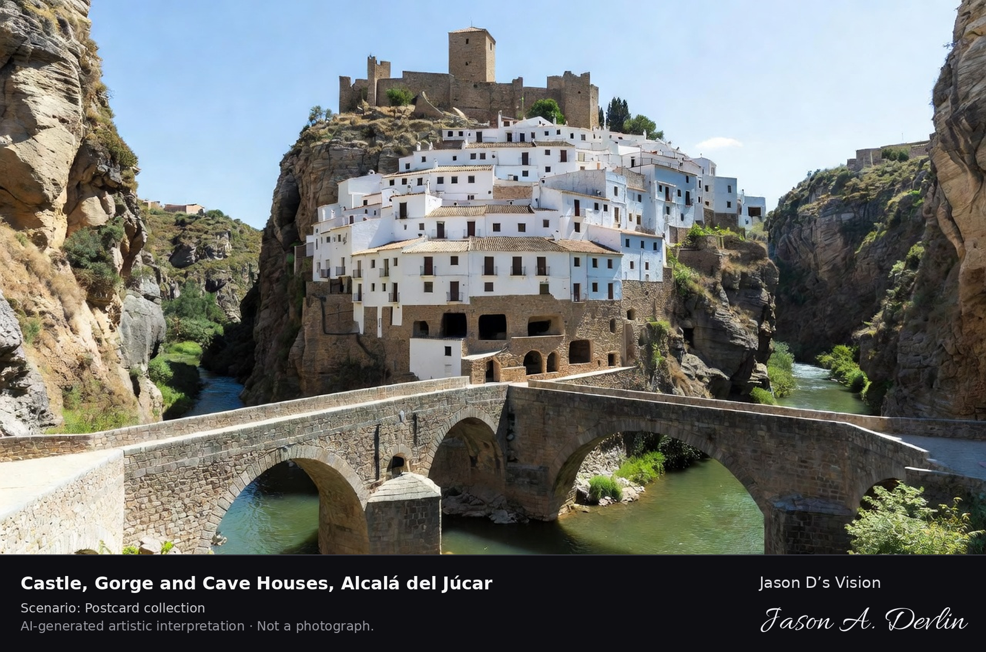
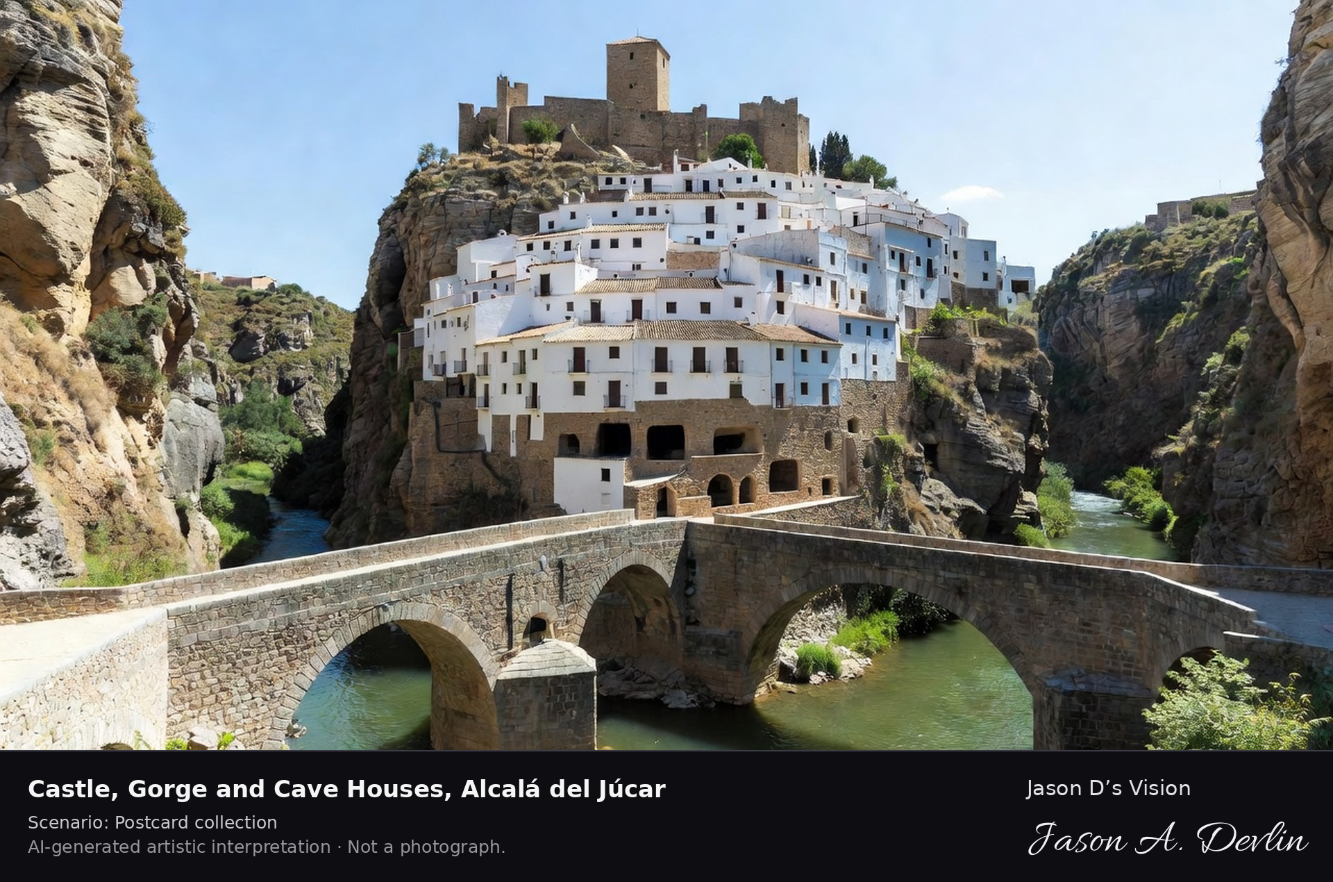
Alcalá del Júcar stacks its white houses up a limestone gorge of the Júcar river to a twelfth-century Almohad castle, declared a Historic-Artistic Site in 1982. Many houses are cave houses tunnelled deep through the rock, including the Devil's Cave passage that crosses the whole cliff. A fresh retrieval for this spot on 7 November 2026 recorded 11.9 °C, clear sky (WMO code 0), cloud cover 1%, wind 4.2 km/h.
Postcard collection
Daylight
Viewpoint, conditions & editions
Across the Júcar gorge from the river side: the green river and stone bridge in the foreground, white houses stacked steeply up the limestone cliff, the pentagonal Moorish castle crowning the top, cave-house openings in the rock face. Reference-reported camera 39.194920 N, 1.428630 W; exact generated camera correspondence is unverified.
11.9°C, weather code 0 (clear sky), cloud 1%, wind 4.2 km/h. Per-scene Open-Meteo retrieval 2026-11-07T19:25:32.619879+00:00 for the scene's own coordinates.
Downloads carry the finished label bar: caption, scenario and AI disclosure on the left, “Jason D’s Vision” with the script signature on the right.
Spain / Castilla-La Mancha / Valverde de los Arroyos
Black-Architecture Village, Valverde de los Arroyos
Black-architecture village · AI-generated artistic interpretation
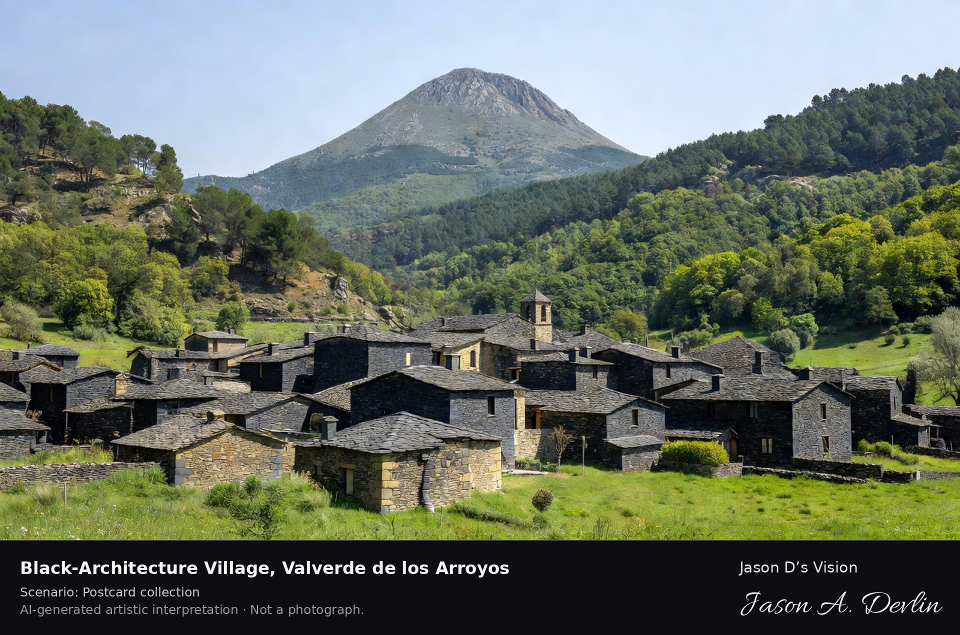
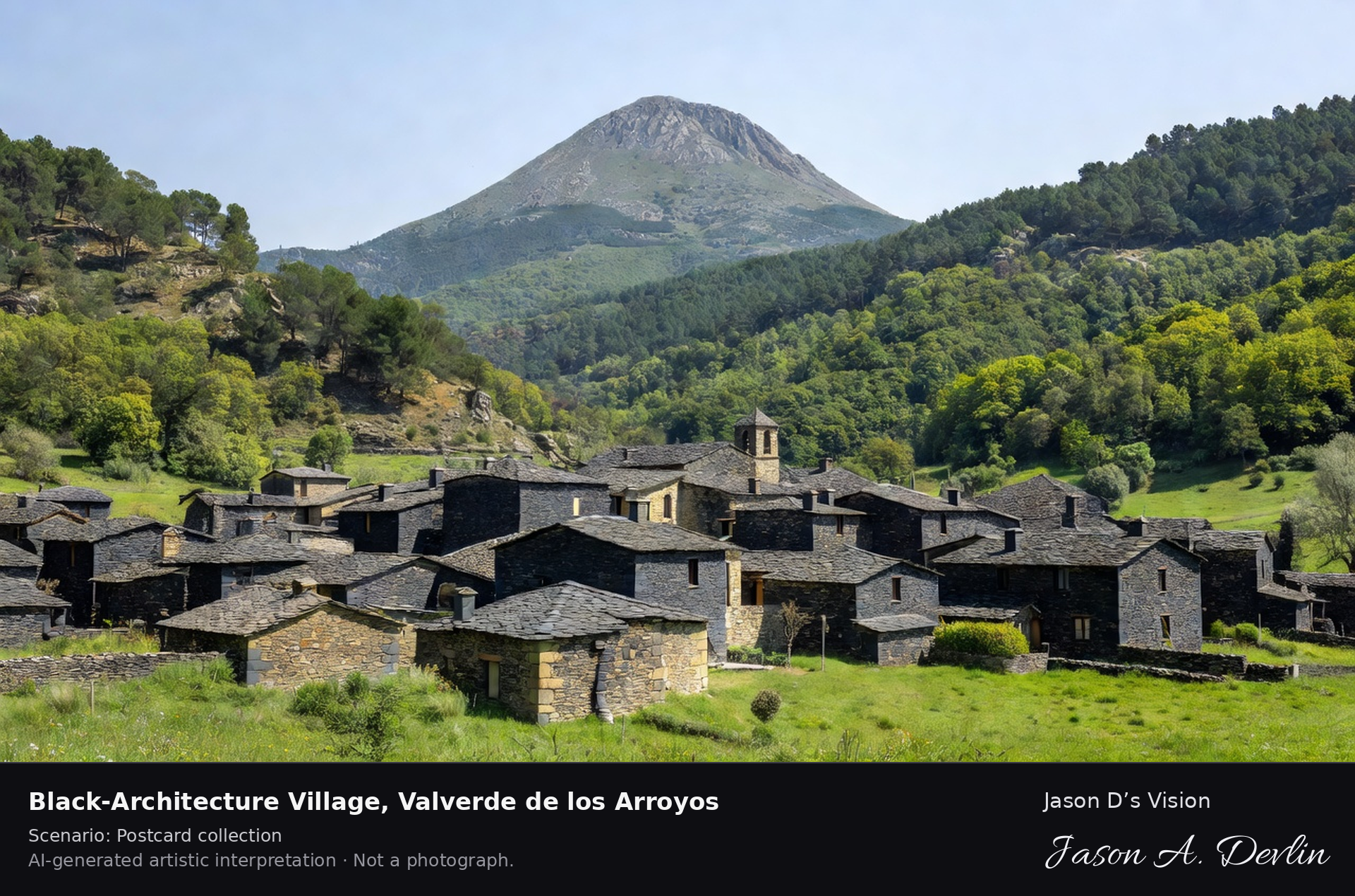
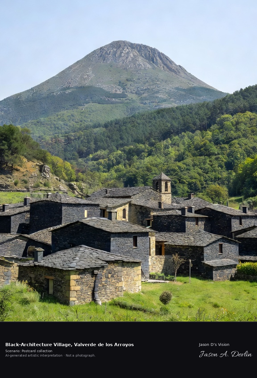
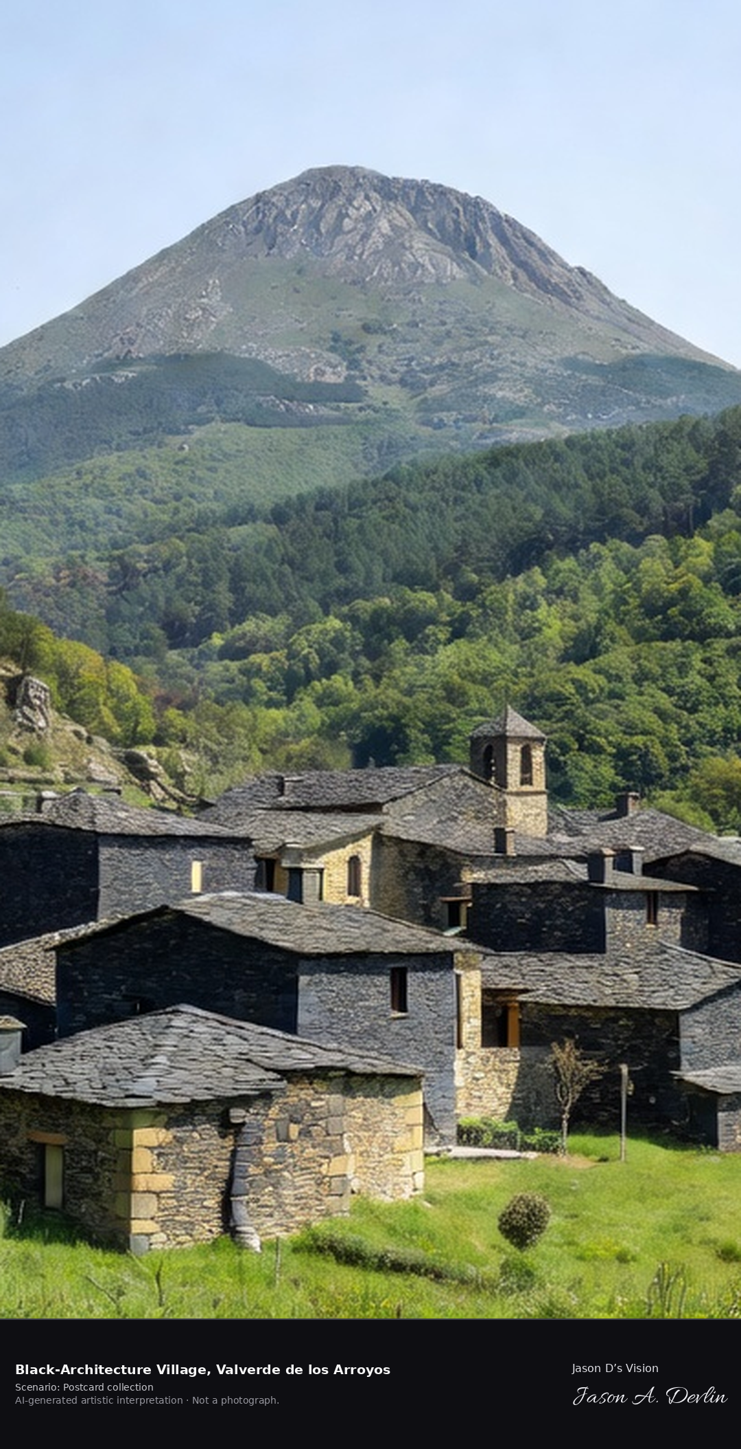
Valverde de los Arroyos is the flagship of Guadalajara's black villages, built wholly of black slate and golden quartzite under the 2,048-metre Pico Ocejón in the Sierra de Ayllón. The village stands at about 1,250 metres, on the trail to the Despeñalagua waterfall. A fresh retrieval for this spot on 7 November 2026 recorded 7.8 °C, partly cloudy (WMO code 2), cloud cover 48%, wind 1.4 km/h.
Postcard collection
Daylight
Viewpoint, conditions & editions
Village view from the meadow edge: clustered houses built entirely of dark slate and golden quartzite with slate roofs centred, the small church among them, green mountain slopes rising behind to the conical Pico Ocejón. Reference-reported camera 41.129370 N, 3.233950 W; exact generated camera correspondence is unverified.
7.8°C, weather code 2 (partly cloudy), cloud 48%, wind 1.4 km/h. Per-scene Open-Meteo retrieval 2026-11-07T19:25:45.841630+00:00 for the scene's own coordinates.
Downloads carry the finished label bar: caption, scenario and AI disclosure on the left, “Jason D’s Vision” with the script signature on the right.
Slate village · AI-generated artistic interpretation
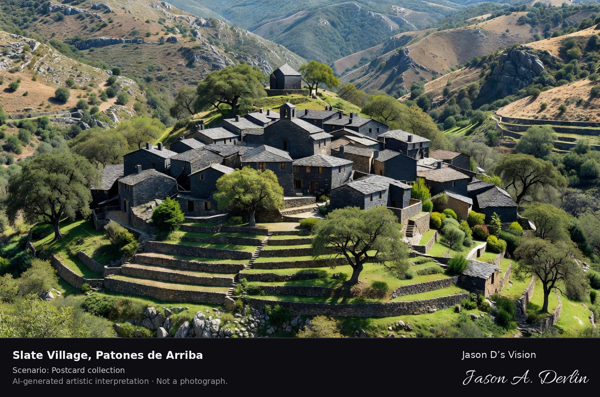
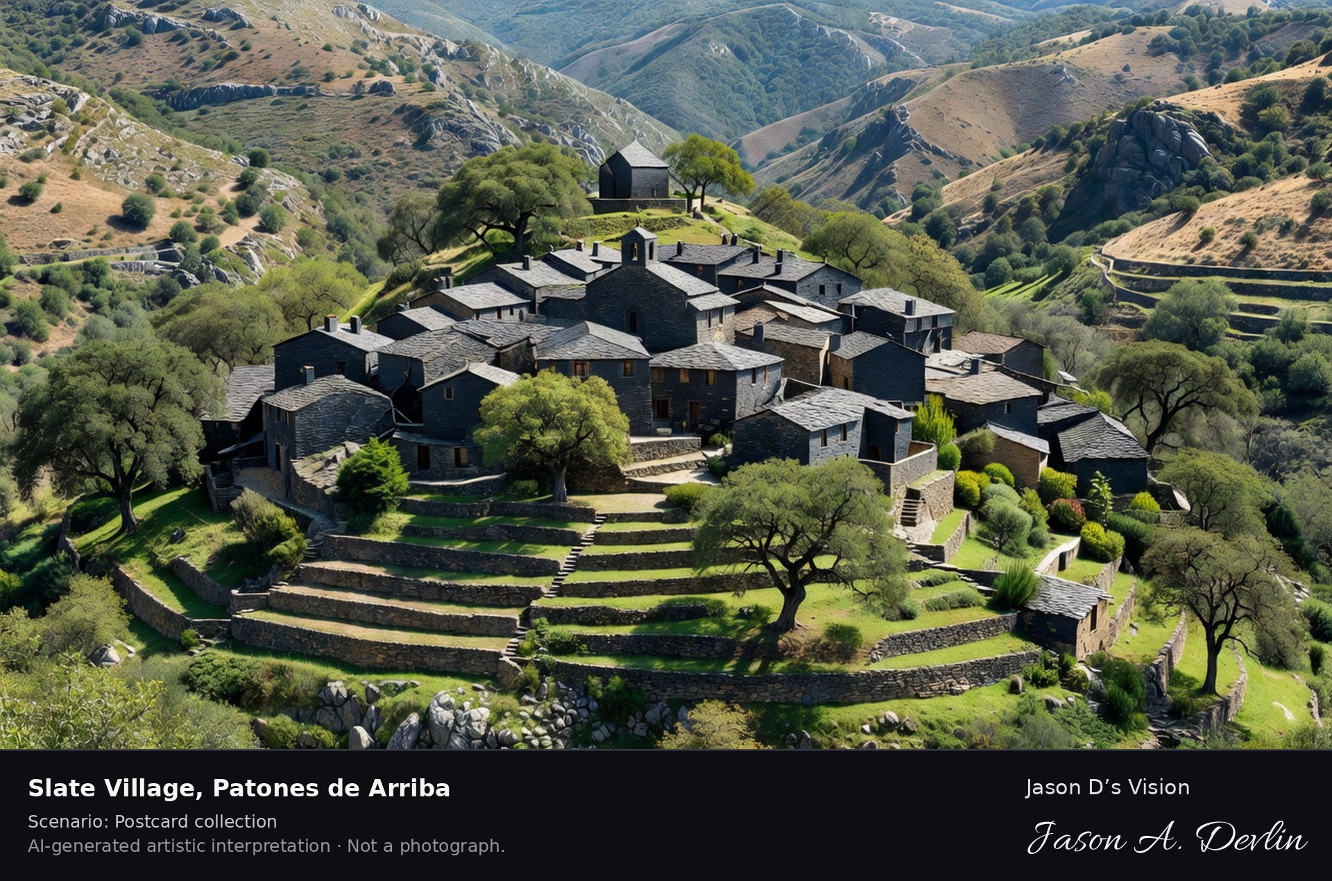
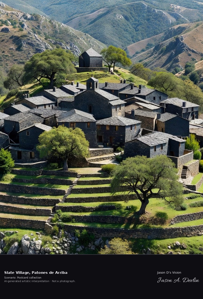
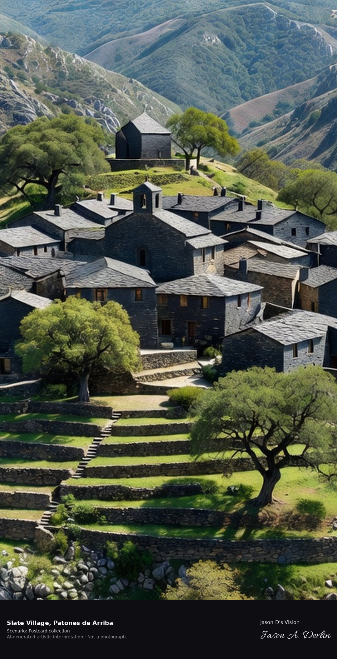
Patones de Arriba is Madrid's black-architecture jewel, a car-free slate village hidden in a fold of the Jarama valley. Legend says it was ruled for generations by its own elected King of Patones, and its remoteness once hid it even from French troops. A fresh retrieval for this spot on 7 November 2026 recorded 11.1 °C, mainly clear (WMO code 1), cloud cover 37%, wind 5.1 km/h.
Postcard collection
Daylight
Viewpoint, conditions & editions
Across the small valley fold: the compact slate village centred on its green hillside, dark slate houses and roofs clustered around the small church of San José, terraces and oak and pine slopes around, no modern buildings. Reference-reported camera 40.865190 N, 3.492550 W; exact generated camera correspondence is unverified.
11.1°C, weather code 1 (mainly clear), cloud 37%, wind 5.1 km/h. Per-scene Open-Meteo retrieval 2026-11-07T19:25:59.550325+00:00 for the scene's own coordinates.
Downloads carry the finished label bar: caption, scenario and AI disclosure on the left, “Jason D’s Vision” with the script signature on the right.
Granadilla walled village ✓ · AI-generated artistic interpretation
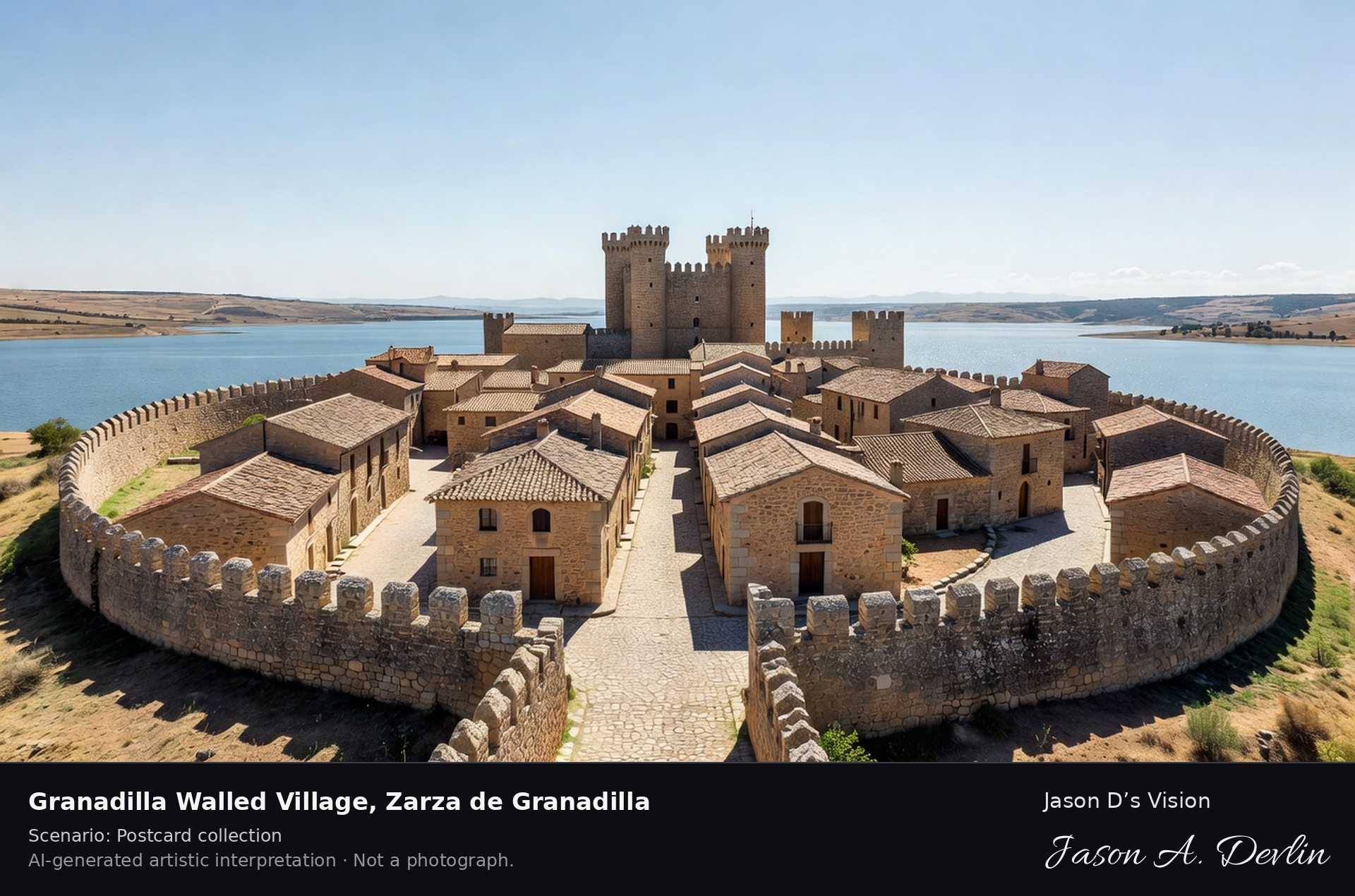
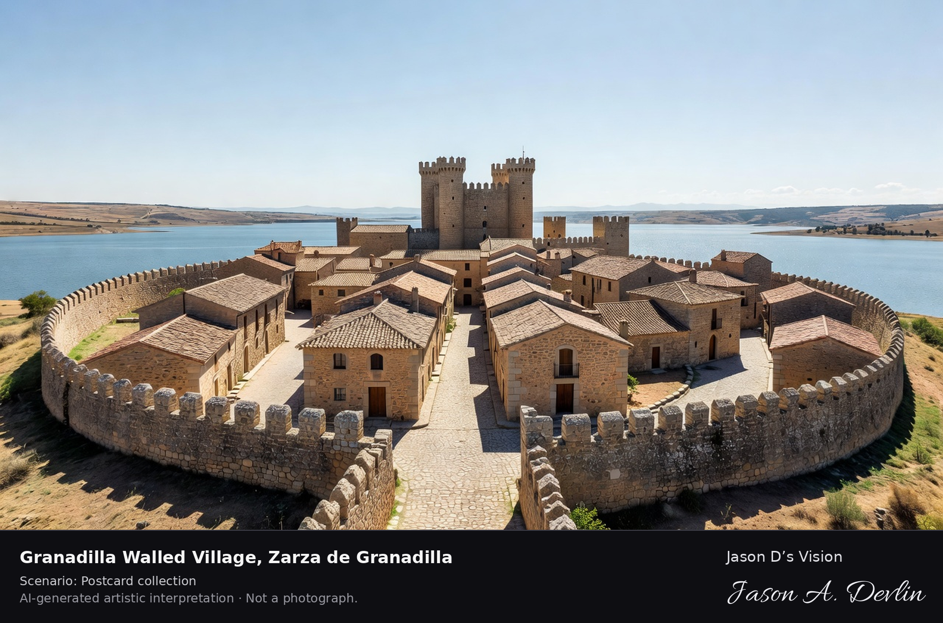
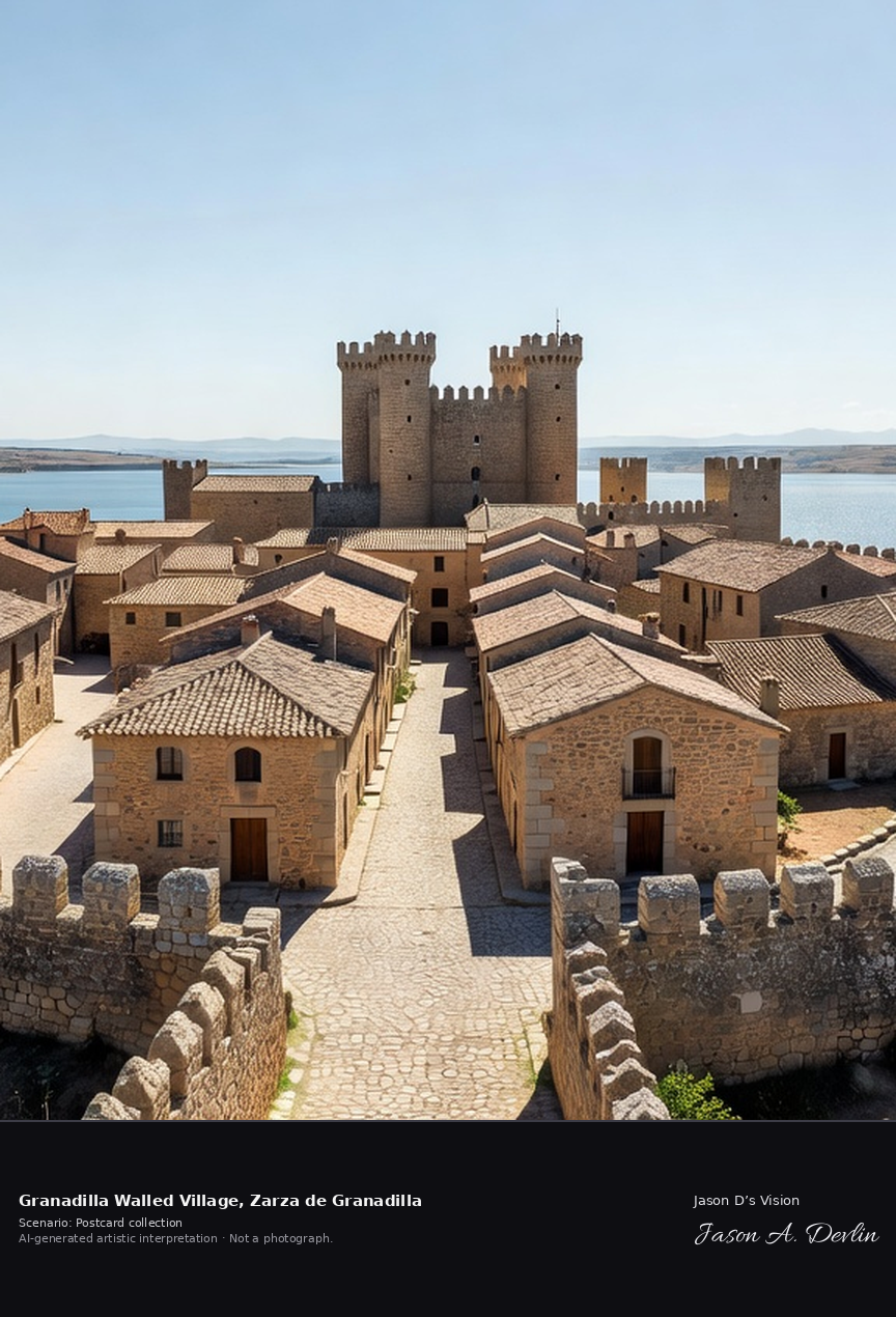
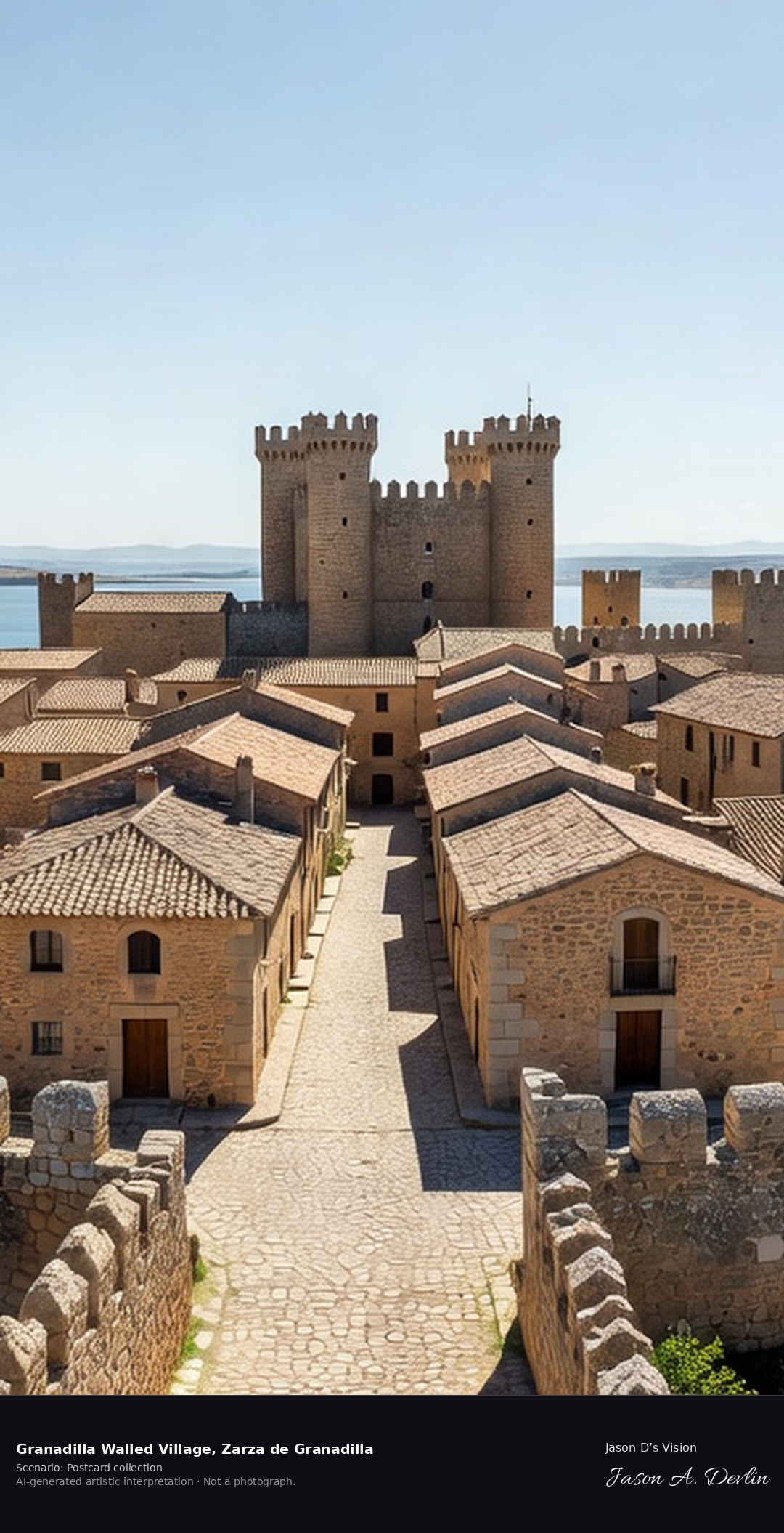
Granadilla is a complete walled medieval village above the Gabriel y Galán reservoir, emptied in the 1960s for a flooding that never reached it. Declared a Historic-Artistic Site in 1980 and since restored as an open-air museum, it has no permanent residents; visitors walk quiet, empty streets inside its Almohad walls. A fresh retrieval for this spot on 7 November 2026 recorded 14.2 °C, mainly clear (WMO code 1), cloud cover 77%, wind 4.5 km/h.
Postcard collection
Daylight
Viewpoint, conditions & editions
Elevated view over the emptied walled village: complete medieval wall ring centred, the granite Alba castle with its four round turrets at the wall, quiet empty streets and restored stone houses inside, the Gabriel y Galán reservoir water beyond — NO crowds, NO living-village bustle, streets empty as visitors find them. Reference-reported camera 40.267860 N, 6.105520 W; exact generated camera correspondence is unverified.
14.2°C, weather code 1 (mainly clear), cloud 77%, wind 4.5 km/h. Per-scene Open-Meteo retrieval 2026-11-07T19:26:12.225132+00:00 for the scene's own coordinates.
Downloads carry the finished label bar: caption, scenario and AI disclosure on the left, “Jason D’s Vision” with the script signature on the right.
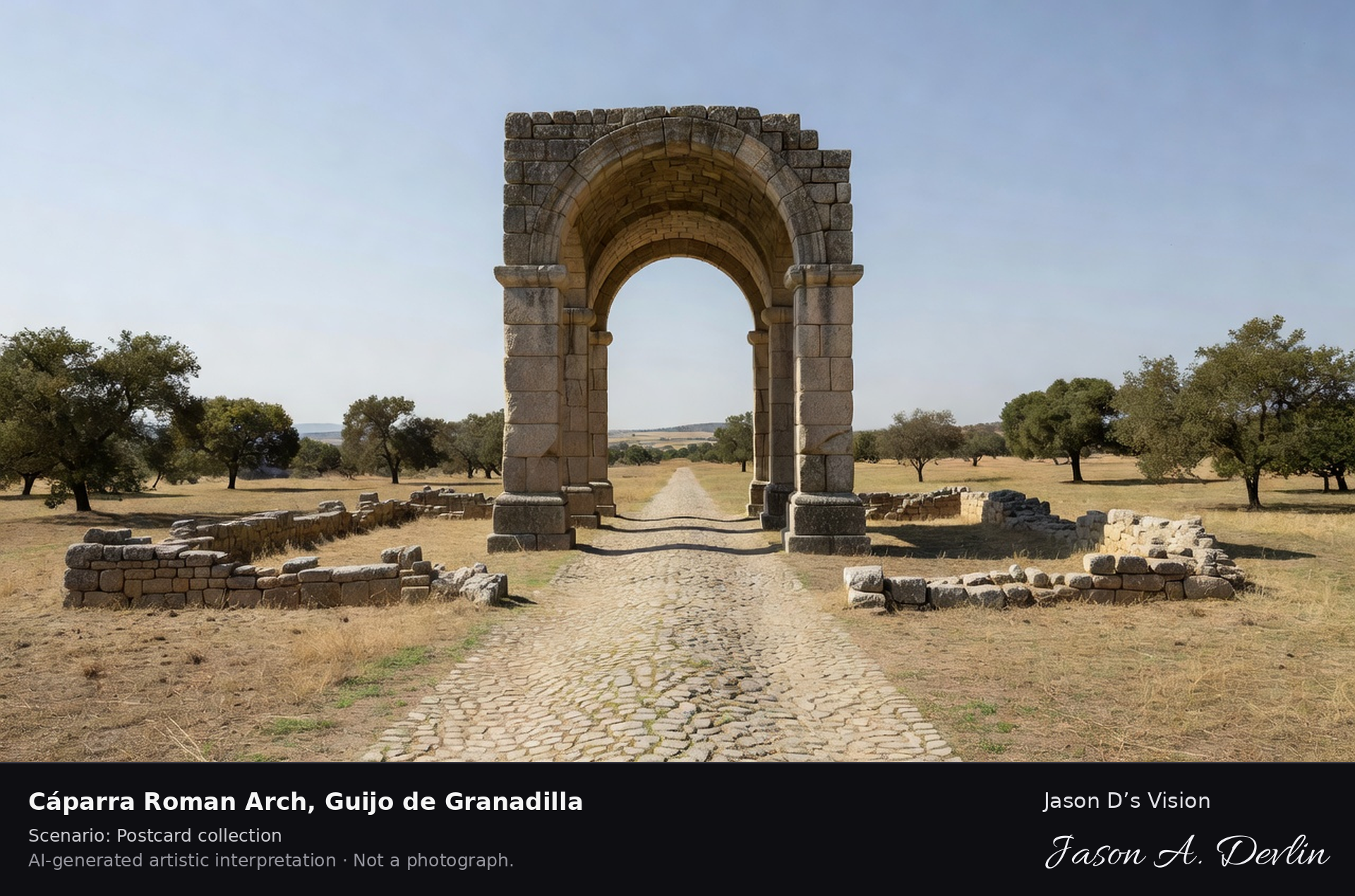
Cáparra Roman Arch ✓ · AI-generated artistic interpretation
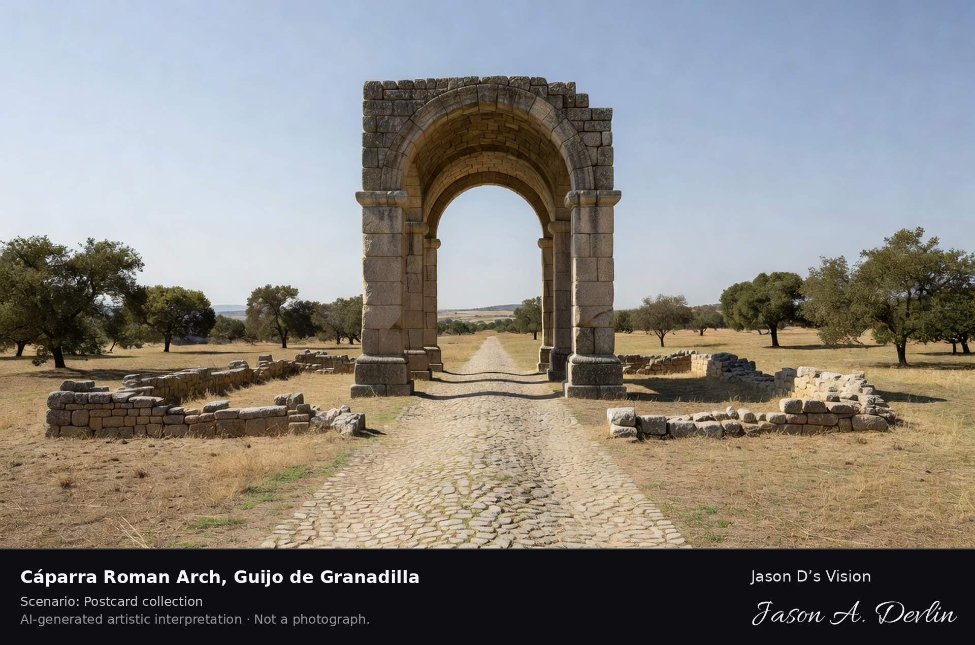
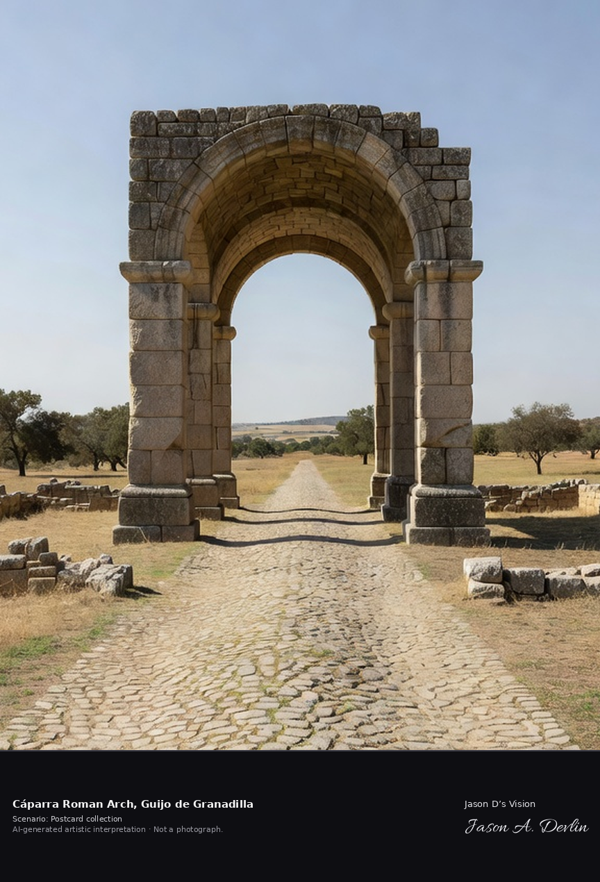
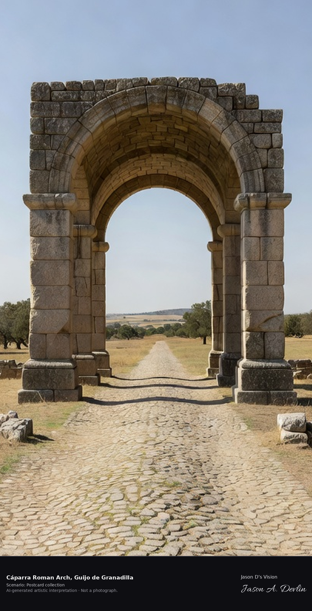
The arch of Cáparra is a granite tetrapylon, a four-way arch unique in Spain, built in the late first century AD at the centre of the Roman town of Capera on the Vía de la Plata. The Silver Way still passes beneath it, amid the excavated streets of the abandoned town. A fresh retrieval for this spot on 7 November 2026 recorded 13.5 °C, mainly clear (WMO code 1), cloud cover 79%, wind 5.2 km/h.
Postcard collection
Daylight
Viewpoint, conditions & editions
Across open dehesa grassland: the granite four-way tetrapylon arch standing alone and centred, the paved line of the Vía de la Plata passing beneath it, low excavated Roman street foundations around, oak dehesa and distant sierra behind. Reference-reported camera 40.234820 N, 6.050000 W; exact generated camera correspondence is unverified.
13.5°C, weather code 1 (mainly clear), cloud 79%, wind 5.2 km/h. Per-scene Open-Meteo retrieval 2026-11-07T19:26:25.869375+00:00 for the scene's own coordinates.
Downloads carry the finished label bar: caption, scenario and AI disclosure on the left, “Jason D’s Vision” with the script signature on the right.
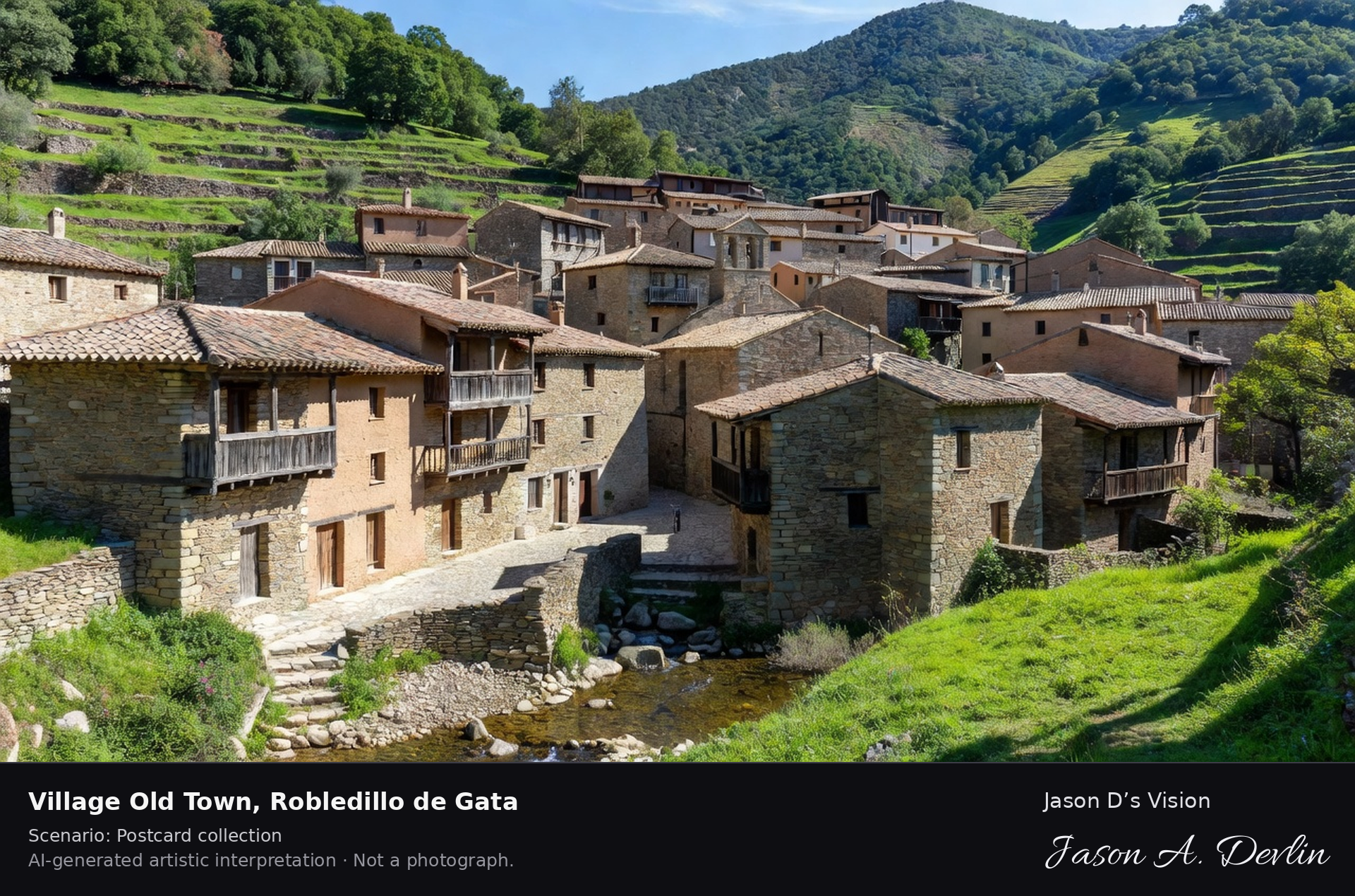
Village old town · AI-generated artistic interpretation
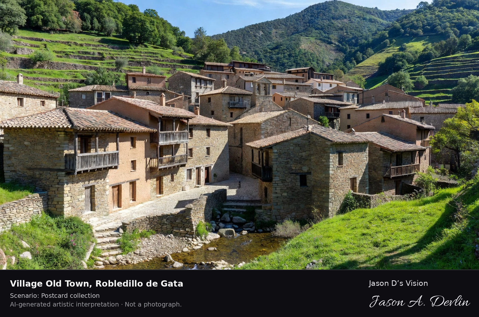
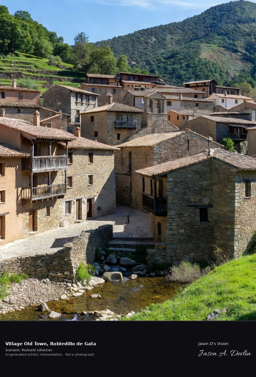
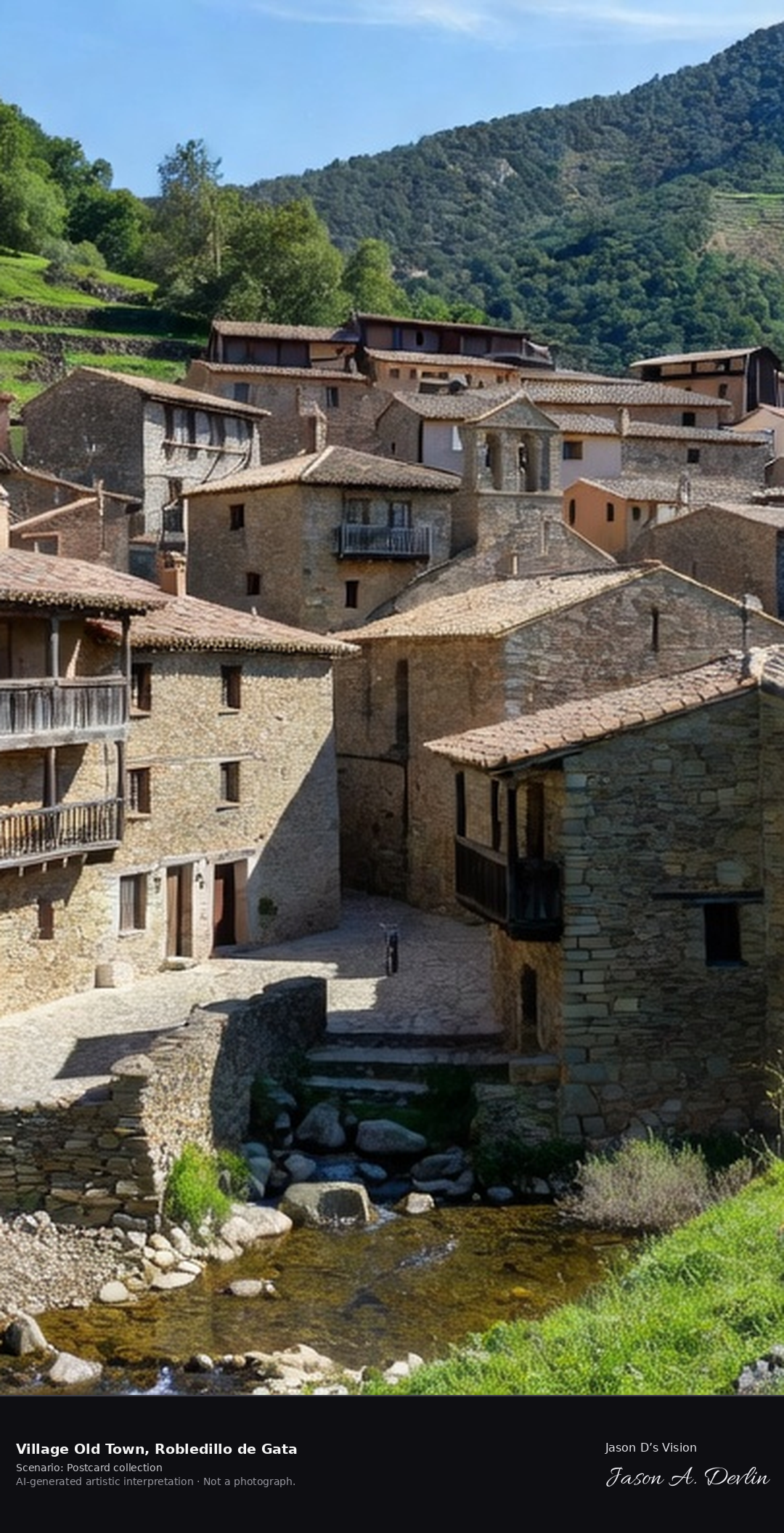
Robledillo de Gata is among Extremadura's best-preserved mountain villages, its slate, adobe and chestnut-timber houses with overhanging balconies and tunnel-like lanes terraced along the Árrago stream in the Sierra de Gata. It was declared a Historic-Artistic Site in 1994. A fresh retrieval for this spot on 7 November 2026 recorded 12.4 °C, mainly clear (WMO code 1), cloud cover 21%, wind 4.1 km/h.
Postcard collection
Daylight
Viewpoint, conditions & editions
Village view across its stream valley: slate, adobe and timber houses cascading down the terraced slope centred, overhanging wooden balconies and deep eaves, narrow lanes and tunnel passageways, the sixteenth-century church among the rooftops, green Sierra de Gata slopes behind. Reference-reported camera 40.322150 N, 6.470010 W; exact generated camera correspondence is unverified.
12.4°C, weather code 1 (mainly clear), cloud 21%, wind 4.1 km/h. Per-scene Open-Meteo retrieval 2026-11-07T19:26:39.001208+00:00 for the scene's own coordinates.
Downloads carry the finished label bar: caption, scenario and AI disclosure on the left, “Jason D’s Vision” with the script signature on the right.
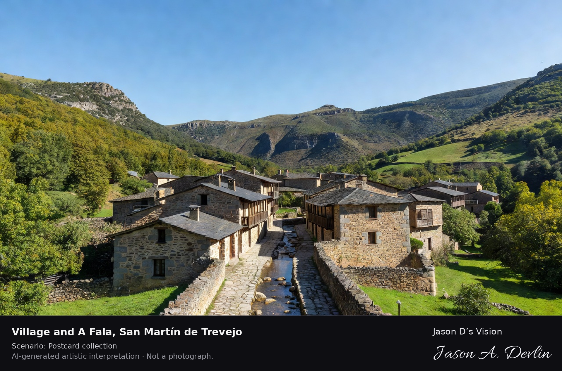
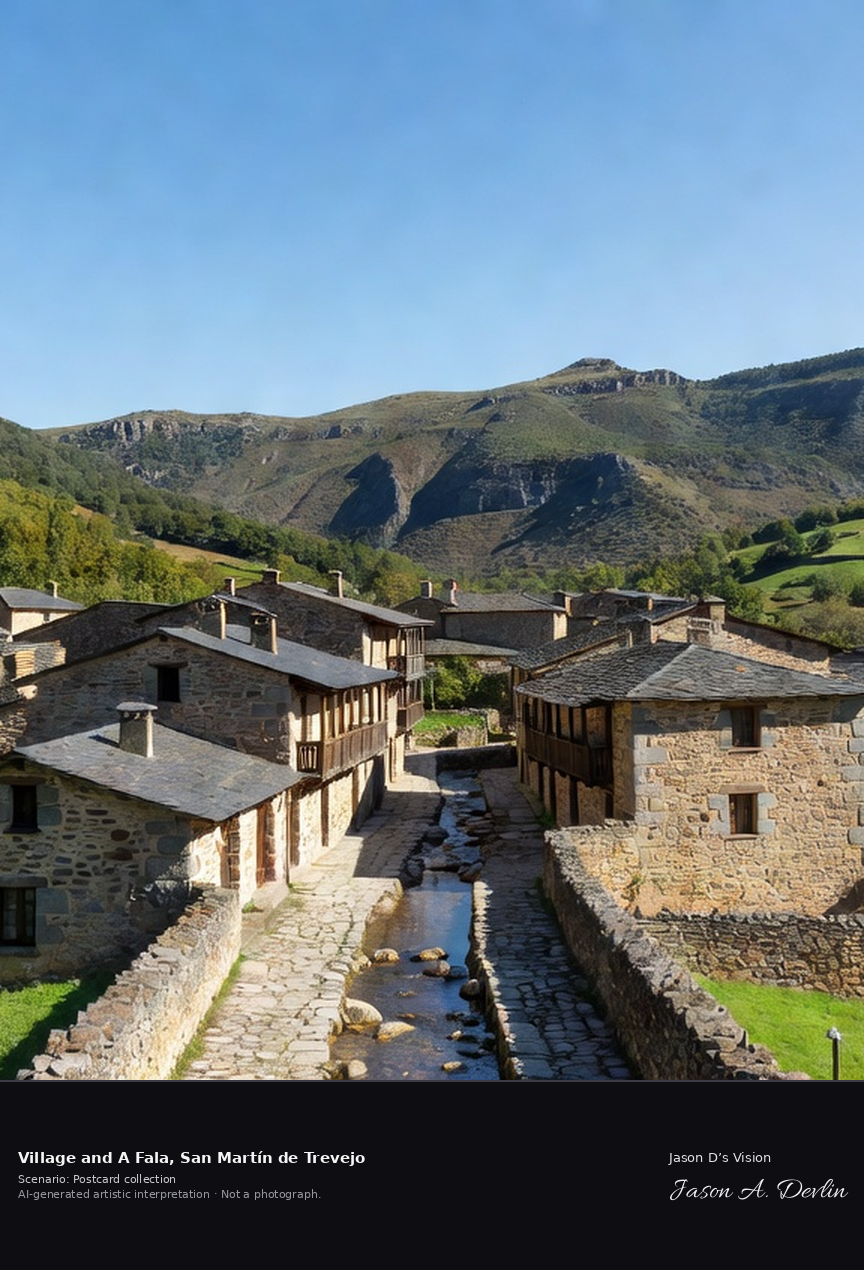
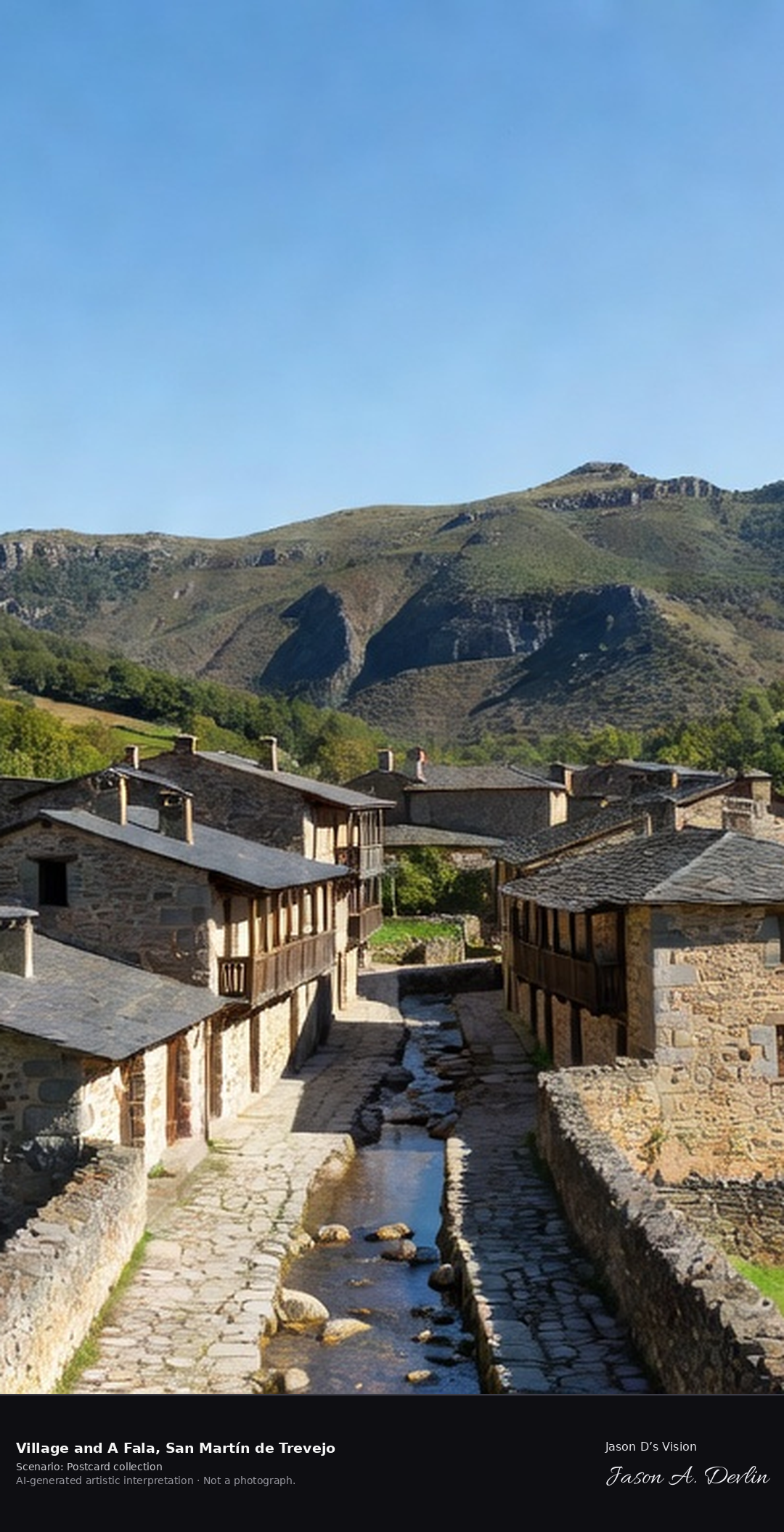
Village & A Fala · AI-generated artistic interpretation
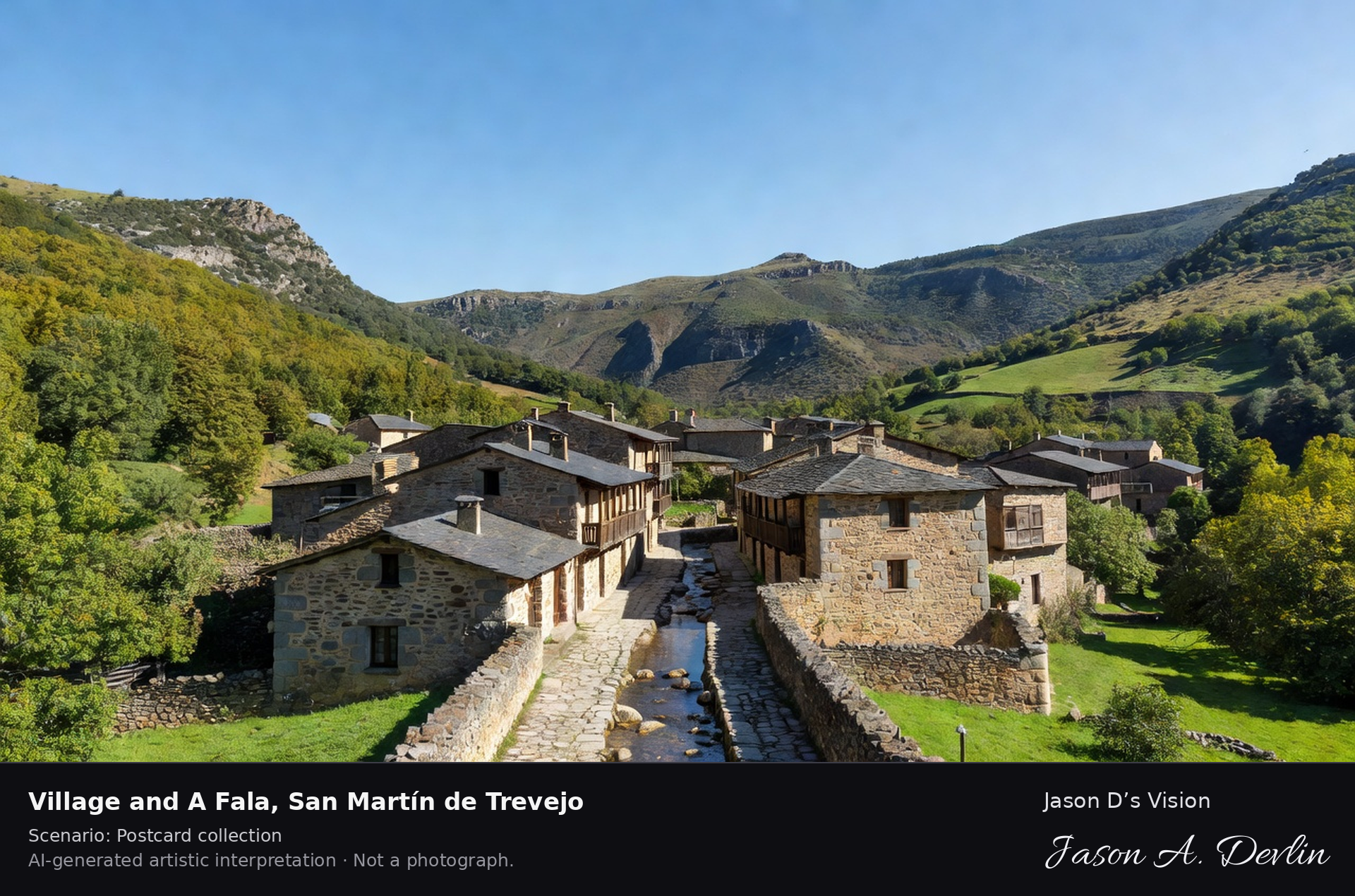
San Martín de Trevejo is a stone village of the Sierra de Gata, in the valley of the Xálima near Portugal, where the villages still speak A Fala, a Romance language of medieval Galician-Portuguese origin found almost nowhere else. Water channels run down the middle of its streets. A fresh retrieval for this spot on 7 November 2026 recorded 12.5 °C, partly cloudy (WMO code 2), cloud cover 22%, wind 9.4 km/h.
Postcard collection
Daylight
Viewpoint, conditions & editions
Village view along its main street valley: sturdy stone houses with slate roofs centred, water channels running down the street, chestnut and oak woods on the Sierra de Gata slopes behind, the church tower among the rooftops. Reference-reported camera 40.212460 N, 6.798840 W; exact generated camera correspondence is unverified.
12.5°C, weather code 2 (partly cloudy), cloud 22%, wind 9.4 km/h. Per-scene Open-Meteo retrieval 2026-11-07T19:26:52.471834+00:00 for the scene's own coordinates.
Downloads carry the finished label bar: caption, scenario and AI disclosure on the left, “Jason D’s Vision” with the script signature on the right.
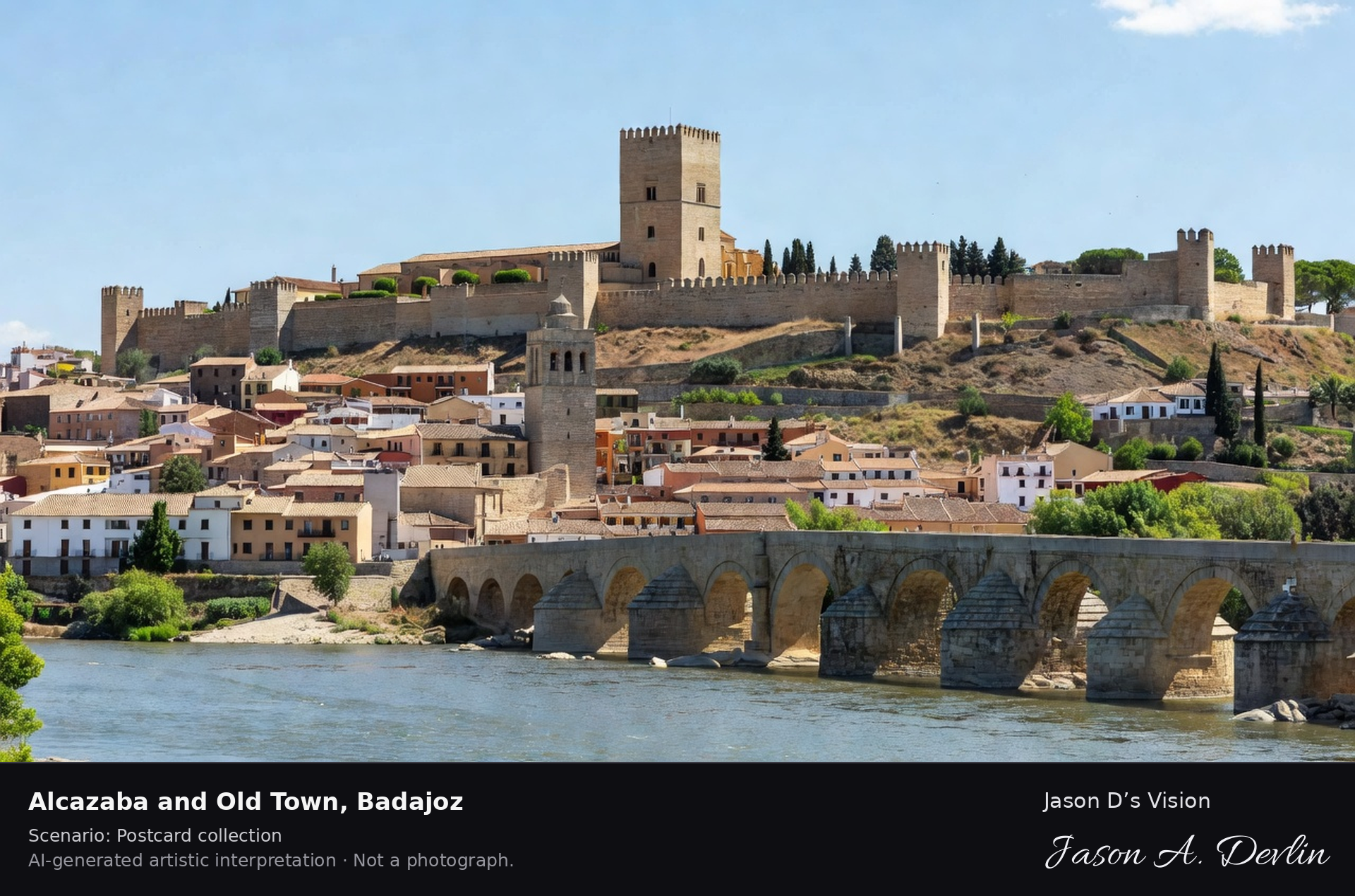
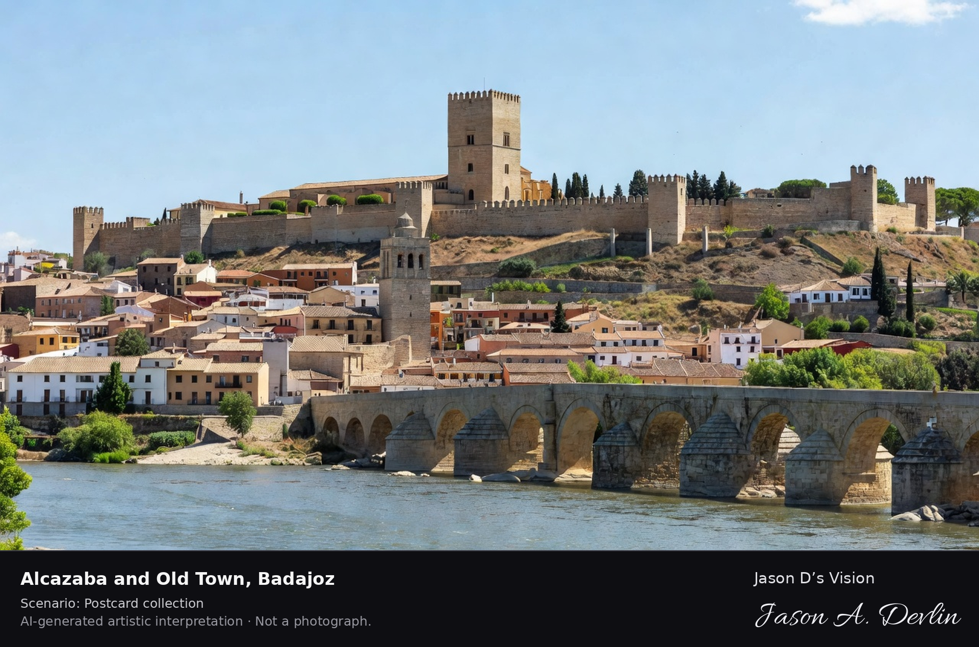
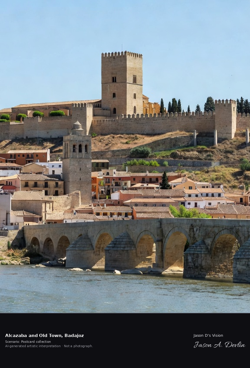
Alcazaba & old town · AI-generated artistic interpretation
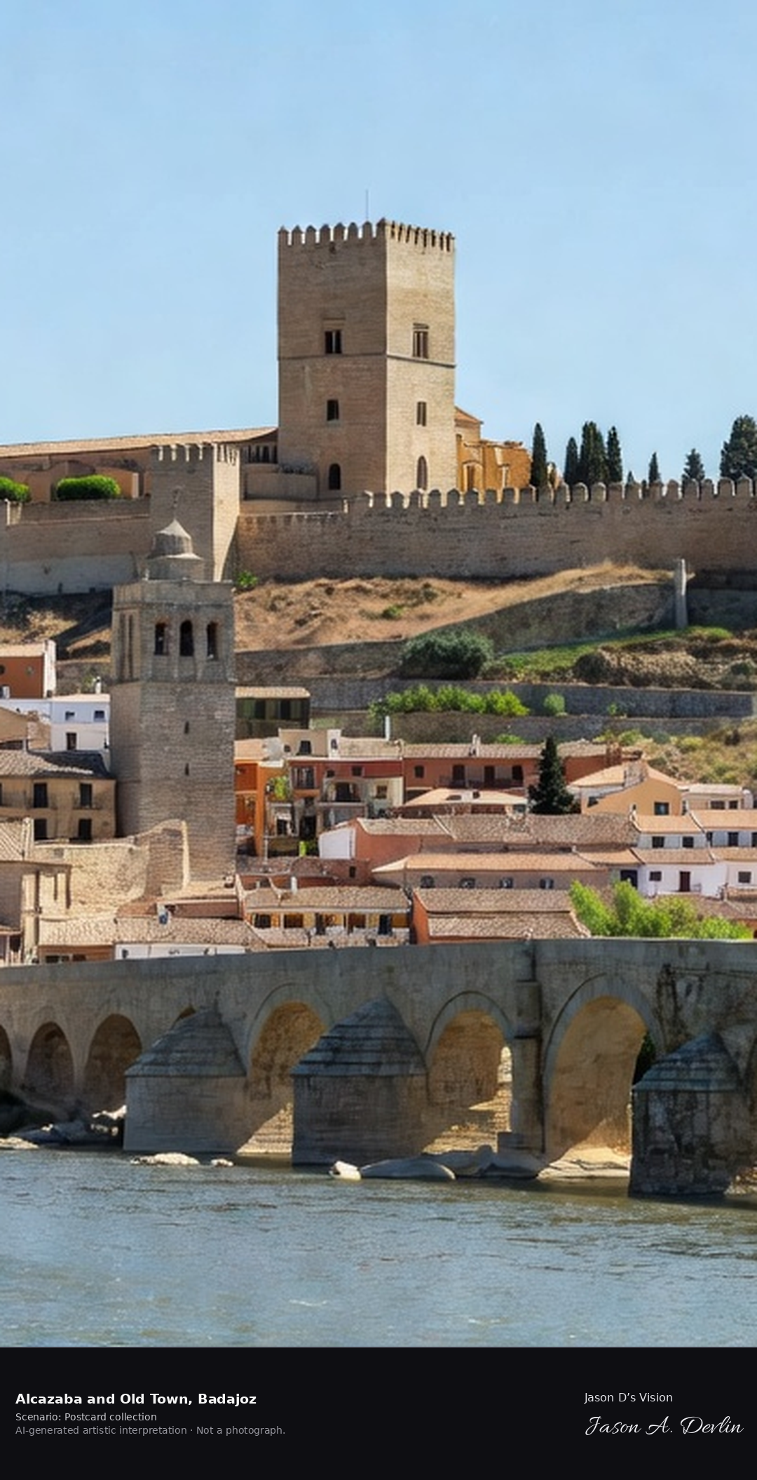
Badajoz's Alcazaba is Spain's largest Moorish citadel, some eight hectares of mostly Almohad walls on the Cerro de la Muela above the Guadiana, rebuilt in 1169 and guarded by the thirty-metre octagonal Espantaperros tower. The frontier city facing Portugal was founded in the ninth century. A fresh retrieval for this spot on 7 November 2026 recorded 19.0 °C, overcast (WMO code 3), cloud cover 58%, wind 6.4 km/h.
Postcard collection
Daylight
Viewpoint, conditions & editions
From across the Guadiana: the vast Almohad Alcazaba walls running along the Cerro de la Muela hilltop centred, the octagonal Espantaperros tower standing clear of the wall at one end, the old town and cathedral tower below, the river and Puente de Palmas in the foreground. Reference-reported camera 38.874830 N, 6.972720 W; exact generated camera correspondence is unverified.
19°C, weather code 3 (overcast), cloud 58%, wind 6.4 km/h. Per-scene Open-Meteo retrieval 2026-11-07T19:27:05.235081+00:00 for the scene's own coordinates.
Downloads carry the finished label bar: caption, scenario and AI disclosure on the left, “Jason D’s Vision” with the script signature on the right.
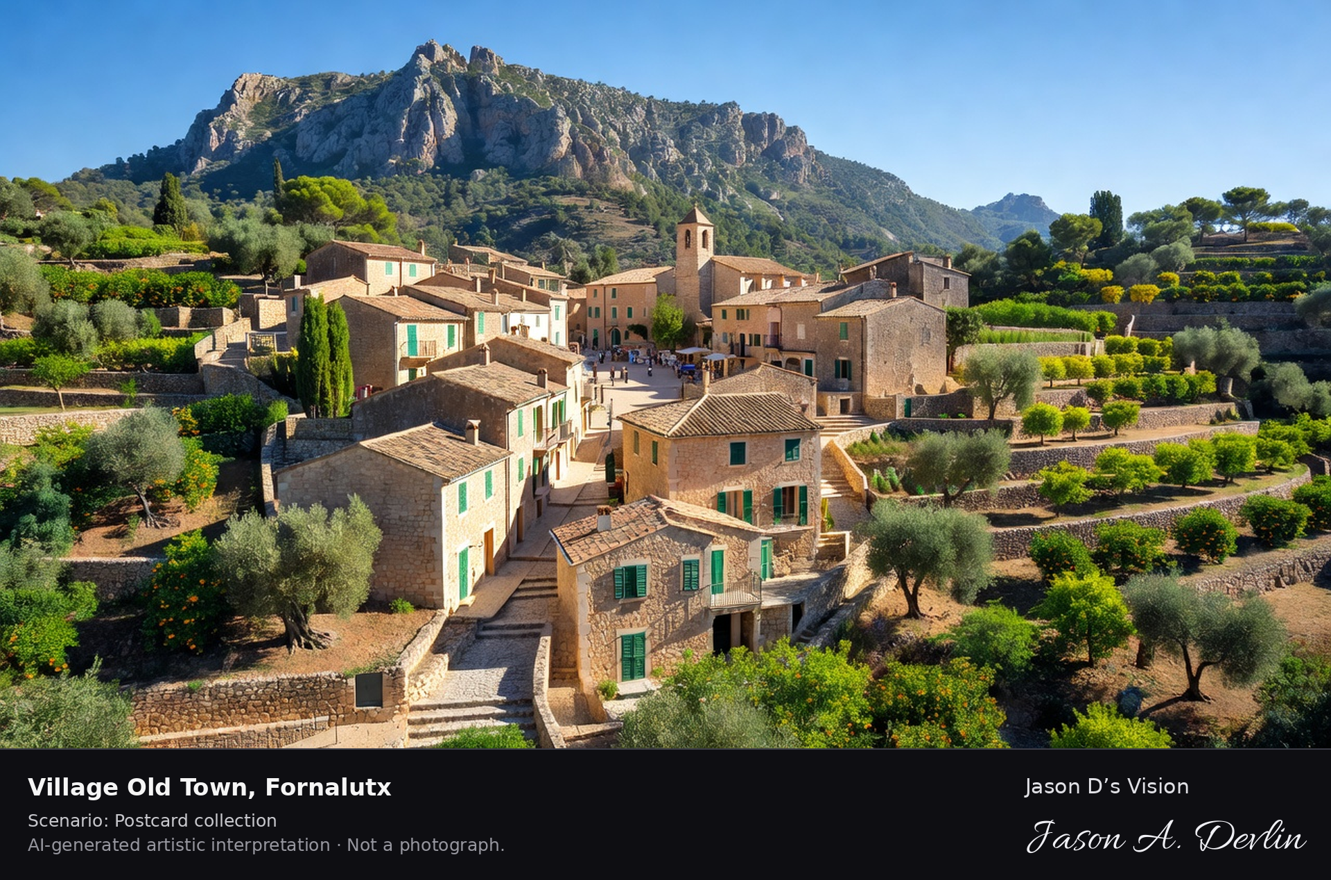
Village old town ✓ · AI-generated artistic interpretation
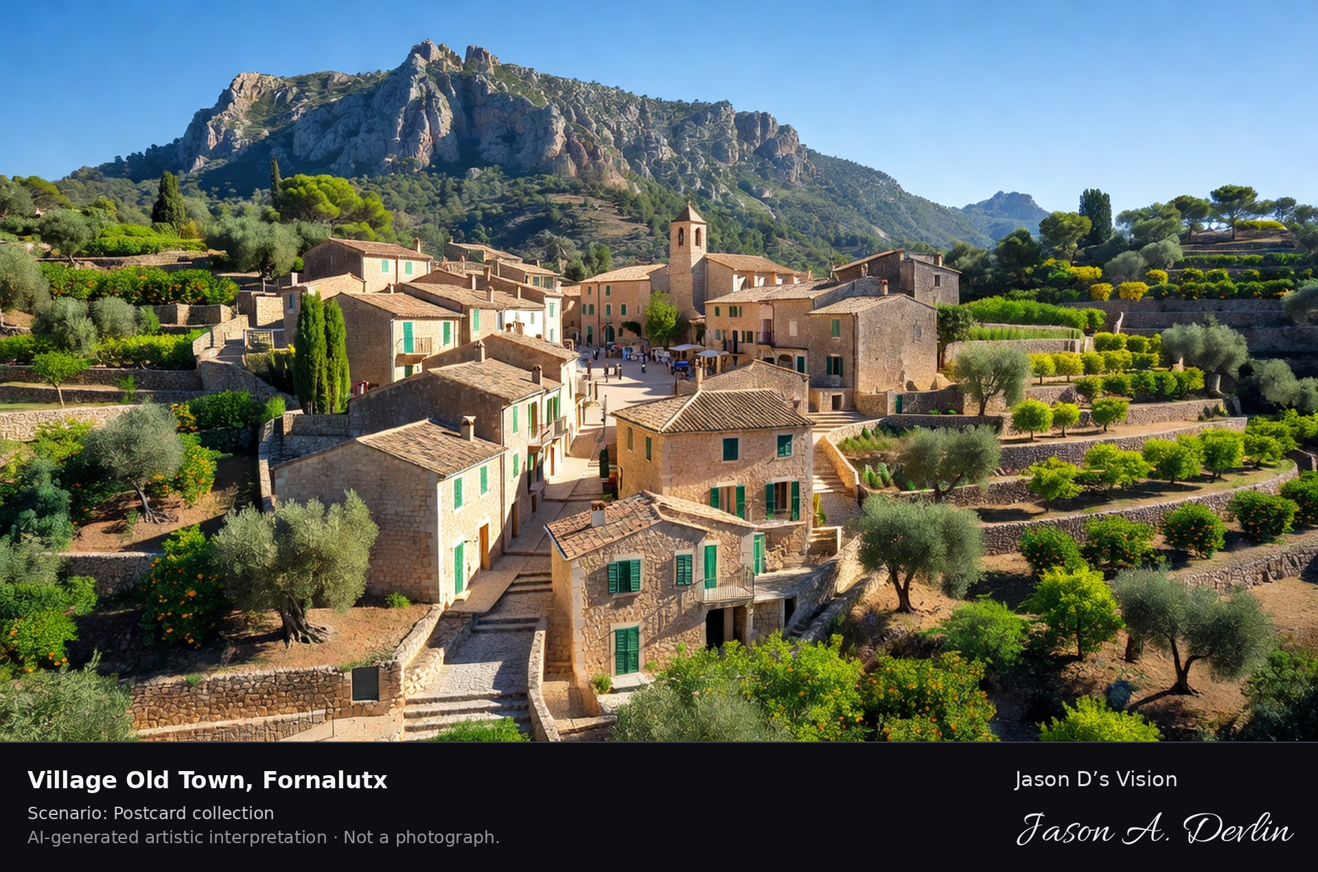
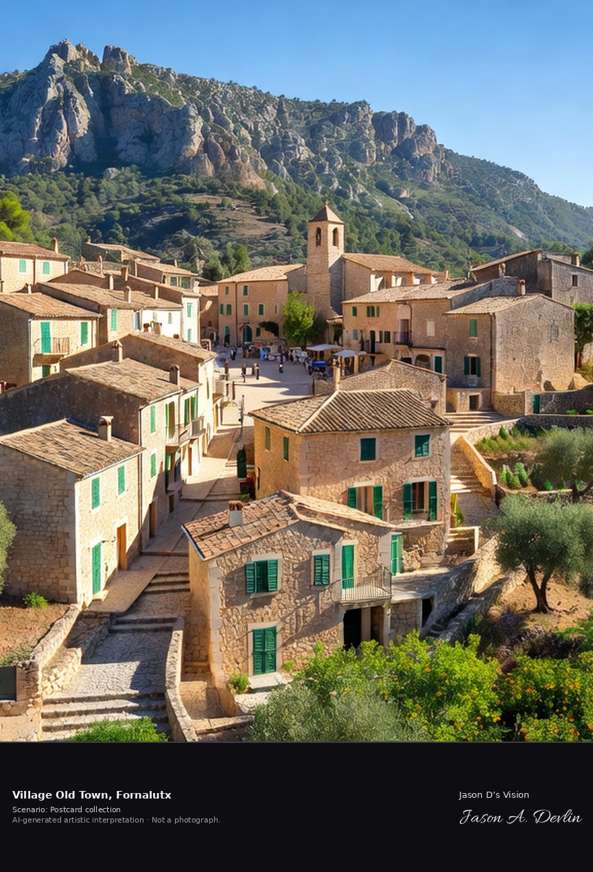
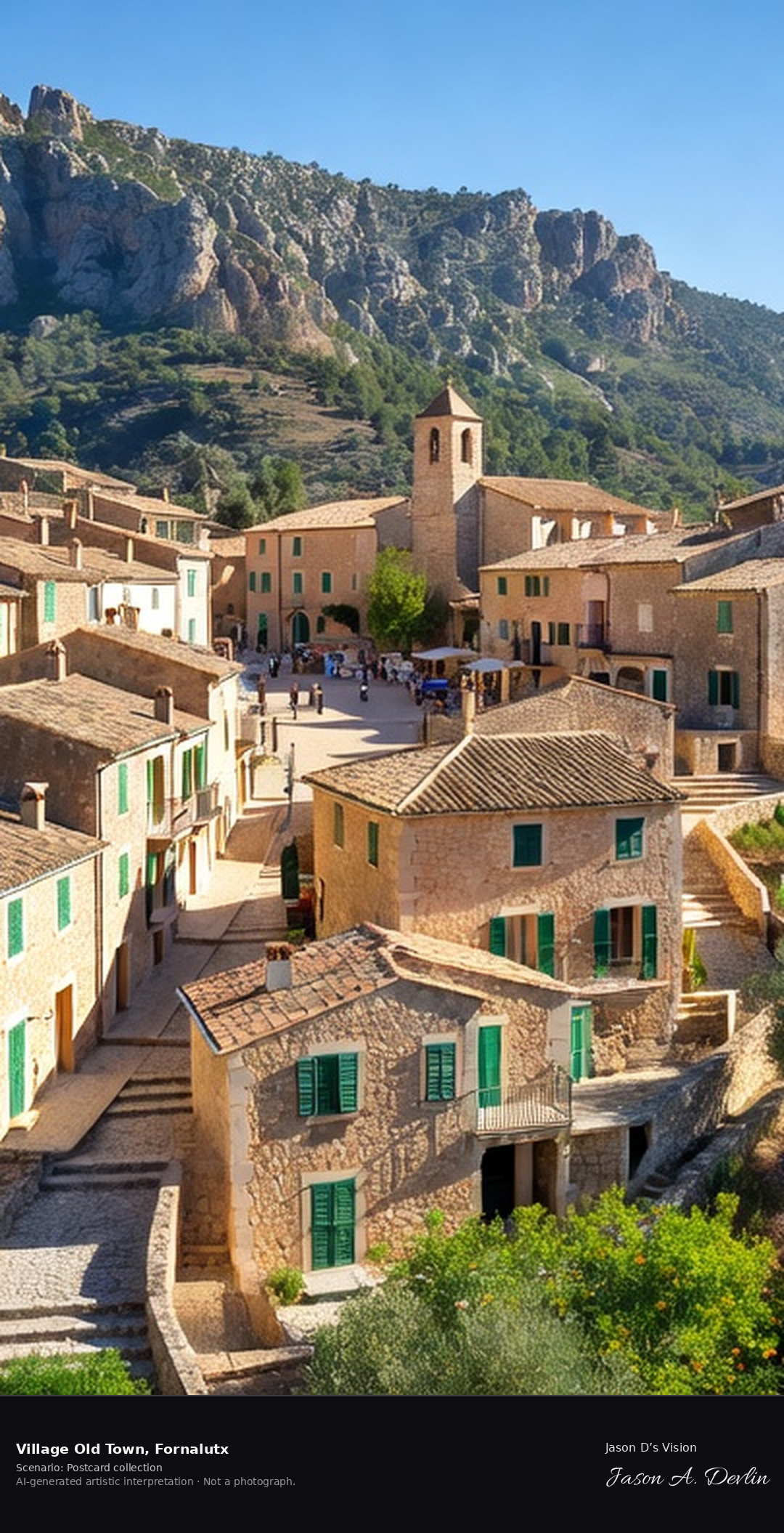
Fornalutx is a stone mountain village in Mallorca's Serra de Tramuntana, a UNESCO World Heritage landscape, its houses tiered up stepped lanes beneath Puig Major, the island's highest peak. Repeatedly named among Spain's most beautiful villages, it grew around its parish church above Plaça d'Espanya amid citrus and olive terraces. A fresh retrieval for this spot on 7 November 2026 recorded 17.3 °C, mainly clear (WMO code 1), cloud cover 47%, wind 6.6 km/h.
Postcard collection
Daylight
Viewpoint, conditions & editions
Village panorama from across the Sóller valley slope: honey-stone houses with red-tiled roofs and green shutters tiered up stepped lanes, small parish church above Plaça d'Espanya, citrus and olive terraces around, Puig Major massif behind. Reference-reported camera 39.780600 N, 2.739360 E; exact generated camera correspondence is unverified.
17.3°C, weather code 1 (mainly clear), cloud 47%, wind 6.6 km/h. Per-scene Open-Meteo retrieval 2026-11-07T19:24:21.933163+00:00 for the scene's own coordinates.
Downloads carry the finished label bar: caption, scenario and AI disclosure on the left, “Jason D’s Vision” with the script signature on the right.
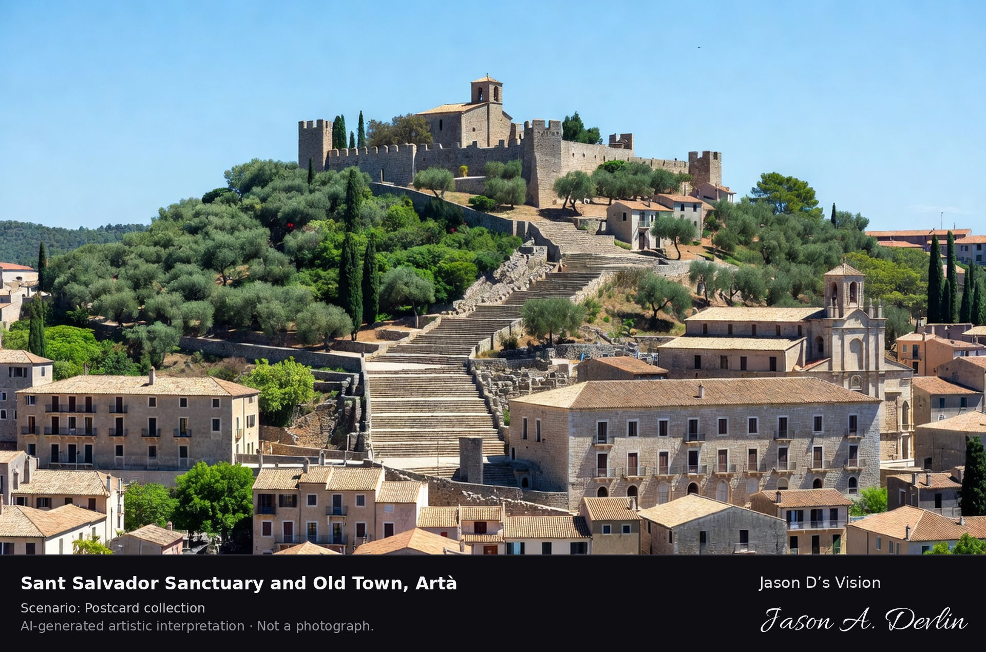
Sant Salvador Sanctuary & old town · AI-generated artistic interpretation
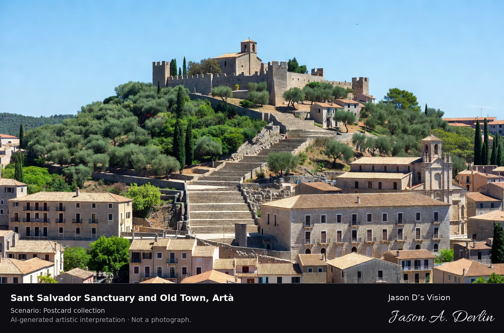
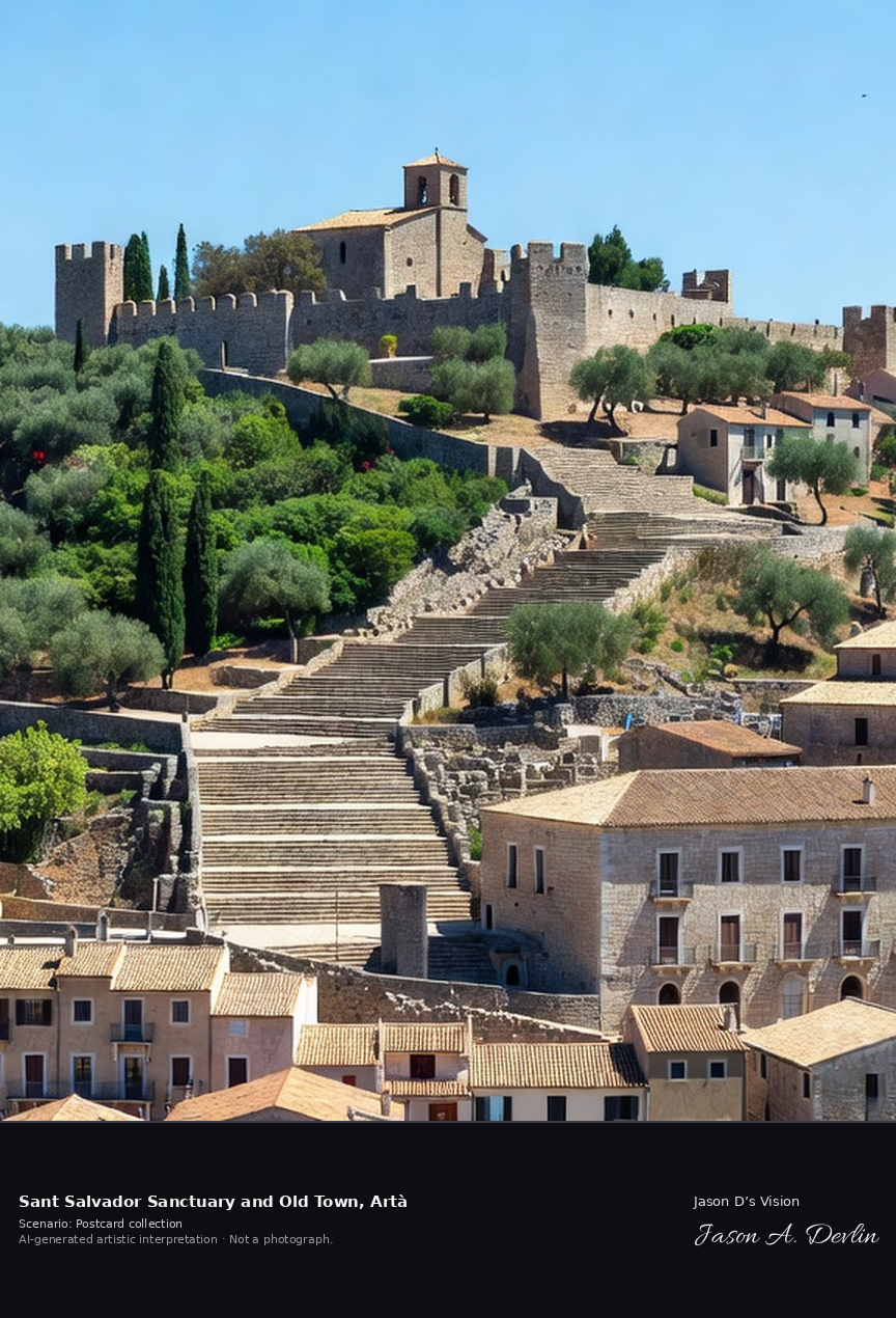
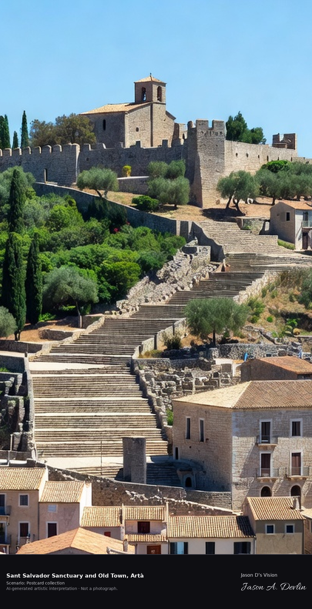
The Sant Salvador sanctuary crowns a walled hill above Artà in eastern Mallorca, reached by a broad Calvary stairway from the old town of stone mansions below. The fortified sanctuary, with its small church, has watched over this market town near the Llevant caves country for centuries. A fresh retrieval for this spot on 7 November 2026 recorded 16.4 °C, overcast (WMO code 3), cloud cover 94%, wind 0.5 km/h.
Postcard collection
Daylight
Viewpoint, conditions & editions
From the old town below: walled hilltop Sant Salvador sanctuary centred on its hill, crenellated walls and small church with tower, the broad Calvary stairway climbing to it, Artà's mansion rooftops and parish church in the foreground. Reference-reported camera 39.696070 N, 3.351380 E; exact generated camera correspondence is unverified.
16.4°C, weather code 3 (overcast), cloud 94%, wind 0.5 km/h. Per-scene Open-Meteo retrieval 2026-11-07T19:24:35.506378+00:00 for the scene's own coordinates.
Downloads carry the finished label bar: caption, scenario and AI disclosure on the left, “Jason D’s Vision” with the script signature on the right.
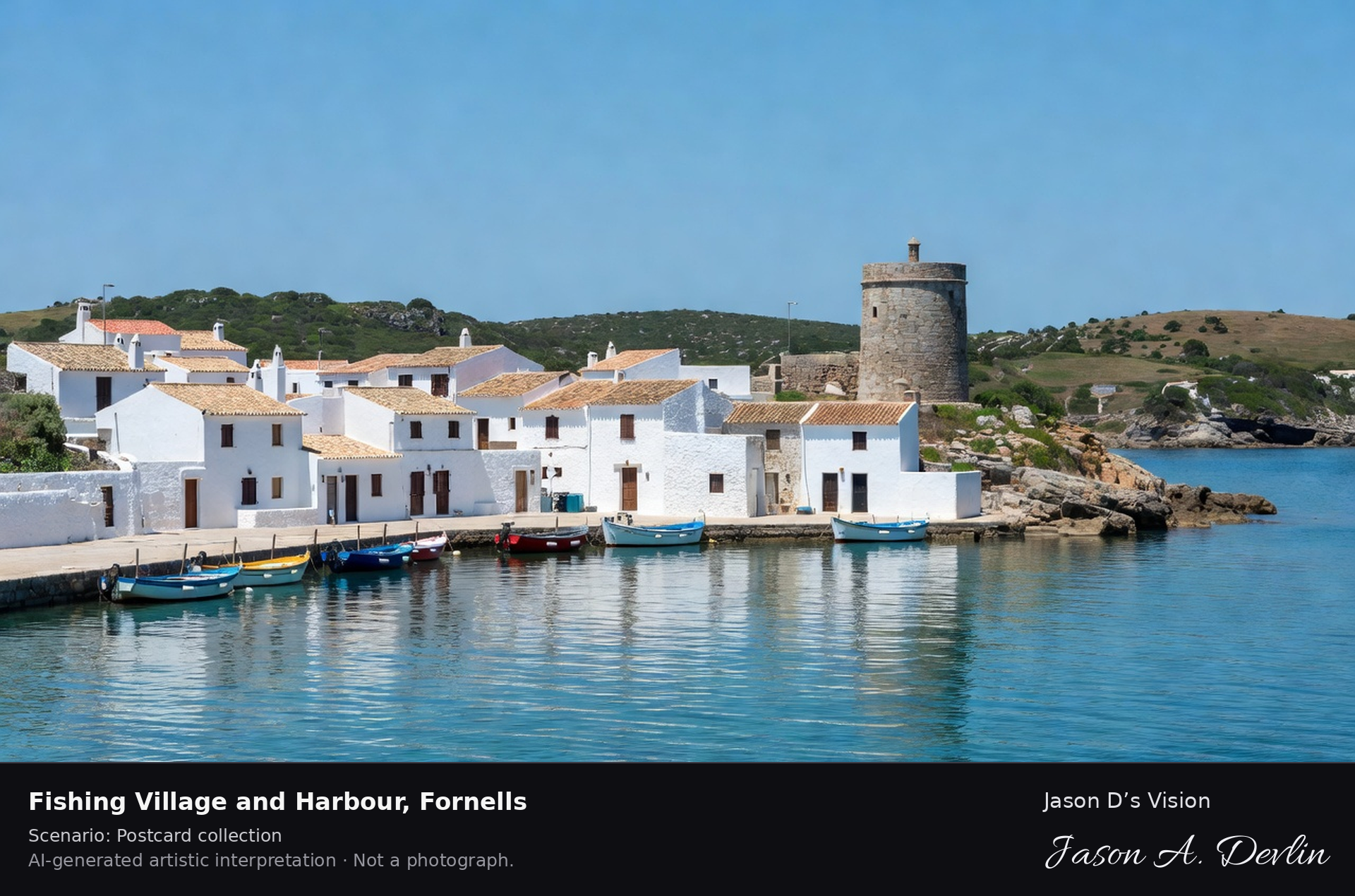
Fishing village & harbour · AI-generated artistic interpretation
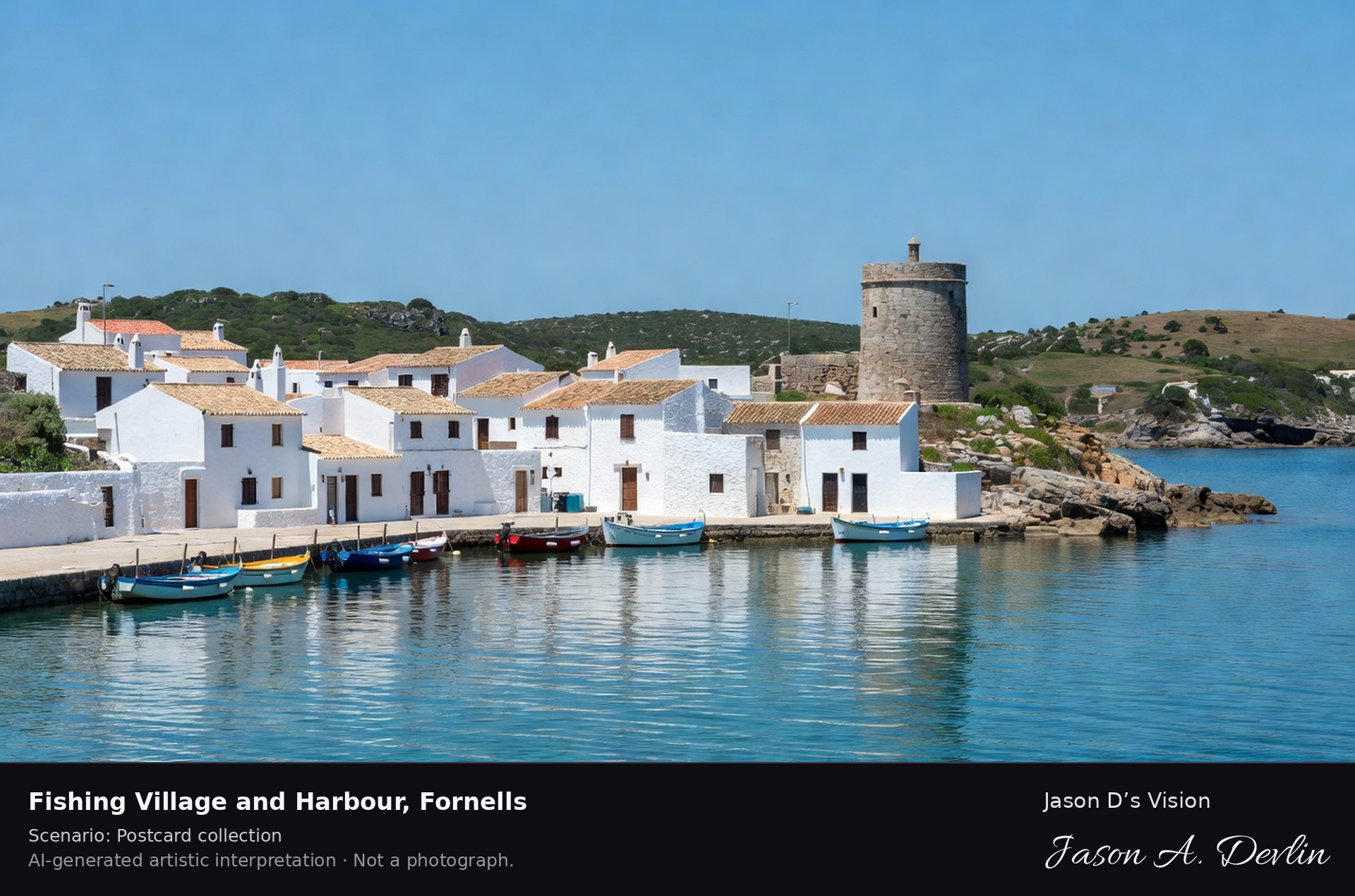
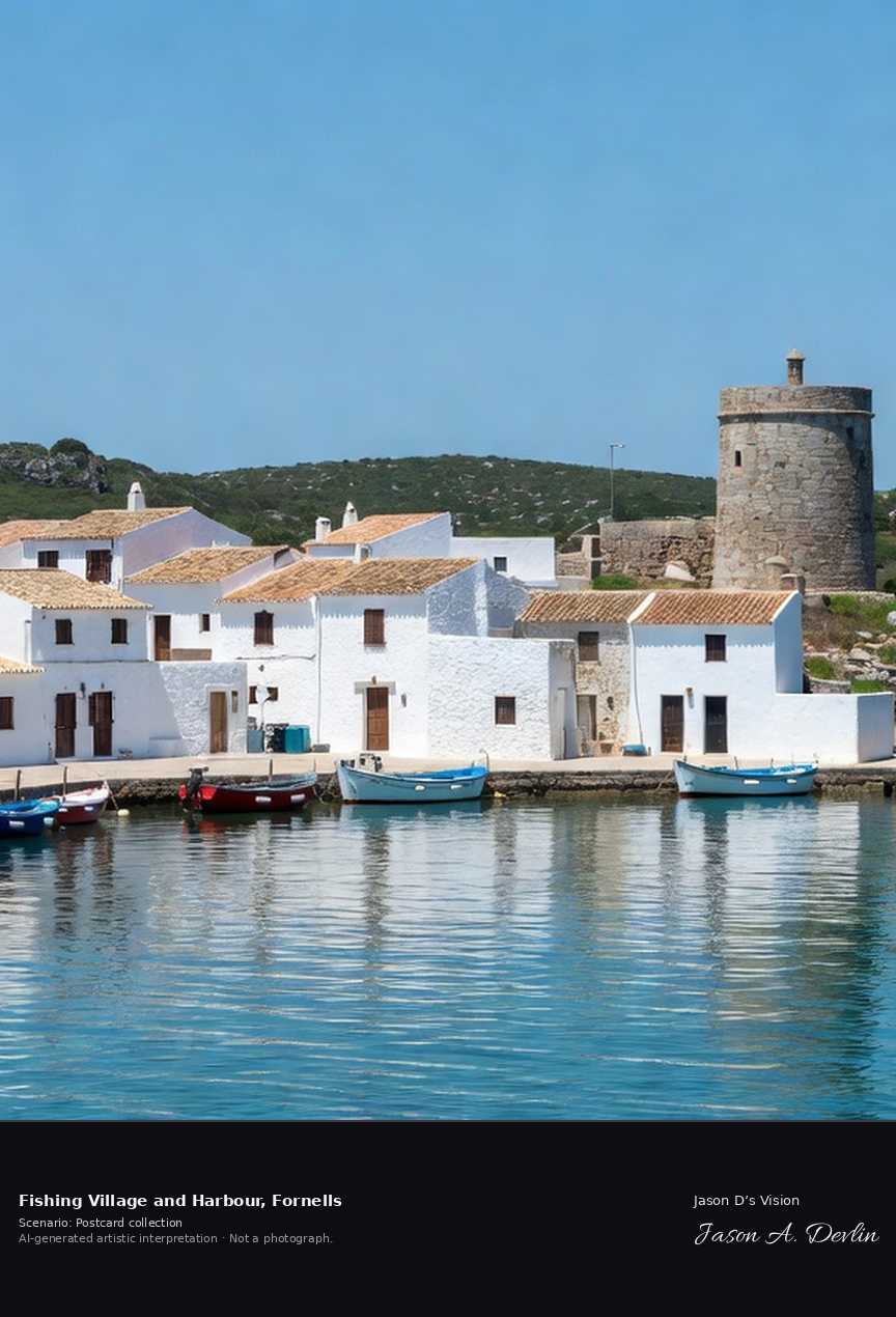
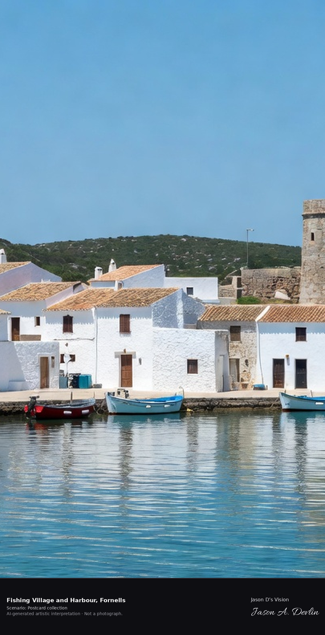
Fornells is a whitewashed fishing village on a great sheltered bay on Menorca's north coast, guarded by the round Torre de Fornells watchtower. It is famous across Spain as the home of caldereta de langosta, the Menorcan lobster stew served in its harbour restaurants. A fresh retrieval for this spot on 7 November 2026 recorded 17.9 °C, partly cloudy (WMO code 2), cloud cover 90%, wind 6.8 km/h.
Postcard collection
Daylight
Viewpoint, conditions & editions
Across the sheltered bay: whitewashed single-storey harbour village centred along the waterfront, fishing boats moored in calm water in the foreground, the round Torre de Fornells watchtower on the headland at the side, low green Menorcan hills behind. Reference-reported camera 40.052220 N, 4.129870 E; exact generated camera correspondence is unverified.
17.9°C, weather code 2 (partly cloudy), cloud 90%, wind 6.8 km/h. Per-scene Open-Meteo retrieval 2026-11-07T19:24:48.375402+00:00 for the scene's own coordinates.
Downloads carry the finished label bar: caption, scenario and AI disclosure on the left, “Jason D’s Vision” with the script signature on the right.
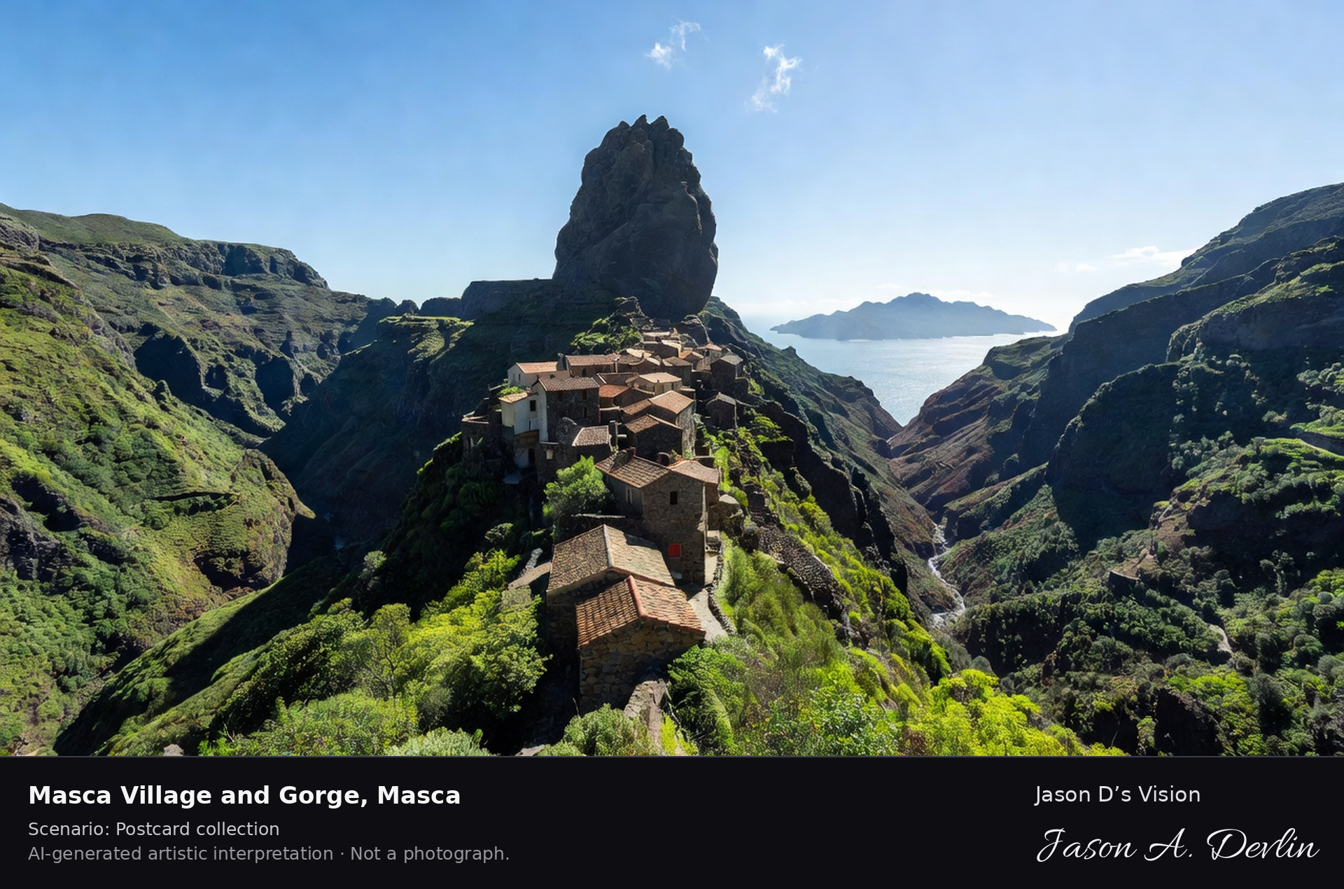
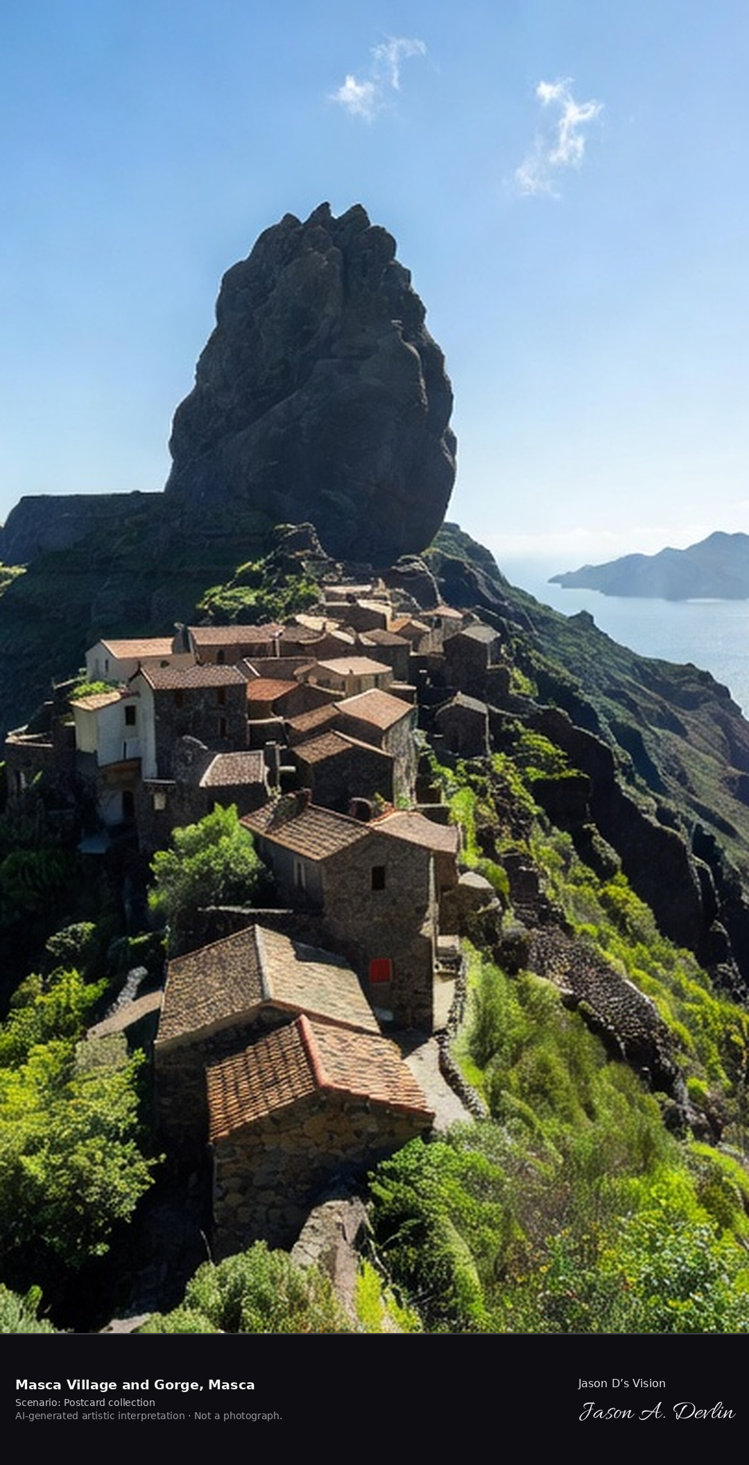
Masca village & gorge ✓ · AI-generated artistic interpretation
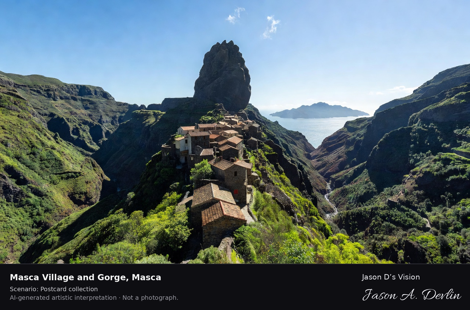
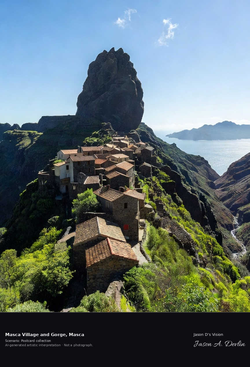
Masca is a hamlet of traditional stone houses balanced along a ridge between the deepest ravines of Tenerife's Teno massif, at about 650 metres above the sea. Classed as a Historic Site, it is often compared to Machu Picchu, and its gorge trail descends from the village to the Atlantic coast. A fresh retrieval for this spot on 7 November 2026 recorded 23.2 °C, overcast (WMO code 3), cloud cover 100%, wind 25.7 km/h.
Postcard collection
Daylight
Viewpoint, conditions & editions
Panorama across the Teno ravines: traditional stone houses with tiled roofs balanced along a narrow ridge centred, the bullet-shaped rock pinnacle above the village, the deep Masca gorge falling away toward the Atlantic with La Gomera framed in the V of the ravine. Reference-reported camera 28.304910 N, 16.840230 W; exact generated camera correspondence is unverified.
23.2°C, weather code 3 (overcast), cloud 100%, wind 25.7 km/h. Per-scene Open-Meteo retrieval 2026-11-07T19:25:01.127058+00:00 for the scene's own coordinates.
Downloads carry the finished label bar: caption, scenario and AI disclosure on the left, “Jason D’s Vision” with the script signature on the right.
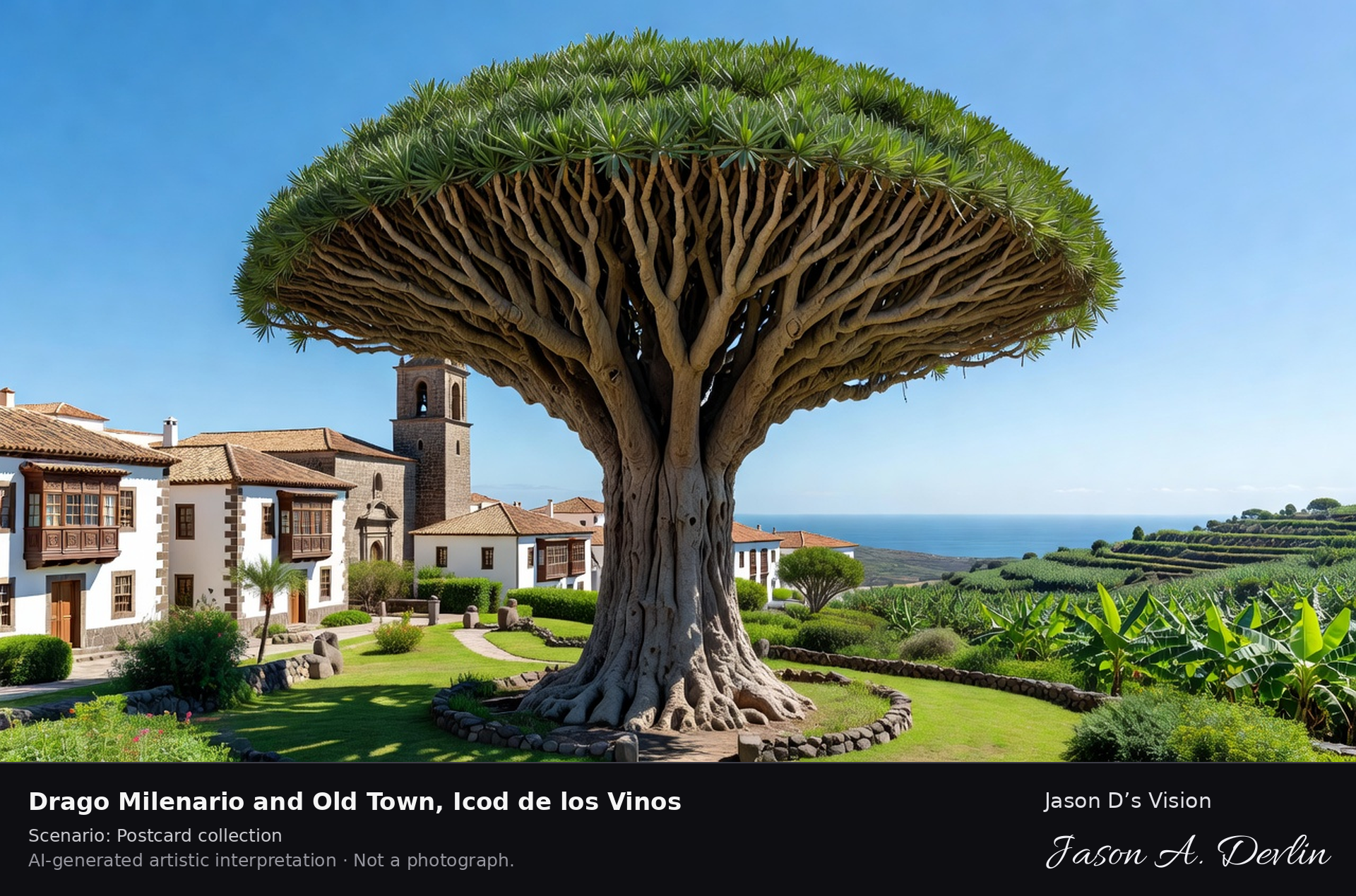
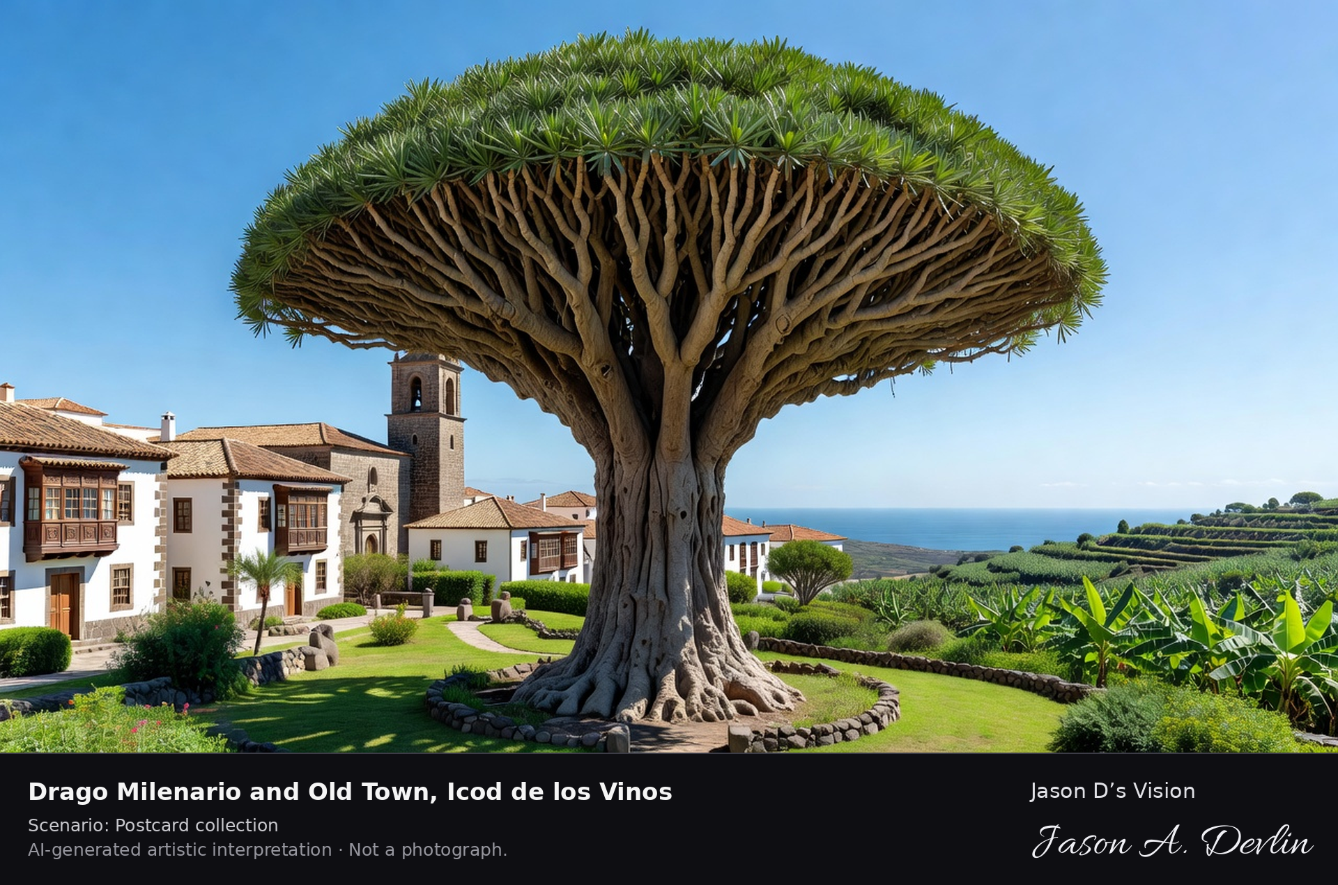
Drago Milenario & old town · AI-generated artistic interpretation
The Drago Milenario in Icod de los Vinos is Tenerife's living emblem, a vast dragon tree with a massive trunk and umbrella crown, long famed as the thousand-year tree, though modern estimates put its age lower. It stands in a park beside an old town of churches and Canarian balcony houses above banana groves. A fresh retrieval for this spot on 7 November 2026 recorded 26.3 °C, overcast (WMO code 3), cloud cover 100%, wind 17.7 km/h.
Postcard collection
Daylight
Viewpoint, conditions & editions
From the park plaza: the immense Drago Milenario centred, its thick gnarled trunk and vast umbrella crown of sword leaves, the church tower and Canarian balcony houses of the old town beside it, banana groves and the coast below. Reference-reported camera 28.366410 N, 16.721830 W; exact generated camera correspondence is unverified.
26.3°C, weather code 3 (overcast), cloud 100%, wind 17.7 km/h. Per-scene Open-Meteo retrieval 2026-11-07T19:25:14.159683+00:00 for the scene's own coordinates.
Downloads carry the finished label bar: caption, scenario and AI disclosure on the left, “Jason D’s Vision” with the script signature on the right.
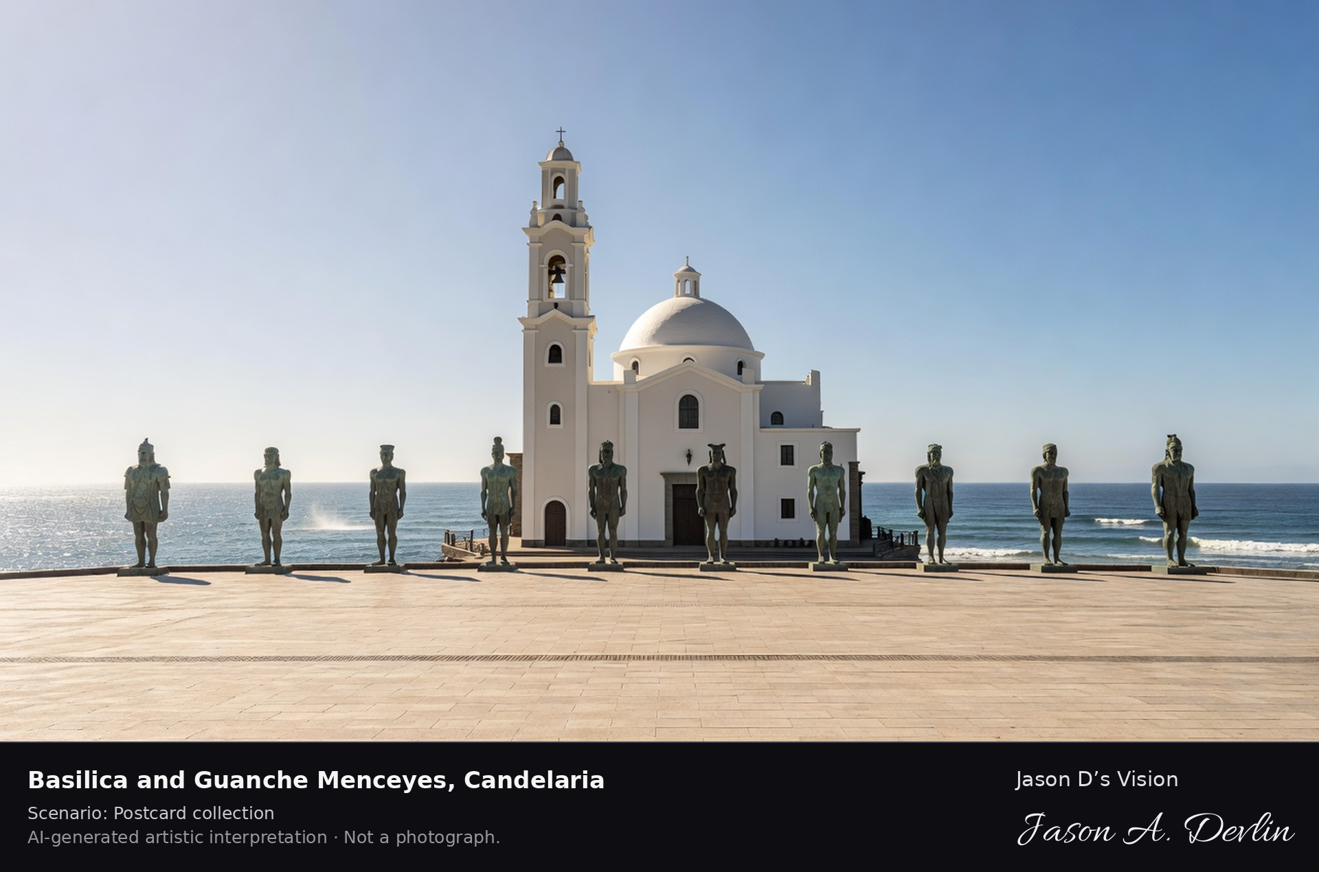
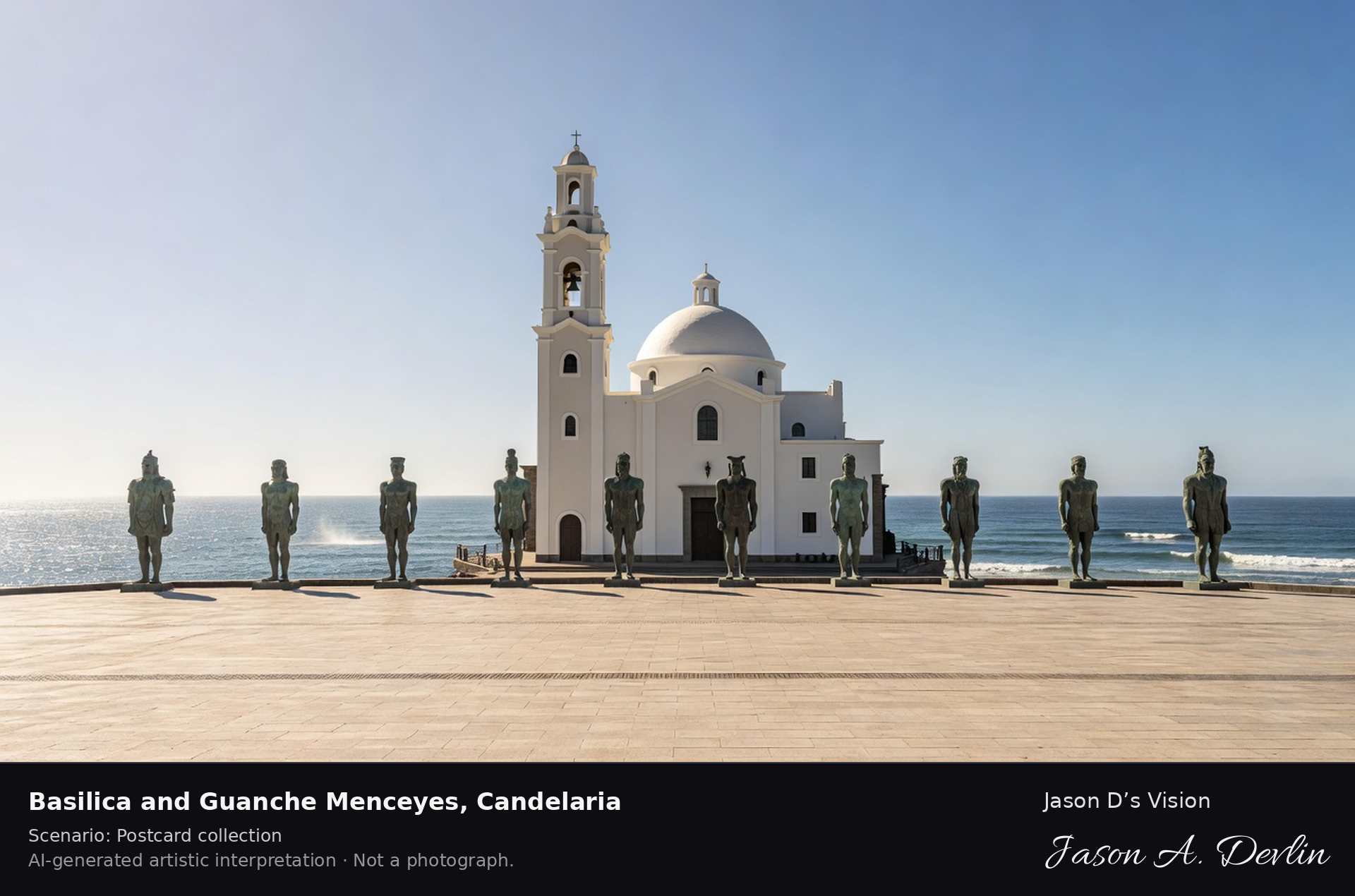
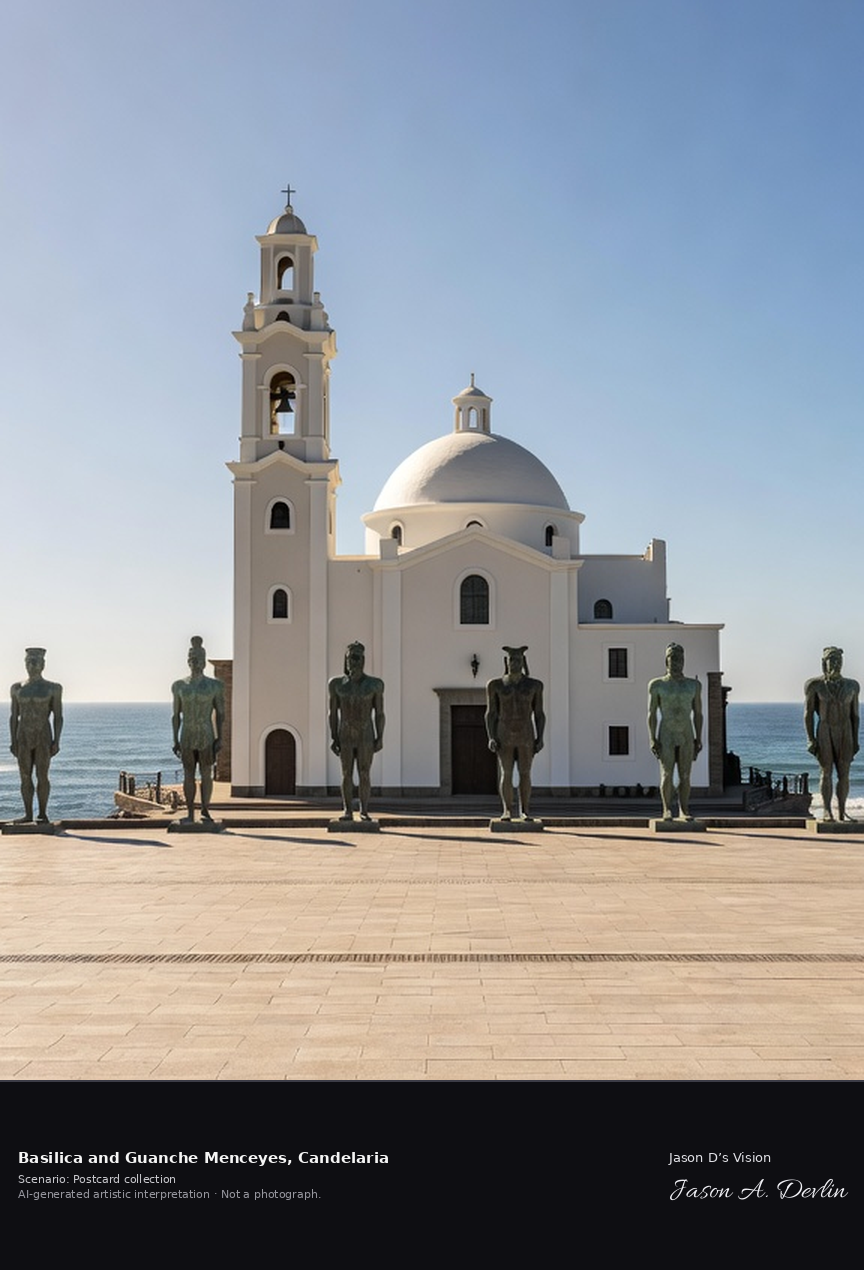
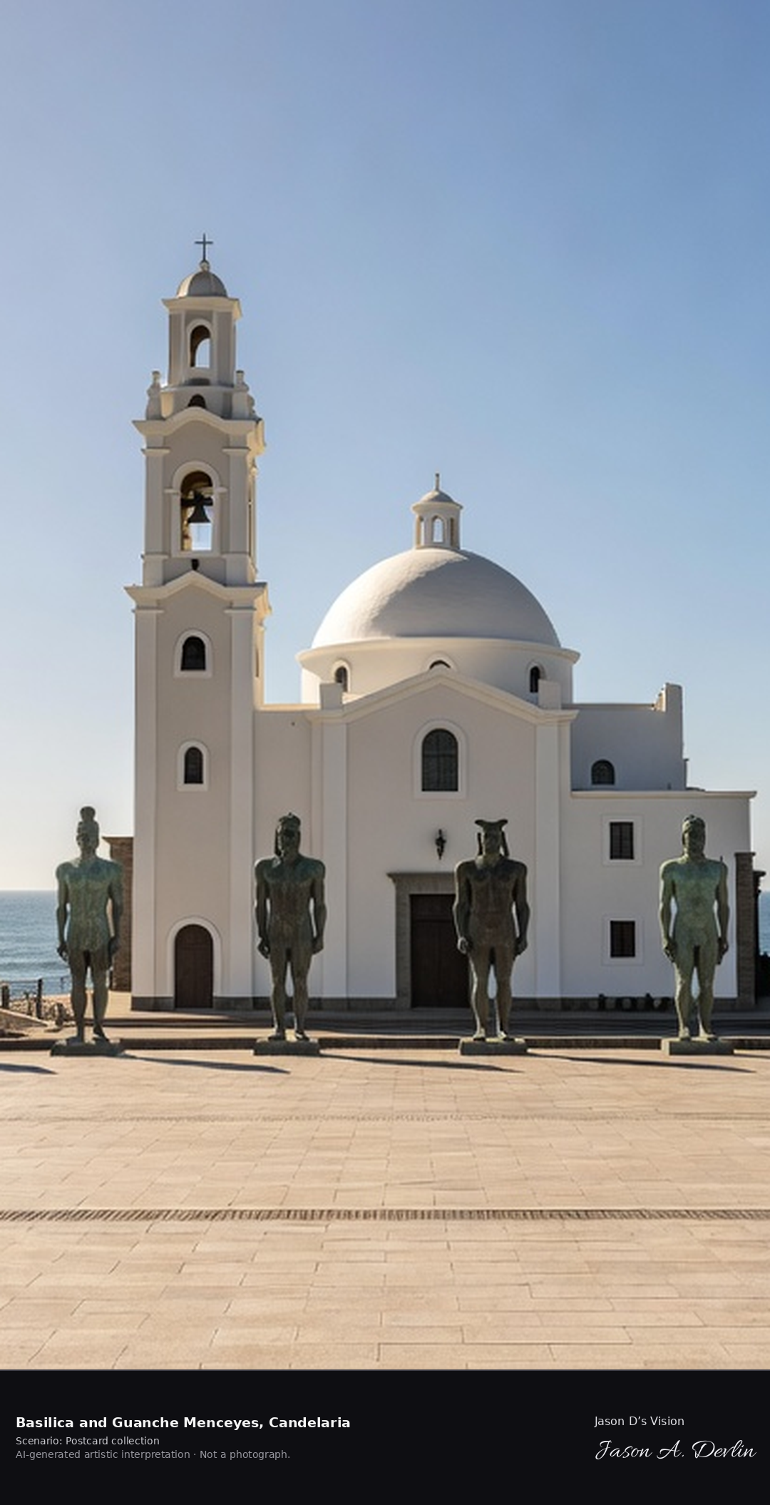
The Basilica of Candelaria, completed in 1959, houses the image of the Virgin of Candelaria, patroness of the Canary Islands, and is the archipelago's great pilgrimage church. On its seafront plaza stand nine bronze statues by José Abad of the Guanche menceyes, the kings who ruled Tenerife's nine kingdoms before the Castilian conquest of 1496. A fresh retrieval for this spot on 7 November 2026 recorded 23.4 °C, overcast (WMO code 3), cloud cover 100%, wind 6.5 km/h.
Postcard collection
Daylight
Viewpoint, conditions & editions
Across the Plaza de la Patrona de Canarias: the Basilica of Candelaria centred with its tall square bell tower and white dome lantern, the row of nine large bronze Guanche mencey statues along the seaward side of the plaza, the Atlantic behind them. Reference-reported camera 28.351300 N, 16.369420 W; exact generated camera correspondence is unverified.
23.4°C, weather code 3 (overcast), cloud 100%, wind 6.5 km/h. Per-scene Open-Meteo retrieval 2026-11-07T19:25:27.111853+00:00 for the scene's own coordinates.
Downloads carry the finished label bar: caption, scenario and AI disclosure on the left, “Jason D’s Vision” with the script signature on the right.
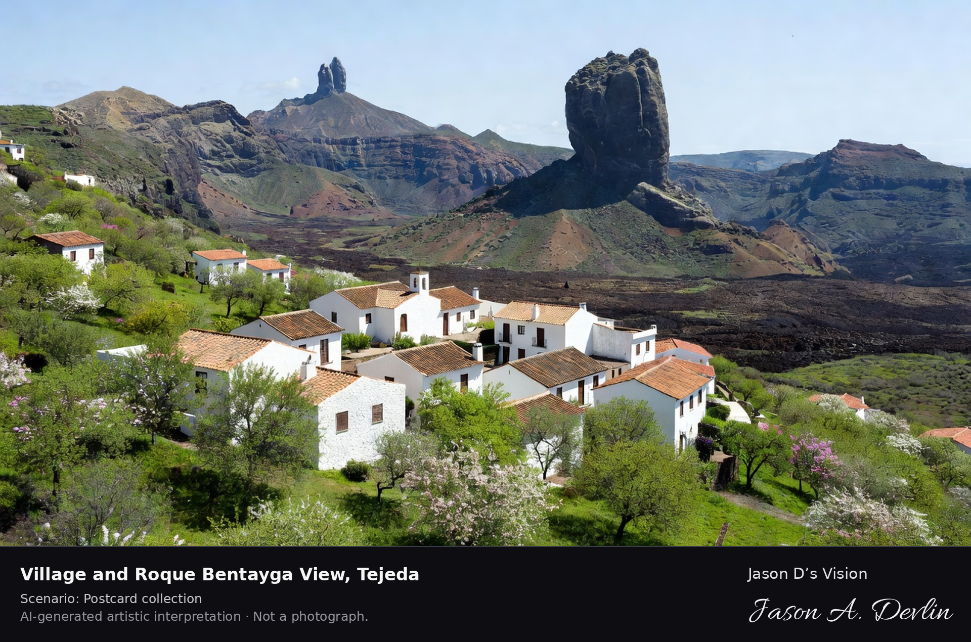
Village & Roque Bentayga view · AI-generated artistic interpretation
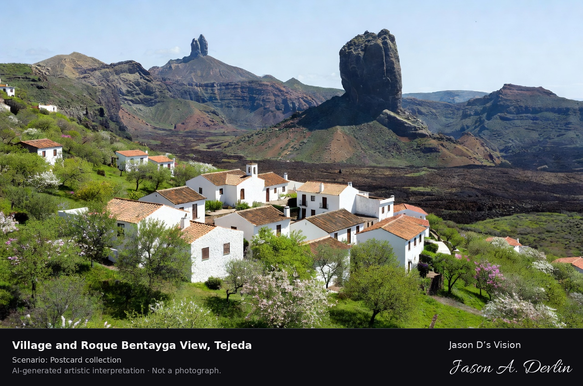
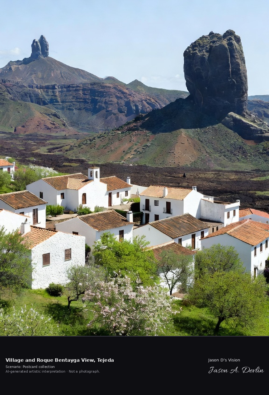
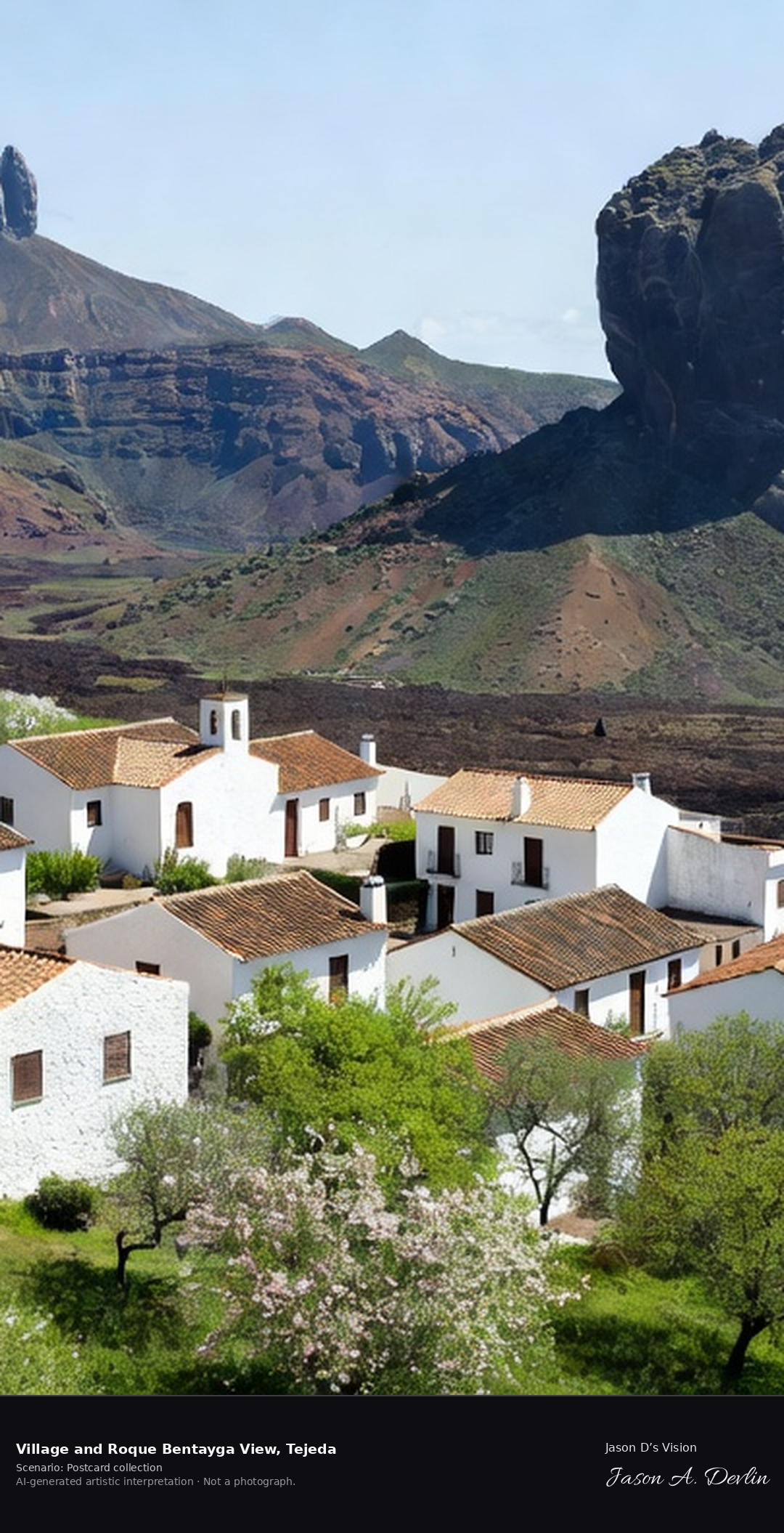
Tejeda is a whitewashed mountain village at about 1,000 metres in Gran Canaria's great central caldera, named among Spain's most beautiful villages. It faces the Roque Bentayga, a sacred monolith of the island's aboriginal people, with the Roque Nublo beyond, and is famous for its almond trees and almond confectionery. A fresh retrieval for this spot on 7 November 2026 recorded 19.3 °C, overcast (WMO code 3), cloud cover 100%, wind 11.8 km/h.
Postcard collection
Daylight
Viewpoint, conditions & editions
From the village edge: whitewashed Tejeda houses with the parish church in the foreground, almond trees on the slopes, the great sacred monolith of Roque Bentayga centred across the caldera in the distance, Roque Nublo beyond. Reference-reported camera 27.996810 N, 15.614200 W; exact generated camera correspondence is unverified.
19.3°C, weather code 3 (overcast), cloud 100%, wind 11.8 km/h. Per-scene Open-Meteo retrieval 2026-11-07T19:25:40.697341+00:00 for the scene's own coordinates.
Downloads carry the finished label bar: caption, scenario and AI disclosure on the left, “Jason D’s Vision” with the script signature on the right.
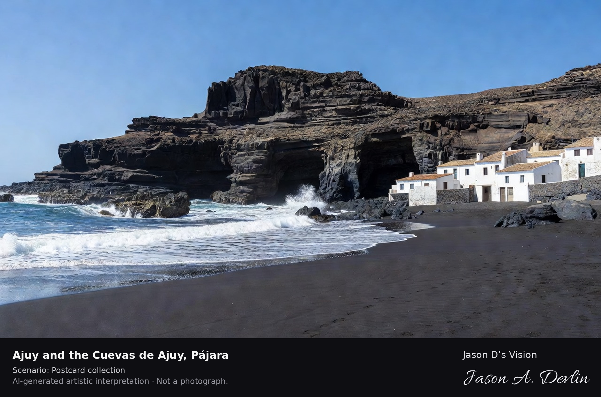
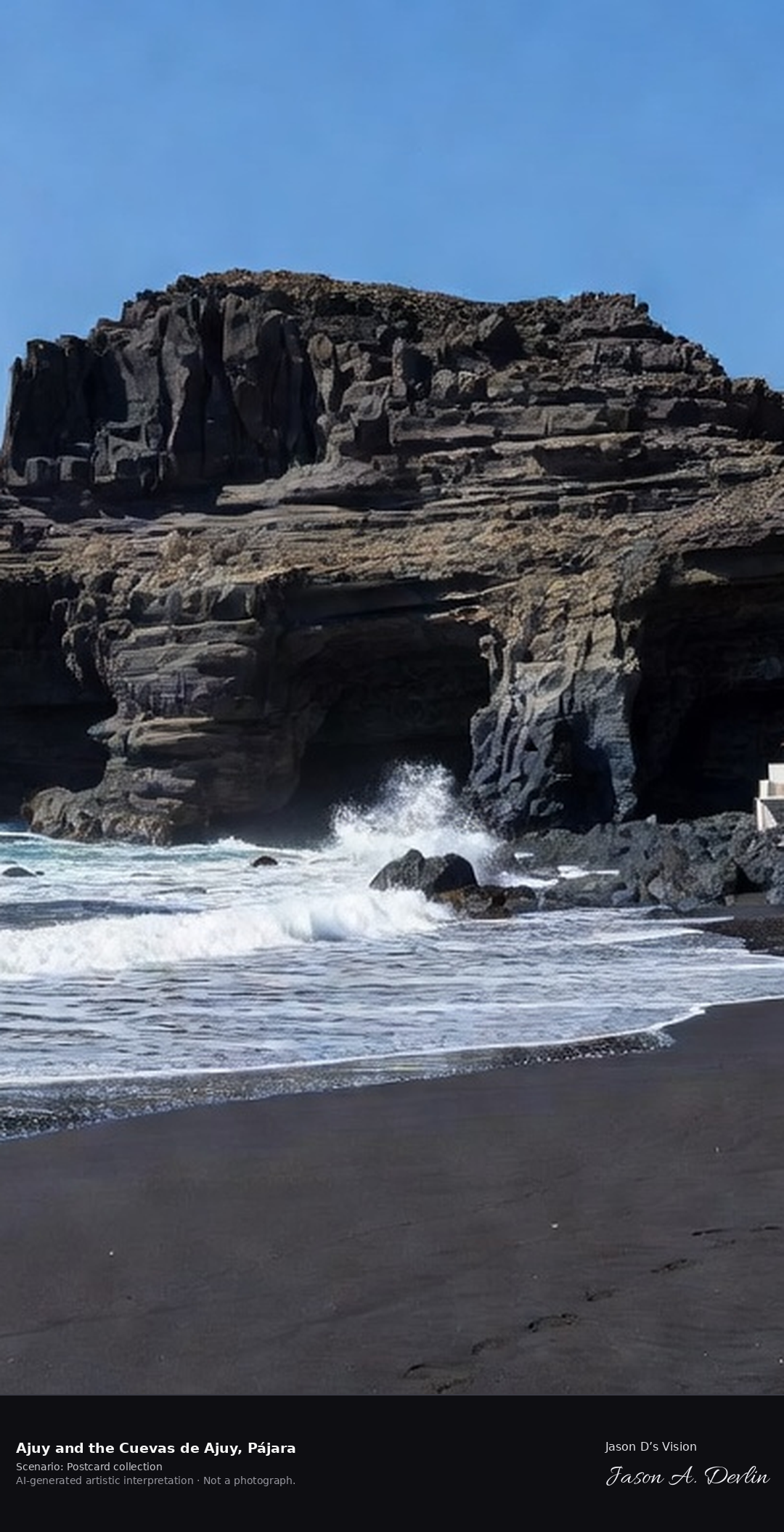
Ajuy & the Cuevas de Ajuy · AI-generated artistic interpretation
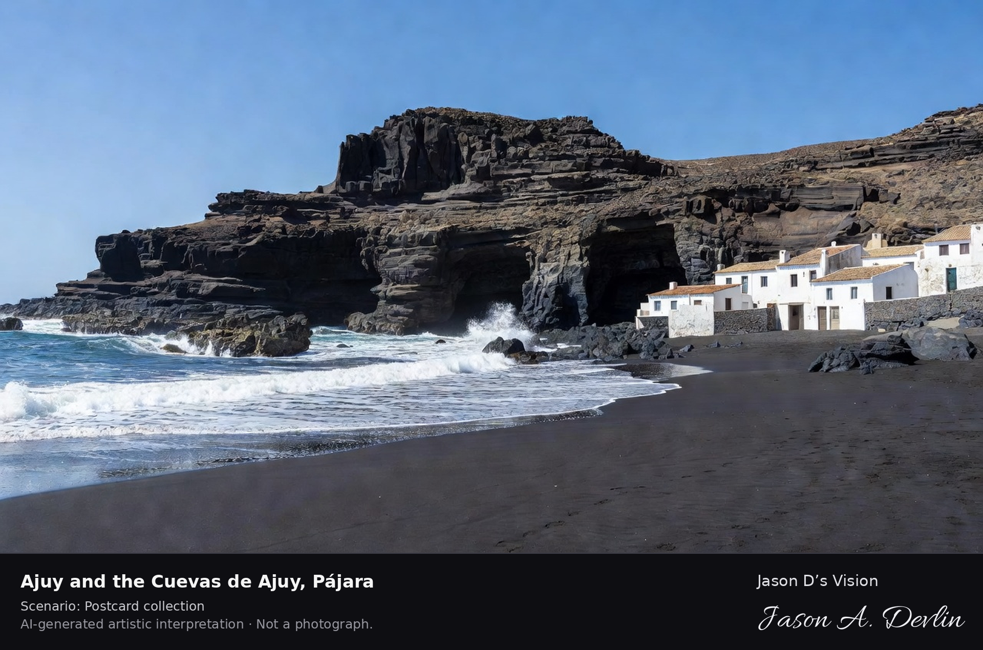
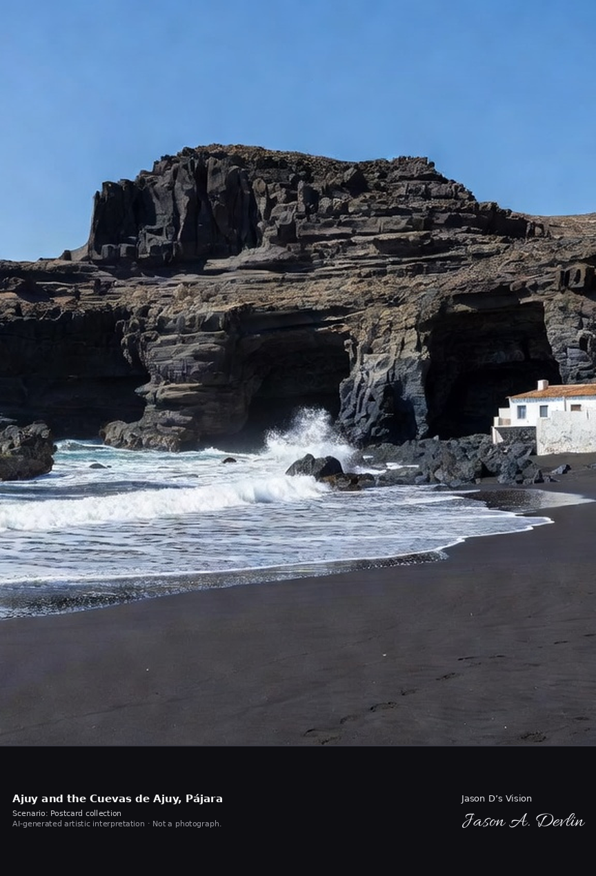
Ajuy is a small fishing village on Fuerteventura's west coast, in the municipality of Pájara, with a black-sand beach beside the Cuevas de Ajuy. The caves are cut into rocks of the island's basal complex, among the oldest exposed rocks in the Canaries, with oceanic sediments over 100 million years old; the site is a declared Natural Monument. A fresh retrieval for this spot on 7 November 2026 recorded 26.0 °C, partly cloudy (WMO code 2), cloud cover 95%, wind 13.9 km/h.
Postcard collection
Daylight
Viewpoint, conditions & editions
Along the west-coast cove: black-sand beach and small white fishing village houses on one side, dark layered cliffs centred with the great sea-cave mouths of the Cuevas de Ajuy, Atlantic surf breaking at their base. Reference-reported camera 28.399100 N, 14.155100 W; exact generated camera correspondence is unverified.
26°C, weather code 2 (partly cloudy), cloud 95%, wind 13.9 km/h. Per-scene Open-Meteo retrieval 2026-11-07T19:25:54.464080+00:00 for the scene's own coordinates.
Downloads carry the finished label bar: caption, scenario and AI disclosure on the left, “Jason D’s Vision” with the script signature on the right.
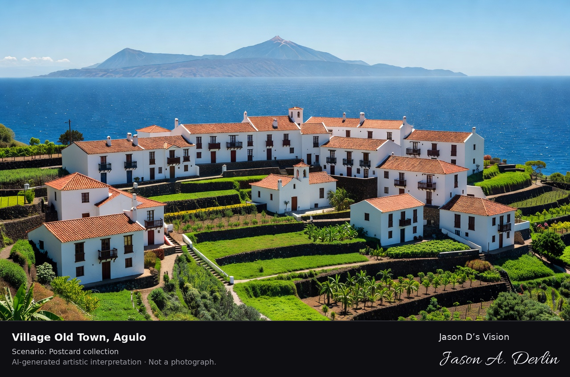
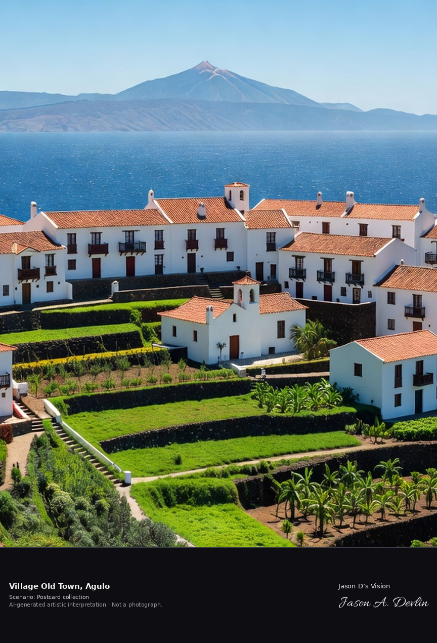
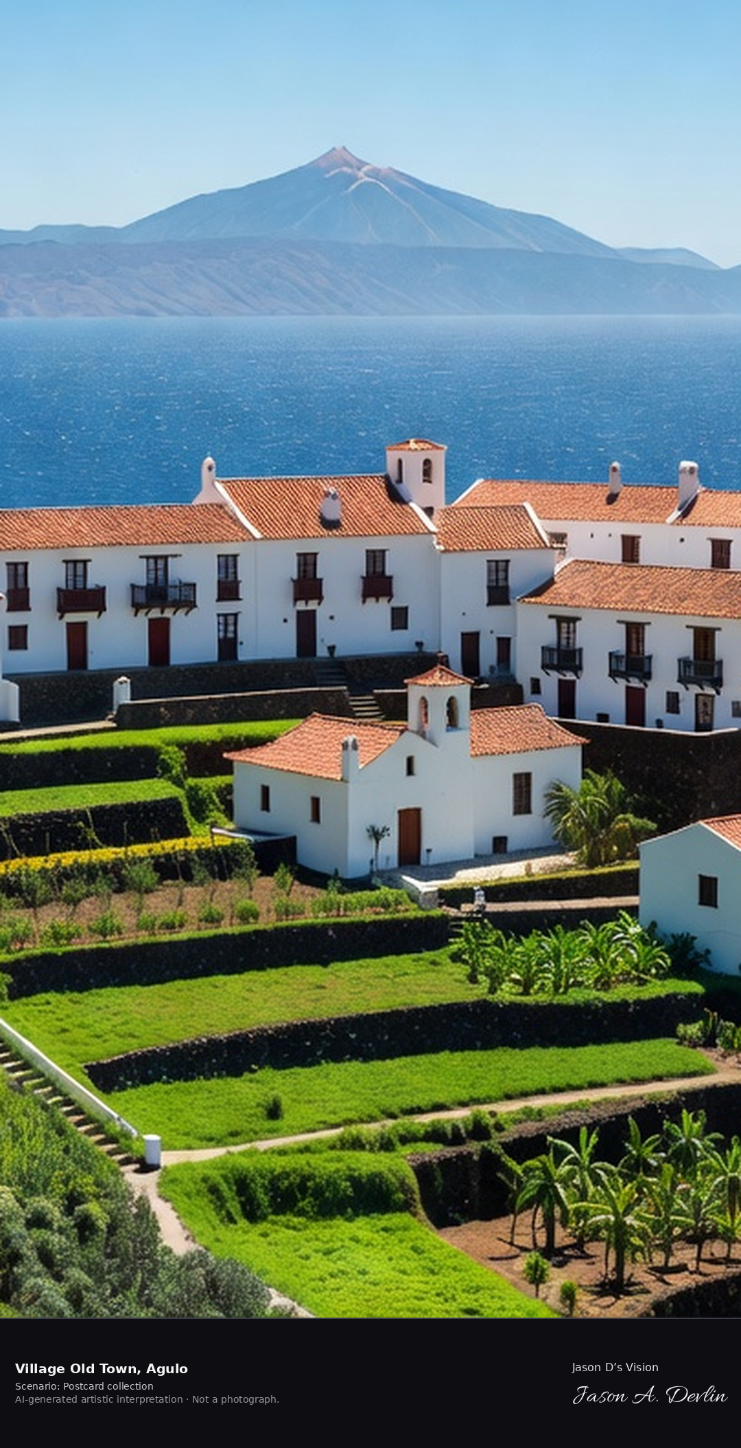
Village old town · AI-generated artistic interpretation
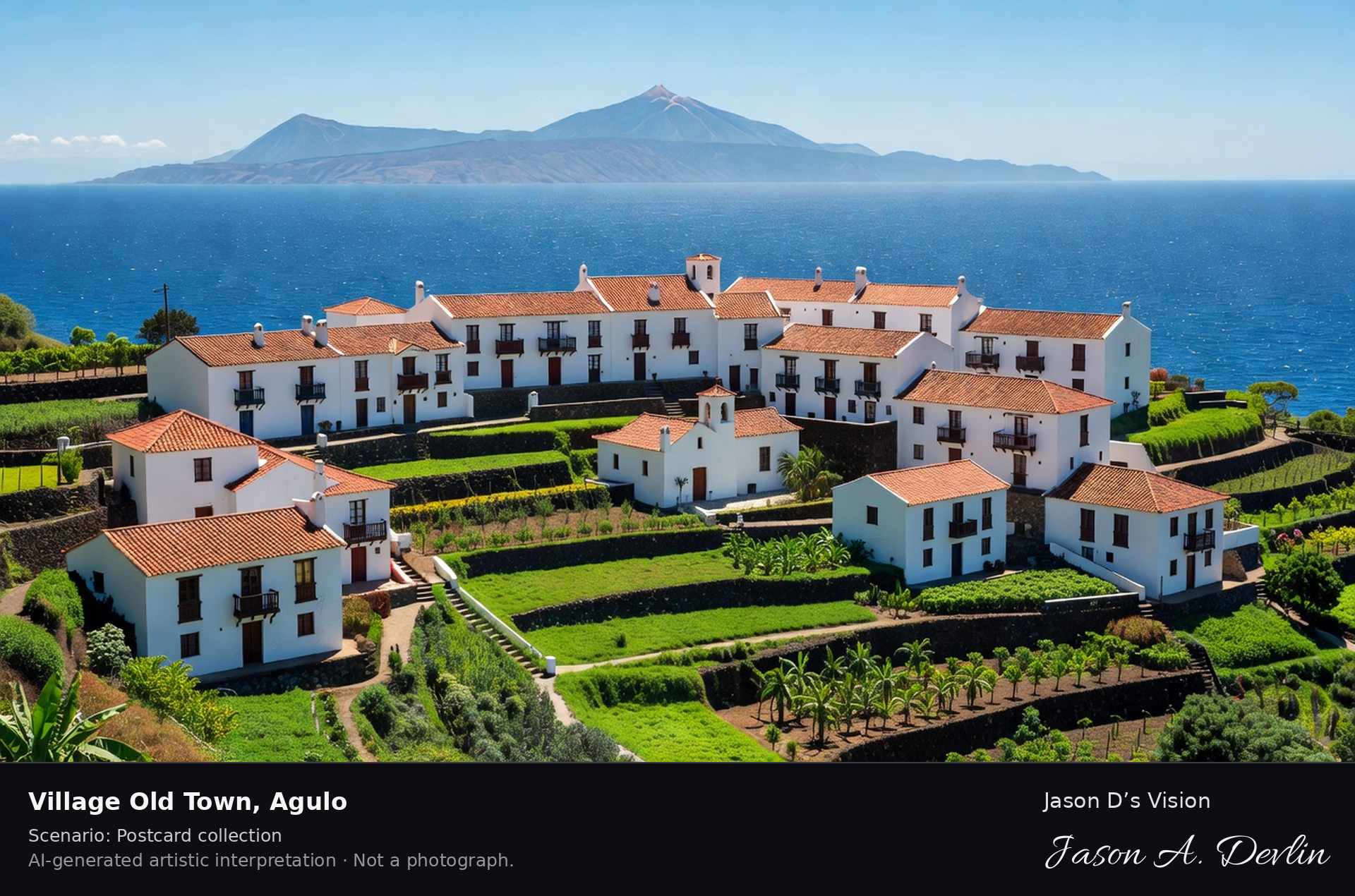
Agulo is a village of traditional Canarian houses tiered in a natural amphitheatre of green terraces above the Atlantic on La Gomera's north coast, facing Tenerife and Mount Teide. Nicknamed the bonbon of La Gomera, it is considered one of the island's best-preserved and prettiest villages. A fresh retrieval for this spot on 7 November 2026 recorded 23.2 °C, overcast (WMO code 3), cloud cover 100%, wind 18.4 km/h.
Postcard collection
Daylight
Viewpoint, conditions & editions
From across the terraces: Agulo's traditional Canarian houses with tiled roofs and wooden balconies tiered in an amphitheatre of green terraces centred, the church of San Marcos below, the Atlantic beyond with Tenerife and Mount Teide on the horizon. Reference-reported camera 28.188930 N, 17.194090 W; exact generated camera correspondence is unverified.
23.2°C, weather code 3 (overcast), cloud 100%, wind 18.4 km/h. Per-scene Open-Meteo retrieval 2026-11-07T19:26:07.437093+00:00 for the scene's own coordinates.
Downloads carry the finished label bar: caption, scenario and AI disclosure on the left, “Jason D’s Vision” with the script signature on the right.
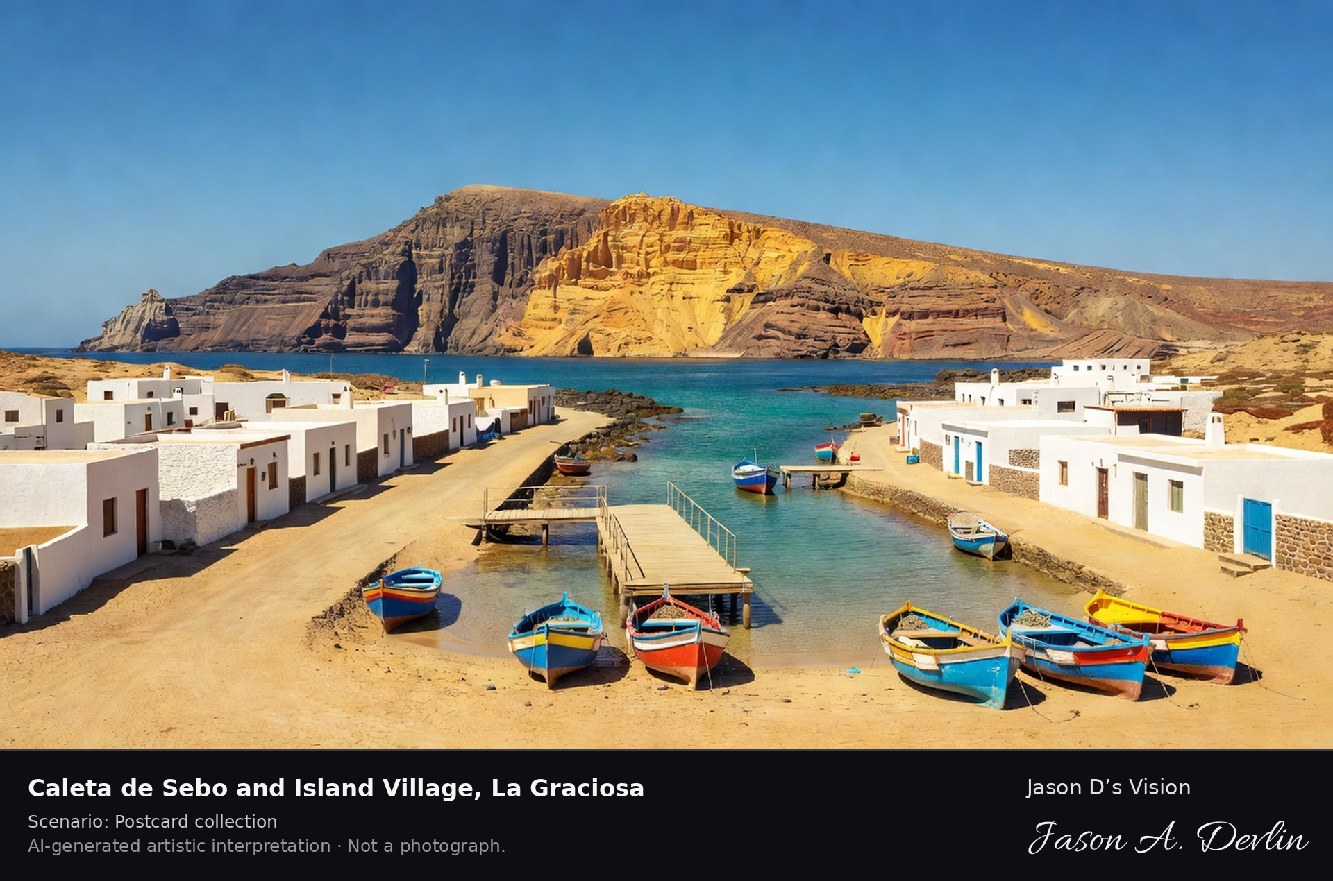
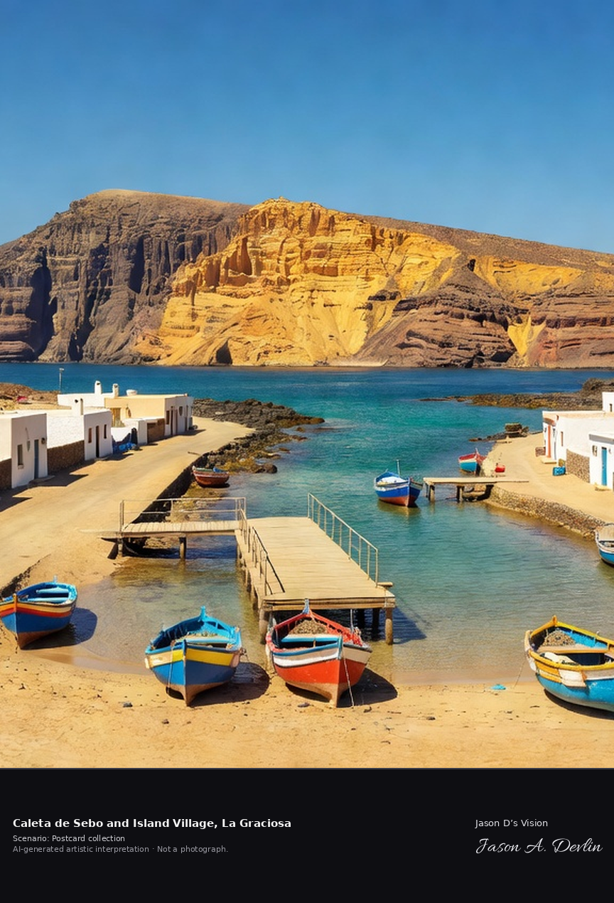
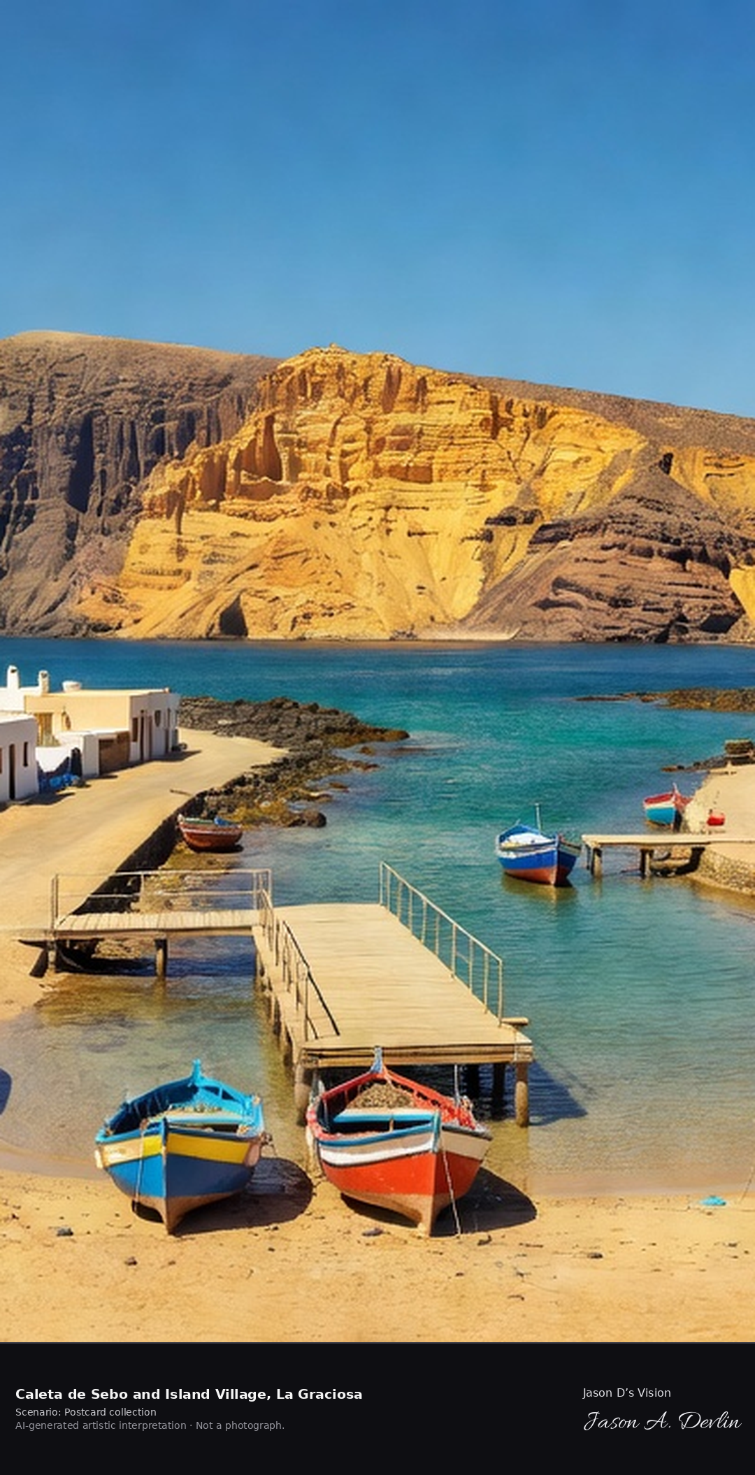
Caleta de Sebo & island village · AI-generated artistic interpretation
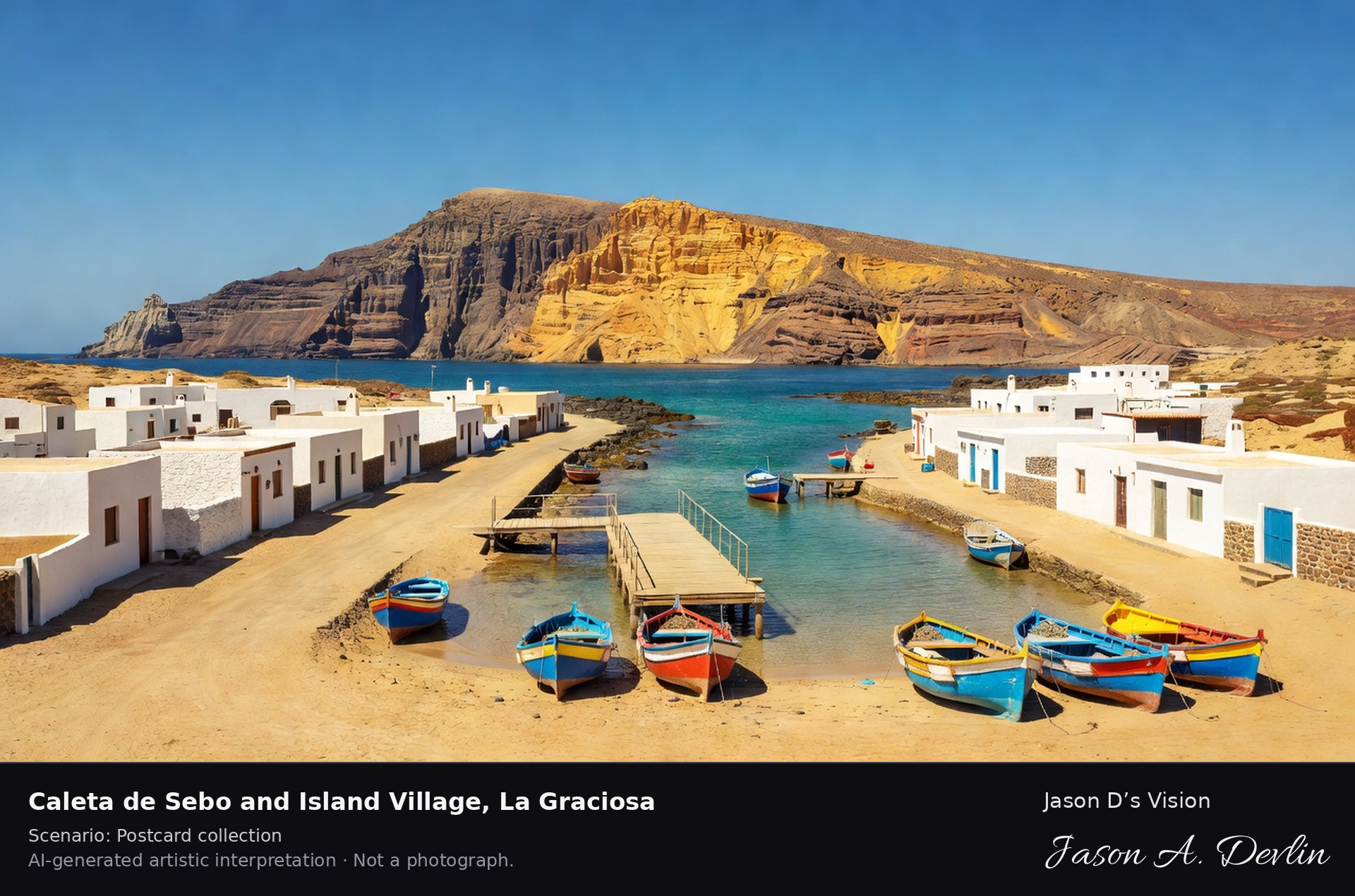
Caleta de Sebo is the only permanently inhabited village on La Graciosa, recognised in 2018 as the eighth Canary island. A car-free settlement of whitewashed houses on sandy streets, it is the island's harbour, reached by ferry from Órzola across the El Río channel beneath Lanzarote's Famara cliffs. A fresh retrieval for this spot on 7 November 2026 recorded 24.0 °C, overcast (WMO code 3), cloud cover 100%, wind 8.7 km/h.
Postcard collection
Daylight
Viewpoint, conditions & editions
Across the harbour: low whitewashed houses of Caleta de Sebo along sandy streets centred on the shore, fishing boats and the ferry pier in the harbour foreground, the narrow El Río channel and the towering Famara cliffs of Lanzarote filling the background. Reference-reported camera 29.230320 N, 13.502640 W; exact generated camera correspondence is unverified.
24°C, weather code 3 (overcast), cloud 100%, wind 8.7 km/h. Per-scene Open-Meteo retrieval 2026-11-07T19:26:20.108099+00:00 for the scene's own coordinates.
Downloads carry the finished label bar: caption, scenario and AI disclosure on the left, “Jason D’s Vision” with the script signature on the right.
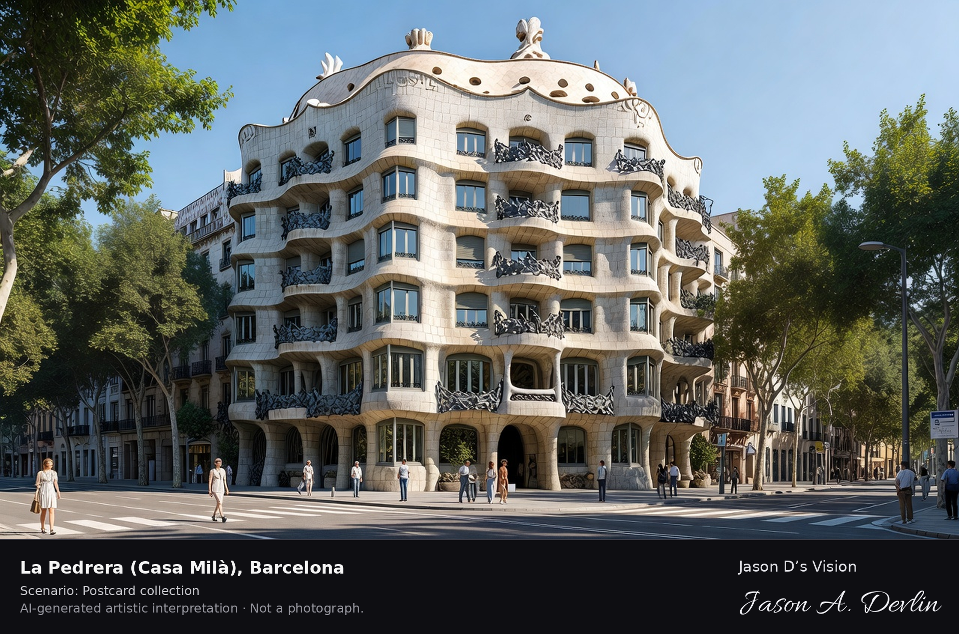
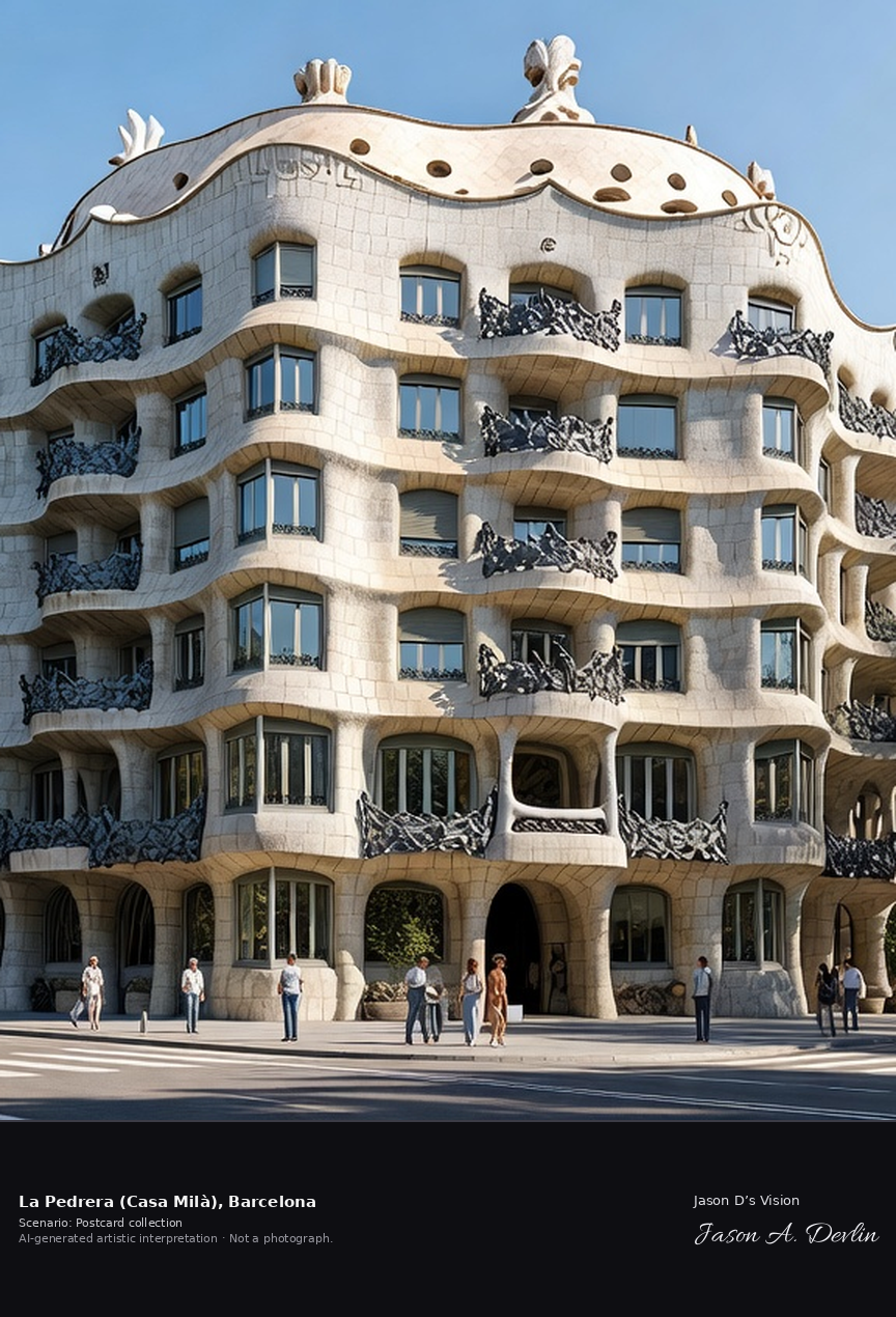
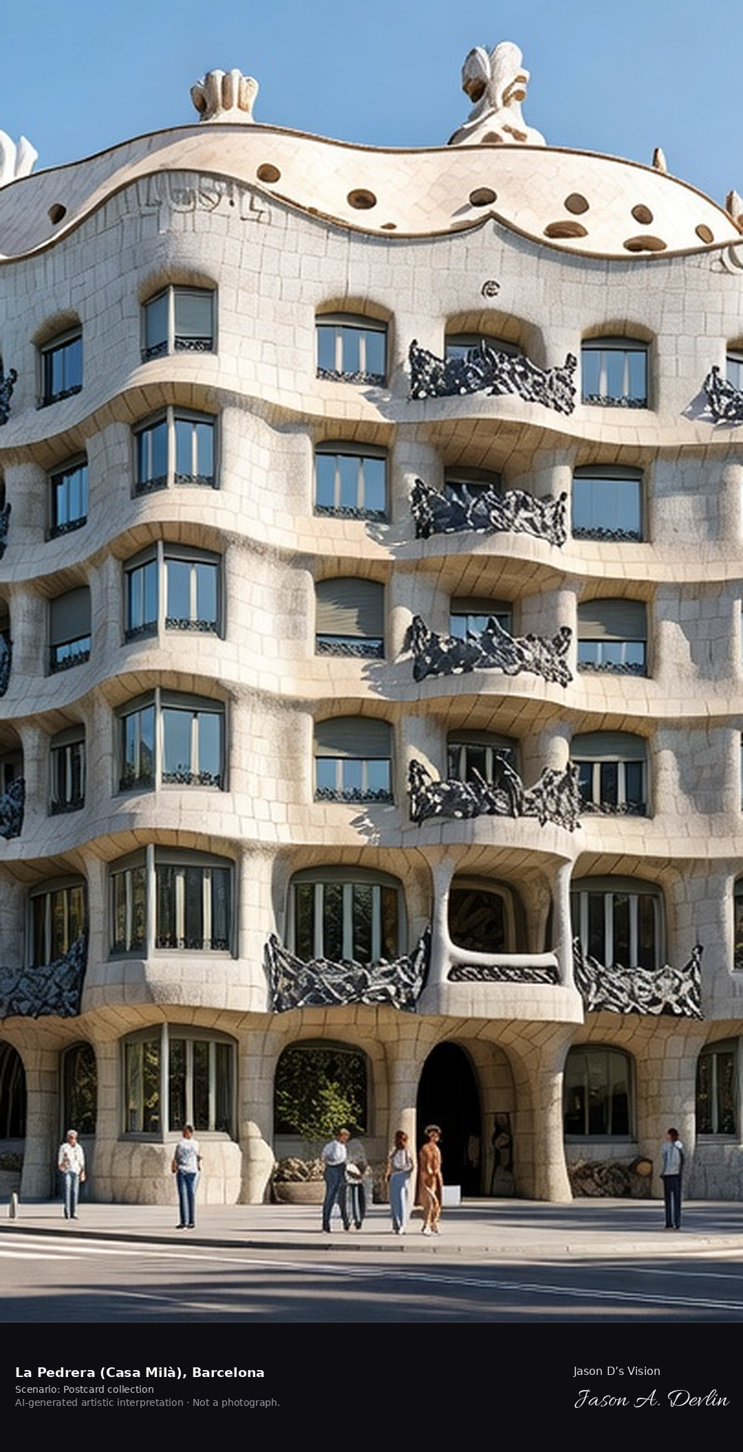
La Pedrera (Casa Milà) · AI-generated artistic interpretation
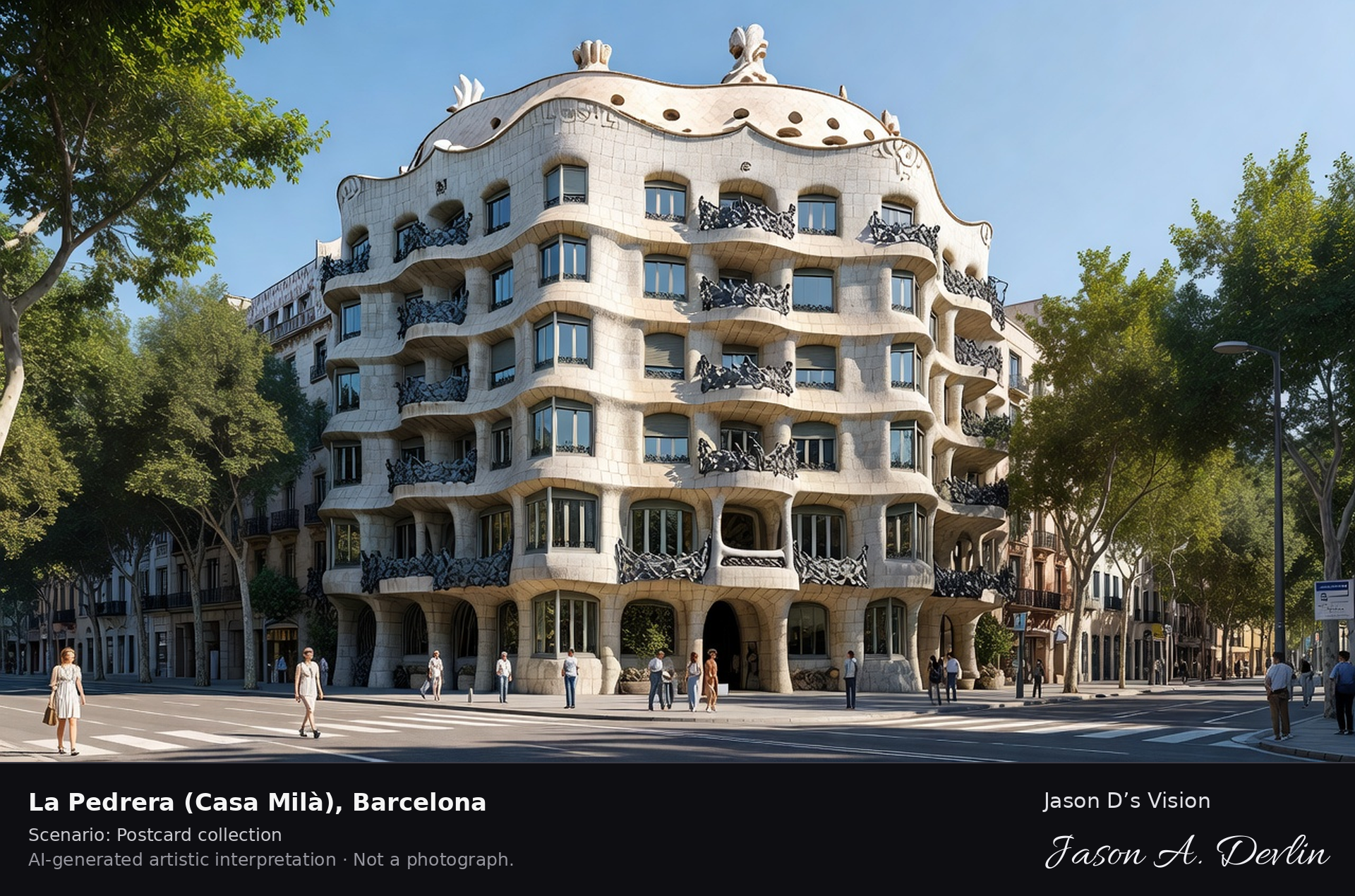
La Pedrera, or Casa Mila, built between 1906 and 1912 to designs by Antoni Gaudi, is a wave of grey stone on Passeig de Gracia with wrought-iron balconies and a rooftop of sculpted chimneys and ventilation towers. It was Gaudi's last private residence commission and is a UNESCO World Heritage Site. A fresh retrieval for this spot on 7 November 2026 recorded 14.0 °C, fog (WMO code 45), cloud cover 45%, wind 4.2 km/h.
Postcard collection
Daylight
Viewpoint, conditions & editions
From Passeig de Gracia corner: undulating grey stone wave facade of Casa Mila centred, wrought-iron balconies like seaweed, no straight lines, rooftop chimneys just visible above, Eixample street and trees below. Reference-reported camera 41.395300 N, 2.162040 E; exact generated camera correspondence is unverified.
14°C, weather code 45 (fog), cloud 45%, wind 4.2 km/h. Per-scene Open-Meteo retrieval 2026-11-07T19:24:41.874360+00:00 for the scene's own coordinates.
Downloads carry the finished label bar: caption, scenario and AI disclosure on the left, “Jason D’s Vision” with the script signature on the right.
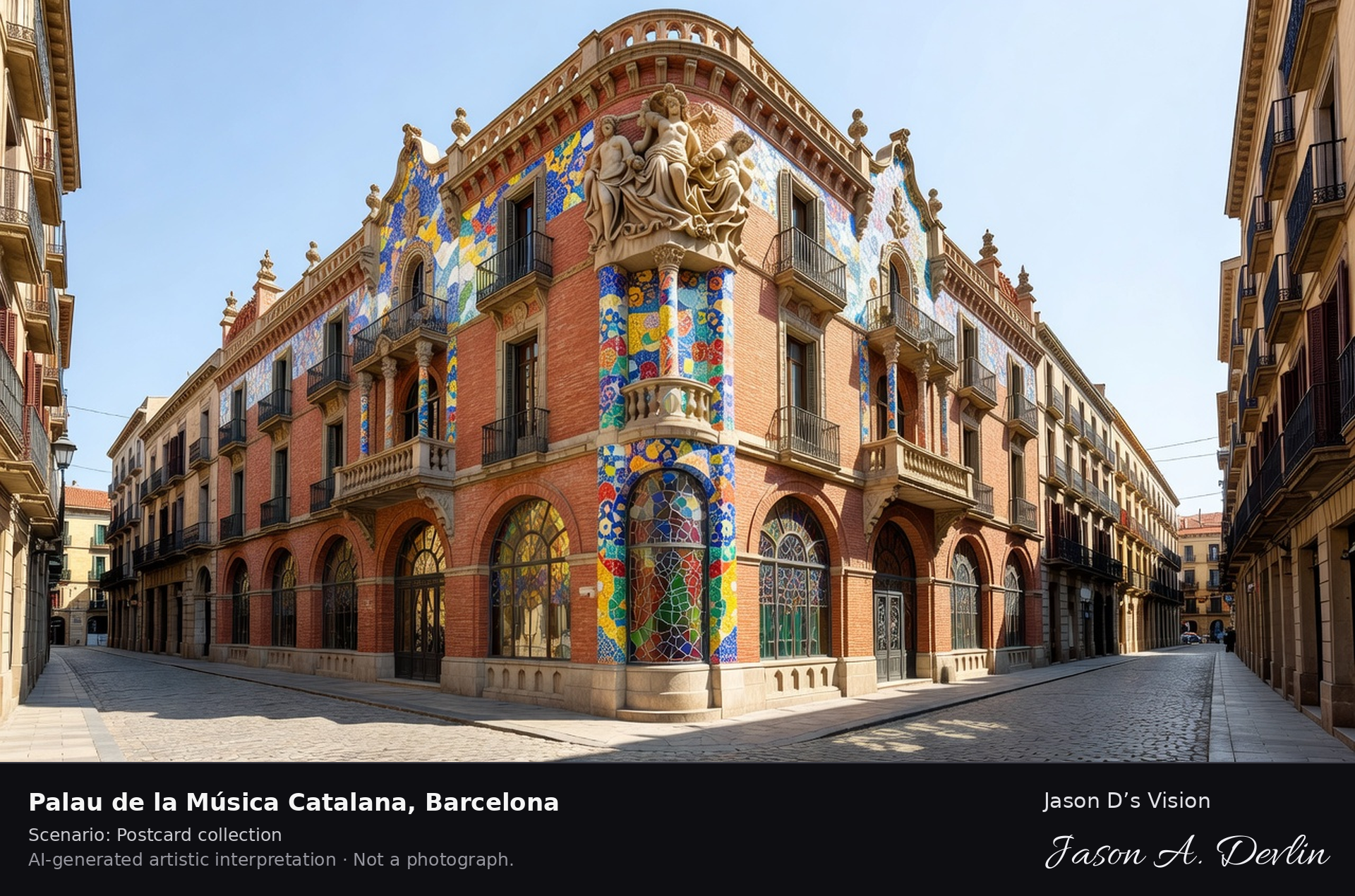
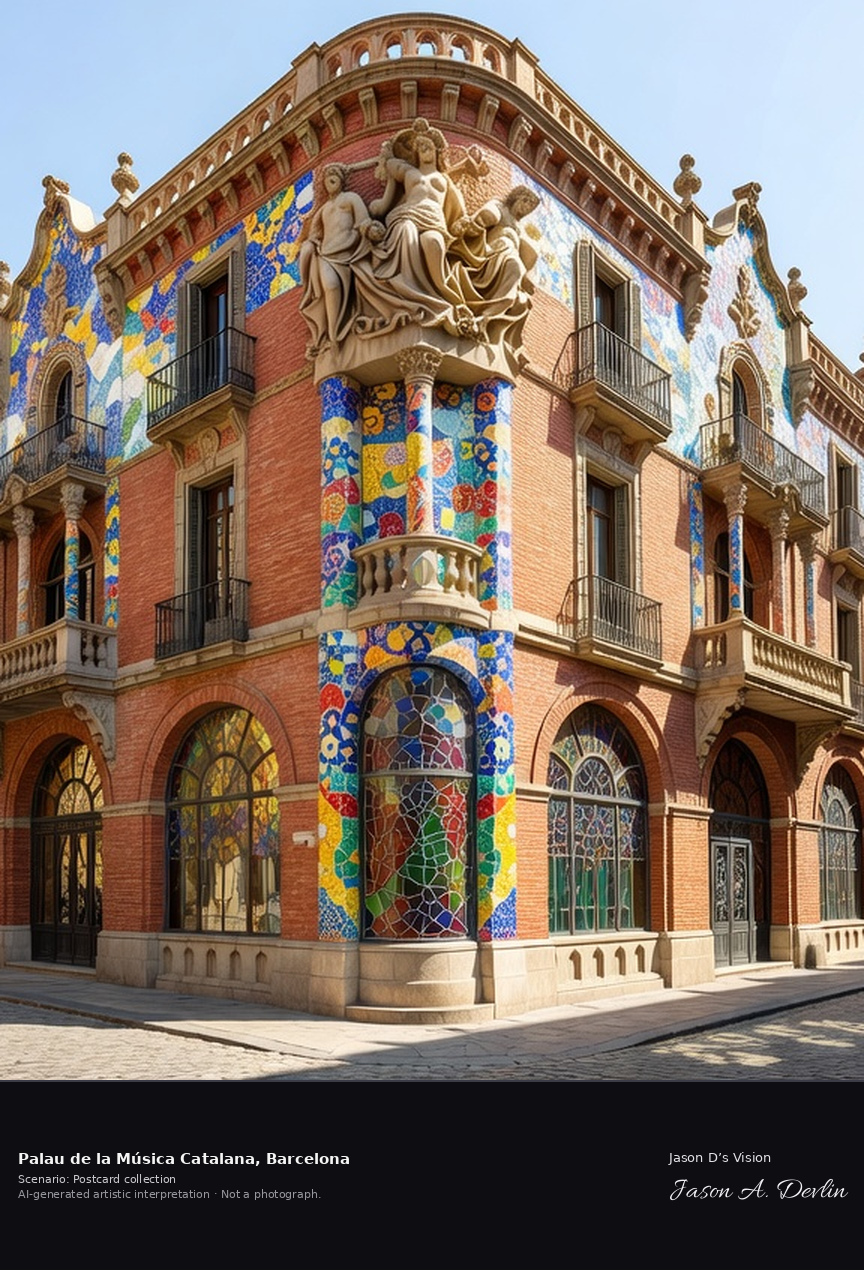
Palau de la Música Catalana · AI-generated artistic interpretation
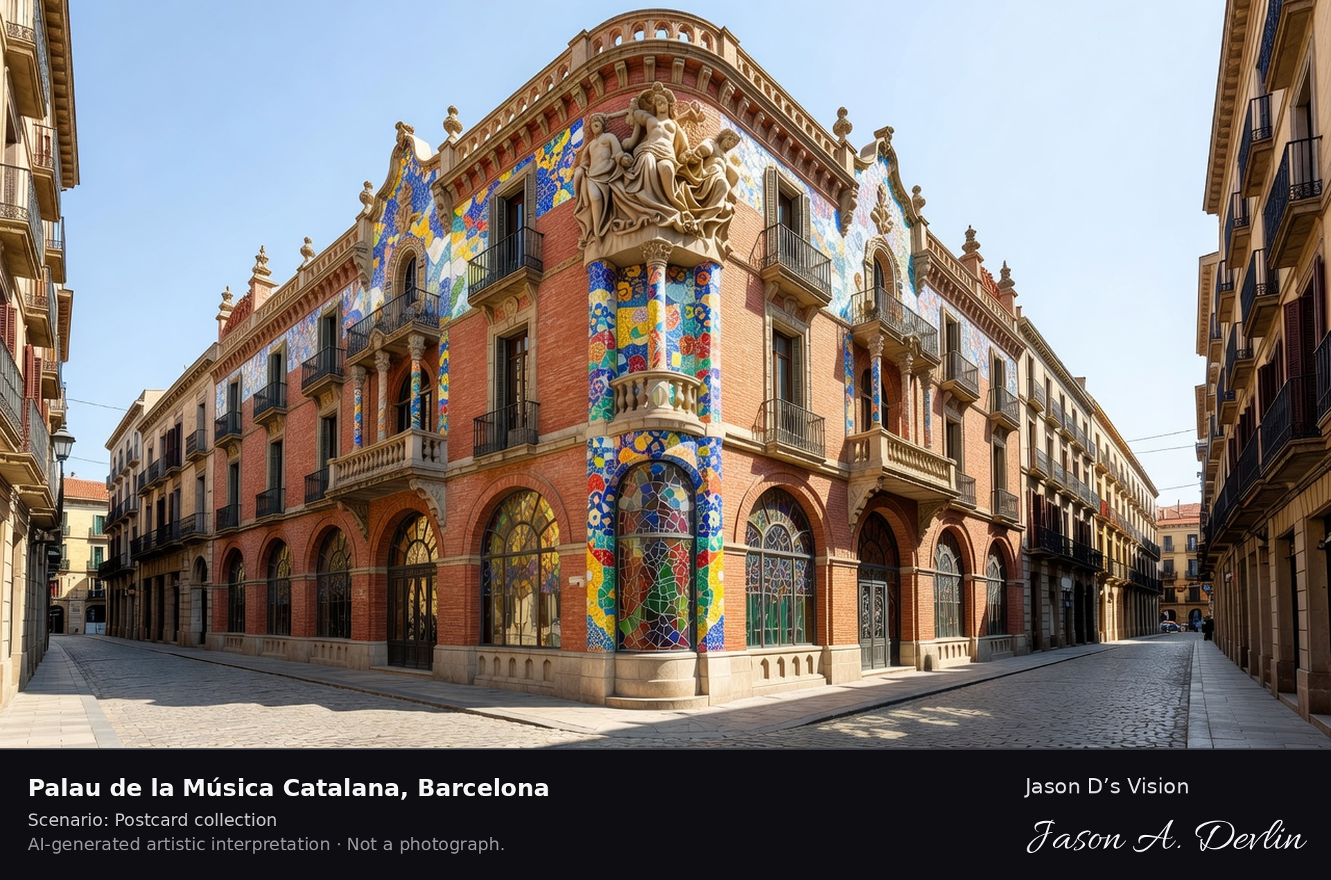
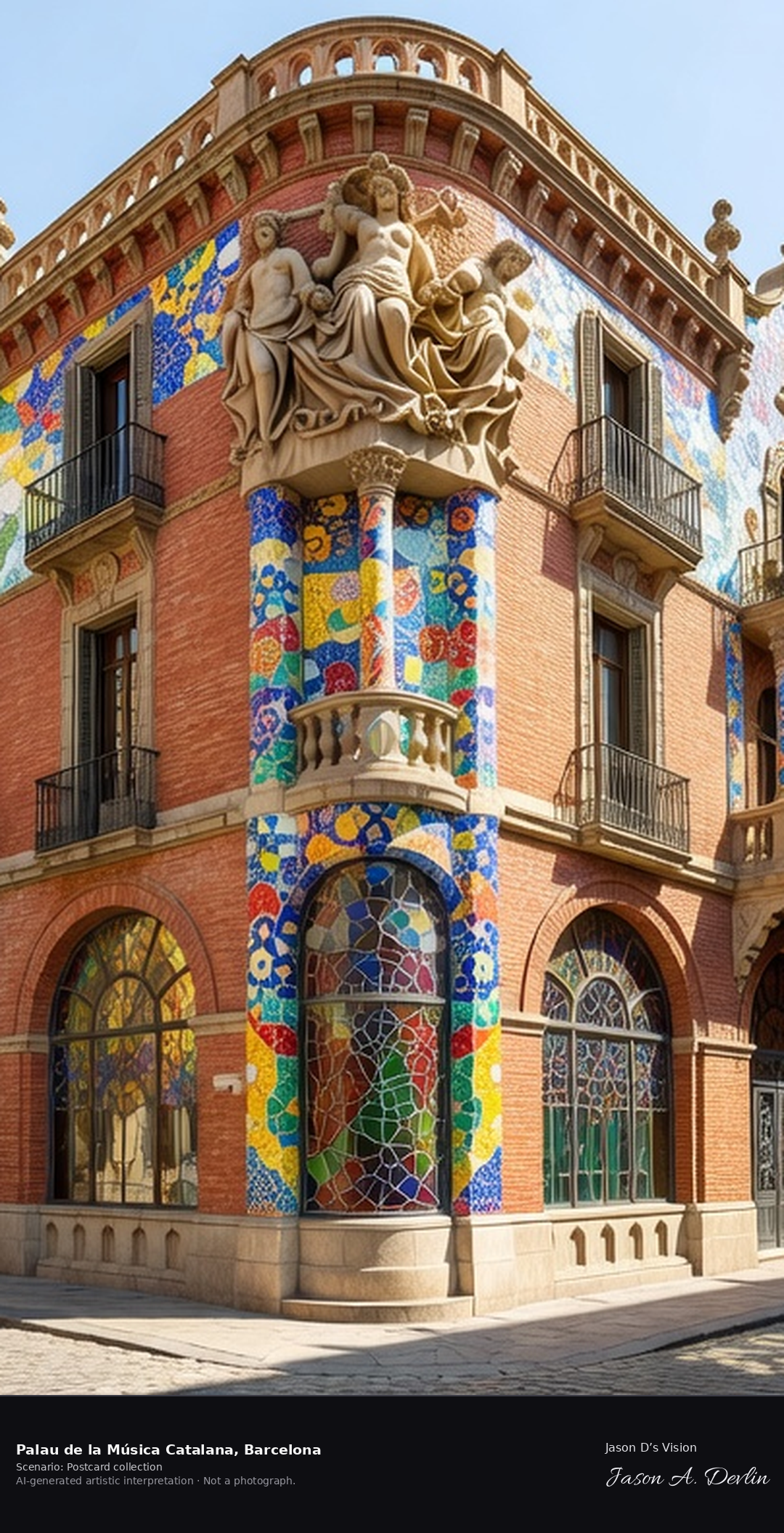
The Palau de la Musica Catalana, built between 1905 and 1908 to designs by Lluis Domenech i Montaner, is Barcelona's Modernista concert hall, its brick facade covered in mosaic, tile and sculpture. Inside, a great stained-glass skylight crowns one of Europe's most decorated auditoriums; the hall is a UNESCO World Heritage Site. A fresh retrieval for this spot on 7 November 2026 recorded 16.5 °C, partly cloudy (WMO code 2), cloud cover 54%, wind 4.1 km/h.
Postcard collection
Daylight
Viewpoint, conditions & editions
Tight street view in Sant Pere: ornate modernista corner facade centred, red brick with colourful mosaic pillars and tiled roses, sculptural group at the corner, large stained-glass windows, narrow old streets around. Reference-reported camera 41.387600 N, 2.175300 E; exact generated camera correspondence is unverified.
16.5°C, weather code 2 (partly cloudy), cloud 54%, wind 4.1 km/h. Per-scene Open-Meteo retrieval 2026-11-07T19:24:54.916099+00:00 for the scene's own coordinates.
Downloads carry the finished label bar: caption, scenario and AI disclosure on the left, “Jason D’s Vision” with the script signature on the right.
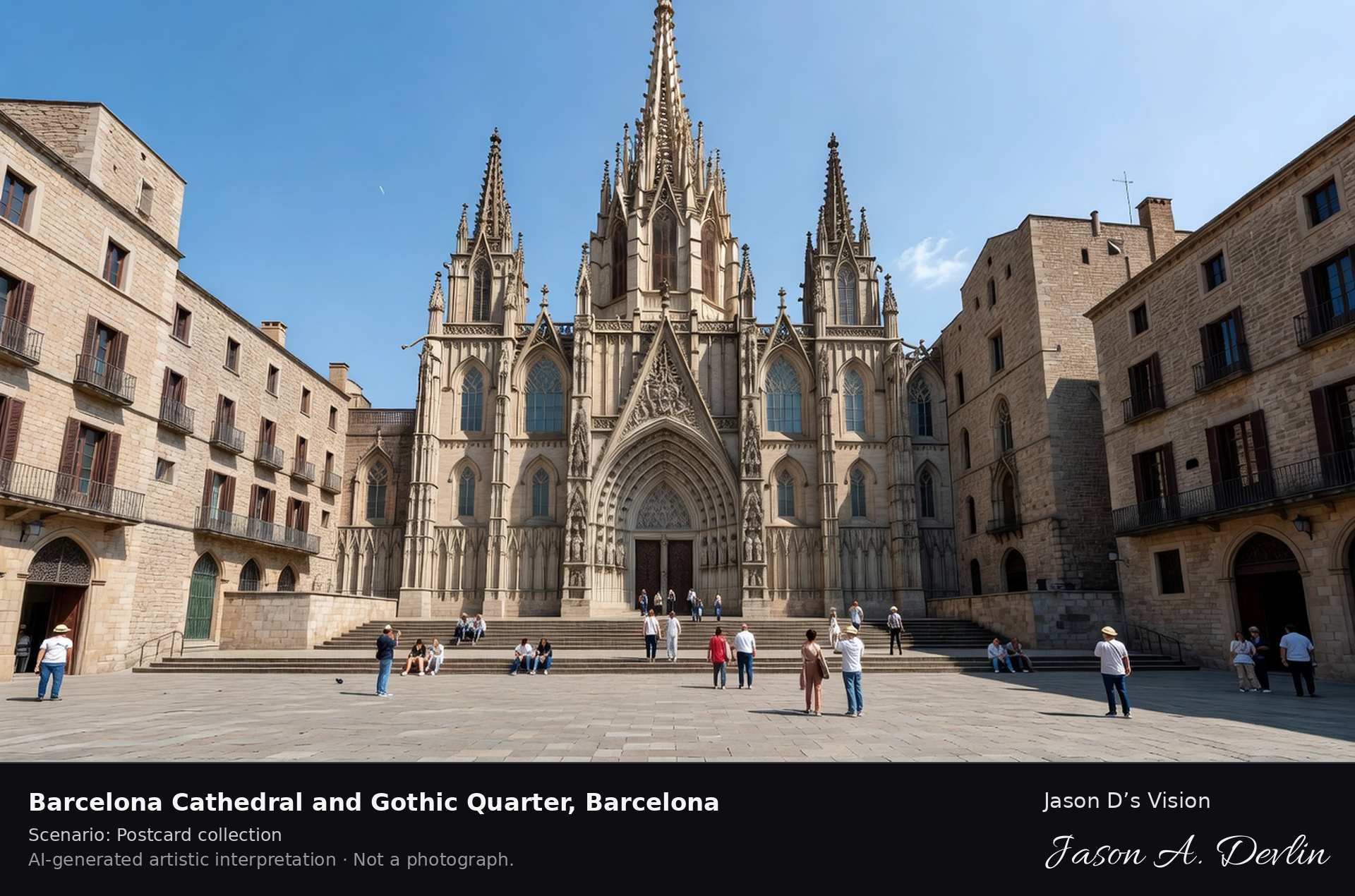
Barcelona Cathedral & Gothic Quarter · AI-generated artistic interpretation
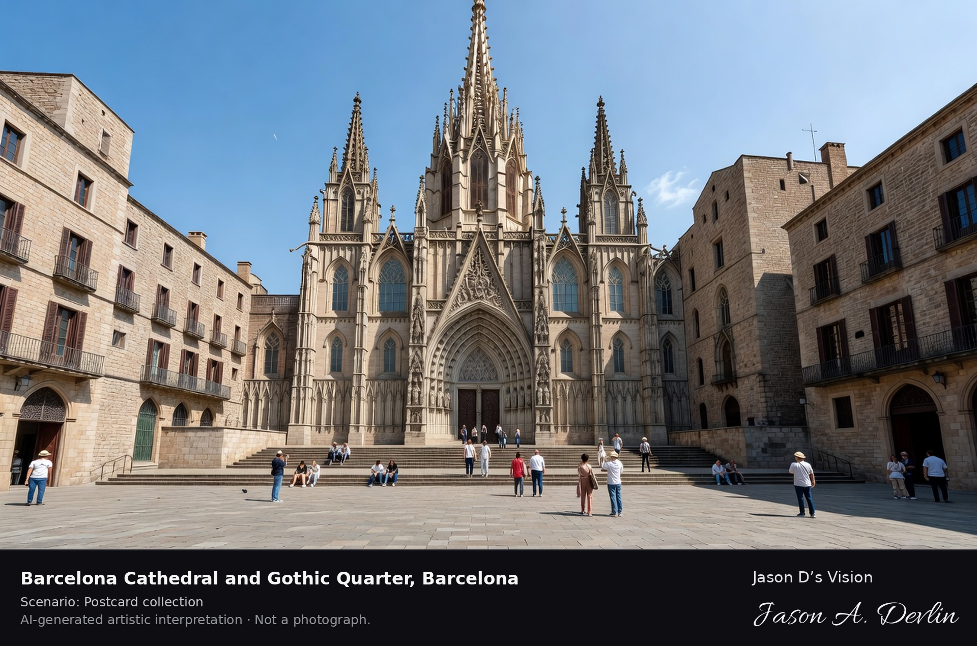
Barcelona Cathedral, dedicated to the Holy Cross and Saint Eulalia, was built mainly between the thirteenth and fifteenth centuries in the heart of the Gothic Quarter, its neo-Gothic west facade and spire added in the late nineteenth century. Its cloister keeps a gaggle of thirteen white geese for Saint Eulalia, martyred at thirteen. A fresh retrieval for this spot on 7 November 2026 recorded 16.5 °C, partly cloudy (WMO code 2), cloud cover 54%, wind 4.1 km/h.
Postcard collection
Daylight
Viewpoint, conditions & editions
From the Pla de la Seu: Gothic cathedral west facade centred with its tall spire and pinnacles, broad steps and square in front, medieval Gothic Quarter lanes and stone buildings around. Reference-reported camera 41.384800 N, 2.176000 E; exact generated camera correspondence is unverified.
16.5°C, weather code 2 (partly cloudy), cloud 54%, wind 4.1 km/h. Per-scene Open-Meteo retrieval 2026-11-07T19:25:08.032696+00:00 for the scene's own coordinates.
Downloads carry the finished label bar: caption, scenario and AI disclosure on the left, “Jason D’s Vision” with the script signature on the right.
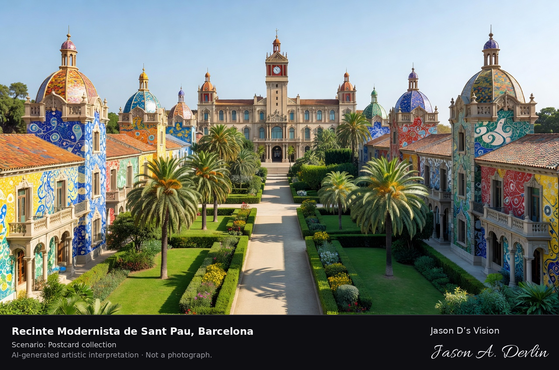
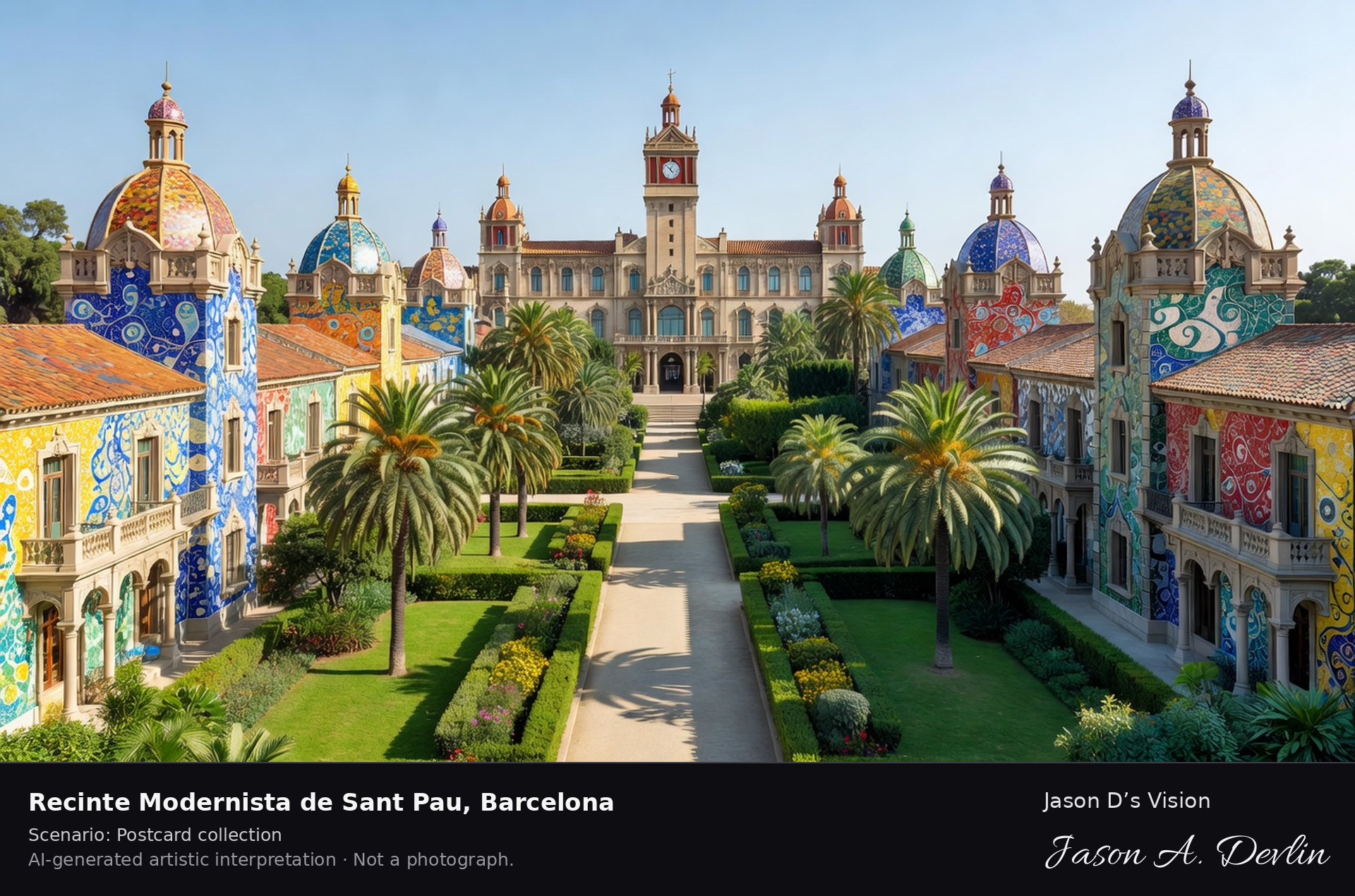
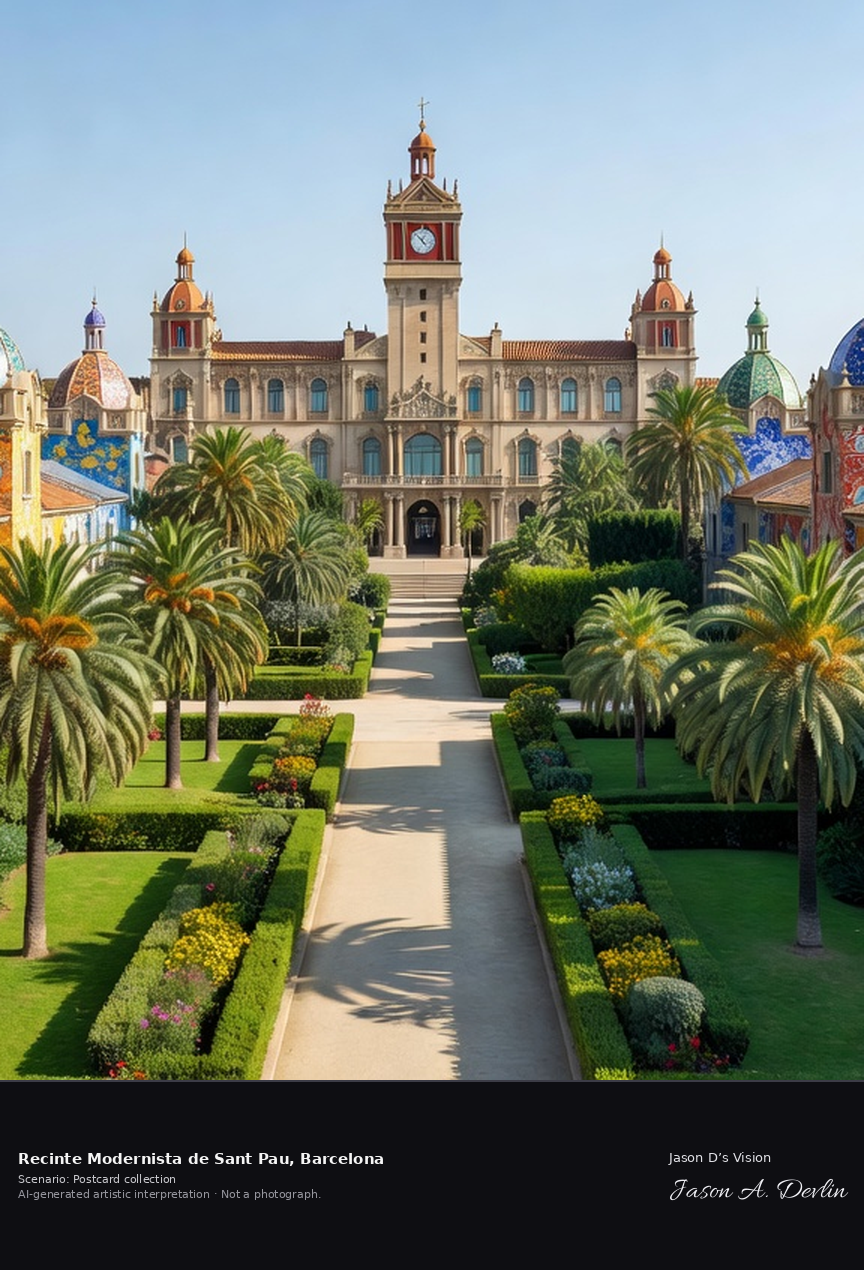
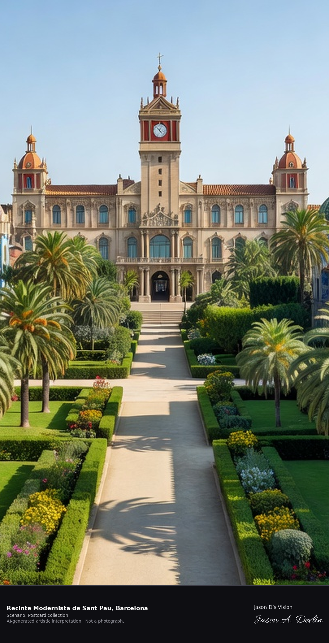
Recinte Modernista de Sant Pau · AI-generated artistic interpretation
The Recinte Modernista de Sant Pau, designed by Lluis Domenech i Montaner and built between 1905 and 1930, is the world's largest Art Nouveau complex: a garden city of tiled hospital pavilions linked by underground tunnels. A working hospital until 2009, it is now a UNESCO World Heritage Site and museum. A fresh retrieval for this spot on 7 November 2026 recorded 14.0 °C, fog (WMO code 45), cloud cover 45%, wind 4.2 km/h.
Postcard collection
Daylight
Viewpoint, conditions & editions
Along the central avenue of the garden-city complex: colourful Modernista hospital pavilions with tiled roofs, domes and towers on both sides, gardens and palm-lined paths, the ornate administration pavilion with its clock tower at the end. Reference-reported camera 41.411600 N, 2.174400 E; exact generated camera correspondence is unverified.
14°C, weather code 45 (fog), cloud 45%, wind 4.2 km/h. Per-scene Open-Meteo retrieval 2026-11-07T19:25:20.752287+00:00 for the scene's own coordinates.
Downloads carry the finished label bar: caption, scenario and AI disclosure on the left, “Jason D’s Vision” with the script signature on the right.
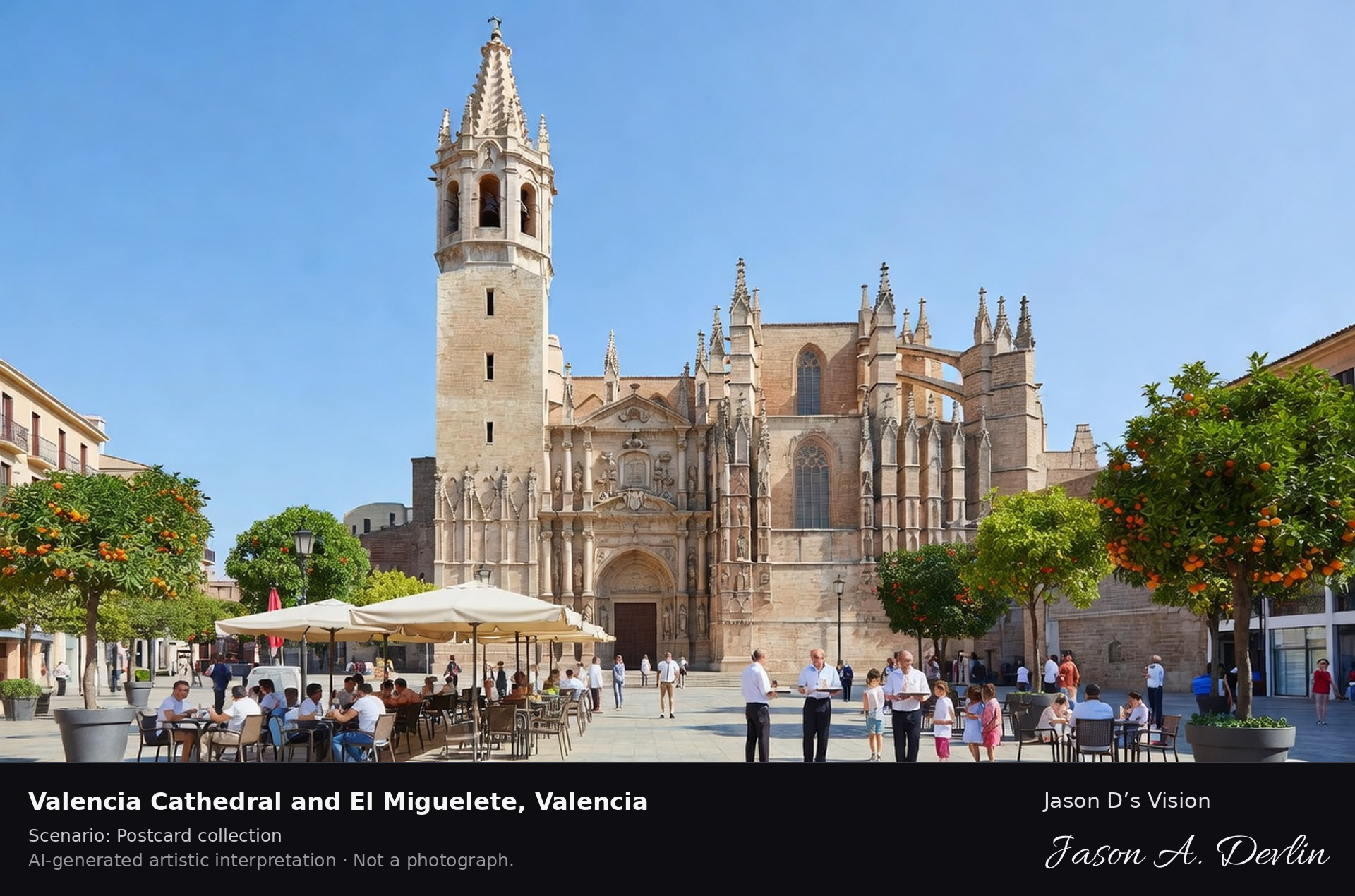
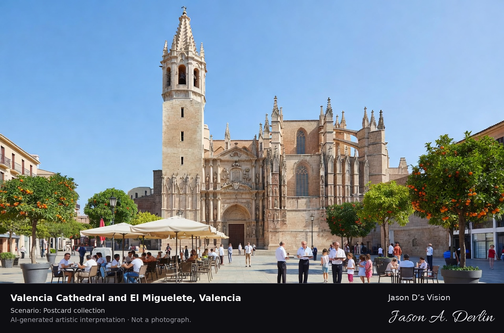
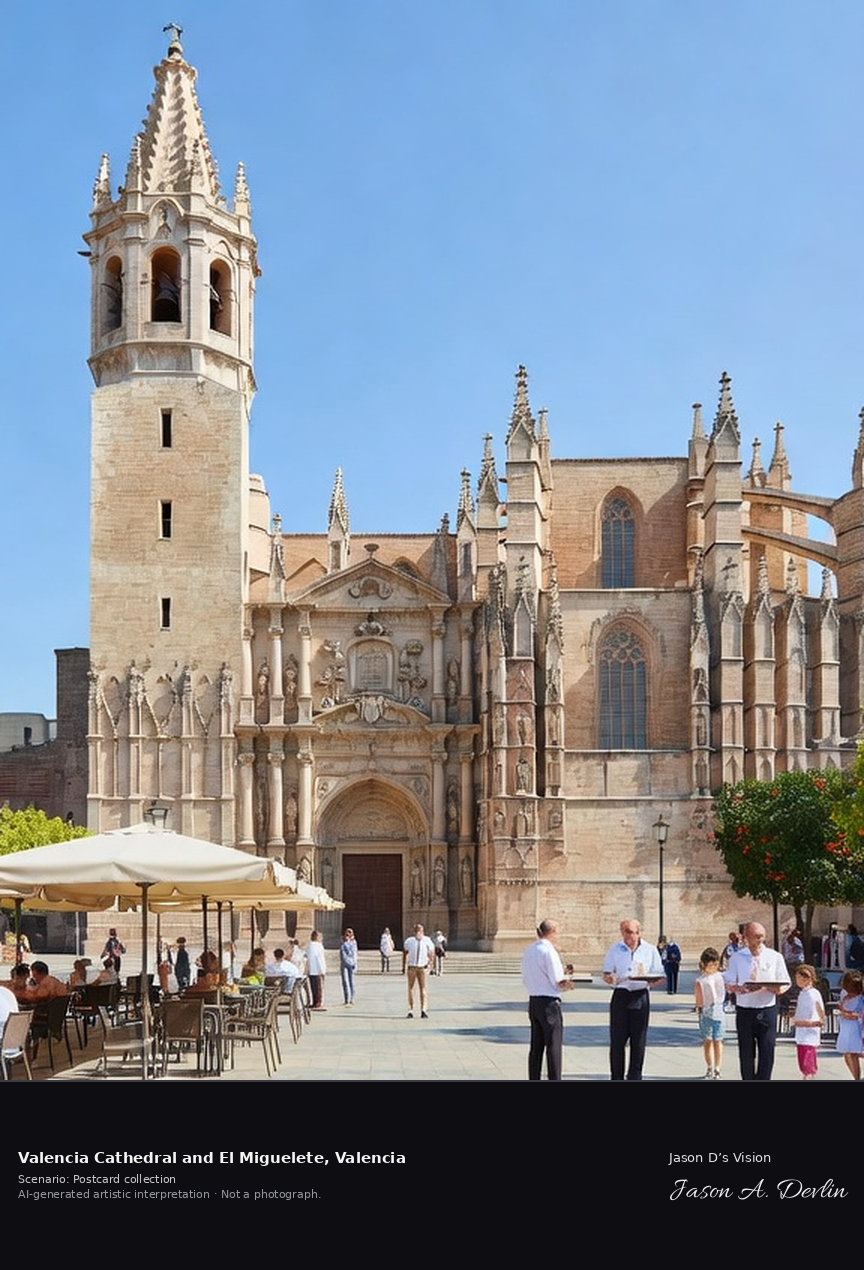
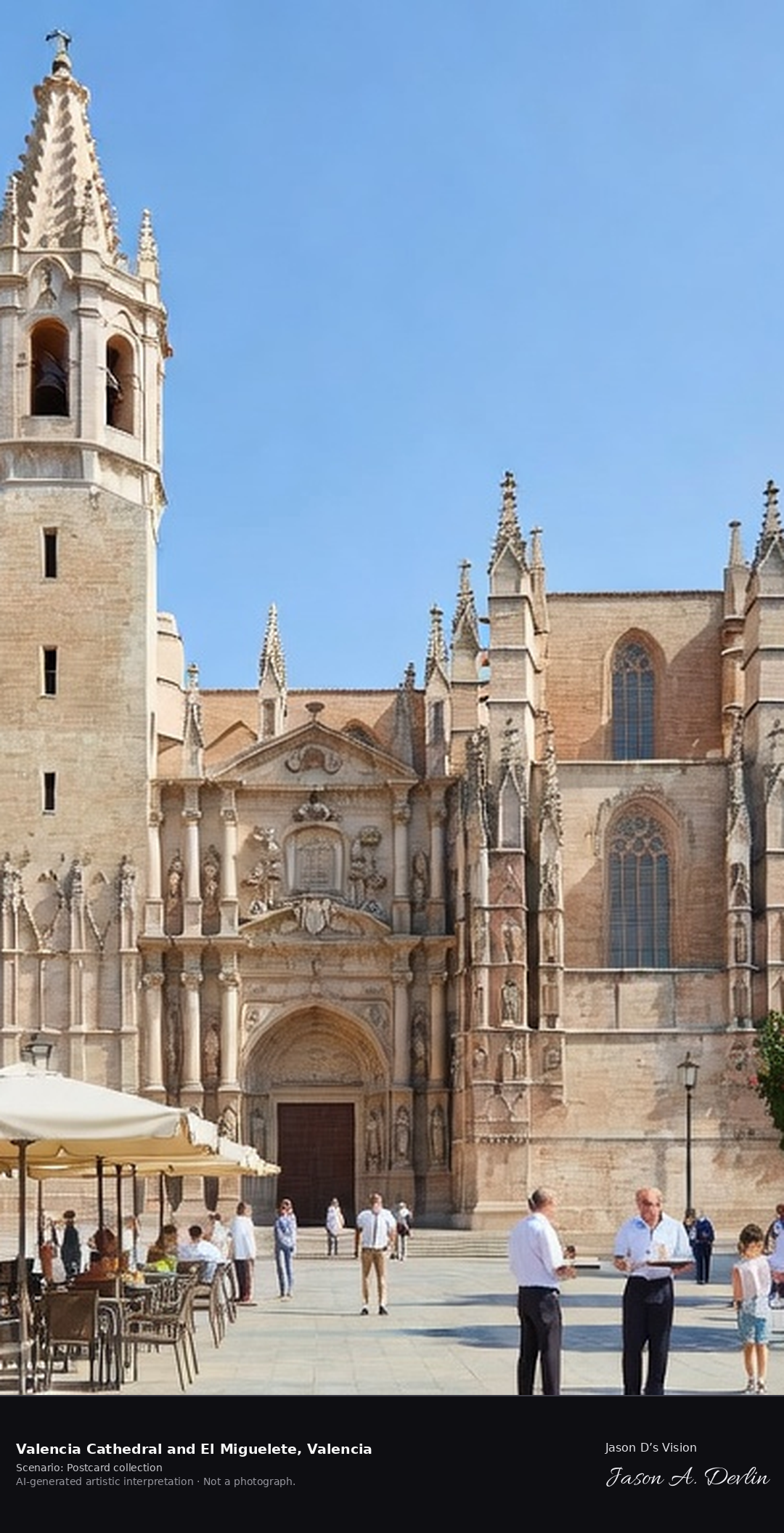
Valencia Cathedral & El Miguelete · AI-generated artistic interpretation
Valencia Cathedral, built between the thirteenth and fifteenth centuries over the city's former mosque, mixes Romanesque, Gothic and Baroque in one building, crowned by the octagonal Miguelete bell tower. Its Holy Chalice chapel holds an agate cup venerated as a candidate for the Holy Grail. A fresh retrieval for this spot on 7 November 2026 recorded 17.5 °C, mainly clear (WMO code 1), cloud cover 10%, wind 0.7 km/h.
Postcard collection
Daylight
Viewpoint, conditions & editions
From Plaza de la Reina: cathedral centred with its octagonal Miguelete bell tower rising high, Gothic and Baroque facades below, old-town square and cafe terraces in front. Reference-reported camera 39.476300 N, 0.375800 W; exact generated camera correspondence is unverified.
17.5°C, weather code 1 (mainly clear), cloud 10%, wind 0.7 km/h. Per-scene Open-Meteo retrieval 2026-11-07T19:25:33.317494+00:00 for the scene's own coordinates.
Downloads carry the finished label bar: caption, scenario and AI disclosure on the left, “Jason D’s Vision” with the script signature on the right.
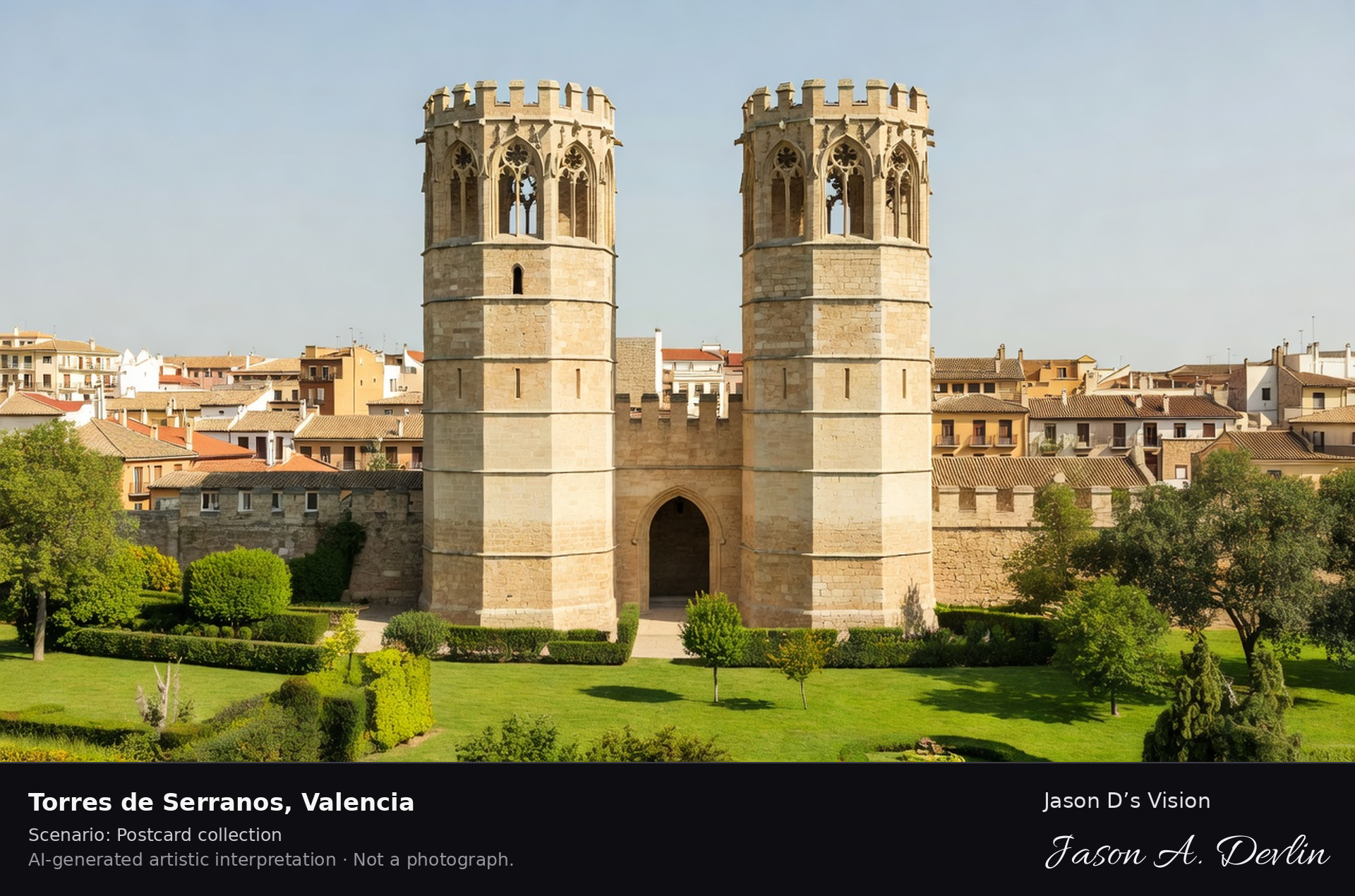
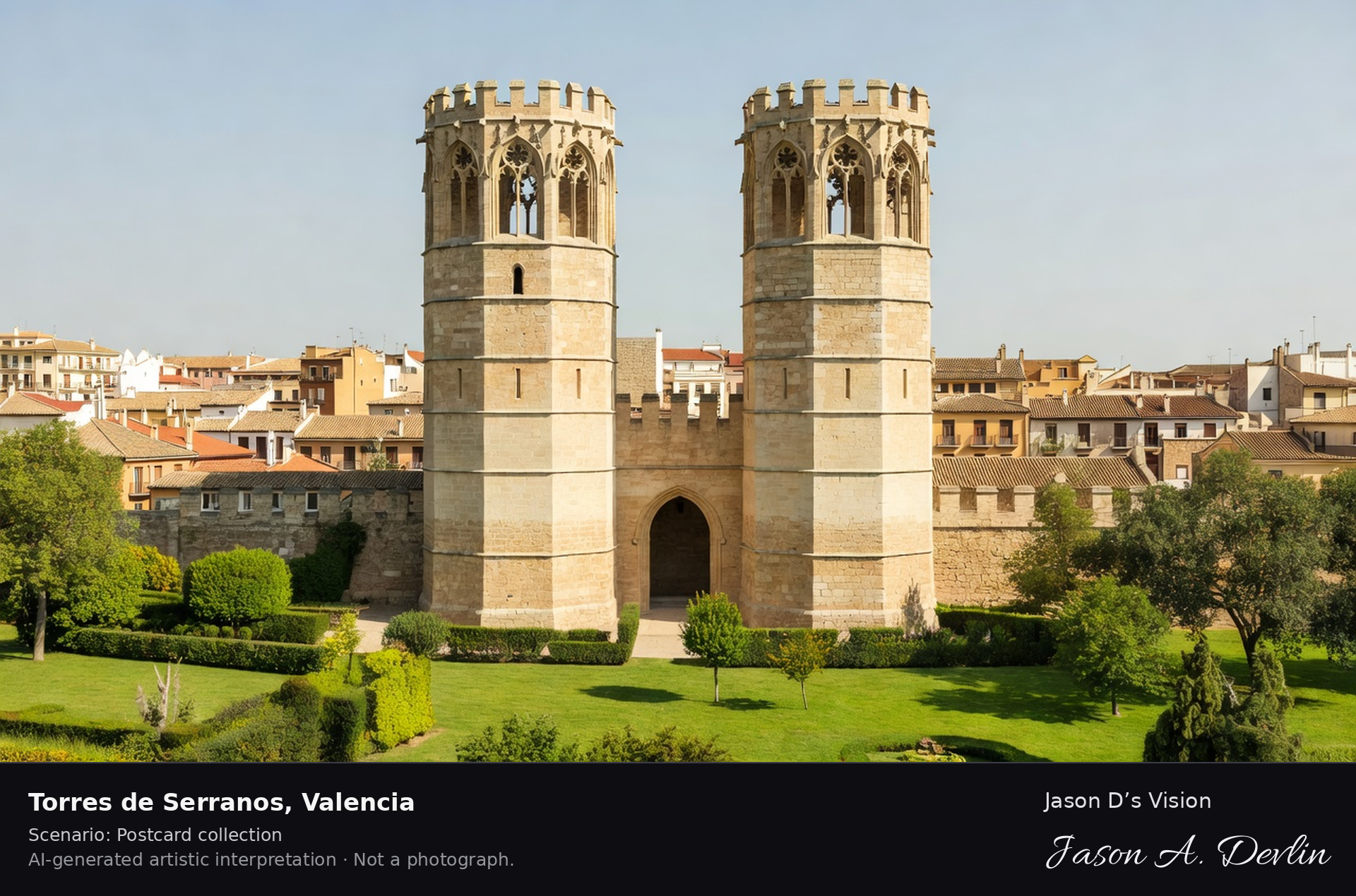
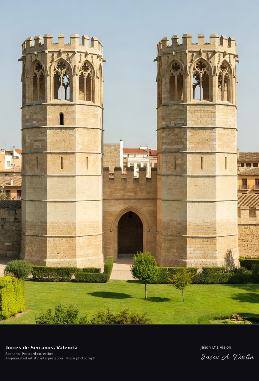
Torres de Serranos · AI-generated artistic interpretation
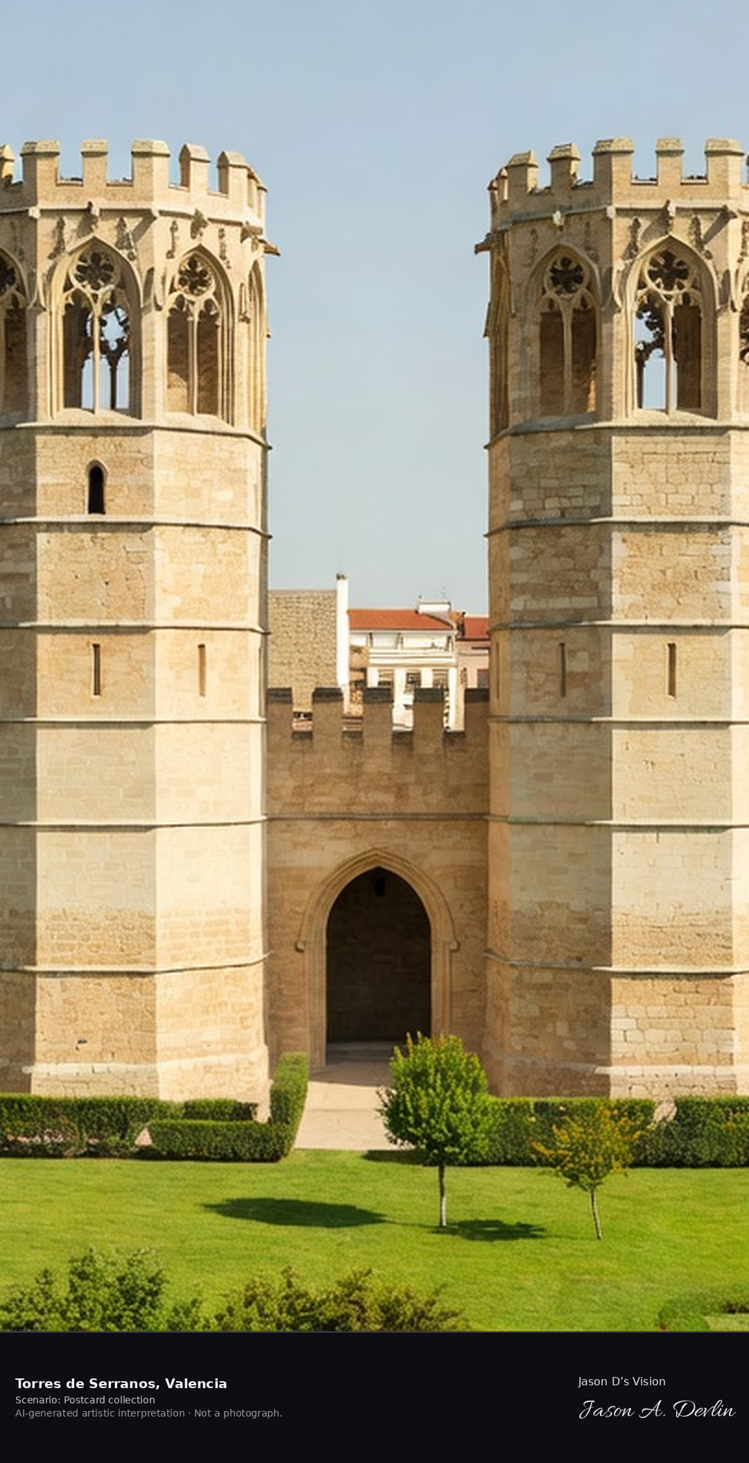
The Torres de Serranos, built between 1392 and 1398, are Valencia's great Gothic city gate, a pair of polygonal towers that once guarded the northern entrance from the river Turia. They later served as a prison for nobles, and in the Civil War sheltered artworks evacuated from the Prado. A fresh retrieval for this spot on 7 November 2026 recorded 17.5 °C, mainly clear (WMO code 1), cloud cover 10%, wind 0.7 km/h.
Postcard collection
Daylight
Viewpoint, conditions & editions
Head-on from the old Turia riverbed gardens: twin polygonal Gothic towers centred flanking a pointed-arch gateway, crenellated terraces, green riverbed park in front, old town behind. Reference-reported camera 39.479300 N, 0.376000 W; exact generated camera correspondence is unverified.
17.5°C, weather code 1 (mainly clear), cloud 10%, wind 0.7 km/h. Per-scene Open-Meteo retrieval 2026-11-07T19:25:46.450985+00:00 for the scene's own coordinates.
Downloads carry the finished label bar: caption, scenario and AI disclosure on the left, “Jason D’s Vision” with the script signature on the right.
Mercat Central · AI-generated artistic interpretation
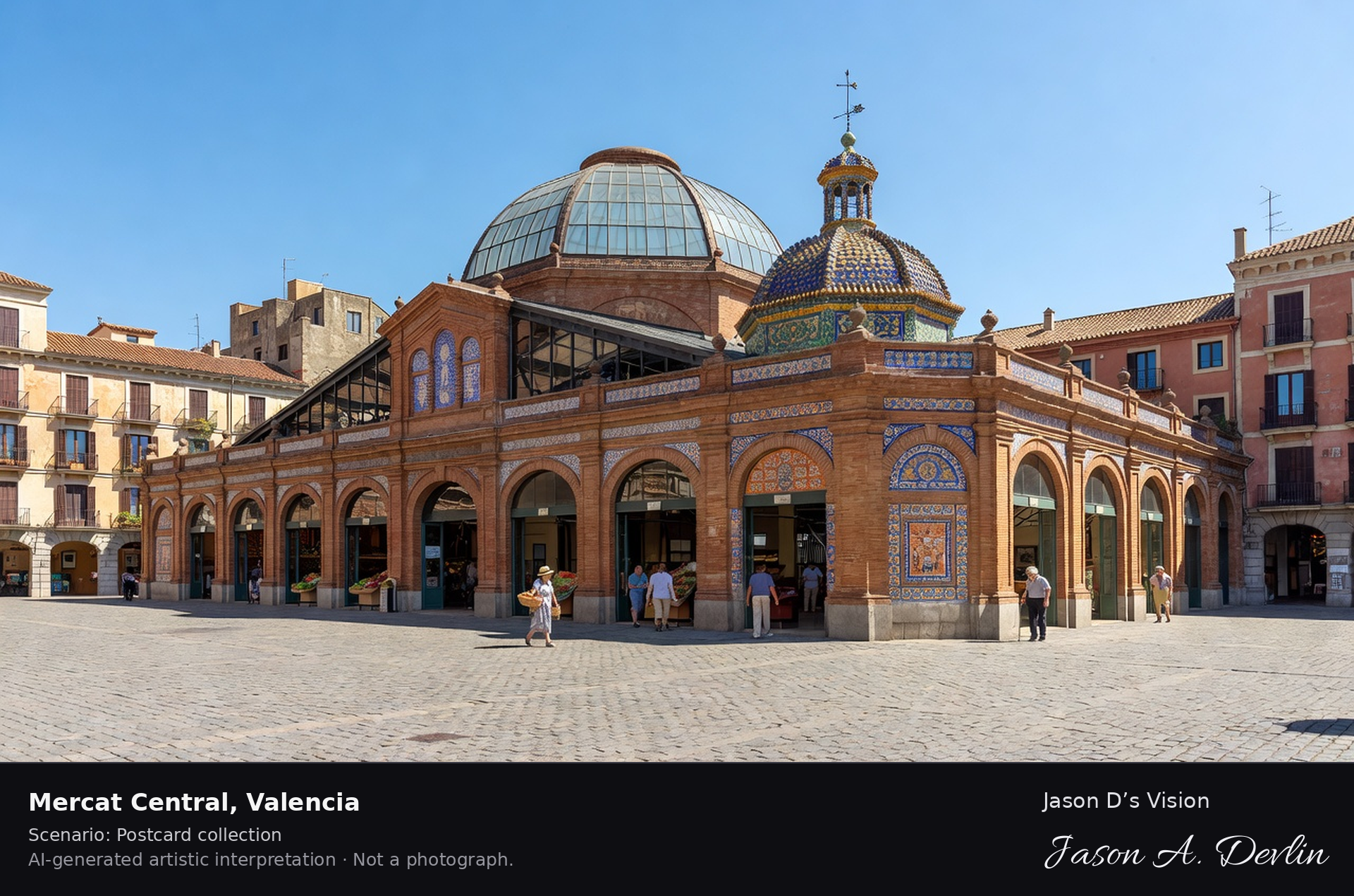
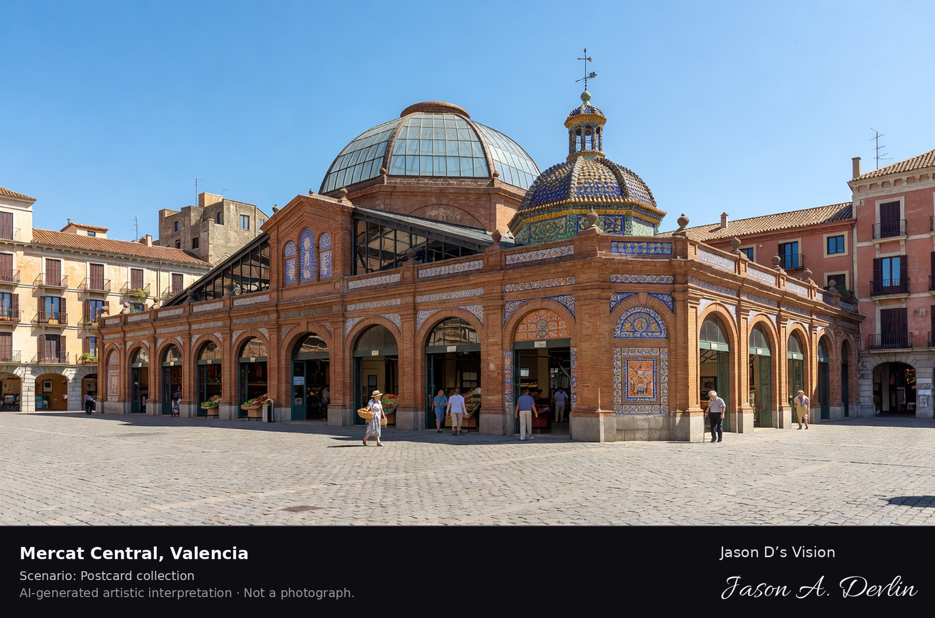
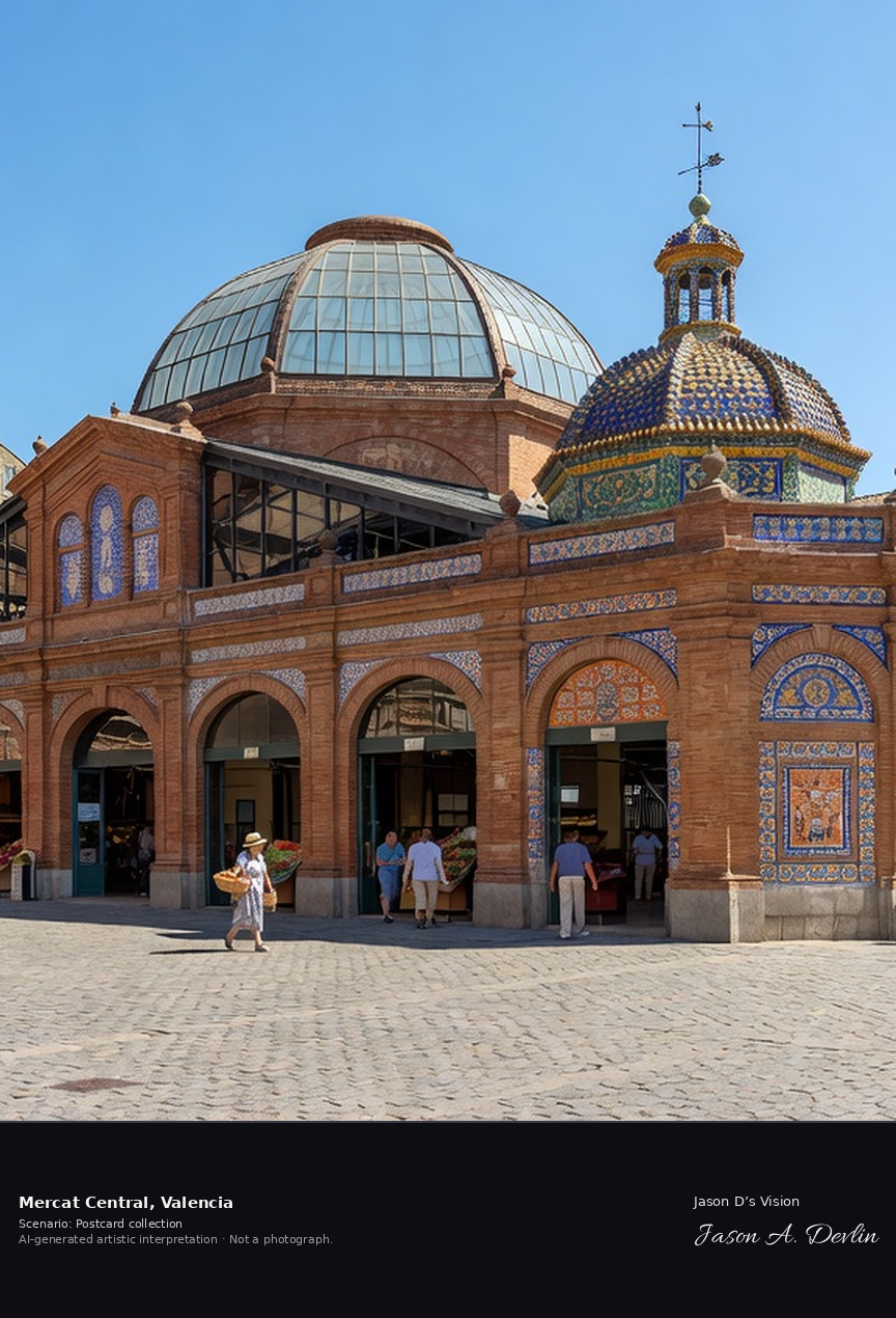
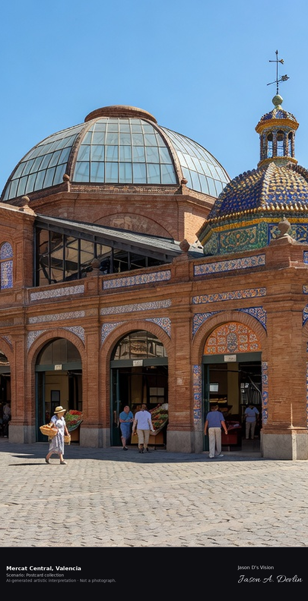
Valencia's Mercat Central, opened in 1928, is one of Europe's largest and most beautiful food markets, a Modernista cathedral of iron, glass and ceramic tile covering over eight thousand square metres. Around a thousand stalls sell the produce of Valencia's huerta, seafood, cured meats and saffron. A fresh retrieval for this spot on 7 November 2026 recorded 17.5 °C, mainly clear (WMO code 1), cloud cover 10%, wind 0.7 km/h.
Postcard collection
Daylight
Viewpoint, conditions & editions
Across the market square: long Modernista market hall centred, iron and glass with colourful ceramic tiles, a large central dome and smaller cupola with a weathervane, old-town buildings and the Santos Juanes church around the square. Reference-reported camera 39.472900 N, 0.378800 W; exact generated camera correspondence is unverified.
17.5°C, weather code 1 (mainly clear), cloud 10%, wind 0.7 km/h. Per-scene Open-Meteo retrieval 2026-11-07T19:25:59.813207+00:00 for the scene's own coordinates.
Downloads carry the finished label bar: caption, scenario and AI disclosure on the left, “Jason D’s Vision” with the script signature on the right.
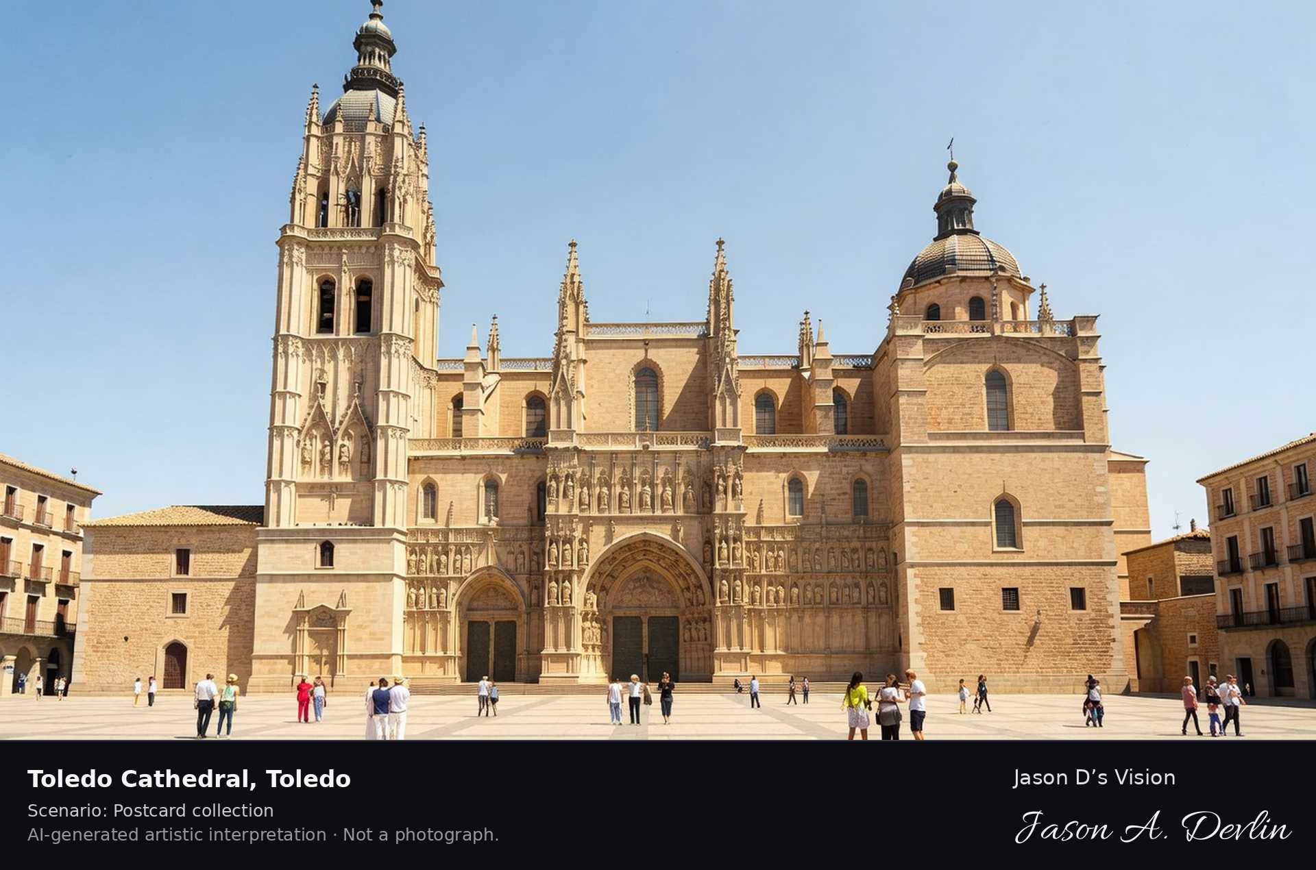
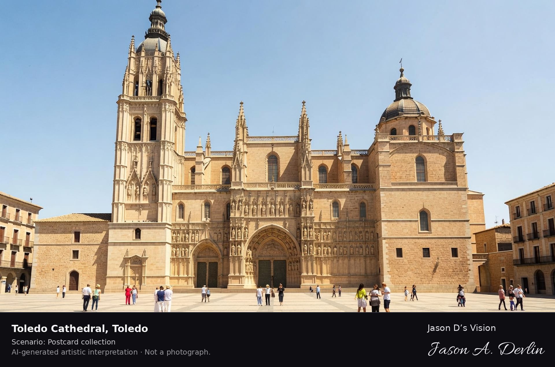
Toledo Cathedral, begun in 1226, is one of the great Gothic cathedrals of Spain and the seat of its primate archbishop, built in French Gothic style over the city's former mosque. Its sacristy is a gallery of El Greco, Goya and Van Dyck, and its choir and Transparente are masterpieces of Spanish art. A fresh retrieval for this spot on 7 November 2026 recorded 14.2 °C, partly cloudy (WMO code 2), cloud cover 81%, wind 4.1 km/h.
Postcard collection
Daylight
Viewpoint, conditions & editions
From the Plaza del Ayuntamiento: vast Gothic cathedral centred, one great completed tower with spire, the second tower unfinished capped by a dome, carved west facade and portals below, town hall square in front. Reference-reported camera 39.857100 N, 4.023400 W; exact generated camera correspondence is unverified.
14.2°C, weather code 2 (partly cloudy), cloud 81%, wind 4.1 km/h. Per-scene Open-Meteo retrieval 2026-11-07T19:26:12.524004+00:00 for the scene's own coordinates.
Downloads carry the finished label bar: caption, scenario and AI disclosure on the left, “Jason D’s Vision” with the script signature on the right.
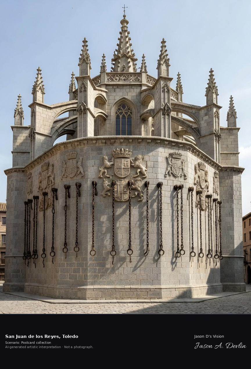
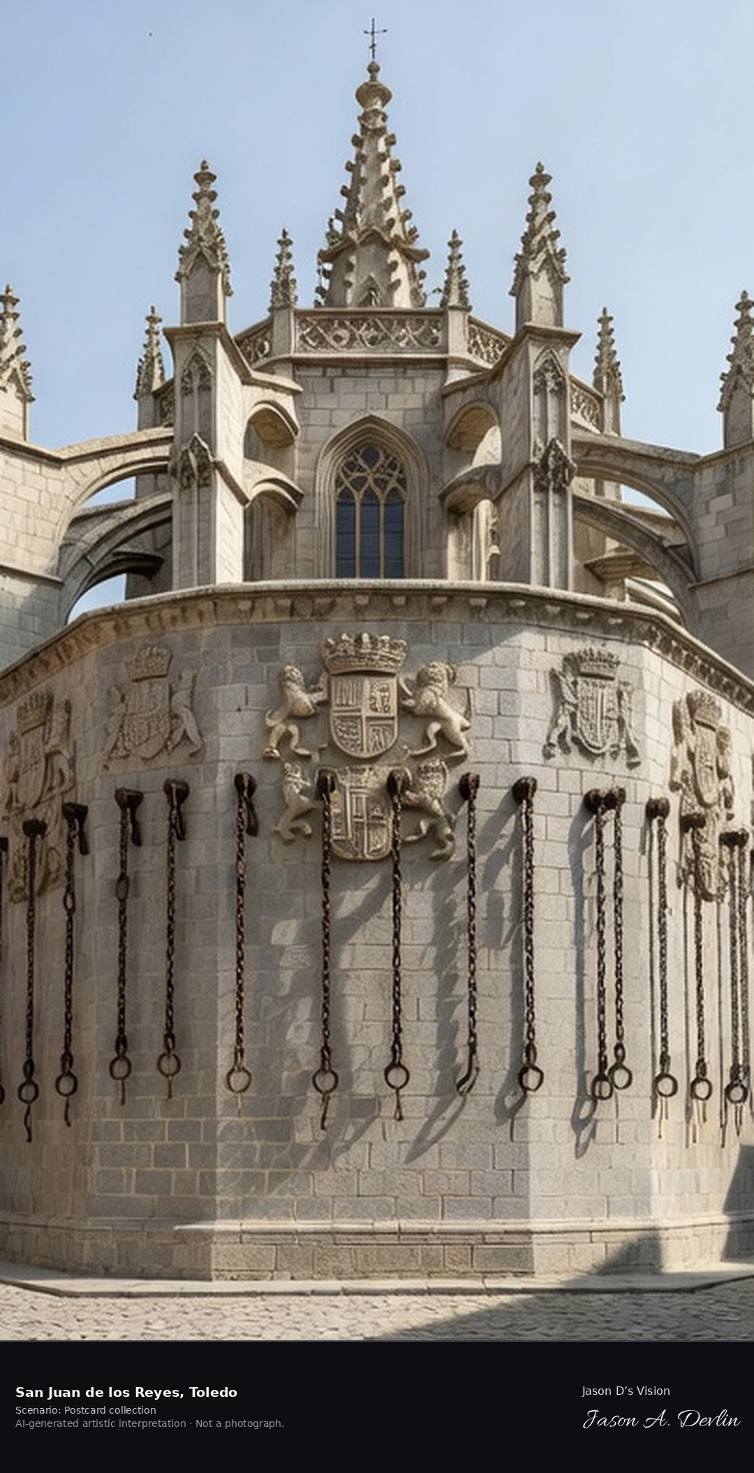
San Juan de los Reyes · AI-generated artistic interpretation
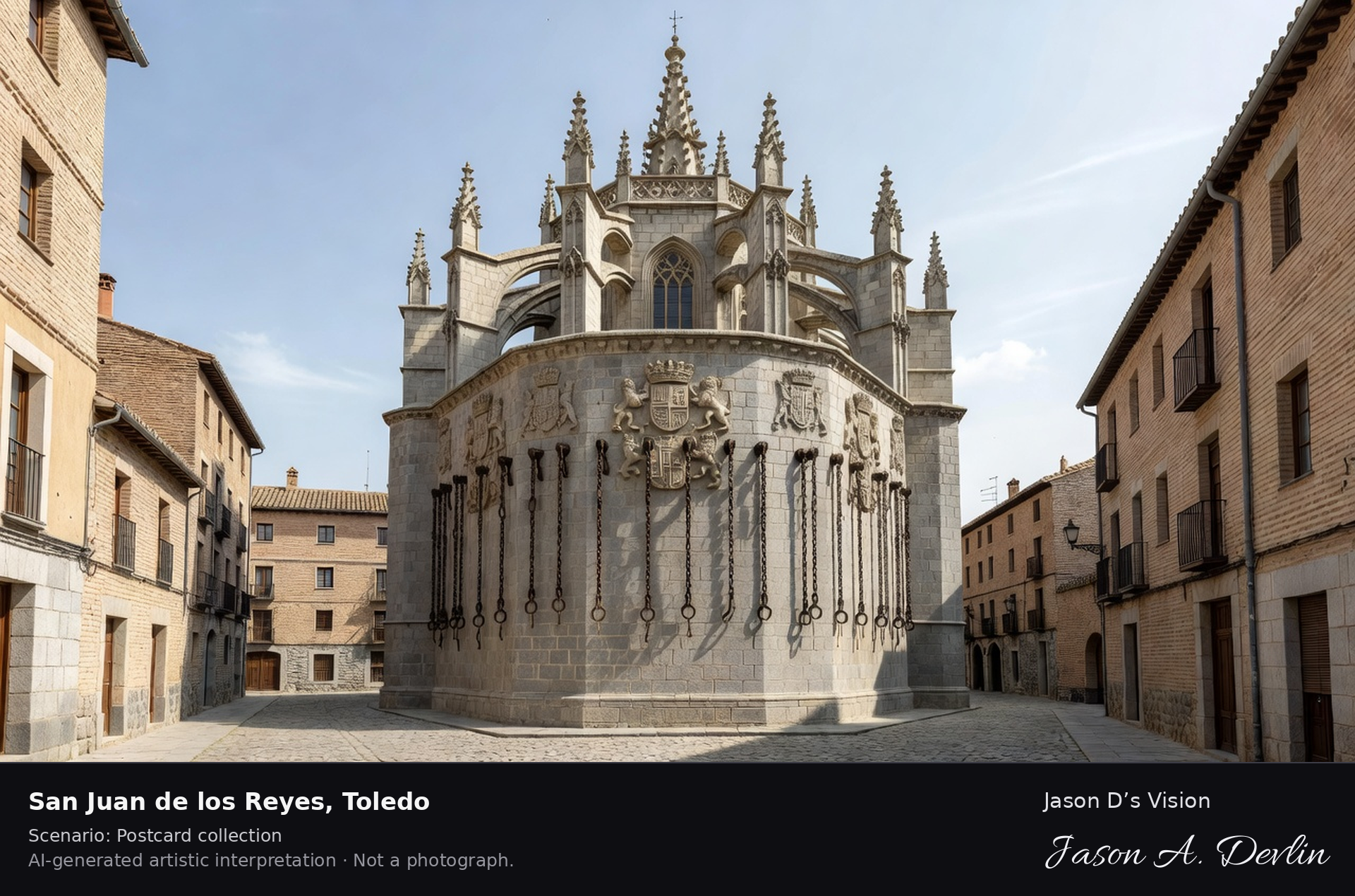
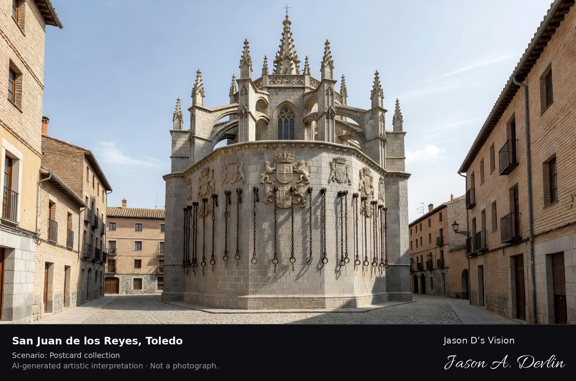
San Juan de los Reyes was founded by the Catholic Monarchs, Ferdinand and Isabella, as a votive monastery after the Battle of Toro in 1476. Its Isabelline Gothic church and two-storey cloister are masterpieces of the style, and chains of captives freed from Granada hang on its outer walls. A fresh retrieval for this spot on 7 November 2026 recorded 14.4 °C, partly cloudy (WMO code 2), cloud cover 81%, wind 4.1 km/h.
Postcard collection
Daylight
Viewpoint, conditions & editions
From the street below in the Jewish Quarter: Isabelline Gothic church centred, its stone facade with the royal coat of arms and chains of freed captives hanging on the exterior wall, apse and small spire, old quarter around. Reference-reported camera 39.858100 N, 4.032400 W; exact generated camera correspondence is unverified.
14.4°C, weather code 2 (partly cloudy), cloud 81%, wind 4.1 km/h. Per-scene Open-Meteo retrieval 2026-11-07T19:26:25.904437+00:00 for the scene's own coordinates.
Downloads carry the finished label bar: caption, scenario and AI disclosure on the left, “Jason D’s Vision” with the script signature on the right.
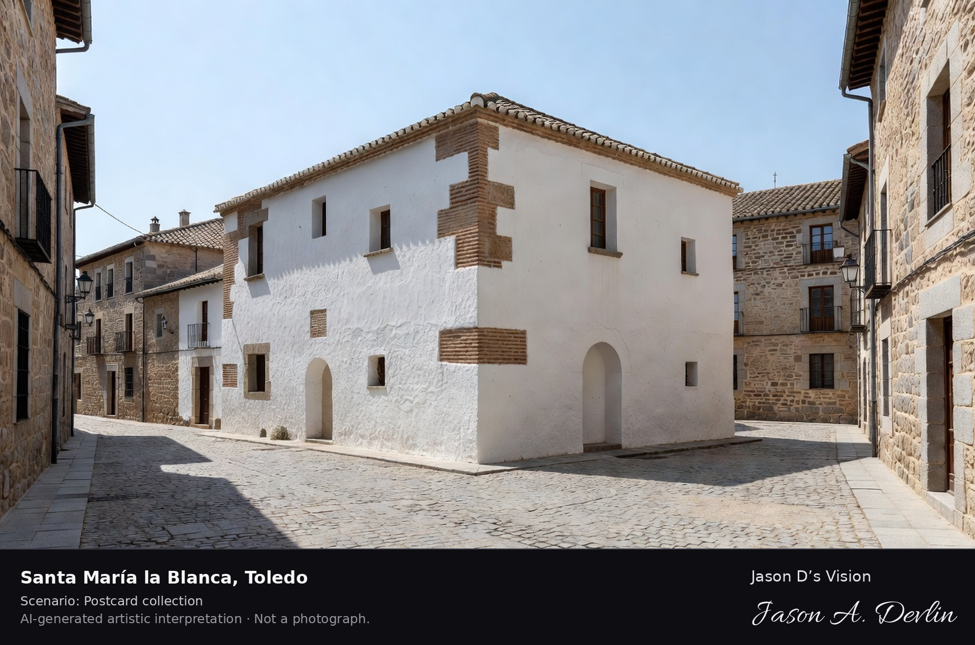
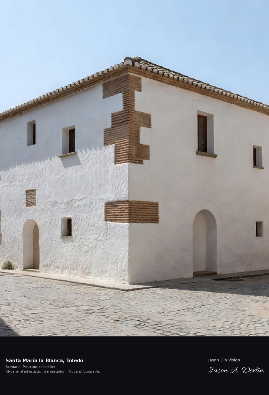
Santa María la Blanca · AI-generated artistic interpretation
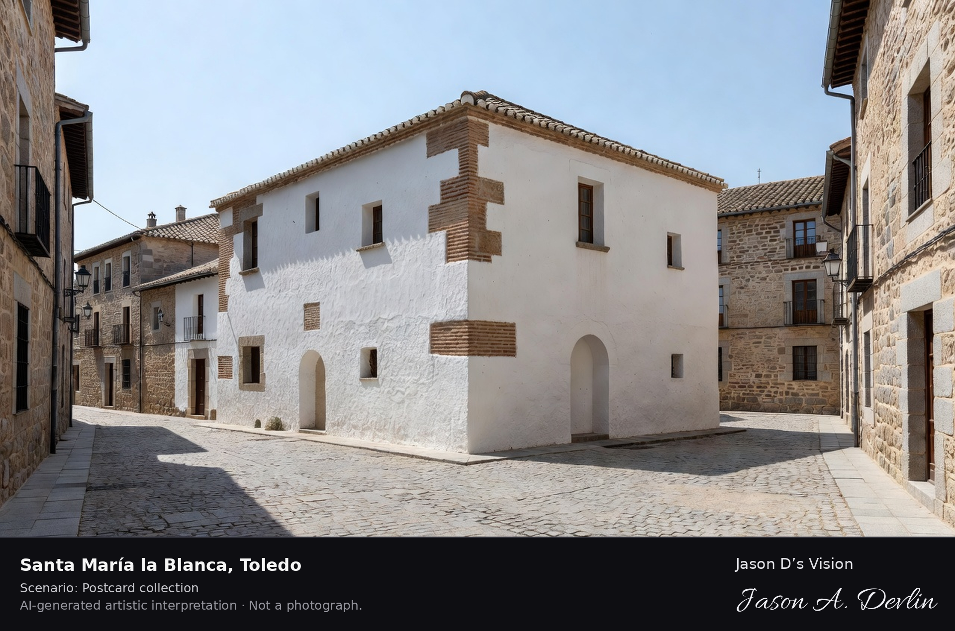
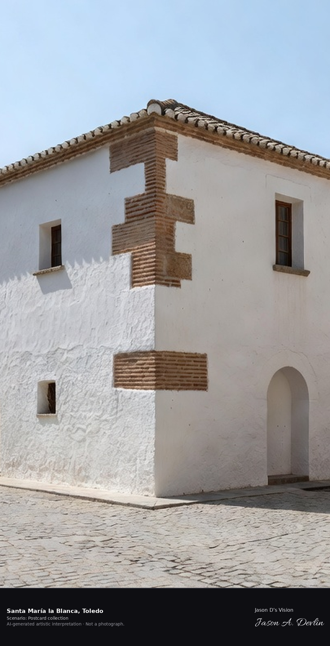
Santa Maria la Blanca, built in the late twelfth century, is among Europe's oldest synagogue buildings, famous for its interior forest of white horseshoe arches on octagonal pillars in the Almohad style. Later a church, it is now a museum and Toledo's emblem of its three cultures — Jewish, Muslim-crafted and Christian. A fresh retrieval for this spot on 7 November 2026 recorded 14.3 °C, partly cloudy (WMO code 2), cloud cover 81%, wind 4.1 km/h.
Postcard collection
Daylight
Viewpoint, conditions & editions
Exterior in the Jewish Quarter: low whitewashed former synagogue centred, plain brick and white walls with small horseshoe-arched windows, tiled roof, quiet lane and old houses around — the splendour is the horseshoe-arch interior. Reference-reported camera 39.857100 N, 4.030200 W; exact generated camera correspondence is unverified.
14.3°C, weather code 2 (partly cloudy), cloud 81%, wind 4.1 km/h. Per-scene Open-Meteo retrieval 2026-11-07T19:26:38.822079+00:00 for the scene's own coordinates.
Downloads carry the finished label bar: caption, scenario and AI disclosure on the left, “Jason D’s Vision” with the script signature on the right.
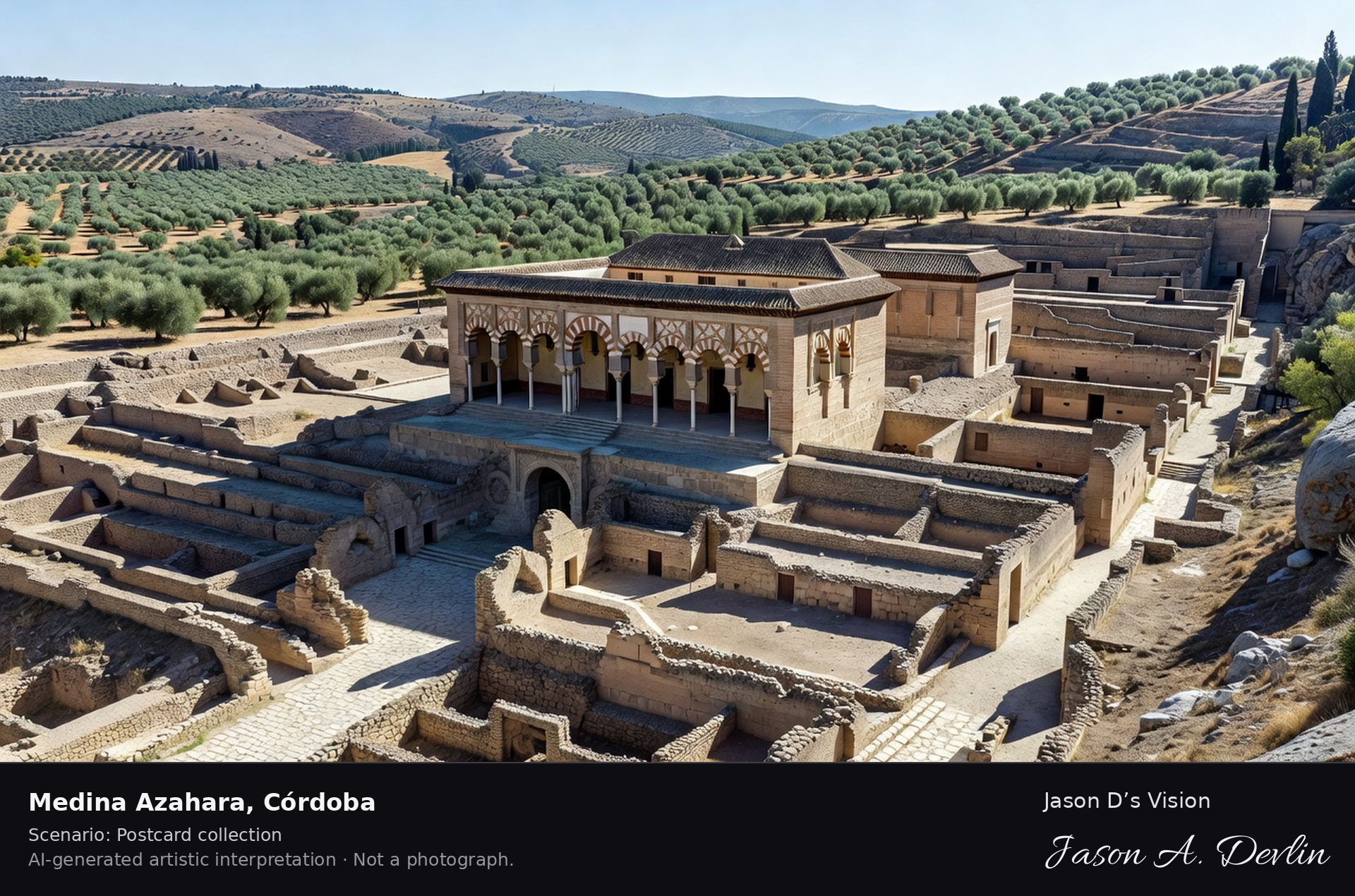
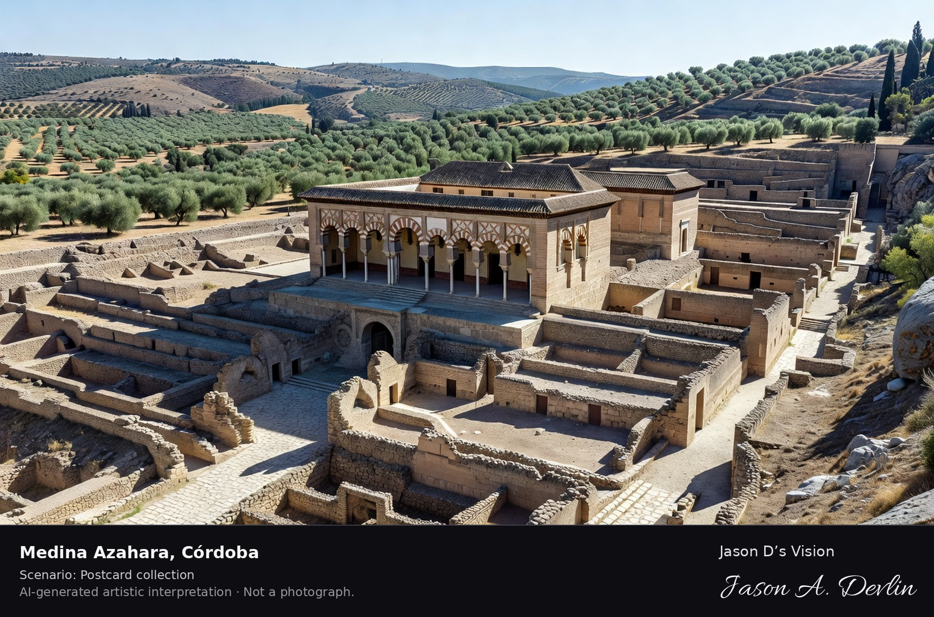
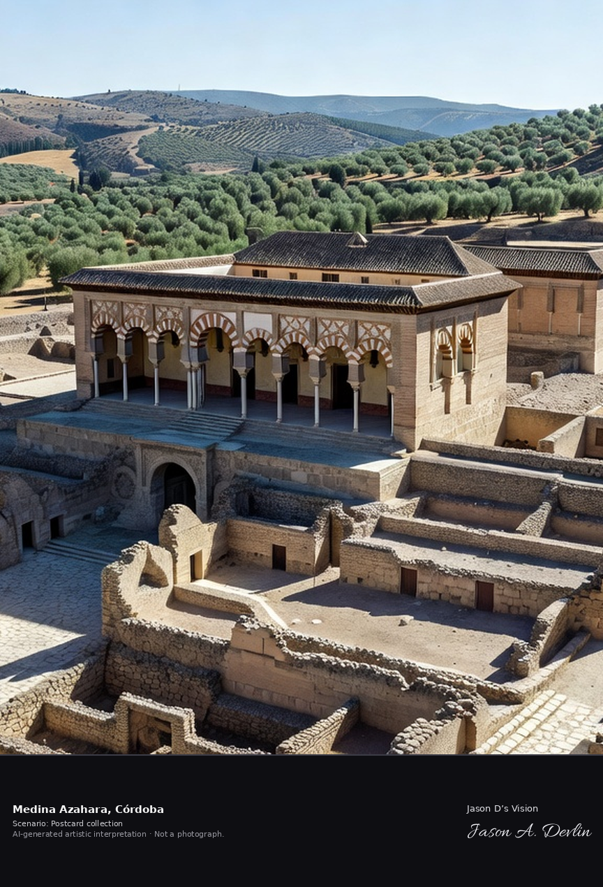
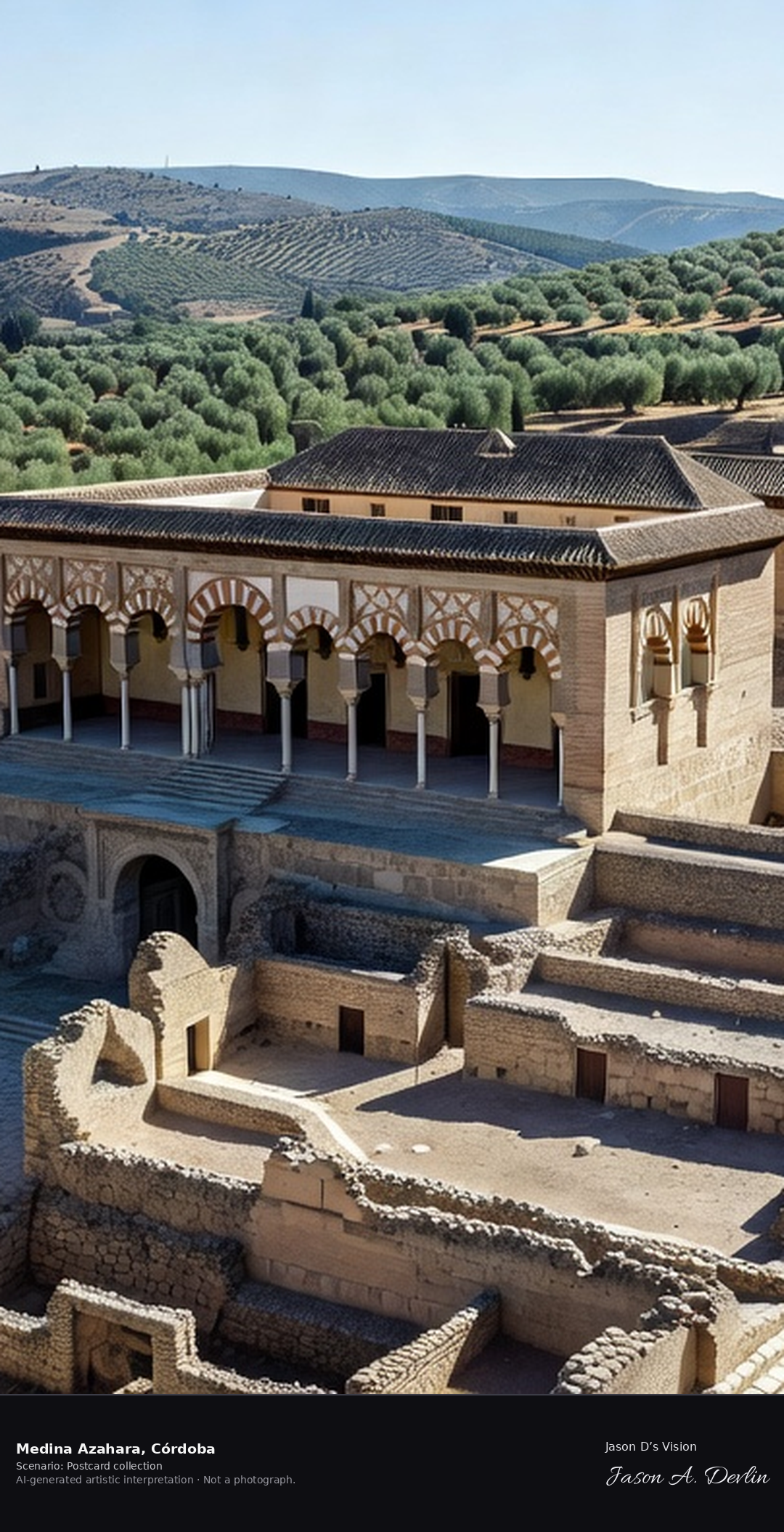
Medina Azahara was the palace-city built from 936 by Abd al-Rahman III, the first caliph of Cordoba, at the foot of the Sierra Morena west of the city. Destroyed in civil war within a century, its excavated terraces and restored Salón Rico are a UNESCO World Heritage Site. A fresh retrieval for this spot on 7 November 2026 recorded 17.1 °C, mainly clear (WMO code 1), cloud cover 78%, wind 7.3 km/h.
Postcard collection
Daylight
Viewpoint, conditions & editions
Across the terraced archaeological site: restored Salón Rico reception hall with its horseshoe-arch portico centred on a terrace, excavated streets and walls stepping down the hillside, olive country and the Sierra Morena foothills beyond, no modern city. Reference-reported camera 37.887500 N, 4.869000 W; exact generated camera correspondence is unverified.
17.1°C, weather code 1 (mainly clear), cloud 78%, wind 7.3 km/h. Per-scene Open-Meteo retrieval 2026-11-07T19:26:52.535600+00:00 for the scene's own coordinates.
Downloads carry the finished label bar: caption, scenario and AI disclosure on the left, “Jason D’s Vision” with the script signature on the right.
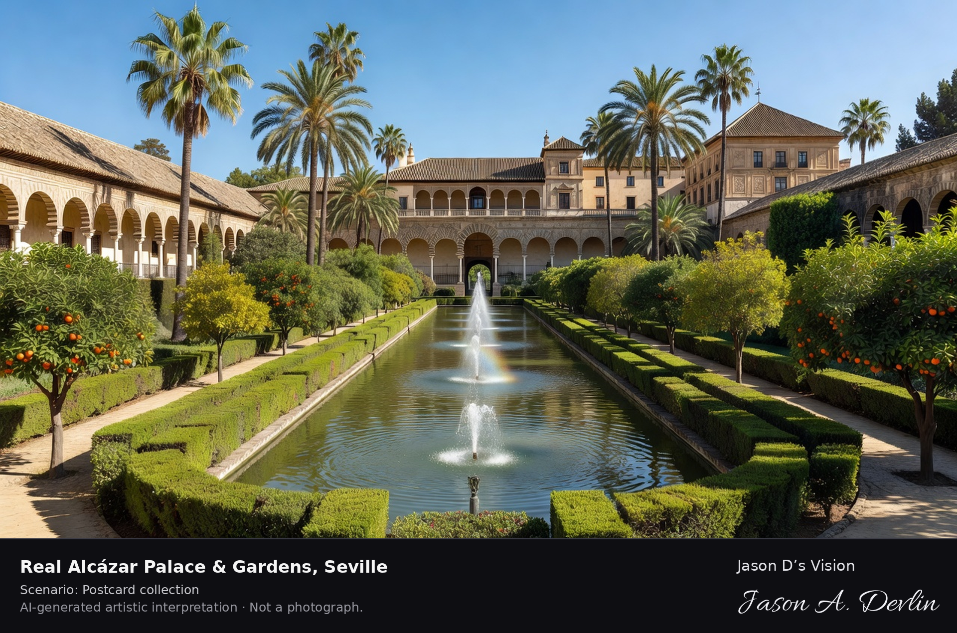
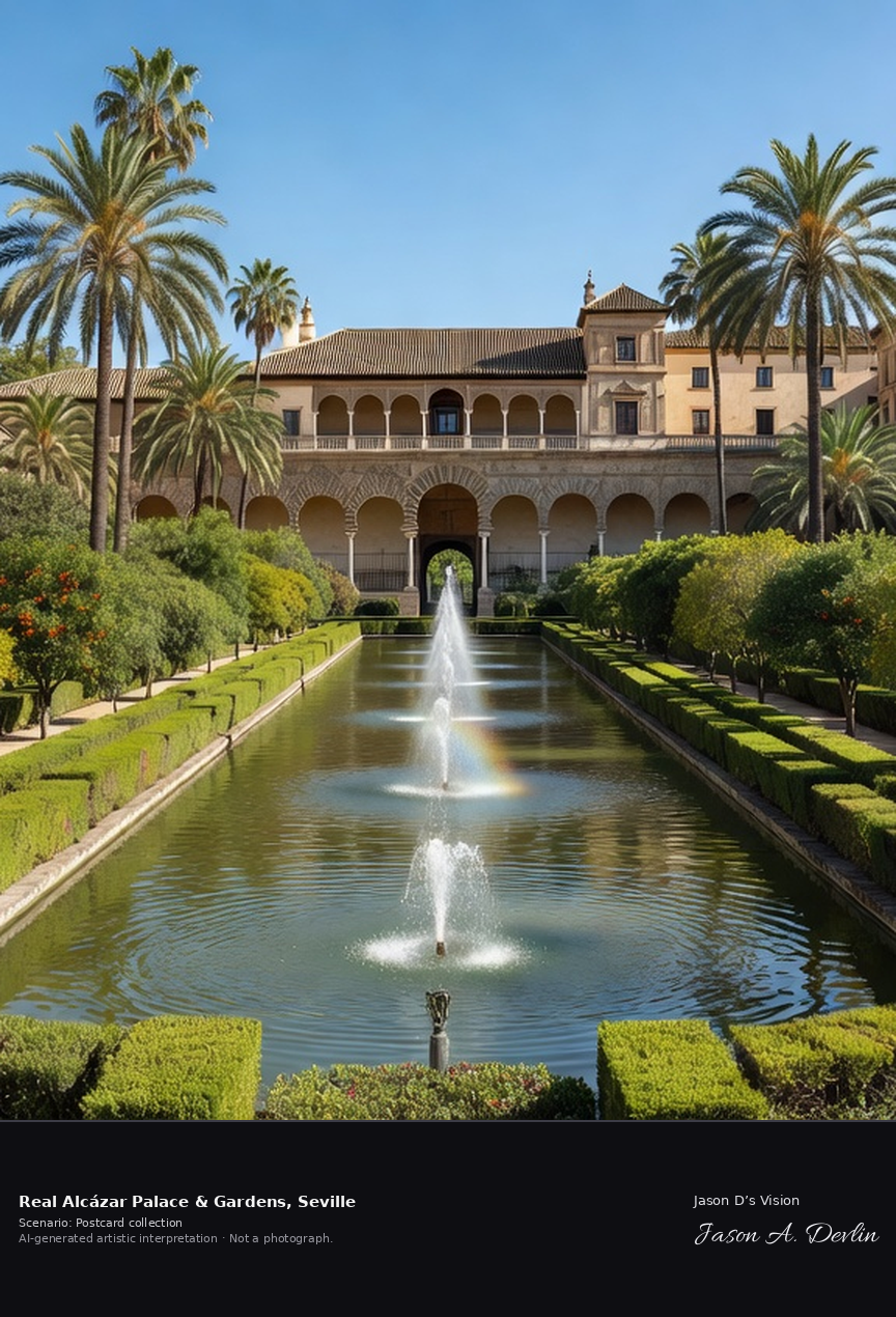
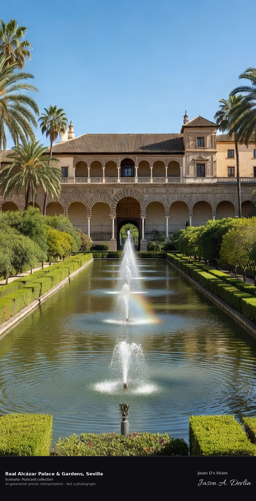
Real Alcázar — palace & gardens · AI-generated artistic interpretation
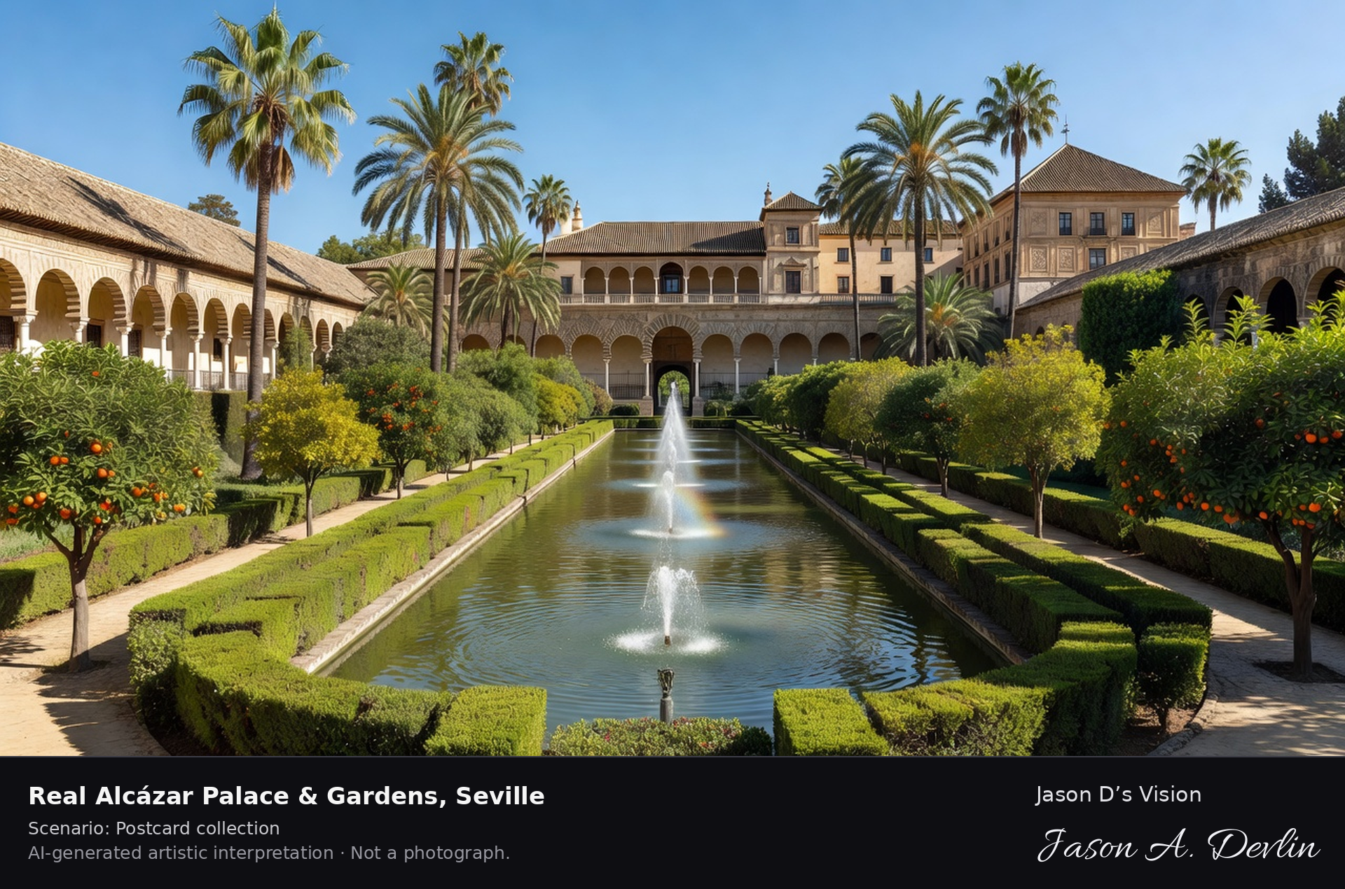
The Real Alcazar of Seville is Europe's oldest royal palace still in regular use, its Mudejar halls built for Christian kings by Muslim craftsmen from the fourteenth century on the site of an Islamic fortress-palace. Behind the palace spread great gardens of palms, orange trees, ponds and grotto galleries, laid out over centuries. A fresh retrieval for this spot on 7 November 2026 recorded 21.8 °C, overcast (WMO code 3), cloud cover 95%, wind 2.5 km/h.
Postcard collection
Daylight
Viewpoint, conditions & editions
In the Alcazar gardens looking to the palace: lush historic gardens in foreground with palms, hedges, paths and a fountain/pond, the Mudejar palace walls and Galeria del Grutesco beyond — PALACE AND GARDENS, not the Puerta del Leon gate. Reference-reported camera 37.383000 N, 5.991000 W; exact generated camera correspondence is unverified.
21.8°C, weather code 3 (overcast), cloud 95%, wind 2.5 km/h. Per-scene Open-Meteo retrieval 2026-11-07T19:27:05.203164+00:00 for the scene's own coordinates.
Downloads carry the finished label bar: caption, scenario and AI disclosure on the left, “Jason D’s Vision” with the script signature on the right.
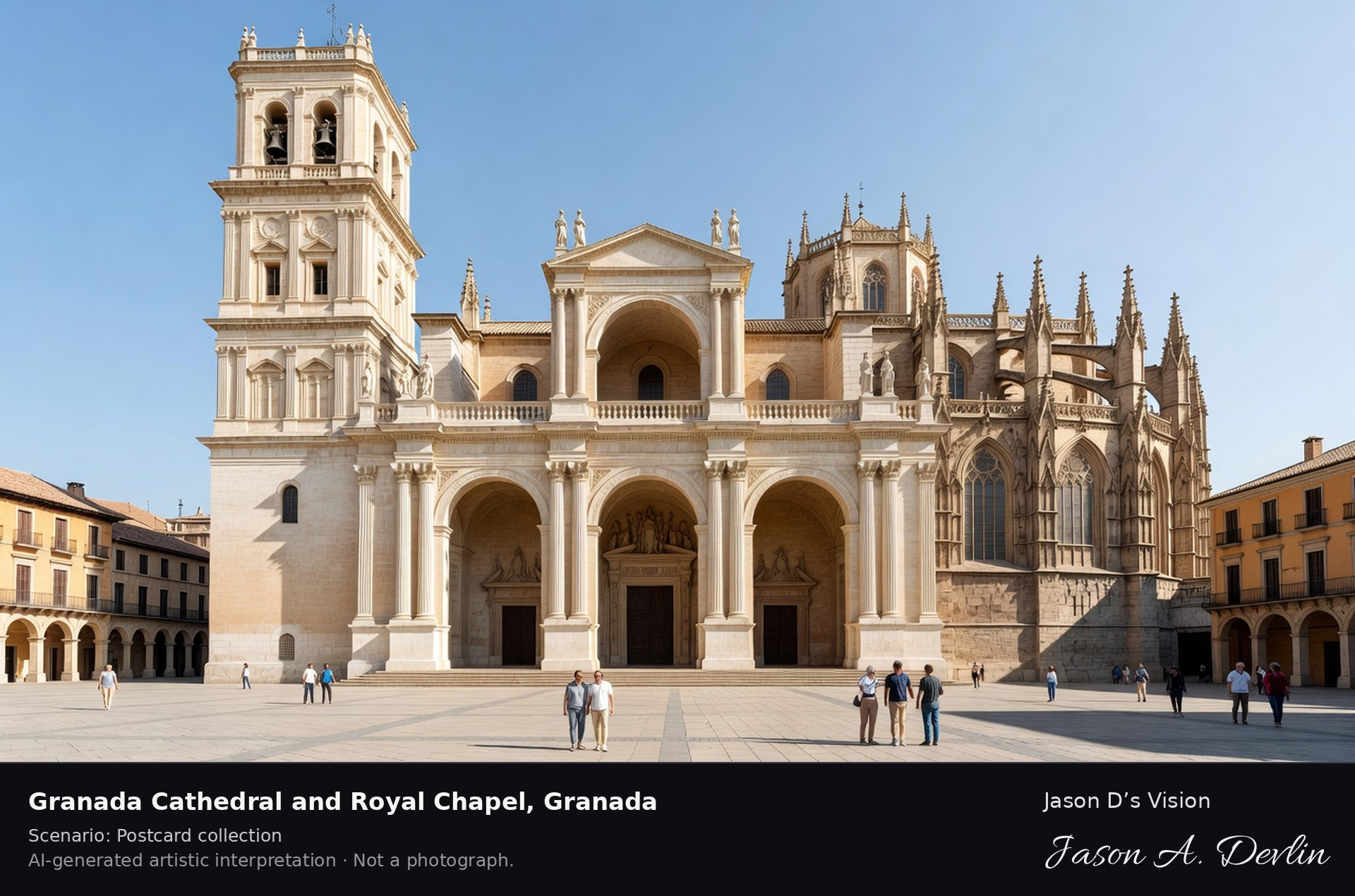
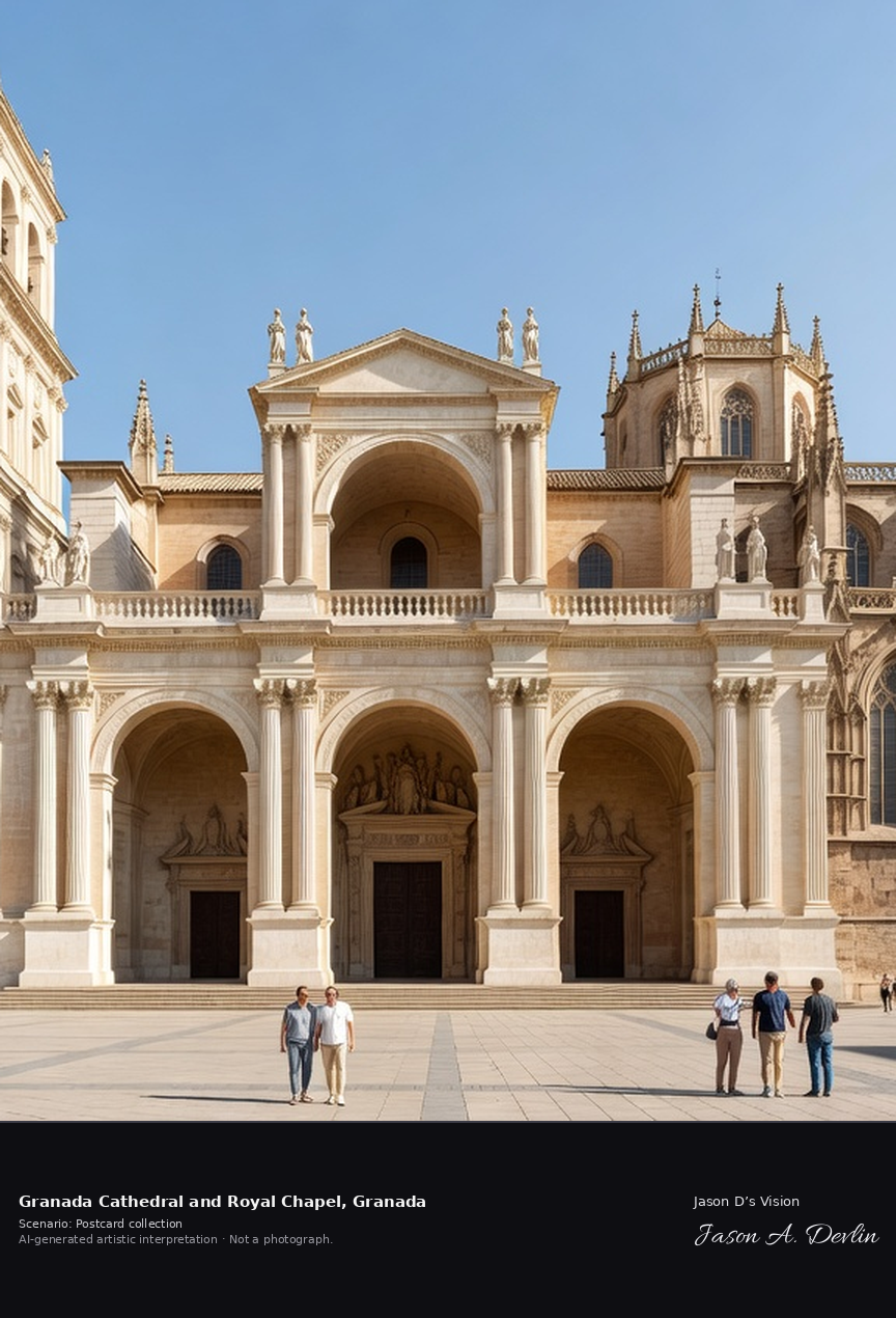
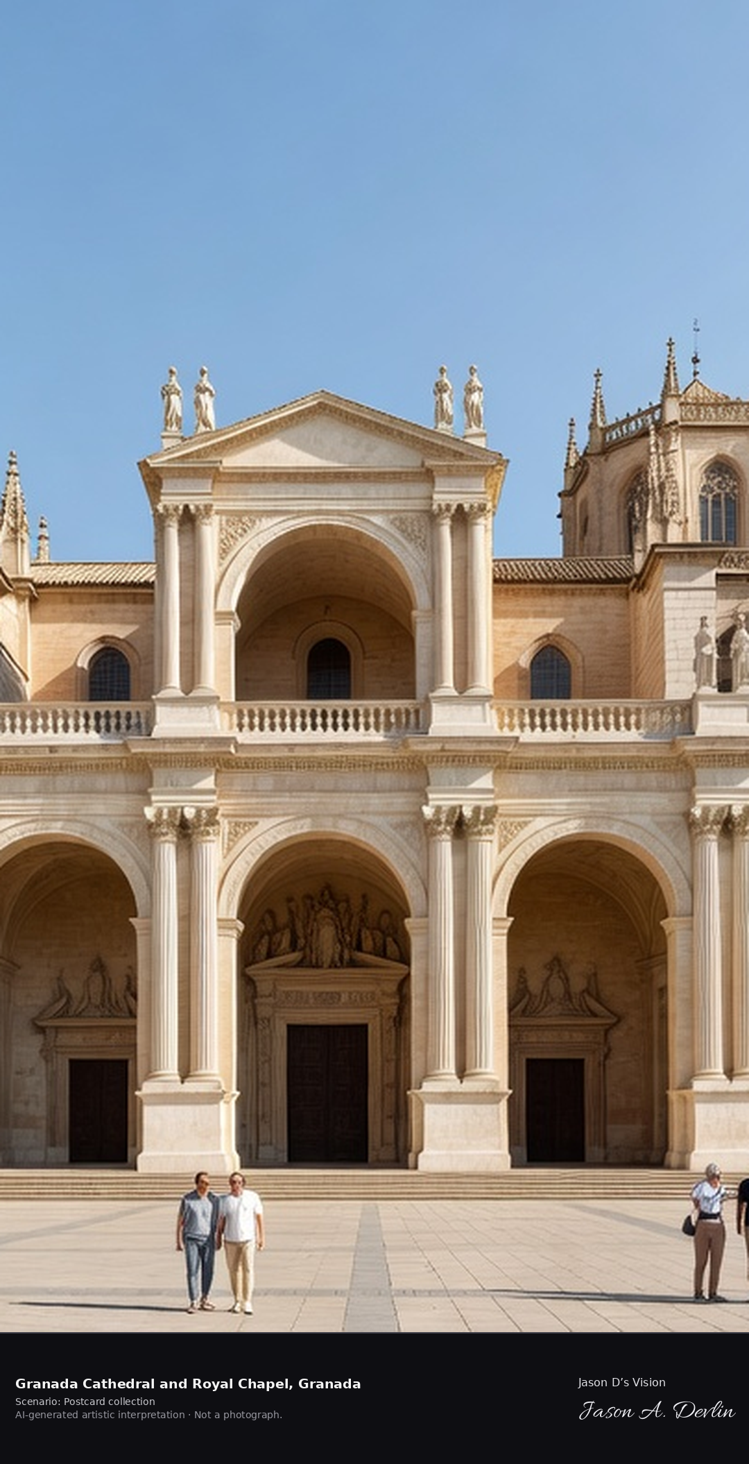
Granada Cathedral & Royal Chapel · AI-generated artistic interpretation
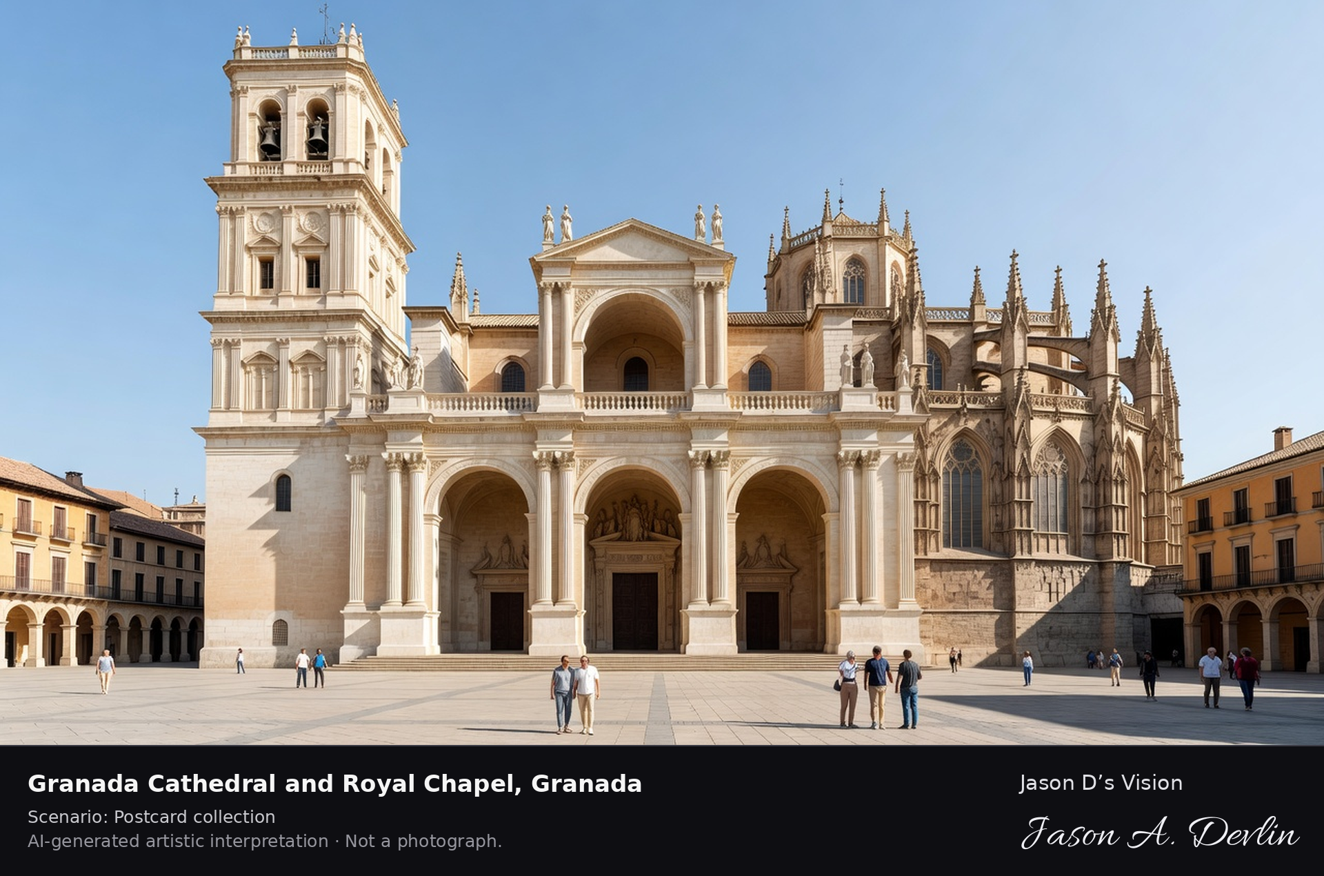
Granada Cathedral rises over Plaza de las Pasiegas in the old centre, its Renaissance body by Diego de Siloe fronted by Alonso Cano's Baroque facade of three great arches. Beside it the Royal Chapel, built in late Gothic style, holds the tombs of Ferdinand and Isabella, the Catholic Monarchs who took Granada in 1492. A fresh retrieval for this spot on 7 November 2026 recorded 14.8 °C, mainly clear (WMO code 1), cloud cover 78%, wind 5.8 km/h.
Postcard collection
Daylight
Viewpoint, conditions & editions
Plaza de las Pasiegas view: Alonso Cano's pale-stone Baroque facade with three great arches centred, single bell tower at the left, the Gothic Royal Chapel's buttresses and pinnacles at the side, people in the square. Reference-reported camera 37.176610 N, 3.598120 W; exact generated camera correspondence is unverified.
14.8°C, weather code 1 (mainly clear), cloud 78%, wind 5.8 km/h. Per-scene Open-Meteo retrieval 2026-11-07T19:24:35.746703+00:00 for the scene's own coordinates.
Downloads carry the finished label bar: caption, scenario and AI disclosure on the left, “Jason D’s Vision” with the script signature on the right.
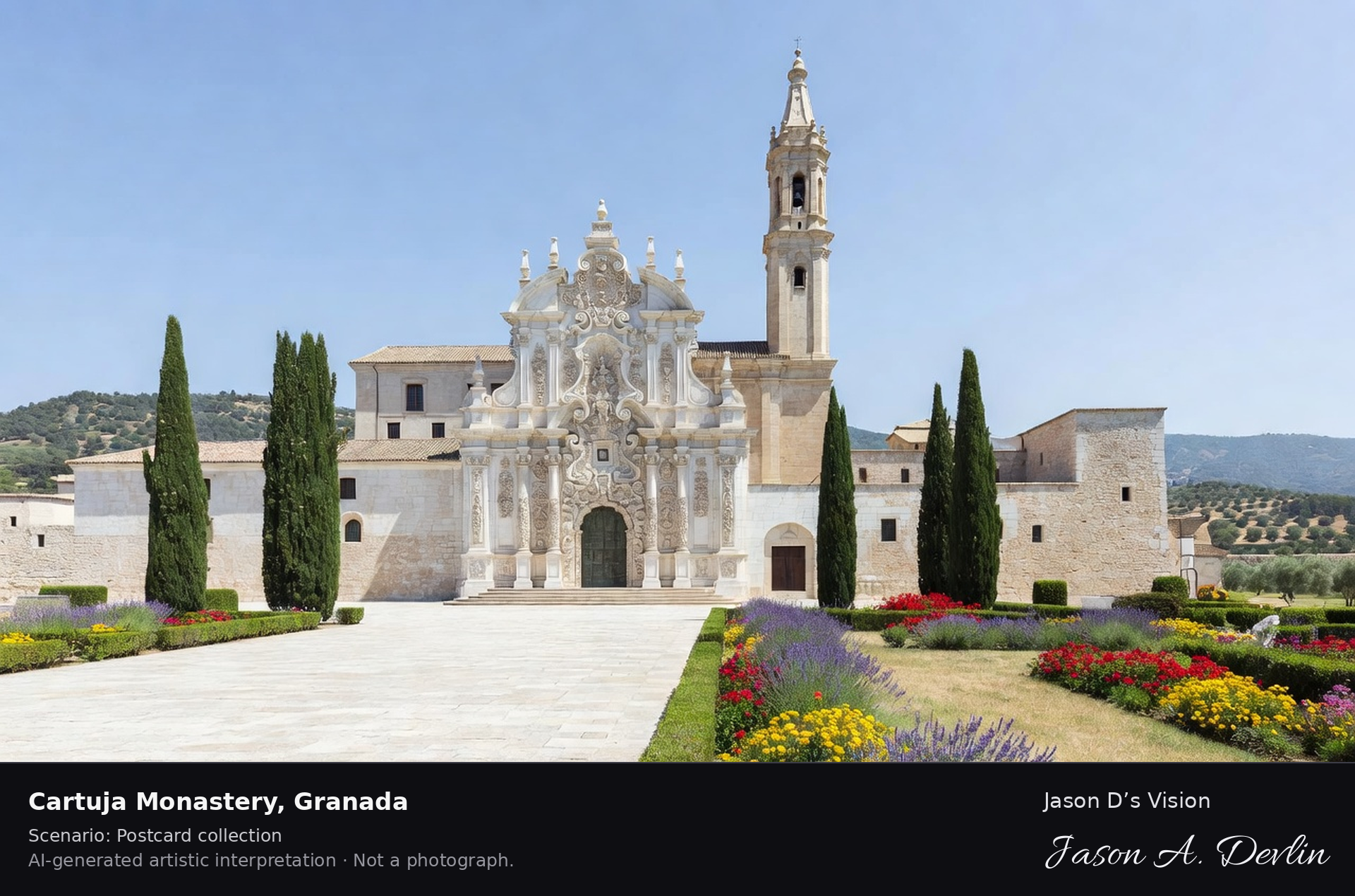
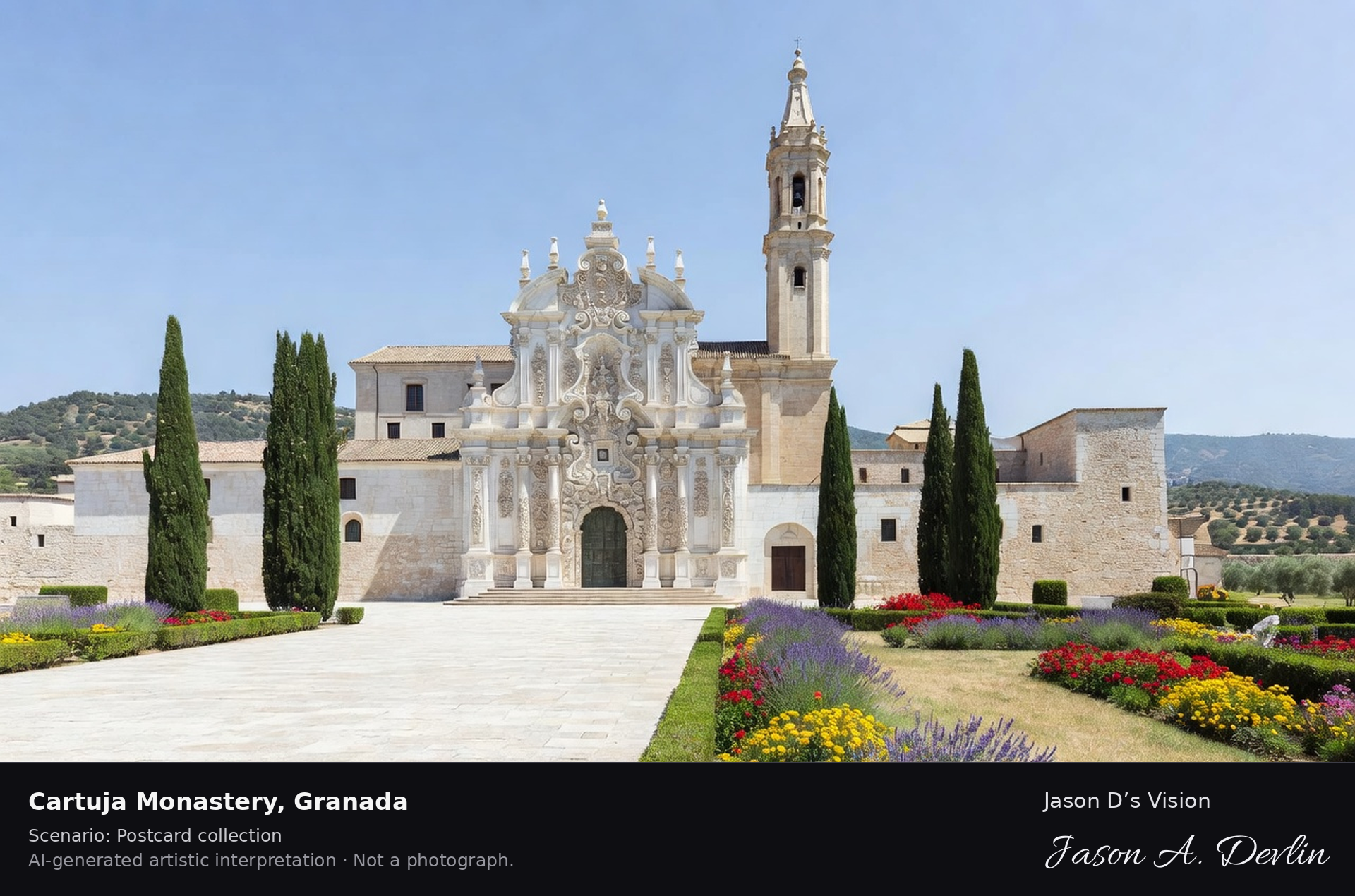
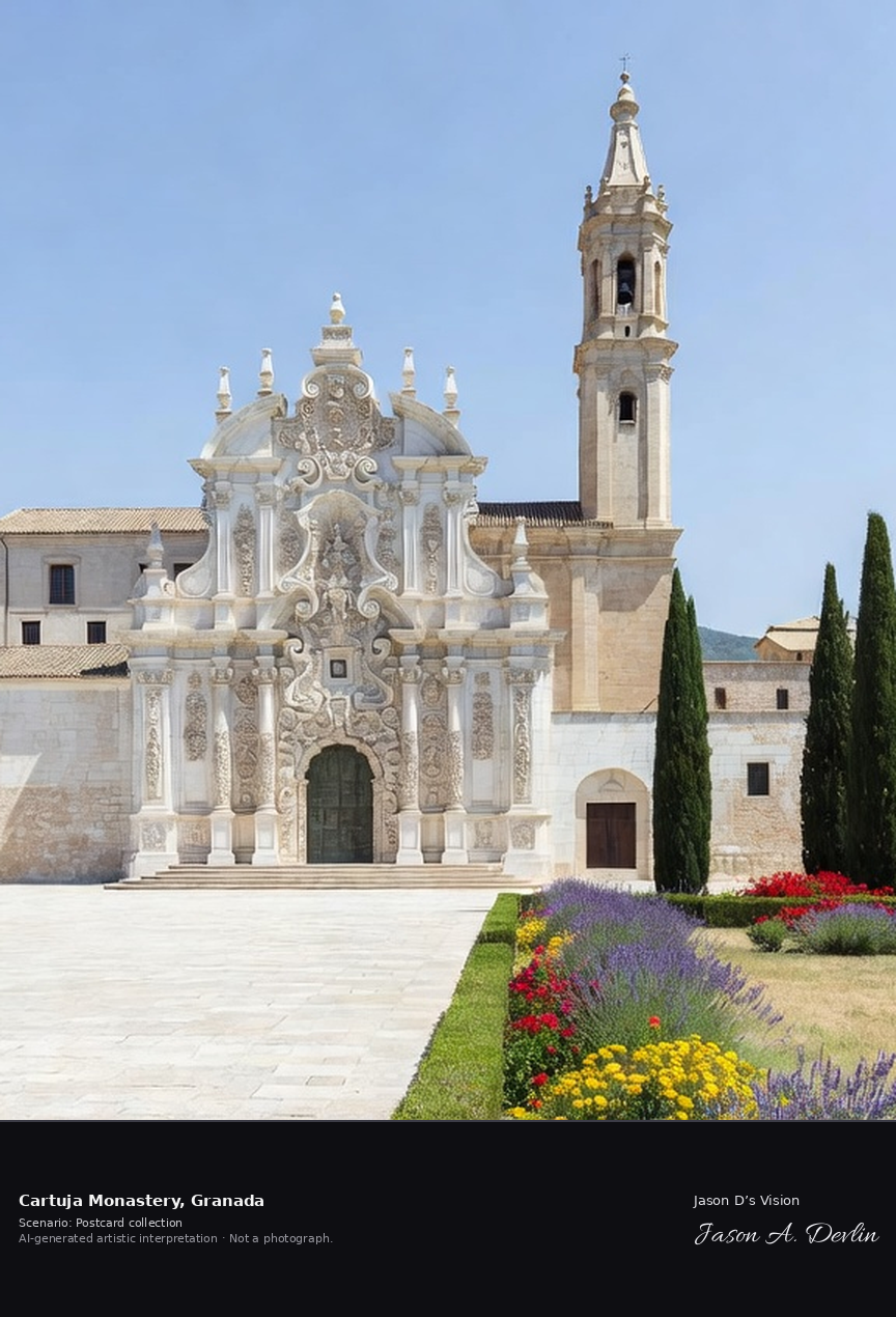
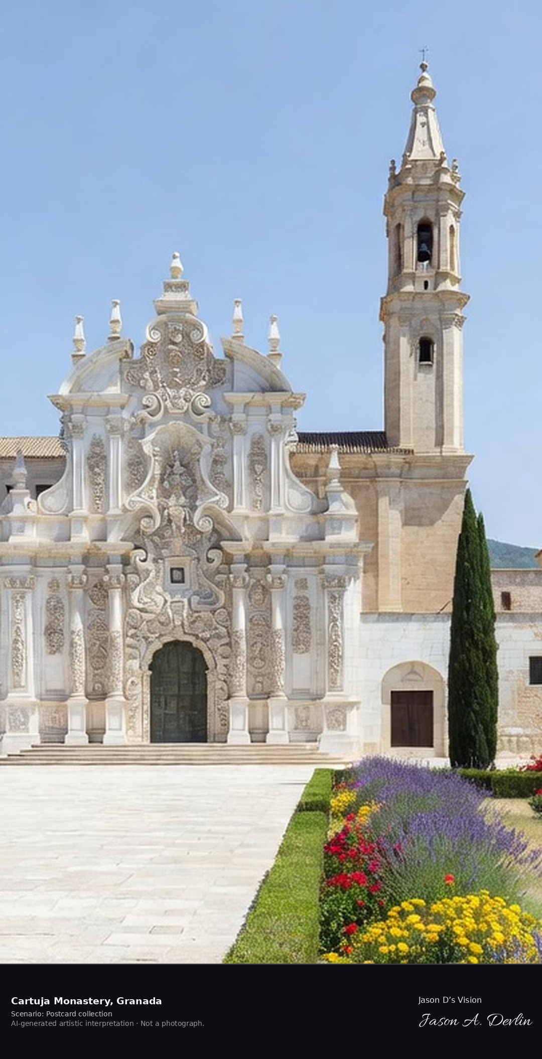
The Cartuja, Granada's Carthusian monastery, stands in gardens north of the old centre; its church looks plain from outside, but inside the sacristy and sanctuary are among the most exuberant works of Spanish Baroque. The monastery was founded in the early 16th century and its monks lived here in silence for three centuries. A fresh retrieval for this spot on 7 November 2026 recorded 14.7 °C, mainly clear (WMO code 1), cloud cover 78%, wind 5.8 km/h.
Postcard collection
Daylight
Viewpoint, conditions & editions
Church facade from the monastery grounds: white Baroque facade with a single slender tower, elaborate doorway, cypresses and gardens in front, Granada hills behind. Reference-reported camera 37.192590 N, 3.599960 W; exact generated camera correspondence is unverified.
14.7°C, weather code 1 (mainly clear), cloud 78%, wind 5.8 km/h. Per-scene Open-Meteo retrieval 2026-11-07T19:24:48.501833+00:00 for the scene's own coordinates.
Downloads carry the finished label bar: caption, scenario and AI disclosure on the left, “Jason D’s Vision” with the script signature on the right.
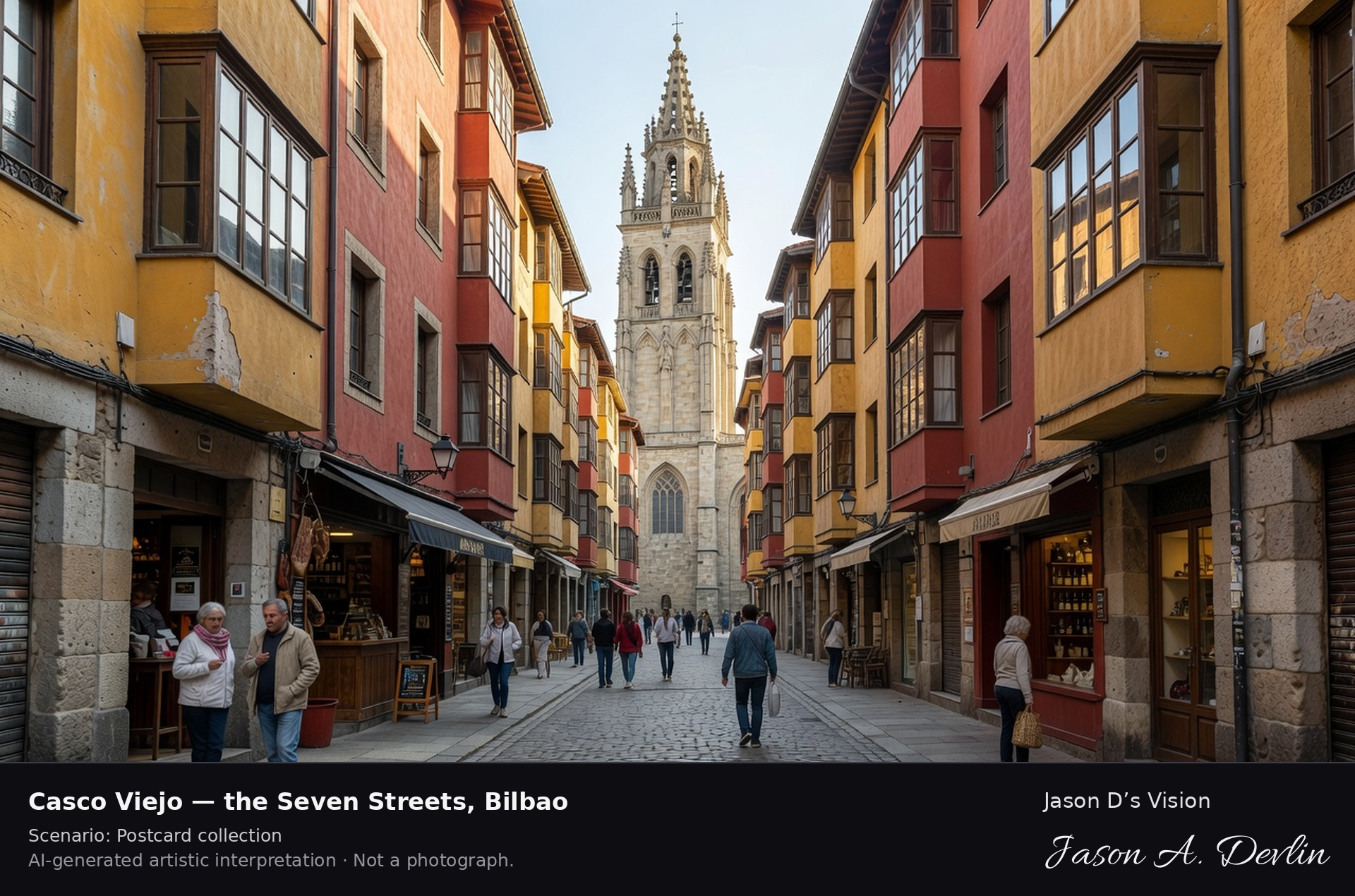
Casco Viejo — the Seven Streets · AI-generated artistic interpretation
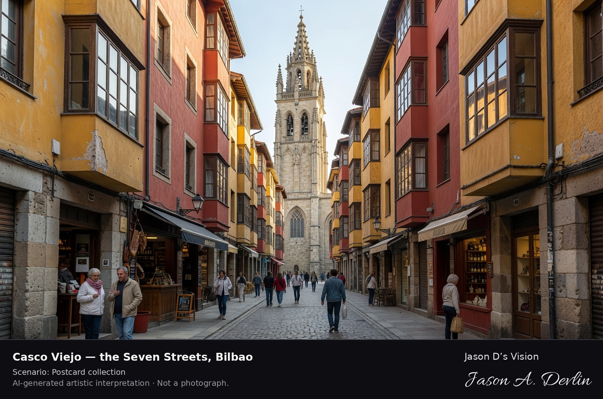
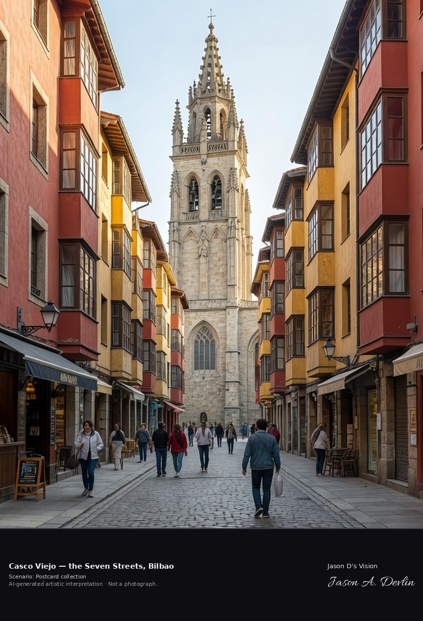
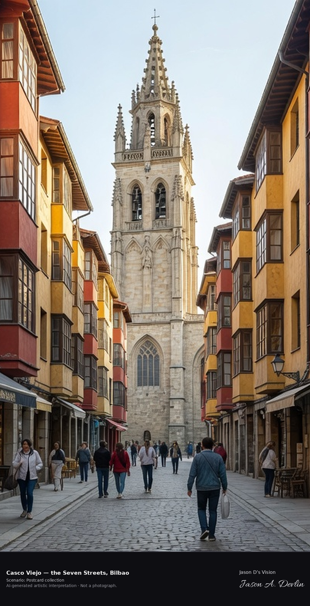
Bilbao's Casco Viejo is the medieval old town on the right bank of the Nervion, laid out as seven parallel streets — the Siete Calles — running toward Santiago Cathedral. Markets, pintxos bars and small shops fill the lanes, with the neoclassical Plaza Nueva and the Ribera market hall nearby. A fresh retrieval for this spot on 7 November 2026 recorded 14.9 °C, clear sky (WMO code 0), cloud cover 0%, wind 3.1 km/h.
Postcard collection
Daylight
Viewpoint, conditions & editions
One of the Seven Streets: narrow medieval lane of tall colourful houses with bay windows, looking toward the Gothic tower of Santiago Cathedral, small shops at street level, people strolling. Reference-reported camera 43.259600 N, 2.922510 W; exact generated camera correspondence is unverified.
14.9°C, weather code 0 (clear sky), cloud 0%, wind 3.1 km/h. Per-scene Open-Meteo retrieval 2026-11-07T19:25:01.442871+00:00 for the scene's own coordinates.
Downloads carry the finished label bar: caption, scenario and AI disclosure on the left, “Jason D’s Vision” with the script signature on the right.
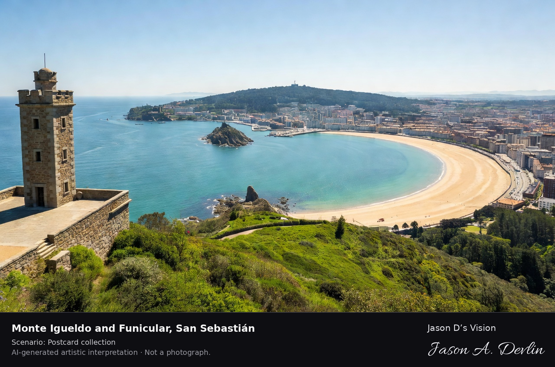
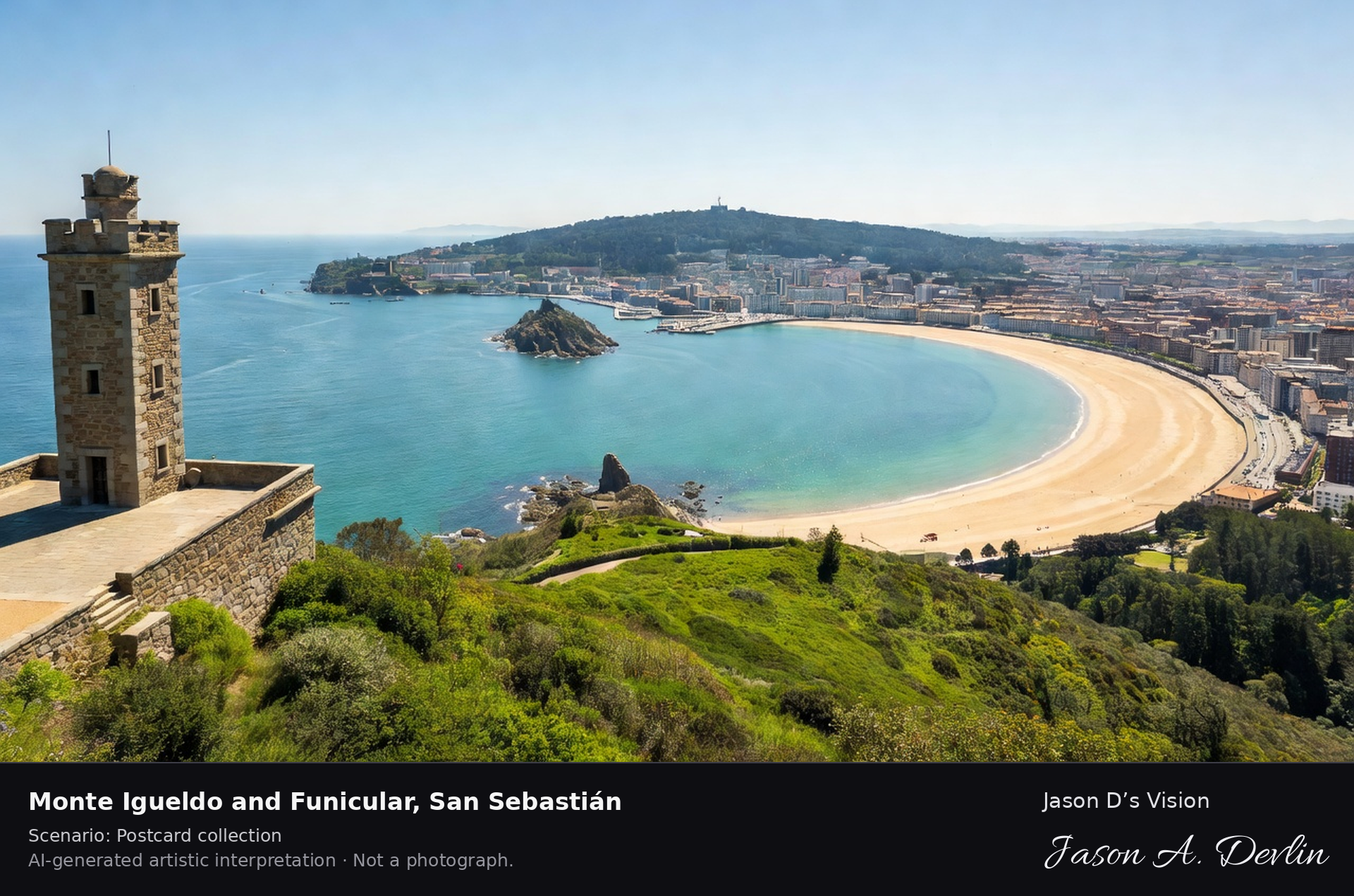
Monte Igueldo & funicular · AI-generated artistic interpretation
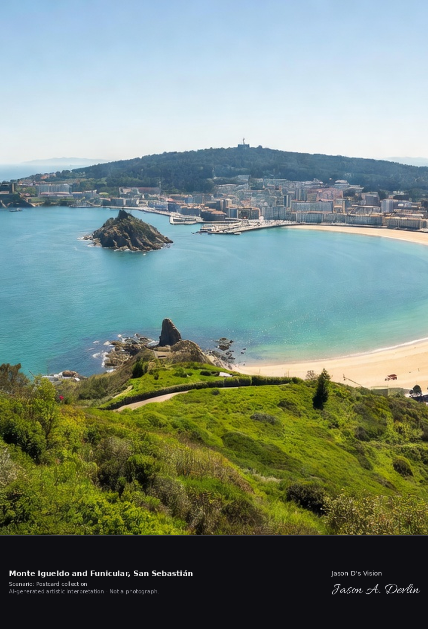
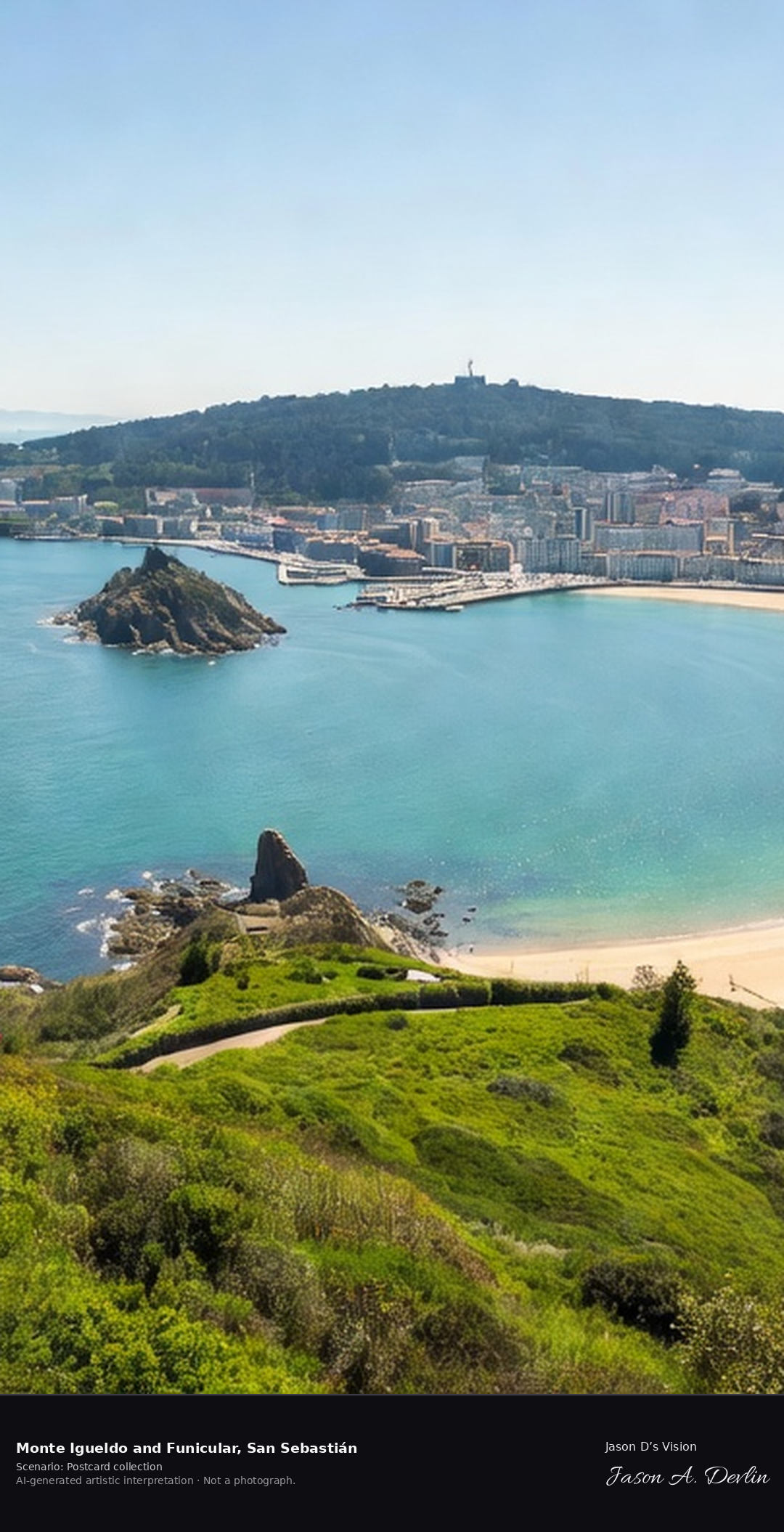
Monte Igueldo rises at the western end of La Concha Bay in San Sebastian, reached by the wooden carriages of the 1912 funicular. From its terrace and old lookout tower the whole crescent of the bay opens below: Santa Clara Island, the beaches of Ondarreta and La Concha, and Monte Urgull at the far end. A fresh retrieval for this spot on 7 November 2026 recorded 12.0 °C, clear sky (WMO code 0), cloud cover 0%, wind 5.0 km/h.
Postcard collection
Daylight
Viewpoint, conditions & editions
The classic postcard view FROM Monte Igueldo: terrace and stone lookout tower at the left, the sweeping crescent of La Concha Bay below with Santa Clara Island in the middle, Ondarreta beach below, the city and Monte Urgull at the far end, Atlantic beyond. Reference-reported camera 43.319220 N, 2.006240 W; exact generated camera correspondence is unverified.
12°C, weather code 0 (clear sky), cloud 0%, wind 5 km/h. Per-scene Open-Meteo retrieval 2026-11-07T19:25:14.357277+00:00 for the scene's own coordinates.
Downloads carry the finished label bar: caption, scenario and AI disclosure on the left, “Jason D’s Vision” with the script signature on the right.
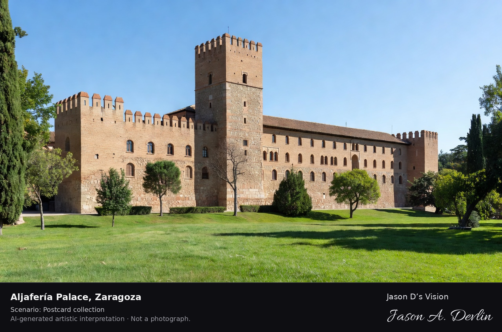
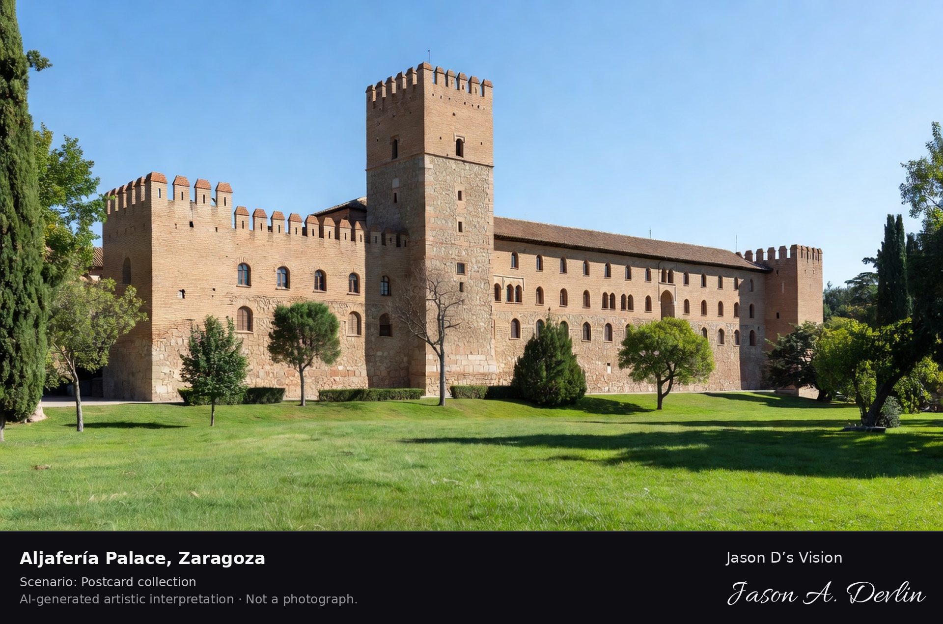
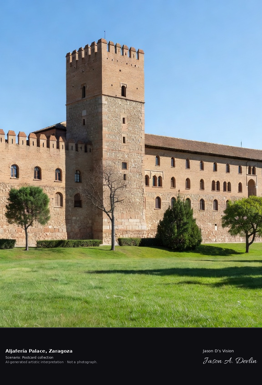
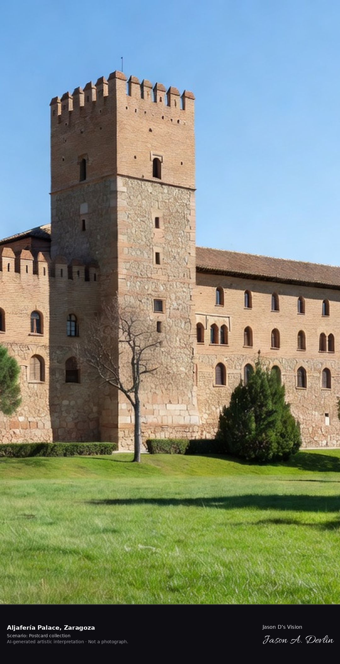
The Aljaferia is the fortified palace built in the 11th century for the taifa kings of Zaragoza, with the Torre del Trovador at its heart. Later home to the kings of Aragon and now seat of the Aragonese parliament, its Islamic courtyards and carved plasterwork survive inside the crenellated walls. A fresh retrieval for this spot on 7 November 2026 recorded 14.5 °C, partly cloudy (WMO code 2), cloud cover 61%, wind 2.5 km/h.
Postcard collection
Daylight
Viewpoint, conditions & editions
Fortified palace from its park: long crenellated brick-and-stone walls, the tall square Torre del Trovador rising at one end, horseshoe-arched entrance, lawns and trees in front, moat gardens. Reference-reported camera 41.656700 N, 0.896470 W; exact generated camera correspondence is unverified.
14.5°C, weather code 2 (partly cloudy), cloud 61%, wind 2.5 km/h. Per-scene Open-Meteo retrieval 2026-11-07T19:25:27.009060+00:00 for the scene's own coordinates.
Downloads carry the finished label bar: caption, scenario and AI disclosure on the left, “Jason D’s Vision” with the script signature on the right.
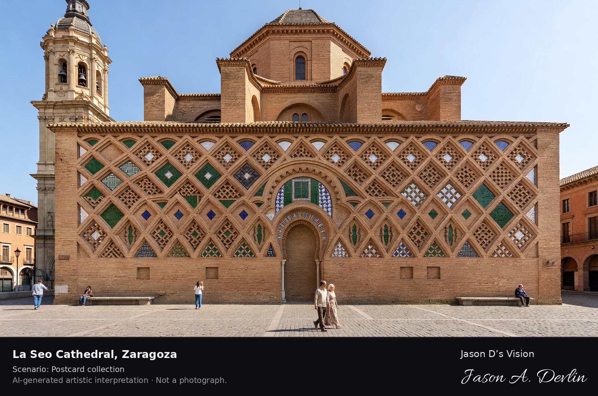
La Seo Cathedral · AI-generated artistic interpretation
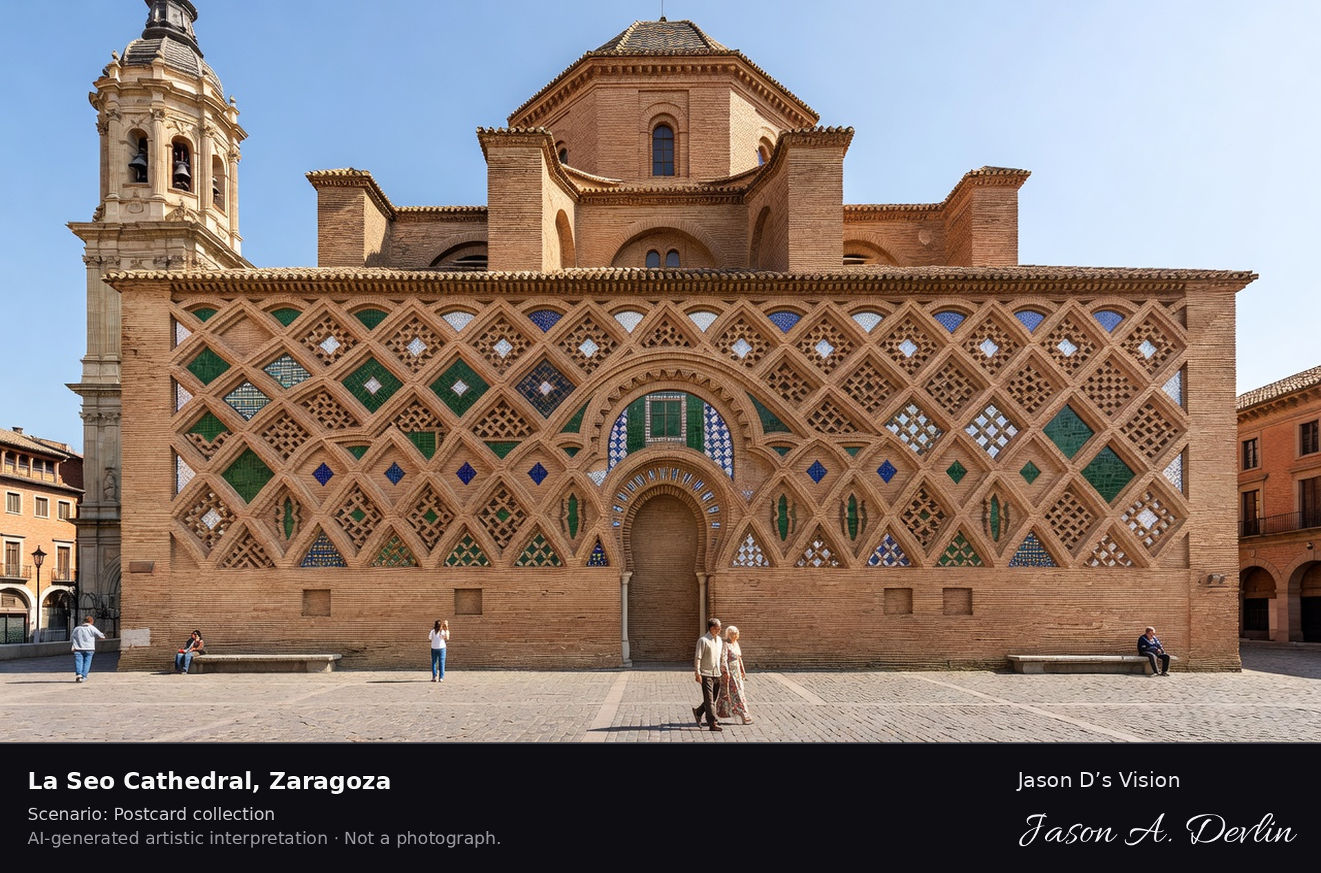
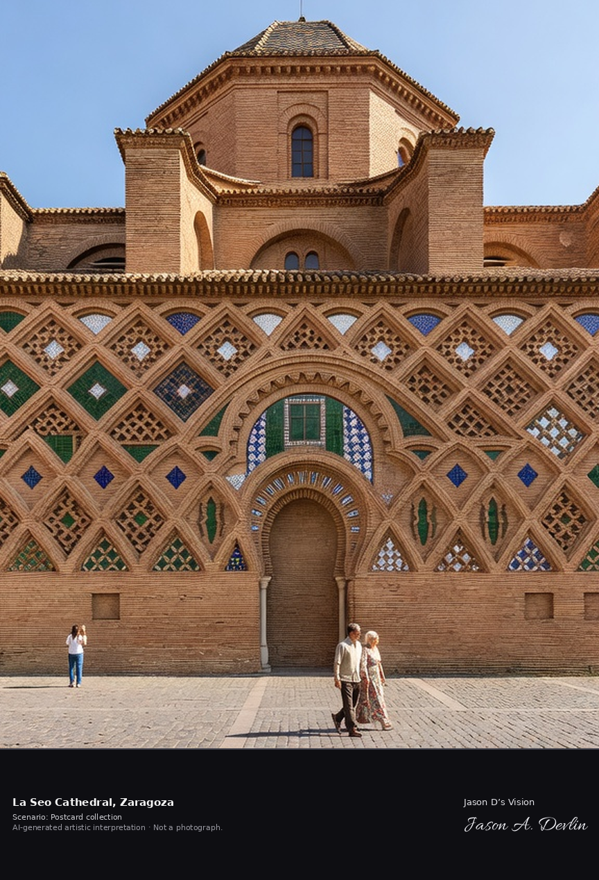
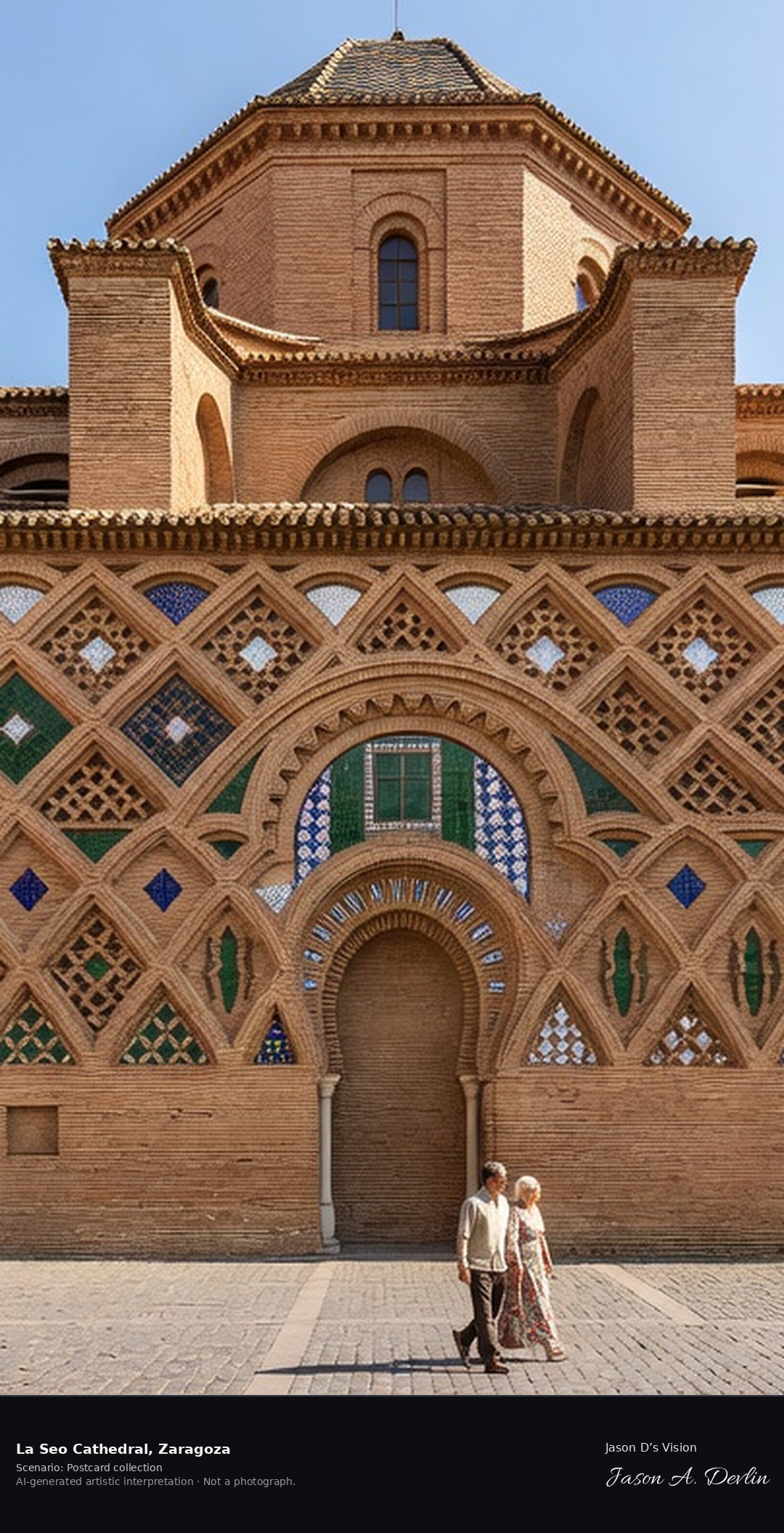
La Seo, Zaragoza's cathedral of El Salvador, stands at the eastern end of the Plaza del Pilar on the site of the Roman forum and the city's great mosque. Its exterior Mudejar wall of patterned brick and glazed ceramic tiles, its octagonal dome and its Baroque tower layer five centuries of styles into one building; the Mudejar work is UNESCO-listed. A fresh retrieval for this spot on 7 November 2026 recorded 14.5 °C, partly cloudy (WMO code 2), cloud cover 61%, wind 2.5 km/h.
Postcard collection
Daylight
Viewpoint, conditions & editions
La Seo from Plaza de la Seo / San Bruno side: the famous Mudejar apse wall of patterned brick and colourful glazed ceramic tiles centred, octagonal Mudejar cimborio dome, tall Baroque bell tower at the side, plaza in front. Reference-reported camera 41.655110 N, 0.875760 W; exact generated camera correspondence is unverified.
14.5°C, weather code 2 (partly cloudy), cloud 61%, wind 2.5 km/h. Per-scene Open-Meteo retrieval 2026-11-07T19:25:40.686411+00:00 for the scene's own coordinates.
Downloads carry the finished label bar: caption, scenario and AI disclosure on the left, “Jason D’s Vision” with the script signature on the right.
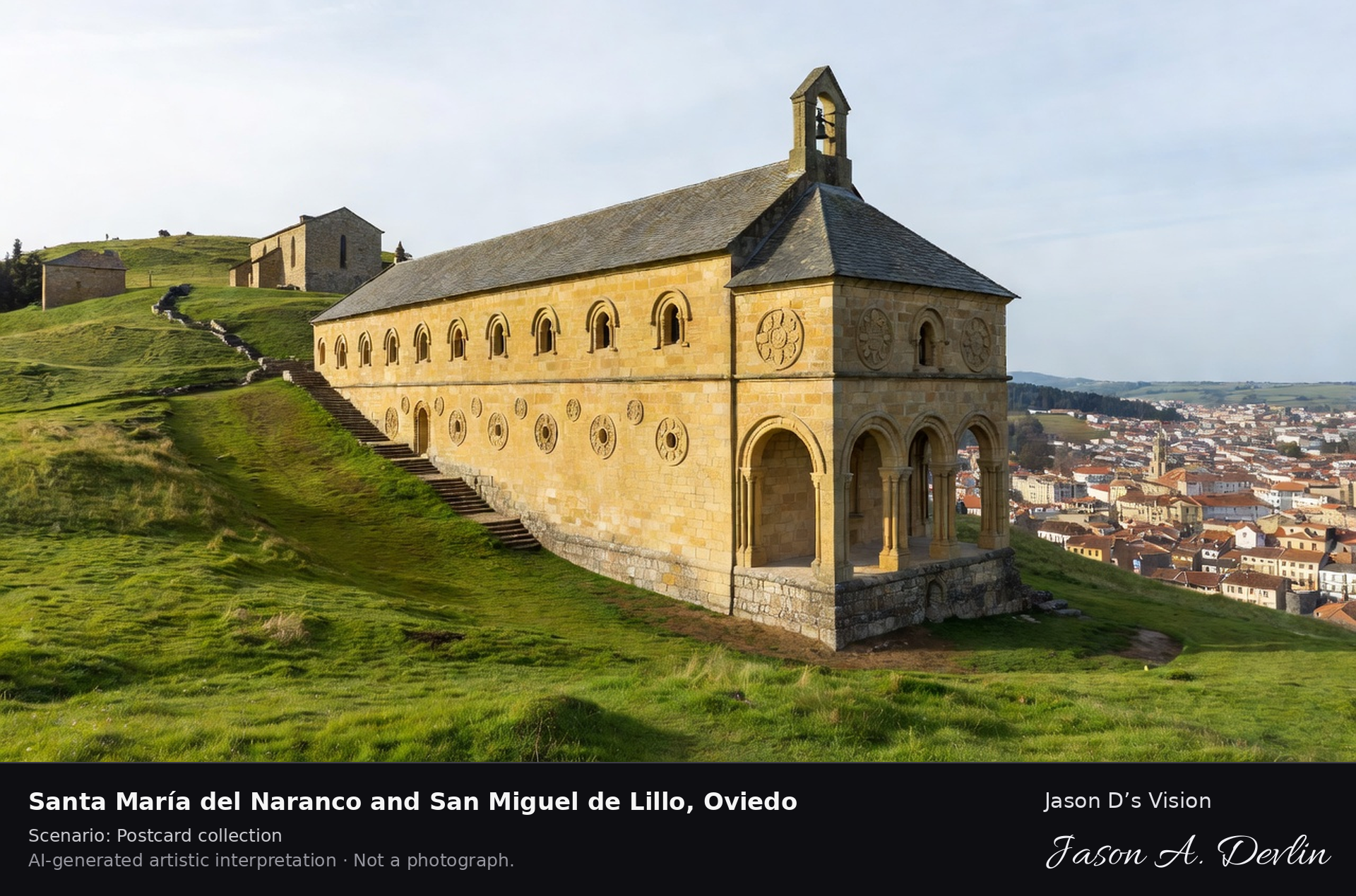
Santa María del Naranco and San Miguel de Lillo, Oviedo
Santa María del Naranco & San Miguel de Lillo · AI-generated artistic interpretation
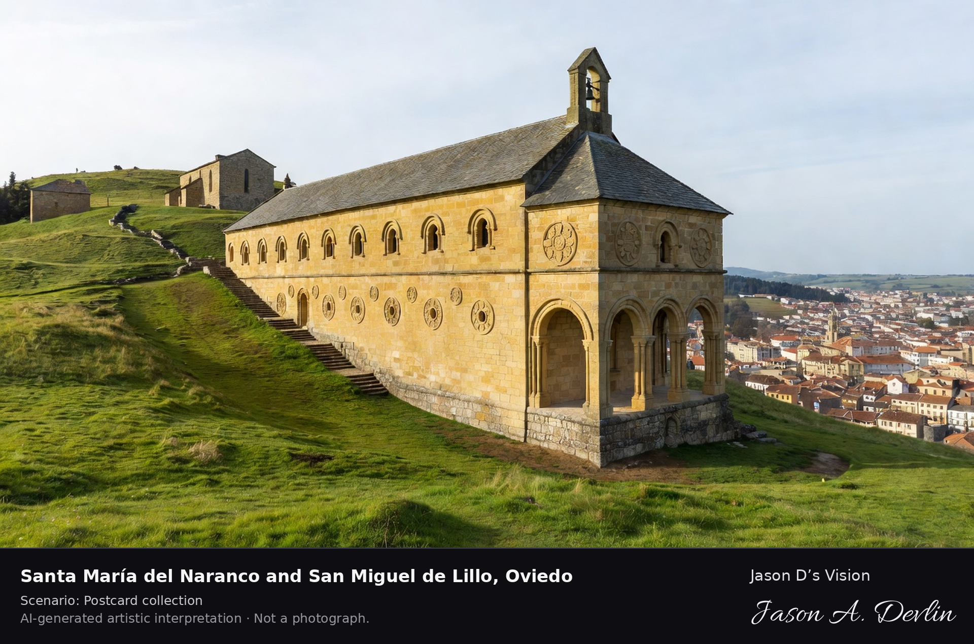
On the green slope of Monte Naranco above Oviedo stand two 9th-century buildings of King Ramiro I: Santa Maria del Naranco, a two-storey royal hall later made a church, and the church of San Miguel de Lillo a short walk up the hill. Their Asturian pre-Romanesque architecture is unique in Europe and UNESCO-listed. A fresh retrieval for this spot on 7 November 2026 recorded 10.9 °C, mainly clear (WMO code 1), cloud cover 34%, wind 5.6 km/h.
Postcard collection
Daylight
Viewpoint, conditions & editions
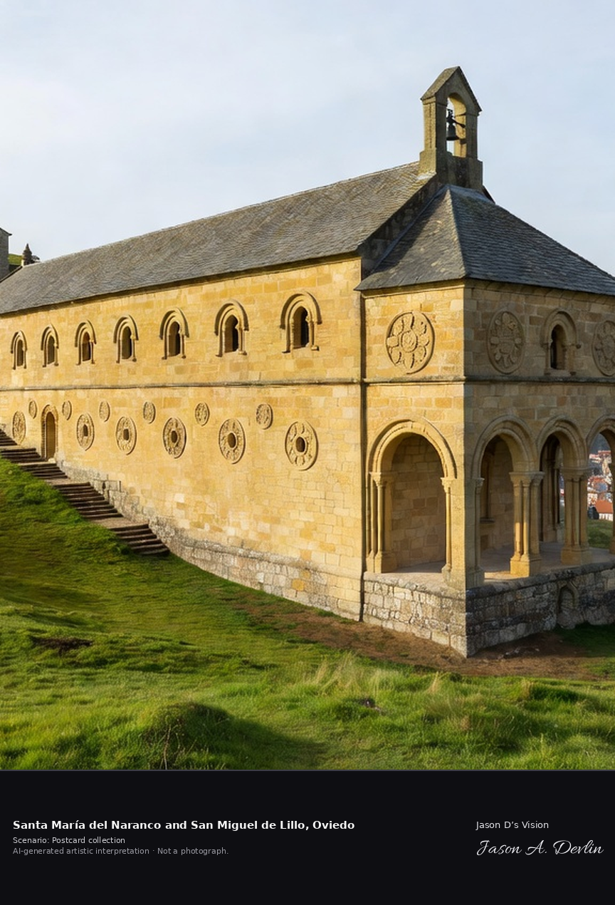
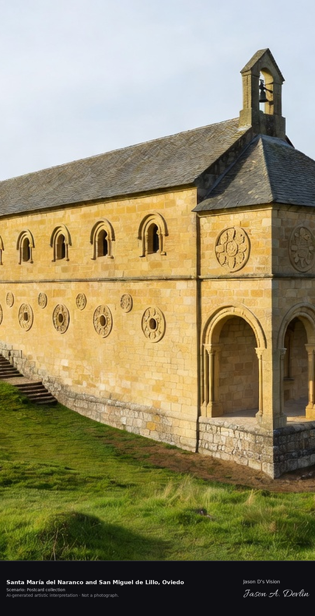
Santa Maria del Naranco in the foreground on the green hillside: two-storey golden-stone rectangular hall with open arcaded loggias at both ends, external stair, small bell gable; San Miguel de Lillo's smaller stone church up the slope behind; Oviedo in the valley below. Reference-reported camera 43.379010 N, 5.865870 W; exact generated camera correspondence is unverified.
10.9°C, weather code 1 (mainly clear), cloud 34%, wind 5.6 km/h. Per-scene Open-Meteo retrieval 2026-11-07T19:25:54.261366+00:00 for the scene's own coordinates.
Downloads carry the finished label bar: caption, scenario and AI disclosure on the left, “Jason D’s Vision” with the script signature on the right.
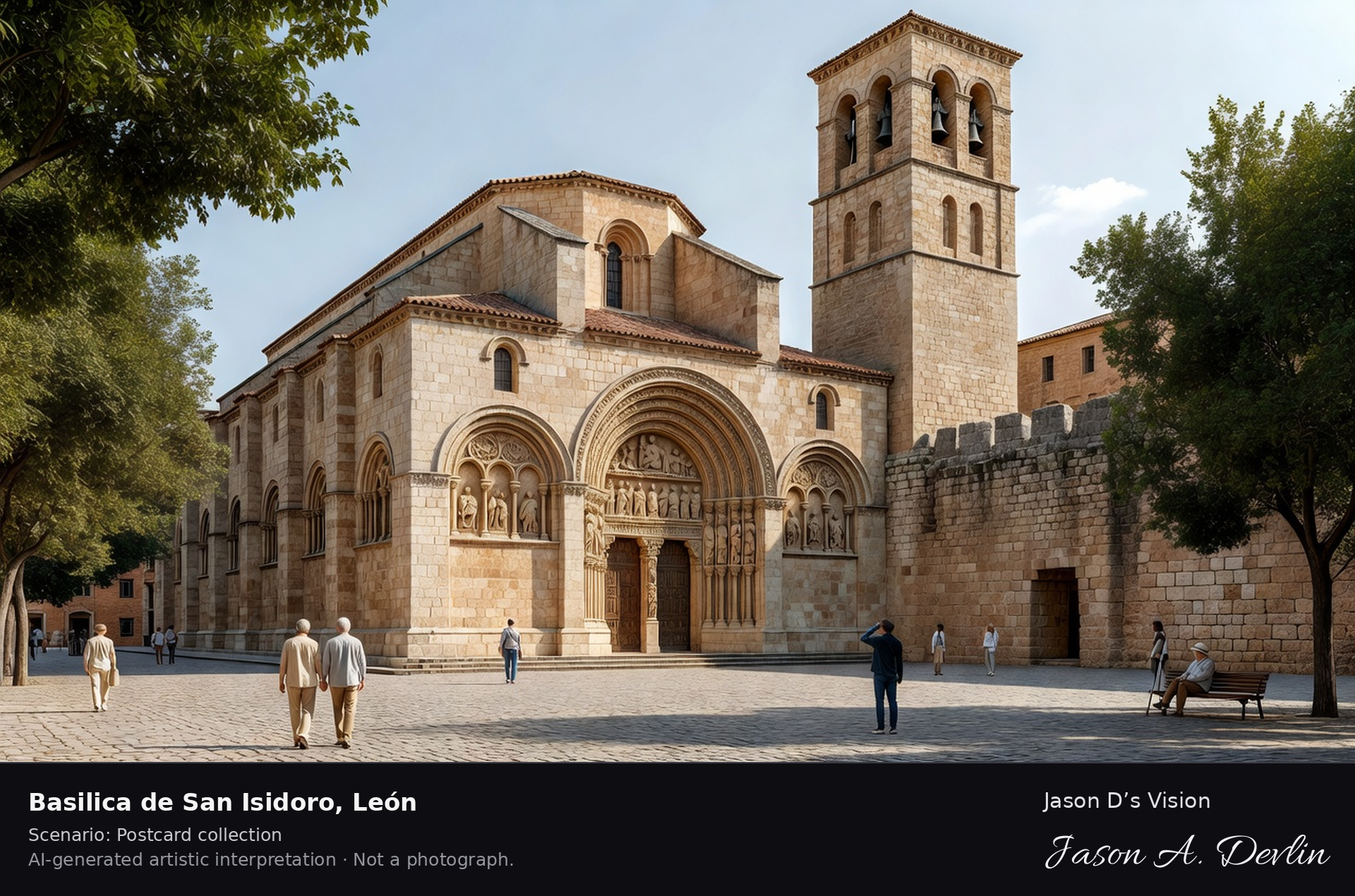
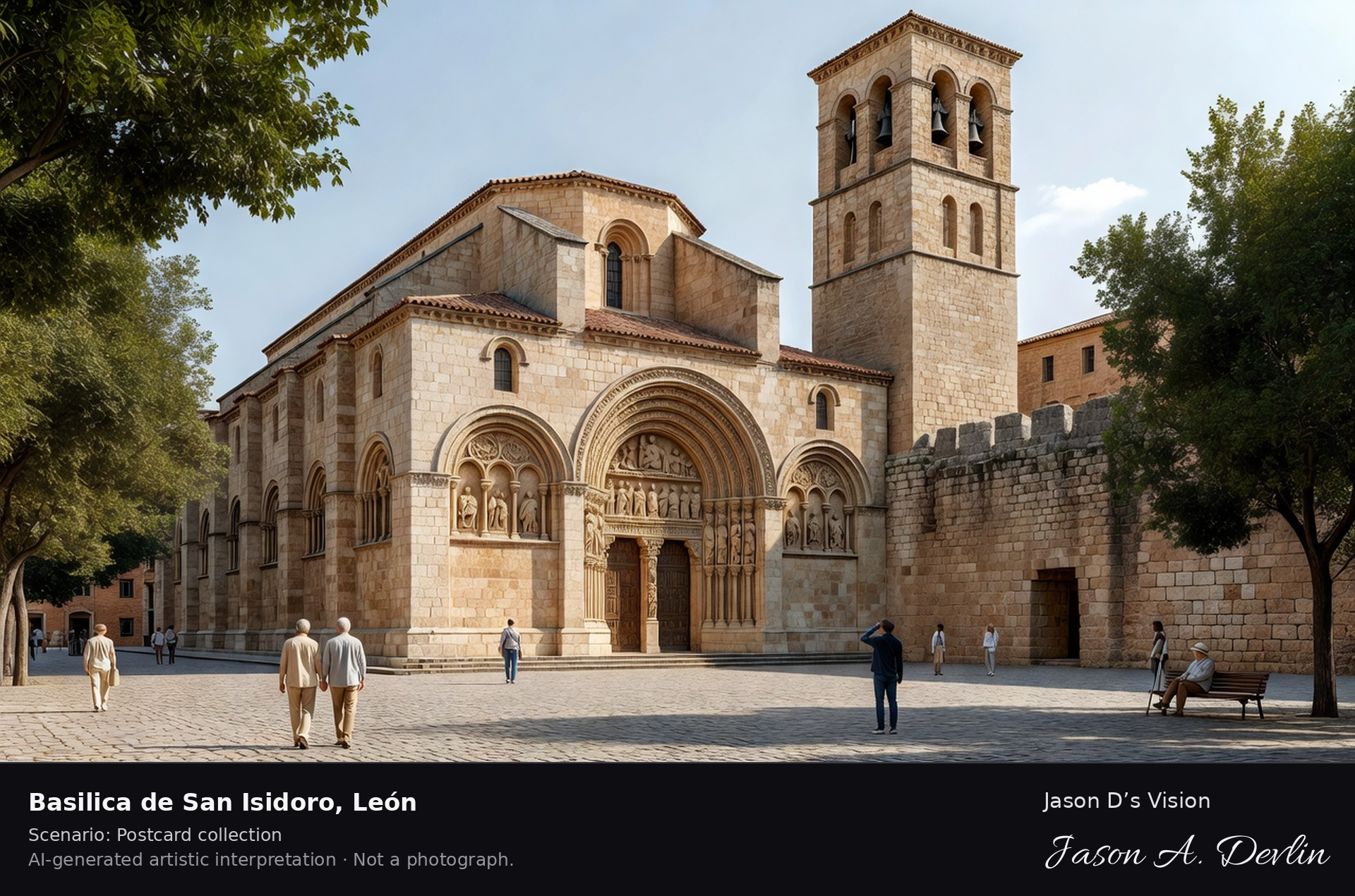
Basilica de San Isidoro · AI-generated artistic interpretation
San Isidoro is Leon's great Romanesque basilica, built over the Roman walls and consecrated in 1063. Its royal pantheon holds the tombs of the kings of Leon beneath painted vaults often called the Sistine Chapel of Romanesque painting, and its treasury keeps the Chalice of Dona Urraca. A fresh retrieval for this spot on 7 November 2026 recorded 12.3 °C, overcast (WMO code 3), cloud cover 90%, wind 3.4 km/h.
Postcard collection
Daylight
Viewpoint, conditions & editions
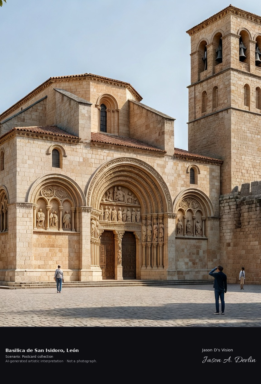
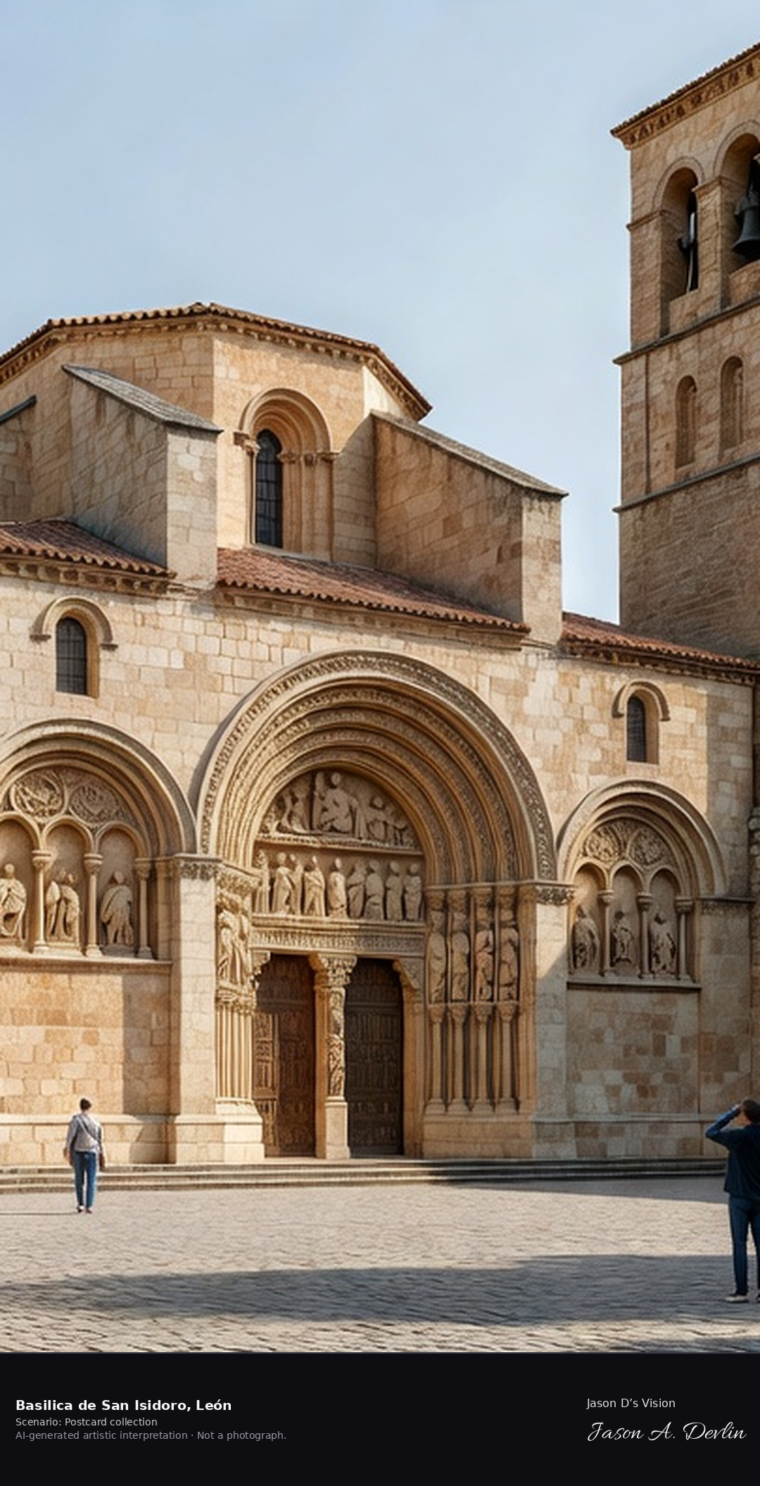
Basilica from Plaza San Isidoro: warm stone Romanesque south facade centred, carved south portal, one square Romanesque tower with arched openings, old town houses and plaza trees around. Reference-reported camera 42.600580 N, 5.570240 W; exact generated camera correspondence is unverified.
12.3°C, weather code 3 (overcast), cloud 90%, wind 3.4 km/h. Per-scene Open-Meteo retrieval 2026-11-07T19:26:07.244920+00:00 for the scene's own coordinates.
Downloads carry the finished label bar: caption, scenario and AI disclosure on the left, “Jason D’s Vision” with the script signature on the right.
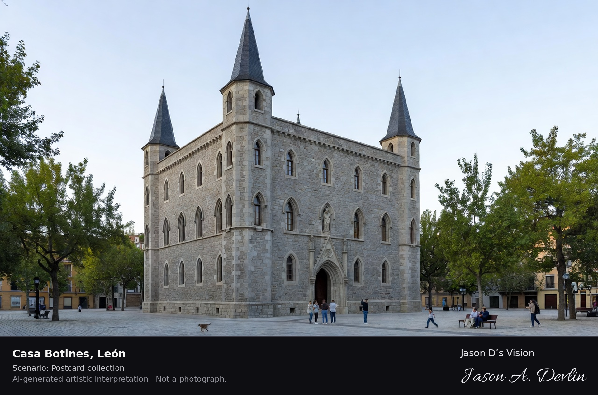
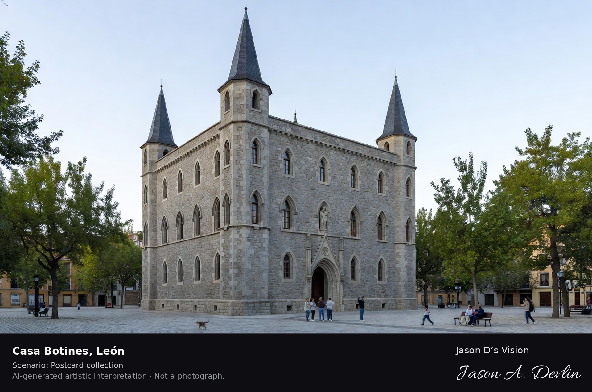
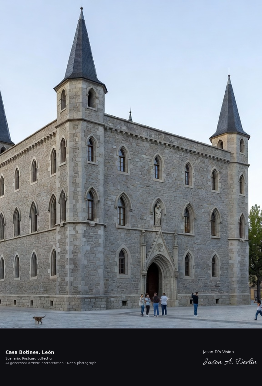
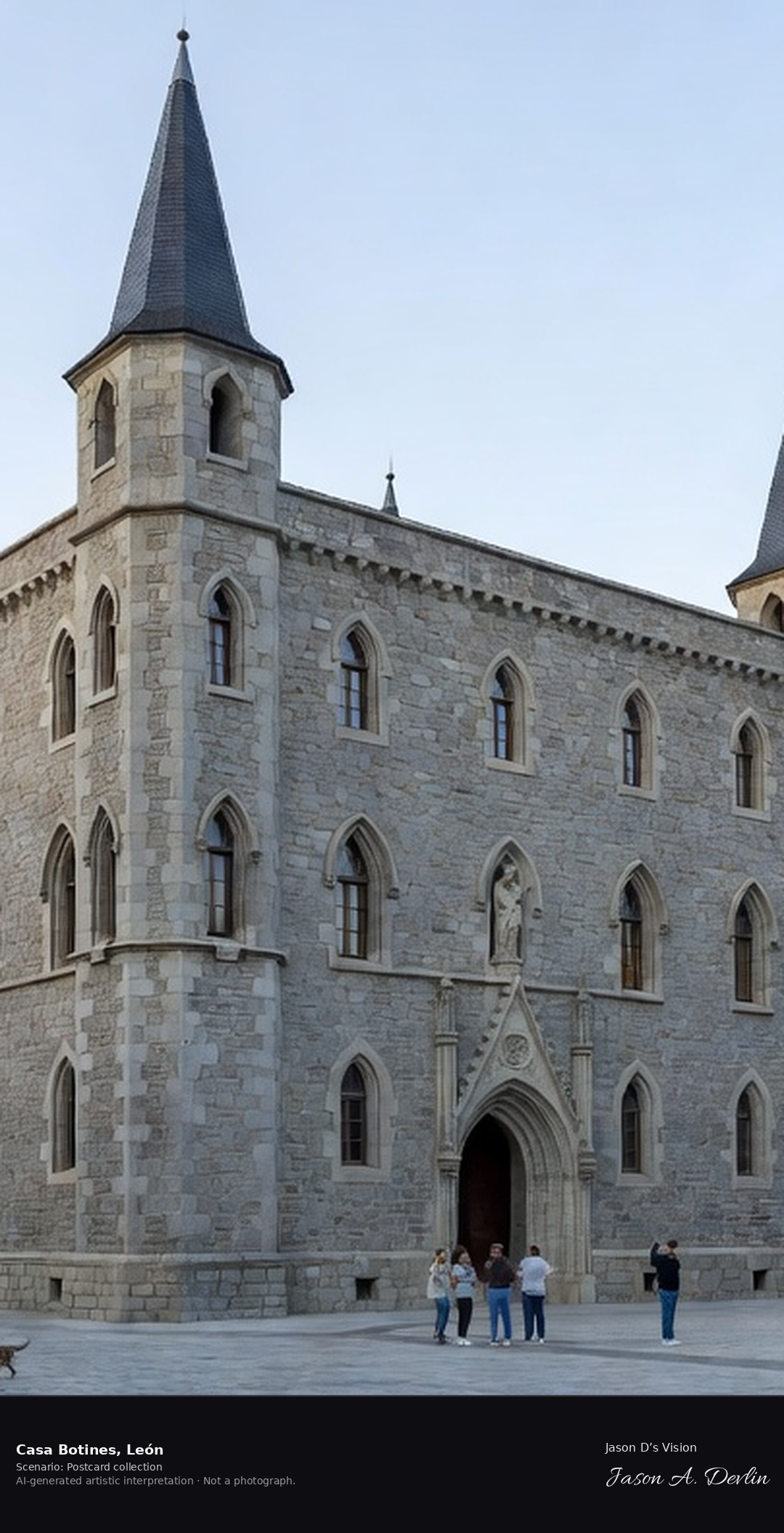
Casa Botines · AI-generated artistic interpretation
Casa Botines is the neo-Gothic palace Antoni Gaudi built in Leon in 1891-92 for the Botines textile merchants, one of only three Gaudi buildings outside Catalonia. Its grey stone walls, slate spires and fortress-like turrets now house a museum devoted to Gaudi and the building's history. A fresh retrieval for this spot on 7 November 2026 recorded 12.4 °C, overcast (WMO code 3), cloud cover 90%, wind 3.4 km/h.
Postcard collection
Daylight
Viewpoint, conditions & editions
Casa Botines from Plaza de San Marcelo: grey stone neo-Gothic palace centred, four corner turrets with steep slate spires, pointed-arch windows, wrought iron dragon-like detailing, the statue of the seated Gaudi on a bench in front. Reference-reported camera 42.598360 N, 5.570550 W; exact generated camera correspondence is unverified.
12.4°C, weather code 3 (overcast), cloud 90%, wind 3.4 km/h. Per-scene Open-Meteo retrieval 2026-11-07T19:26:20.337099+00:00 for the scene's own coordinates.
Downloads carry the finished label bar: caption, scenario and AI disclosure on the left, “Jason D’s Vision” with the script signature on the right.
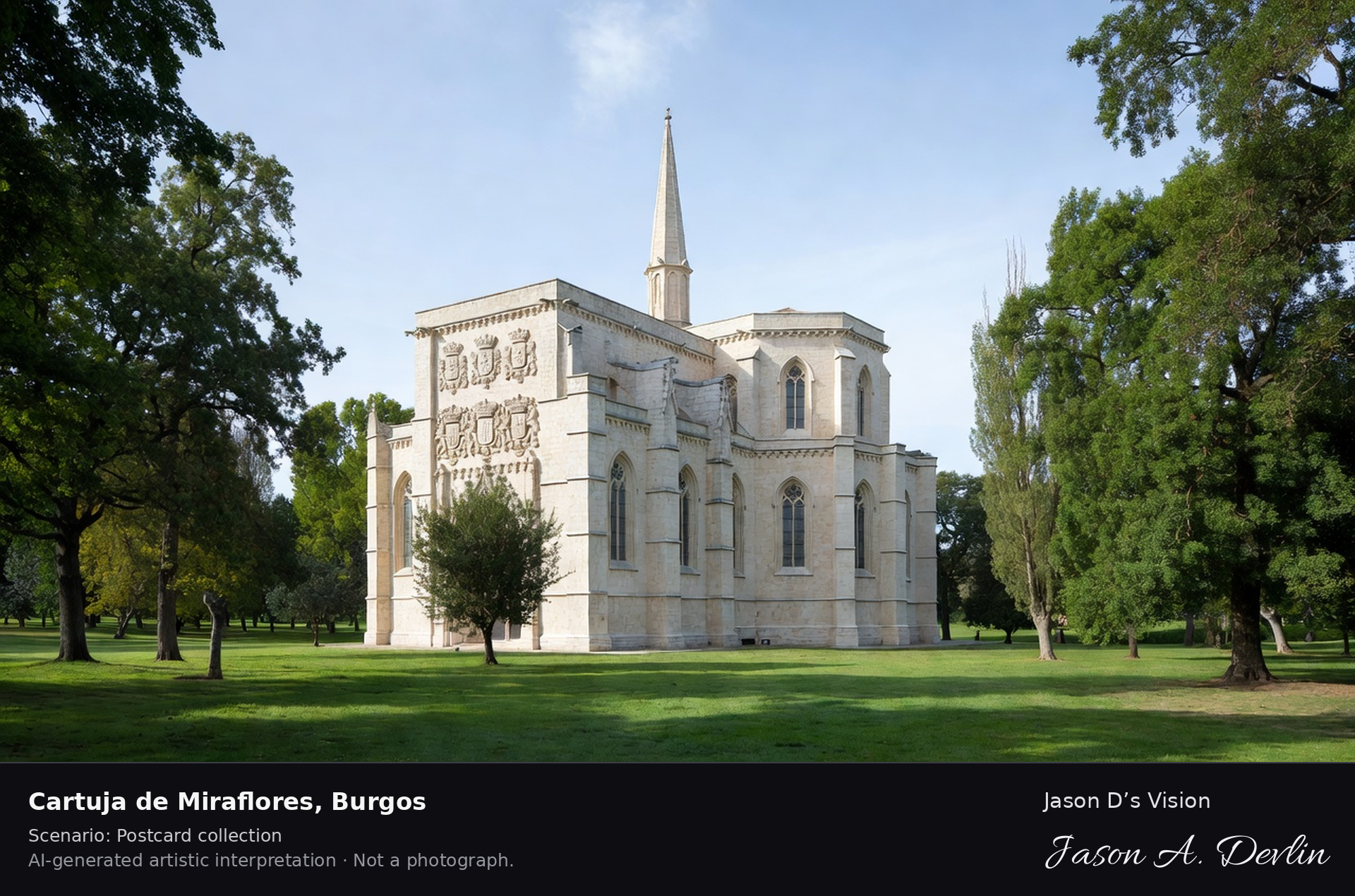
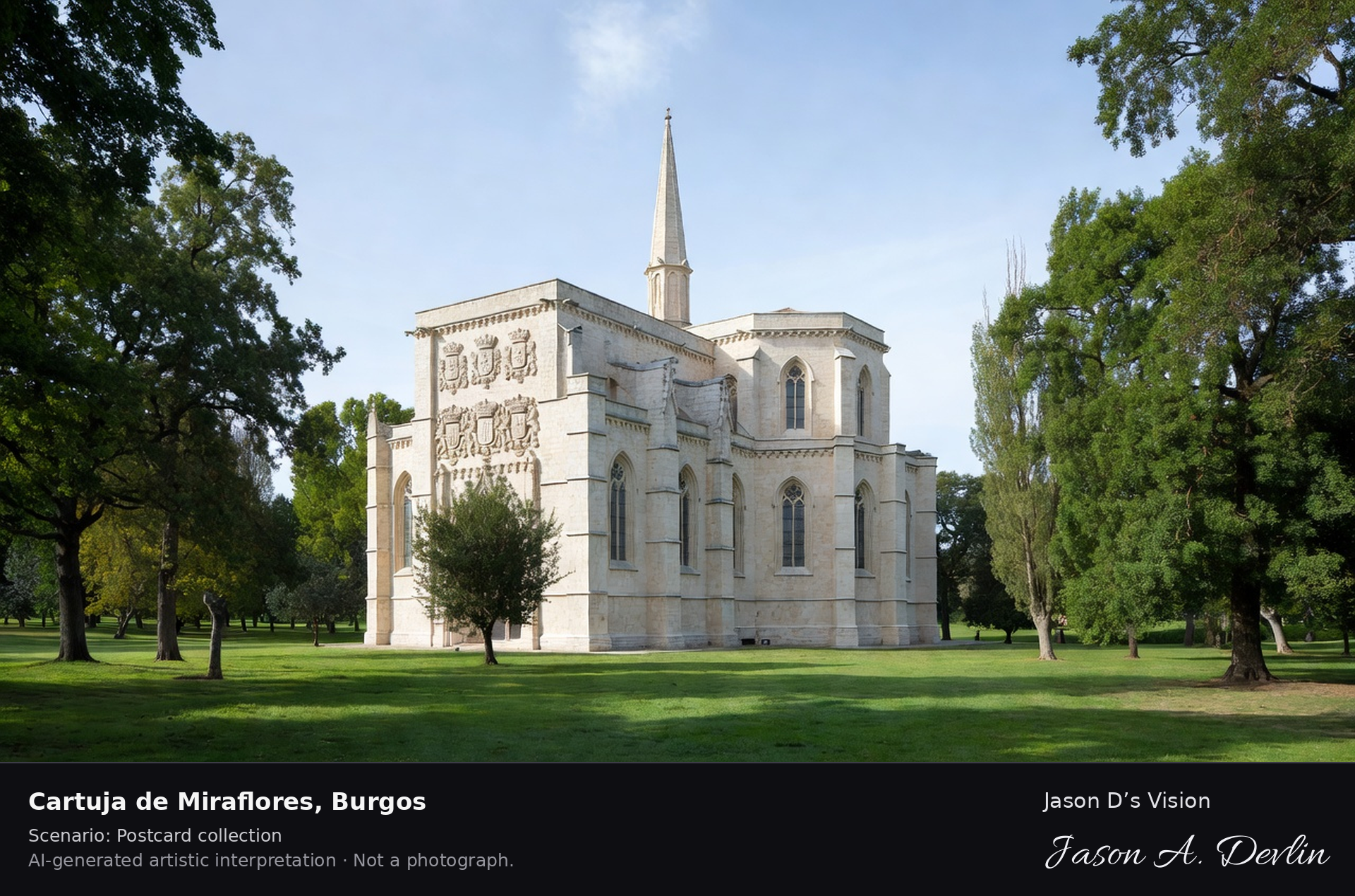
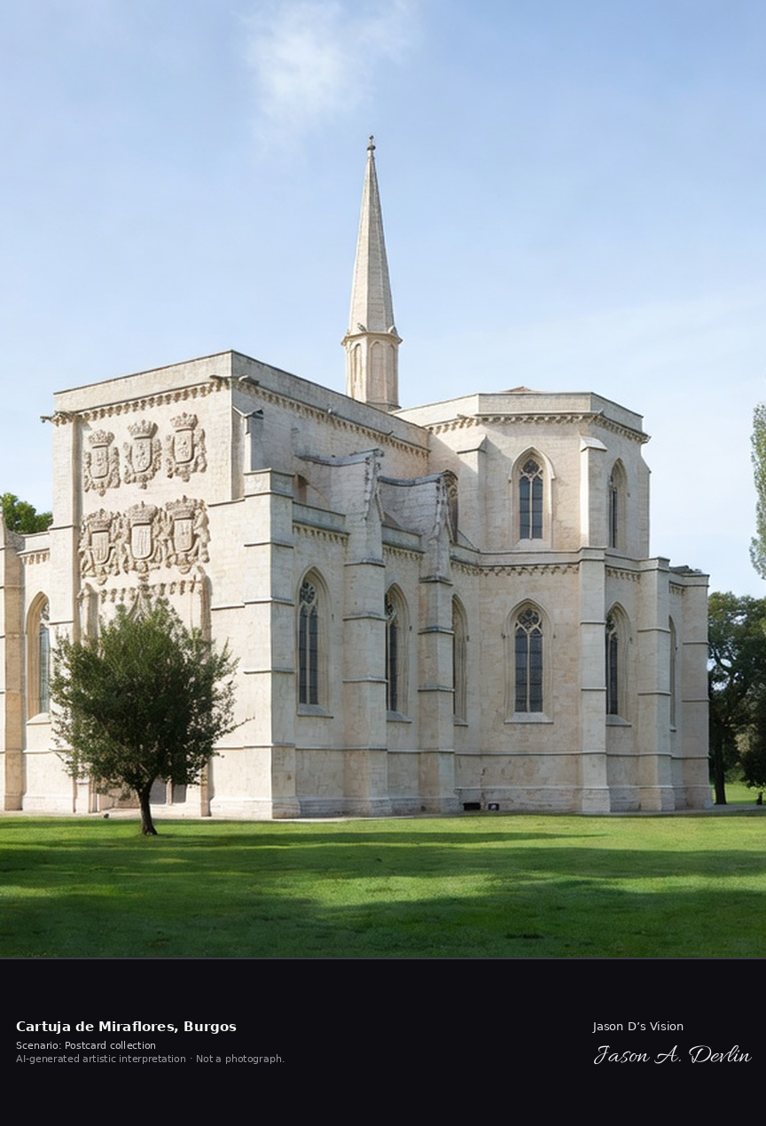
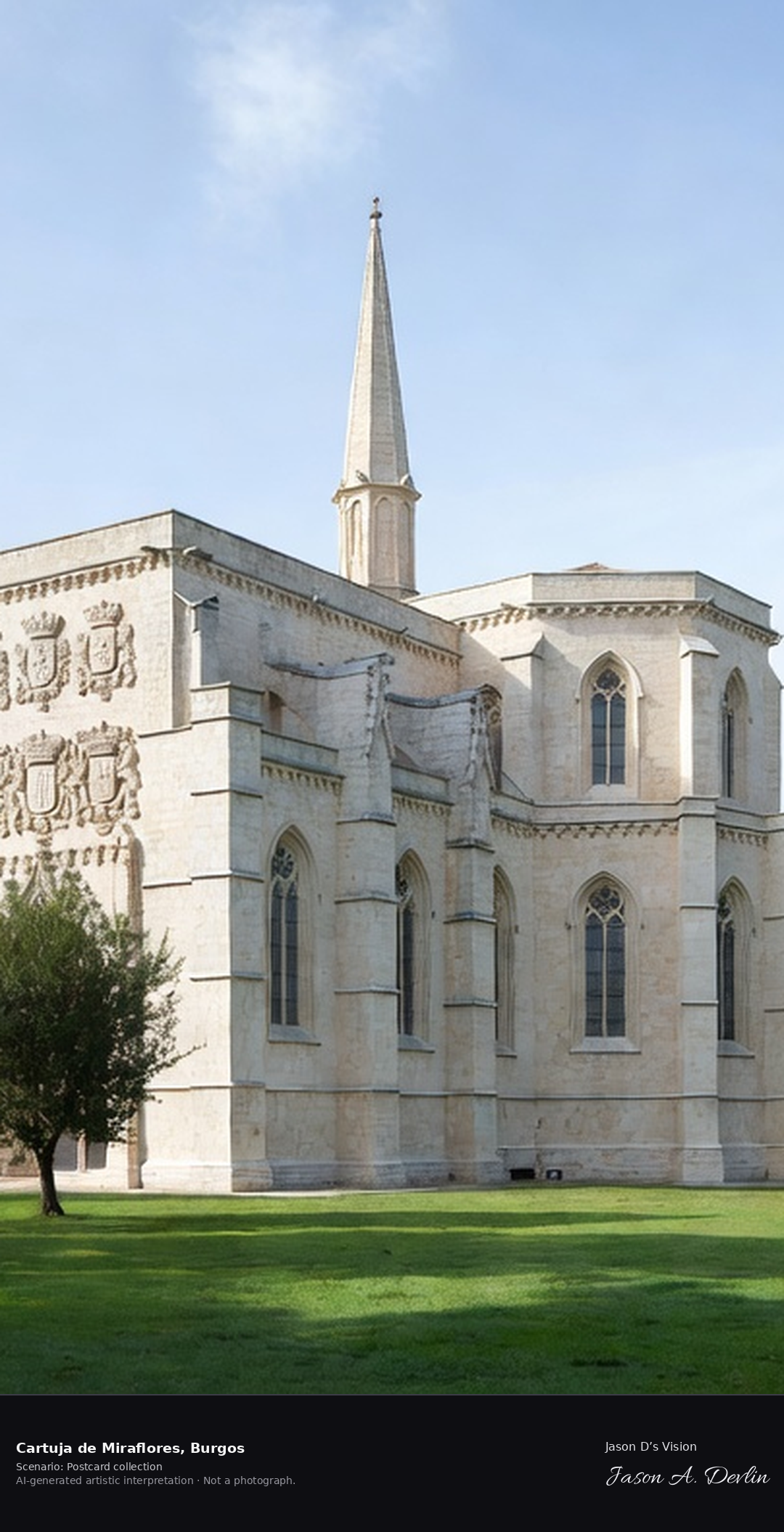
Cartuja de Miraflores · AI-generated artistic interpretation
The Cartuja de Miraflores is a Carthusian monastery in the Fuentes Blancas park east of Burgos, founded by John II of Castile in 1442. Its Isabelline Gothic church holds Gil de Siloe's gilded high altarpiece and his alabaster tomb of John II and Isabella of Portugal, parents of Isabella the Catholic. A fresh retrieval for this spot on 7 November 2026 recorded 9.7 °C, clear sky (WMO code 0), cloud cover 0%, wind 6.3 km/h.
Postcard collection
Daylight
Viewpoint, conditions & editions
Charterhouse church in Fuentes Blancas parkland: pale stone Isabelline Gothic church centred, ornate west facade with founders' coats of arms, single slender spire, polygonal apse, green park trees and lawns around. Reference-reported camera 42.337770 N, 3.656440 W; exact generated camera correspondence is unverified.
9.7°C, weather code 0 (clear sky), cloud 0%, wind 6.3 km/h. Per-scene Open-Meteo retrieval 2026-11-07T19:26:33.067690+00:00 for the scene's own coordinates.
Downloads carry the finished label bar: caption, scenario and AI disclosure on the left, “Jason D’s Vision” with the script signature on the right.
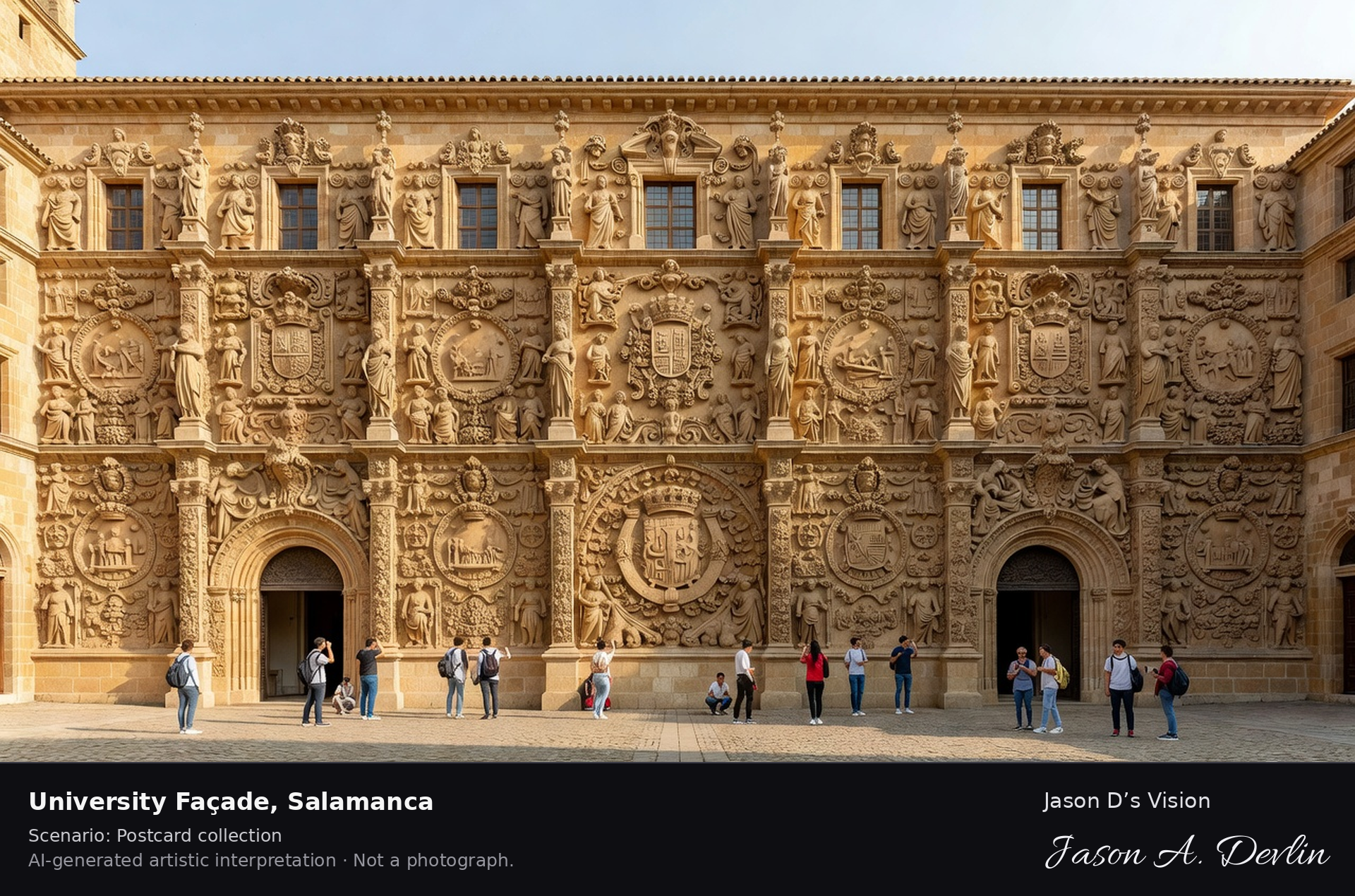
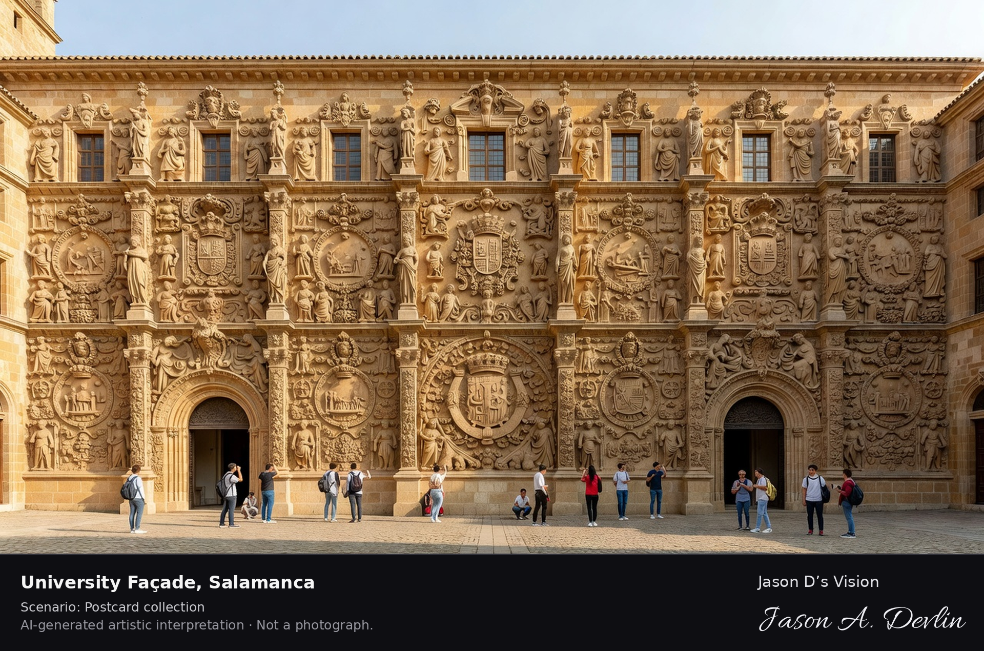
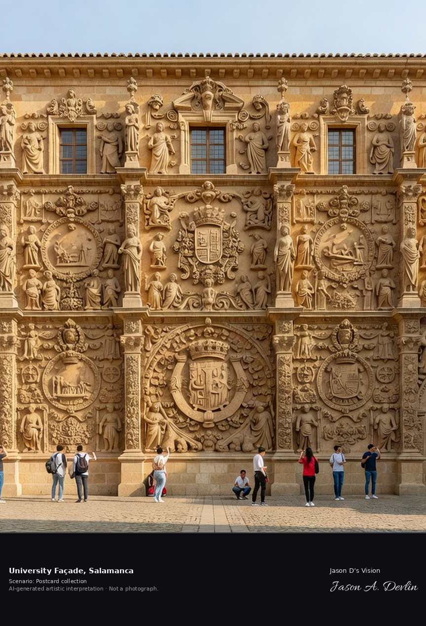
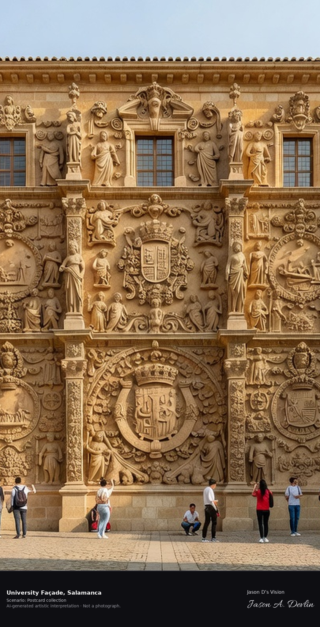
University Façade (Escuelas Mayores) · AI-generated artistic interpretation
The Plateresque facade of the Escuelas Mayores, carved from 1529 in golden Villamayor sandstone, is the showpiece of the University of Salamanca, founded in 1218 and the oldest university in Spain. Its three densely carved bodies carry medallions of the Catholic Monarchs, papal and imperial arms, and — hidden on a skull on the right pilaster — the tiny frog students must find for luck. A fresh retrieval for this spot on 7 November 2026 recorded 12.4 °C, overcast (WMO code 3), cloud cover 76%, wind 3.7 km/h.
Postcard collection
Daylight
Viewpoint, conditions & editions
Head-on from the Patio de Escuelas: the golden Villamayor-sandstone Plateresque facade of the Escuelas Mayores filling the frame in three densely carved bodies, twin doorways below, medallions and coats of arms, students and visitors in the small square in front. Reference-reported camera 40.961480 N, 5.667320 W; exact generated camera correspondence is unverified.
12.4°C, weather code 3 (overcast), cloud 76%, wind 3.7 km/h. Per-scene Open-Meteo retrieval 2026-11-07T19:24:06.151547+00:00 for the scene's own coordinates.
Downloads carry the finished label bar: caption, scenario and AI disclosure on the left, “Jason D’s Vision” with the script signature on the right.
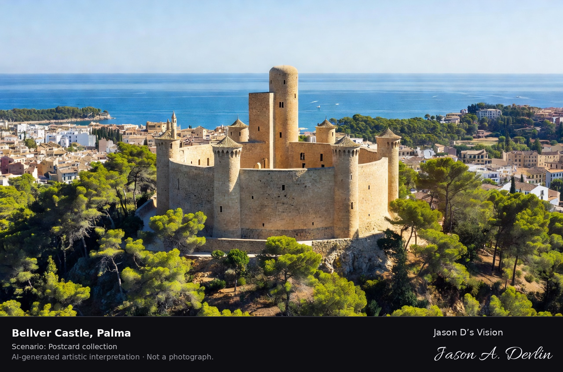
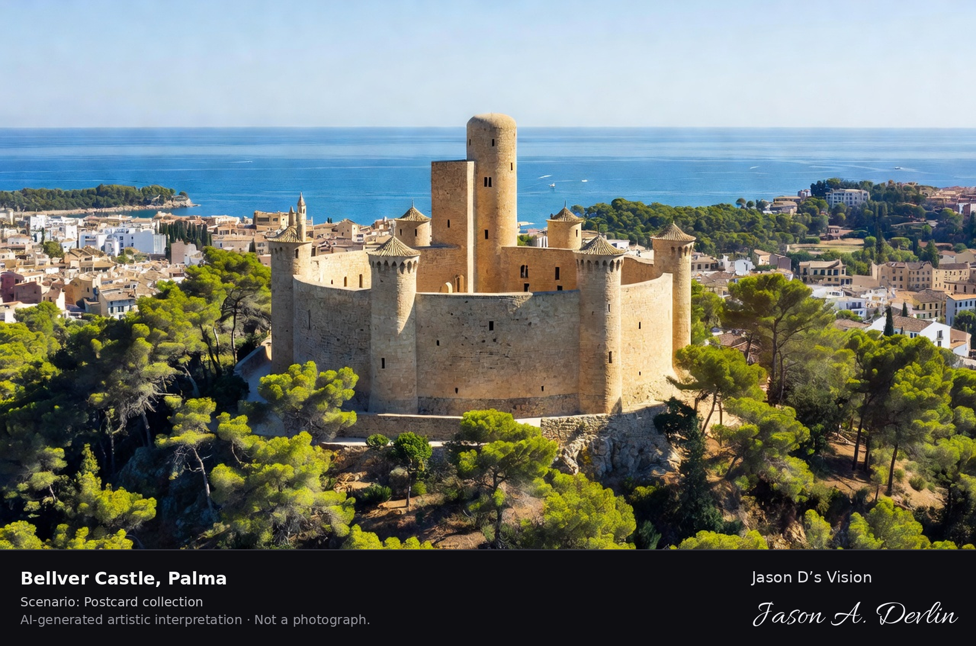
Bellver Castle, built for James II of Mallorca in the early 1300s, is one of very few circular castles in Europe — a Gothic stone ring with a round courtyard, set in pine woods on a hill west of Palma. It served as a royal residence and later a prison, and now houses Palma's city history museum. A fresh retrieval for this spot on 7 November 2026 recorded 16.3 °C, partly cloudy (WMO code 2), cloud cover 70%, wind 2.5 km/h.
Postcard collection
Daylight
Viewpoint, conditions & editions
From the pine woods below: the perfectly circular Gothic castle ring centred on its wooded hill, round central courtyard implied by the ring form, slender keep tower attached, Palma bay and city glimpsed beyond through the pines. Reference-reported camera 39.565090 N, 2.617610 E; exact generated camera correspondence is unverified.
16.3°C, weather code 2 (partly cloudy), cloud 70%, wind 2.5 km/h. Per-scene Open-Meteo retrieval 2026-11-07T19:24:18.742750+00:00 for the scene's own coordinates.
Downloads carry the finished label bar: caption, scenario and AI disclosure on the left, “Jason D’s Vision” with the script signature on the right.
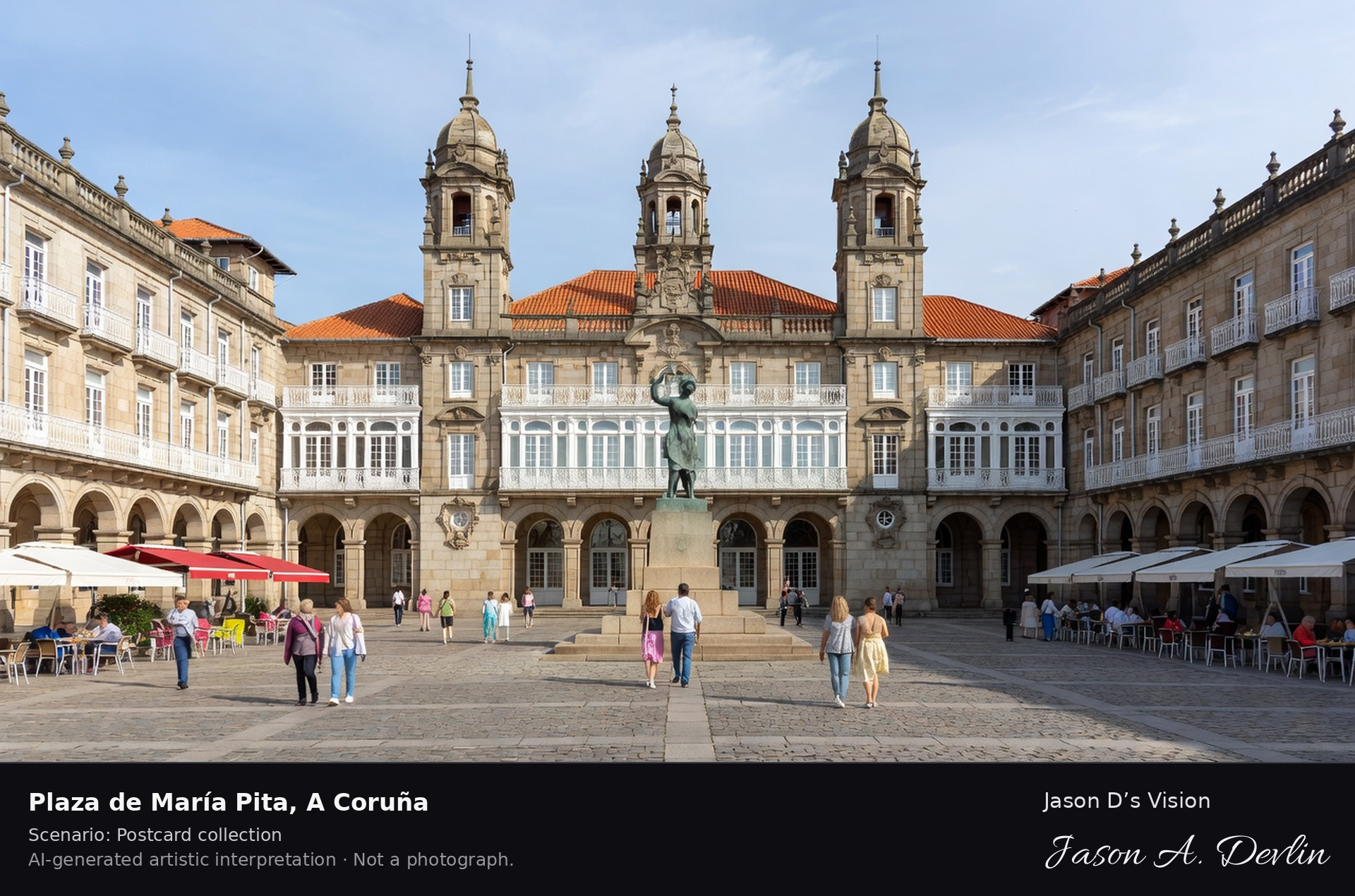
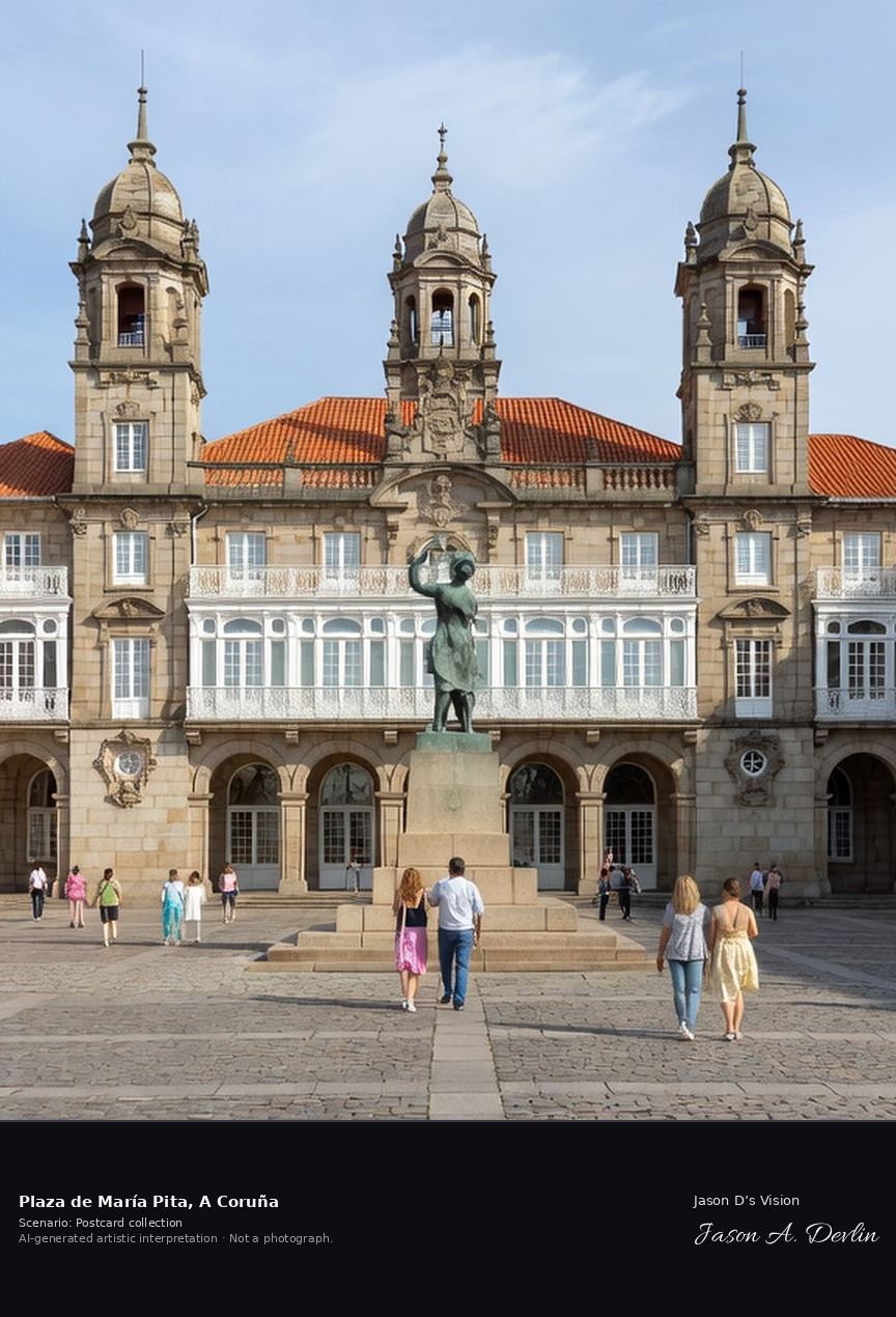
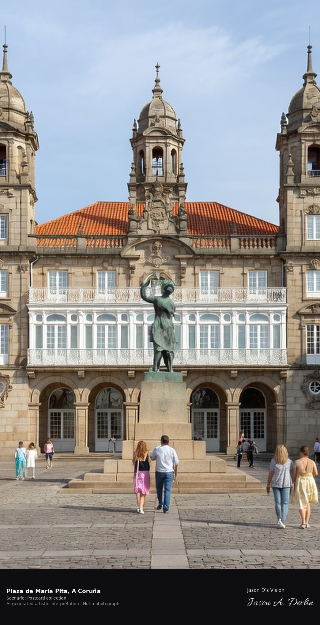
Plaza de María Pita · AI-generated artistic interpretation
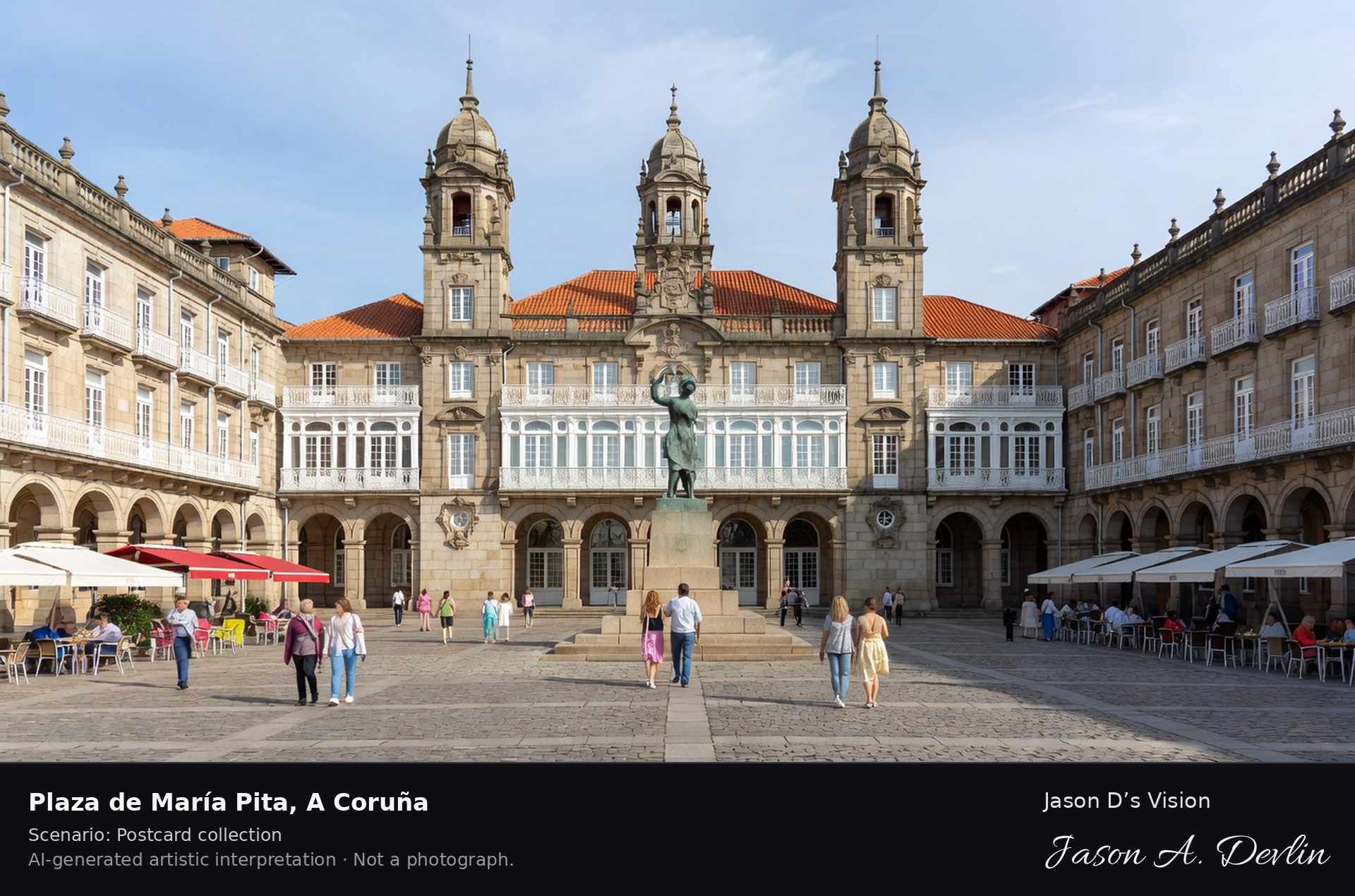
Plaza de María Pita is A Coruña's great arcaded civic square, laid out in the 19th century behind the harbour and dominated by the Palacio Municipal, its ornate city hall of 1904–1912 with three domed towers. The square and its central statue honour María Pita, who helped rally the city against the English attack of 1589. A fresh retrieval for this spot on 7 November 2026 recorded 16.1 °C, fog (WMO code 45), cloud cover 94%, wind 3.7 km/h.
Postcard collection
Daylight
Viewpoint, conditions & editions
Across the rectangular arcaded square: the grand red-and-white Palacio Municipal (city hall) with its three domed towers centred on the far side, glass-gallery (galeria) facades and arcades around the square, the statue of Maria Pita in the middle, people crossing. Reference-reported camera 43.371010 N, 8.395370 W; exact generated camera correspondence is unverified.
16.1°C, weather code 45 (fog), cloud 94%, wind 3.7 km/h. Per-scene Open-Meteo retrieval 2026-11-07T19:24:31.836440+00:00 for the scene's own coordinates.
Downloads carry the finished label bar: caption, scenario and AI disclosure on the left, “Jason D’s Vision” with the script signature on the right.
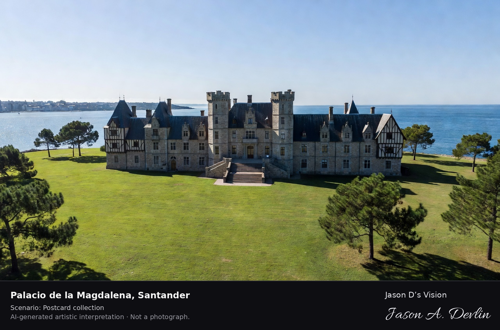
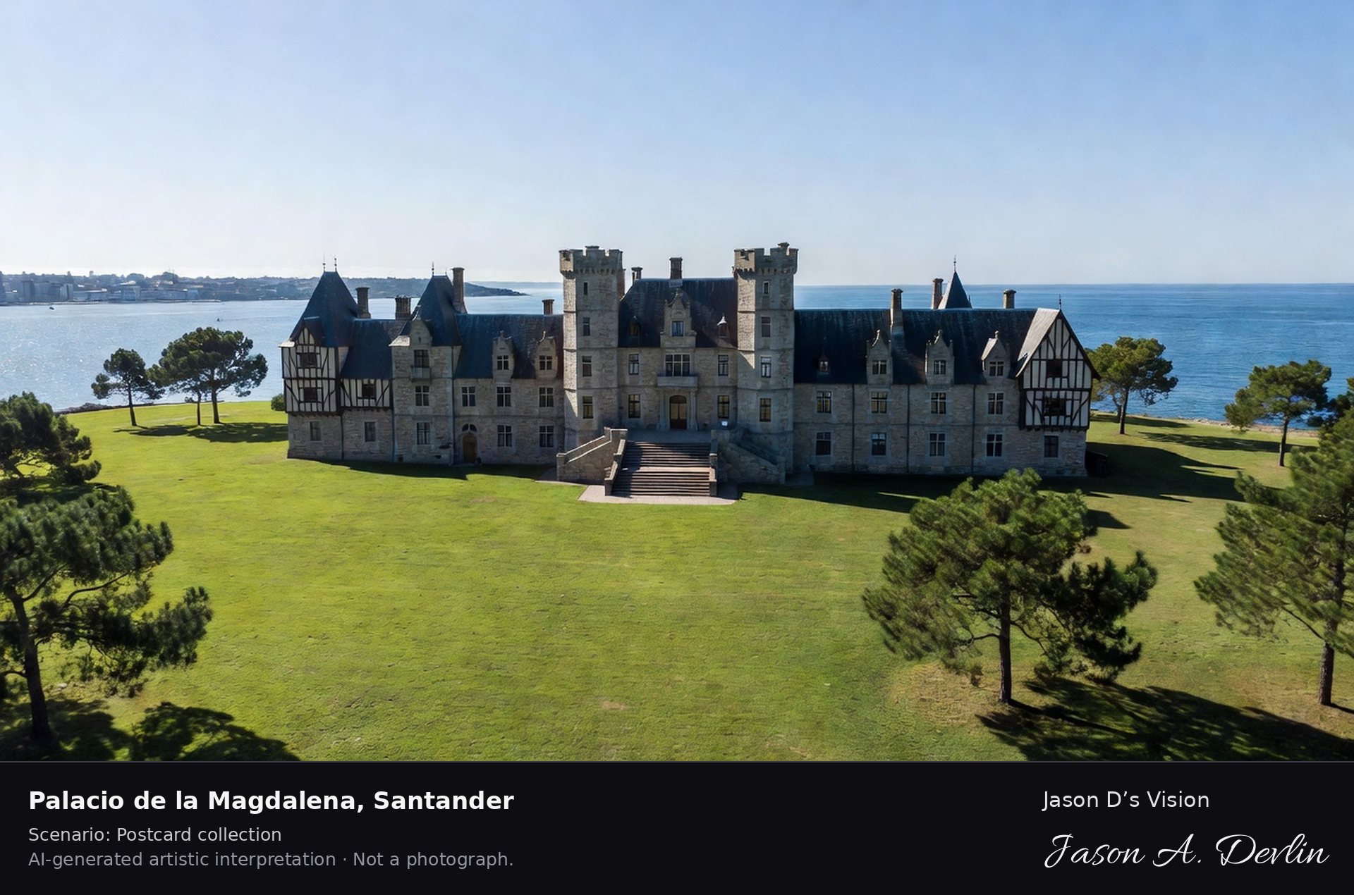
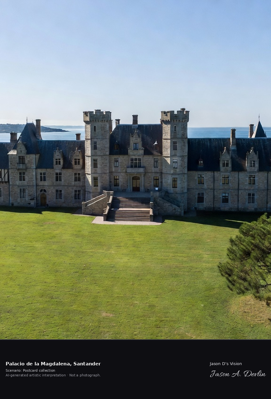
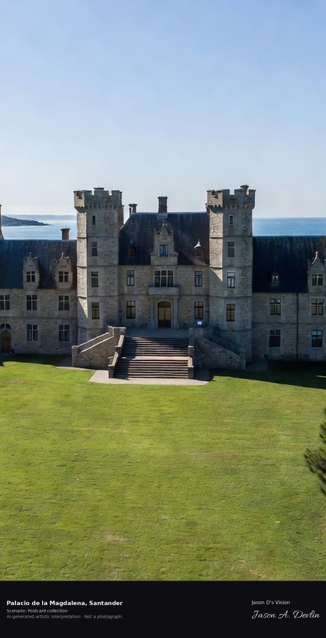
Palacio de la Magdalena · AI-generated artistic interpretation
The Palacio de la Magdalena, built 1908–1912 on the Magdalena Peninsula, was the summer residence of Alfonso XIII and the Spanish royal family until 1930, its eclectic style mixing English, French and Cantabrian mountain architecture. It now hosts the Menéndez Pelayo International University's summer courses and conferences. A fresh retrieval for this spot on 7 November 2026 recorded 14.8 °C, overcast (WMO code 3), cloud cover 82%, wind 2.9 km/h.
Postcard collection
Daylight
Viewpoint, conditions & editions
From across the green lawns of the peninsula: the eclectic stone-and-slate palace centred, south front with two octagonal towers and double staircase, lawns and pines of the Magdalena Peninsula around, Santander bay on one side and open Cantabrian sea behind. Reference-reported camera 43.469040 N, 3.766360 W; exact generated camera correspondence is unverified.
14.8°C, weather code 3 (overcast), cloud 82%, wind 2.9 km/h. Per-scene Open-Meteo retrieval 2026-11-07T19:24:44.778435+00:00 for the scene's own coordinates.
Downloads carry the finished label bar: caption, scenario and AI disclosure on the left, “Jason D’s Vision” with the script signature on the right.
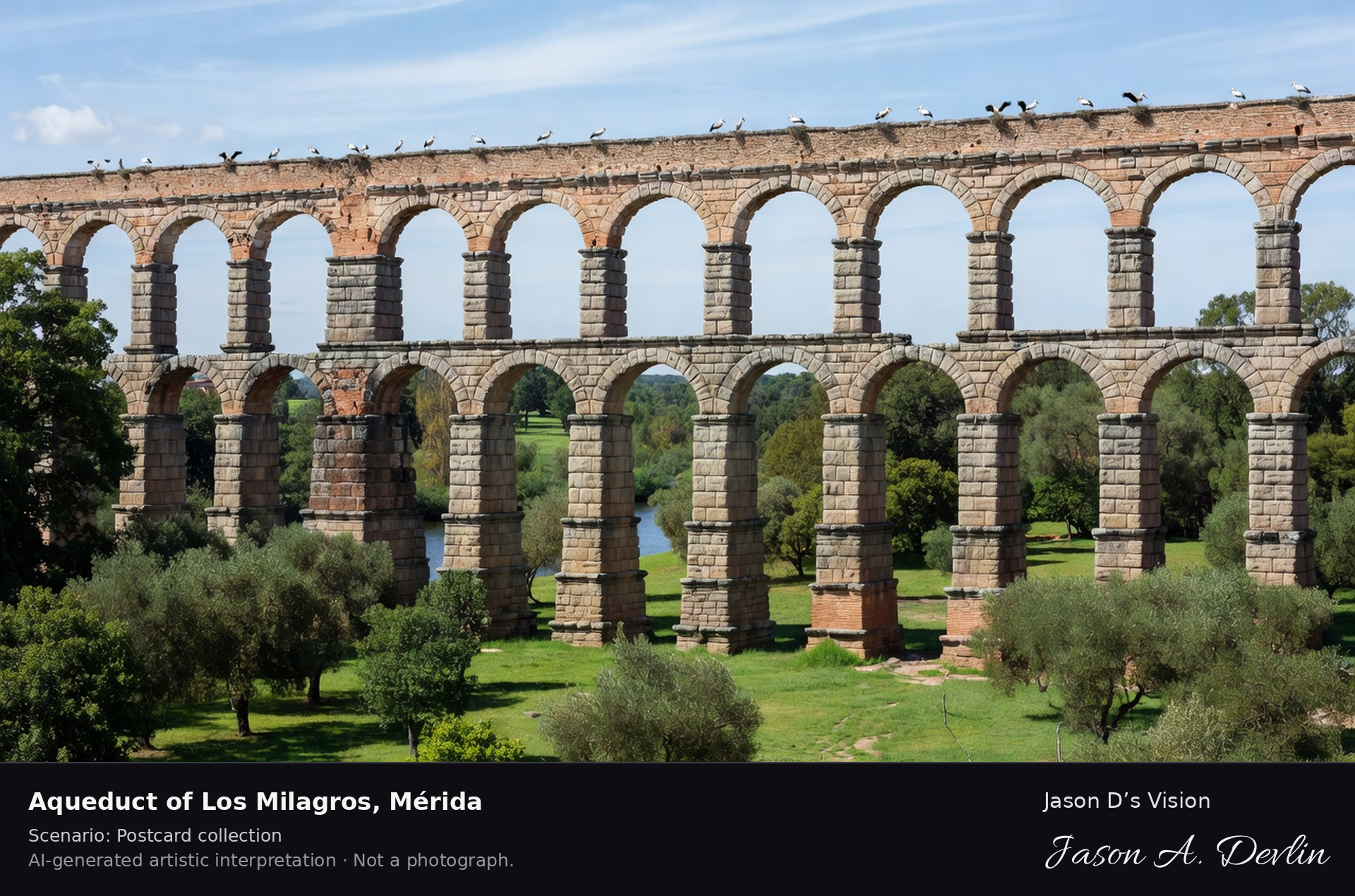
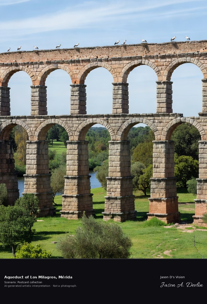
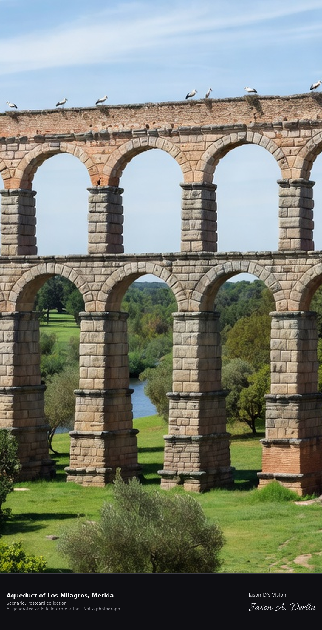
Aqueduct of Los Milagros · AI-generated artistic interpretation
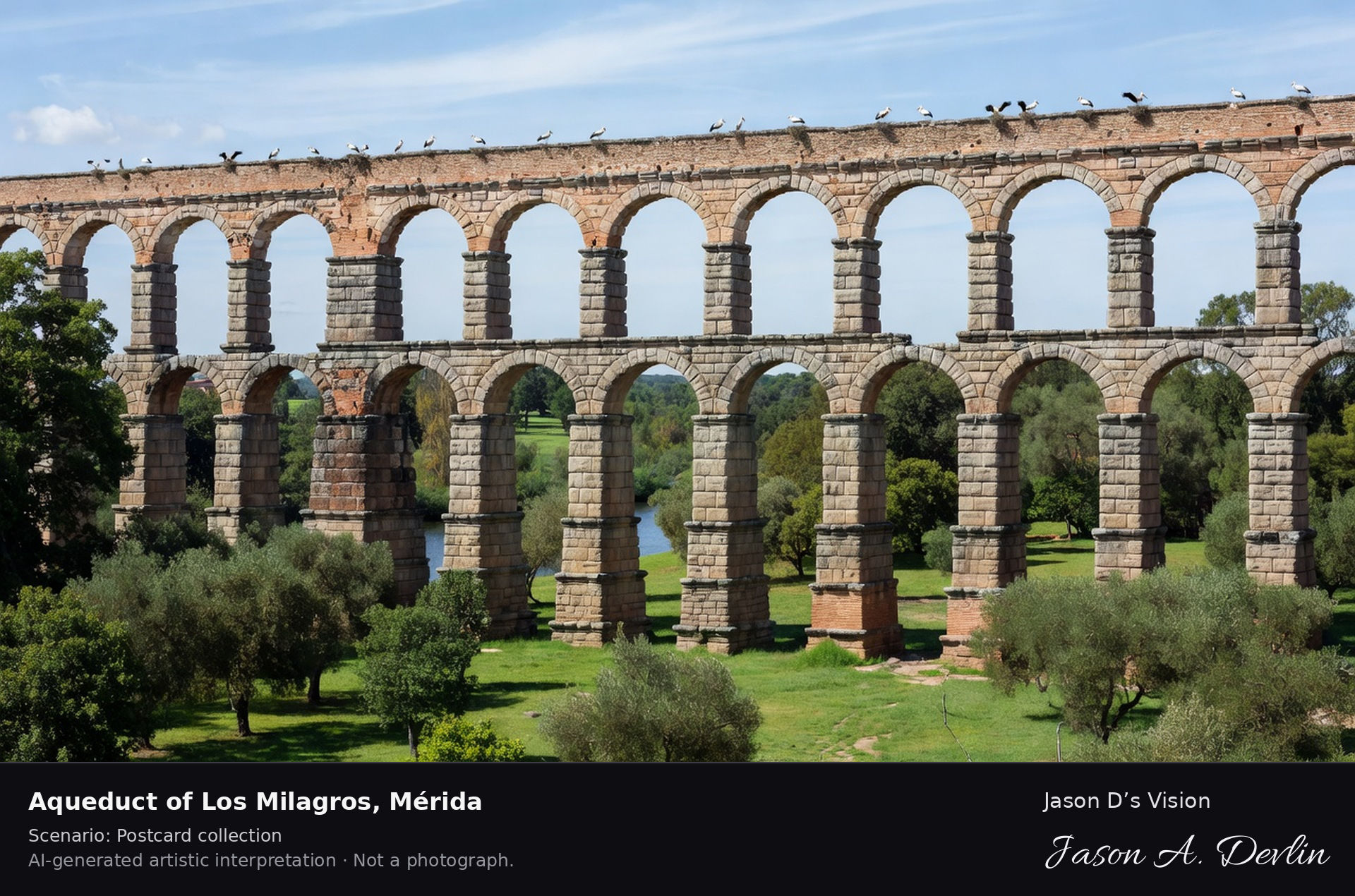
The Aqueduct of Los Milagros carried water some 10 km from the Proserpina reservoir into Roman Emerita Augusta, today's Mérida. Its surviving arcade crosses the Albarregas valley on three tiers of granite-and-brick piers rising about 25 metres, and white storks nest on its summit. A fresh retrieval for this spot on 7 November 2026 recorded 18.7 °C, overcast (WMO code 3), cloud cover 92%, wind 7.0 km/h.
Postcard collection
Daylight
Viewpoint, conditions & editions
From the park by the Albarregas river: the soaring three-tier Roman arcade striding diagonally across the frame, alternating granite and red-brick piers up to about 25 m, storks nesting on top, green river park in the foreground. Reference-reported camera 38.929950 N, 6.344580 W; exact generated camera correspondence is unverified.
18.7°C, weather code 3 (overcast), cloud 92%, wind 7 km/h. Per-scene Open-Meteo retrieval 2026-11-07T19:24:57.978954+00:00 for the scene's own coordinates.
Downloads carry the finished label bar: caption, scenario and AI disclosure on the left, “Jason D’s Vision” with the script signature on the right.
Caves of Nerja (Maro) · AI-generated artistic interpretation
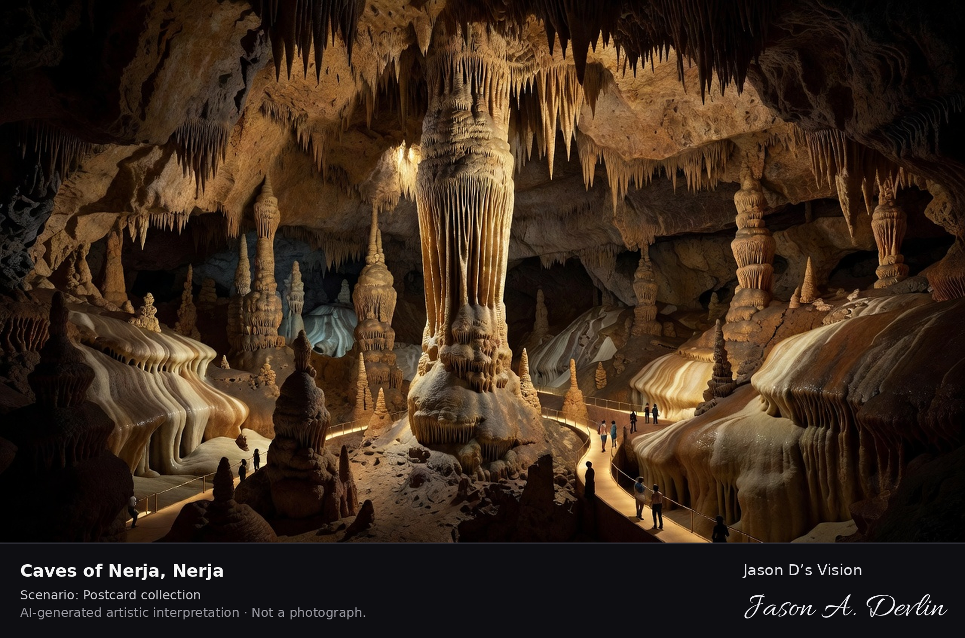
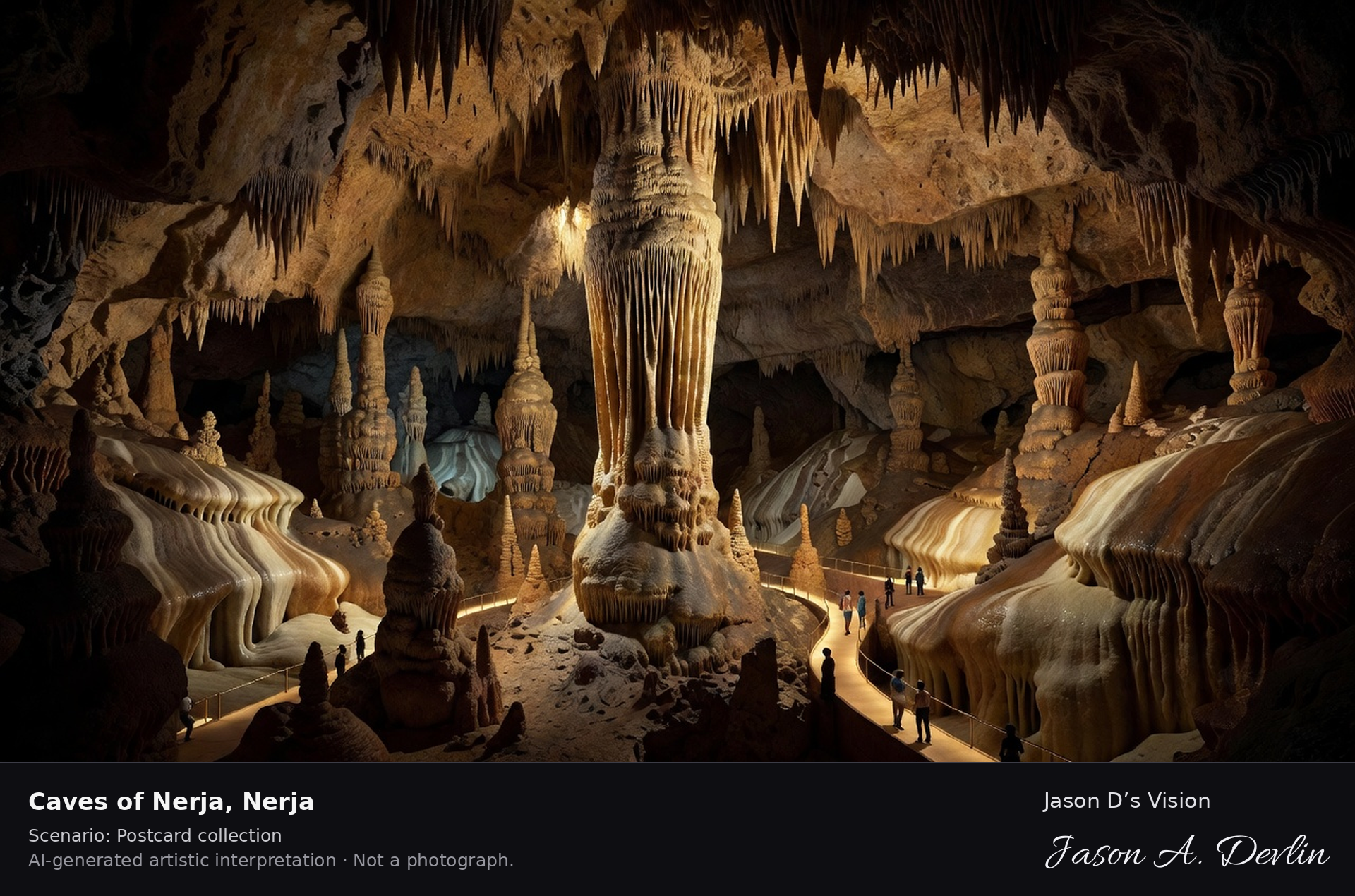
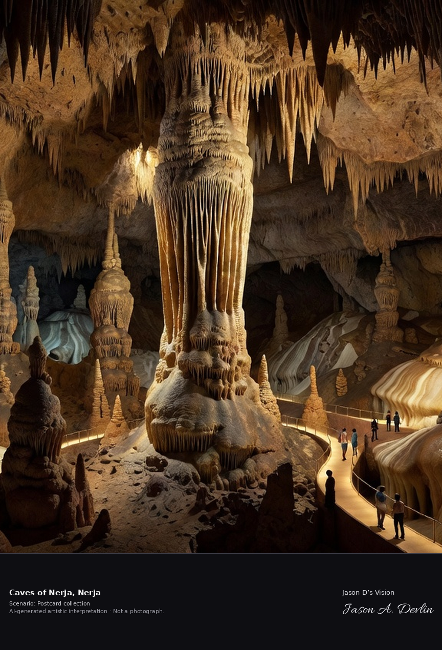
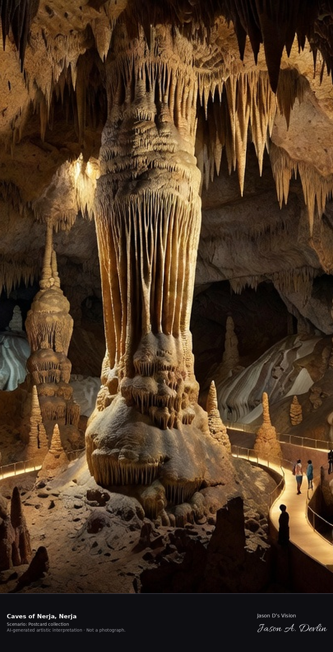
The Caves of Nerja, rediscovered in 1959 by five boys from Maro, run for nearly 5 km beneath the Sierra Almijara foothills. Its show chambers hold the world's widest natural column — 32 metres high and 13 by 7 metres at its base, formed where a stalactite and stalagmite met — recognised by Guinness World Records since 1989. A fresh retrieval for this spot on 7 November 2026 recorded 18.8 °C, mainly clear (WMO code 1), cloud cover 84%, wind 2.8 km/h.
Postcard collection
Daylight
Viewpoint, conditions & editions
Inside the great show chamber (Hall of the Cataclysm) as visitors see it from the walkway: the immense 32 m stalactite-stalagmite column at the centre, dense curtains of stalactites from the high vault, stalagmites and flowstone around, the lit visitor walkway and tiny visitors giving scale, warm show-cave lighting. Reference-reported camera 36.759070 N, 3.843620 W; exact generated camera correspondence is unverified.
18.8°C, weather code 1 (mainly clear), cloud 84%, wind 2.8 km/h. Per-scene Open-Meteo retrieval 2026-11-07T19:25:10.921497+00:00 for the scene's own coordinates.
Downloads carry the finished label bar: caption, scenario and AI disclosure on the left, “Jason D’s Vision” with the script signature on the right.
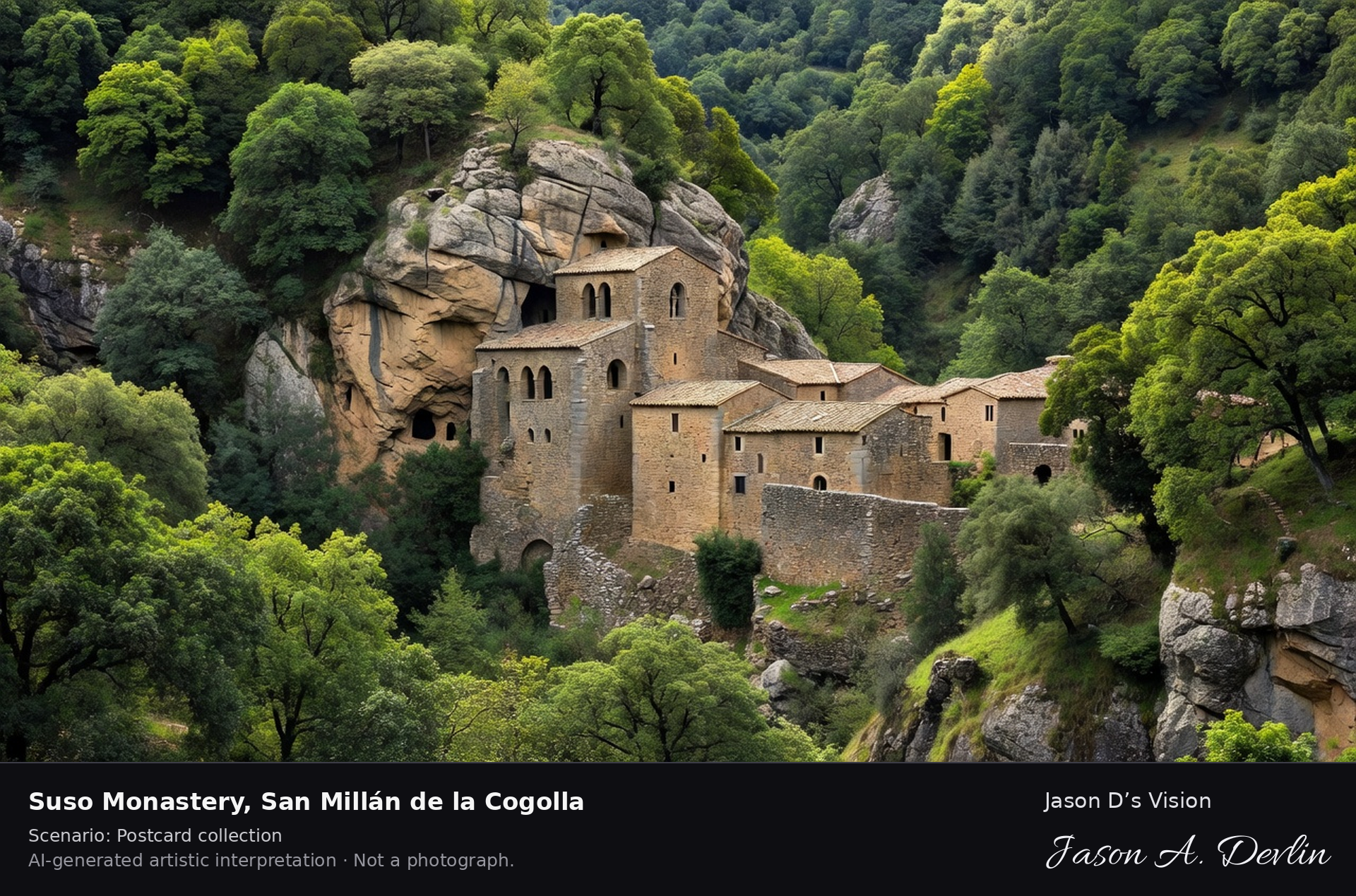
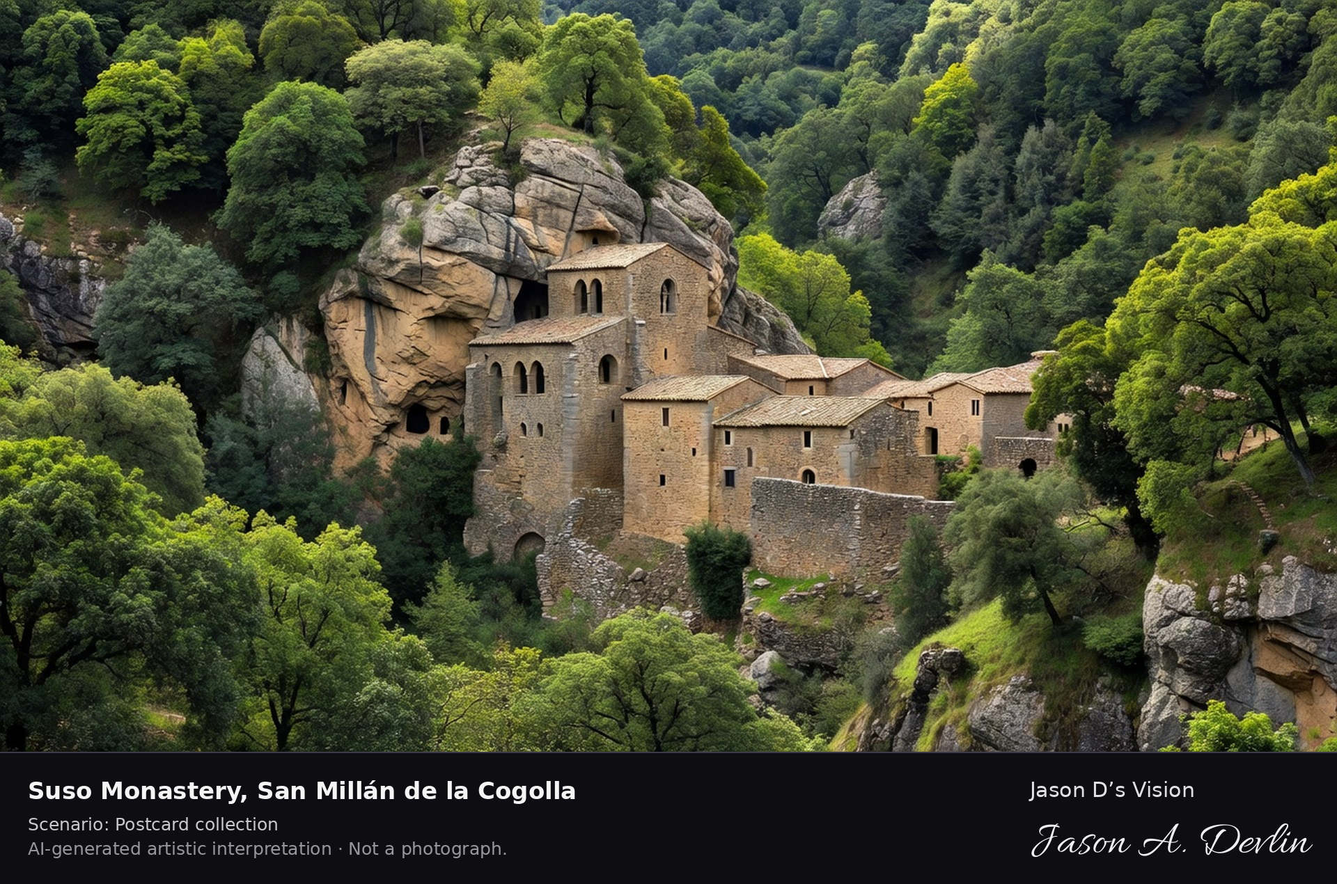
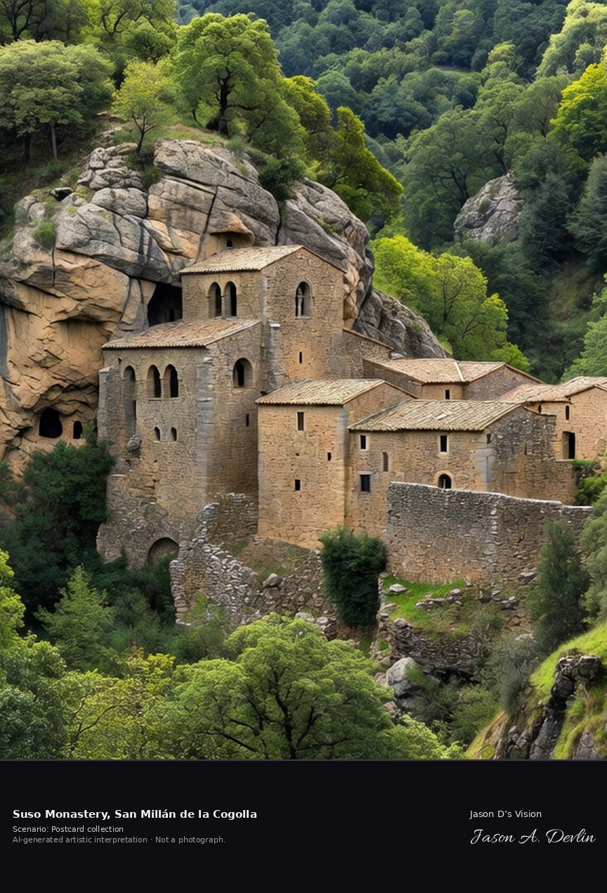
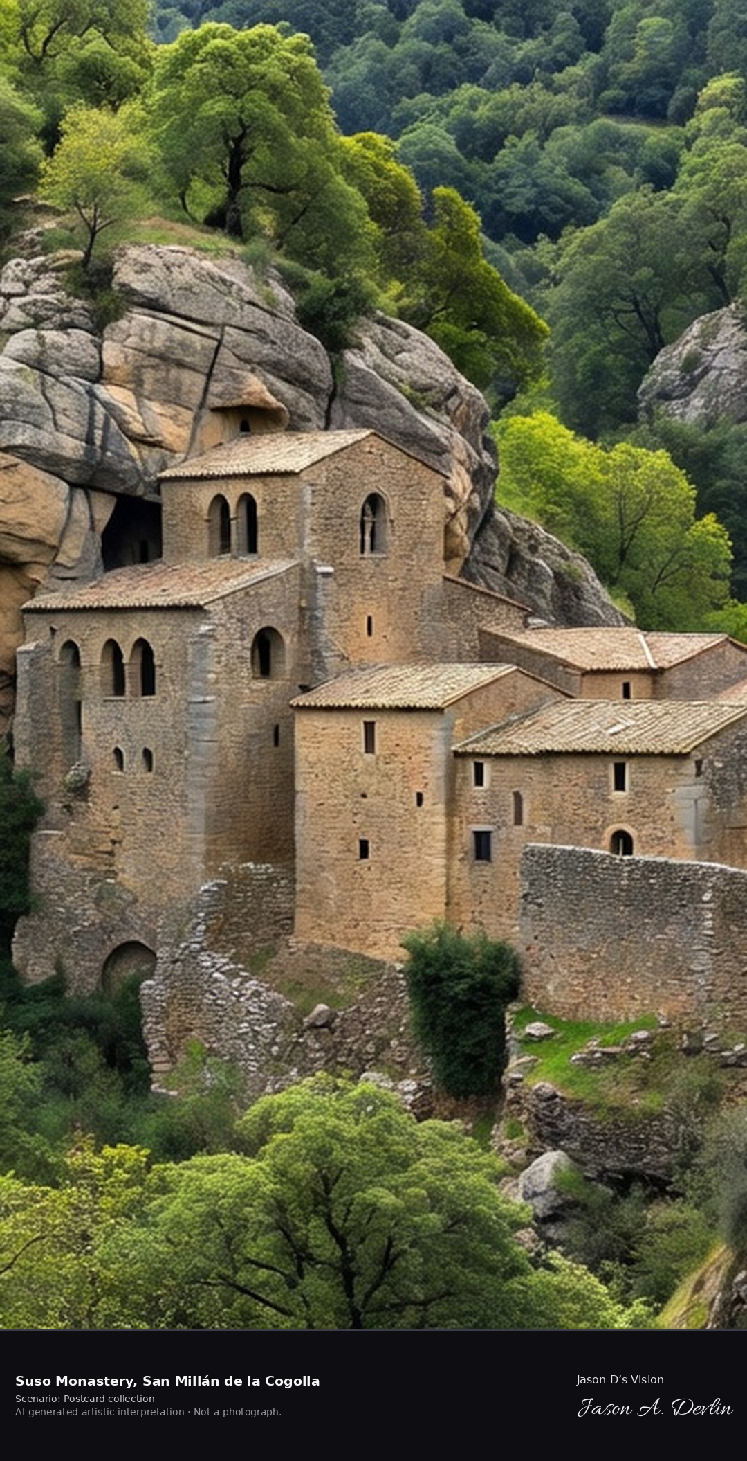
The Monastery of Suso — 'the upper one' — grew from the 6th-century hermit caves of Saint Millán in a wooded cleft above the Cárdenas valley, its church part Visigothic, part Mozarabic, built into the rock. Here a monk penned the Glosas Emilianenses, marginal notes long cited as the first written words in Spanish; Suso and its lower sister Yuso are a UNESCO World Heritage Site. A fresh retrieval for this spot on 7 November 2026 recorded 7.1 °C, overcast (WMO code 3), cloud cover 86%, wind 3.8 km/h.
Postcard collection
Daylight
Viewpoint, conditions & editions
From the path below in its wooded cleft: the small ancient stone monastery centred against the rock face, its Visigothic/Mozarabic church with horseshoe arches built into caves in the cliff, later stone ranges, dense oak and beech woods climbing the valley sides — NOT the large Yuso monastery in the valley below. Reference-reported camera 42.329350 N, 2.872740 W; exact generated camera correspondence is unverified.
7.1°C, weather code 3 (overcast), cloud 86%, wind 3.8 km/h. Per-scene Open-Meteo retrieval 2026-11-07T19:25:24.304024+00:00 for the scene's own coordinates.
Downloads carry the finished label bar: caption, scenario and AI disclosure on the left, “Jason D’s Vision” with the script signature on the right.
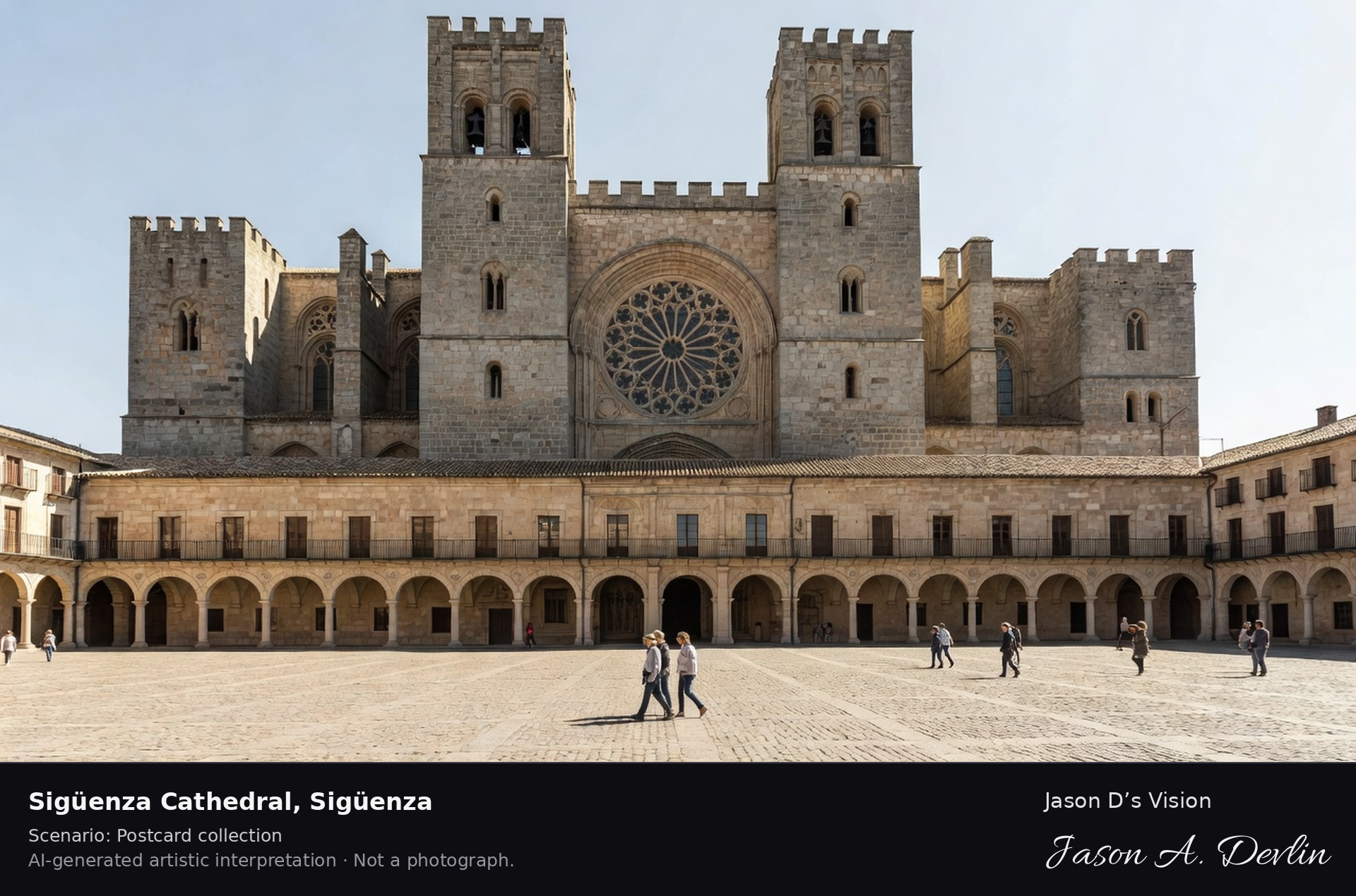
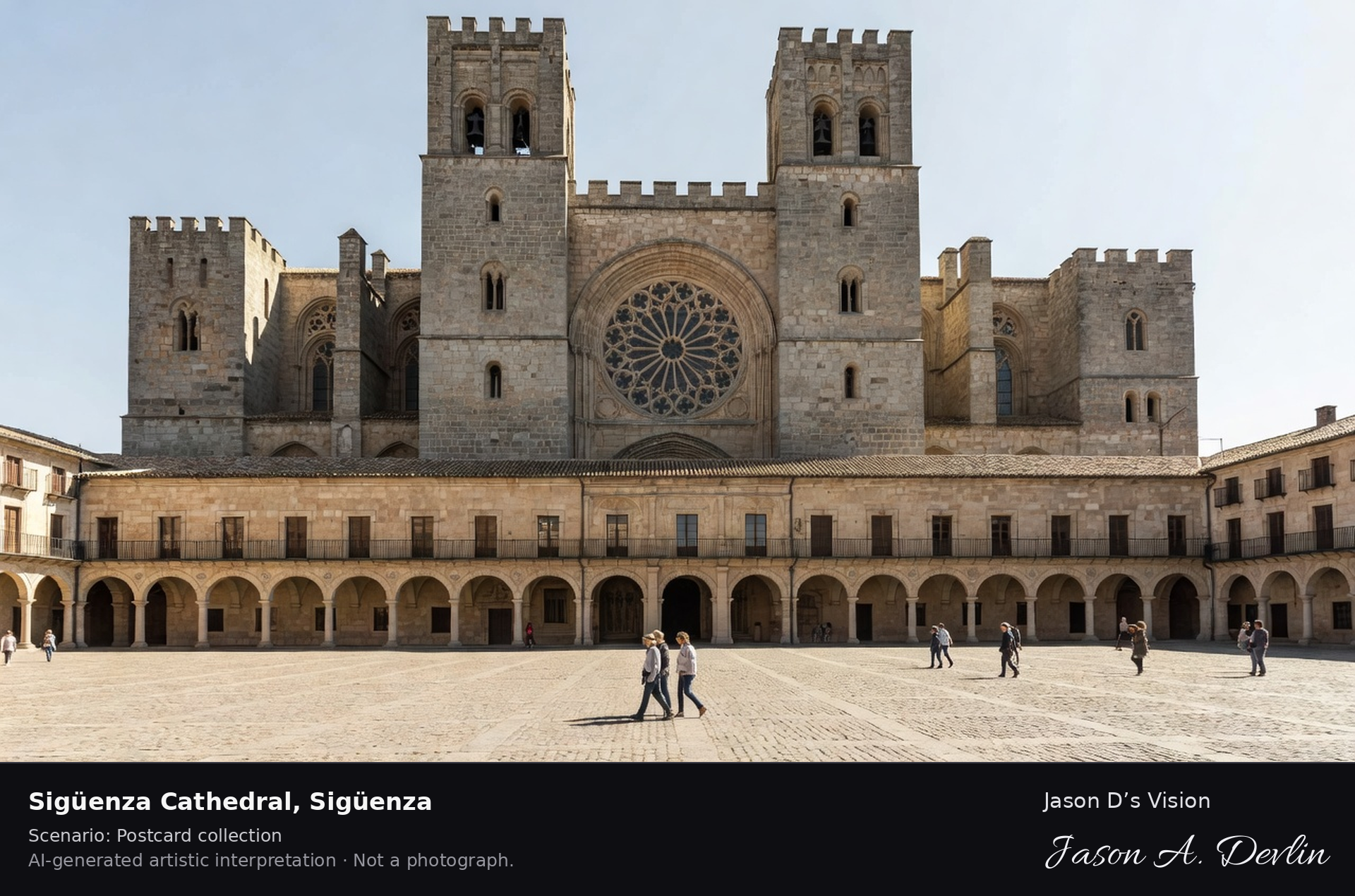
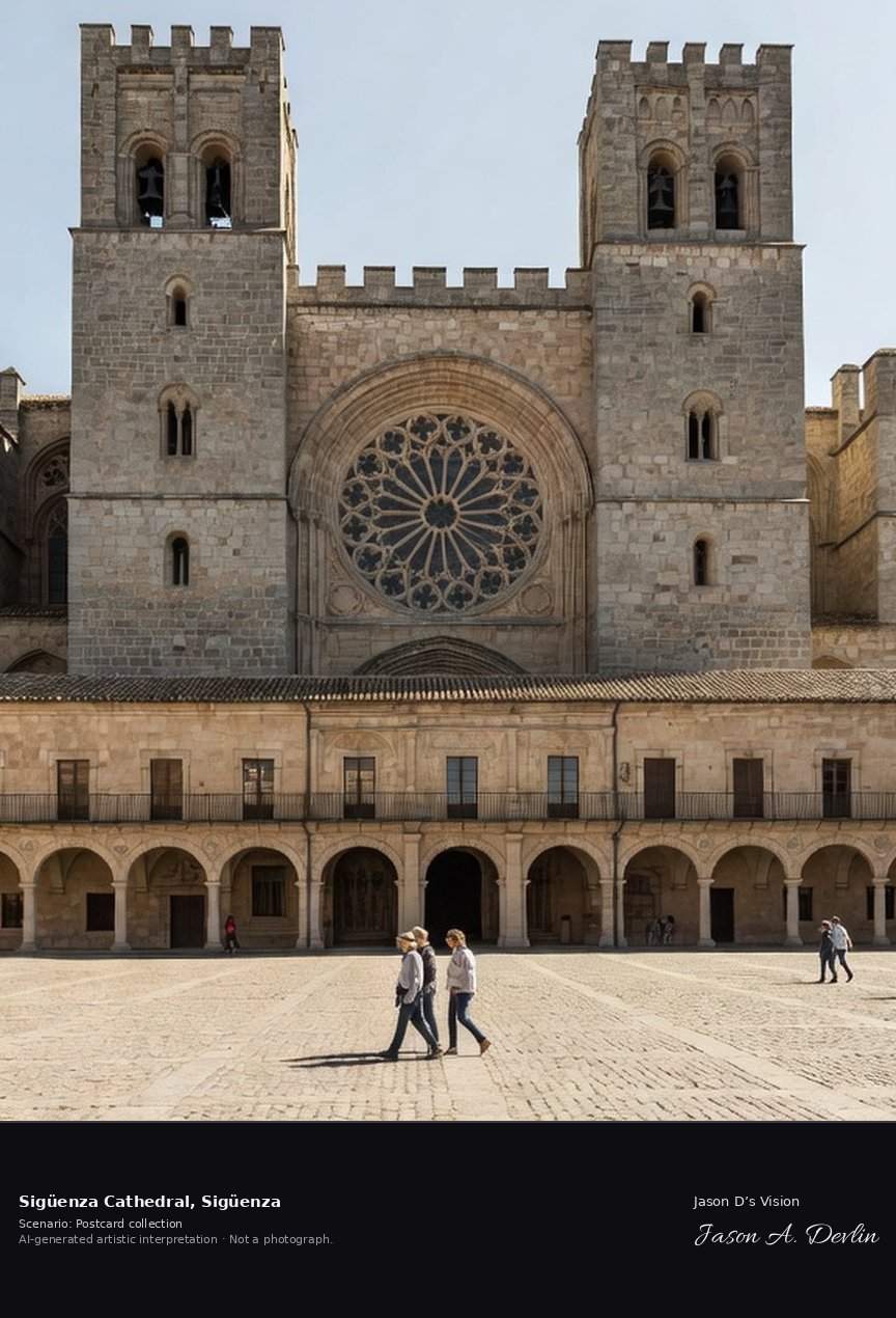
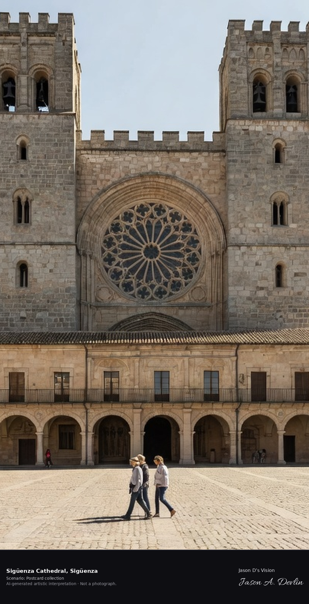
Sigüenza Cathedral, begun in 1144, is a fortress-church of Romanesque and Gothic stone whose twin crenellated towers guard the Plaza Mayor. Inside lies its most famous treasure, the tomb of Martín Vázquez de Arce, El Doncel, whose serene reading effigy of about 1490 is a masterpiece of Spanish sculpture. A fresh retrieval for this spot on 7 November 2026 recorded 10.0 °C, partly cloudy (WMO code 2), cloud cover 43%, wind 2.0 km/h.
Postcard collection
Daylight
Viewpoint, conditions & editions
From the Plaza Mayor: the fortress-cathedral's great west front centred, twin crenellated towers and rose window, massive Romanesque-Gothic stone mass, the arcaded Renaissance Plaza Mayor in the foreground. Reference-reported camera 41.067910 N, 2.640380 W; exact generated camera correspondence is unverified.
10°C, weather code 2 (partly cloudy), cloud 43%, wind 2 km/h. Per-scene Open-Meteo retrieval 2026-11-07T19:25:37.395063+00:00 for the scene's own coordinates.
Downloads carry the finished label bar: caption, scenario and AI disclosure on the left, “Jason D’s Vision” with the script signature on the right.
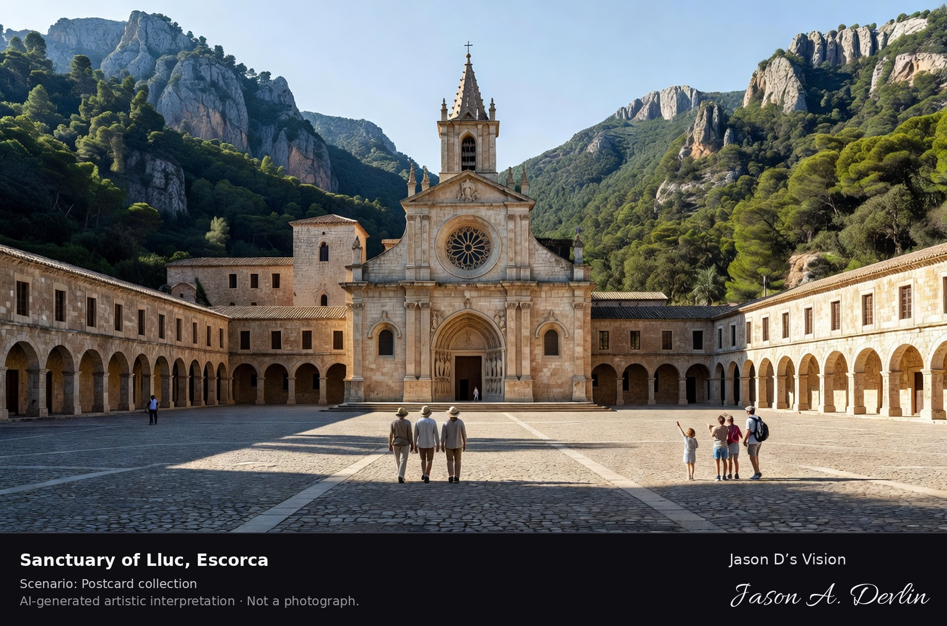
Sanctuary of Lluc · AI-generated artistic interpretation
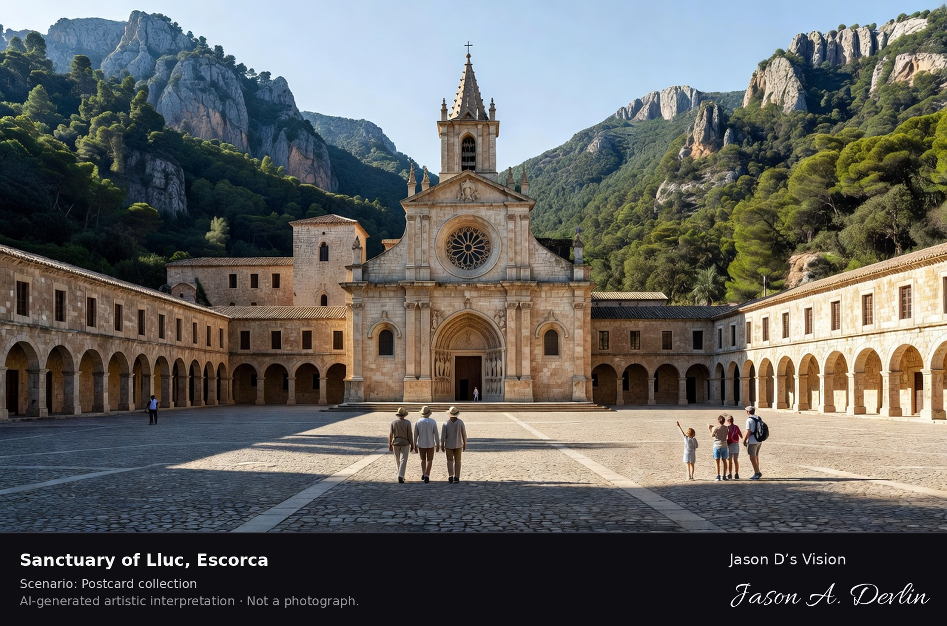
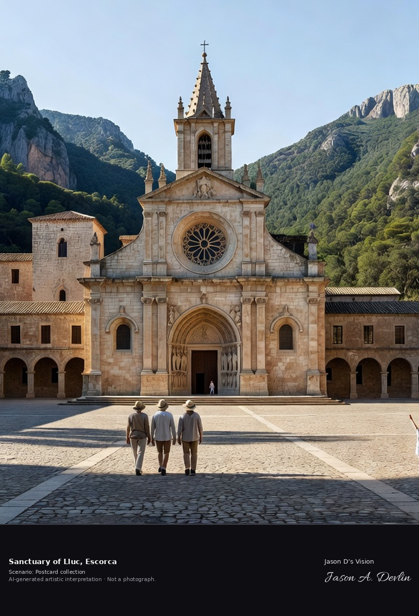
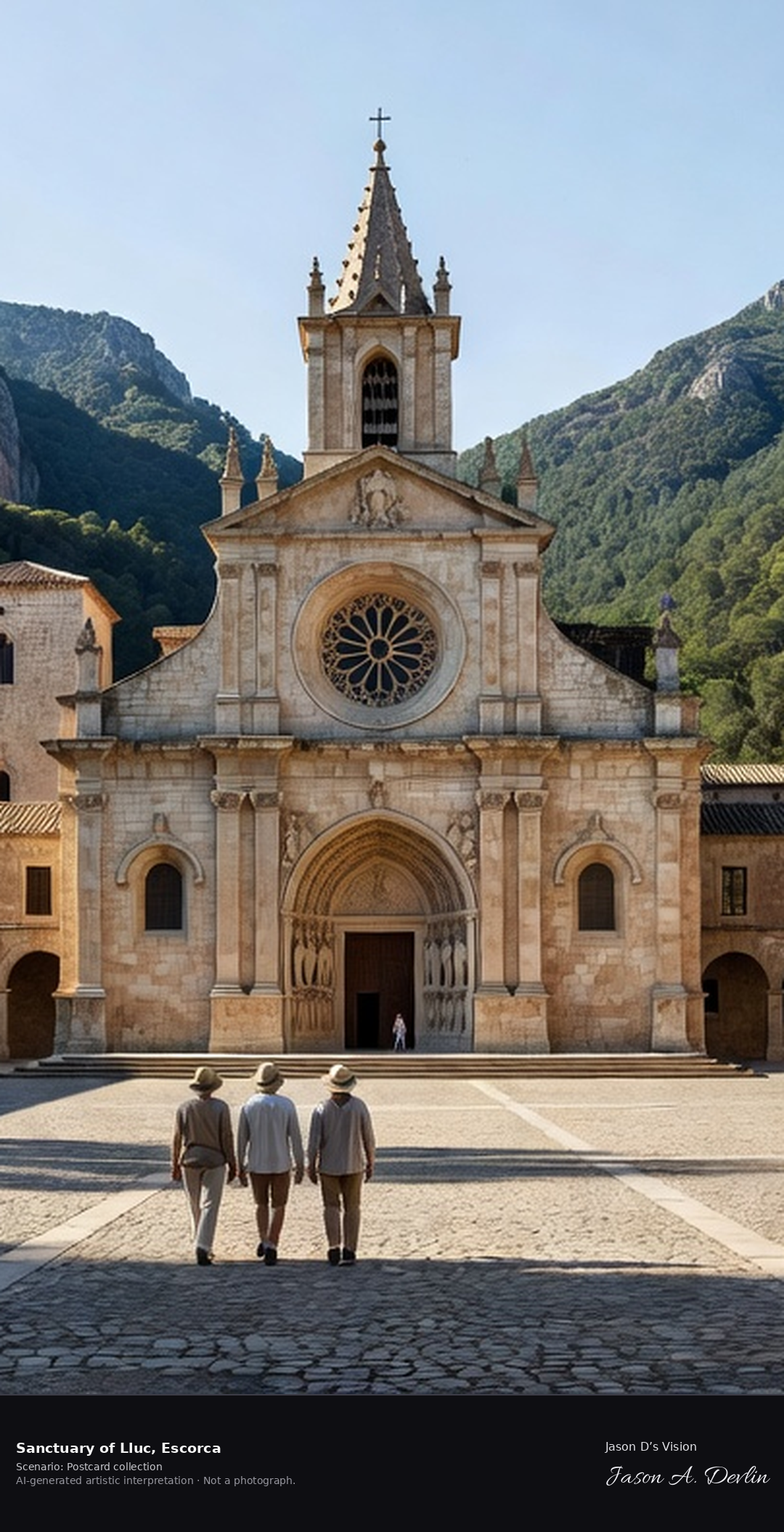
The Sanctuary of Lluc, at about 500 metres in Mallorca's Serra de Tramuntana, is the island's spiritual heart, home to La Moreneta, the Black Madonna of Lluc, Mallorca's patroness, whose image legend says a shepherd boy found in the 13th century. Pilgrims have walked up to Lluc for seven centuries, and its boys' choir, Els Blauets, founded in 1531, still sings in the basilica. A fresh retrieval for this spot on 7 November 2026 recorded 13.5 °C, partly cloudy (WMO code 2), cloud cover 72%, wind 4.3 km/h.
Postcard collection
Daylight
Viewpoint, conditions & editions
From the sanctuary square (Placa dels Peregrins): the Renaissance-Baroque church facade and monastery ranges centred in their mountain bowl, arcaded courtyard buildings, pilgrims and visitors in the square, the forested Tramuntana ridges rising all around. Reference-reported camera 39.821380 N, 2.884710 E; exact generated camera correspondence is unverified.
13.5°C, weather code 2 (partly cloudy), cloud 72%, wind 4.3 km/h. Per-scene Open-Meteo retrieval 2026-11-07T19:25:50.628821+00:00 for the scene's own coordinates.
Downloads carry the finished label bar: caption, scenario and AI disclosure on the left, “Jason D’s Vision” with the script signature on the right.
MADE FOR YOUR WORK
Our promise to creators
Beautiful, realistic imagery should never stand between a creator and their work. Everything in this gallery is free to use — for any purpose, forever, with no credit required. We make these images so the people doing the work always have something stunning to build on.
Every image in Jason D's Vision is free to use for any purpose — personal or commercial. No credit is required. If you'd like to credit, 'Jason D's Vision' is appreciated, but it's entirely your choice.
Jason D's Vision waives its own rights in these images. This doesn't waive anyone else's rights: if an image happens to include a trademark, logo, or other third-party material, those rights still belong to their owners. All images are AI-generated artistic interpretations, not photographs, and use of an image doesn't imply endorsement by Jason D's Vision.
Free to use
Every image in Jason D's Vision is free to use for any purpose — personal or commercial. No credit is required. If you'd like to credit, 'Jason D's Vision' is appreciated, but it's entirely your choice.