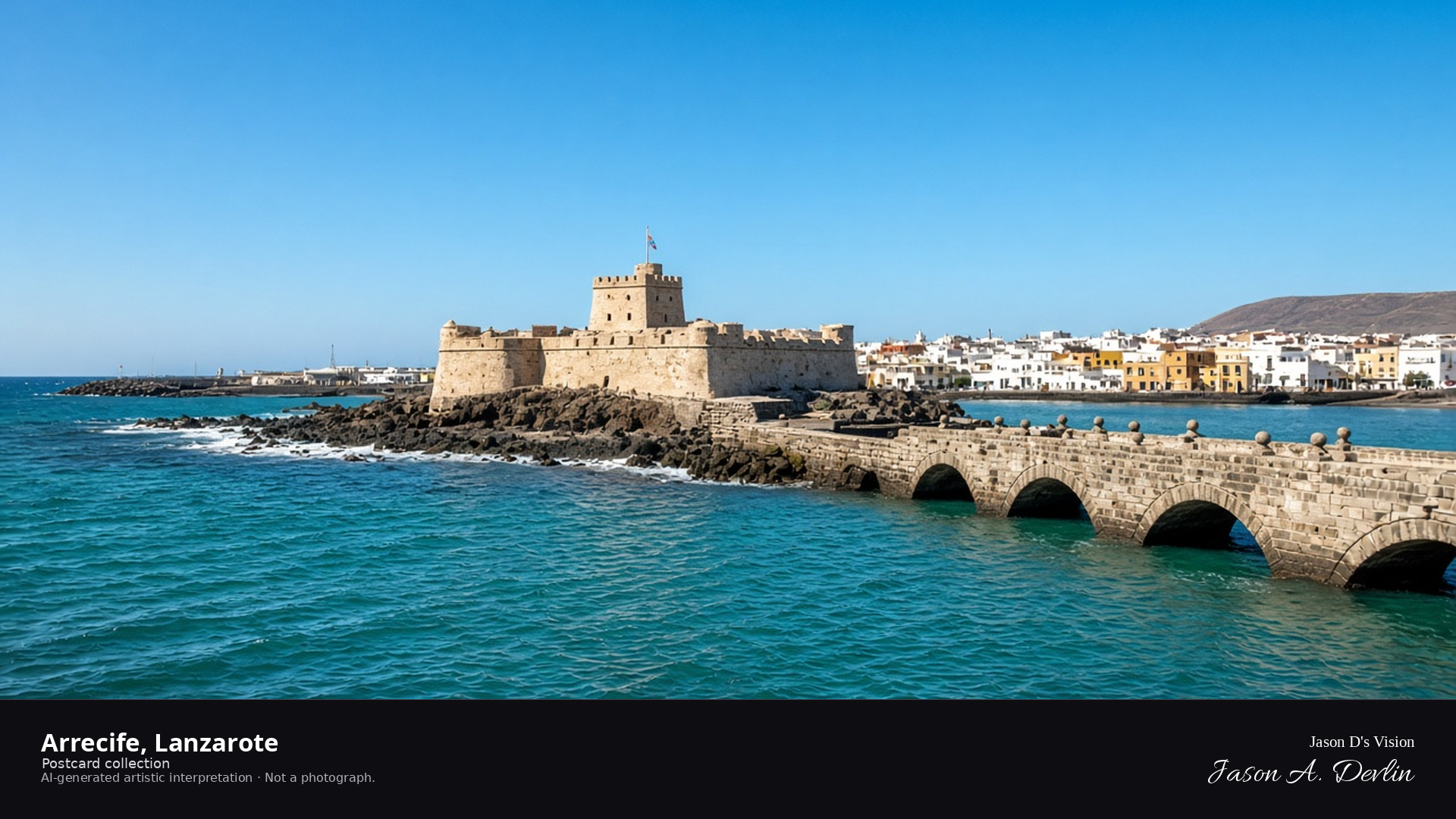
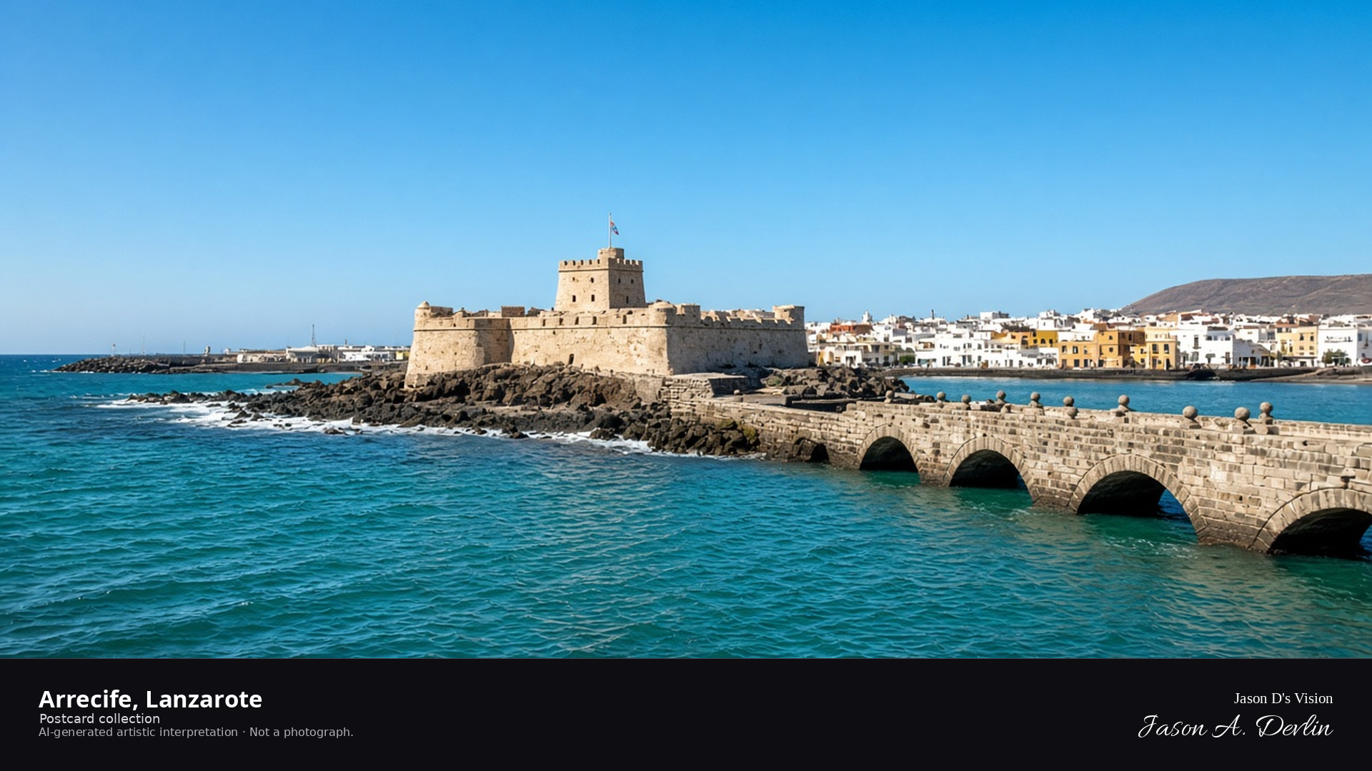
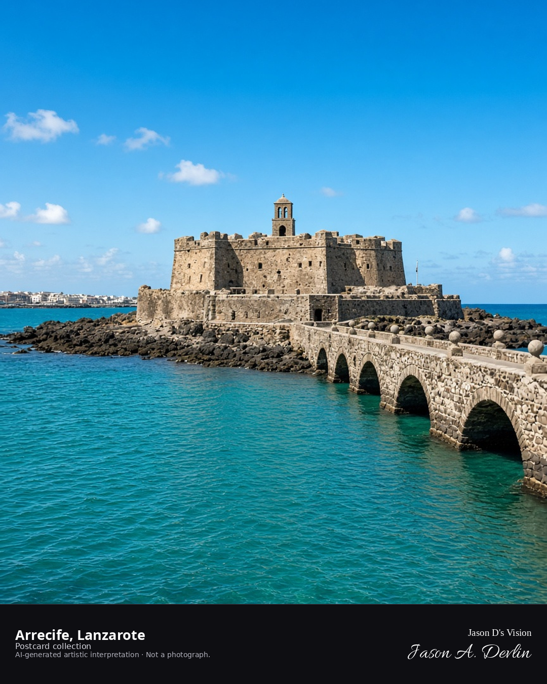
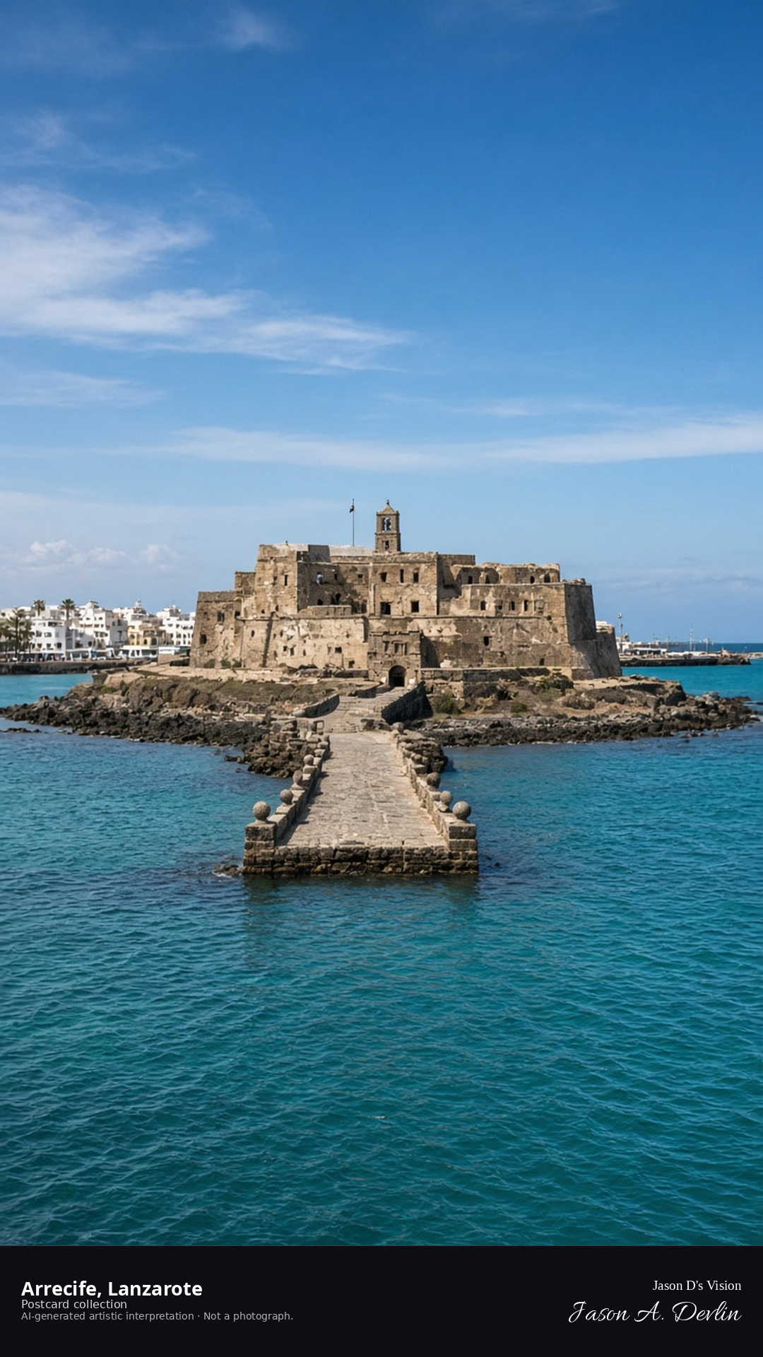
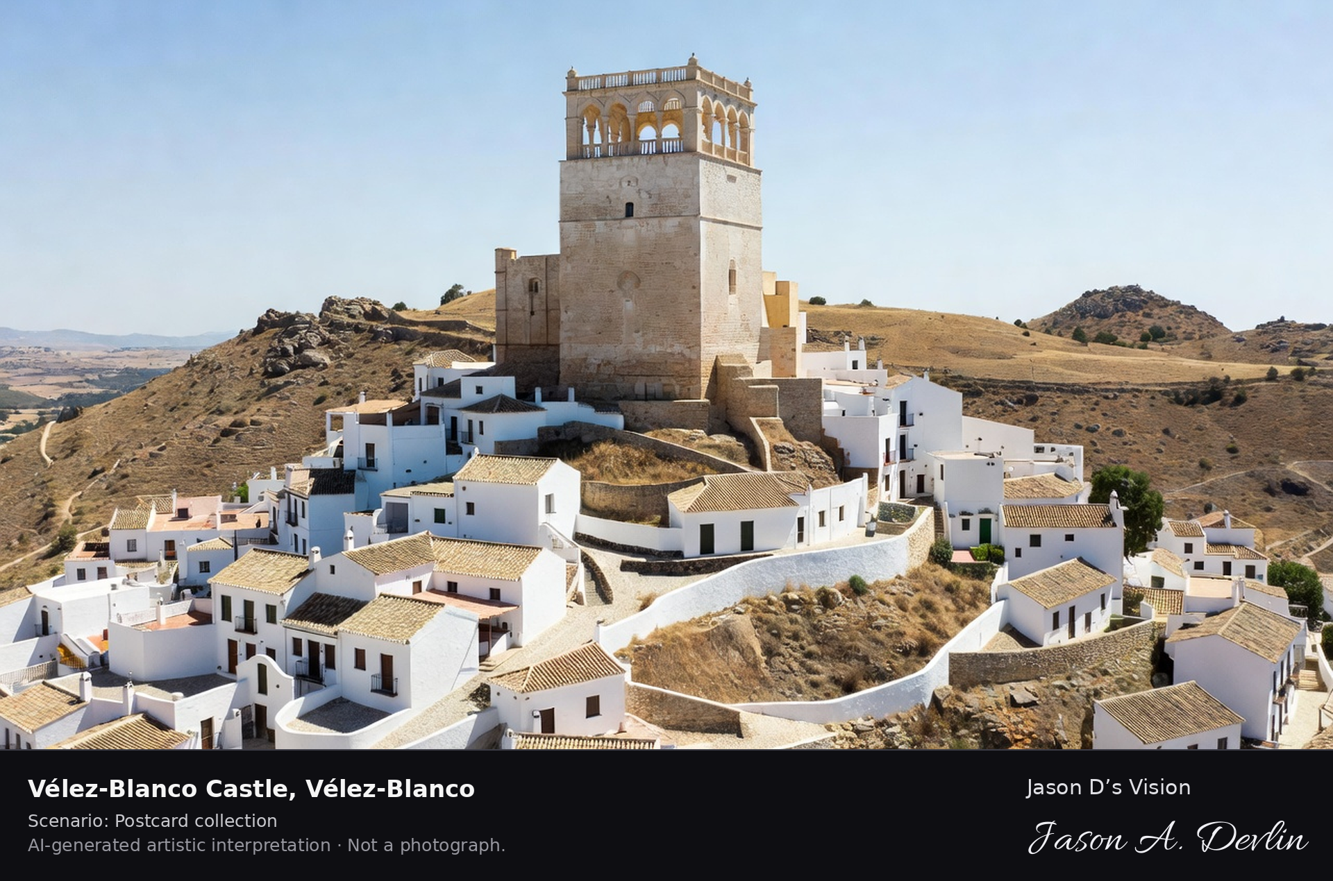
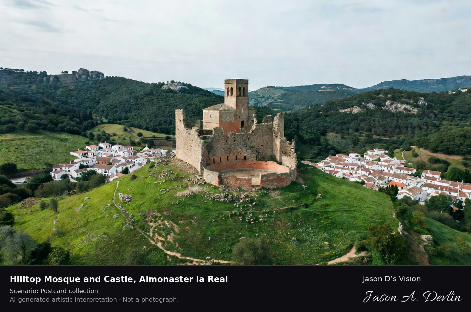
Night · From the Arrecife harbor, the Castillo de San Gabriel and the Puente de las Bolas near 28.9550,-13.5480. · AI-generated artistic interpretation
From the harbor, the Castillo de San Gabriel stands on its islet at the end of the Puente de las Bolas — the little fortress floodlit against the night, its cannonballs-on-pillars bridge arching across the dark water. The harbor lights of Arrecife glow behind it while the causeway's lamps trace a line to the castle. Lanzarote's old pirate-proof fortress keeps its watch over the capital's bay.
Postcard collection
Night
Viewpoint, conditions & editions
From the Arrecife waterfront near 28.9550,-13.5480, looking across the harbor at the Castillo de San Gabriel.
Castle illumination is harbor lamps and moonlight only; floodlighting is neither depicted nor claimed.
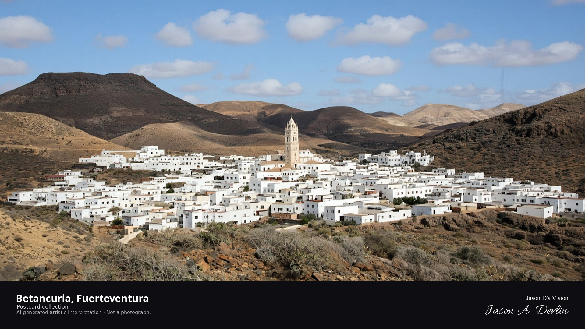
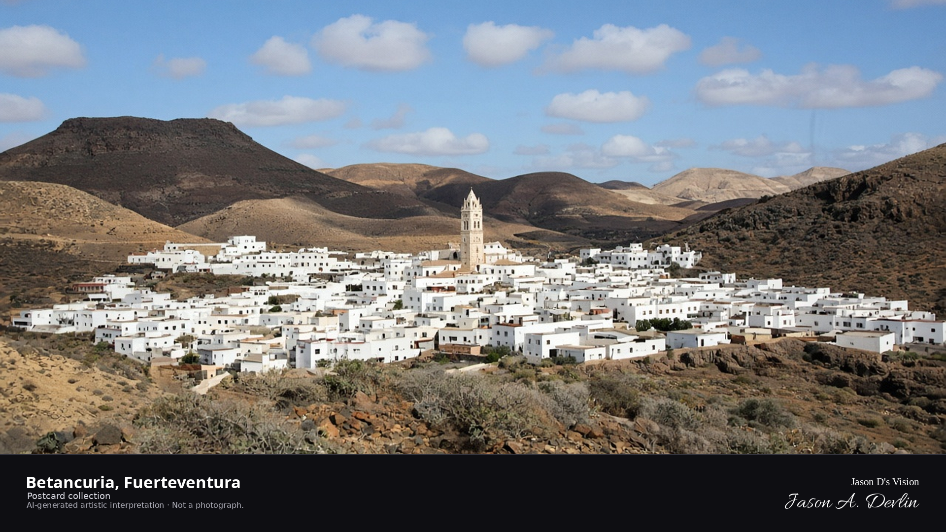
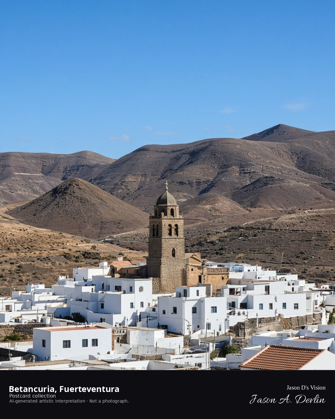
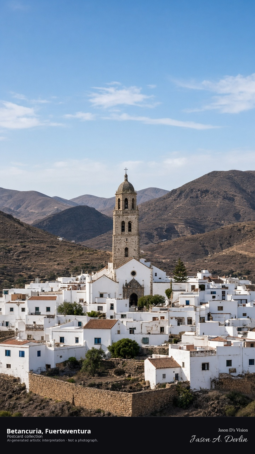
Night · From Betancuria old capital, whitewashed houses under moonlight near 28.4280,-14.0570. · AI-generated artistic interpretation
From the old capital's lanes, Betancuria's whitewashed houses glow under the moonlight — low white facades and the church tower standing out against the dark volcanic hills that ring the valley. The village sleeps in silver light, its streets empty and still. Founded as the island's first capital in 1404, Betancuria is Fuerteventura's historic jewel, luminous and quiet in the night.
Postcard collection
Night
Viewpoint, conditions & editions
From the hillside above Betancuria near 28.4280,-14.0570, looking over the old capital.
Village lamps are generic and minimal; no specific fixtures claimed.
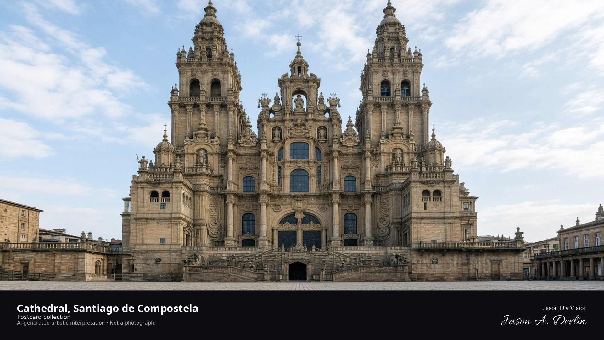
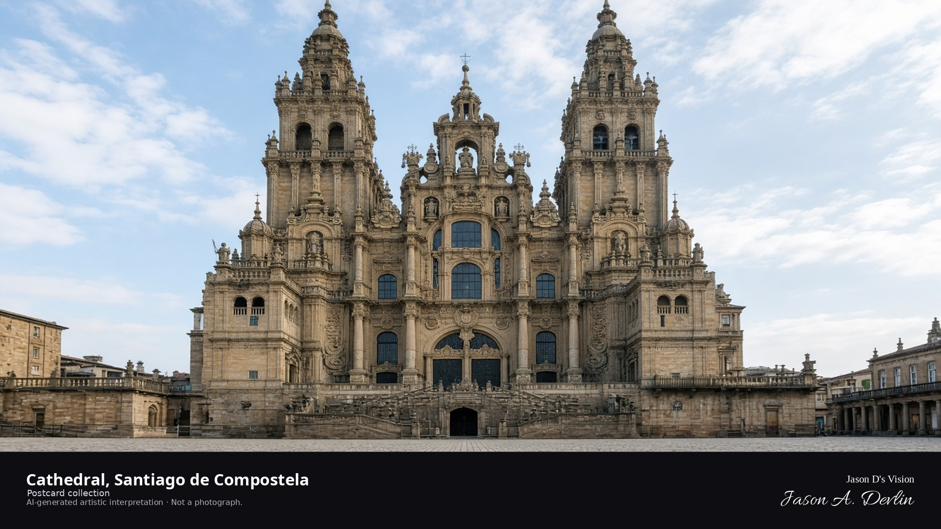
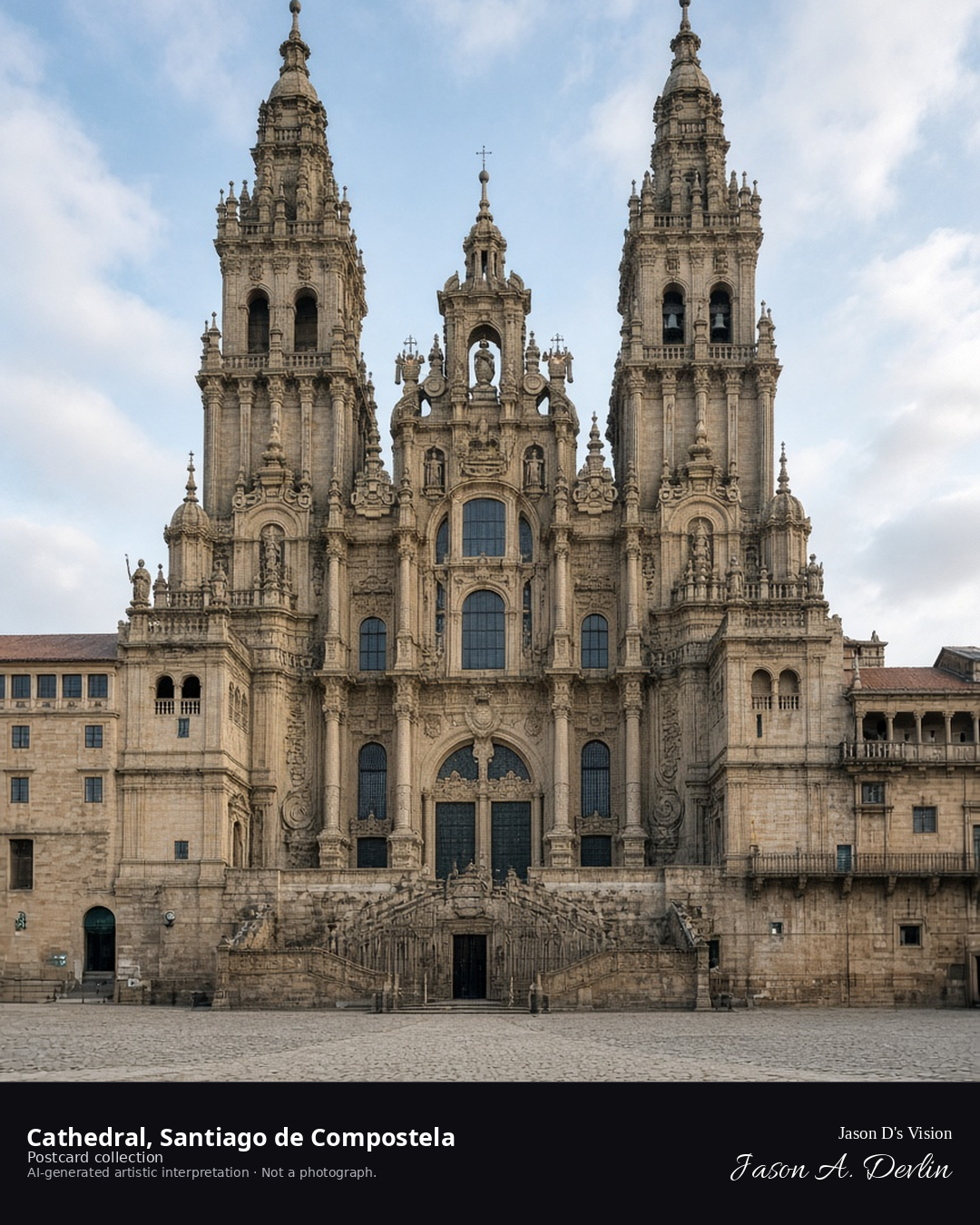
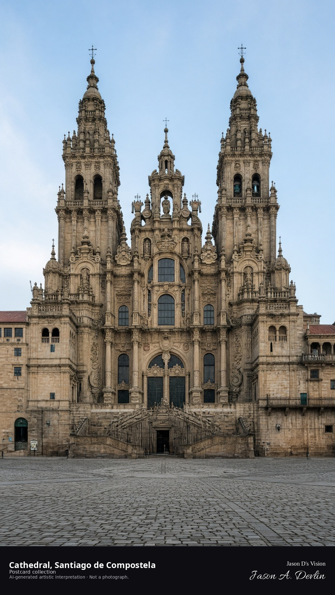
Night · From the Santiago de Compostela Cathedral from the Praza do Obradoiro near 42.8806,-8.5446. · AI-generated artistic interpretation
From the Praza do Obradoiro, the cathedral's baroque facade rises before you — the great west front floodlit, with its twin towers framing the carved stonework at the center of the frame. The vast granite square stretches out in the foreground, empty and echoing at this hour. This is the end of the Camino, the goal of a million pilgrimages — and by night the cathedral holds the square in solemn, golden light.
Postcard collection
Night
Viewpoint, conditions & editions
From the Praza do Obradoiro near 42.8806,-8.5446, looking at the Obradoiro façade of the cathedral.
Façade illumination is plaza lamps and moonlight only; floodlighting is neither depicted nor claimed.
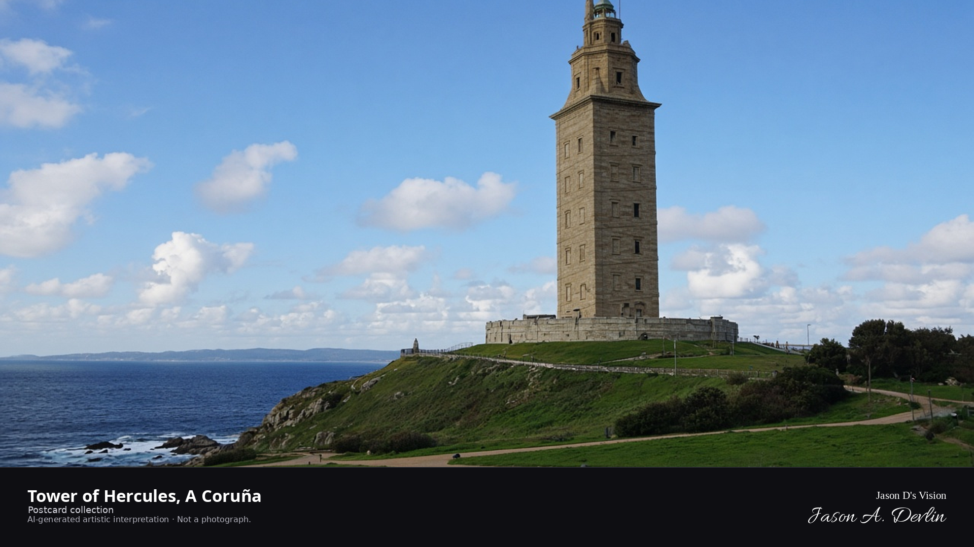
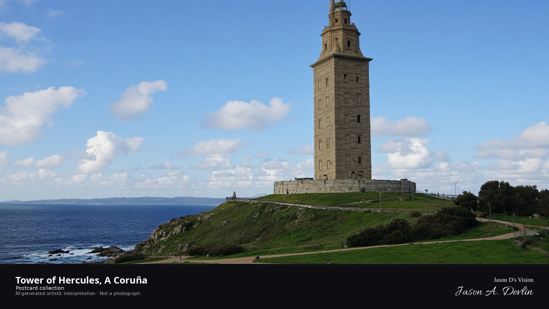
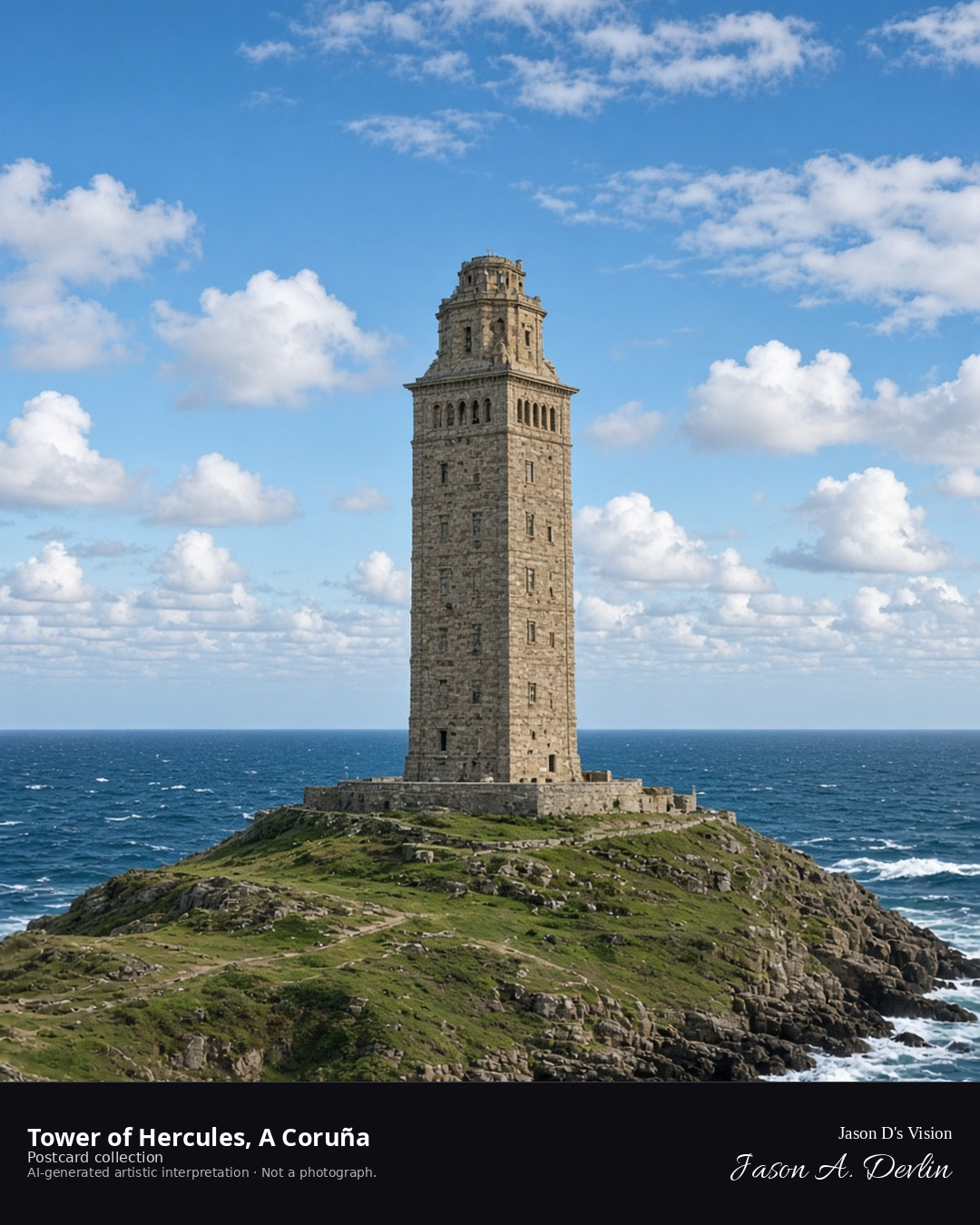
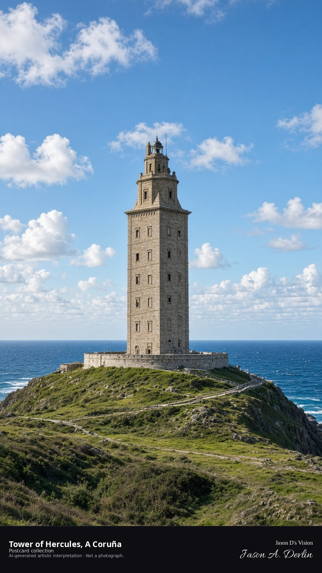
Night · From the Tower of Hercules, beacon glowing, near 43.3859,-8.4064. · AI-generated artistic interpretation
From the headland, the Tower of Hercules rises against the night — the ancient Roman lighthouse floodlit, its beacon glowing from the top while the Atlantic lies black around the point. The two-thousand-year-old tower stands at the frame's center, waves breaking faintly on the rocks below. The oldest working lighthouse in the world, still guiding ships after twenty centuries.
Postcard collection
Night
Viewpoint, conditions & editions
From the headland park near 43.3859,-8.4064, looking up at the Tower of Hercules.
Only the lighthouse's own beacon is depicted as illumination; floodlighting is neither depicted nor claimed.
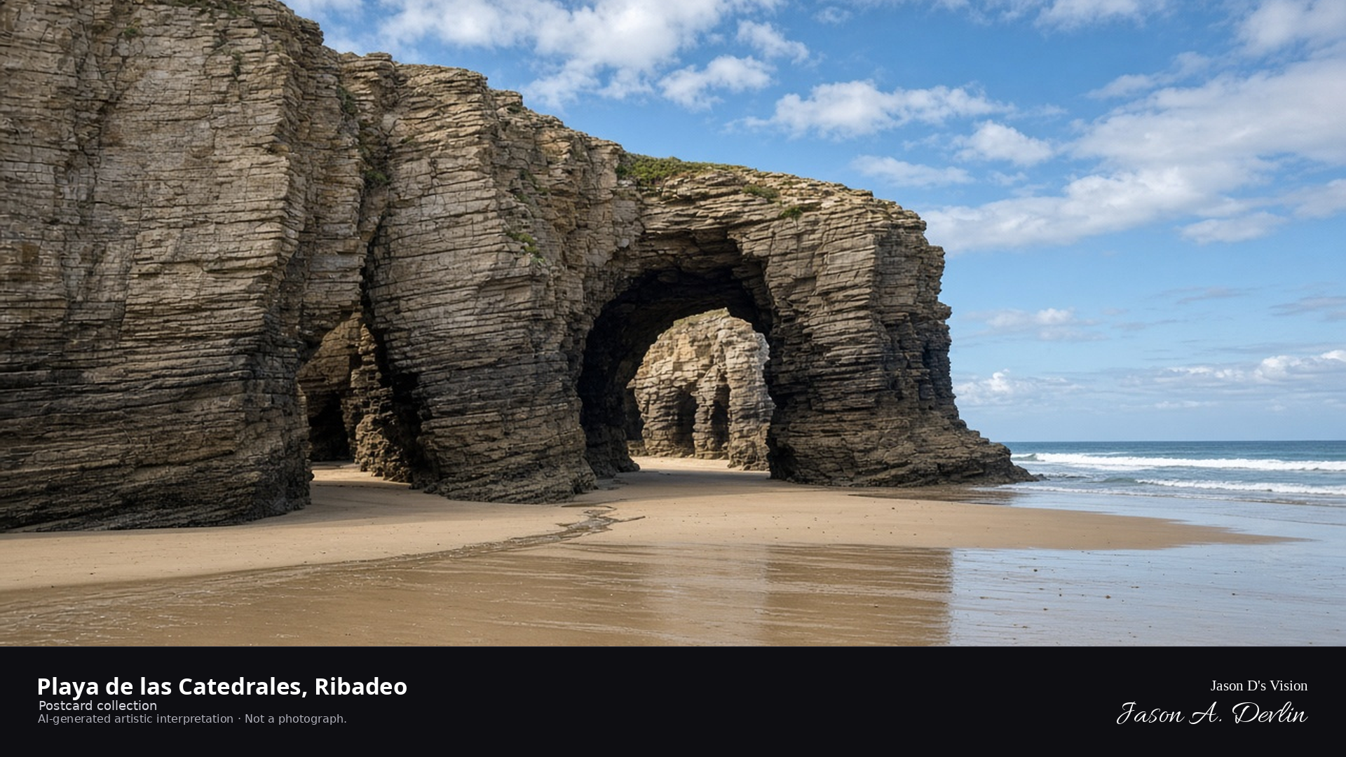
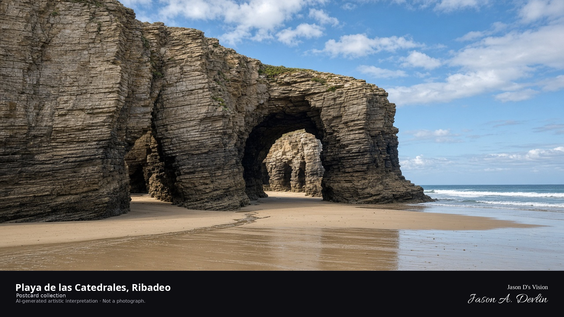
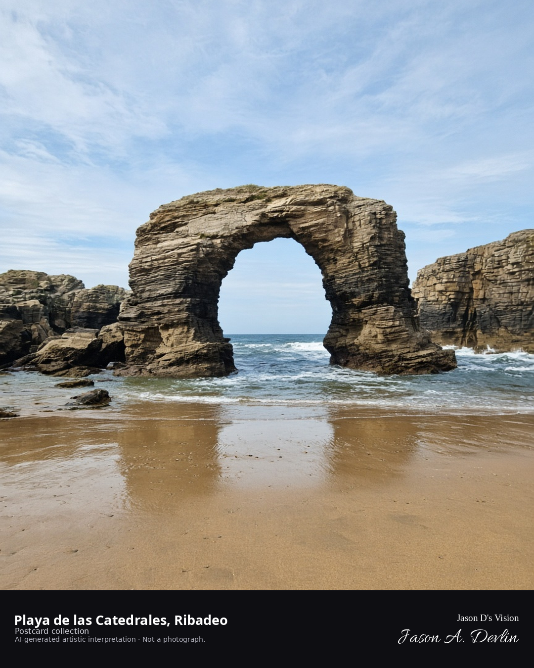
Night · From the Playa de las Catedrales, moonlit arches through drifting cloud near 43.7884,-7.1596. · AI-generated artistic interpretation
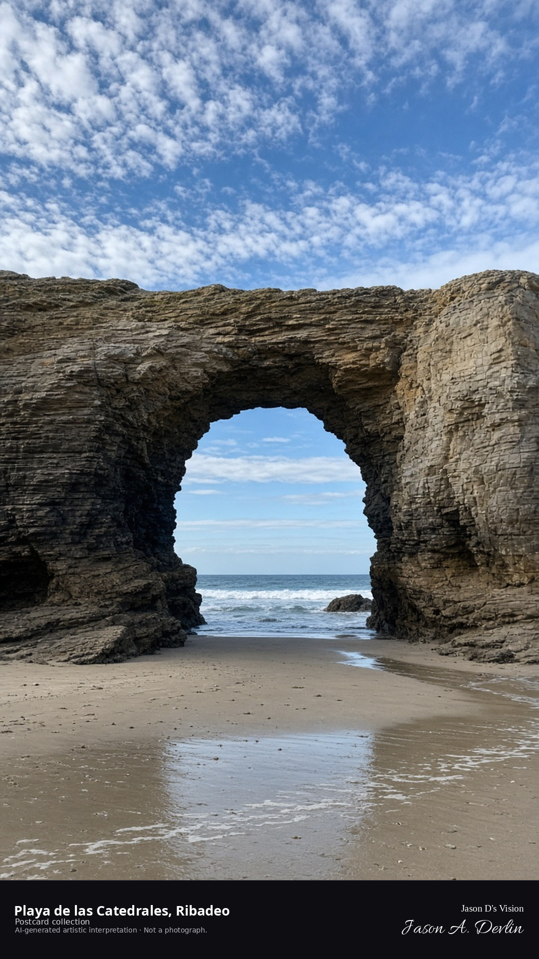
From the sand, the great stone arches of Playa de las Catedrales rise in the moonlight — the natural buttresses and vaults of the cliffs standing like a Gothic nave while clouds drift across the moon. The arches catch silver light on their edges, with the sea washing dark at their feet. At low tide this beach is a cathedral of rock; by night, under a veiled moon, it's pure drama.
Postcard collection
Night
Viewpoint, conditions & editions
From the beach near 43.7884,-7.1596, looking along the slate arches.
Low tide assumed but unverified; tide state not claimed.
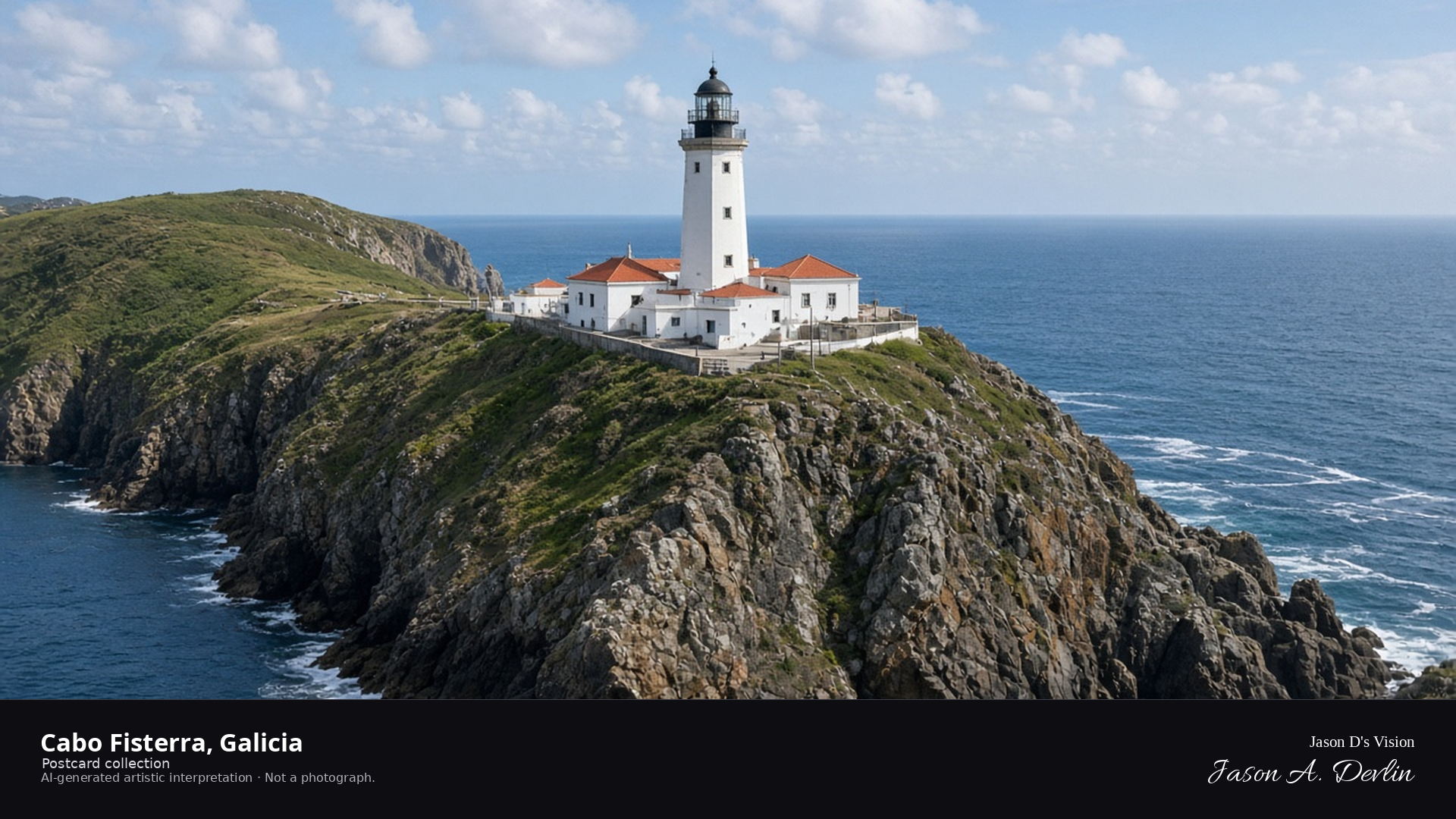
Night · From the Cabo Fisterra lighthouse, beacon glowing, above the Atlantic near 42.8830,-9.2720. · AI-generated artistic interpretation
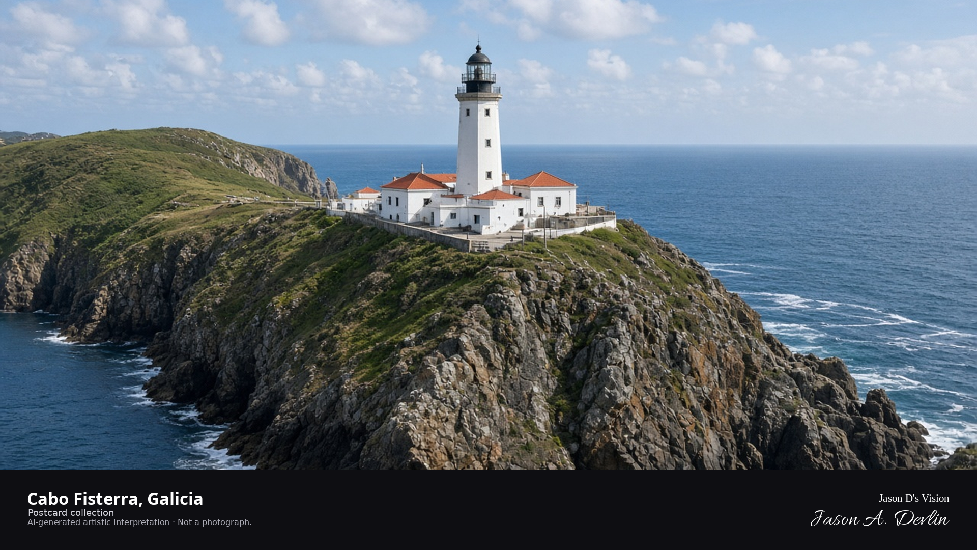
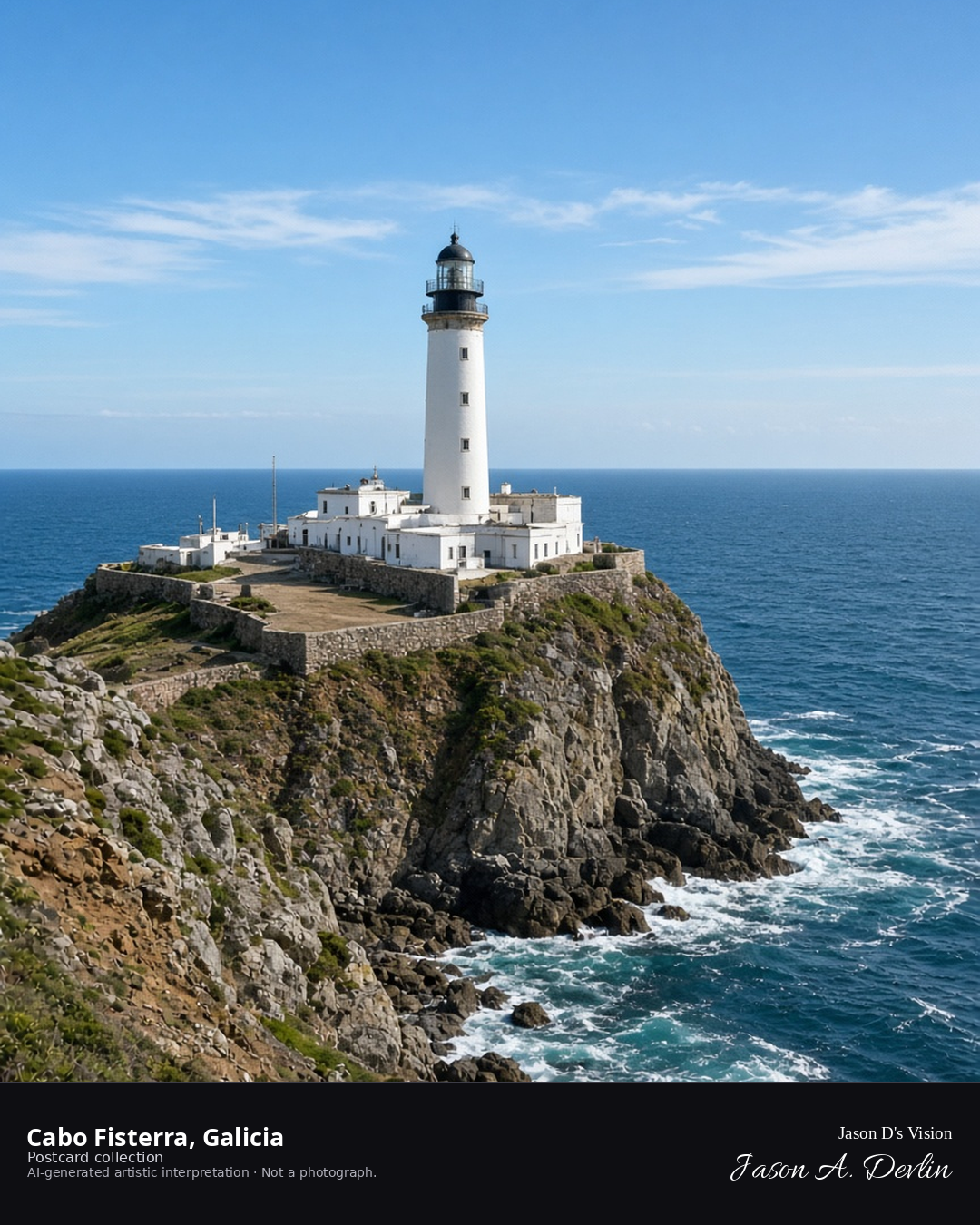
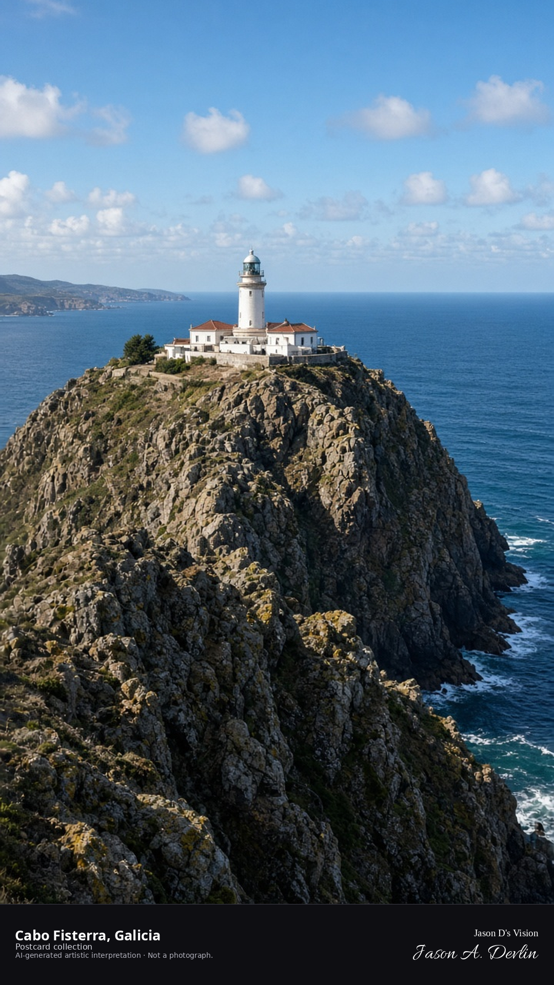
From the cape, the Fisterra lighthouse stands above the Atlantic — its beacon sweeping the night, the tower floodlit white against the dark while the ocean stretches black to the horizon. The rocks fall away below the light, and the beam turns slowly over the water. The end of the world, the Romans called it — and the lighthouse still marks the edge of the known.
Postcard collection
Night
Viewpoint, conditions & editions
From the cape near 42.8830,-9.2720, looking at the Fisterra lighthouse.
Only the lighthouse's own beacon is depicted as illumination.
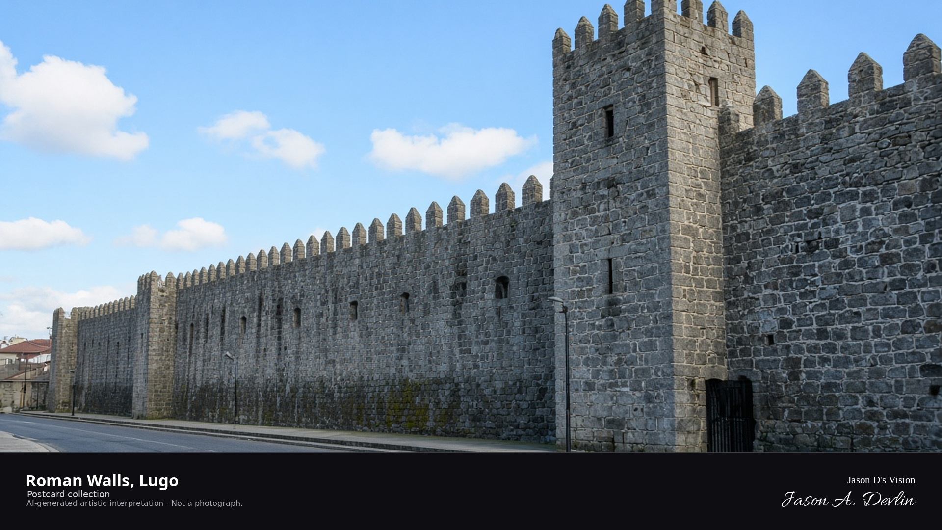
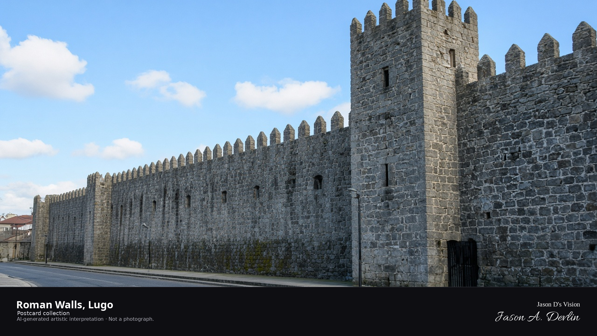
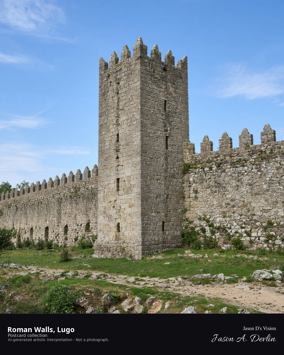
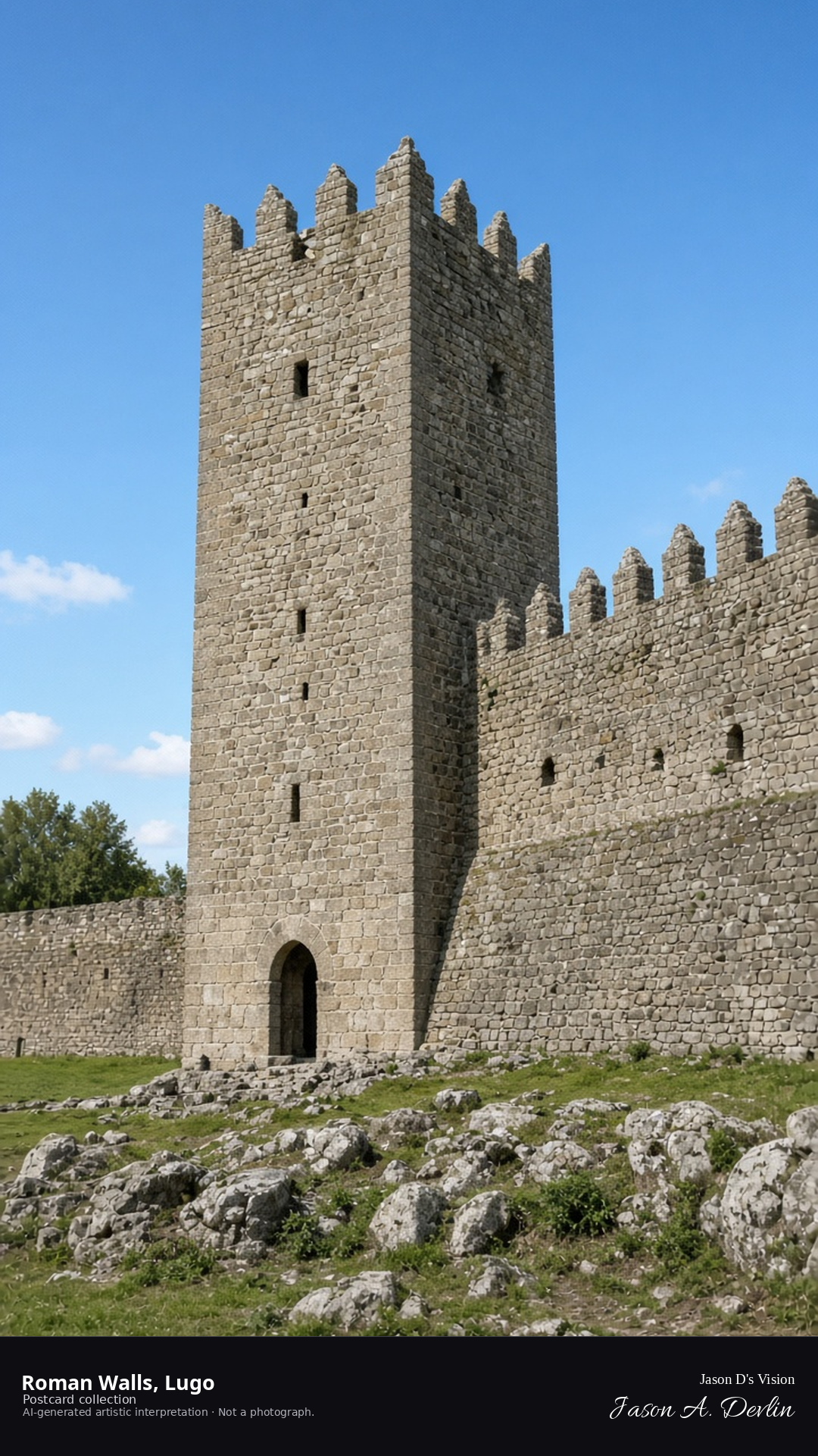
Night · From the Roman Walls of Lugo, tower and parapet, in drifting mist near 43.0090,-7.5570. · AI-generated artistic interpretation
From the wall walk, the Roman walls of Lugo run into drifting mist — tower and parapet picked out by lamplight, the ancient stonework glowing then fading as the mist moves through. The walls' great circuit stretches left and right into the dark, the only complete Roman walls in the world. Two thousand years old and still standing guard over Lugo, half-lost in the Galician mist.
Postcard collection
Night
Viewpoint, conditions & editions
From outside the walls near 43.0090,-7.5570, looking at the Roman walls with a defensive tower.
Wall illumination is ordinary street lamps only; floodlighting is neither depicted nor claimed.
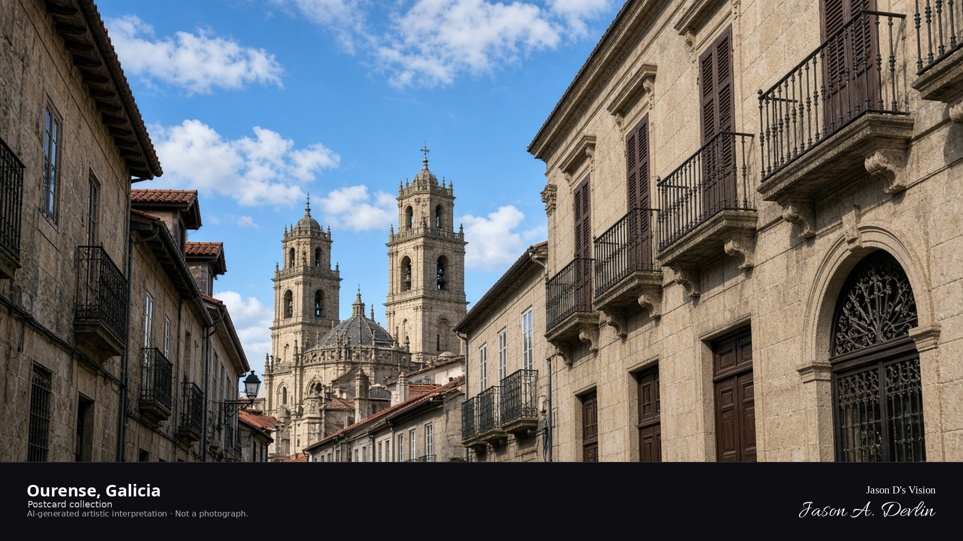
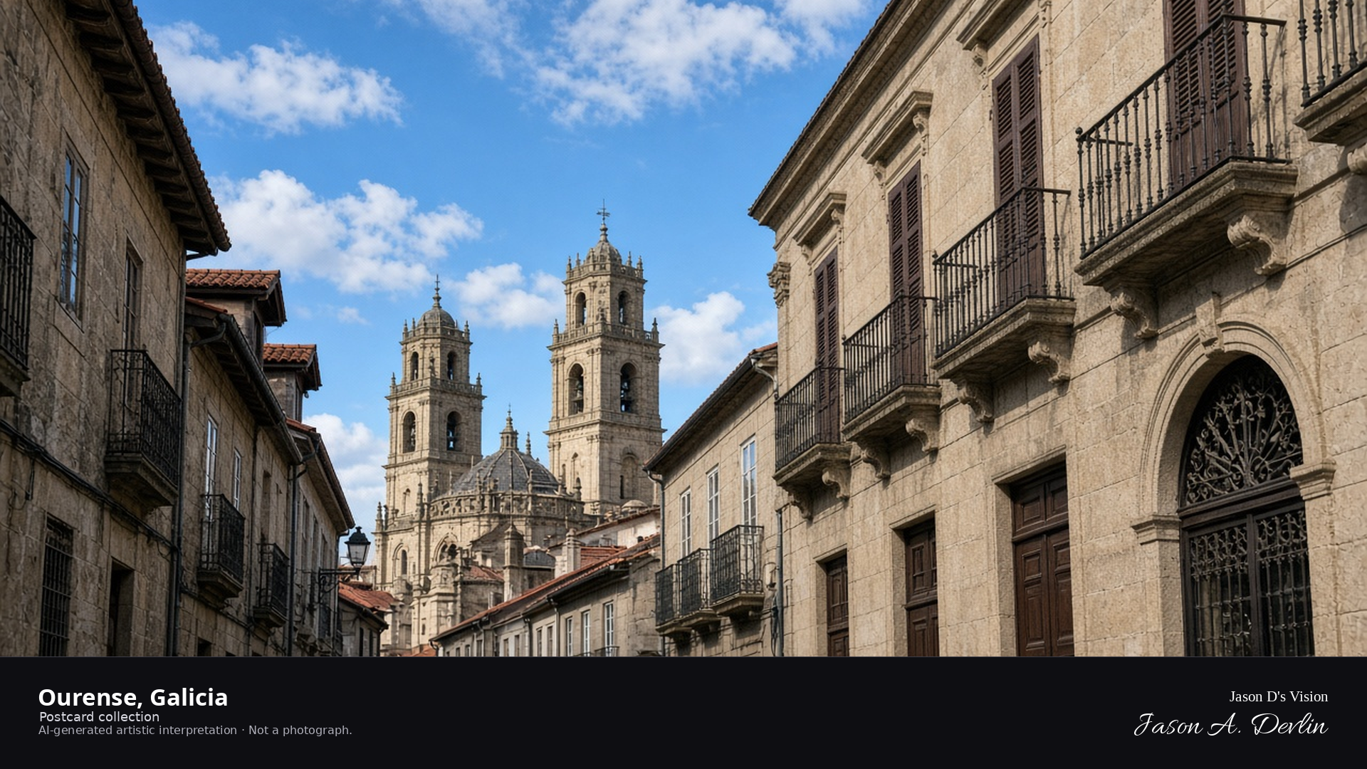
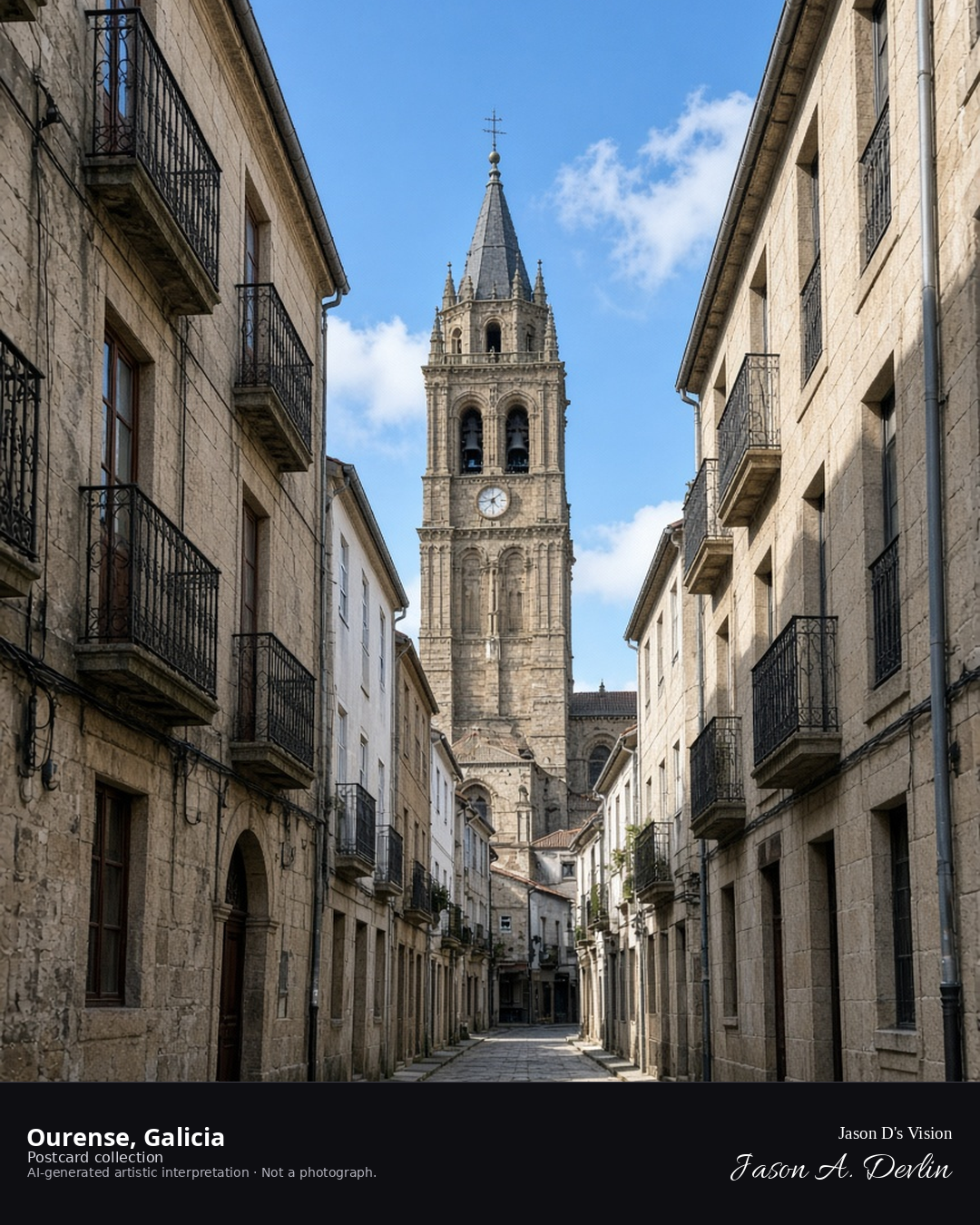
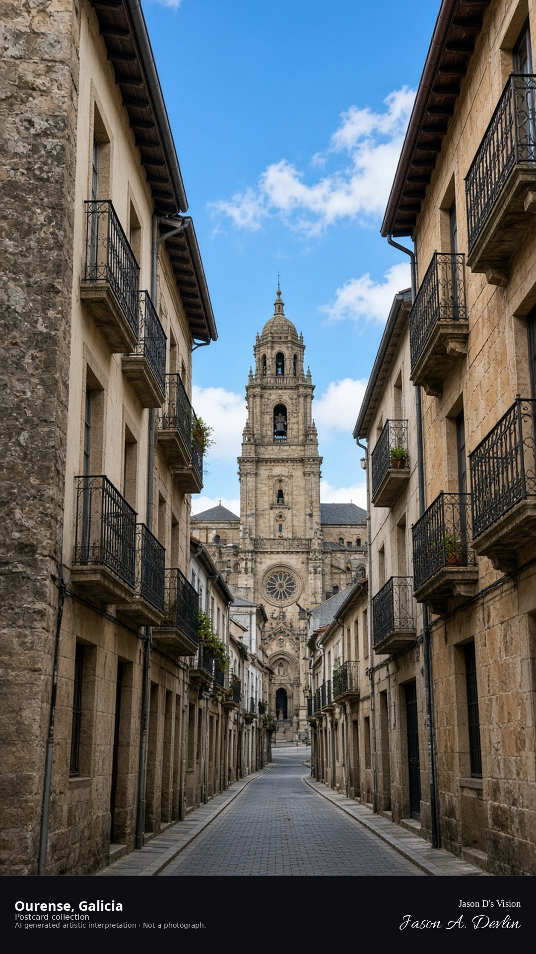
Night · From the Ourense old town, stone façades under street lamps near 42.3360,-7.8640. · AI-generated artistic interpretation
From the old town's lanes, Ourense's stone facades glow under the street lamps — granite houses and church towers lit warm against the night, with the narrow streets running between them. The lamplight catches the wet stone and the carved doorways, and the old quarter hums quietly. Ourense is Galicia's city of hot springs and old stone; by night its granite heart glows.
Postcard collection
Night
Viewpoint, conditions & editions
From the old town near 42.3360,-7.8640, looking at historic façades.
Illumination is ordinary street lamps only; floodlighting is neither depicted nor claimed.
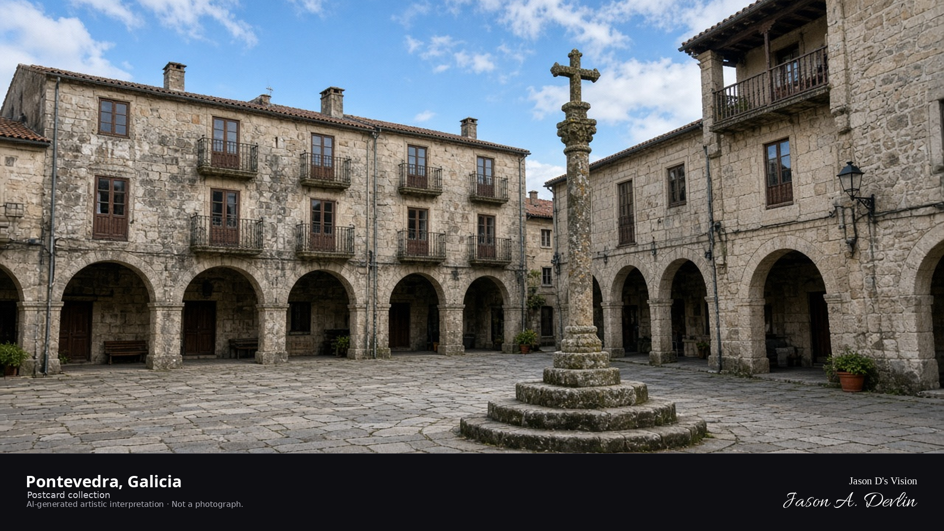
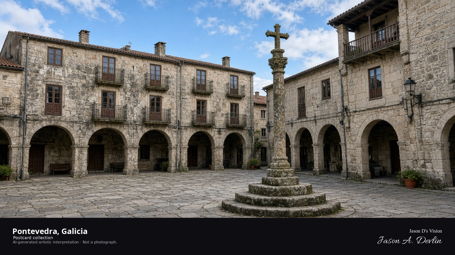
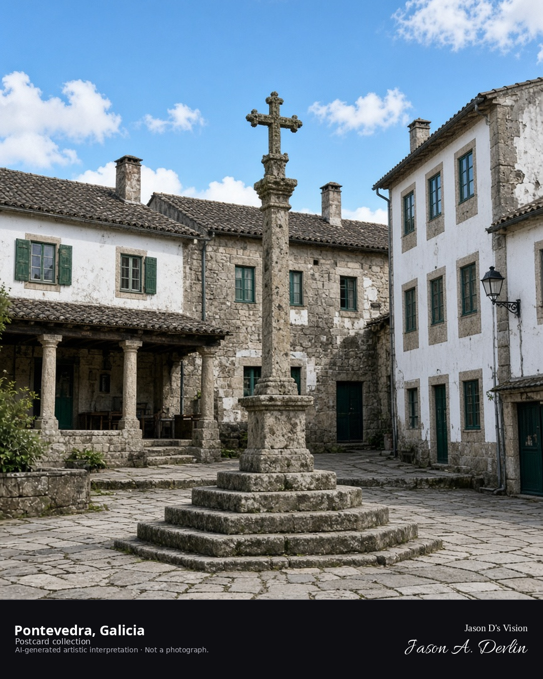
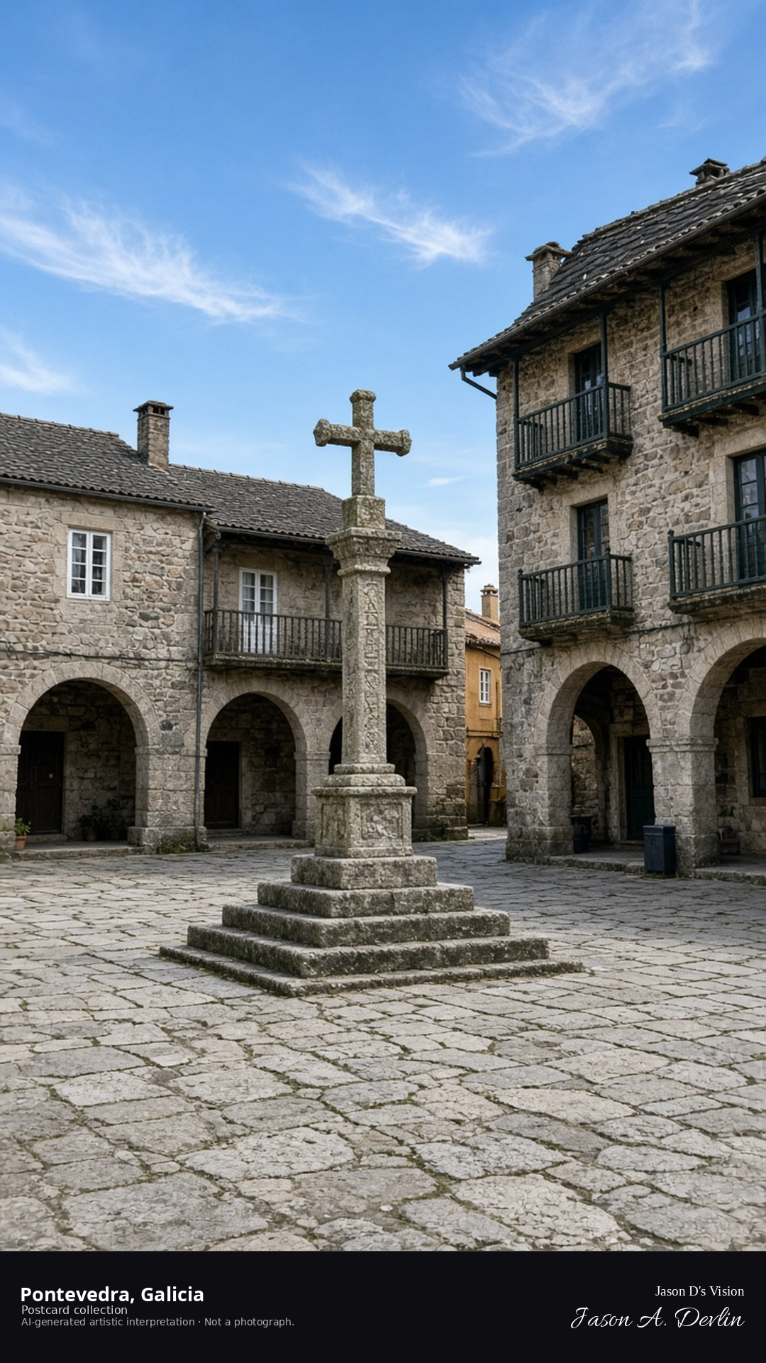
Night · From the Praza da Leña in Pontevedra, stone cross and lamps near 42.4310,-8.6440. · AI-generated artistic interpretation
From the Praza da Leña, the old square glows under its lamps — the stone cross standing at the center with the arcaded houses of Pontevedra's historic quarter ranged around it. Warm light fills the little plaza, catching the granite facades and the cross's carved detail. This is one of Galicia's most beloved squares, and on a quiet night it feels like the whole old town is holding its breath.
Postcard collection
Night
Viewpoint, conditions & editions
From the Praza da Leña near 42.4310,-8.6440, looking across the historic plaza.
Illumination is ordinary street lamps only; floodlighting is neither depicted nor claimed.
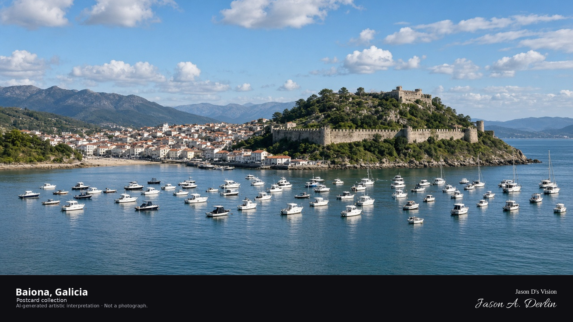
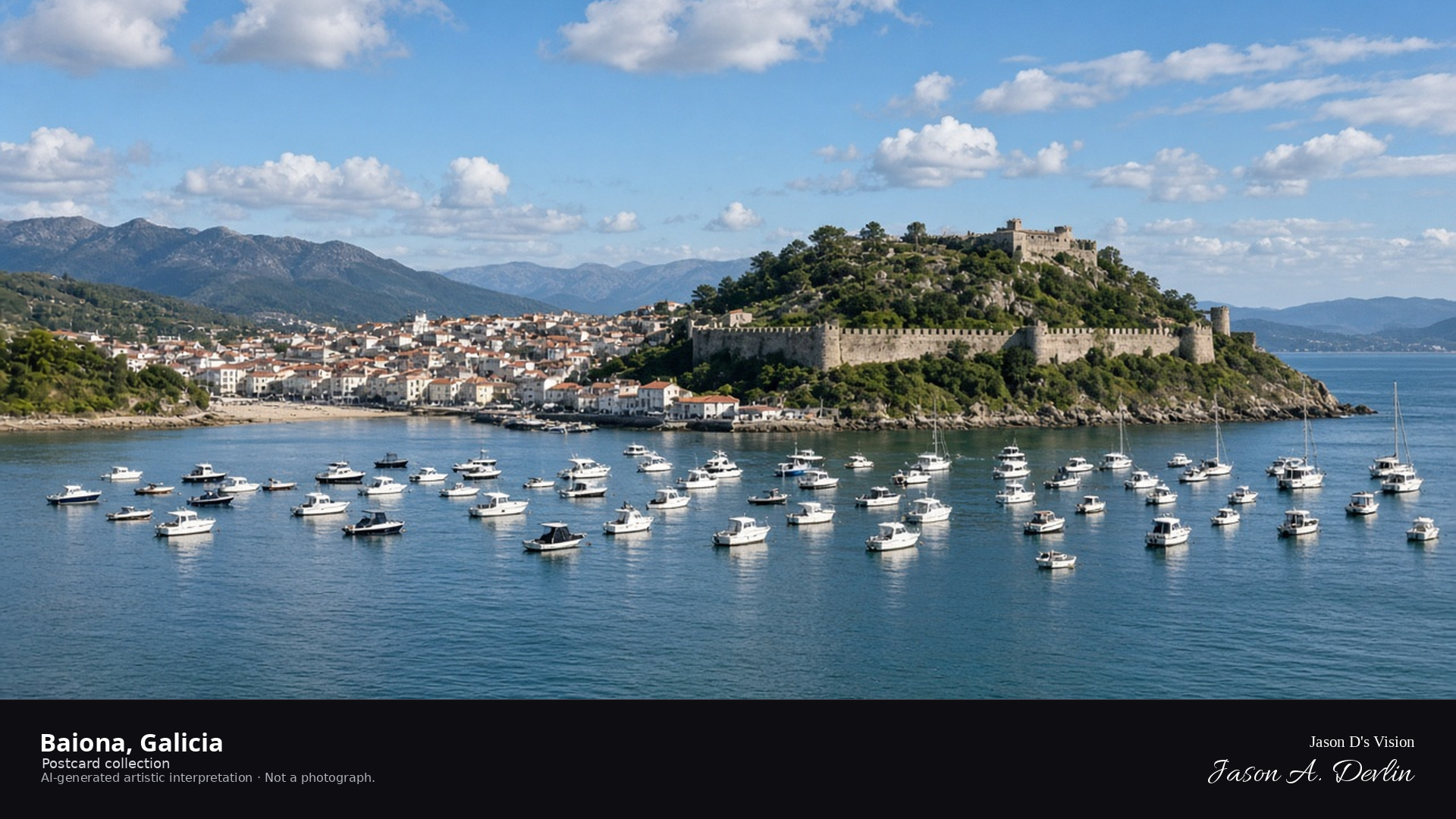
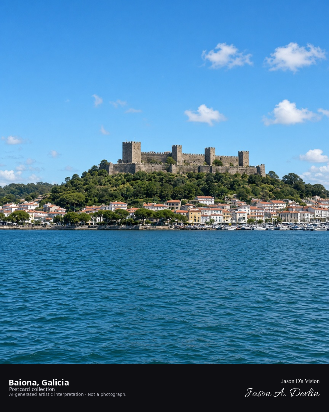
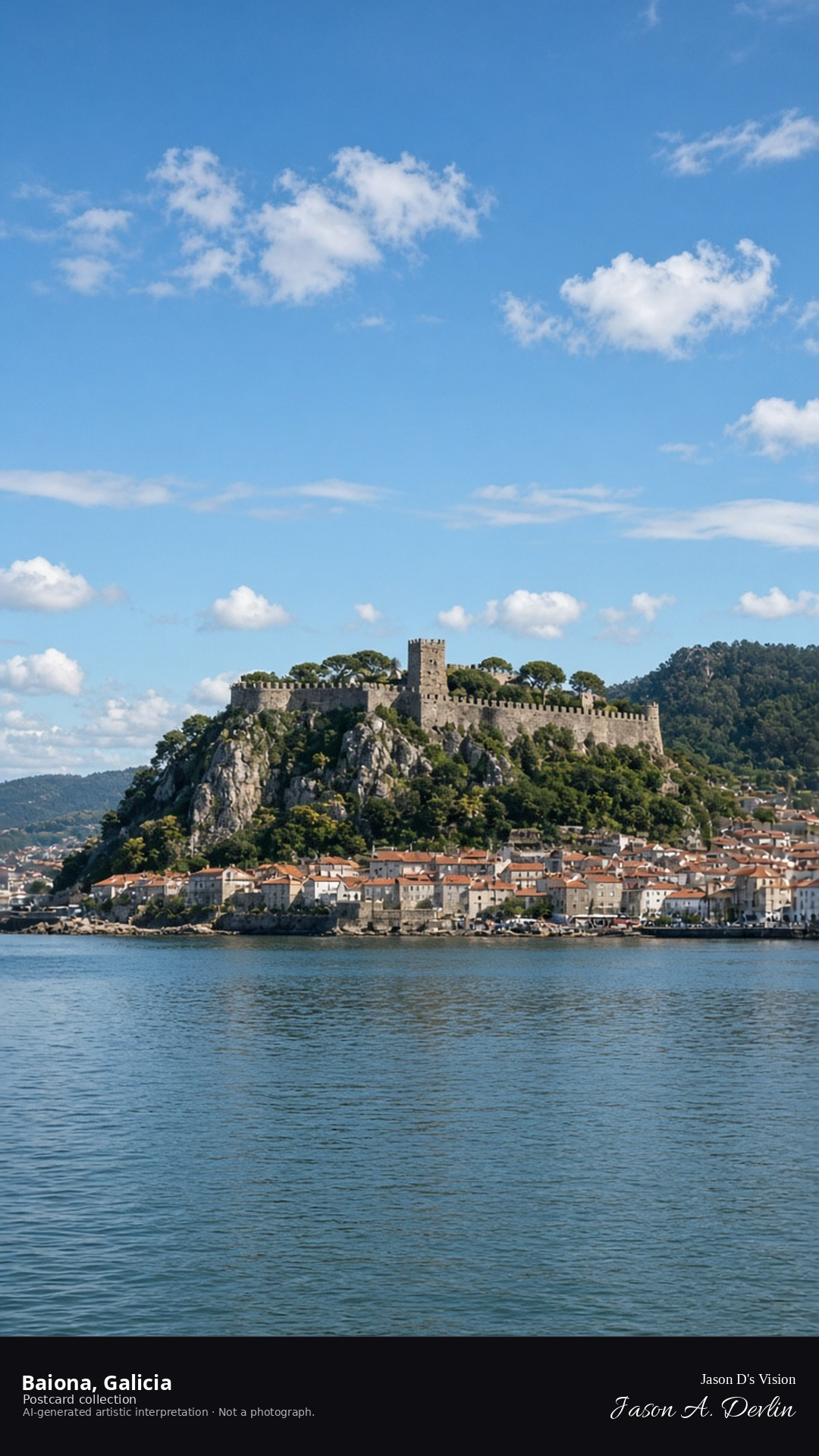
Night · From the Baiona bay, town lights reflected in moonlit water near 42.1180,-8.8500. · AI-generated artistic interpretation
From the bay, Baiona's town lights reflect in the moonlit water — the old town's glow spread along the shore with the castle-topped peninsula dark against the sky. The moon lays a silver path across the bay while the harbor lamps twinkle along the waterfront. Baiona is where the Pinta brought the news of the New World; tonight its bay lies peaceful under the moon.
Postcard collection
Night
Viewpoint, conditions & editions
From the bay near 42.1180,-8.8500, looking at the old town lights.
Town and harbor lamps are generic; no specific fixtures claimed.
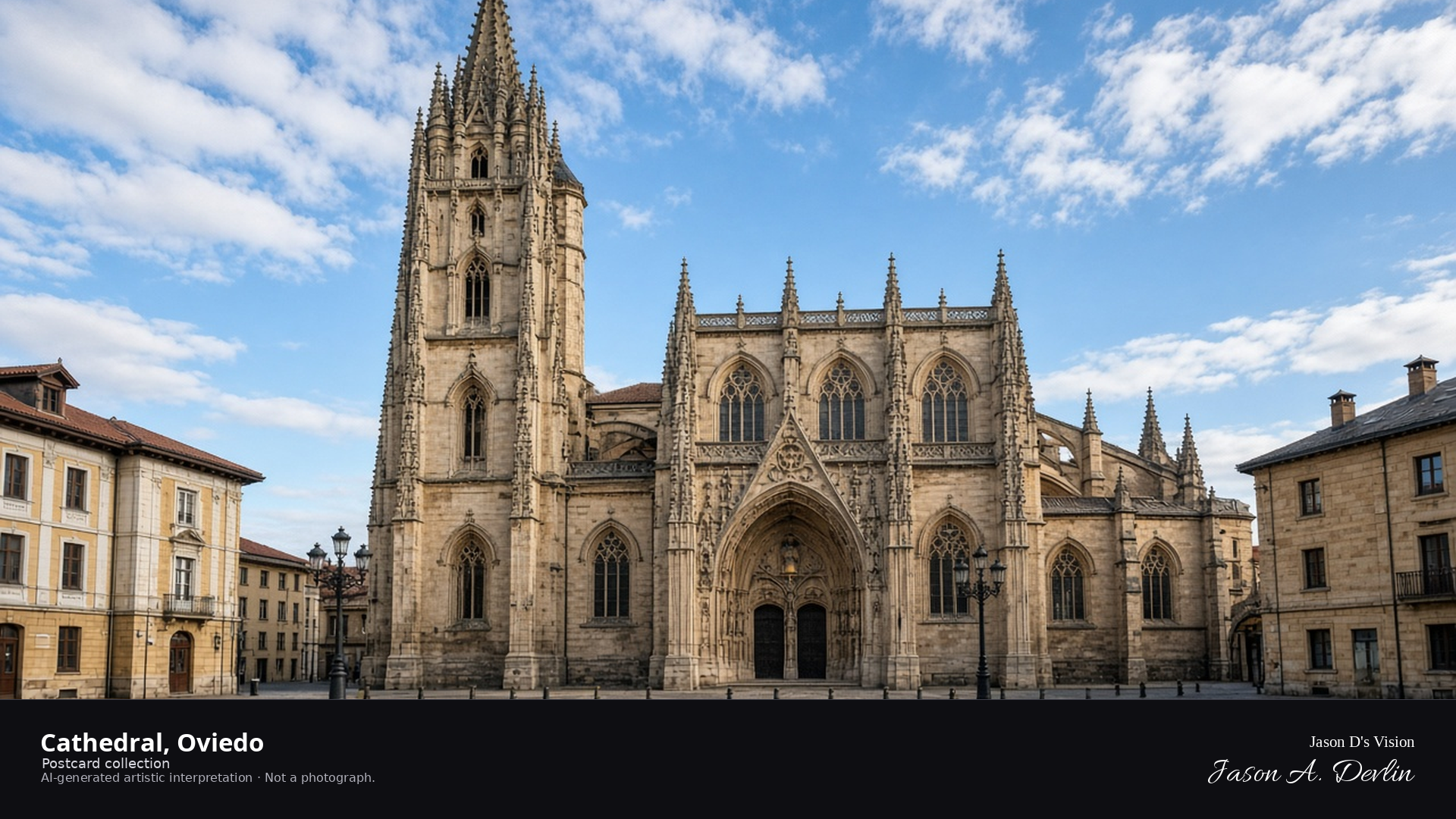
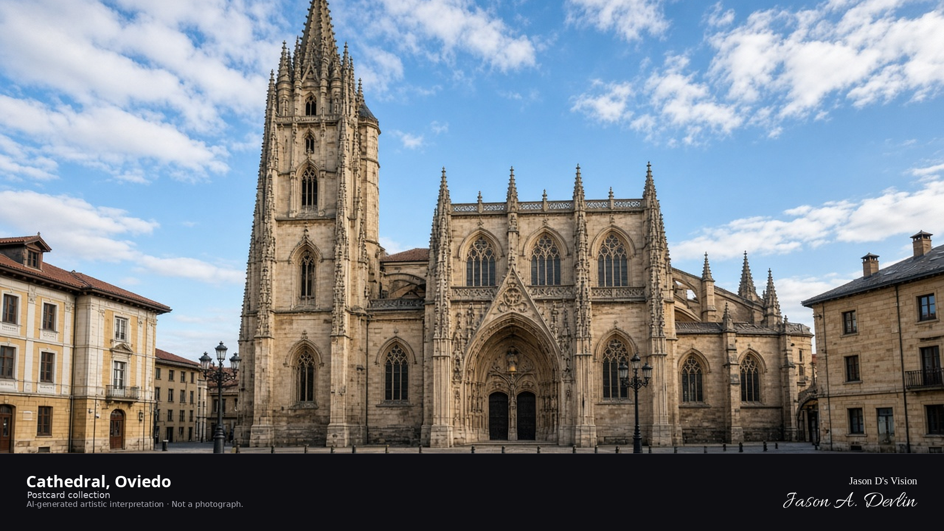
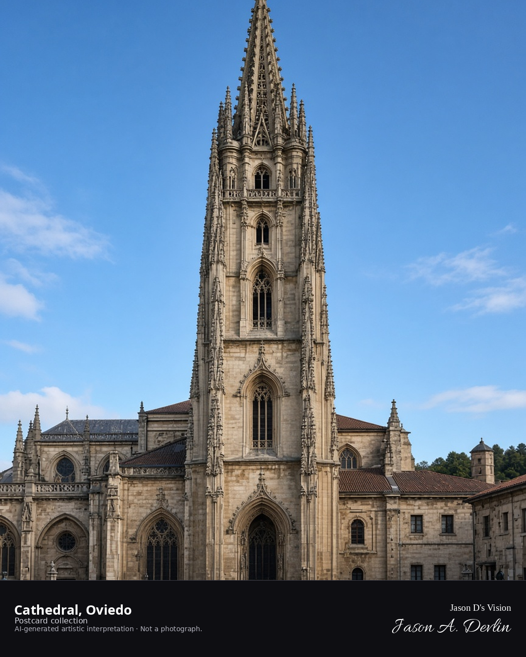
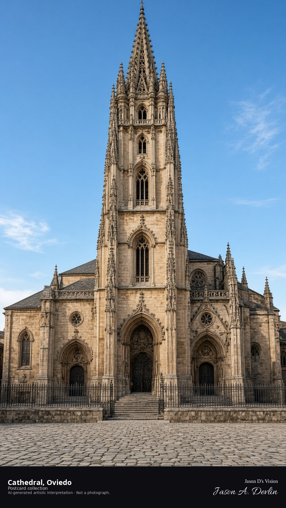
Night · From the Oviedo Cathedral, Gothic tower, from the square near 43.3600,-5.8450. · AI-generated artistic interpretation
From the square, Oviedo Cathedral's Gothic tower rises against the night — the great single spire floodlit, with the cathedral's facade glowing below it and the plaza quiet at its feet. The tower's delicate stonework catches the light as it climbs, a masterpiece of Asturian Gothic. Oviedo's cathedral keeps the city's main square in watchful, lamplit calm.
Postcard collection
Night
Viewpoint, conditions & editions
From the square near 43.3600,-5.8450, looking at the Oviedo Cathedral.
Façade illumination is plaza lamps and moonlight only; floodlighting is neither depicted nor claimed.
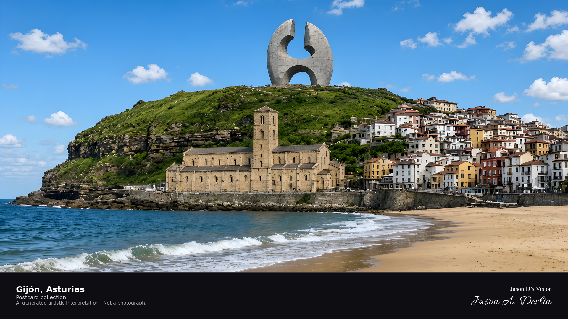
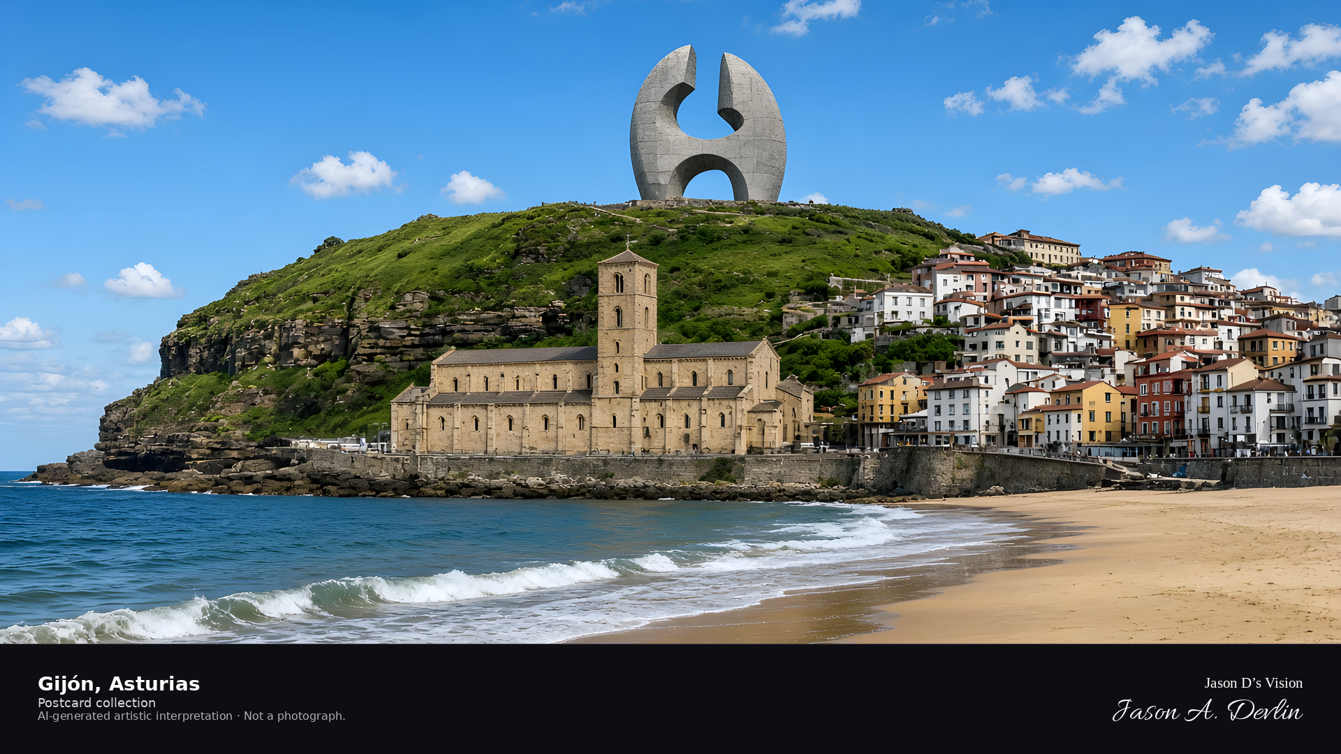
Night · San Pedro at the waterfront and the Elogio on the headland · AI-generated artistic interpretation
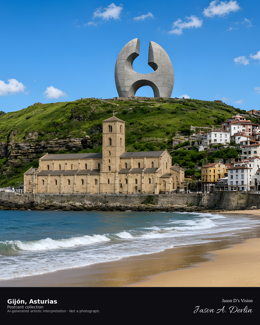
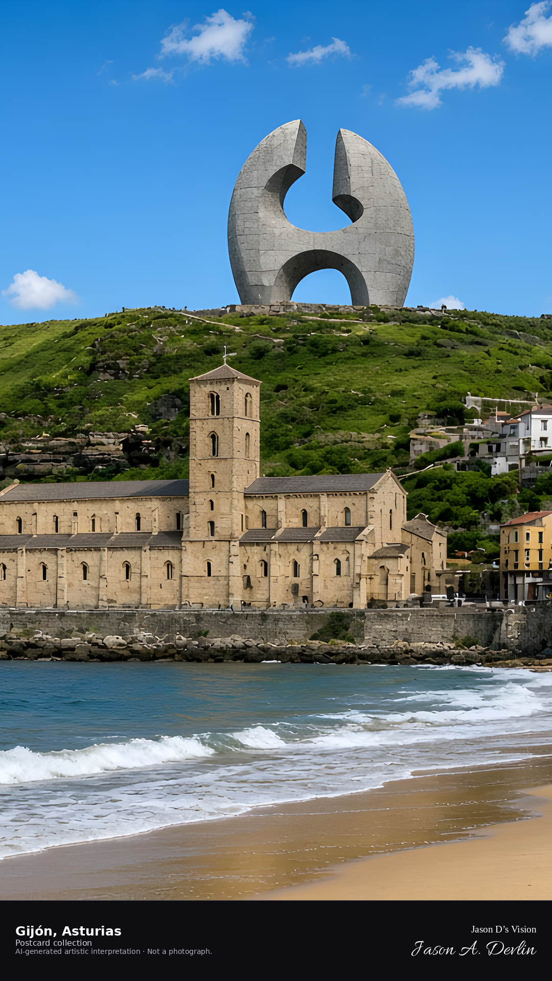
From the bay, San Pedro sits at sea level on Campo Valdés, a long sandstone church with a central façade tower. Cerro de Santa Catalina carries Chillida’s concrete Elogio del Horizonte. There is no church spire on the hill.
Postcard collection
Night
Viewpoint, conditions & editions
From the bay near 43.5450,-5.6610, looking at the old town lights.
17.5°C, WMO 0 clear, cloud 7%, precipitation 0.0 mm, wind 12.0 km/h. Sunrise 08:20, sunset 20:03. Night; no direct sunlight.
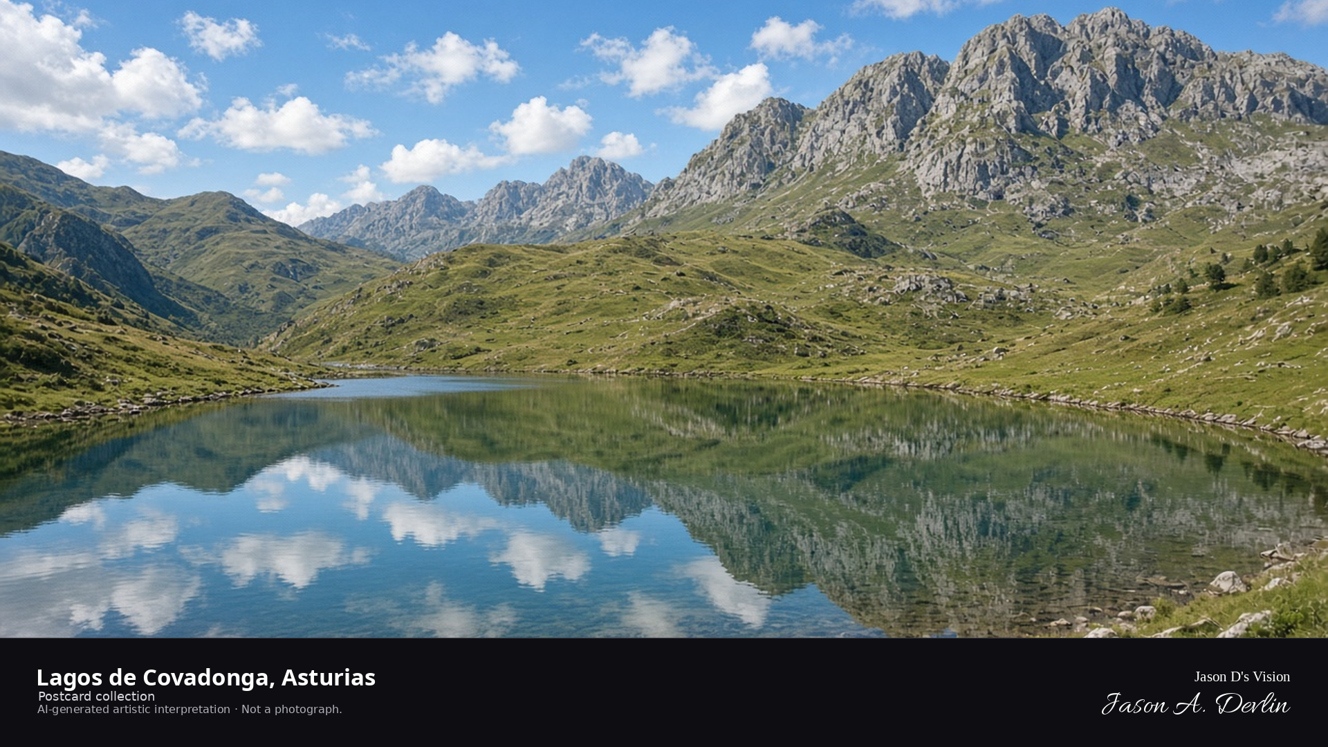
Night · From the Lagos de Covadonga, moonlit lake under the Picos near 43.2720,-4.9970. · AI-generated artistic interpretation
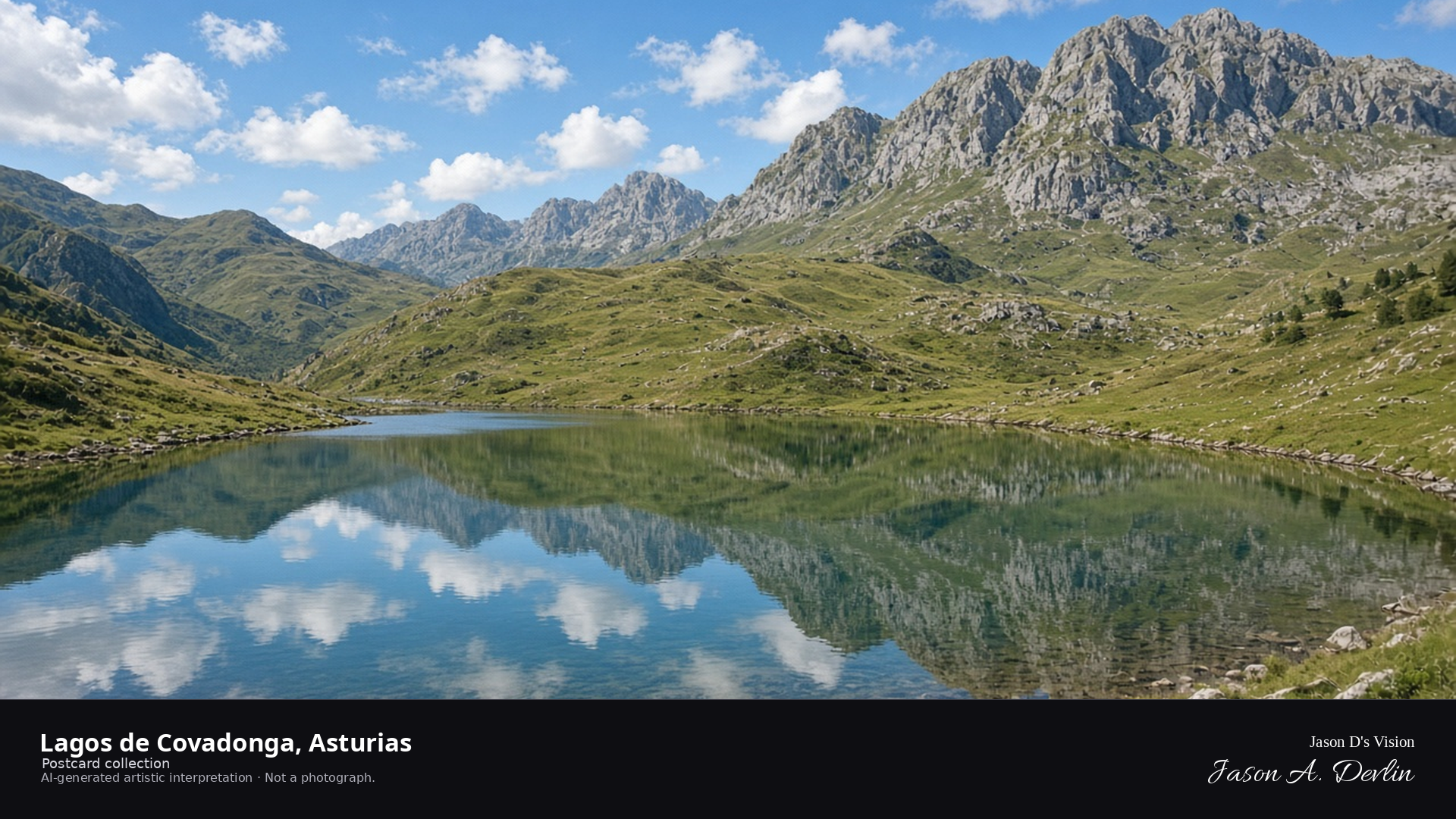
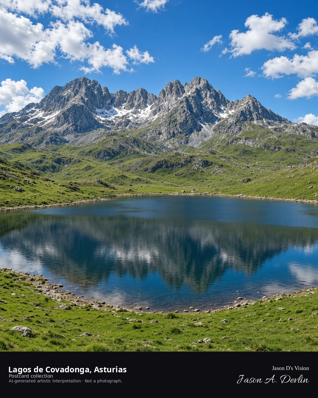
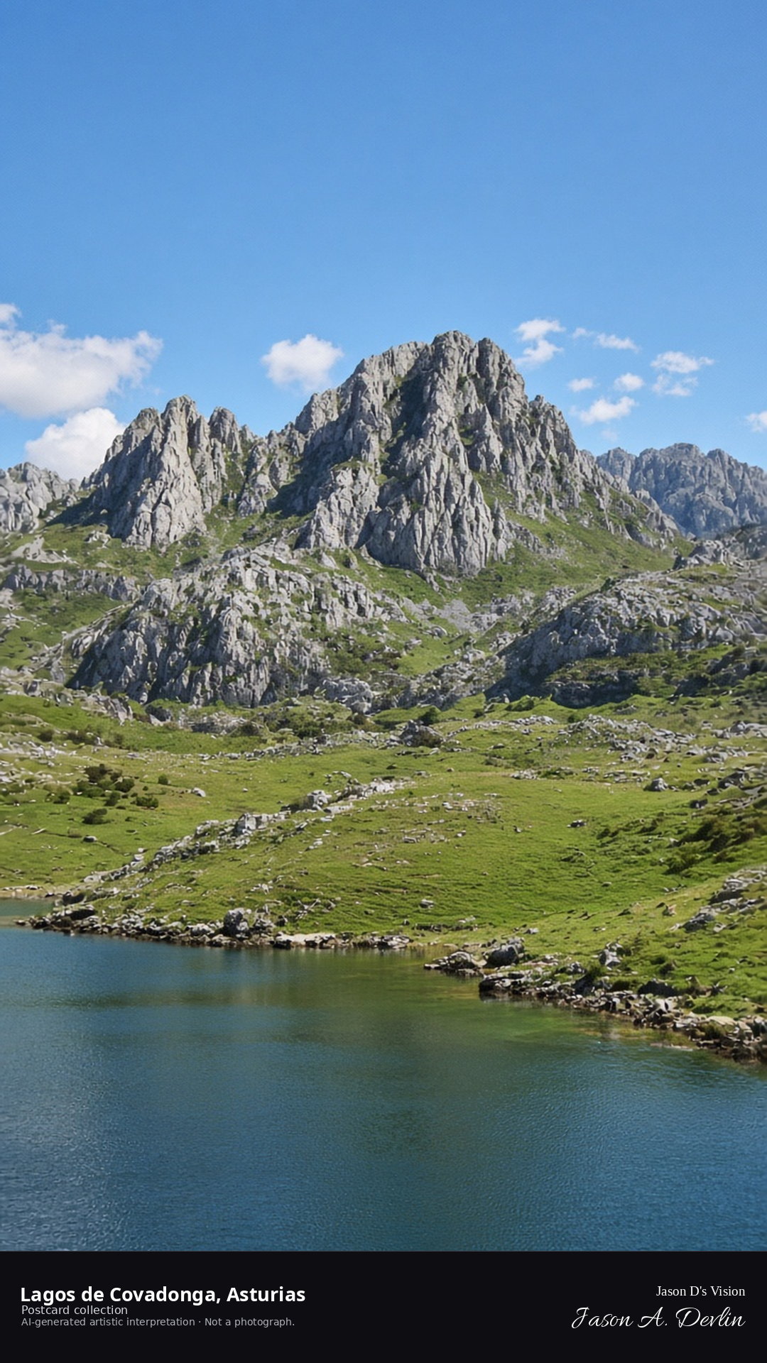
From the lakeshore, the Lagos de Covadonga lie moonlit under the Picos — the still water reflecting the stars with the great limestone peaks rising dark around it. The moon silvers the lake's surface while the mountains stand black against the sky. These are the sacred lakes of Asturias, where the Reconquista began; by night they're a mirror for the heavens.
Postcard collection
Night
Viewpoint, conditions & editions
From above the lake near 43.2720,-4.9970, looking over the Enol lake.
Which of the two lakes is depicted is not claimed with certainty; tide/snow conditions not relevant at night but unverified.
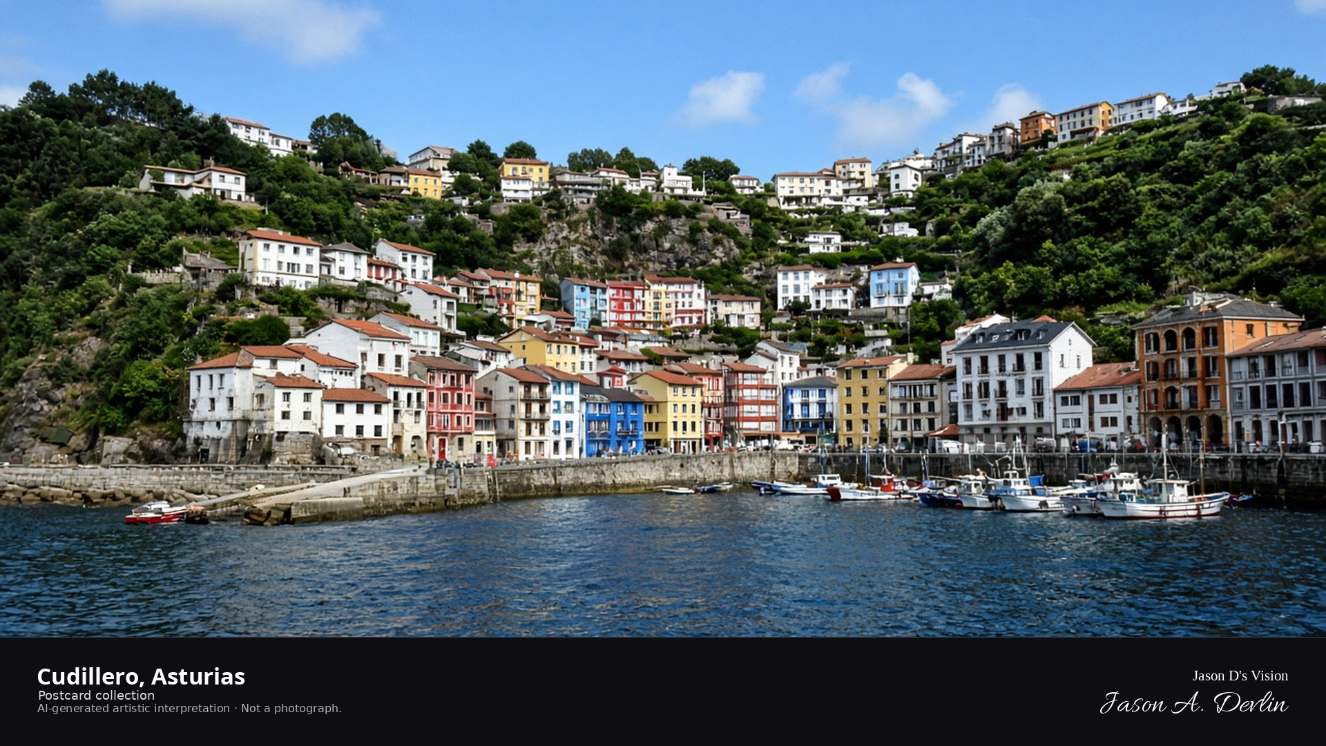
Night · From Cudillero, amphitheater of houses above the harbor near 43.5640,-6.1450. · AI-generated artistic interpretation
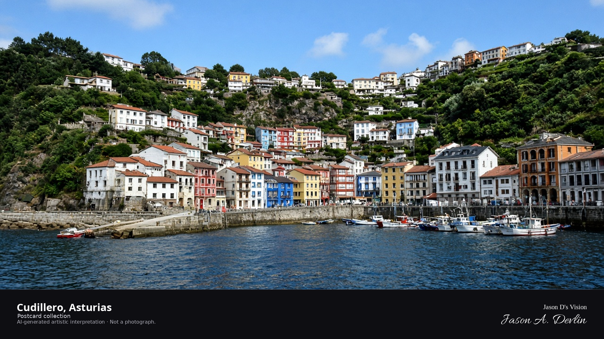
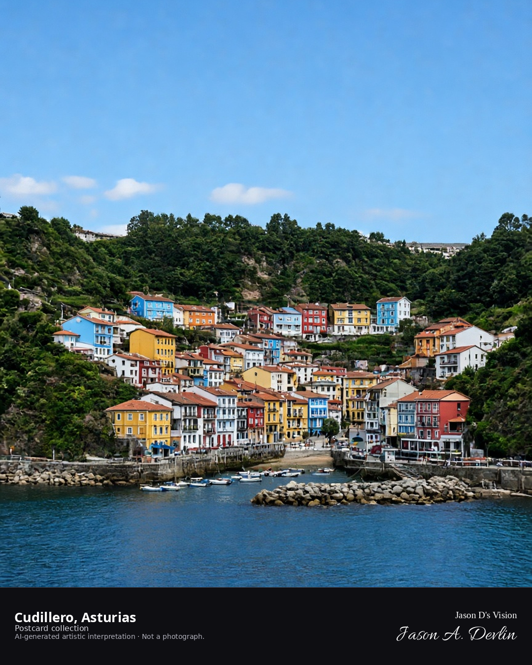
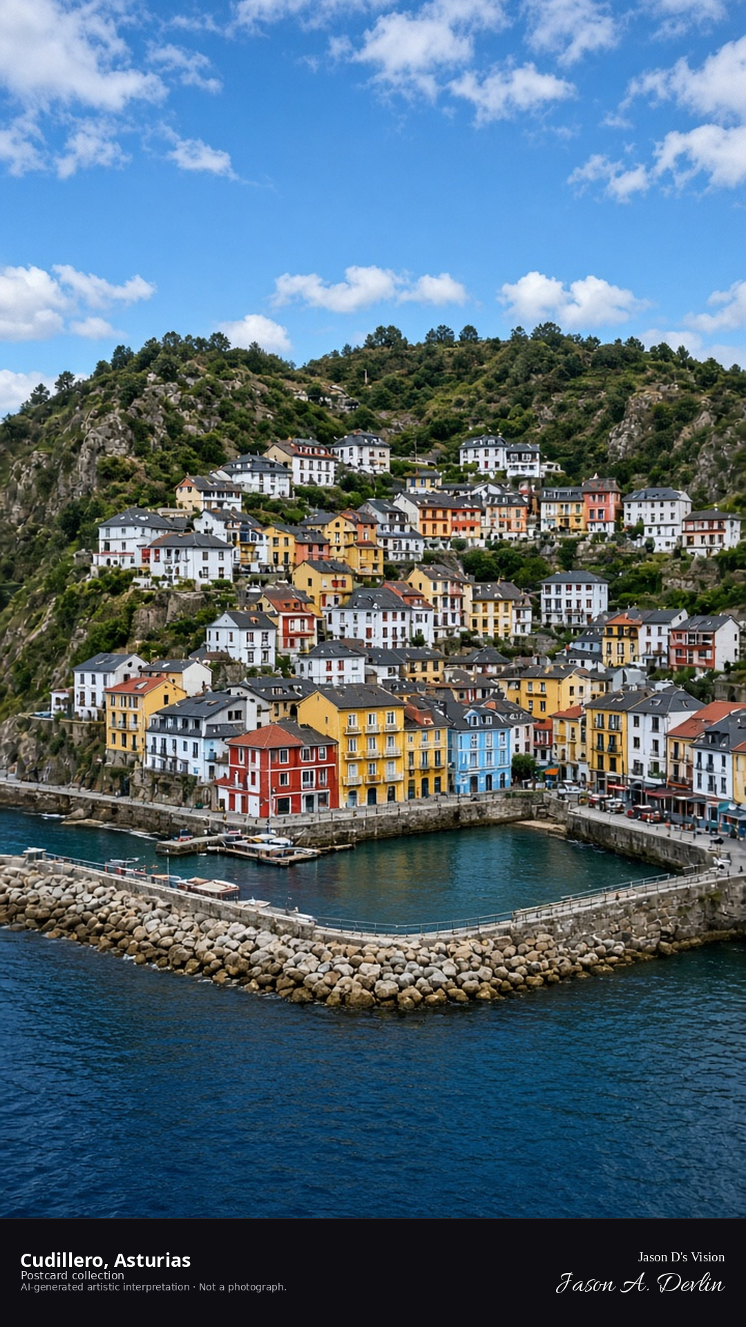
From the harbor, Cudillero's houses rise in their famous amphitheater above the port — the colorful facades stacked up the hillside, windows glowing warm against the night. The little harbor lies dark at the frame's base with boats at rest, while the village climbs in tiers behind it. Asturias' prettiest fishing village, and by night its amphitheater of lights is pure theater.
Postcard collection
Night
Viewpoint, conditions & editions
From the harbor near 43.5640,-6.1450, looking up at the village amphitheater.
Window and harbor lamps are generic; no specific fixtures claimed. House colors are an artistic impression.
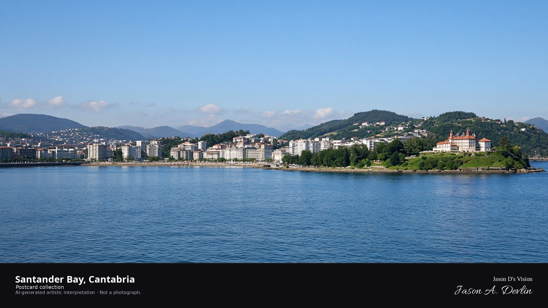
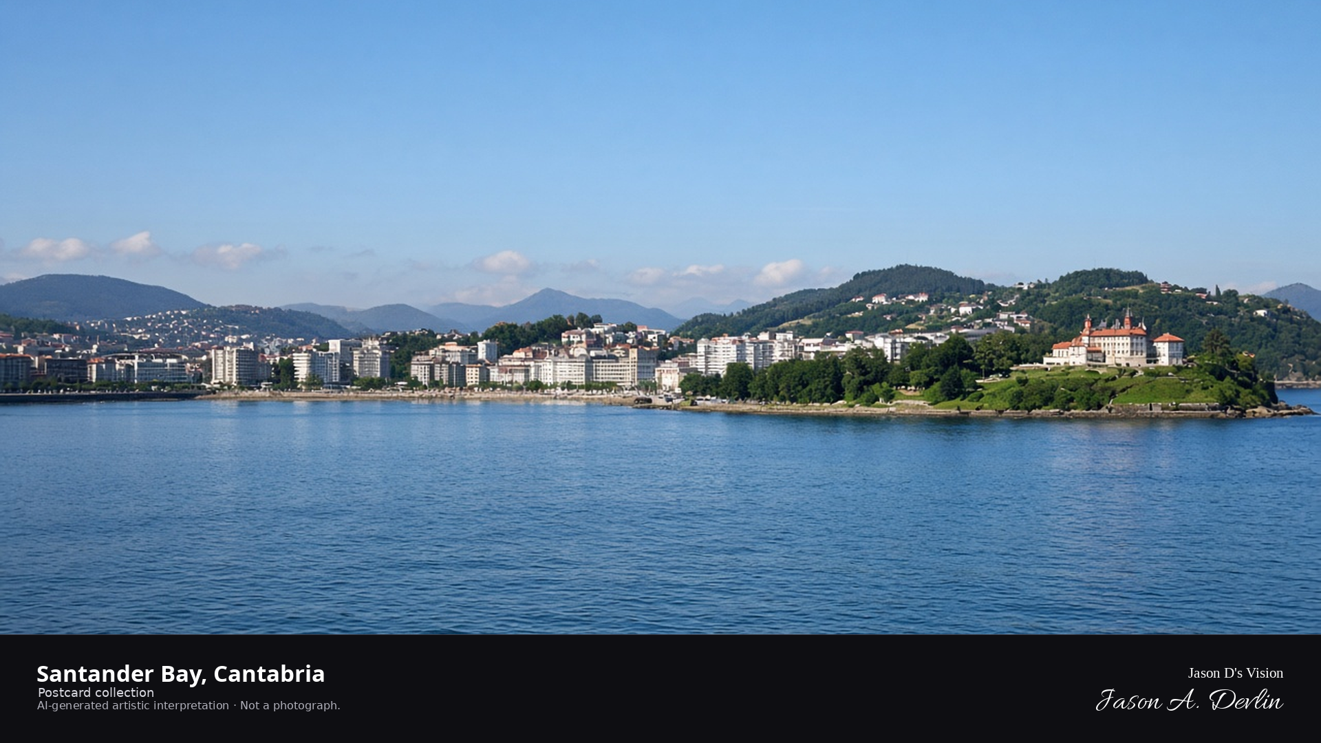
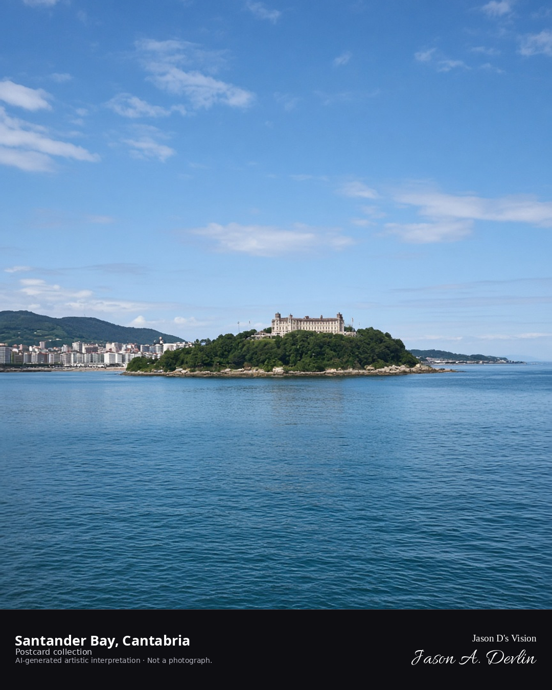
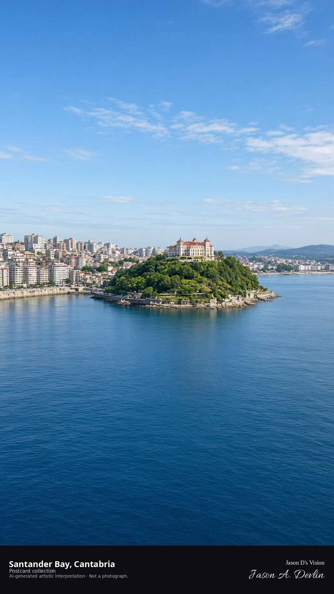
Night · From the Santander bay, city lights reflected in moonlit water near 43.4620,-3.8090. · AI-generated artistic interpretation
From the bay, Santander's city lights reflect in the moonlit water — the waterfront's glow spread along the shore with the dark hills behind and the moon's path glittering across the bay. The city's lamps trace the promenade while boats lie dark at their moorings. The great bay of Santander by night: elegant, calm, and silvered by the Cantabrian moon.
Postcard collection
Night
Viewpoint, conditions & editions
From the bay near 43.4620,-3.8090, looking at the city lights.
City and harbor lamps are generic; no specific fixtures claimed.
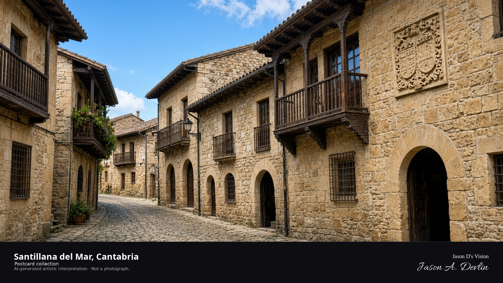
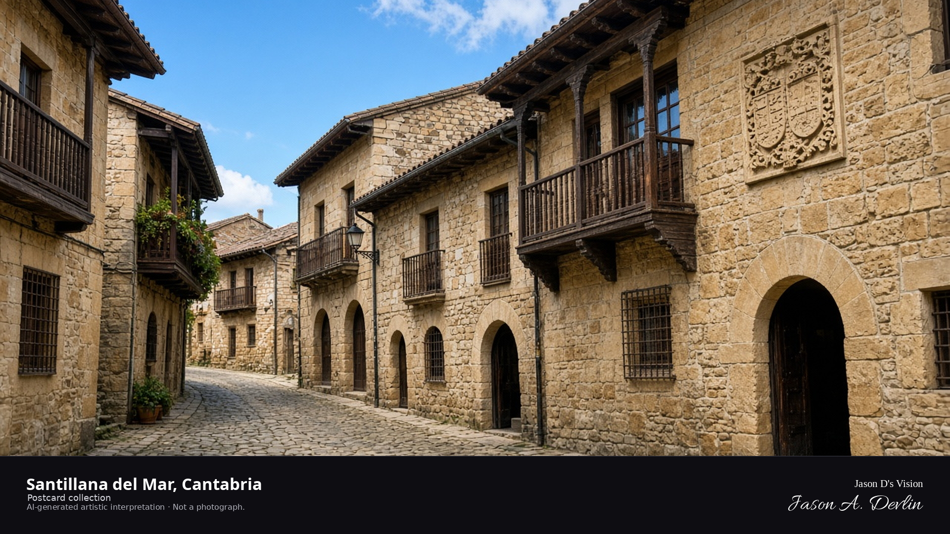
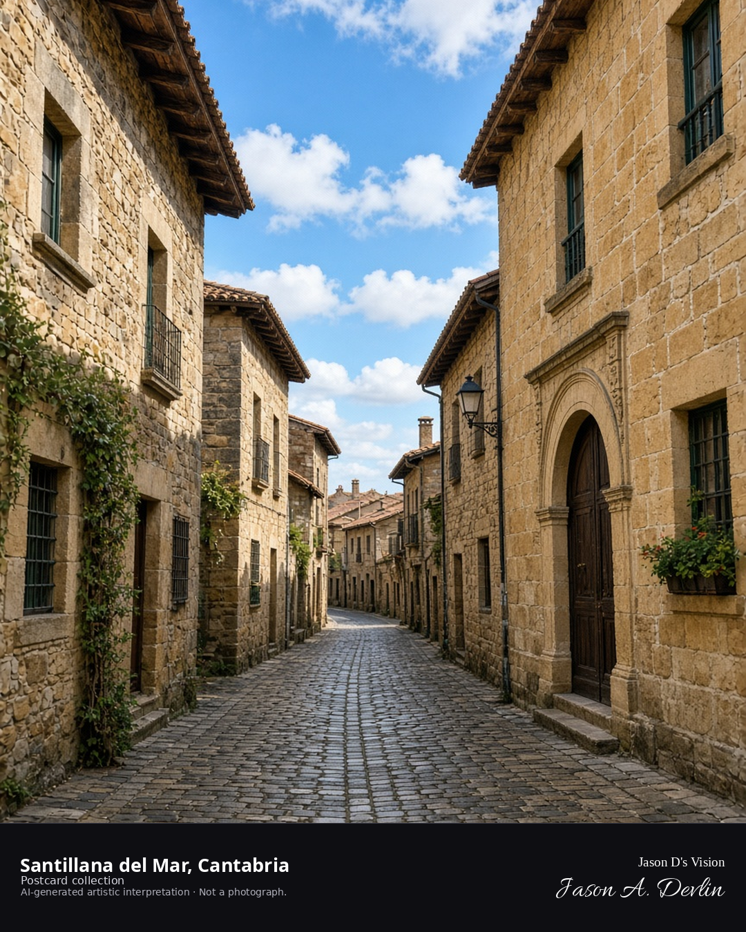
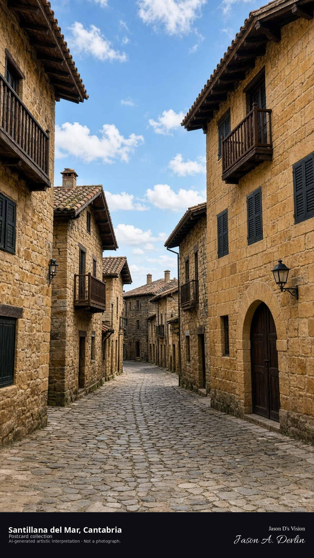
Night · From the Santillana del Mar medieval street under street lamps near 43.3920,-4.1070. · AI-generated artistic interpretation
From the medieval street, Santillana del Mar glows under its street lamps — the old stone houses and their wooden balconies lit warm along the cobbled lane, with the collegiate church's towers rising at the street's end. The lamps catch the honey-colored stone and the carved coats of arms, and the whole village feels suspended in time. They call it the town of three lies; tonight it's simply beautiful.
Postcard collection
Night
Viewpoint, conditions & editions
From the medieval street near 43.3920,-4.1070, looking along the stone street.
Illumination is ordinary street lamps only; floodlighting is neither depicted nor claimed.
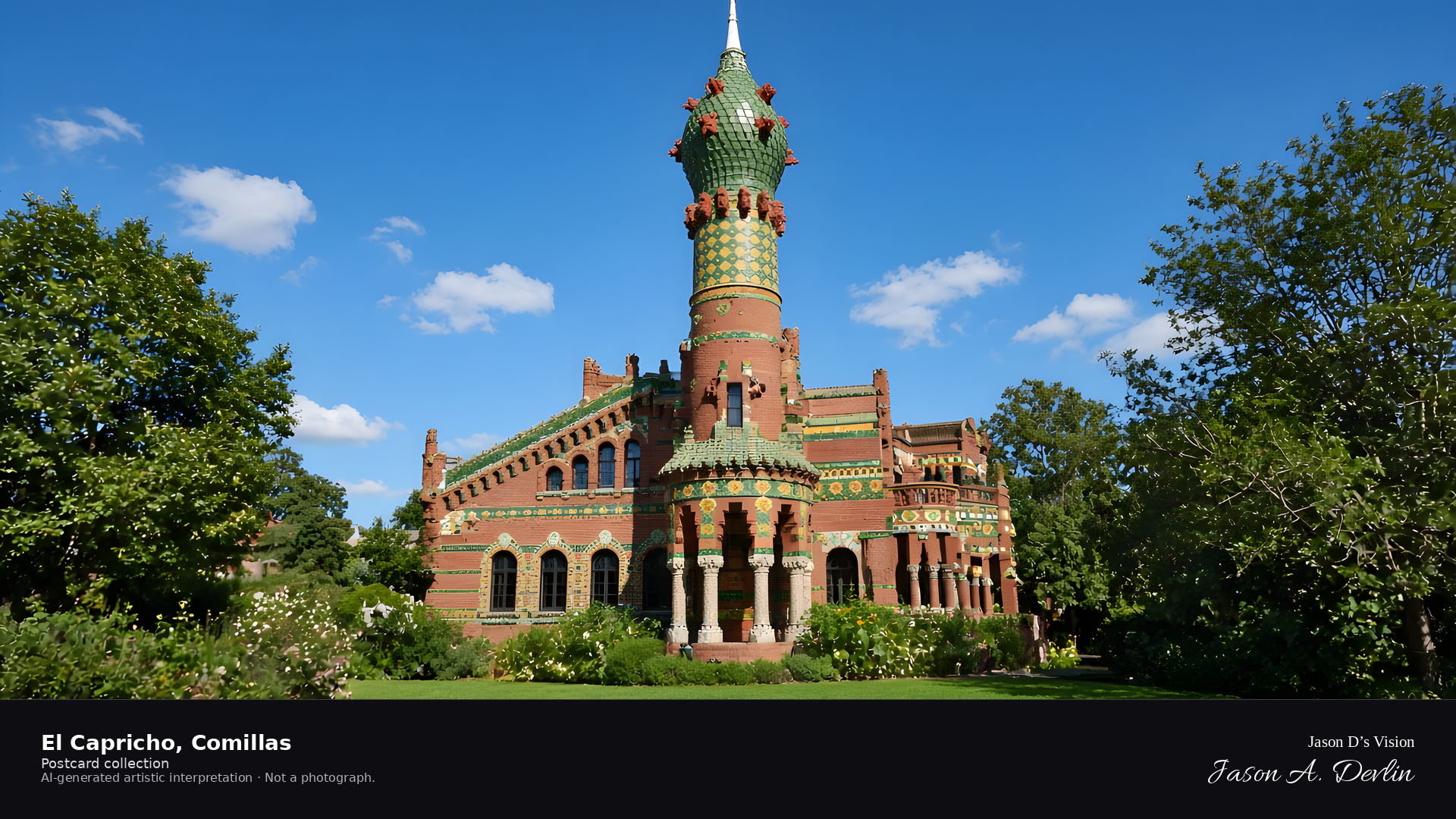
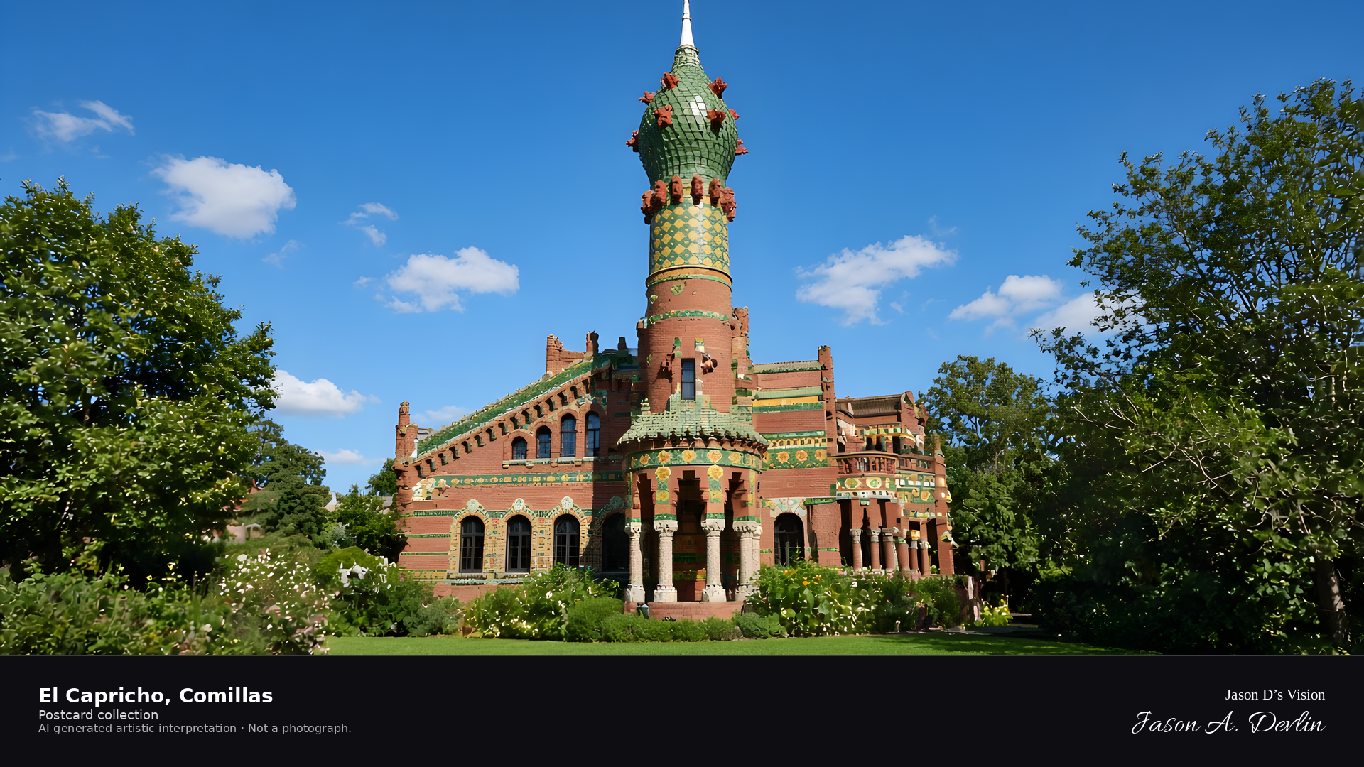
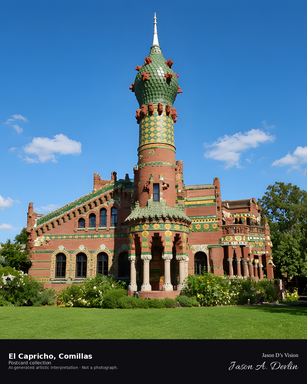
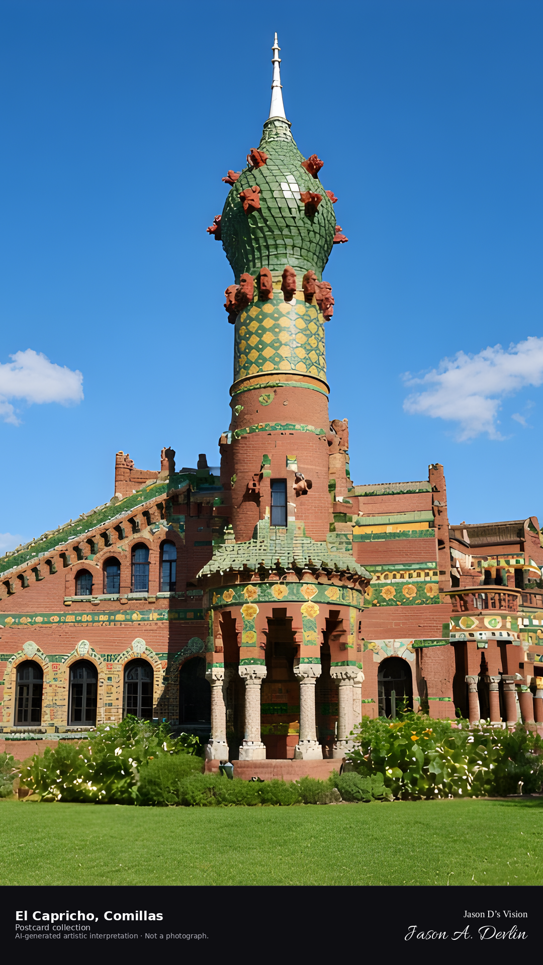
Night · green bulbous cupola, red extrusions, white finial · AI-generated artistic interpretation
From the garden, the Capricho tower ends in a green-tiled bulbous Persian cupola. Red geometric extrusions sit on that cupola, and a white pointed finial finishes it. The crown is not a red finial cluster.
Postcard collection
Night
Viewpoint, conditions & editions
From the garden near 43.3870,-4.2870, looking at El Capricho.
16.5°C, WMO 3 overcast, cloud 100%, precipitation 0.0 mm, wind 8.1 km/h. Sunrise 08:14, sunset 19:58. Night; no direct sunlight.
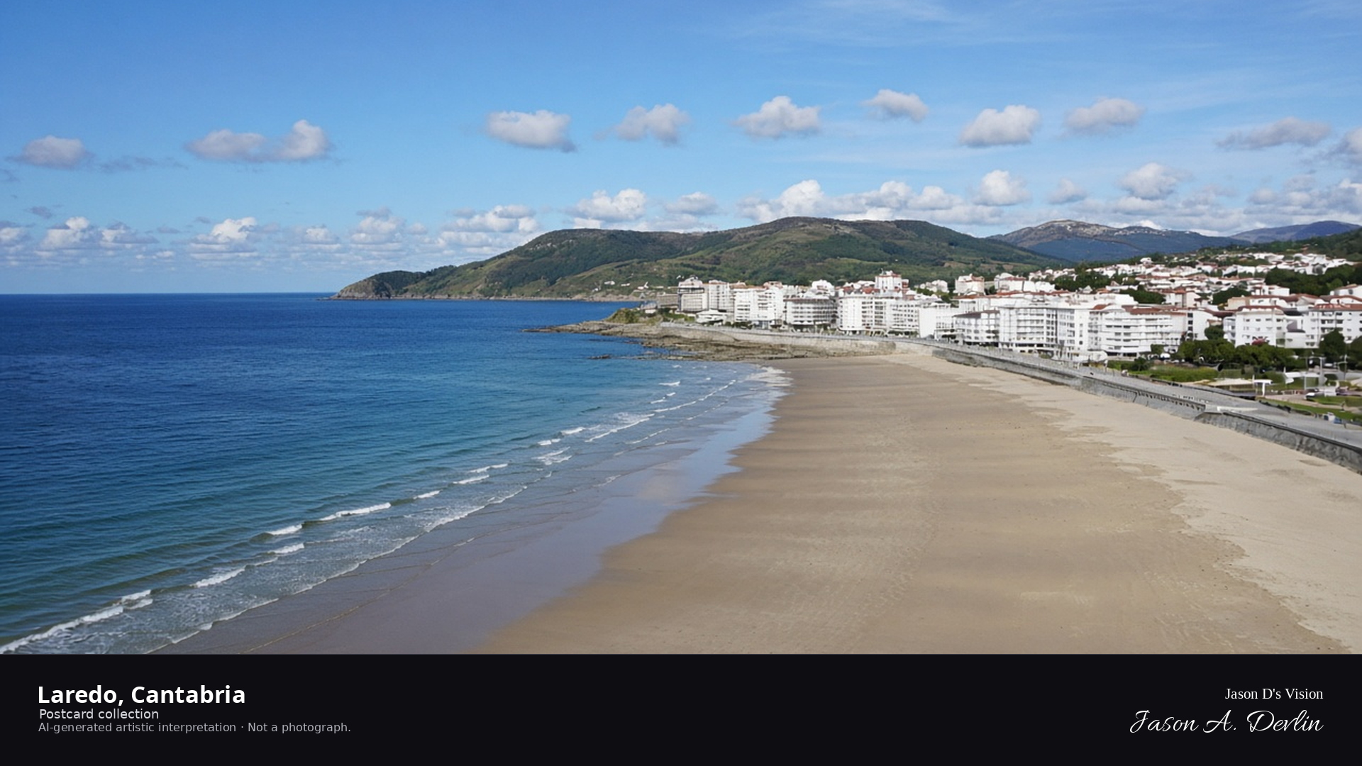
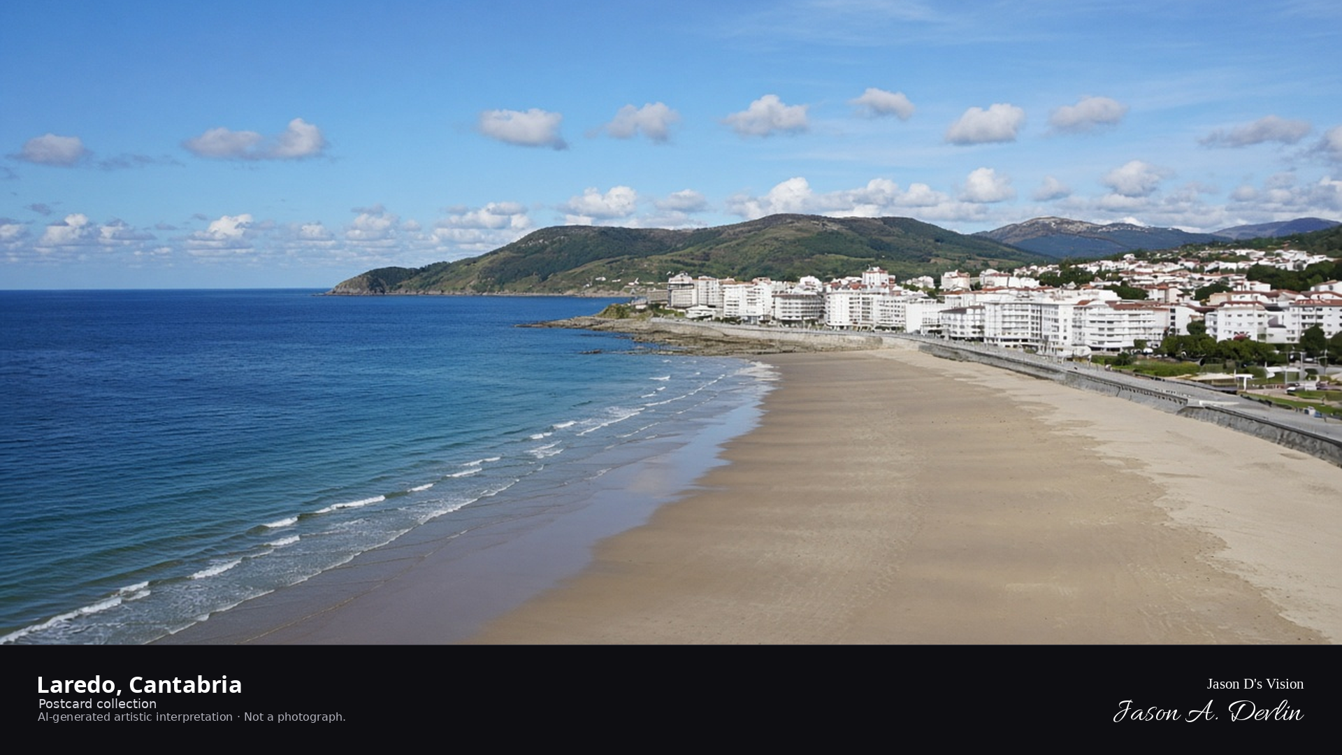
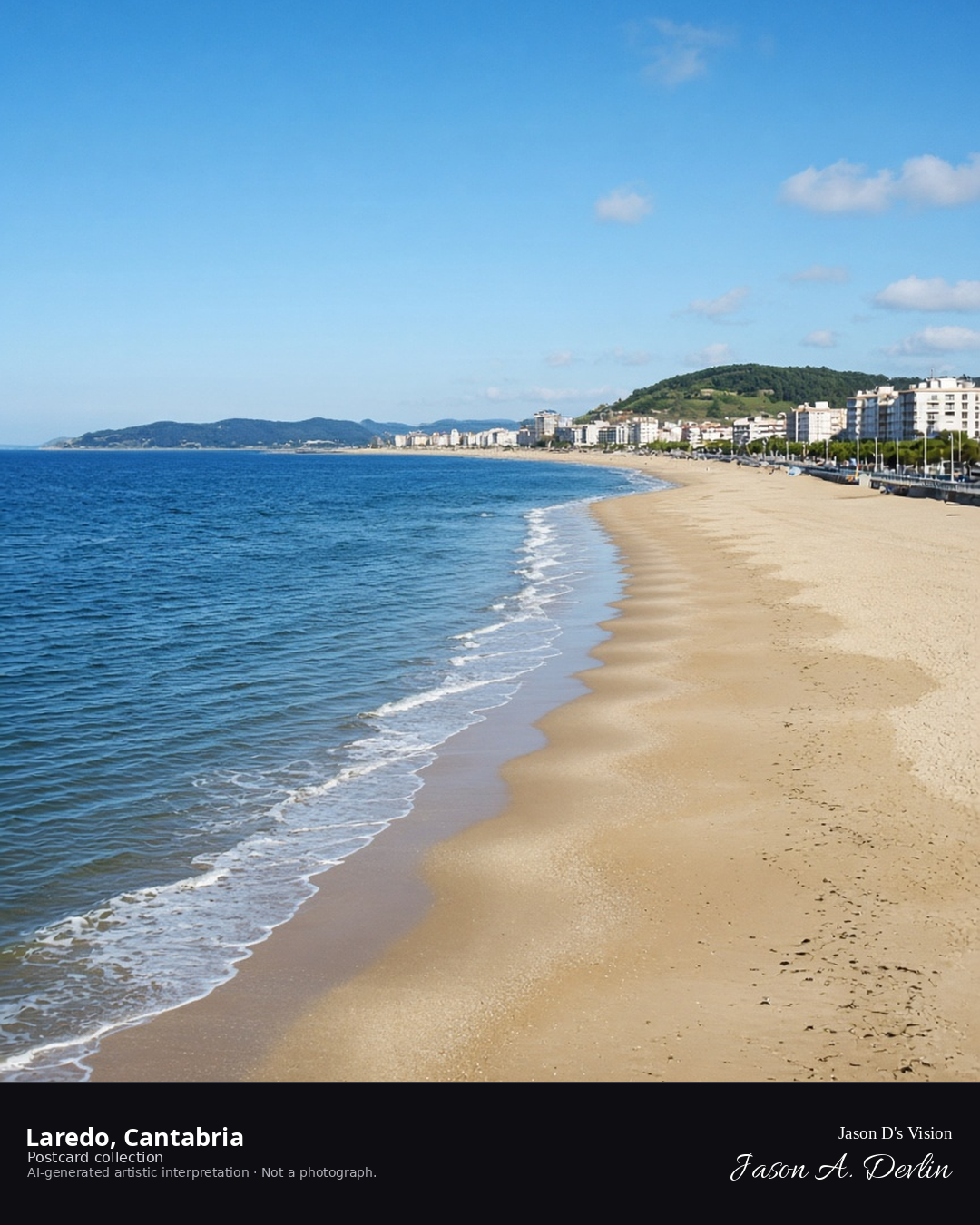
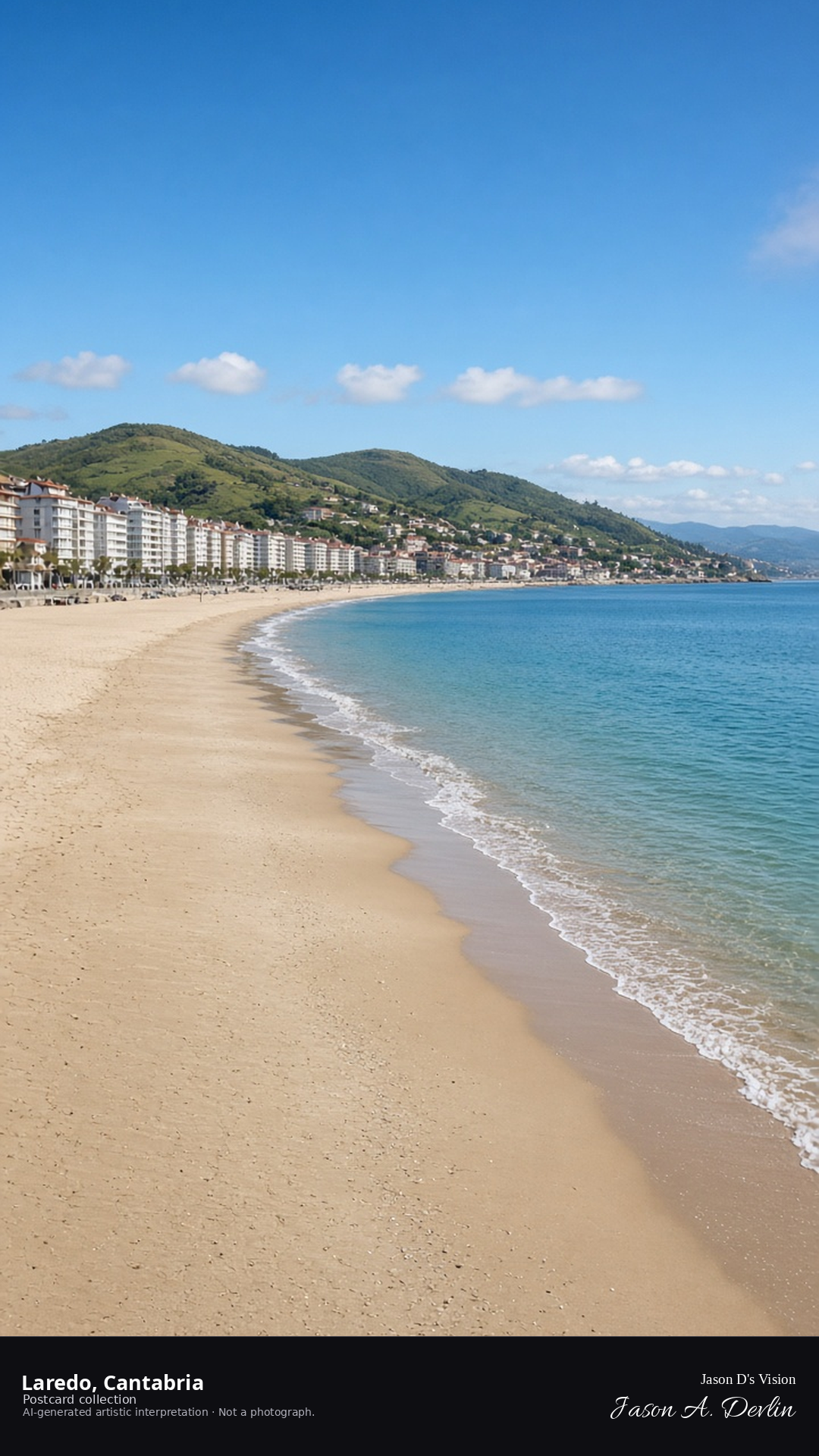
Night · From Laredo, the curving beach under moonlight near 43.4090,-3.4150. · AI-generated artistic interpretation
Stand on the long curve of Laredo's beach after midnight, with the sea stretching wide and dark to either side. Moonlight lays a silver path across the water while the town's lights glow faintly along the shore behind you. The crescent of sand sweeps out of frame, calm and nearly empty in the night stillness.
Postcard collection
Night
Viewpoint, conditions & editions
From the beach near 43.4090,-3.4150, looking along the curving bay.
Town and promenade lamps are generic; no specific fixtures claimed.
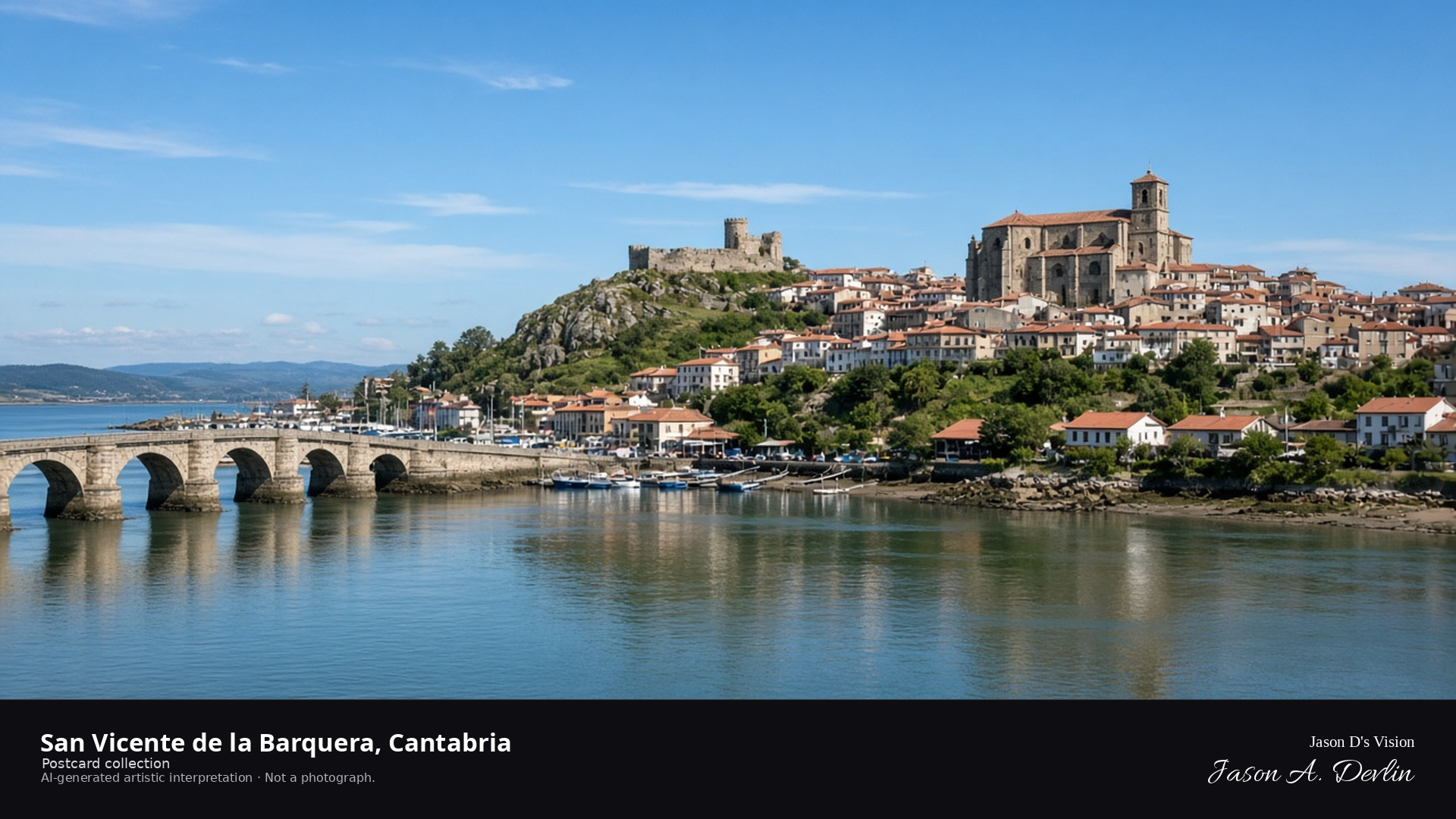
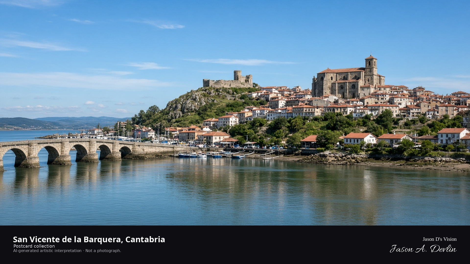
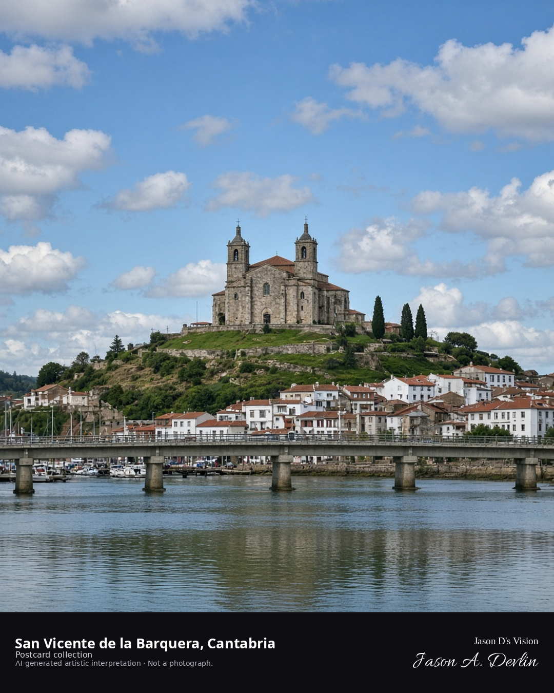
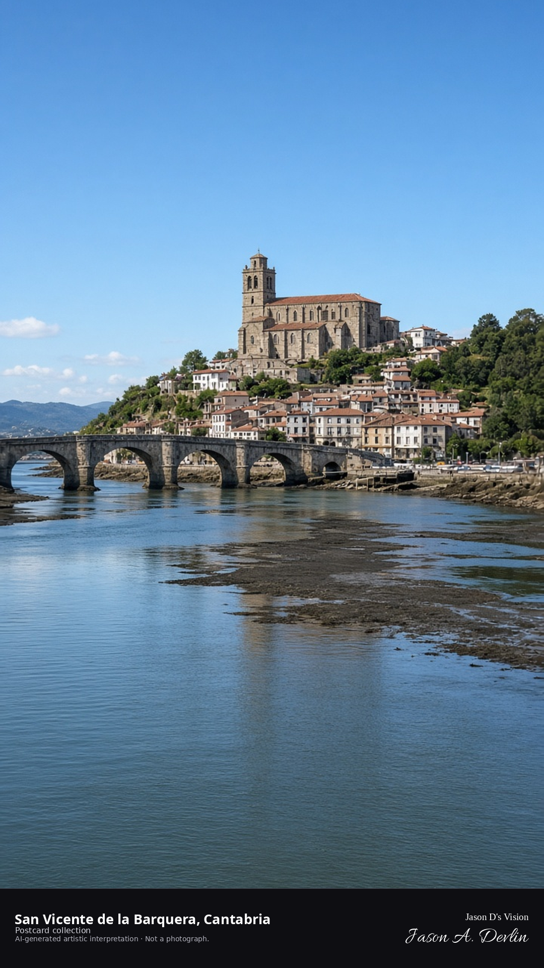
Night · From San Vicente de la Barquera, old town on the hill above the estuary near 43.3840,-4.3980. · AI-generated artistic interpretation
From the shore of the estuary, look up at San Vicente de la Barquera's old town crowning its hill against the night sky. Warm lights cluster along the ridgeline while the dark water below mirrors a few scattered reflections. The old stone town sits high above the calm tidal flats, quiet and watchful at night.
Postcard collection
Night
Viewpoint, conditions & editions
From the estuary near 43.3840,-4.3980, looking at the old town on the hill.
14.2°C, weather code 1 (mainly clear), cloud 24%, precipitation 0 mm, wind 1.1 km/h. Sunrise 08:06, sunset 20:11. Scenario minute 01:49 falls inside the 01:00 model-valid hour.
Church and town lamps are generic; no specific fixtures claimed.
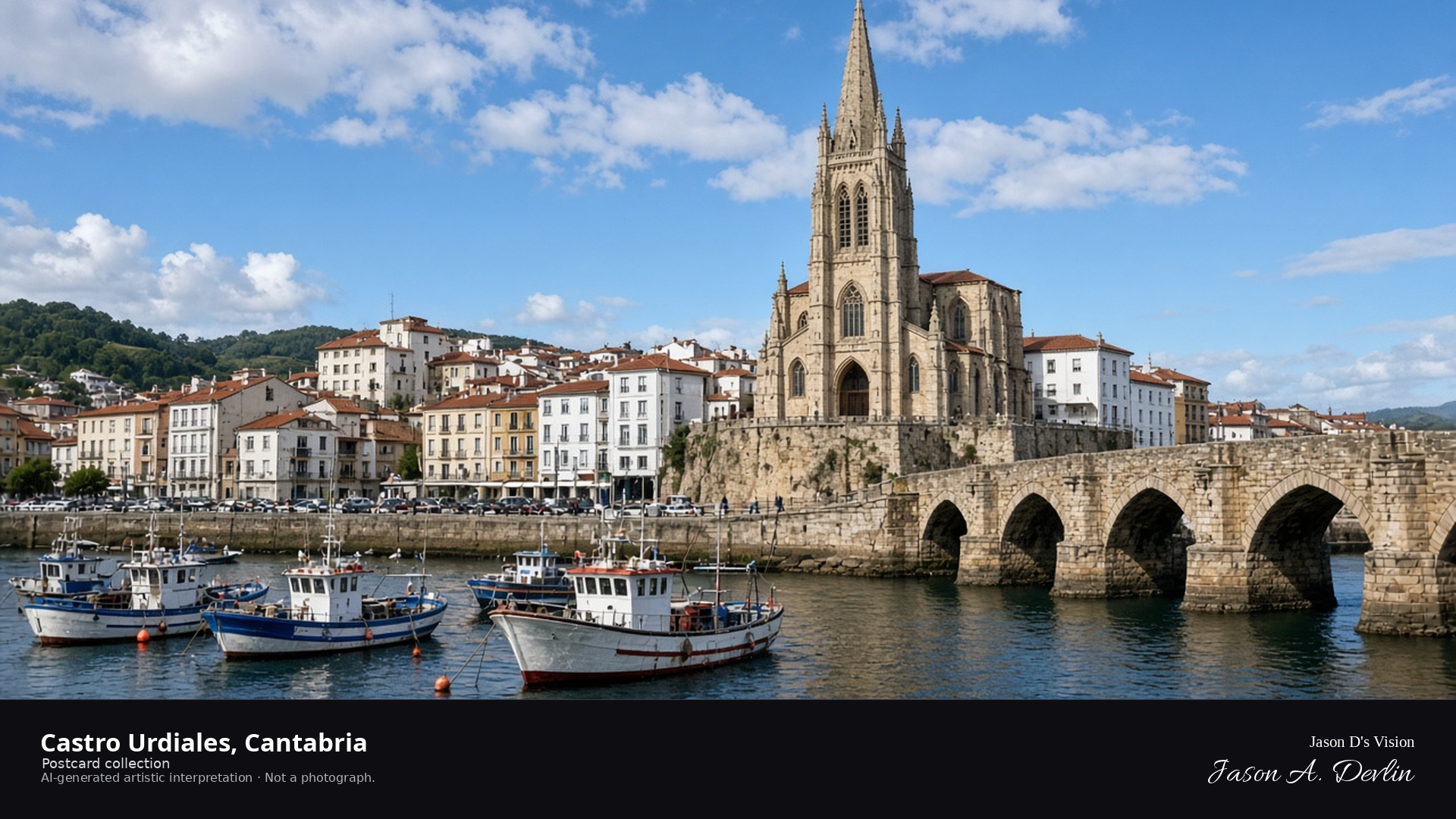
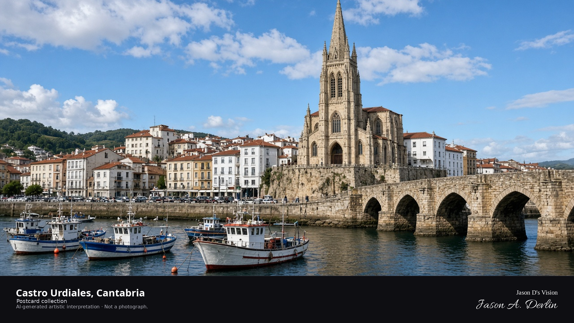
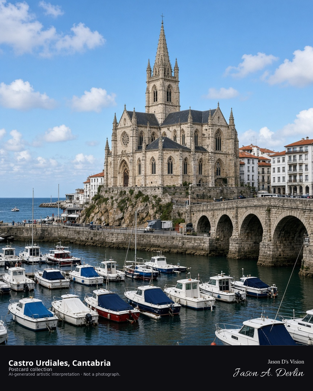
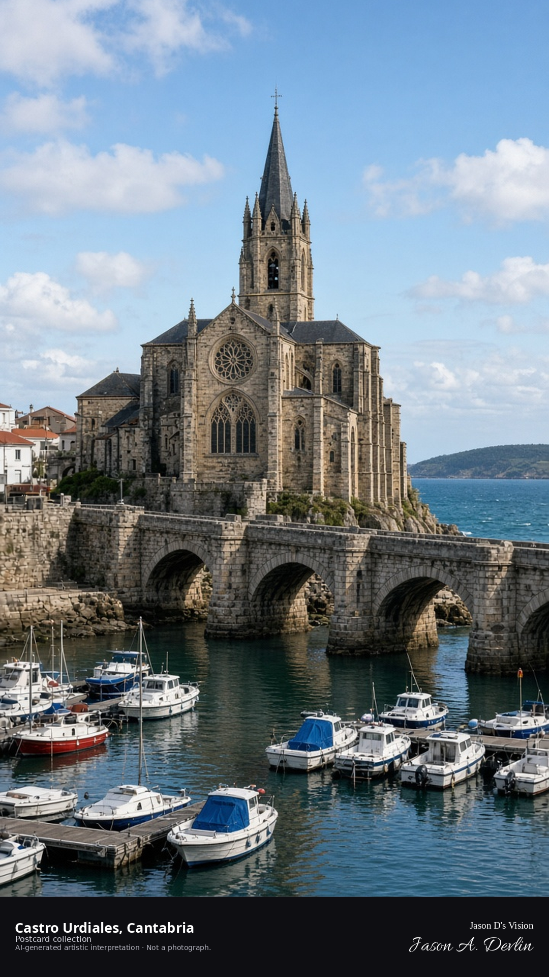
Night · From Castro Urdiales, the Santa María church and medieval bridge near 43.3820,-3.2140. · AI-generated artistic interpretation
Stand by the harbor in Castro Urdiales at night, where the Gothic church of Santa María rises above the old medieval bridge. Floodlights pick out the church's stonework while the arches of the bridge darken against the sea below. The Gothic profile and the old bridge frame one of Cantabria's most storied waterfront views.
Postcard collection
Night
Viewpoint, conditions & editions
From the harbor near 43.3820,-3.2140, looking at the church and medieval bridge.
17.2°C, weather code 1 (mainly clear), cloud 39%, precipitation 0 mm, wind 3.9 km/h. Sunrise 08:02, sunset 20:06. Scenario minute 01:49 falls inside the 01:00 model-valid hour.
Illumination is harbor lamps and moonlight only; floodlighting is neither depicted nor claimed.
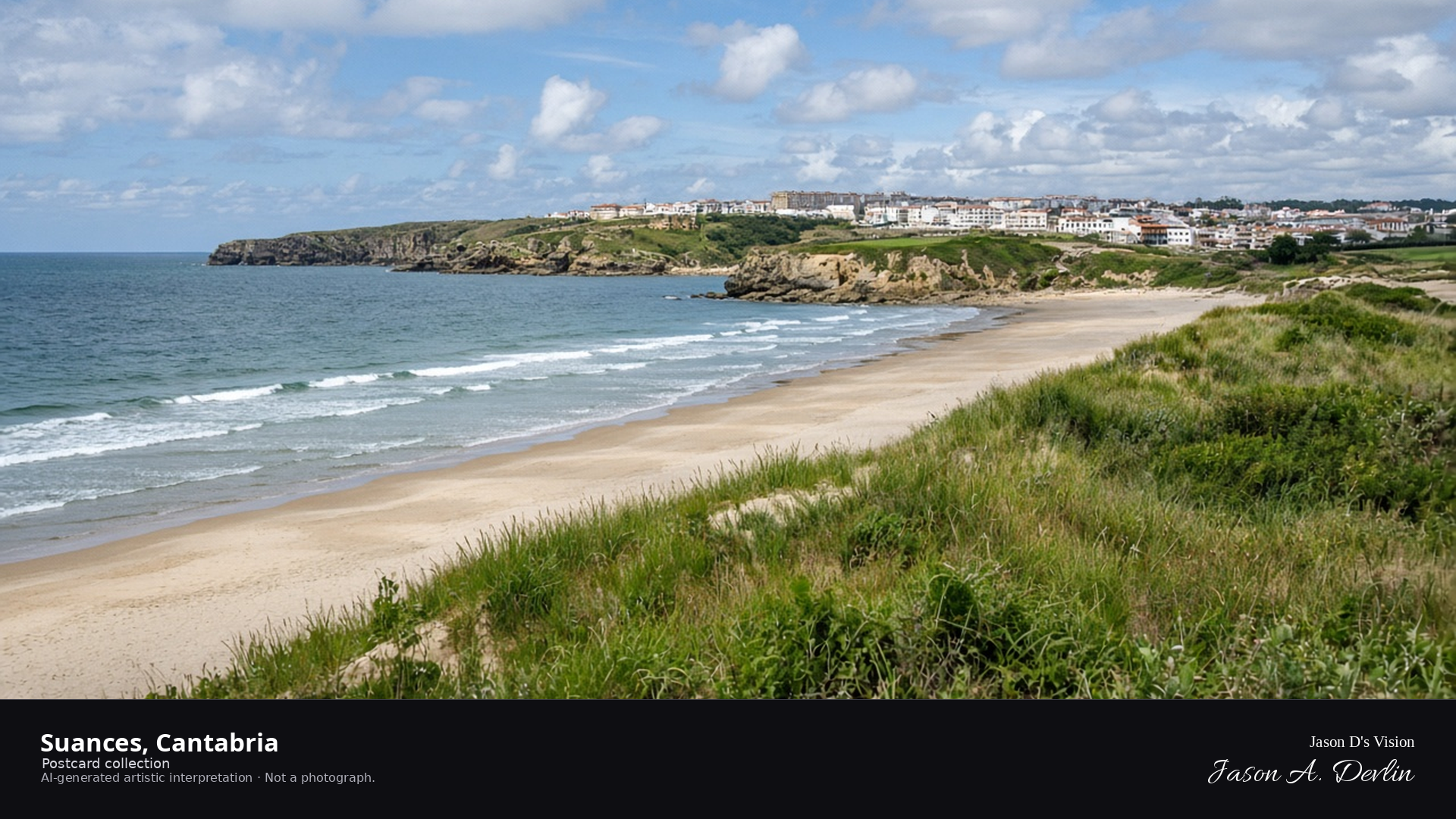
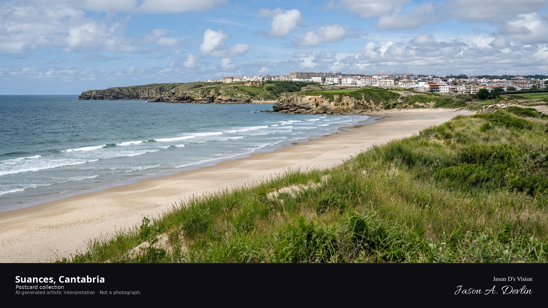
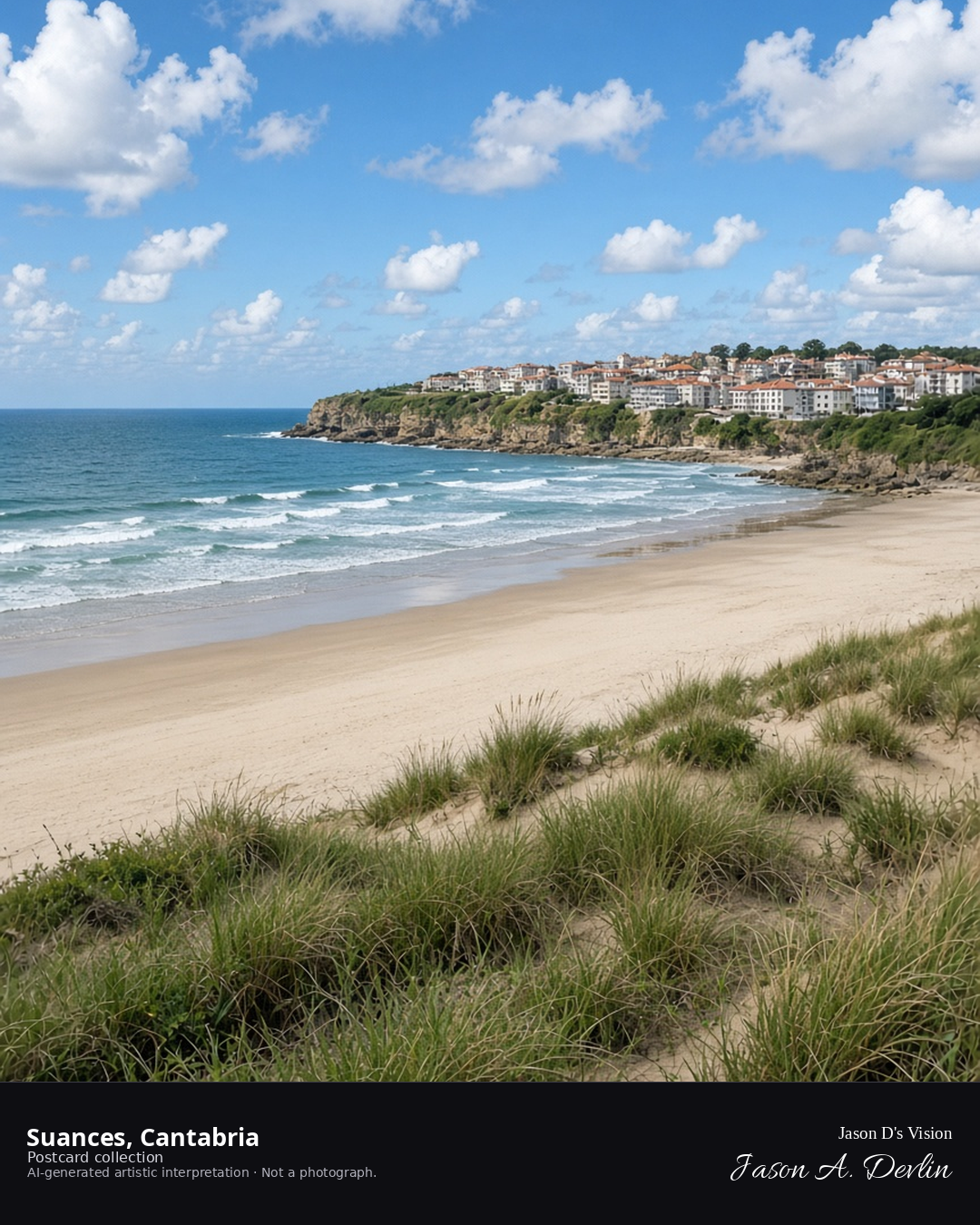
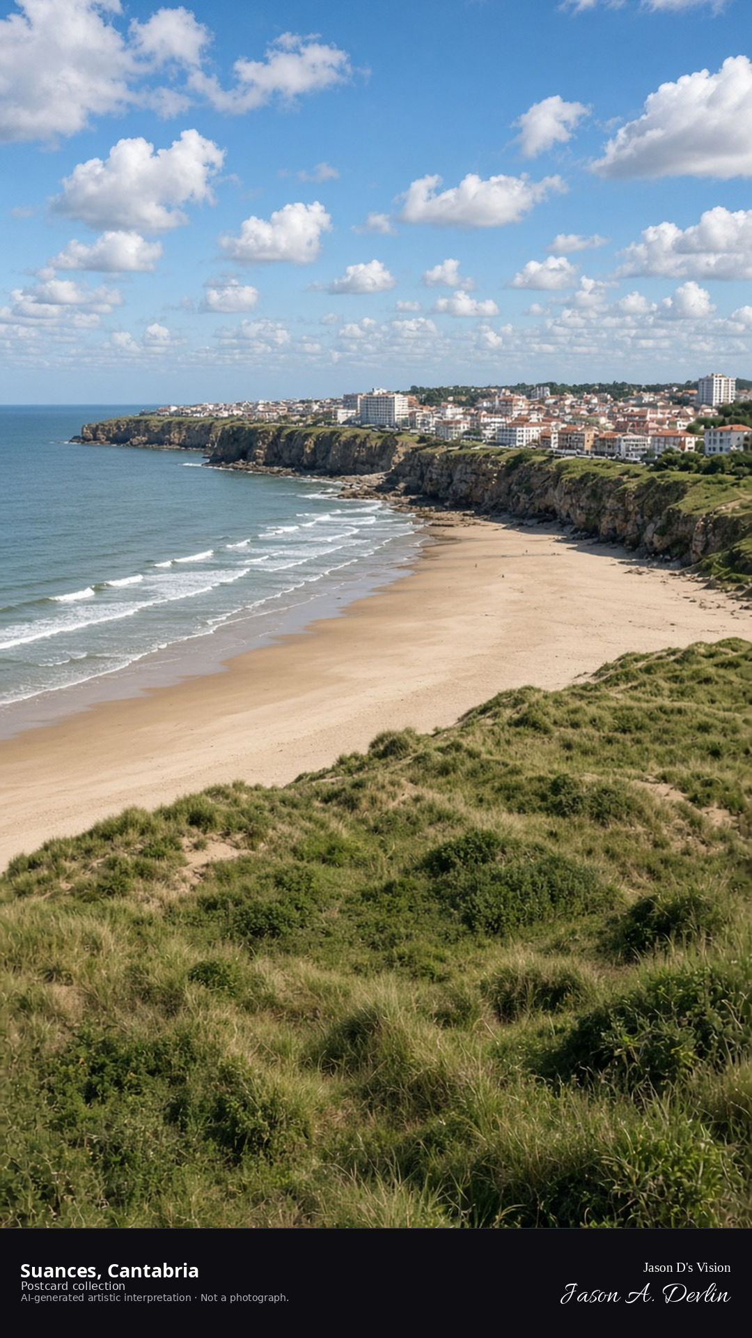
Night · From Suances, the moonlit beach and distant town lights near 43.4280,-4.0400. · AI-generated artistic interpretation
From the beach at Suances on a late September night, the moonlit sand runs pale between the dark sea and the headland. Distant town lights scatter across the hillside above while moonlight silvers the surf. The waves break softly along the empty shore, the night sky wide and clear overhead.
Postcard collection
Night
Viewpoint, conditions & editions
From the dunes near 43.4280,-4.0400, looking along the beach.
15.9°C, weather code 3 (overcast), cloud 87%, precipitation 0 mm, wind 7.6 km/h. Sunrise 08:05, sunset 20:10. Scenario minute 01:49 falls inside the 01:00 model-valid hour.
Town lamps are generic; no specific fixtures claimed.
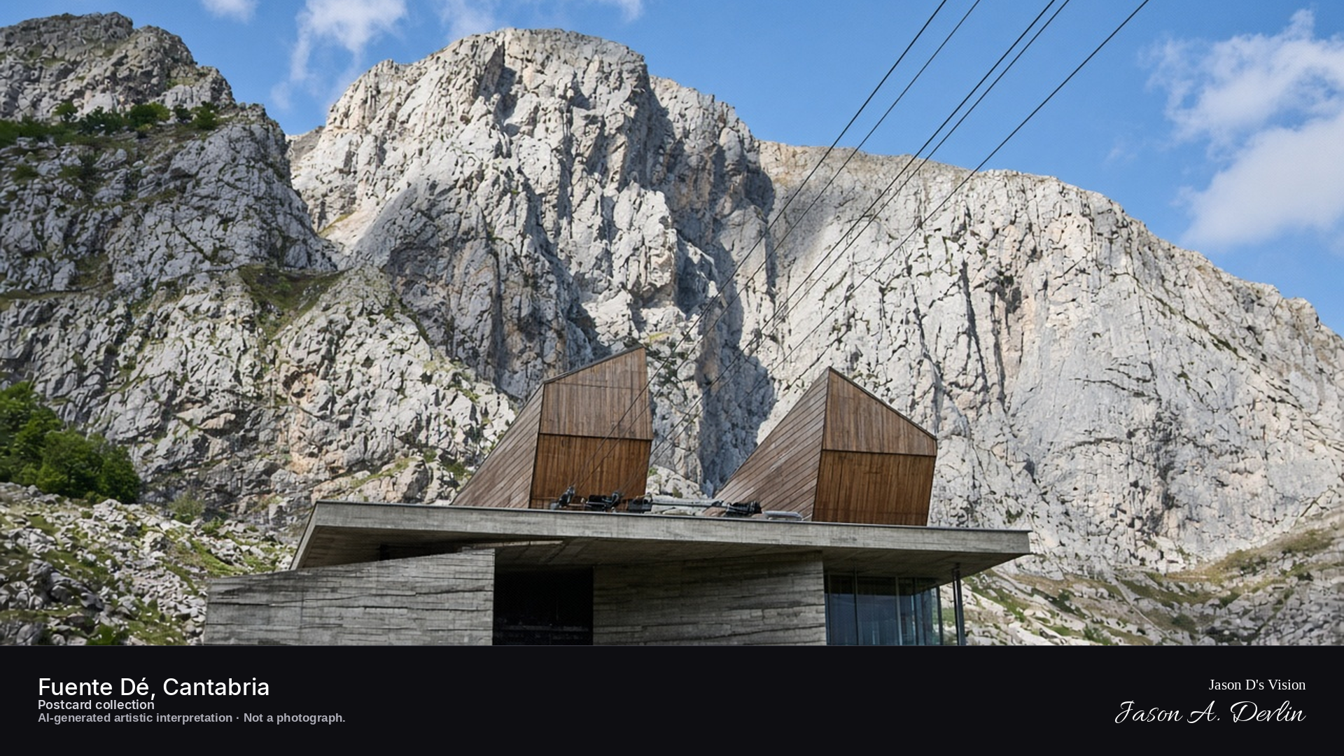
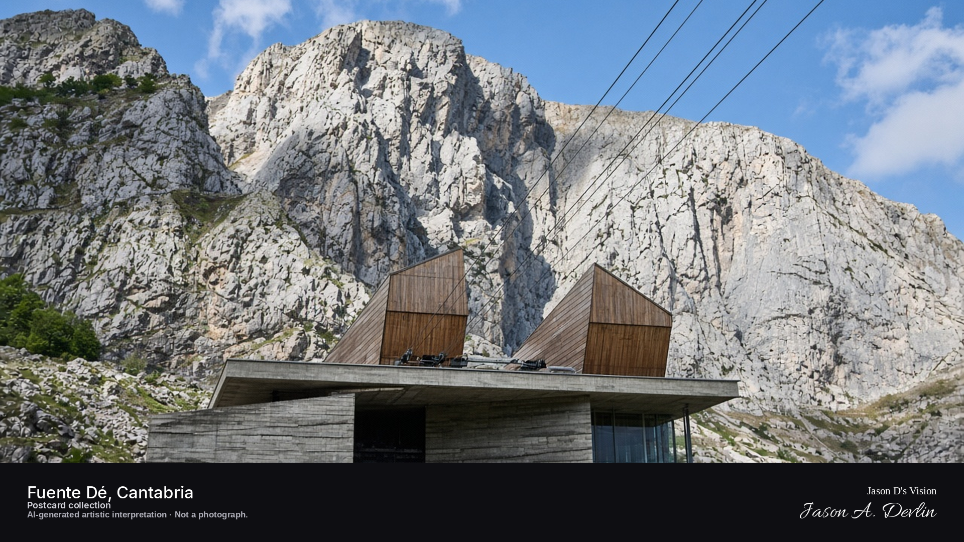
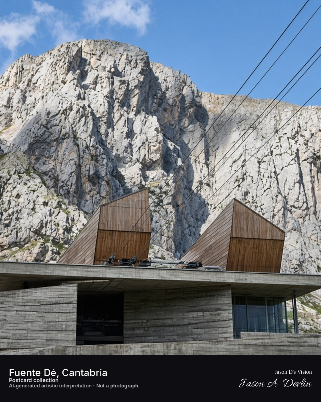
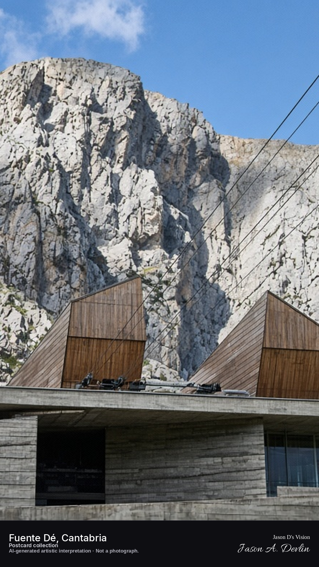
Night · béton brut lower station under the Picos wall · AI-generated artistic interpretation
From the valley, the lower station is exposed concrete: parallel board-formed walls, a thin slab roof, and two wood-clad prow volumes. Cables rise toward the Picos wall. It is not a stone mountain lodge.
Postcard collection
Night
Viewpoint, conditions & editions
From the valley near 43.1450,-4.8140, looking at the cable car station and the Picos wall.
10.1°C, WMO 3 overcast, cloud 100%, precipitation 0.0 mm, wind 4.6 km/h. Sunrise 08:16, sunset 20:00. Night; no direct sunlight.
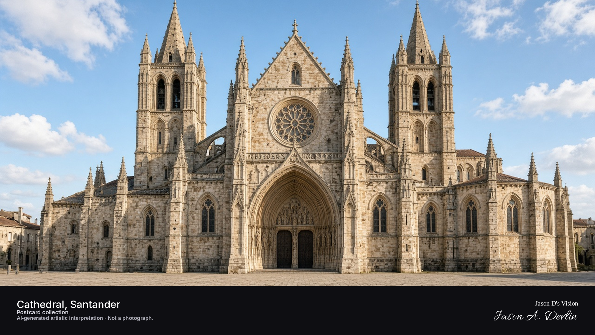
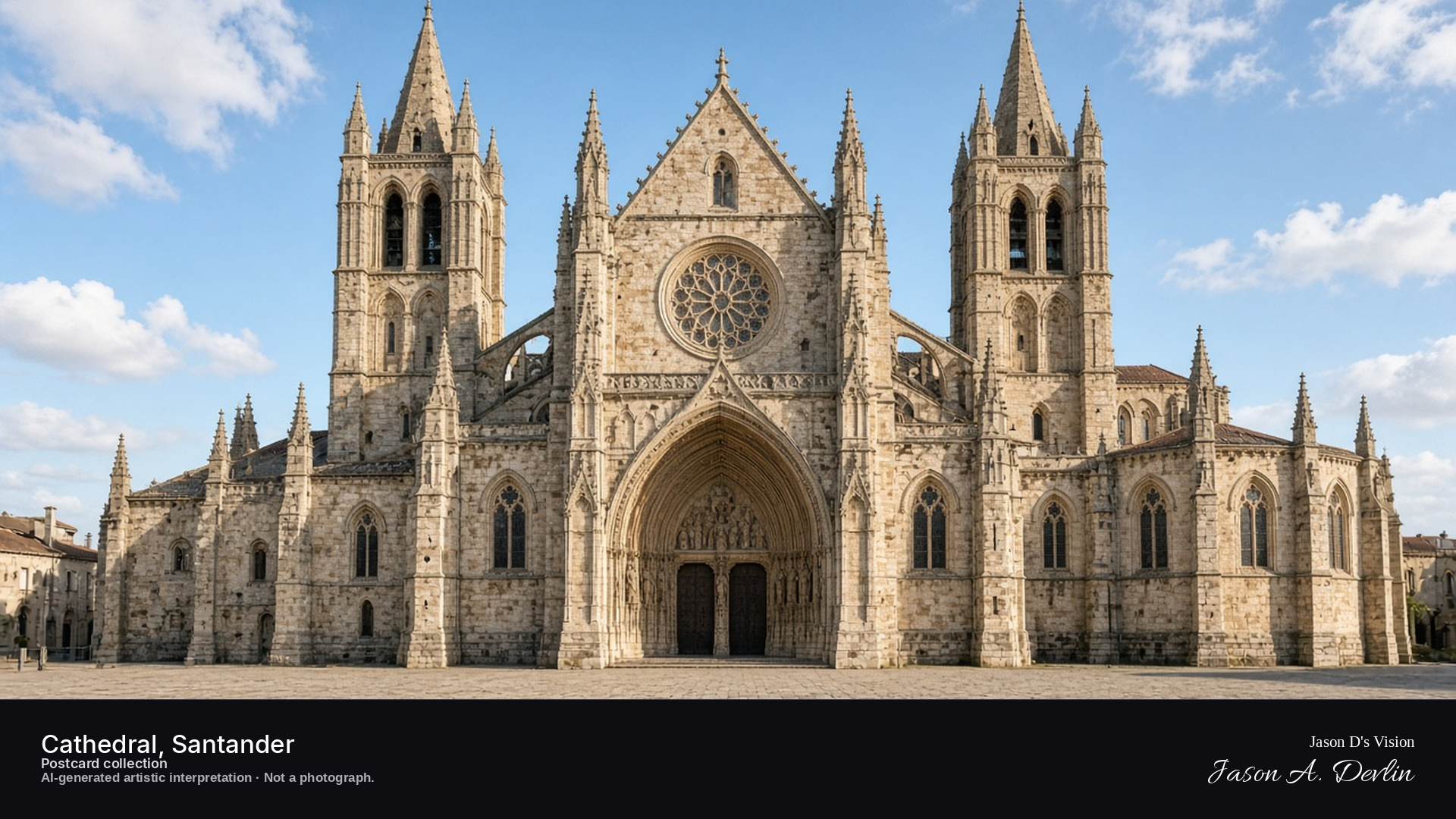
Night · From the Santander Cathedral, Gothic, from the square near 43.4630,-3.8060. · AI-generated artistic interpretation
From the square below, Santander's Gothic cathedral stands floodlit against the night, its stonework warm under the lights. The square around it is empty and quiet, lamplight pooling on the paving. The cathedral's towers and pointed arches rise into the dark sky, the heart of the old town at rest.
Postcard collection
Night
Viewpoint, conditions & editions
From the square near 43.4630,-3.8060, looking at the Santander Cathedral.
18.7°C, weather code 3 (overcast), cloud 92%, precipitation 0 mm, wind 5.4 km/h. Sunrise 08:04, sunset 20:09. Scenario minute 01:49 falls inside the 01:00 model-valid hour.
Illumination is plaza lamps and moonlight only; floodlighting is neither depicted nor claimed.
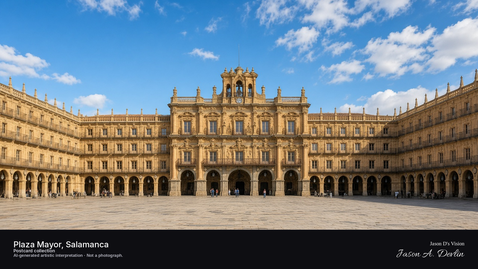
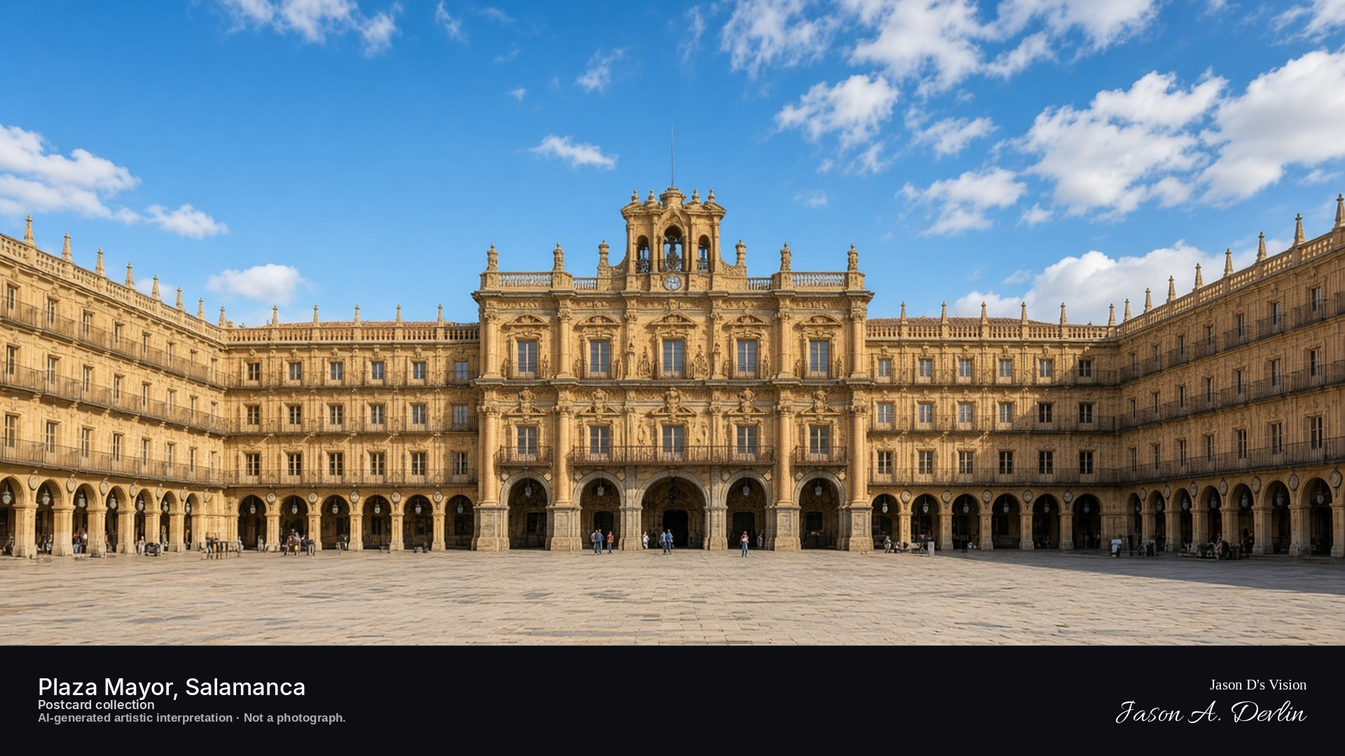
Night · Centre-square view toward the Ayuntamiento pavilion under lantern light · AI-generated artistic interpretation
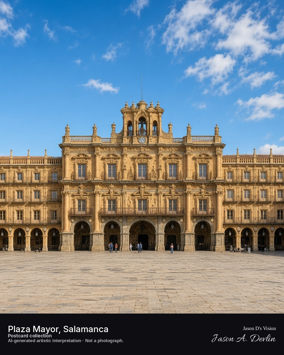
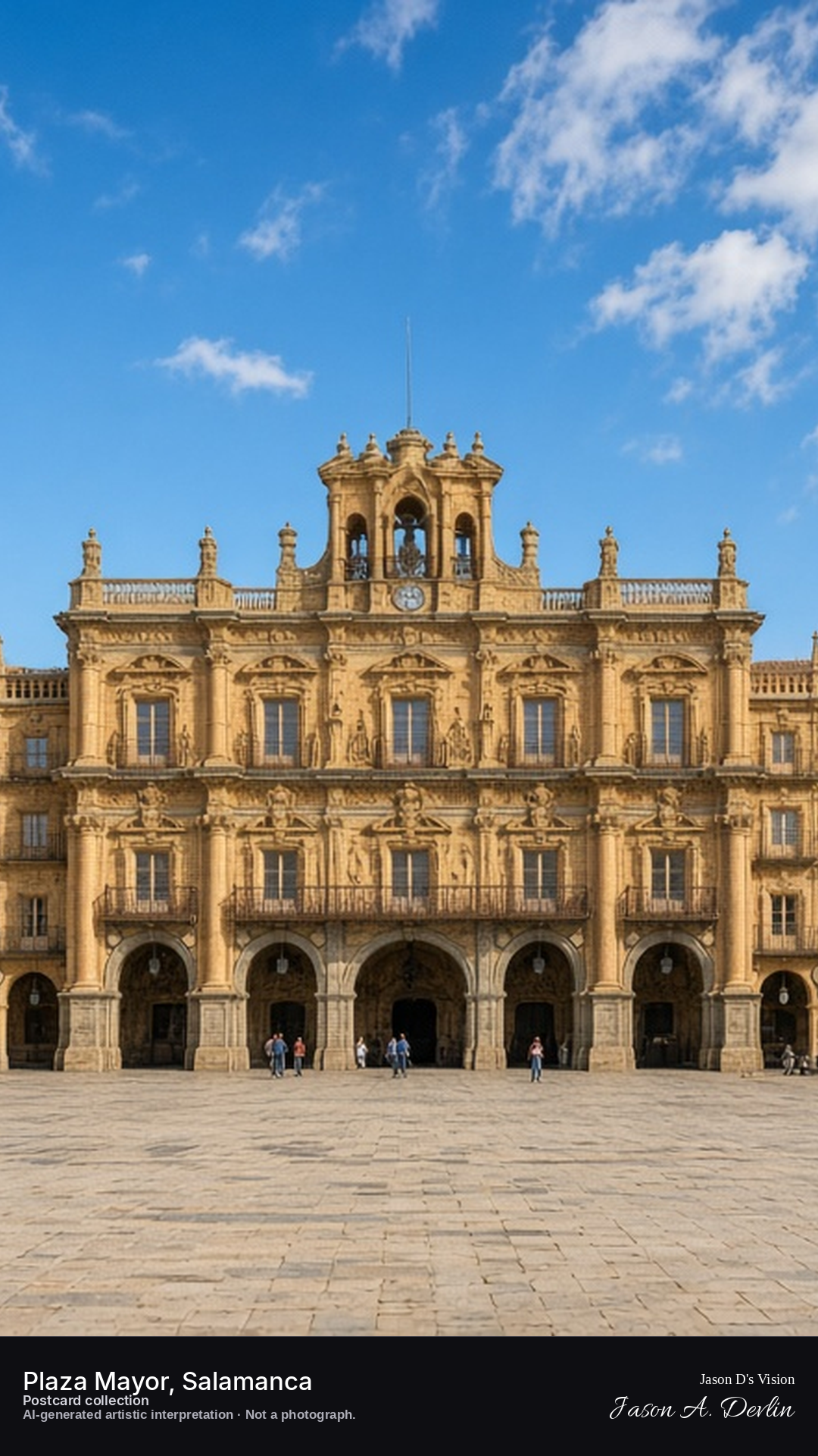
Standing in the center of the square, the eye is drawn to the Ayuntamiento pavilion glowing under lantern light, its arcaded facade and clock tower rising over the uniform colonnade that rings the plaza. Lamplight washes the sandstone a deep gold, and the arcades stretch left and right in a perfect baroque rectangle. Plaza Mayor is called Spain's most beautiful square — at night, under the lanterns, it's easy to see why.
Postcard collection
Night
Viewpoint, conditions & editions
Centre of the square, facing the Ayuntamiento pavilion on the east side (approx 40.9652N, 5.6641W)
18°C, weather code 3 (overcast), cloud 83%, precipitation 0 mm, wind 3.1 km/h. Sunrise 08:12, sunset 20:16. Scenario minute 01:16 falls inside the 01:00 model-valid hour.
Night illumination is supported by repeated published reports of the square lit after sunset, but is not verified for this specific hour. Exact lantern count, terrace arrangement and crowd level are interpretive. Camera point is a conventional tourist position in the square centre, not map-verified.
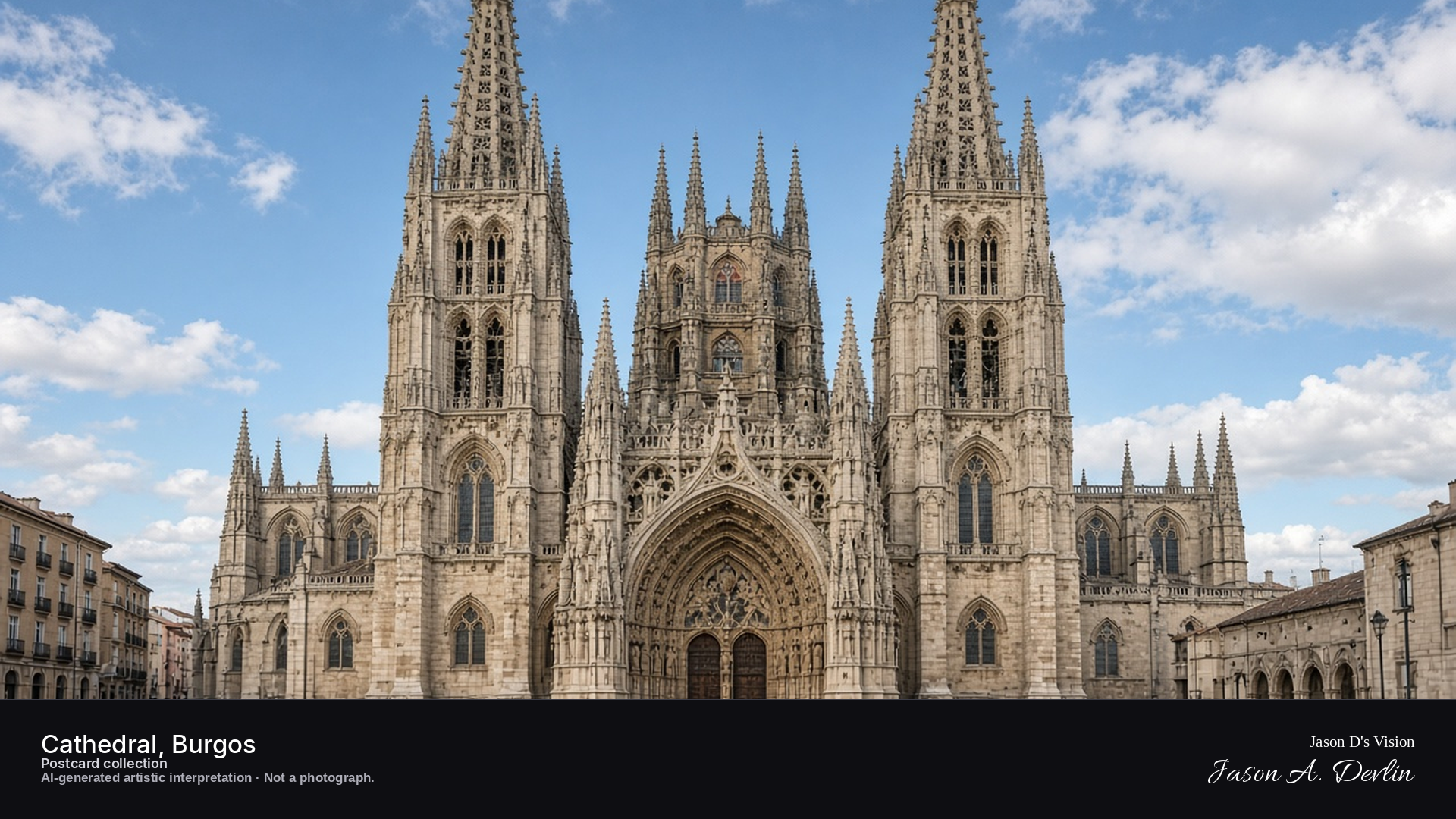
Night · West front from Plaza de Santa Maria, twin spires and floodlit limestone · AI-generated artistic interpretation
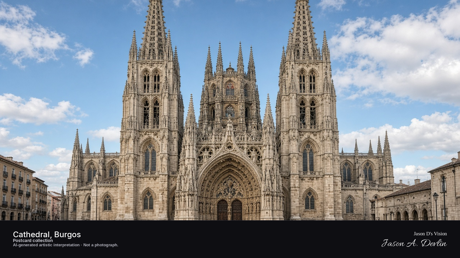
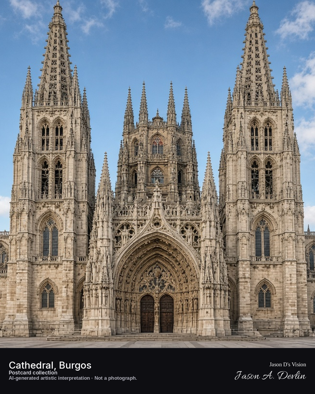
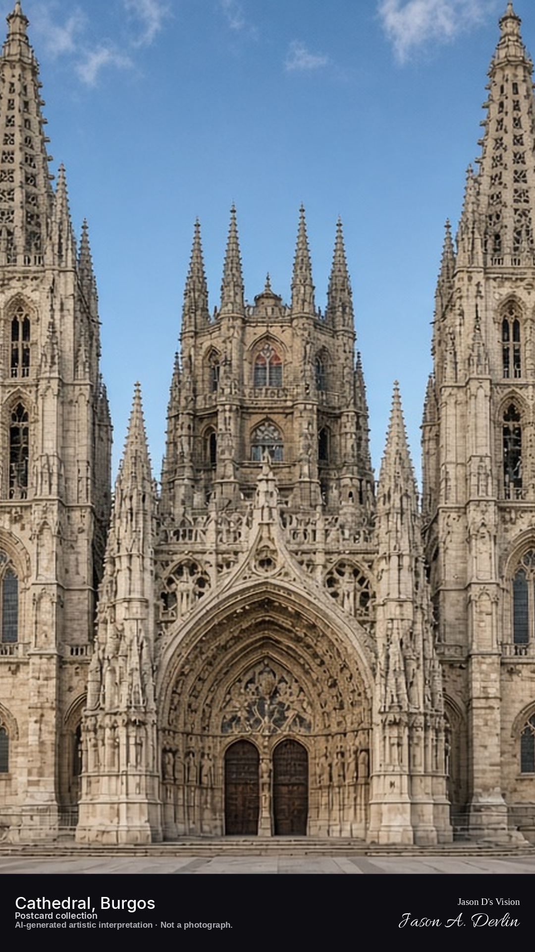
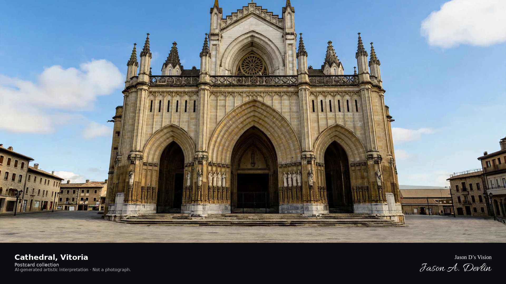
From the Plaza de Santa María, the cathedral's west front fills the frame — twin openwork spires rising into the dark sky, floodlit limestone glowing against the night. The great west portal sits at the center with its pointed arches and carved detail, flanked by the intricate spires that are Burgos' signature. This is one of the masterpieces of Spanish Gothic, and the floodlights do it full justice.
Postcard collection
Night
Viewpoint, conditions & editions
Plaza de Santa Maria, facing the west front (approx 42.3407N, 3.7004W)
18.1°C, weather code 3 (overcast), cloud 100%, precipitation 0 mm, wind 8.7 km/h. Sunrise 08:04, sunset 20:08. Scenario minute 01:24 falls inside the 01:00 model-valid hour.
Night floodlighting is supported by repeated published night photographs of the cathedral, but is not verified for this specific hour. Spire ornament detail and plaza furniture are interpretive. Camera point is a conventional tourist position in Plaza de Santa Maria, not map-verified.
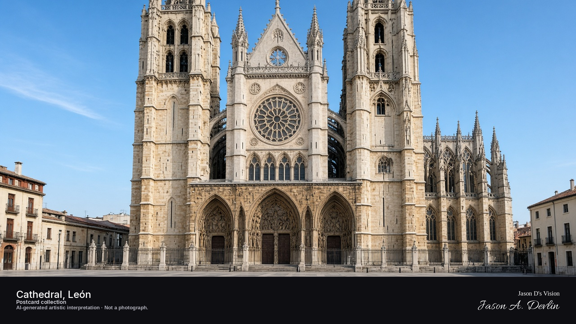
Night · West facade from the cathedral square, twin towers and rose window · AI-generated artistic interpretation
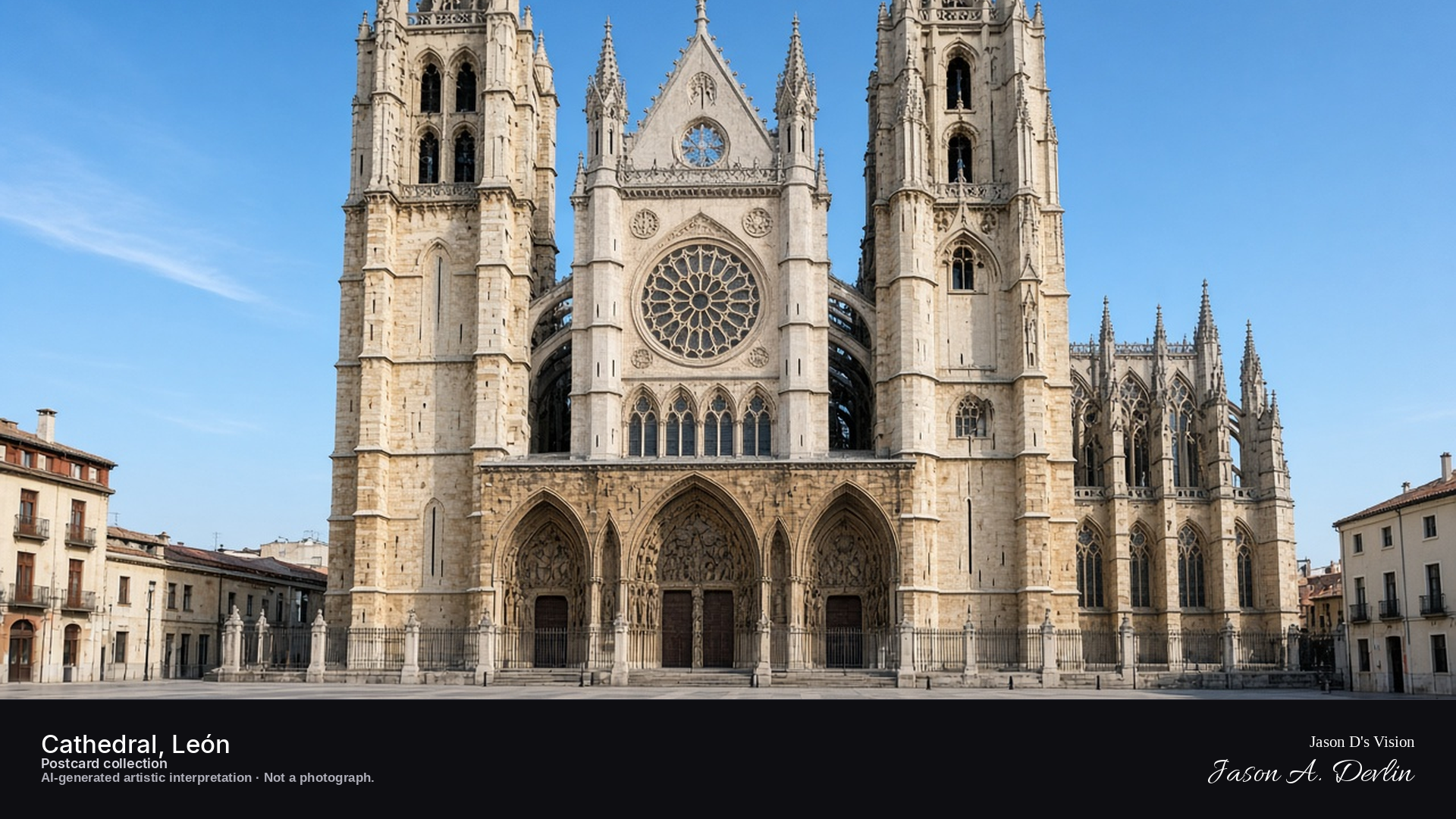
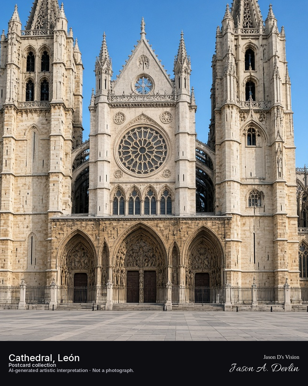
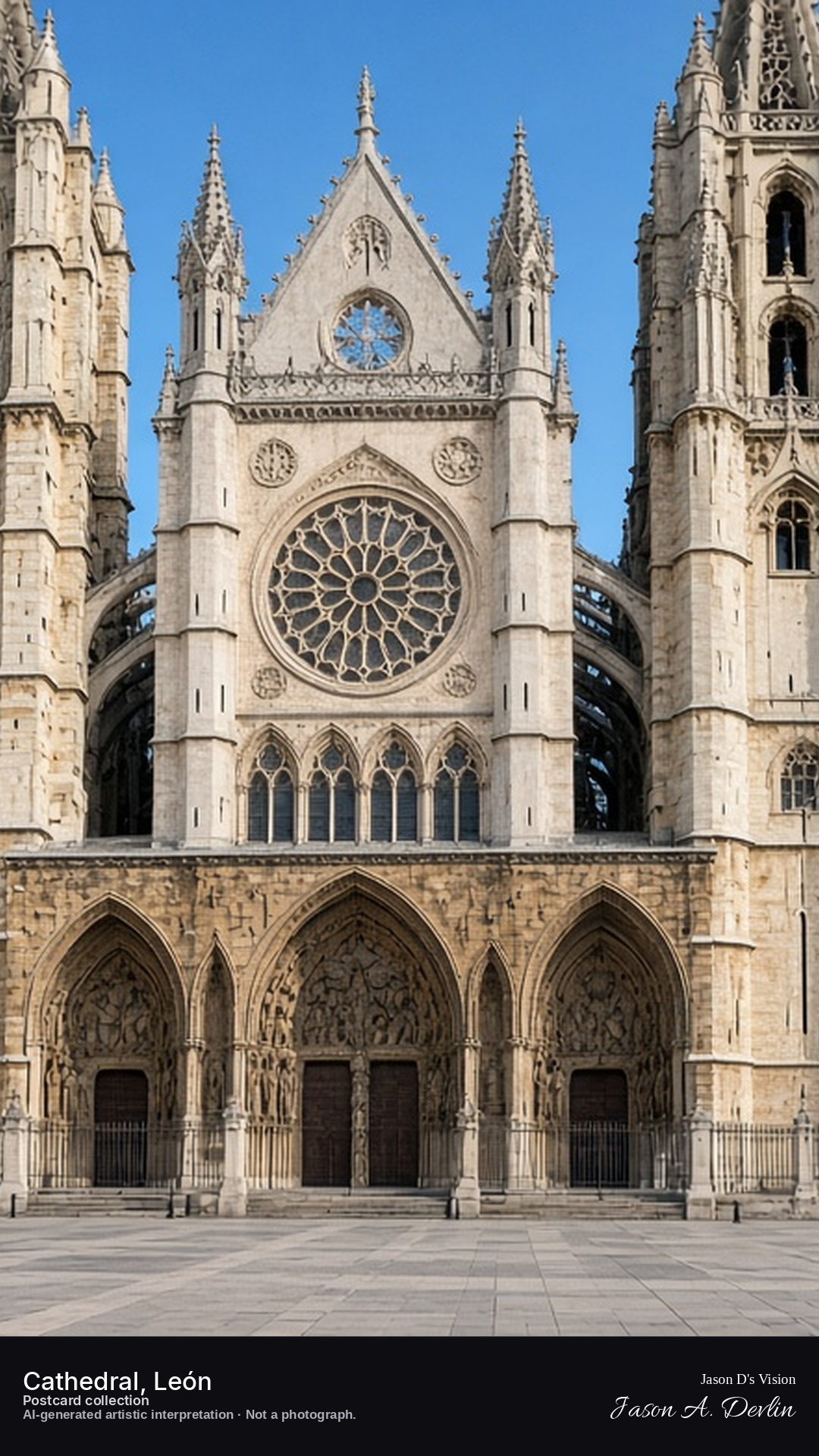
From the cathedral square, the west facade rises before you — twin towers framing the great rose window, the whole frontage softly lit against the night. The carved portals sit in shadow and light at ground level while the towers climb past the lit tracery of the rose. León's cathedral is famed for its glass; even at night, the stonework's elegance shines through under the lamps.
Postcard collection
Night
Viewpoint, conditions & editions
Cathedral square (Plaza de Regla), facing the west facade (approx 42.5997N, 5.5661W)
22°C, weather code 0 (clear), cloud 0%, precipitation 0 mm, wind 5.4 km/h. Sunrise 08:11, sunset 20:16. Scenario minute 01:33 falls inside the 01:00 model-valid hour.
Night lighting is supported by published visitor accounts of the cathedral lit at night, but is not verified for this specific hour. Facade ornament, portal sculpture and lamp placement are interpretive. Camera point is a conventional tourist position in the cathedral square, not map-verified.
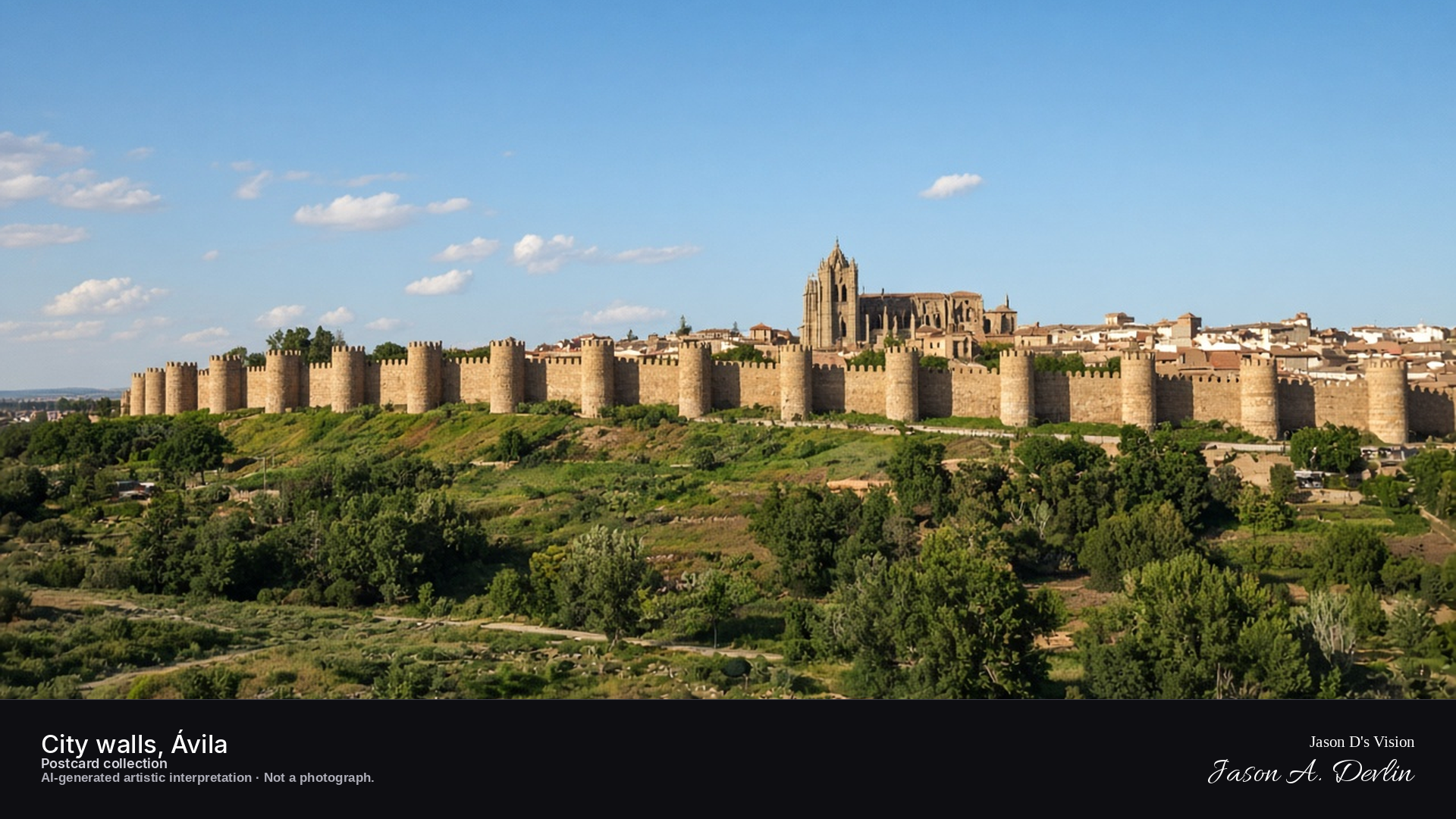
Night · Walls from the Cuatro Postes viewpoint, floodlit against the dark sky · AI-generated artistic interpretation
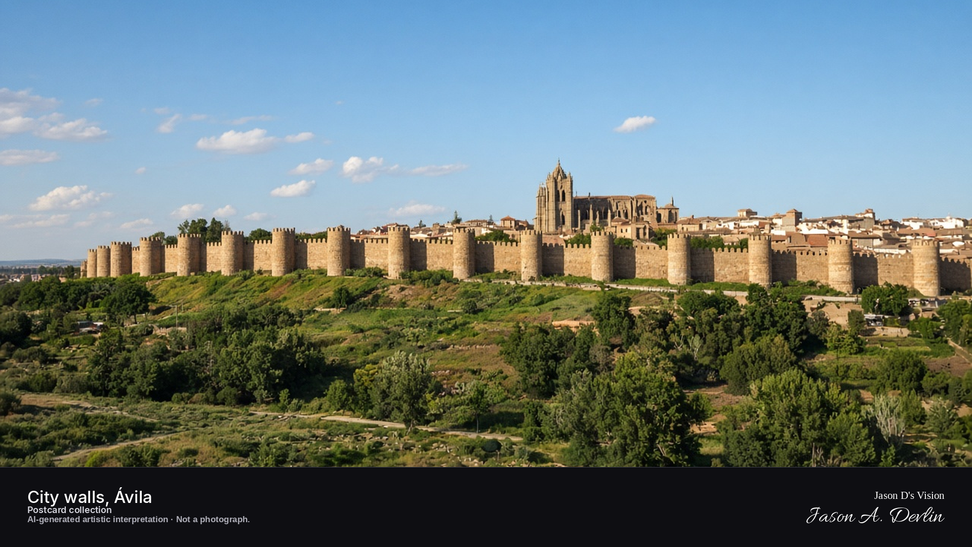
From the Cuatro Postes viewpoint across the valley, the city walls sweep across the frame — eighty-eight towers and crenellated ramparts floodlit golden against the black sky. The walls run the length of the ridge with the old town's lights glowing behind them, and the dark plain falls away below. Ávila's walls are the most complete medieval circuit in Spain, and by night they look every inch the fortress.
Postcard collection
Night
Viewpoint, conditions & editions
Cuatro Postes viewpoint, west of the city across the Adaja (approx 40.6547N, 4.6967W)
17.7°C, weather code 2 (partly cloudy), cloud 64%, precipitation 0 mm, wind 5.1 km/h. Sunrise 08:08, sunset 20:12. Scenario minute 01:50 falls inside the 01:00 model-valid hour.
Night floodlighting of the walls is widely documented and supported by references, but is not verified for this specific hour. Tower count and ornament detail are interpretive. Camera point is the well-known Cuatro Postes viewpoint, a conventional tourist position, not map-verified.
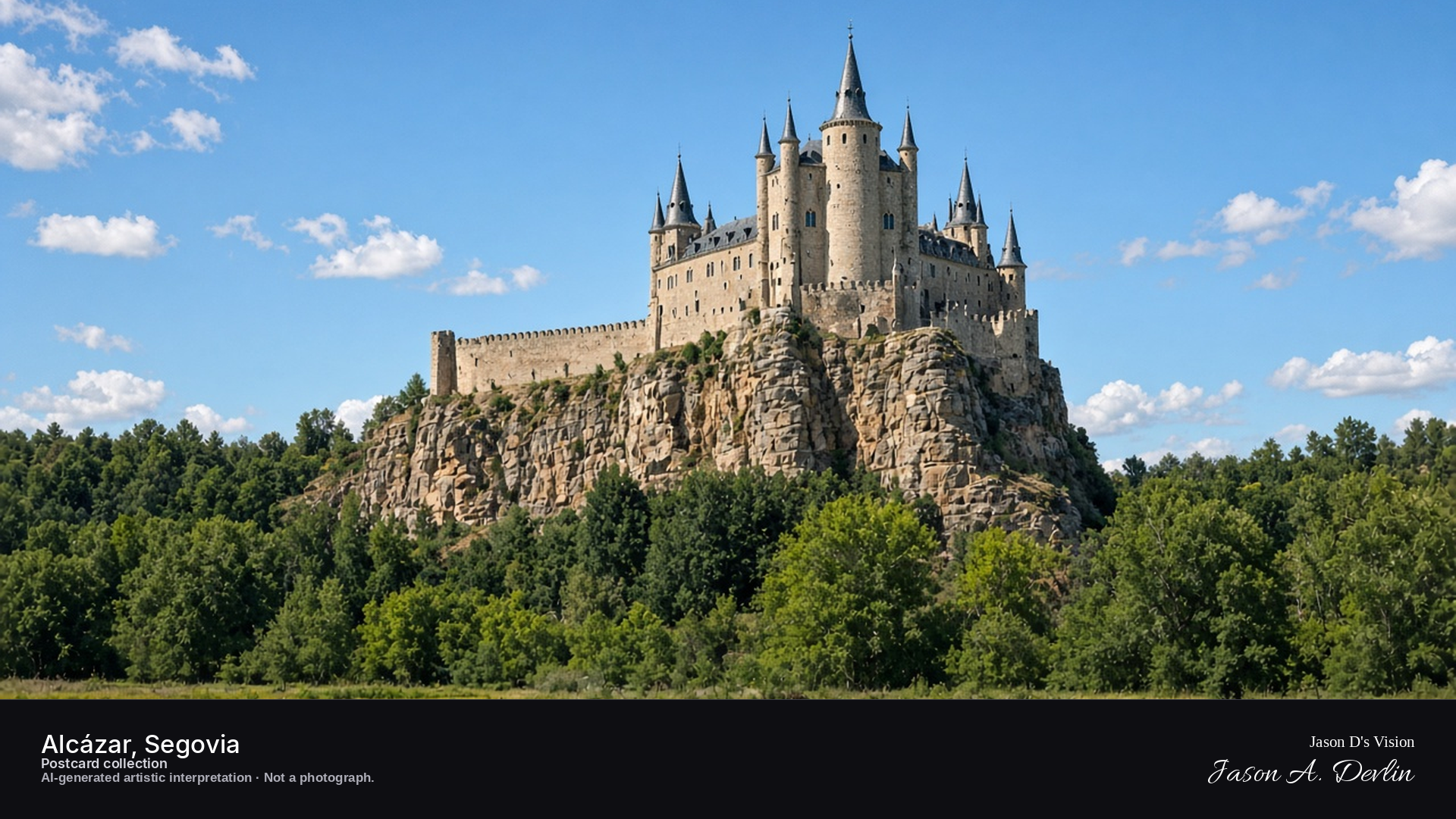
Night · Castle from the Pradera de San Marcos, floodlit against the dark sky · AI-generated artistic interpretation
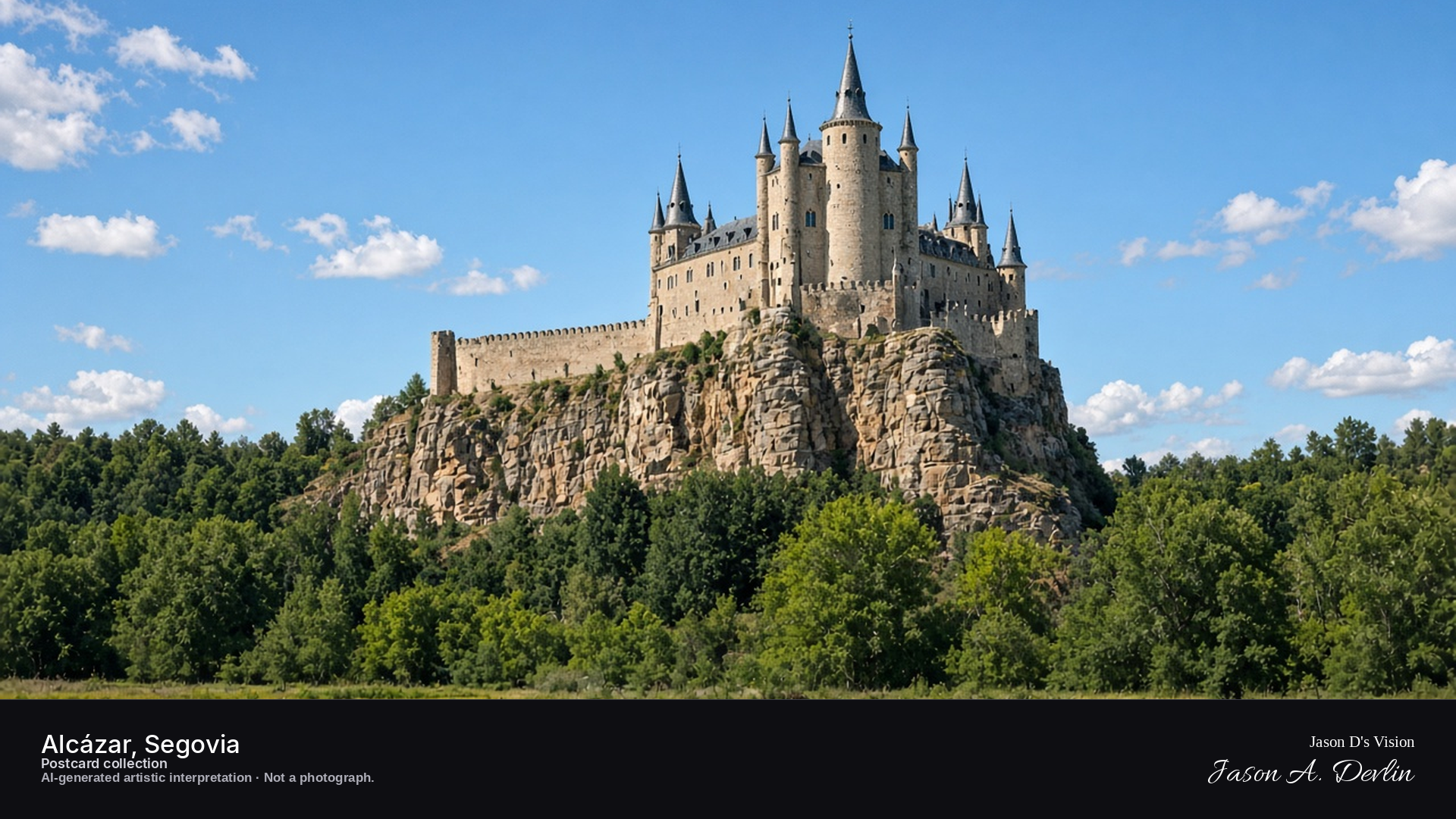
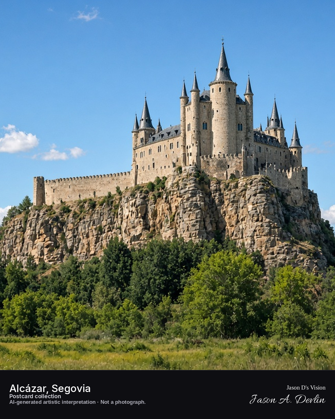
From the Pradera de San Marcos below the confluence, the Alcázar rises like a ship's prow at the center of the frame, its slate spires and stone walls floodlit against the night sky. The castle's dramatic position on the rocky crag is unmistakable — walls plunging down to the river gorge on either side. Segovia's fairy-tale fortress glows above the dark rivers, every bit the castle of storybooks.
Postcard collection
Night
Viewpoint, conditions & editions
Mirador de la Pradera de San Marcos, across the river confluence (approx 40.9525N, 4.1325W)
18.1°C, weather code 2 (partly cloudy), cloud 69%, precipitation 0 mm, wind 8.4 km/h. Sunrise 08:05, sunset 20:10. Scenario minute 02:00 falls inside the 02:00 model-valid hour.
Night floodlighting is supported by published night photographs of the Alcázar illuminated against the dark sky, but is not verified for this specific hour. Spire and turret detail are interpretive. Camera point is the well-known Pradera de San Marcos viewpoint, a conventional tourist position, not map-verified.
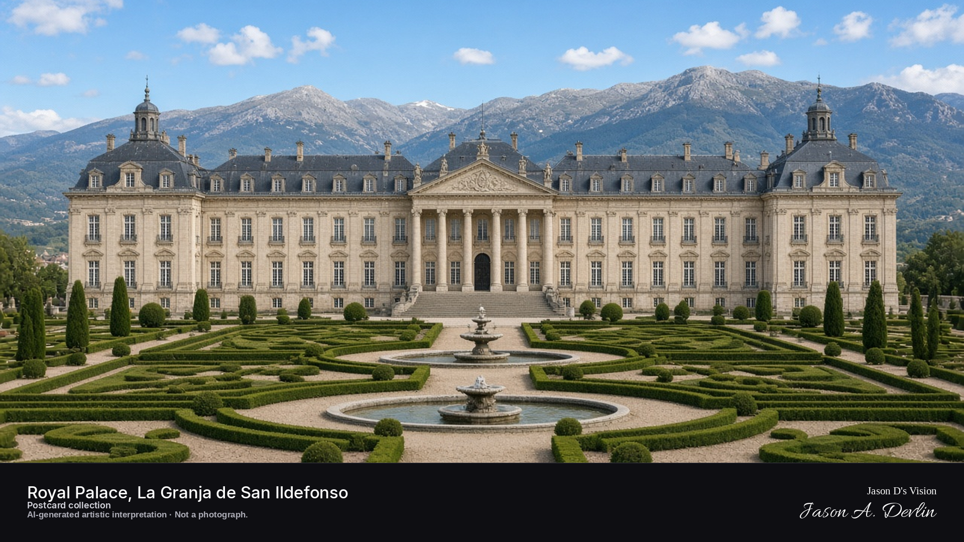
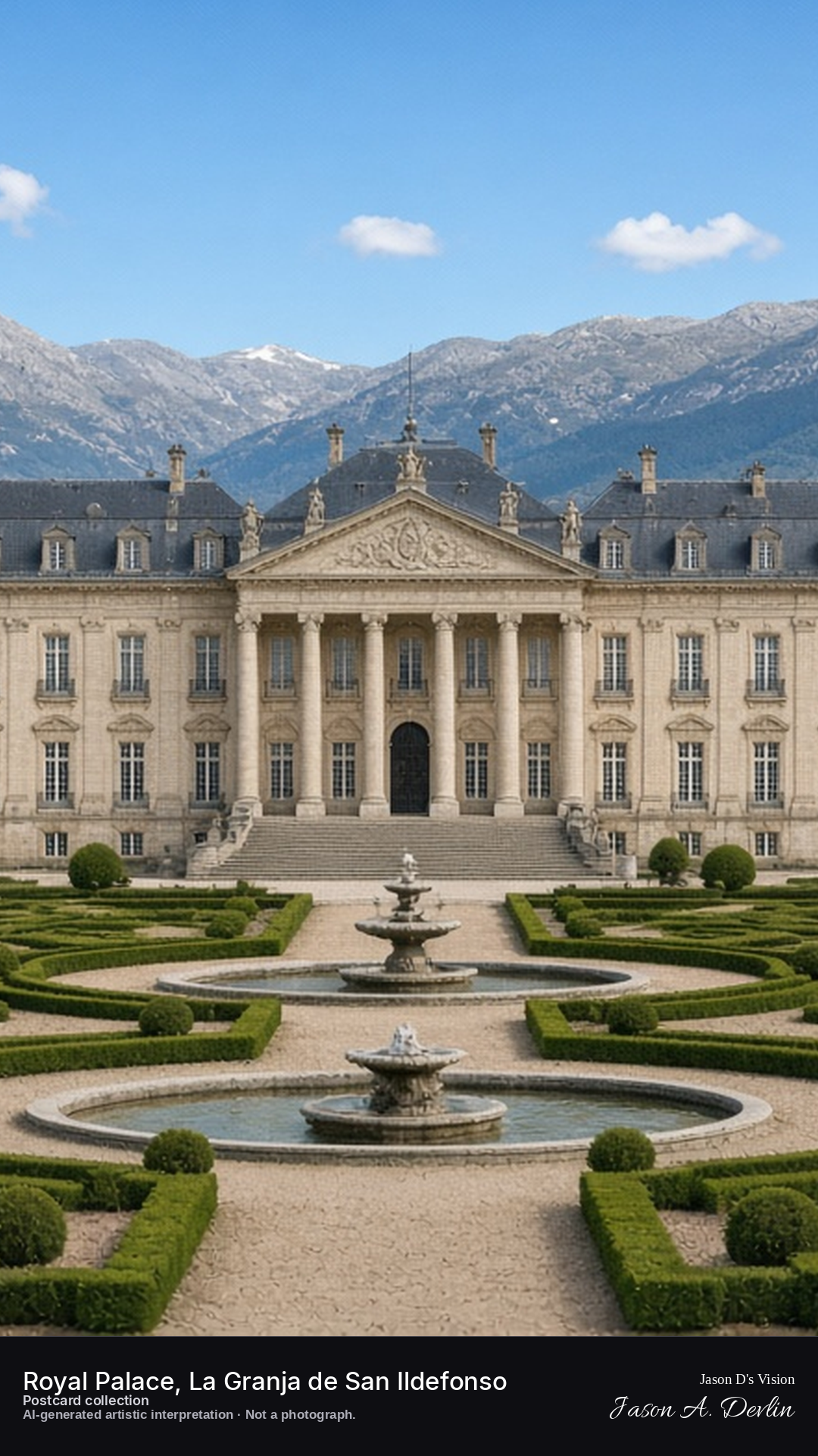
Night · Palace from the upper gardens, moonlit silhouette over the dark parterre · AI-generated artistic interpretation
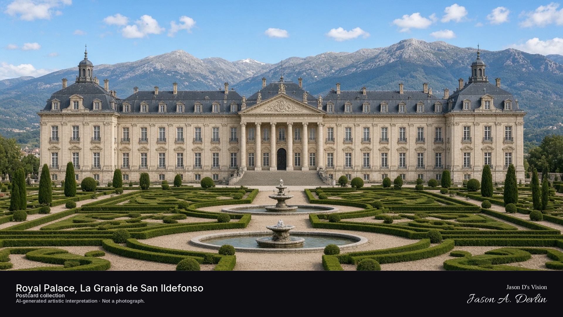
From the upper gardens, the palace appears as a moonlit silhouette across the dark parterre, its long baroque facade and central dome drawn in silver against the night. The formal gardens lie in shadow below, fountains silent and hedges dark. La Granja was the Spanish Bourbons' summer retreat — a little Versailles in the Segovia highlands — and by night it keeps a royal, quiet dignity.
Postcard collection
Night
Viewpoint, conditions & editions
Upper gardens, facing the palace facade (approx 40.8989N, 4.0025W)
17.6°C, weather code 2 (partly cloudy), cloud 69%, precipitation 0 mm, wind 8.1 km/h. Sunrise 08:05, sunset 20:10. Scenario minute 02:06 falls inside the 02:00 model-valid hour.
No floodlighting is claimed: the palace is depicted as a moonlit silhouette because night illumination of the facade is not supported by references. Garden layout, fountain placement and lamp positions are interpretive. Camera point in the upper gardens is a conventional tourist position, not map-verified.
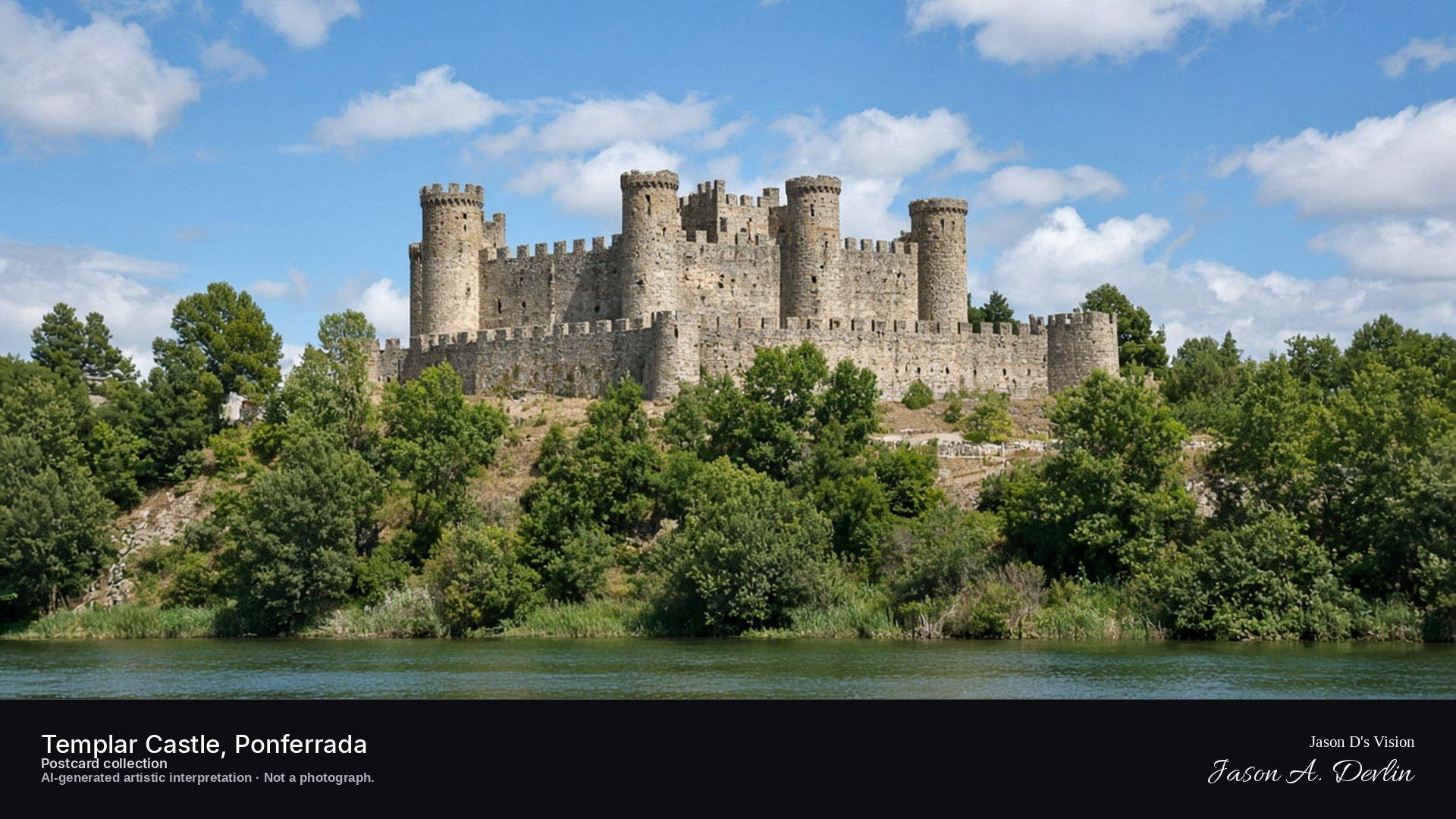
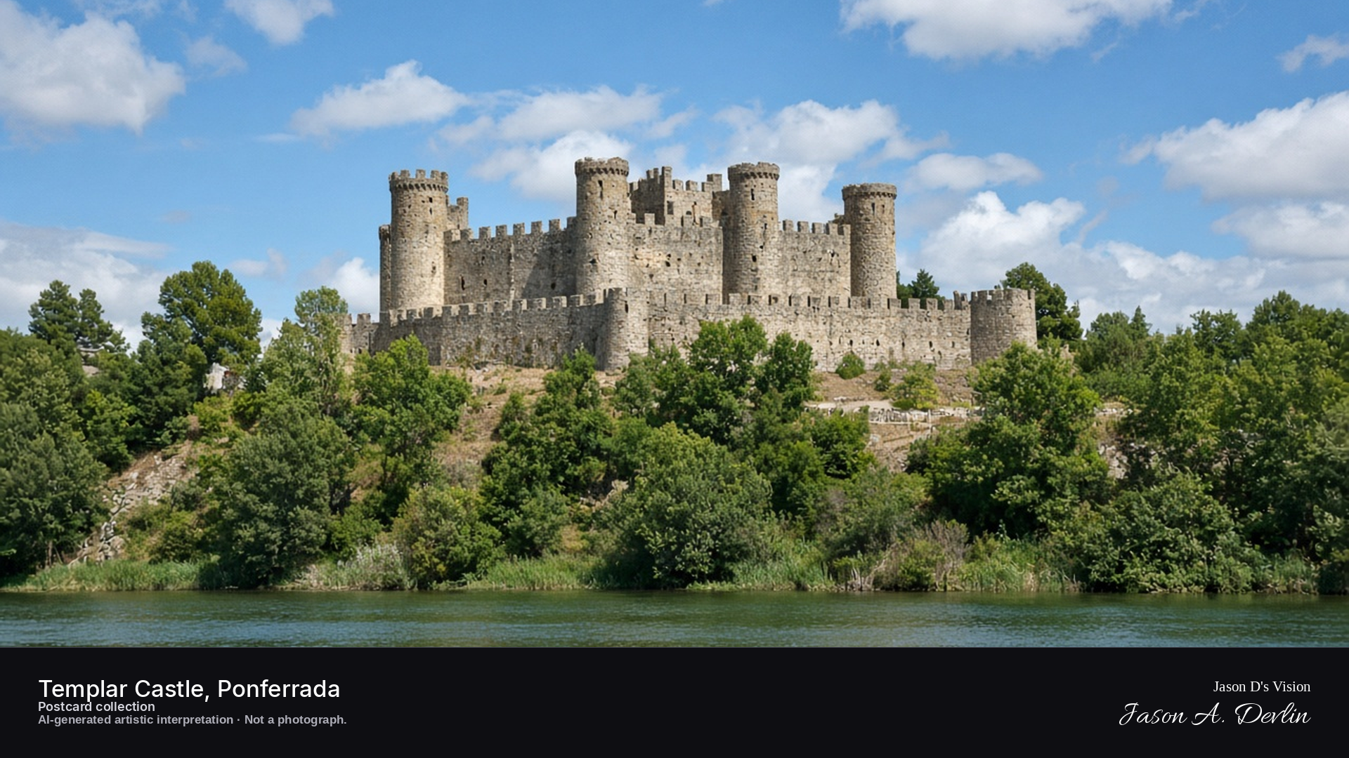
Night · Castle from the park across the Sil river, floodlit against the dark sky · AI-generated artistic interpretation
From the park across the Sil river, the Templar castle fills the frame — its round towers and crenellated walls floodlit warm against the dark sky. The river runs dark in the foreground between the park's trees and the castle walls, doubling the glow in its black water. This was the great Templar stronghold of the Bierzo, guarding the pilgrim road to Santiago, and it still stands watch over Ponferrada.
Postcard collection
Night
Viewpoint, conditions & editions
Park across the Sil river, facing the castle hill (approx 42.5447N, 6.5880W)
15.3°C, weather code 0 (clear), cloud 0%, precipitation 0 mm, wind 7.1 km/h. Sunrise 08:15, sunset 20:20. Scenario minute 02:14 falls inside the 02:00 model-valid hour.
Night floodlighting is supported by traveller reviews and published night photographs, but is not verified for this specific hour. Tower and wall detail are interpretive. Camera point is a conventional tourist viewpoint across the river, not map-verified.
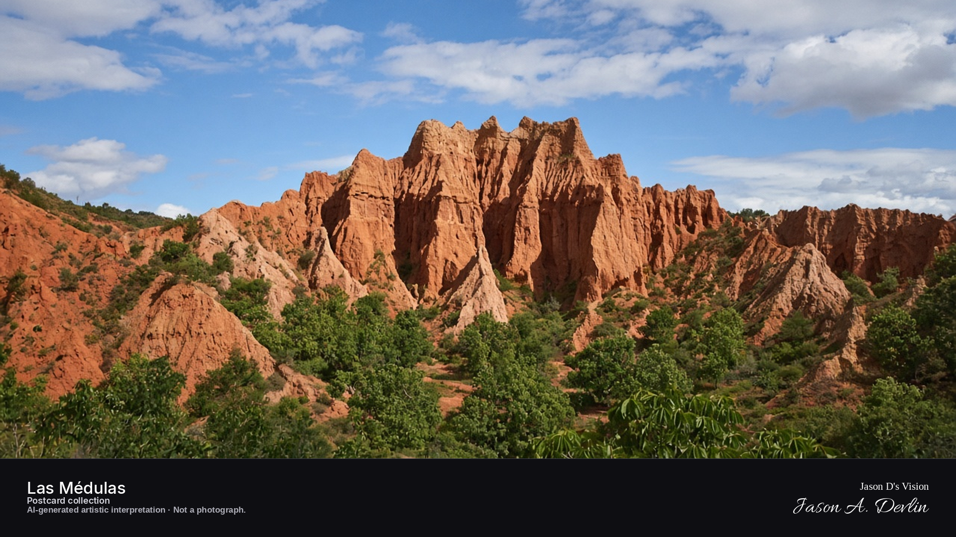
Night · Roman mine landscape from the Mirador de Orellán, dark silhouettes under stars · AI-generated artistic interpretation
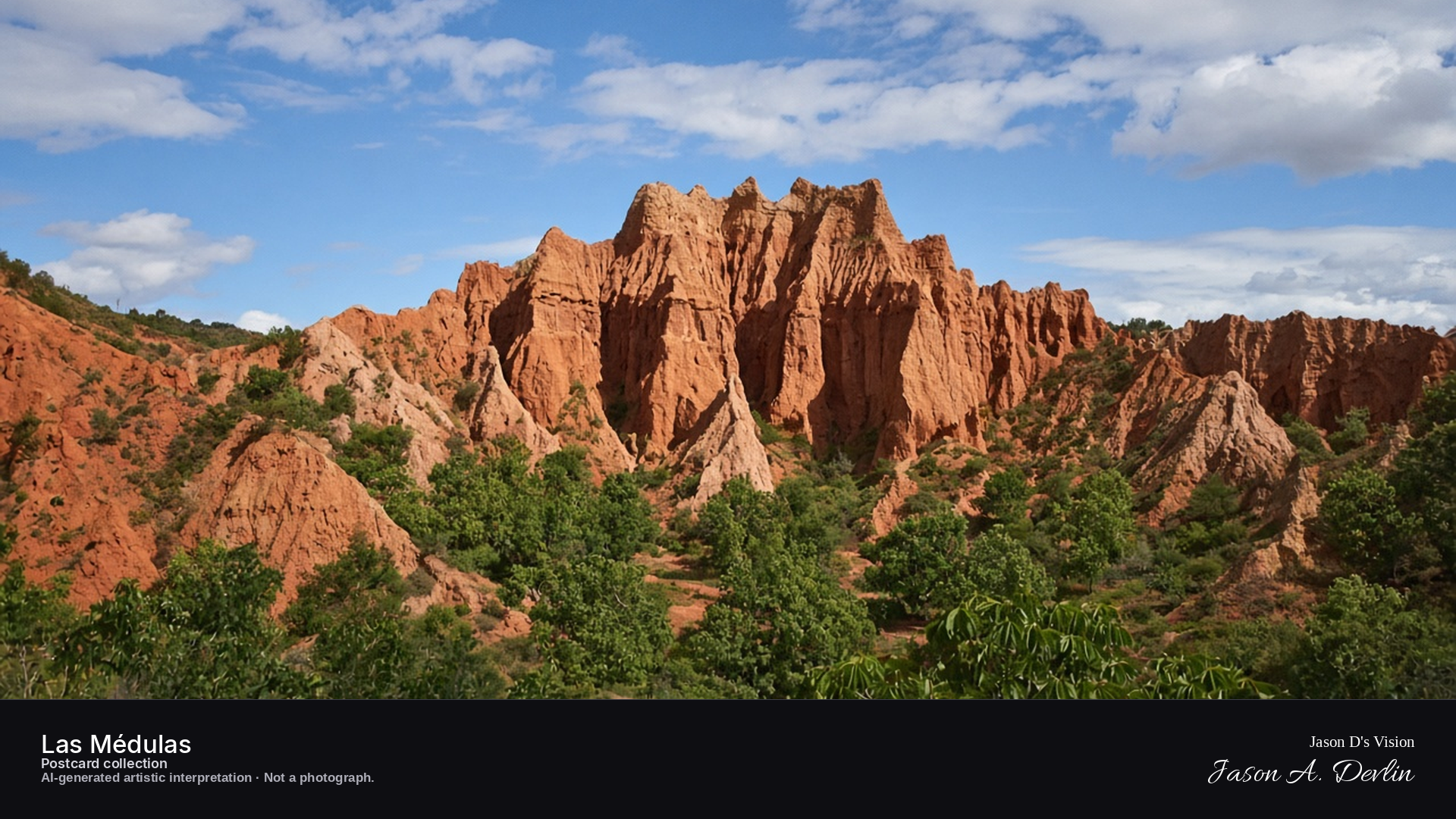
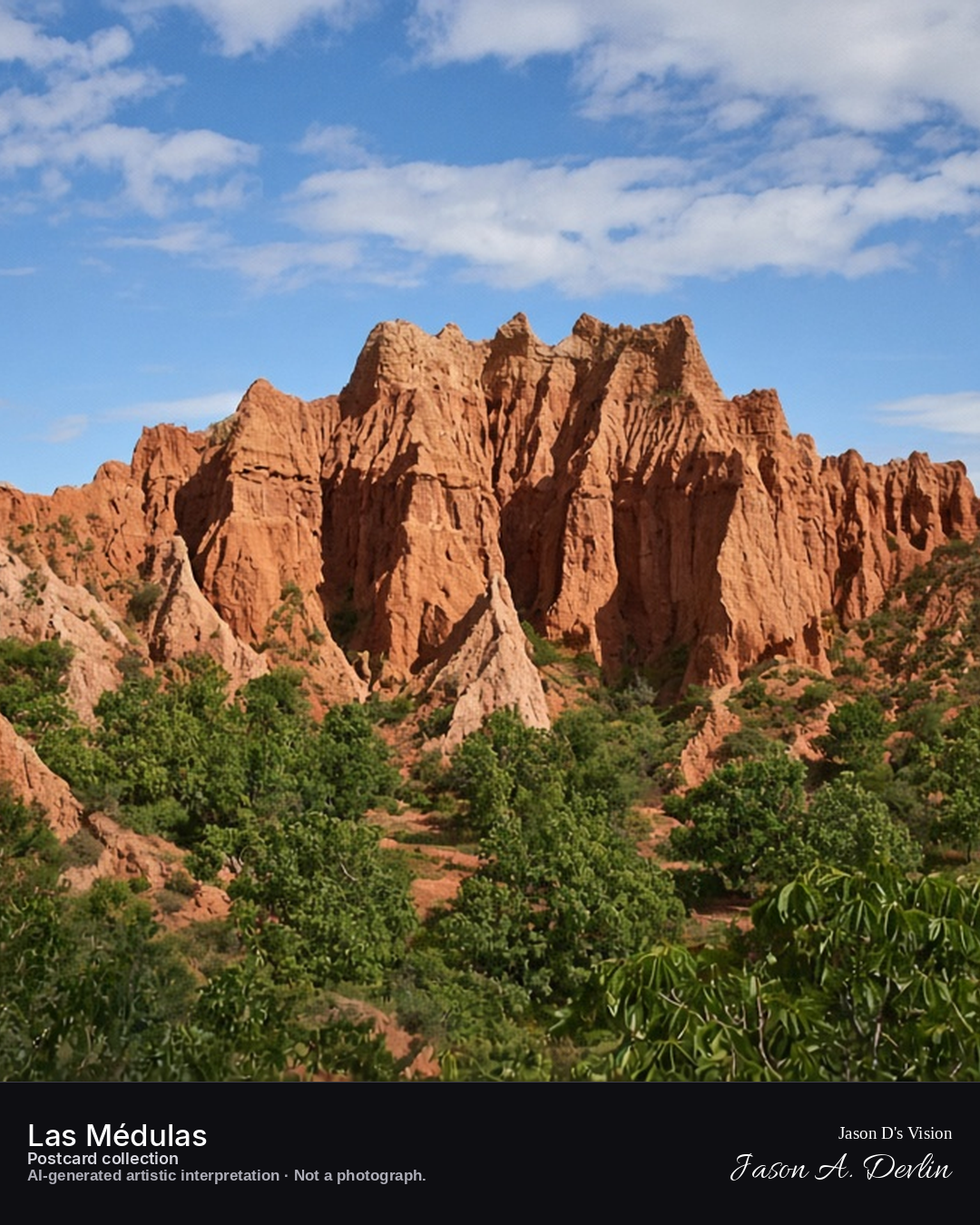
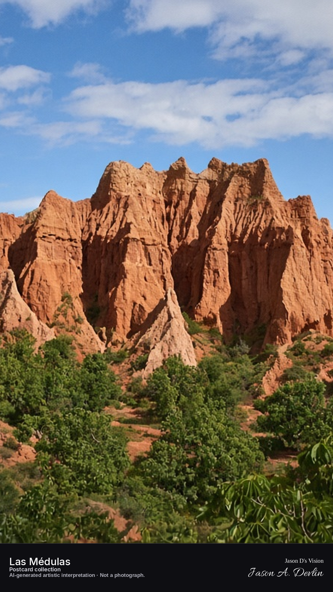
From the Mirador de Orellán, the Roman mine landscape spreads out below in dark, jagged silhouettes — the famous red pinnacles and gullies of Las Médulas standing black against a sky full of stars. Two thousand years ago Roman engineers washed these hills away for gold, leaving this strange, beautiful ruin of a landscape. Under the stars, the silent towers of earth look almost lunar.
Postcard collection
Night
Viewpoint, conditions & editions
Mirador de Orellán, facing the mine peaks (approx 42.4619N, 6.7711W)
18.5°C, weather code 0 (clear), cloud 0%, precipitation 0 mm, wind 6.4 km/h. Sunrise 08:16, sunset 20:21. Scenario minute 02:30 falls inside the 02:00 model-valid hour.
No artificial lighting is depicted: Las Médulas is a naturally dark landscape and the interpretation keeps it dark. Peak shapes and moonlight placement are interpretive. Camera point is the well-known Mirador de Orellán, a conventional tourist position, not map-verified.
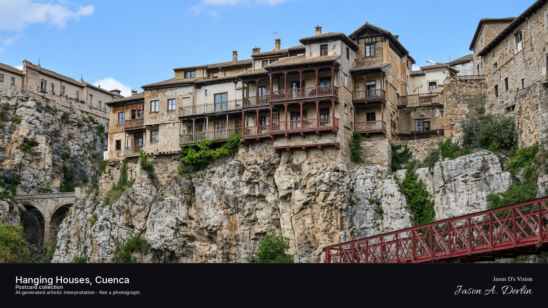
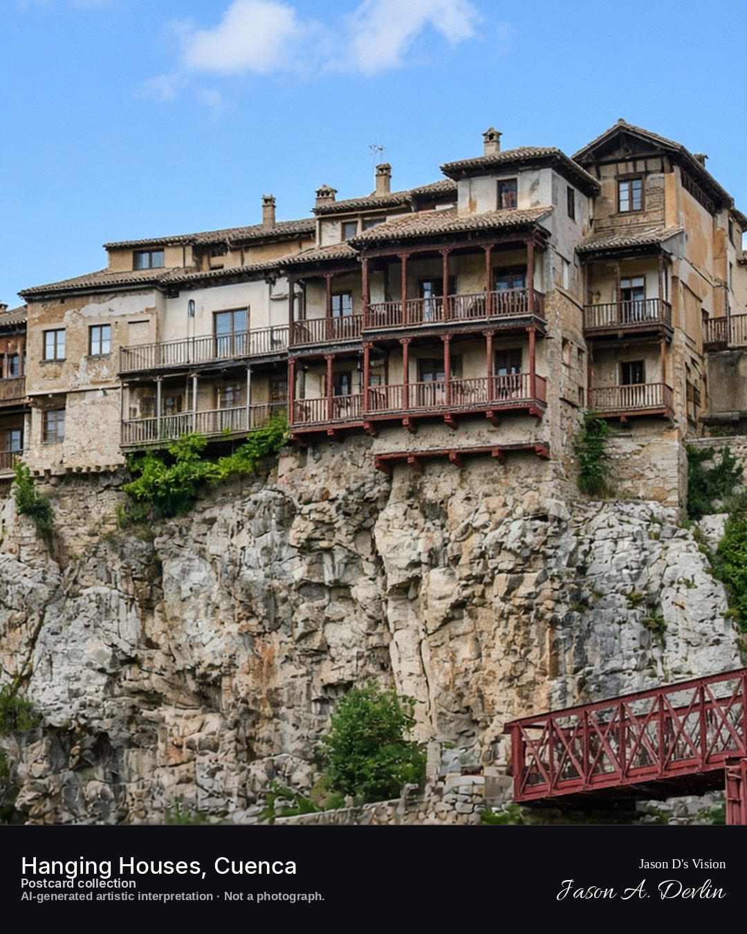
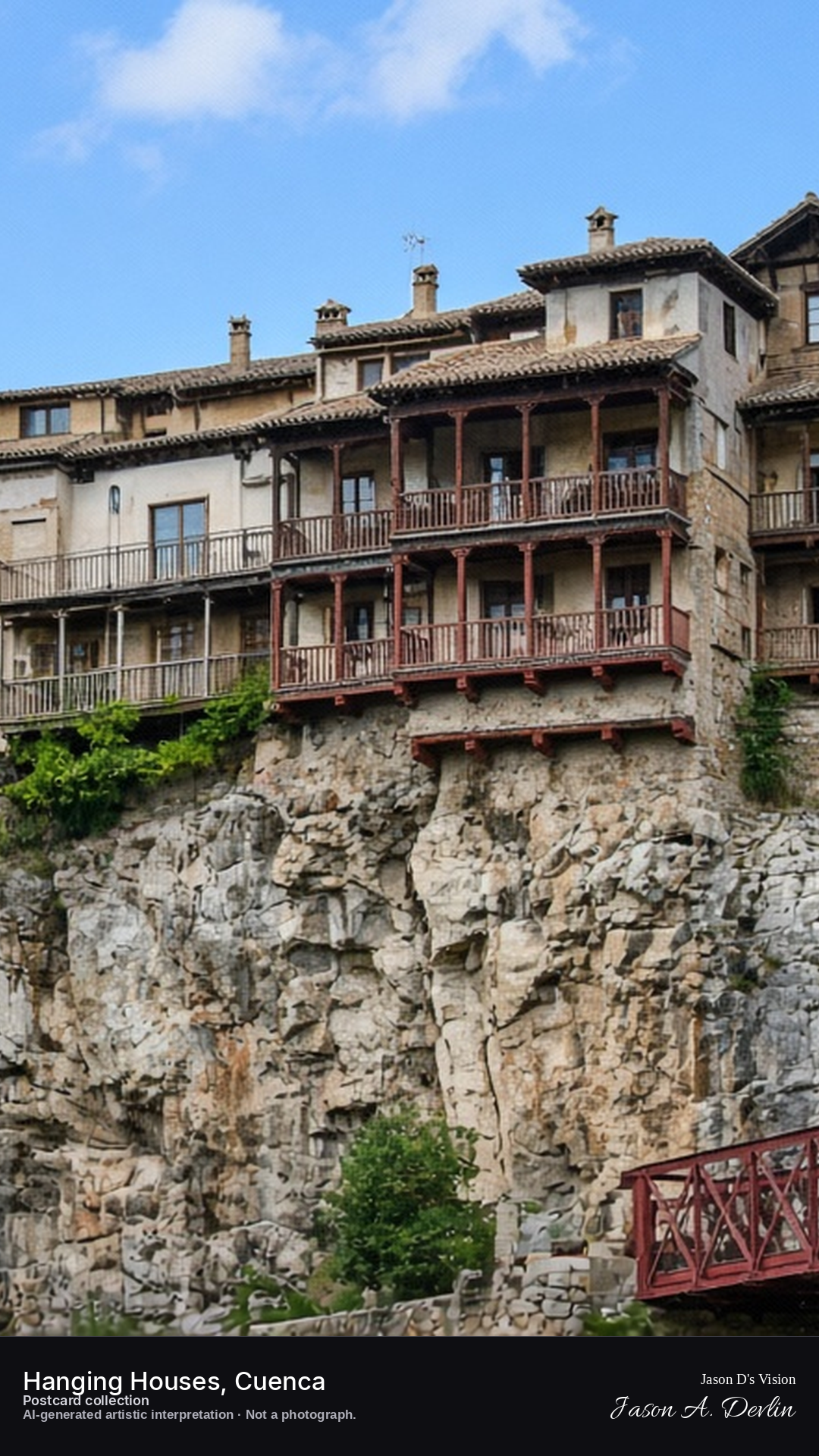
Night · Hanging houses from the Puente de San Pablo, windows glowing over the gorge · AI-generated artistic interpretation
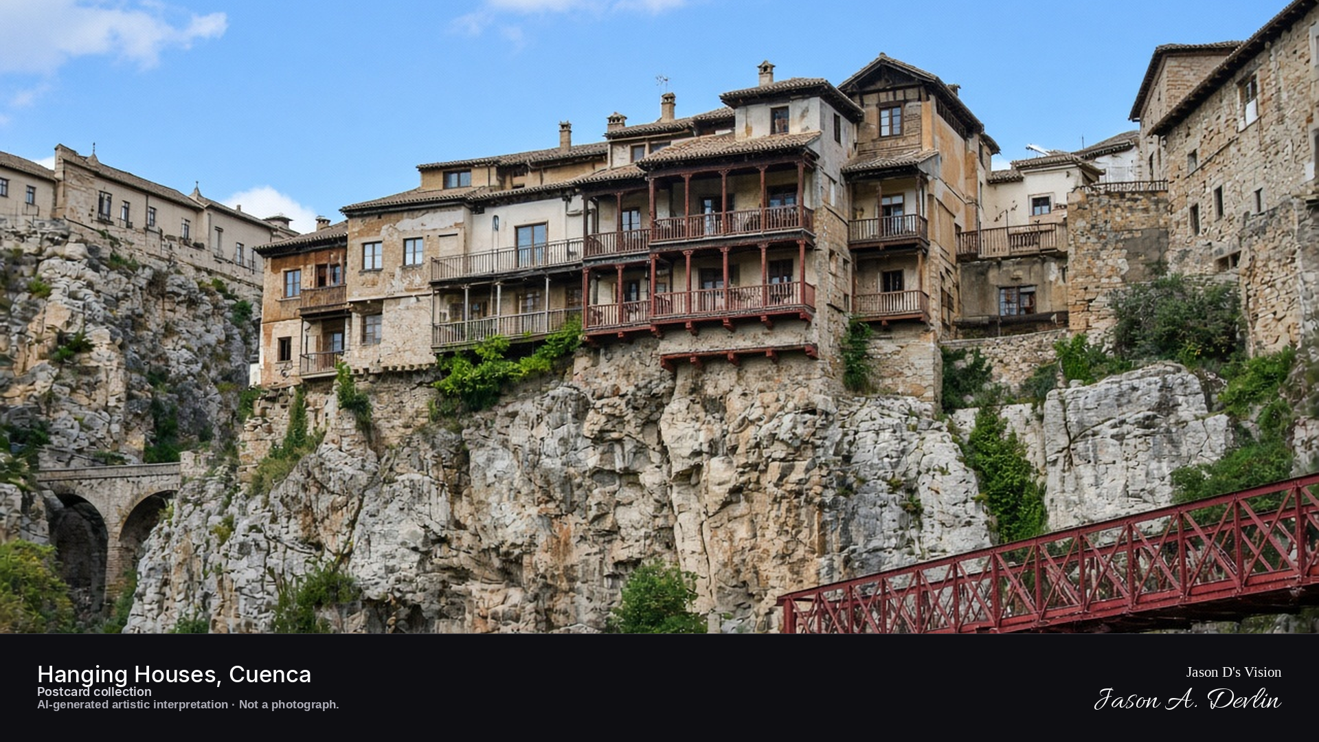
From the Puente de San Pablo, the Hanging Houses cling to the cliff edge across the gorge — their wooden balconies jutting over the drop, windows glowing warm against the night. The gorge falls away dark below the bridge, with the old town's lights scattered along the far rim. Cuenca's casas colgadas are Spain's most famous cliff dwellings, and lit from within they hang over the void like lanterns.
Postcard collection
Night
Viewpoint, conditions & editions
Puente de San Pablo, facing the hanging houses (approx 40.0767N, 2.1303W)
17.5°C, weather code 1 (mainly clear), cloud 9%, precipitation 0 mm, wind 7.5 km/h. Sunrise 07:57, sunset 20:02. Scenario minute 02:38 falls inside the 02:00 model-valid hour.
Window illumination is supported by traveller reports of the houses lit at night, but is not verified for this specific hour. Balcony and bridge detail are interpretive. Camera point is the Puente de San Pablo, the classic viewpoint for the hanging houses.
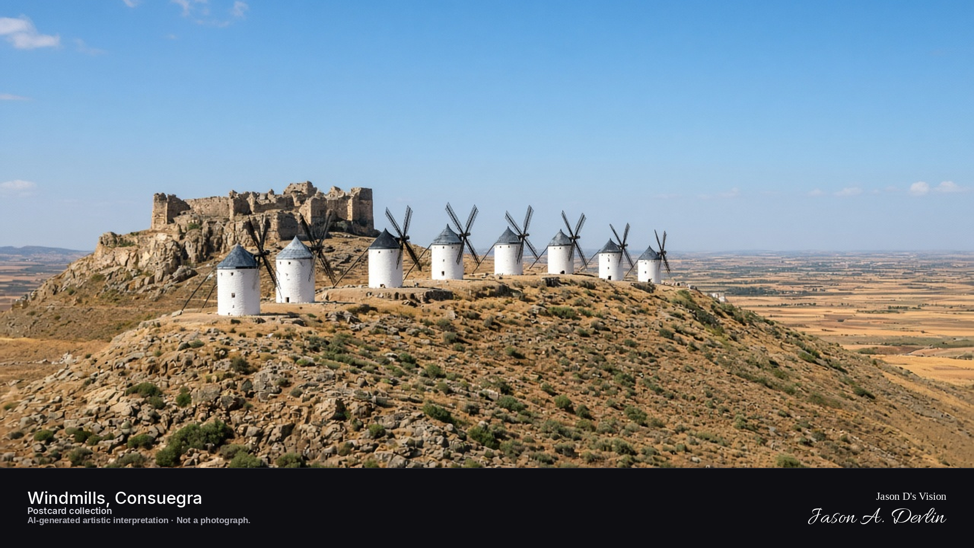
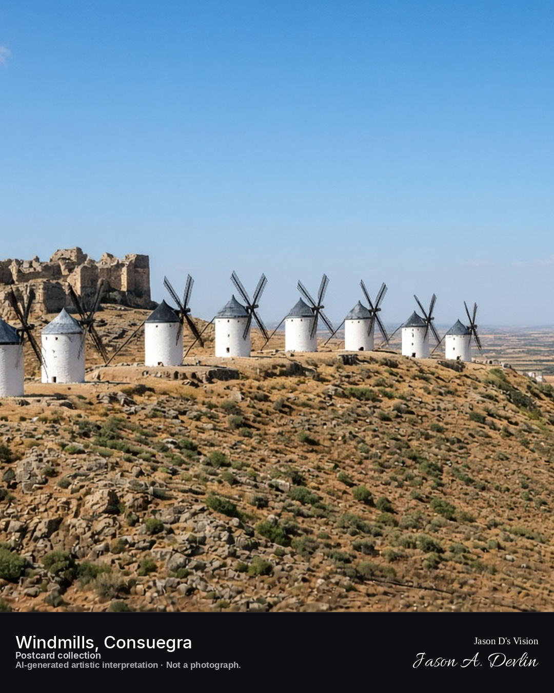
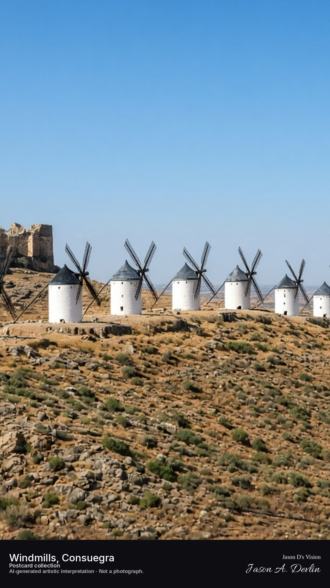
Night · Windmill ridge from the slope, floodlit against the starry sky · AI-generated artistic interpretation
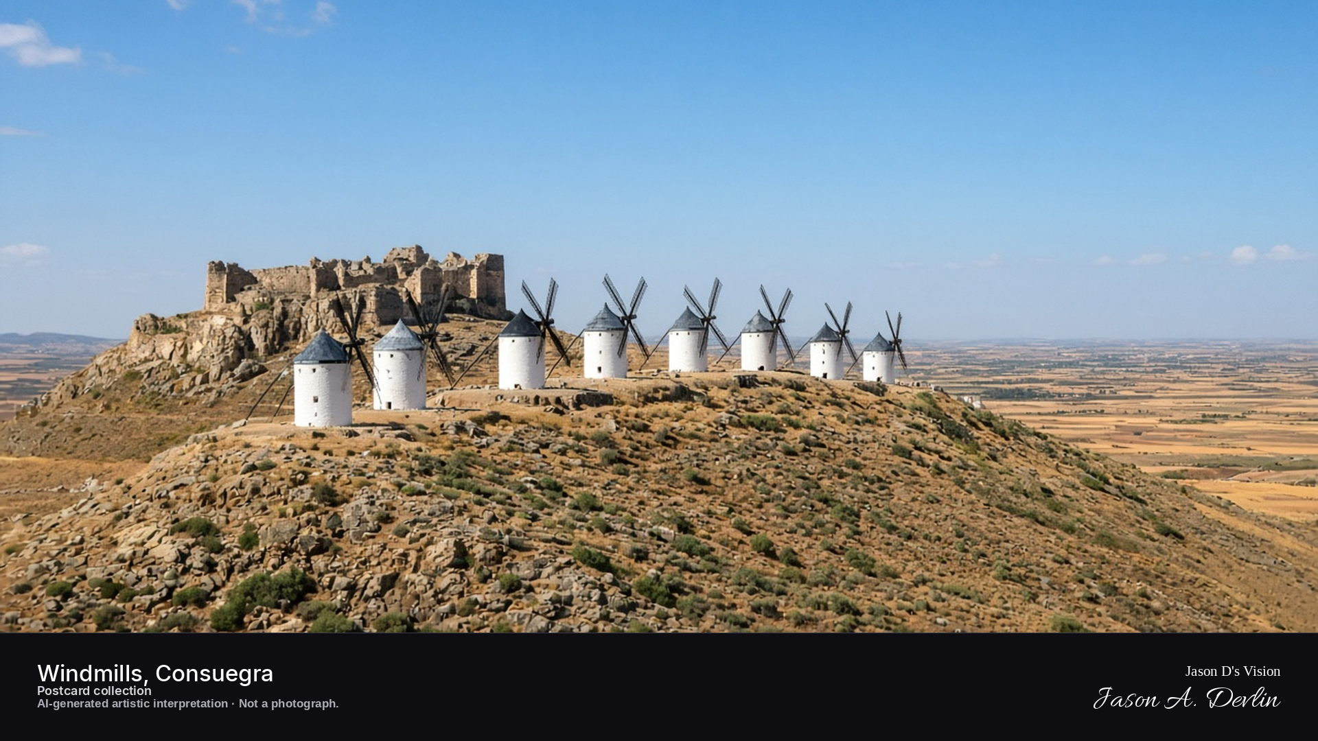
From the slope below, the windmill ridge stands out against the starry sky — the great white mills floodlit on the hilltop, their sails dark against the light. The mills march along the ridge line with the castle ruins behind them, lamps glowing at their doors. These are the giants Don Quixote tilted at, and by night on the Cerro Calderico they keep their timeless watch over La Mancha.
Postcard collection
Night
Viewpoint, conditions & editions
Lower slope of Cerro Calderico, facing the windmill row (approx 39.4636N, 3.6086W)
20.4°C, weather code 0 (clear), cloud 0%, precipitation 0 mm, wind 6.3 km/h. Sunrise 08:03, sunset 20:08. Scenario minute 02:46 falls inside the 02:00 model-valid hour.
Night floodlighting of the windmills and castle is supported by travel guides, but is not verified for this specific hour. Sails and castle detail are interpretive. Camera point on the slope is a conventional tourist viewpoint, not map-verified.
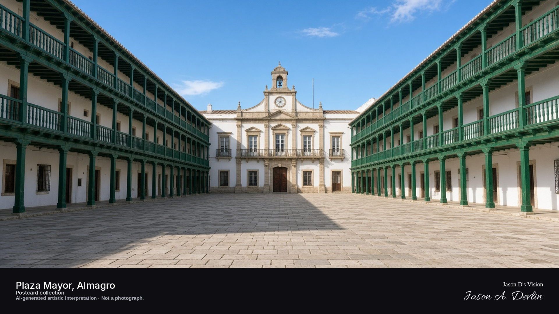
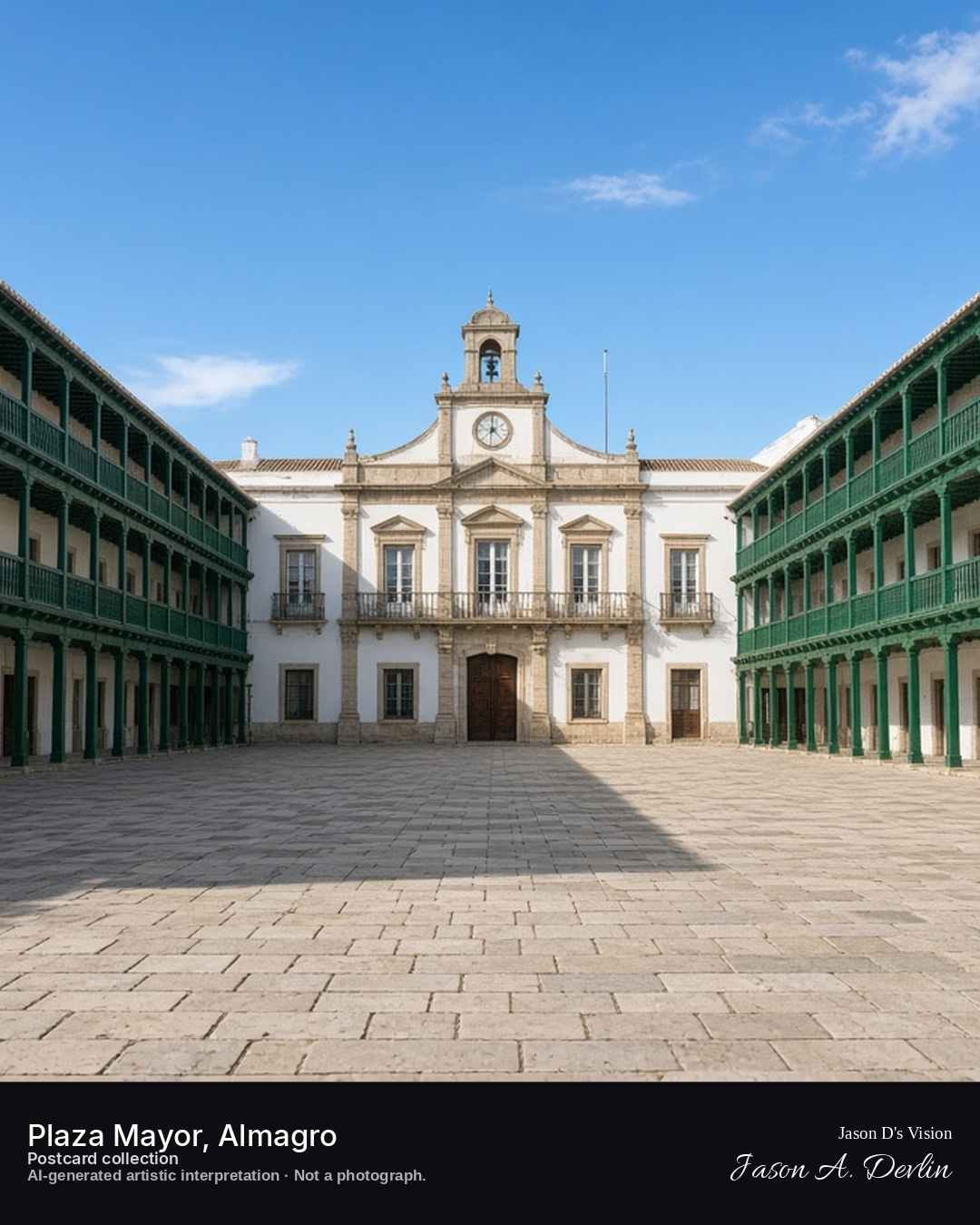
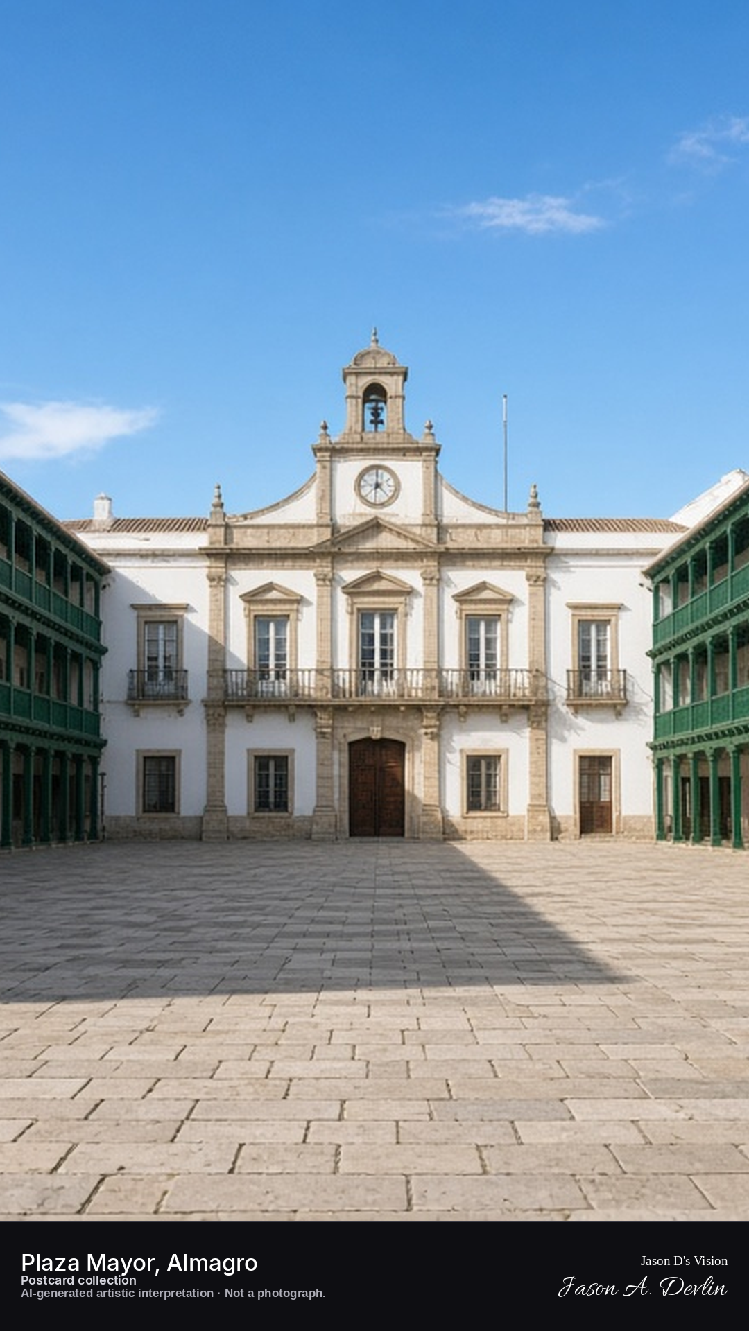
Night · Plaza from gallery level, terrace light spilling onto the dark square · AI-generated artistic interpretation
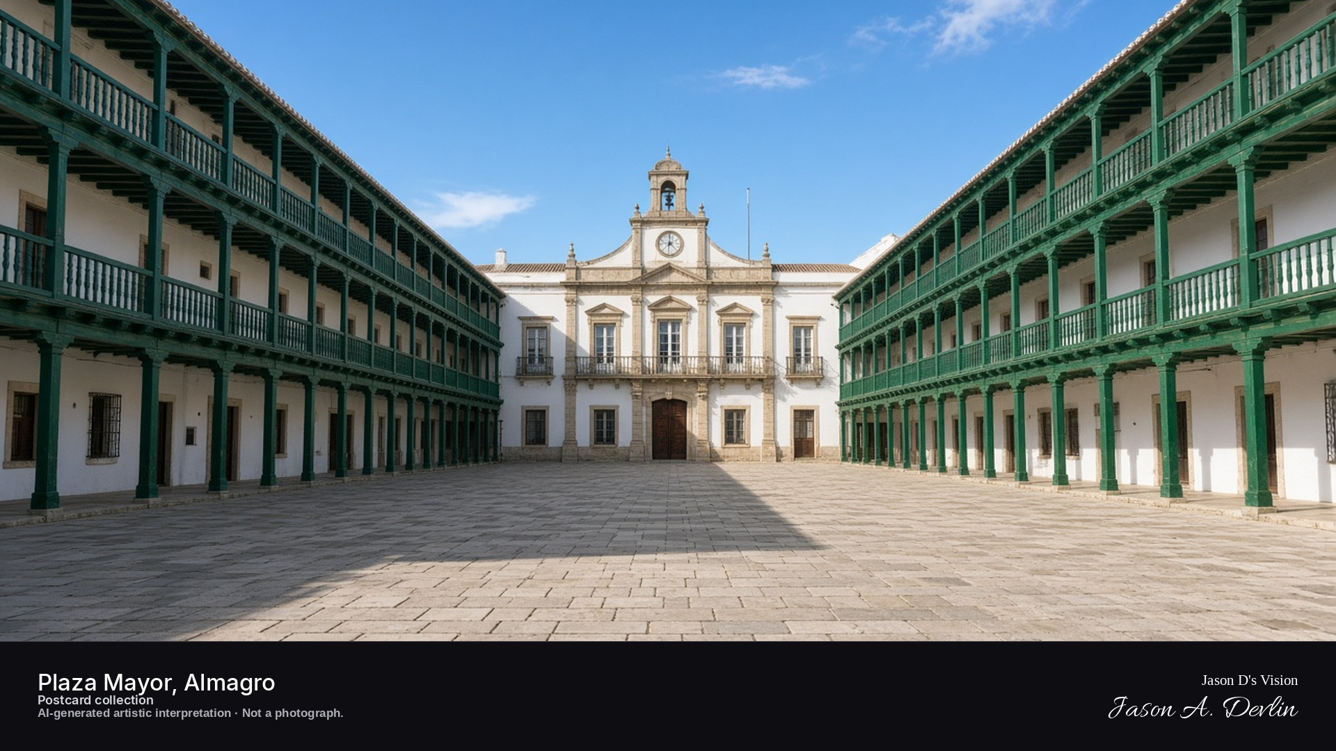
From gallery level, the plaza unfolds below — the famous green-railed wooden galleries of Almagro's houses glowing with terrace light that spills onto the dark square. Tables and chairs sit in the lamplight beneath the arcades while the upper galleries run the length of the frame. This is one of La Mancha's most theatrical squares, and on a warm night the whole town seems to gather under its balconies.
Postcard collection
Night
Viewpoint, conditions & editions
Gallery level of the Plaza Mayor, facing the Town Hall (approx 38.8889N, 3.7142W)
21.2°C, weather code 0 (clear), cloud 0%, precipitation 0 mm, wind 5.2 km/h. Sunrise 08:04, sunset 20:08. Scenario minute 02:54 falls inside the 02:00 model-valid hour.
No night floodlighting is claimed — traveller reports describe the square's night lighting as poor, and the scene reflects only terrace spill light; unverified for this specific hour. Gallery columns and Town Hall detail are interpretive. Camera point is a conventional square viewpoint, not map-verified.
Night · Castle from below, floodlit on its hill above the dark town · AI-generated artistic interpretation
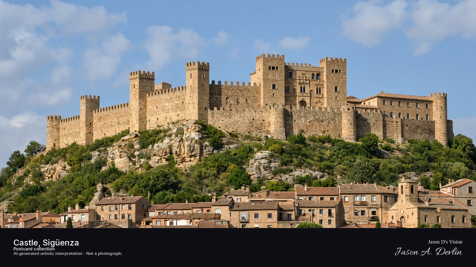
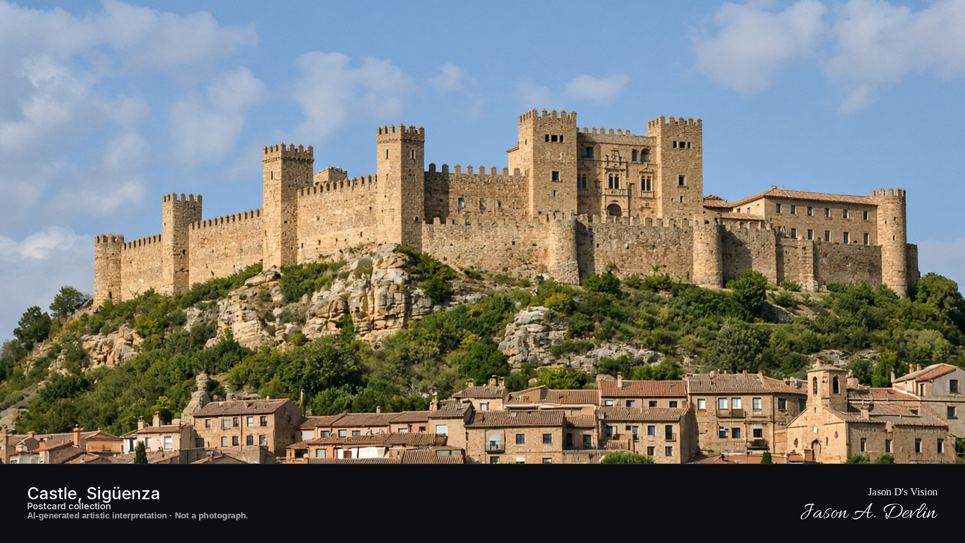
Seen from below, the castle-palace crowns its hill above Sigüenza — massive stone walls and towers floodlit against the night while the dark town clusters at its foot. The fortress glows golden where the lights catch it, a great medieval bulk over the rooftops. Part castle, part palace, part parador — Sigüenza's fortress has guarded this pass for a thousand years.
Postcard collection
Night
Viewpoint, conditions & editions
Below the castle hill, facing the illuminated fortress (approx 41.0667N, 2.6417W)
14.7°C, weather code 1 (mainly clear), cloud 27%, precipitation 0 mm, wind 5.8 km/h. Sunrise 07:59, sunset 20:04. Scenario minute 03:02 falls inside the 03:00 model-valid hour.
Night floodlighting of the castle is supported by night-route guides, but is not verified for this specific hour. Wall and tower detail are interpretive. Camera point is a conventional below-the-hill viewpoint, not map-verified.
Night · Castle from the approach, standing out against the starry sky · AI-generated artistic interpretation
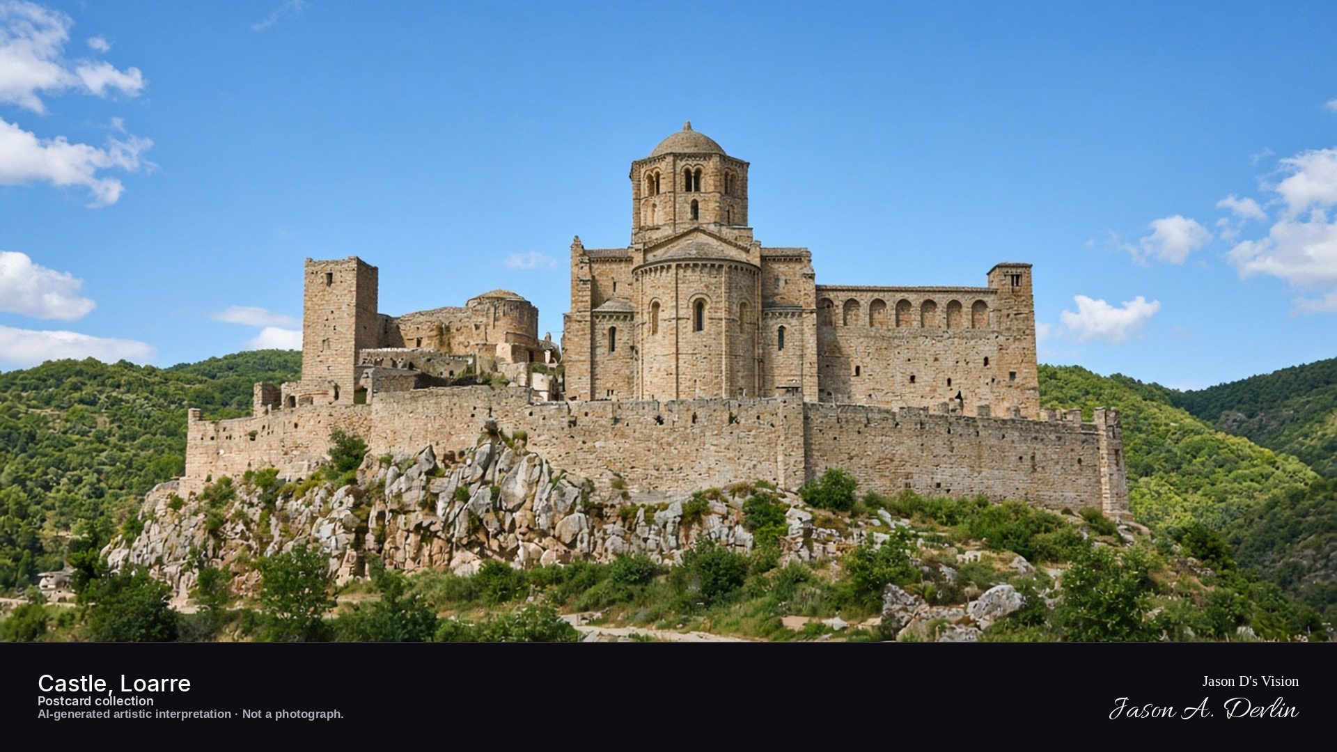
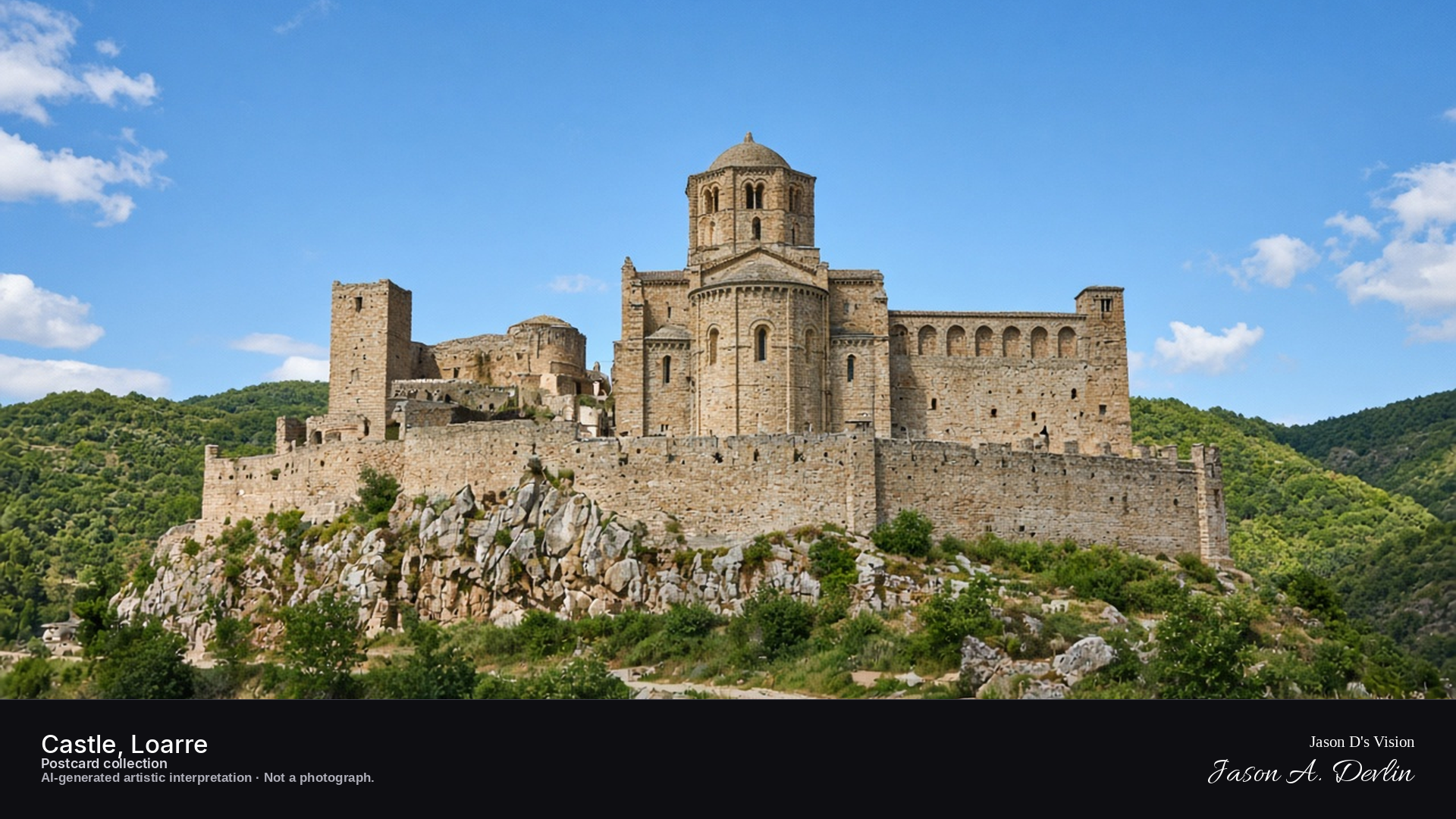
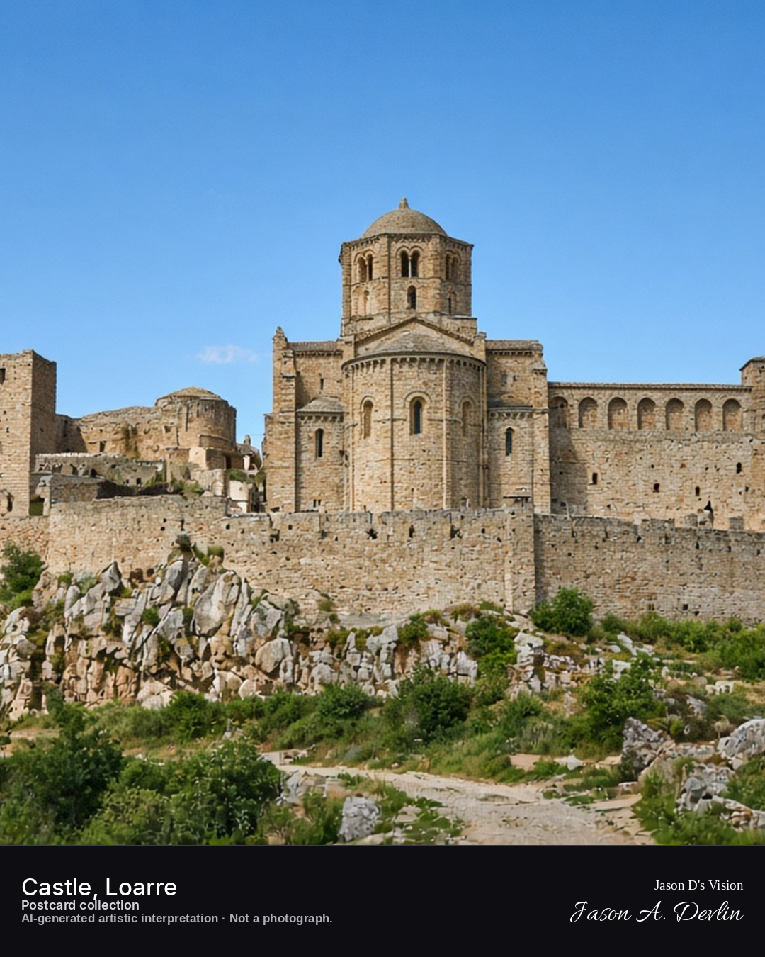
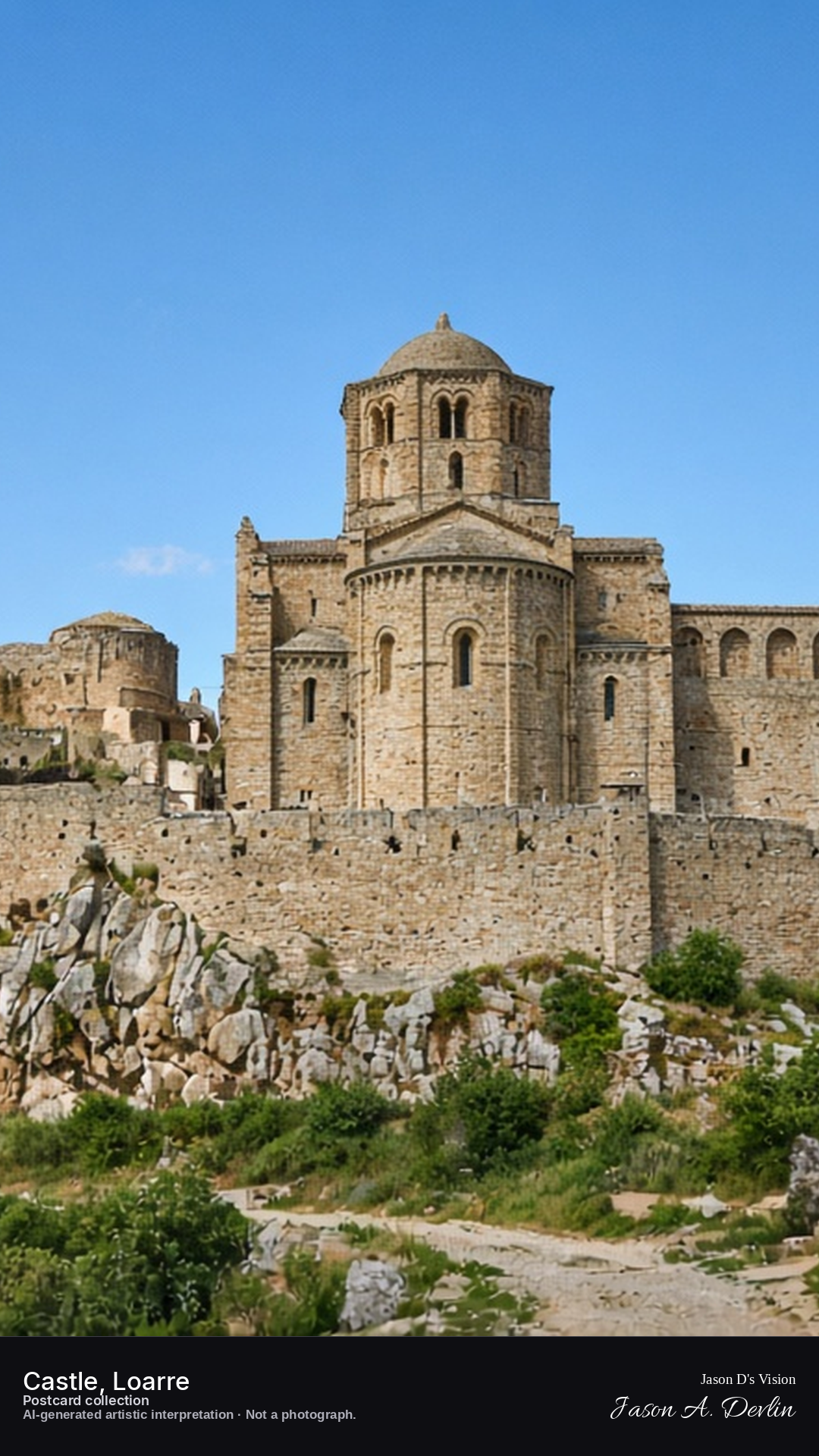
From the approach below, the castle of Loarre stands out against the starry sky — its Romanesque walls and towers drawn dark and clear against the night, with the great keep rising at the center. The fortress sits on its rocky spur above the plains, every line of its eleventh-century stonework crisp in the moonlight. This is one of Europe's finest Romanesque castles, and it wears the night like a crown.
Postcard collection
Night
Viewpoint, conditions & editions
Castle approach path, facing the complex (approx 42.3156N, 0.6242W)
17.5°C, weather code 0 (clear), cloud 0%, precipitation 0 mm, wind 5.4 km/h. Sunrise 07:51, sunset 19:56. Scenario minute 03:10 falls inside the 03:00 model-valid hour.
Exact night illumination is unverified — no floodlighting is claimed, only scattered interior lights; unverified for this specific hour. Tower and church detail are interpretive. Camera point is a conventional approach viewpoint, not map-verified.
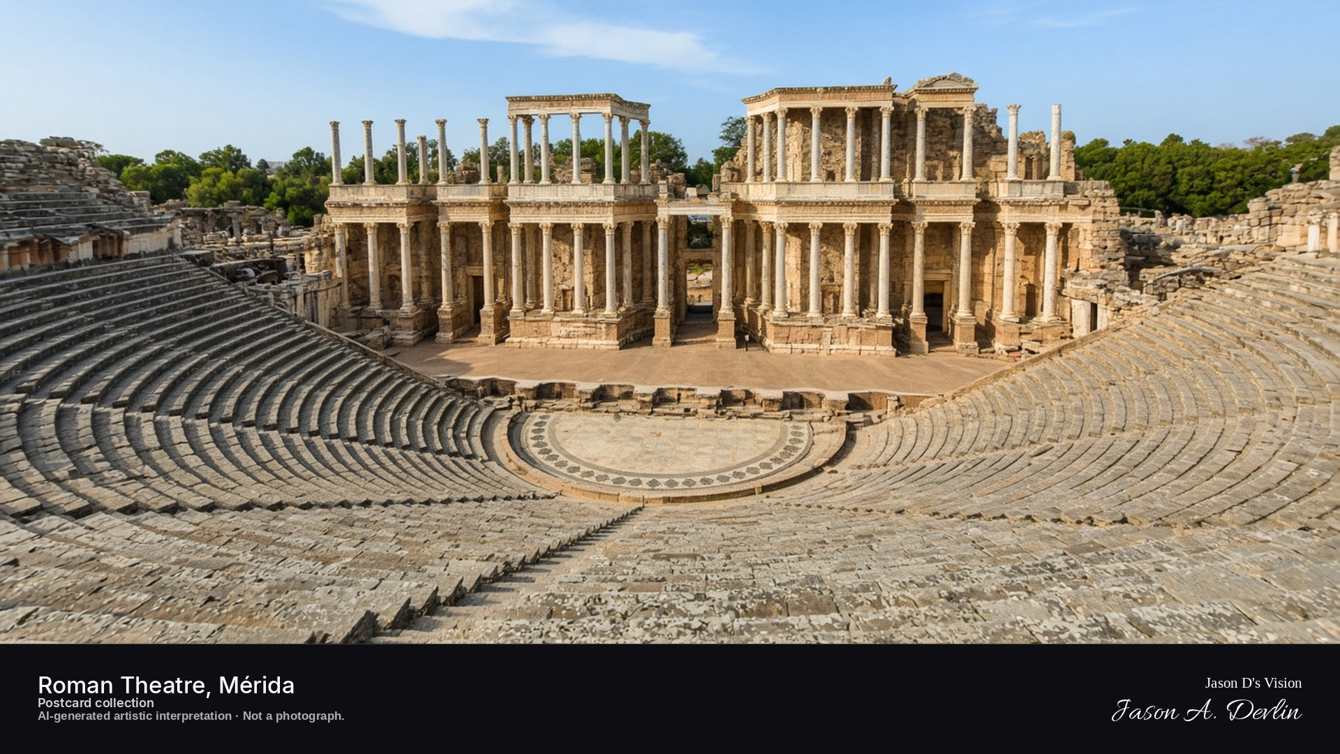
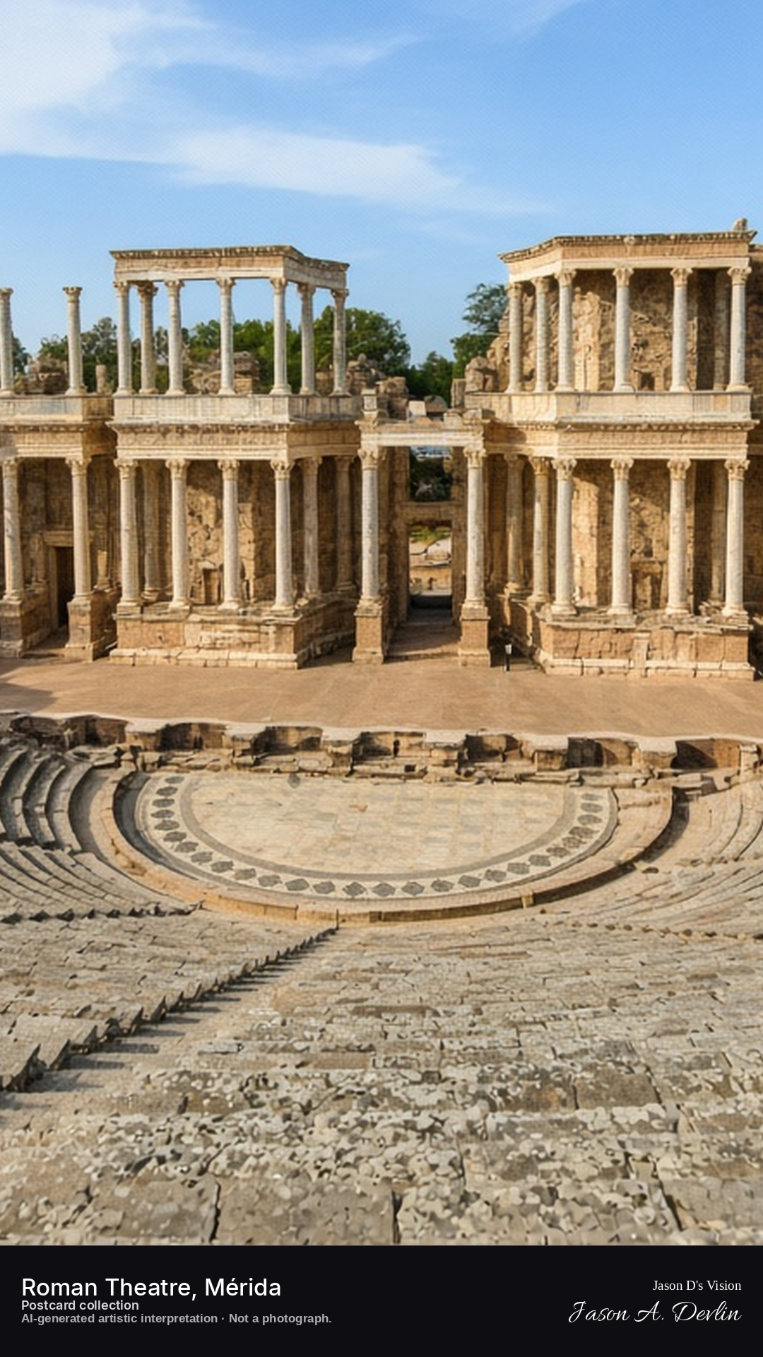
Night · Theatre from the cavea, column backdrop floodlit against the sky · AI-generated artistic interpretation
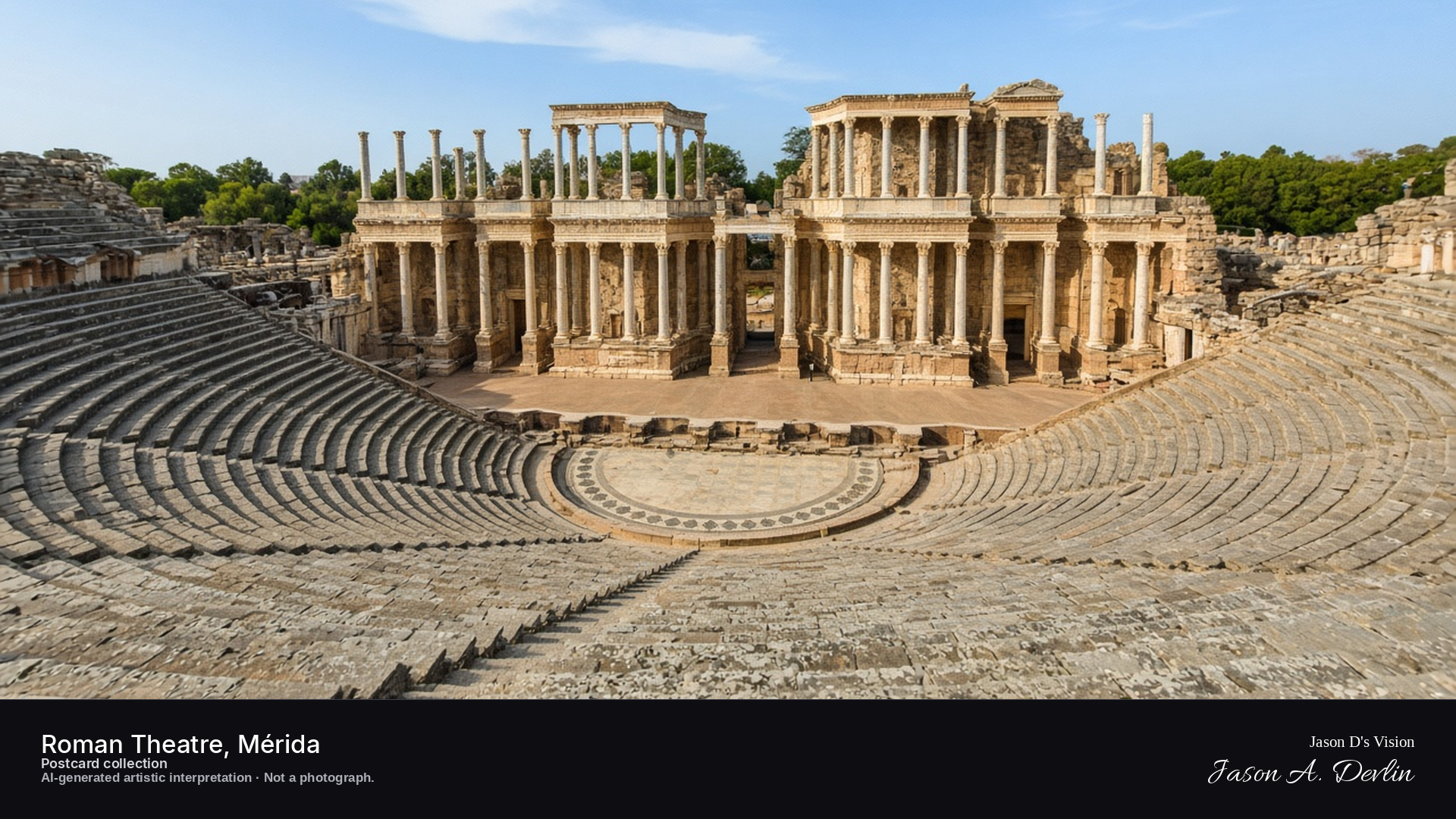
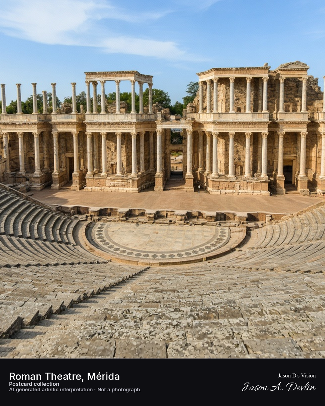
Sit in the cavea of Mérida's Roman theatre at night and look down across the semicircular rows to the stage below. The great column backdrop of the scaenae frons is floodlit, its capitals blazing against the black sky. The ancient stones glow under the lights, two thousand years of drama still present in the dark.
Postcard collection
Night
Viewpoint, conditions & editions
Upper cavea of the theatre, facing the scaenae frons (approx 38.9142N, 6.3381W)
22.7°C, weather code 0 (clear), cloud 2%, precipitation 0 mm, wind 2.2 km/h. Sunrise 08:14, sunset 20:19. Scenario minute 03:18 falls inside the 03:00 model-valid hour.
Night floodlighting is supported by festival-season sources, but the summer festival is typically over by late September — no performance is depicted and the specific lighting state is unverified. Columns and seating detail are interpretive. Camera point is a conventional cavea viewpoint, not map-verified.
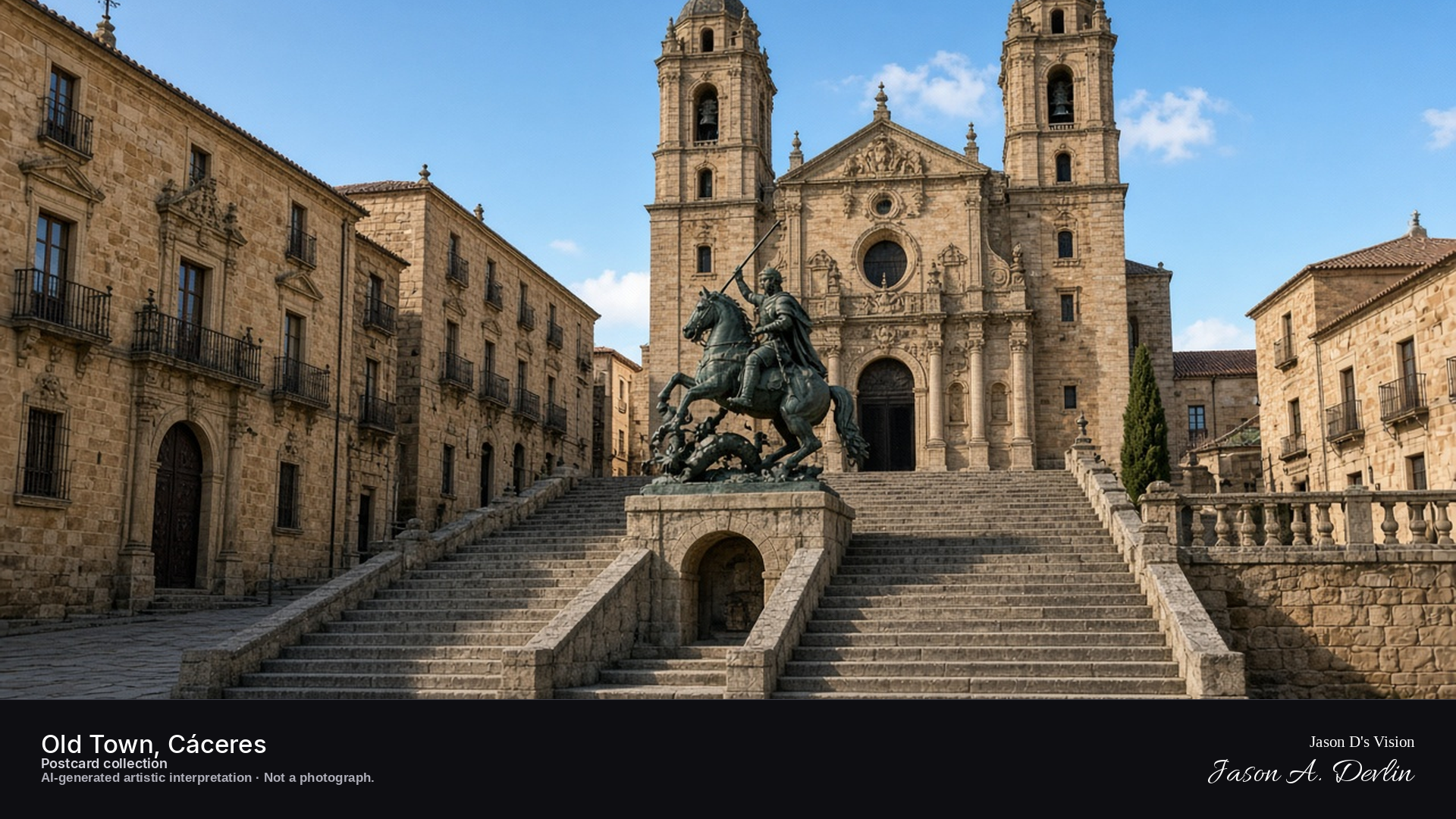
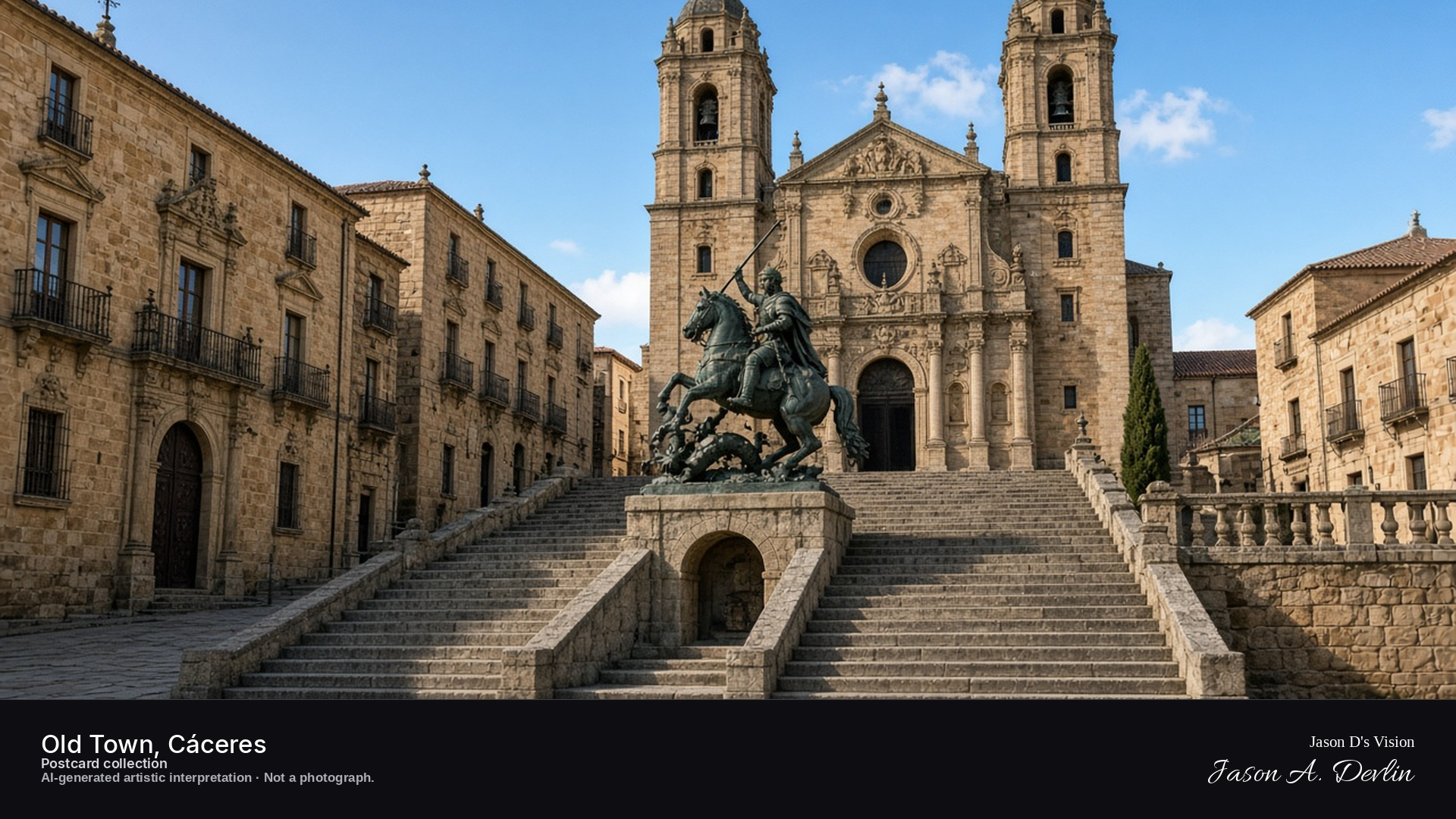
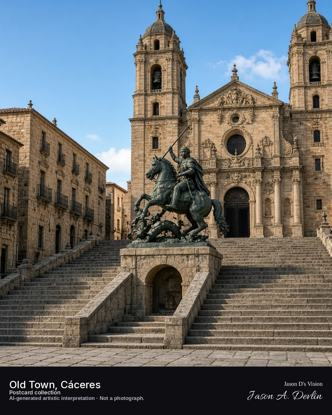
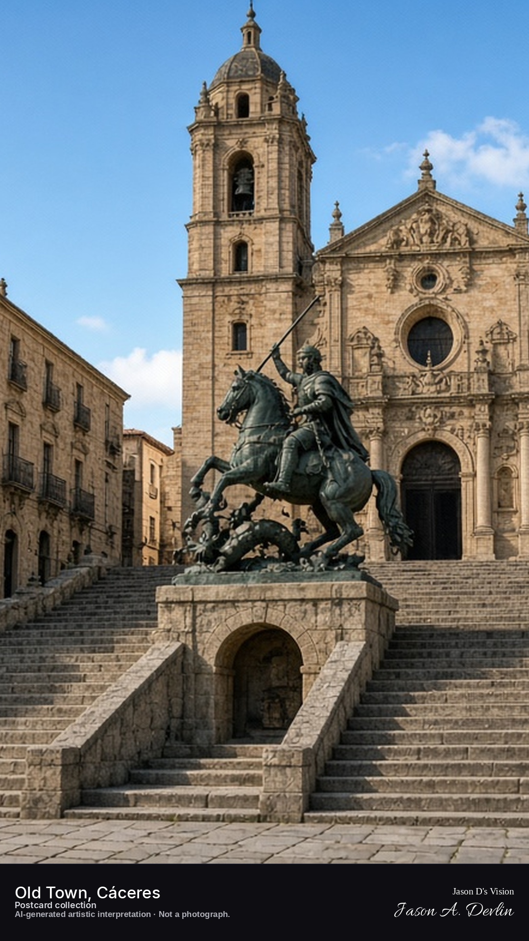
Night · San Francisco Javier above the staircase, San Jorge in the hornacina · AI-generated artistic interpretation
In Plaza de San Jorge at night, the Baroque church of San Francisco Javier closes the head of the granite staircase with its two towers. The bronze San Jorge, on horseback over the dragon, sits inside a hornacina built into the stair.
Postcard collection
Night
Viewpoint, conditions & editions
Plaza de San Jorge, facing the church of San Francisco Javier (approx 39.4736N, 6.3703W).
16.4°C, WMO 3 overcast, cloud 100%, precipitation 0.0 mm, wind 6.6 km/h. Sunrise 08:21, sunset 20:08. Night; no direct sunlight.
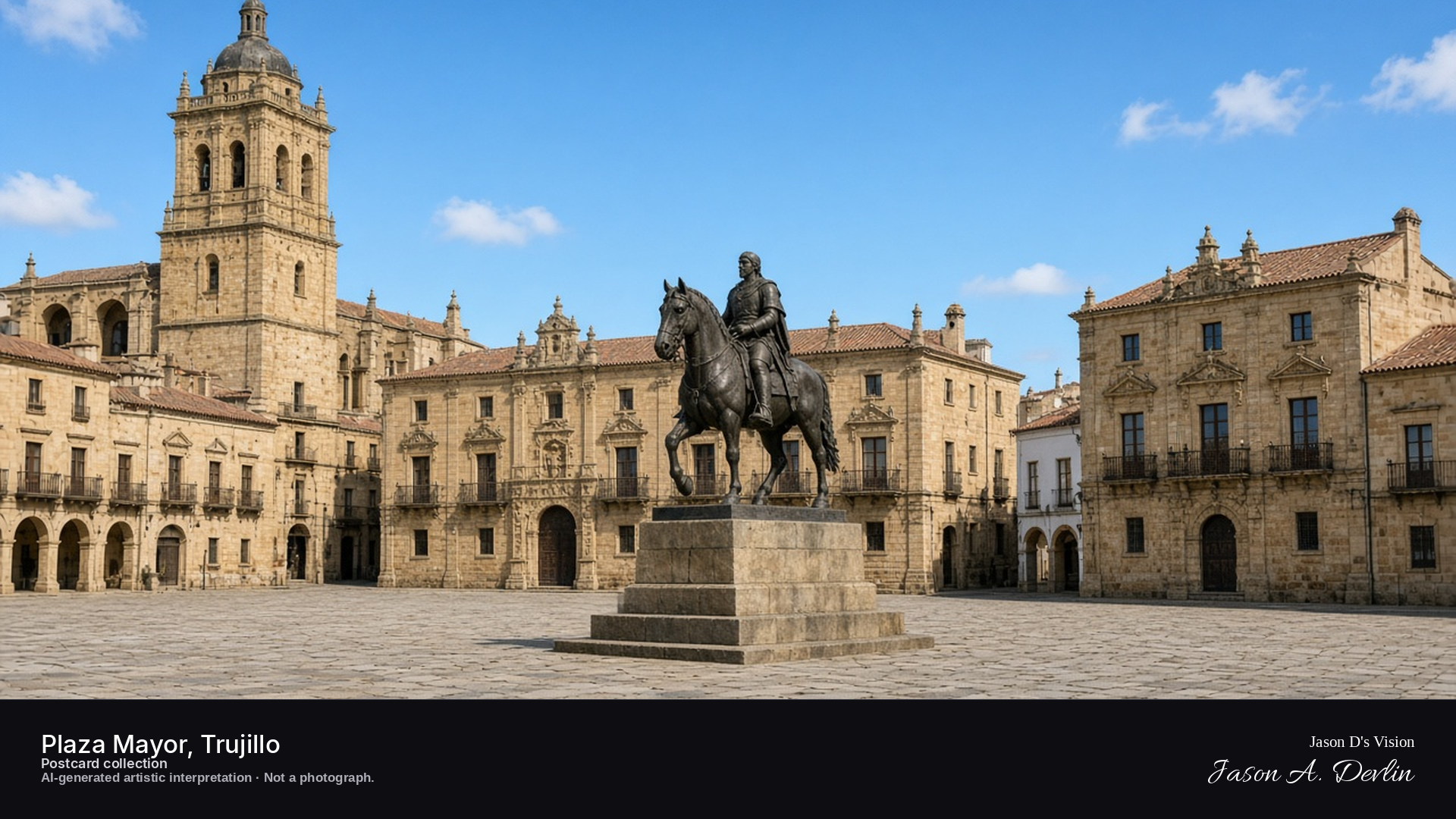
Night · Plaza from the arcades, Pizarro statue centred, illuminated palaces · AI-generated artistic interpretation
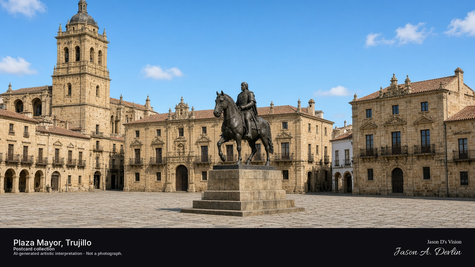
From under the arcades of Trujillo's Plaza Mayor at night, the bronze Pizarro statue stands centered in the lamplit square. Around it the great conquistador palaces glow, their carved stone fronts lit against the dark. The plaza's broad expanse lies empty and still, the statue watching over his birthplace town.
Postcard collection
Night
Viewpoint, conditions & editions
Plaza Mayor arcades, facing the Pizarro statue (approx 39.4589N, 5.8783W)
21.4°C, weather code 0 (clear), cloud 3%, precipitation 0 mm, wind 5.8 km/h. Sunrise 08:12, sunset 20:17. Scenario minute 03:34 falls inside the 03:00 model-valid hour.
Night lighting of the square is supported by traveller reports, but is not verified for this specific hour. Statue and palace detail are interpretive. Camera point is a conventional plaza viewpoint, not map-verified.
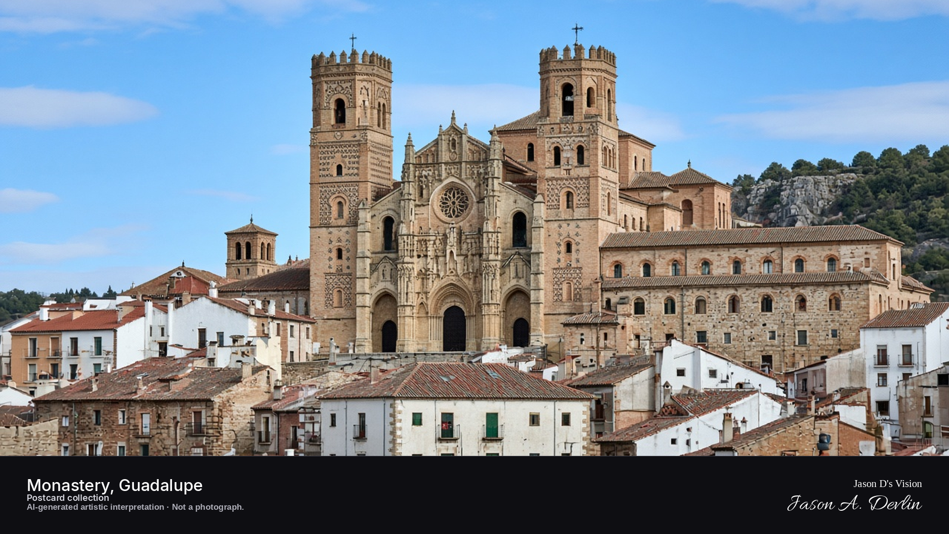
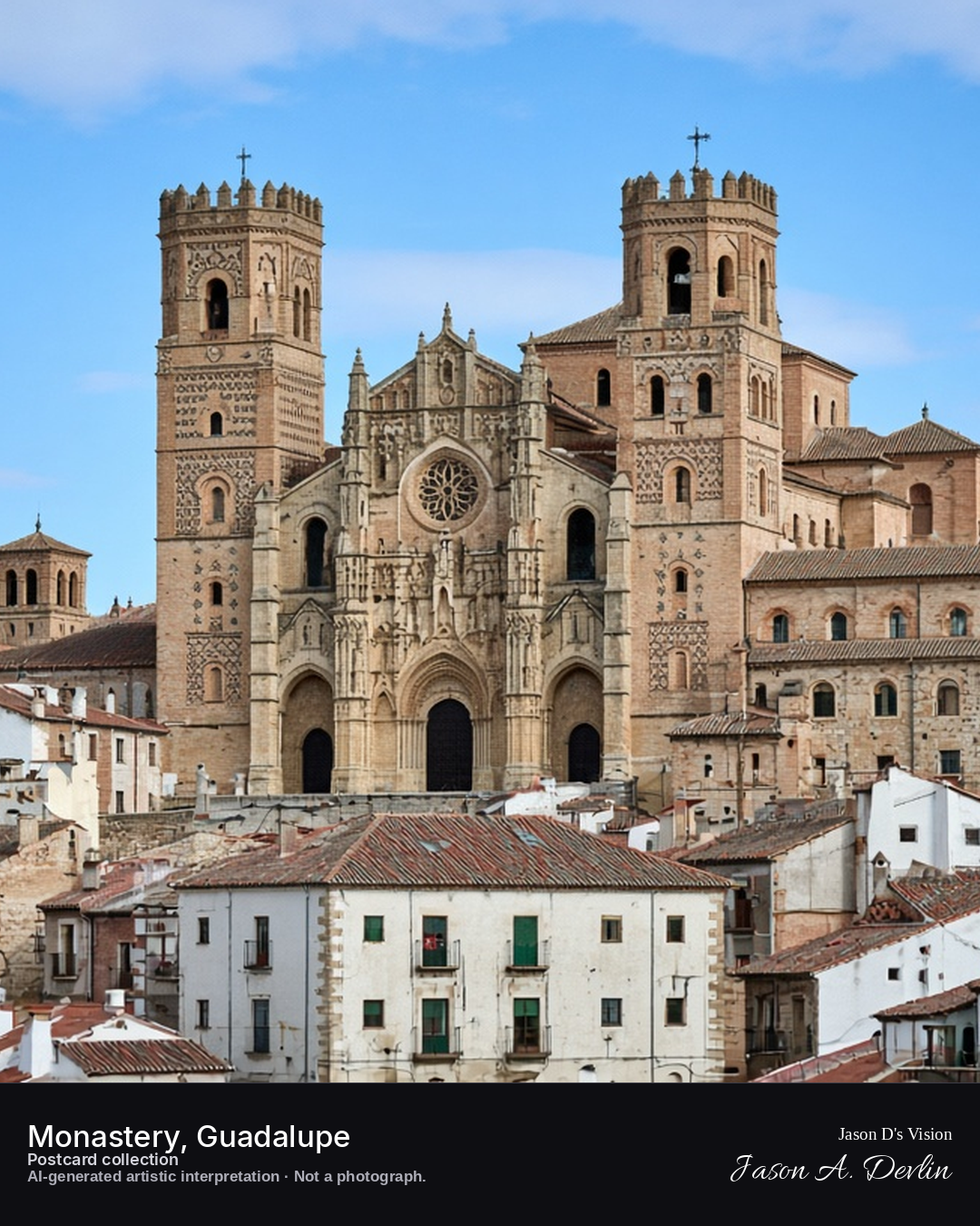
Night · Monastery from the town, moonlit façade under a starry sky · AI-generated artistic interpretation
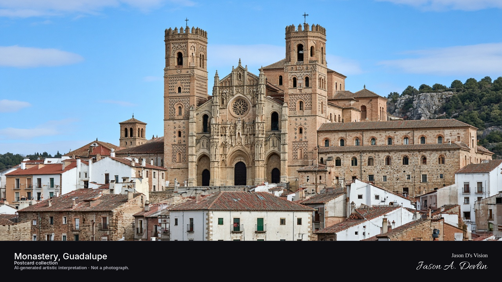
From the town below at night, the great monastery of Guadalupe shows its moonlit façade beneath a starry sky. The Mudejar brickwork and towers catch the moon's silver light while the streets around it sleep. Few lights burn in the town; the monastery dominates the night, serene and massive.
Postcard collection
Night
Viewpoint, conditions & editions
Town below the monastery, facing the Mudéjar façade (approx 39.4544N, 5.3267W)
21.6°C, weather code 1 (mainly clear), cloud 6%, precipitation 0 mm, wind 8.9 km/h. Sunrise 08:10, sunset 20:15. Scenario minute 03:42 falls inside the 03:00 model-valid hour.
No night floodlighting is claimed — none is documented for this site, so the scene shows only moonlight and scattered lit windows; unverified for this specific hour. Façade and tower detail are interpretive. Camera point in the town below is a conventional viewpoint, not map-verified.
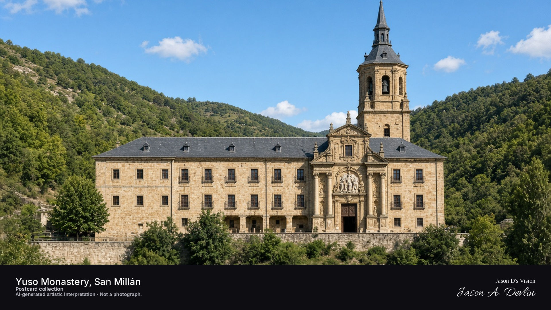
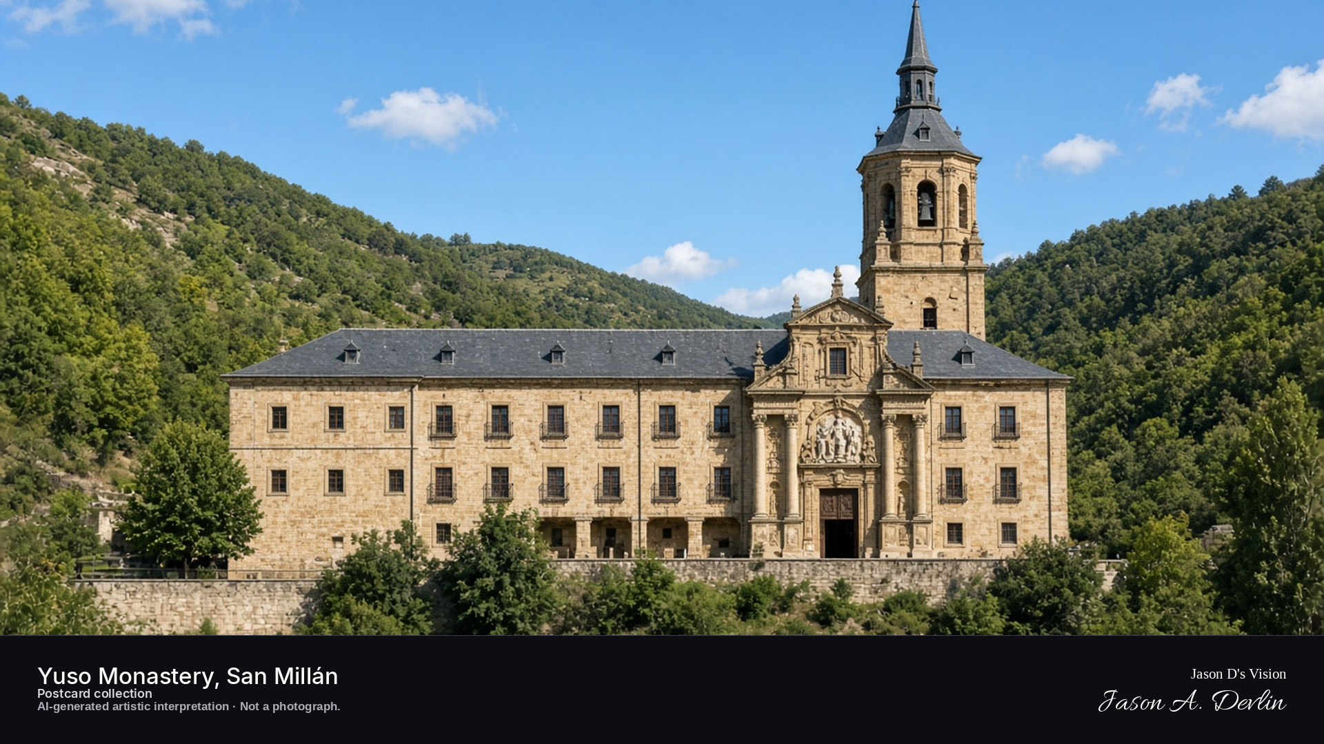
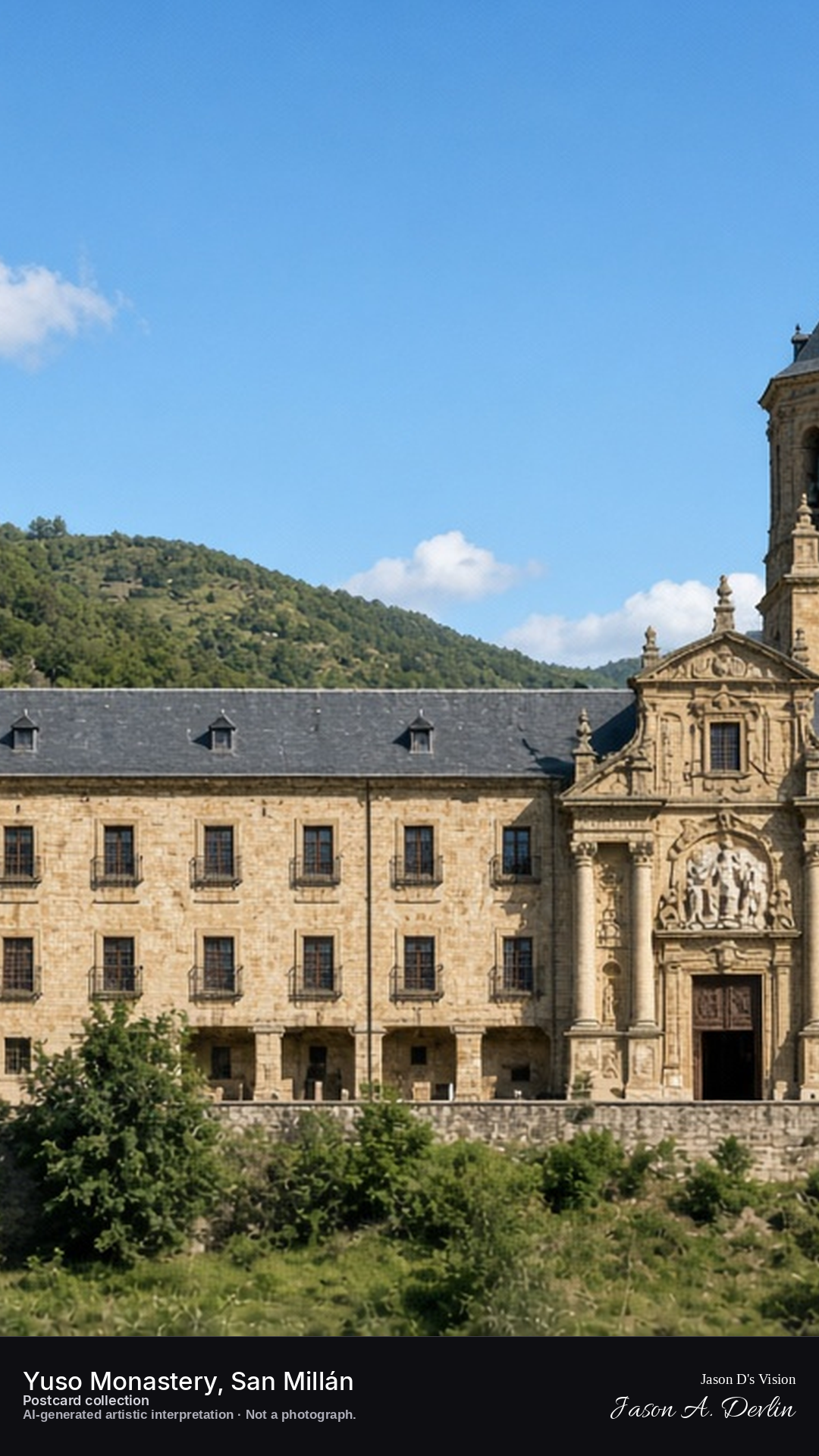
Night · Yuso from the valley, one slate-spired tower and the Baroque portal · AI-generated artistic interpretation
From the valley at night, Yuso reads as a long stone range with one tower: square lower stages, an octagonal belfry, and a pointed slate chapitel. The entrance is the 17th-century Baroque portal, with Corinthian columns and the relief of San Millán.
Postcard collection
Night
Viewpoint, conditions & editions
Valley approach to the monastery (approx 42.3258N, 2.8650W).
13.8°C, WMO 3 overcast, cloud 100%, precipitation 0.0 mm, wind 2.5 km/h. Sunrise 08:08, sunset 19:53. Night; no direct sunlight.
Dimensions do not imply native detail.
Spain / Basque Country (Rioja Alavesa) / Laguardia
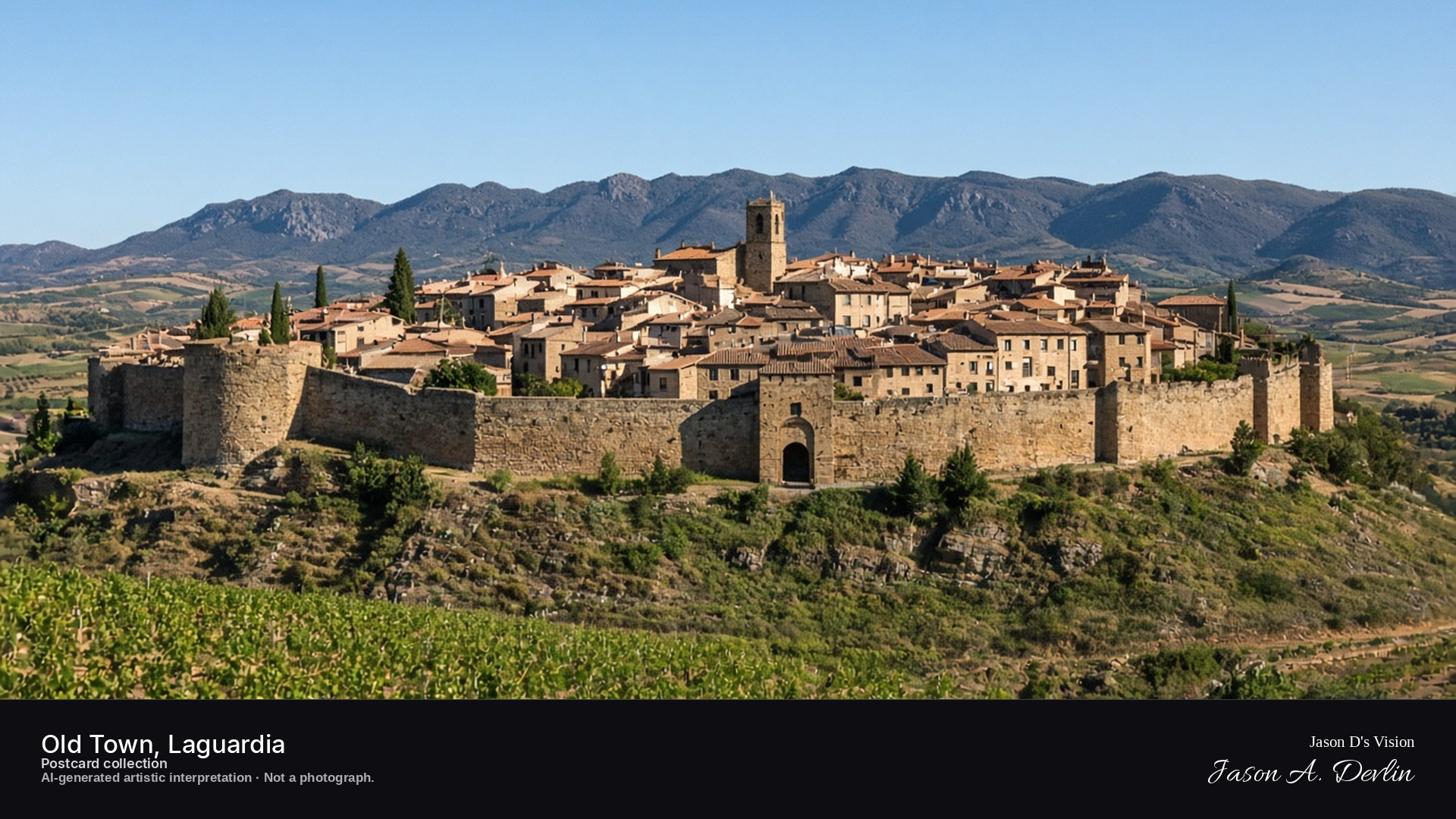
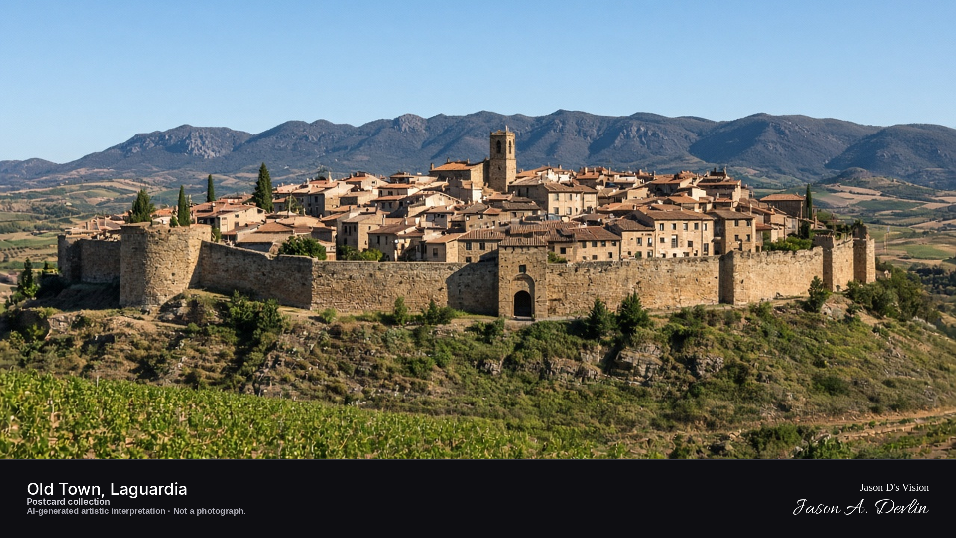
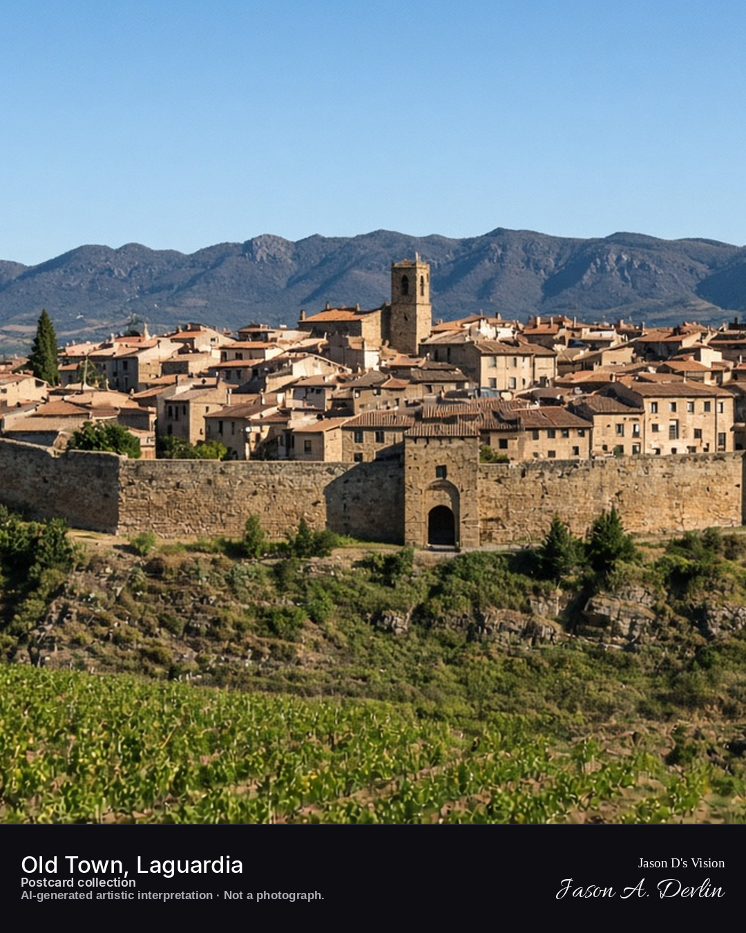
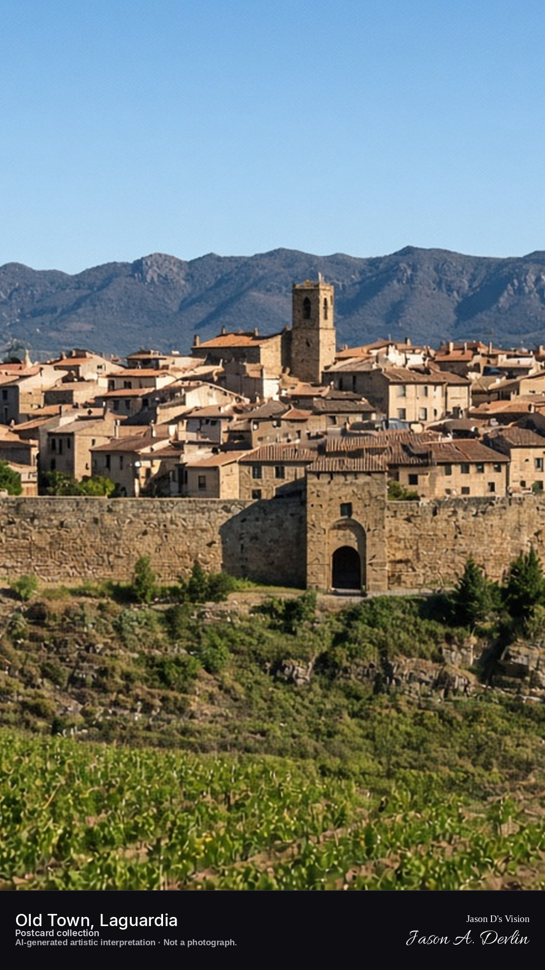
Night · Walled hilltop town from the Paseo del Collado, moonlit walls under a starry sky · AI-generated artistic interpretation
From the Paseo del Collado at night, the walled hilltop town of Laguardia glows faintly in moonlight beneath a starry sky. The medieval walls trace the ridge, rooftops clustered dark within, and the Rioja Alavesa vineyards lie black and silent below. The town keeps its watch over the sleeping vineyards.
Postcard collection
Night
Viewpoint, conditions & editions
Paseo del Collado below the town, facing the walls (approx 42.5533N, 2.5850W)
14.4°C, weather code 0 (clear), cloud 0%, precipitation 0 mm, wind 3.6 km/h. Sunrise 07:59, sunset 20:04. Scenario minute 03:58 falls inside the 03:00 model-valid hour.
No night floodlighting is claimed — none is documented for this site, so the scene shows only moonlight and scattered lit windows; unverified for this specific hour. Walls, gates and street detail are interpretive. Camera point on the Paseo del Collado is a conventional viewpoint, not map-verified.
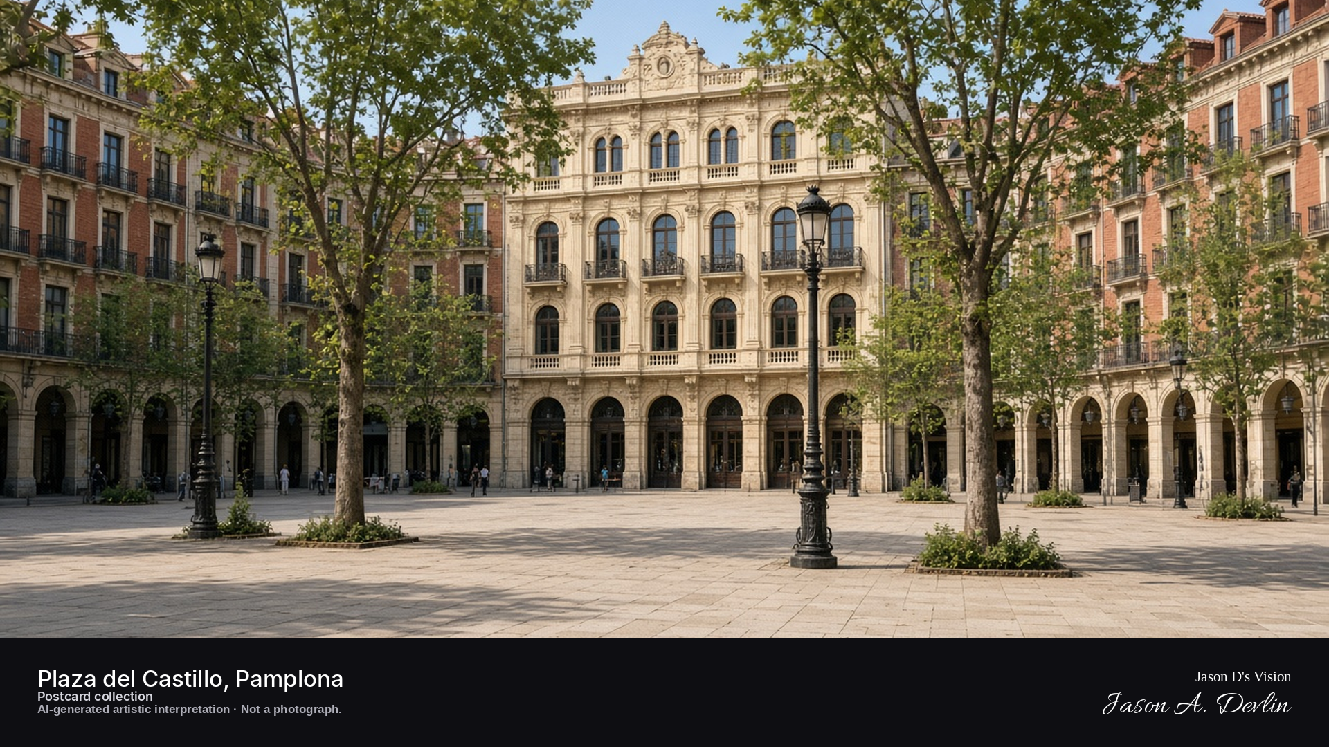
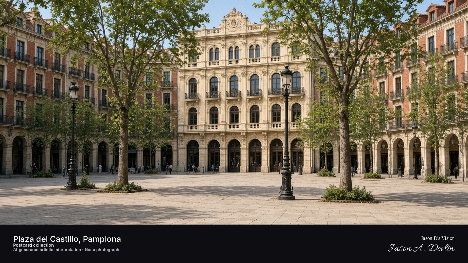
Night · Square from its centre, arcaded façades and lamps under a starry sky · AI-generated artistic interpretation
From the center of Pamplona's Plaza del Castillo at night, the arcaded façades ring the square in lamplight under a starry sky. Old cafés and balconies glow warm around the edges while the open plaza stretches quiet and empty. The lamps cast their cones of light on the paving, the famous square at rest between festivals.
Postcard collection
Night
Viewpoint, conditions & editions
Plaza del Castillo, facing Café Iruña (approx 42.8181N, 1.6447W)
16.7°C, weather code 0 (clear), cloud 0%, precipitation 0 mm, wind 0.8 km/h. Sunrise 07:55, sunset 20:00. Scenario minute 04:06 falls inside the 04:00 model-valid hour.
Night lighting of the square is supported by traveller reports, but is not verified for this specific hour. Building and café detail are interpretive. Camera point is a conventional plaza viewpoint, not map-verified.
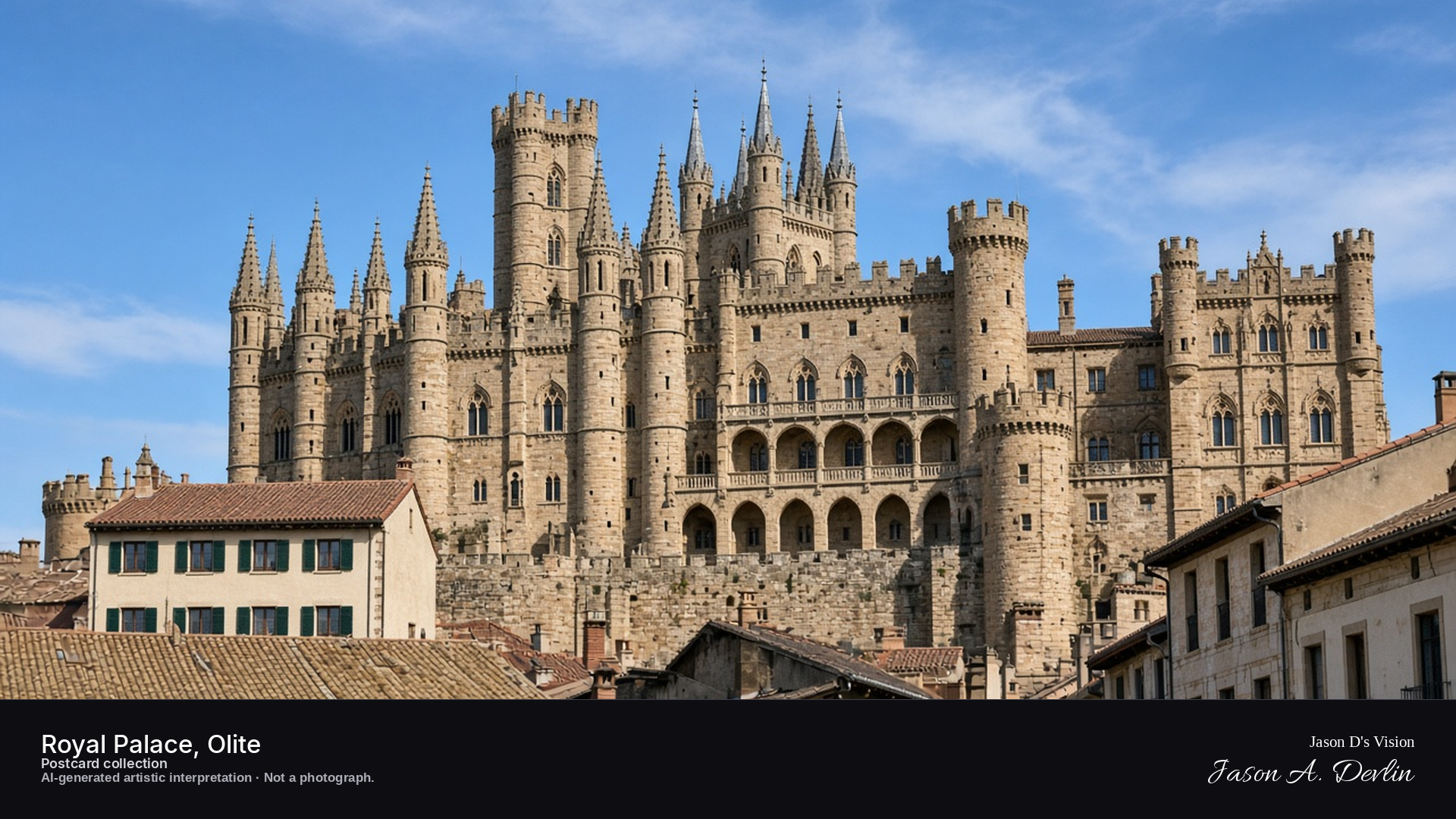
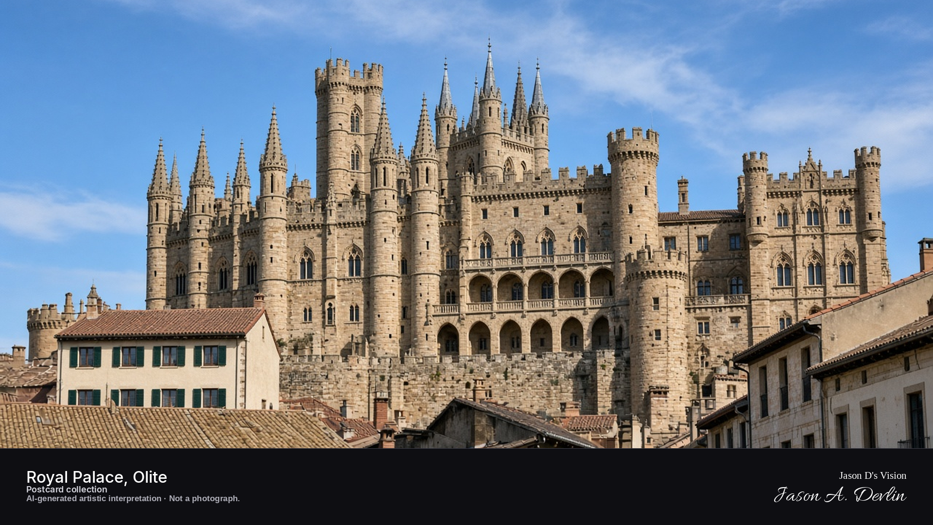
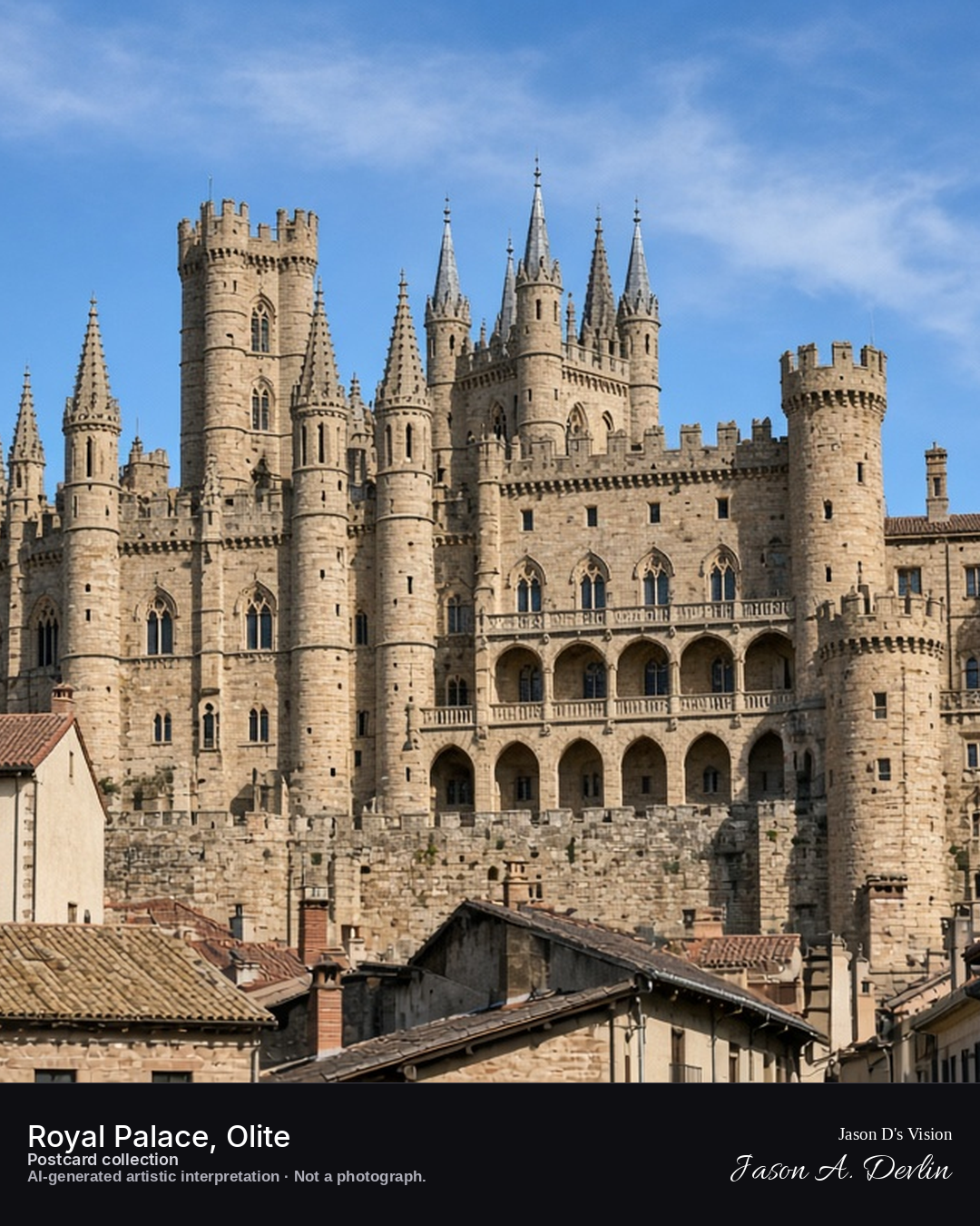
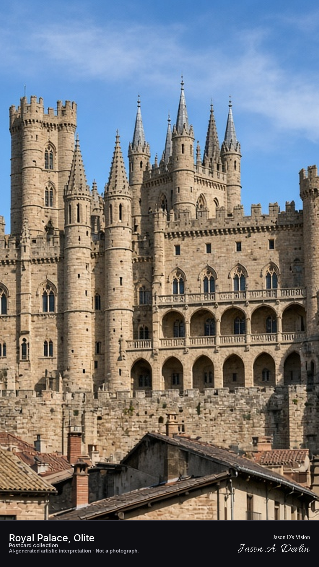
Night · Palace from the town, dark silhouette under moonlight and stars · AI-generated artistic interpretation
From the town streets at night, the Royal Palace of Olite rises in dark silhouette under moonlight and stars. Its fairy-tale towers and pinnacles cut intricate black shapes against the sky. The medieval palace keeps its secrets in the dark, moonlight edging the rooftops while the town below sleeps.
Postcard collection
Night
Viewpoint, conditions & editions
Town centre below the palace, facing the towers (approx 42.4816N, 1.6474W)
16.3°C, weather code 1 (mainly clear), cloud 39%, precipitation 0 mm, wind 1.6 km/h. Sunrise 07:55, sunset 20:00. Scenario minute 04:14 falls inside the 04:00 model-valid hour.
The palace is not floodlit at night per traveller reports; the scene shows only moonlight and scattered lit windows — unverified for this specific hour. Tower and silhouette detail are interpretive. Camera point in the town is a conventional viewpoint, not map-verified.
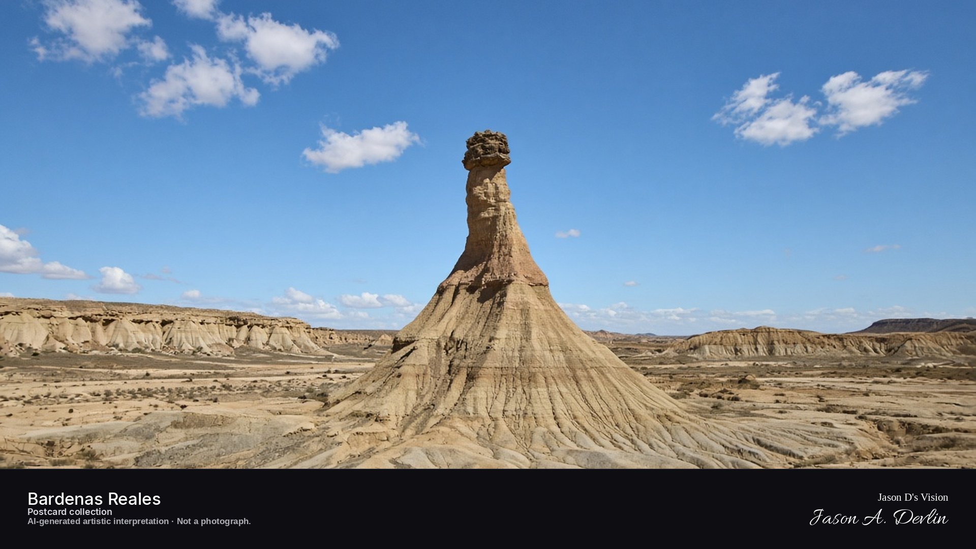
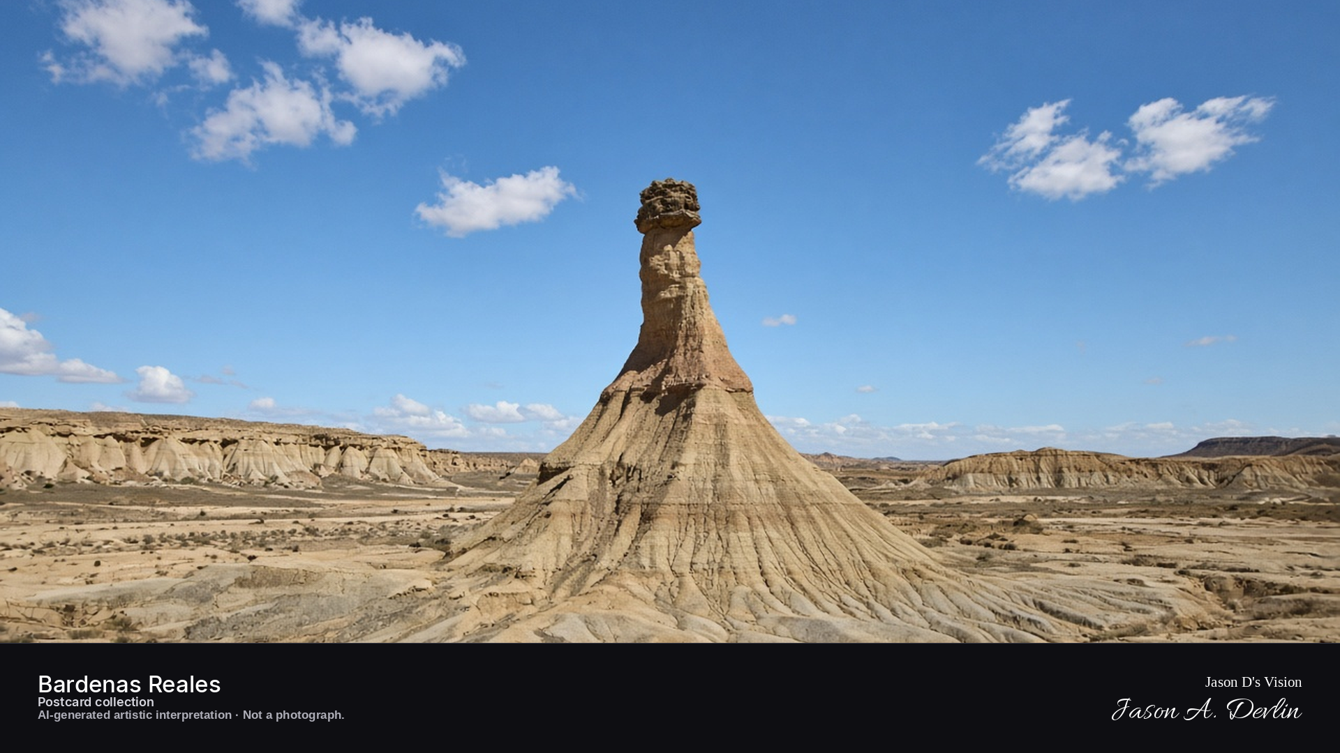
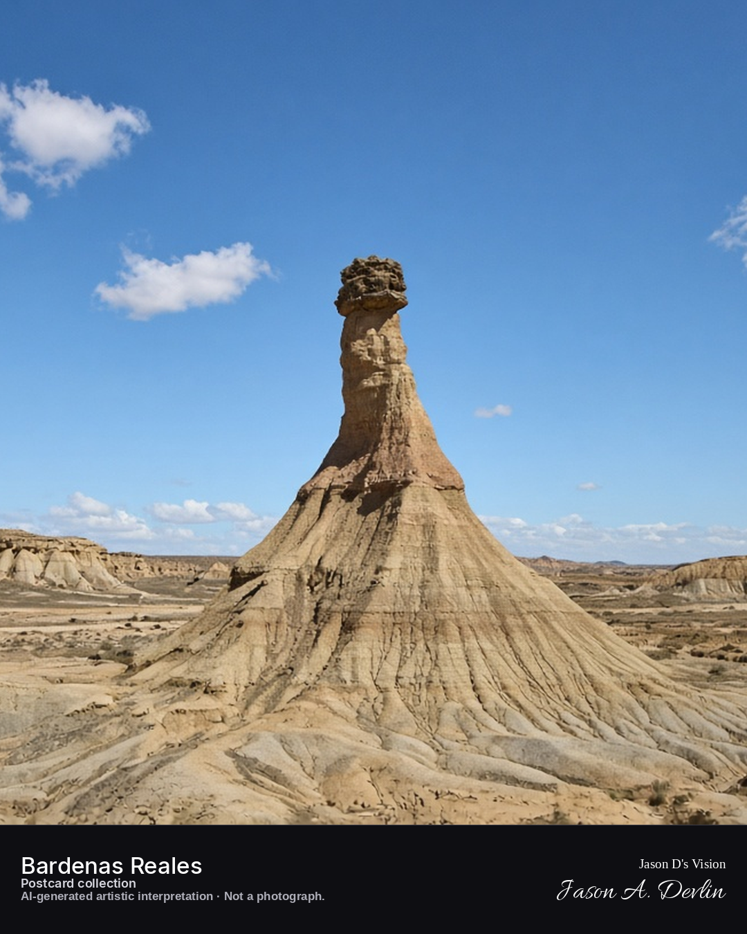
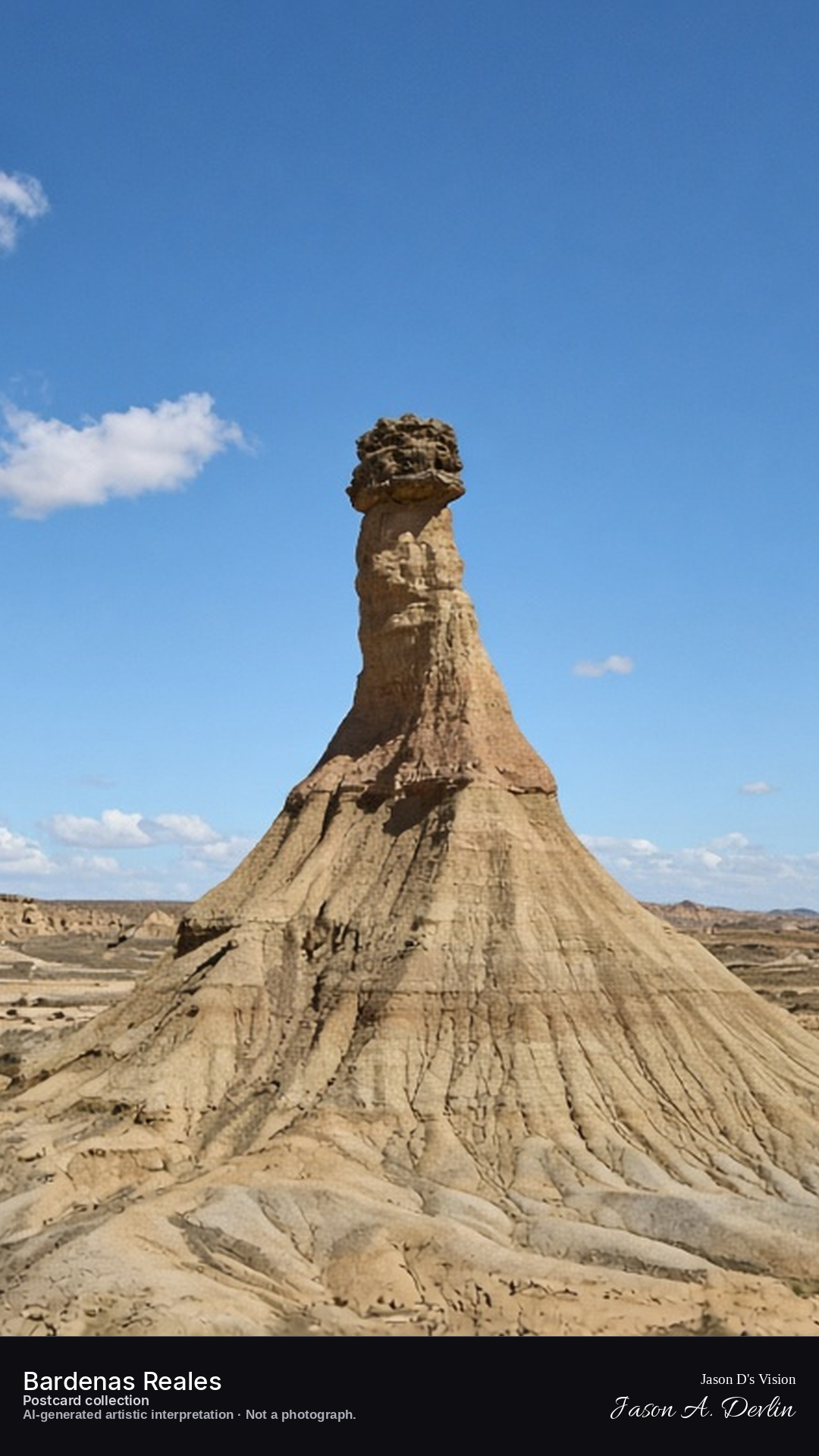
Night · Desert from the Castildetierra viewpoint, rock chimney under a starry Milky Way · AI-generated artistic interpretation
From the Castildetierra viewpoint at night, the famous rock chimney of the Bardenas stands stark under a starry Milky Way. The eroded pillar rises from the desert floor, its layered silhouette etched against the crowded stars. No lights break the darkness — only the Milky Way arching over the badlands.
18.2°C, weather code 0 (clear), cloud 0%, precipitation 0 mm, wind 4.8 km/h. Sunrise 07:55, sunset 20:00. Scenario minute 04:24 falls inside the 04:00 model-valid hour.
Natural night treatment — no artificial lighting exists in this landscape. Rock detail is interpretive. Camera point on the Blanca Baja loop is a conventional viewpoint, not map-verified.
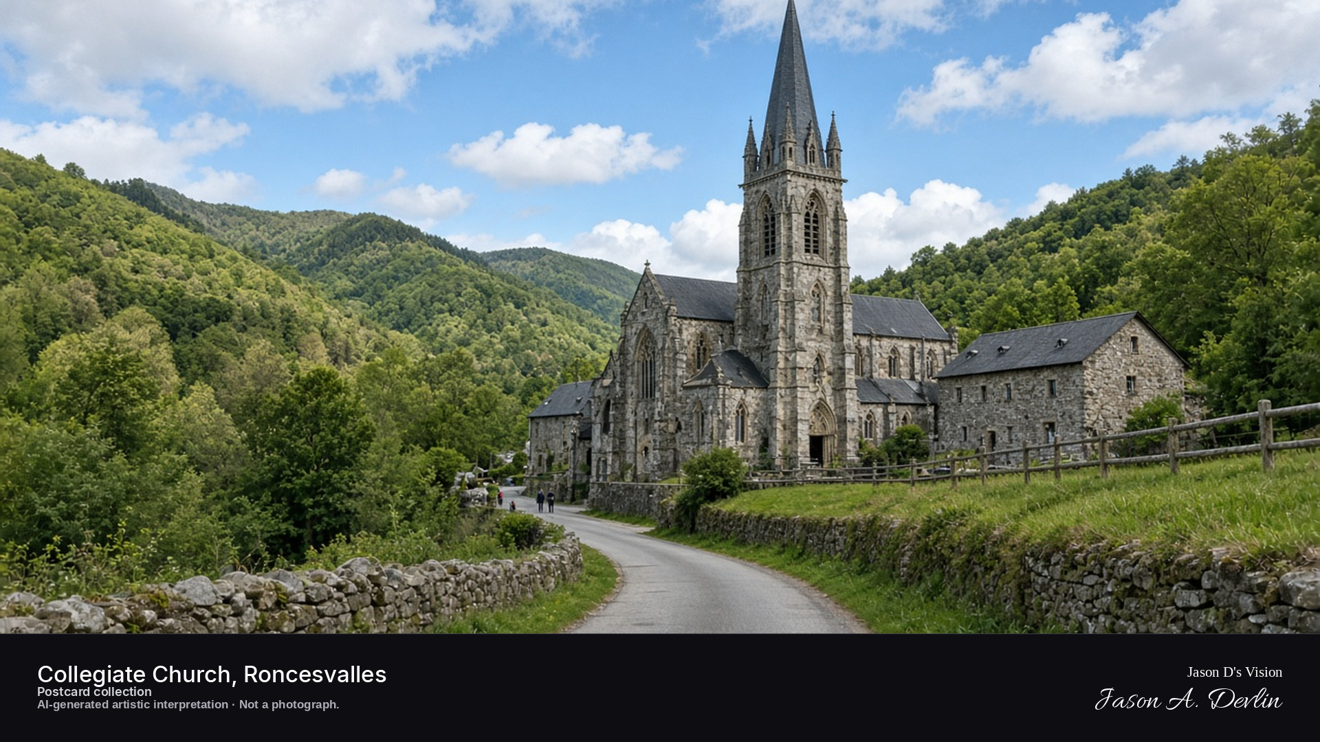
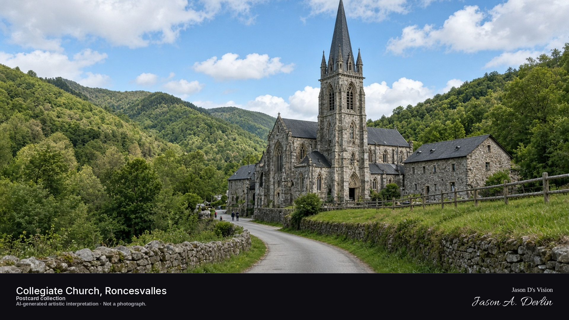
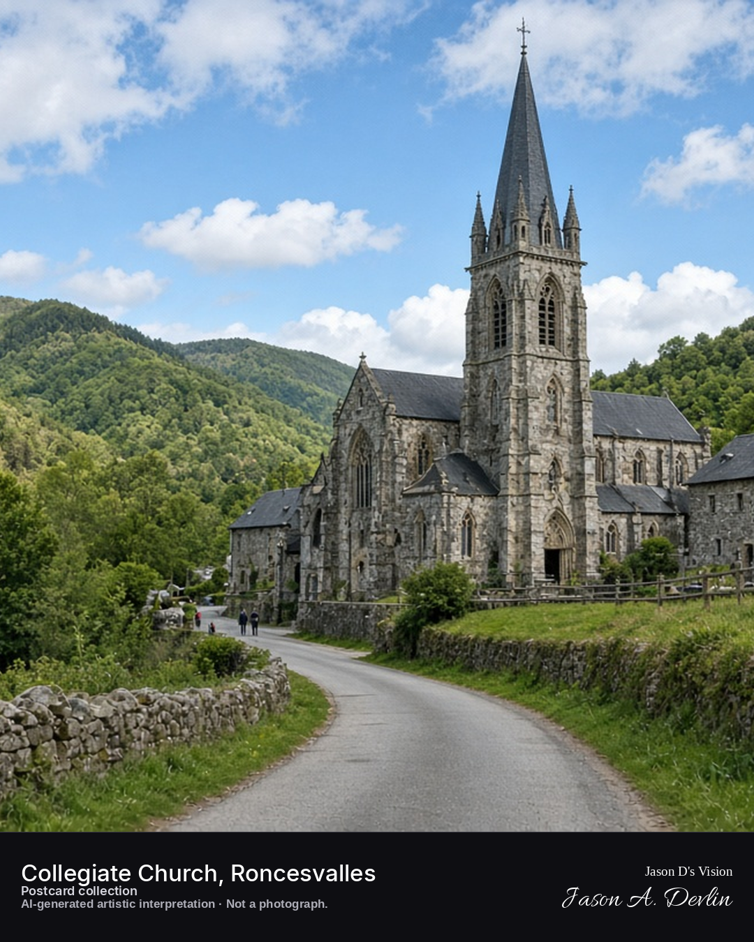
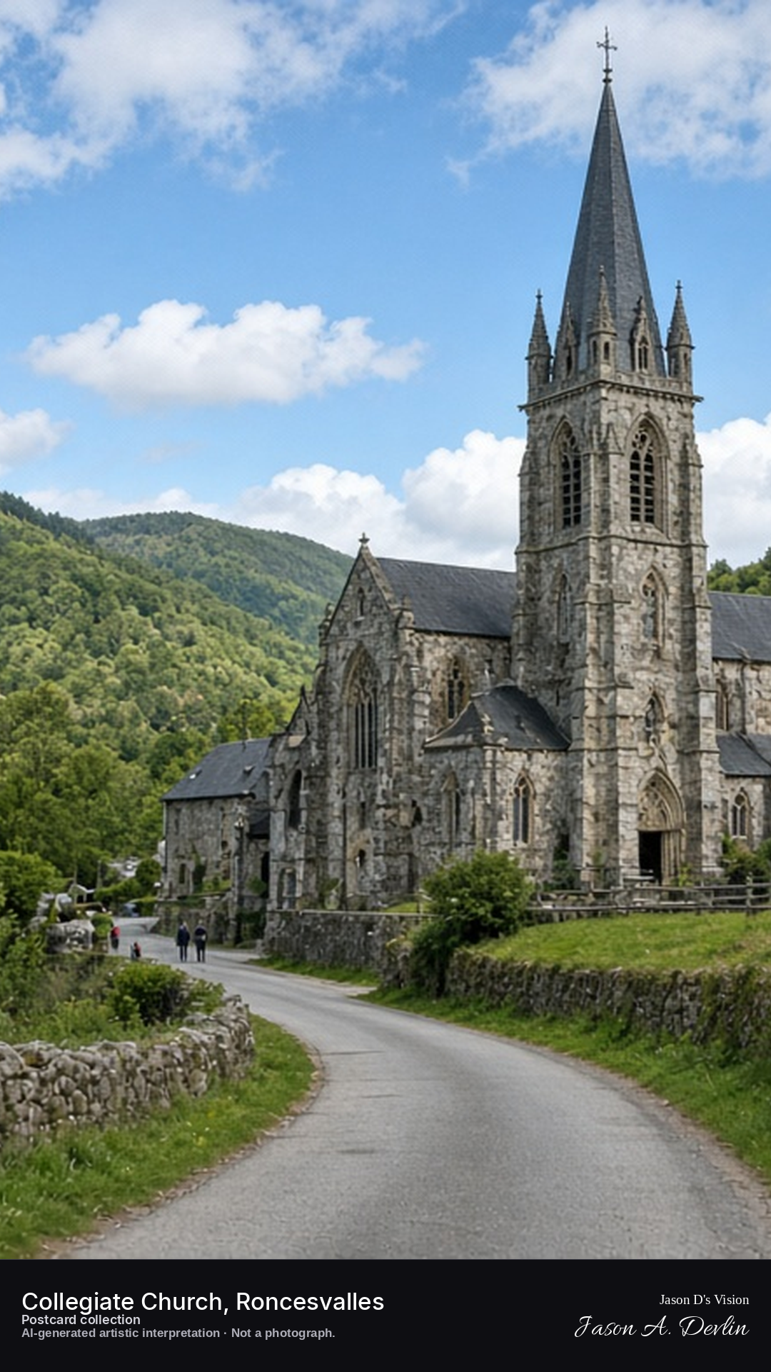
Night · Church from the pilgrim approach, dark silhouette under moonlight and stars · AI-generated artistic interpretation
On the pilgrim approach to Roncesvalles at night, the collegiate church stands in dark silhouette under moonlight and stars. Its Gothic mass blocks the sky where the Camino passes, quiet after the day's pilgrims. The mountain night closes around it, the church waiting for the first walkers of dawn.
Postcard collection
Night
Viewpoint, conditions & editions
Pilgrim approach from the pass road (approx 43.0096N, 1.3179W)
16.7°C, weather code 3 (overcast), cloud 97%, precipitation 0 mm, wind 5.8 km/h. Sunrise 07:54, sunset 19:59. Scenario minute 04:32 falls inside the 04:00 model-valid hour.
No night floodlighting is claimed — none is documented for this site, so the scene shows only moonlight and scattered lit windows; unverified for this specific hour. Church and forest detail are interpretive. Camera point on the pilgrim approach is a conventional viewpoint, not map-verified.
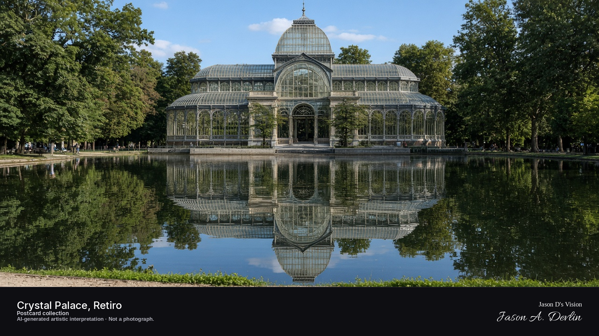
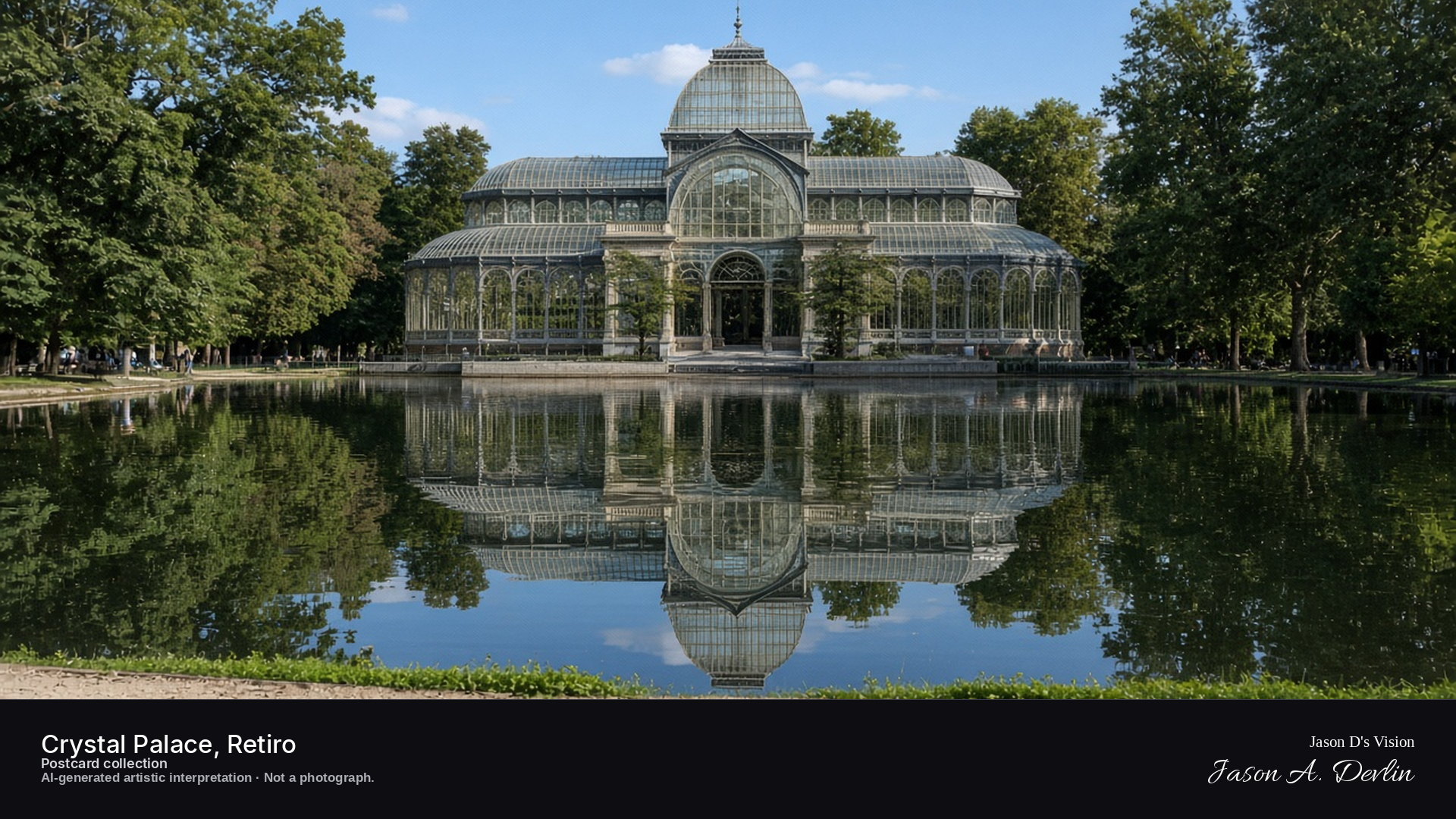
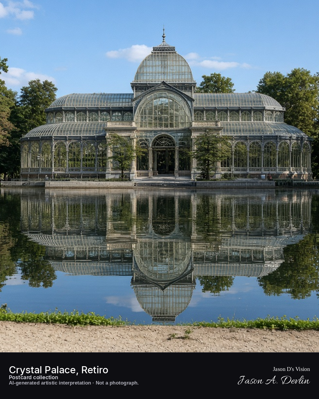
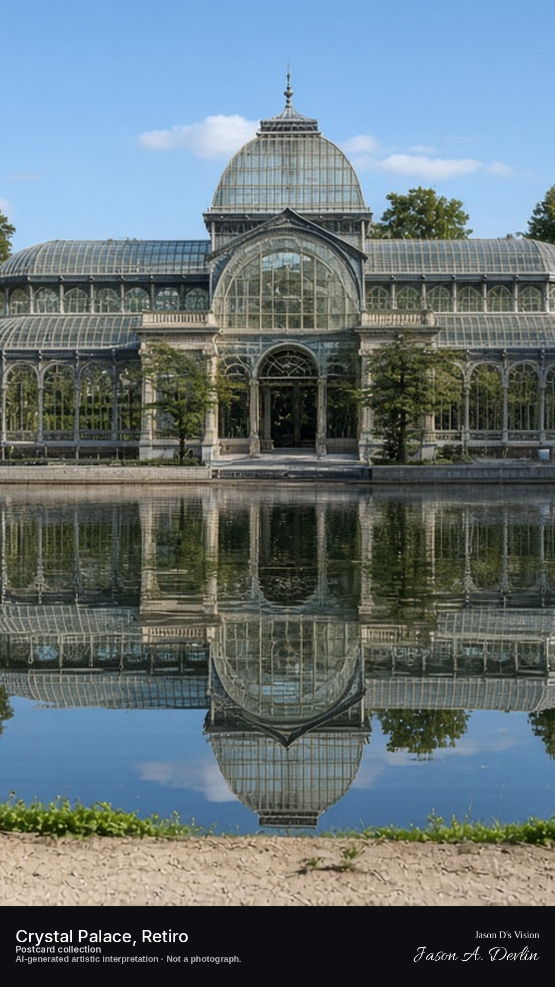
Night · Palace from the lake, glowing glass dome reflected in the water · AI-generated artistic interpretation
From the far side of the Retiro lake at night, the Crystal Palace glows — its glass dome and iron ribs lit from within. The whole luminous structure mirrors perfectly in the still black water. The park is dark and silent around it, the palace floating like a lantern on the lake.
Postcard collection
Night
Viewpoint, conditions & editions
Small lake before the palace, facing the dome (approx 40.4135N, 3.6821W)
20.2°C, weather code 0 (clear), cloud 6%, precipitation 0 mm, wind 5 km/h. Sunrise 08:04, sunset 20:08. Scenario minute 04:40 falls inside the 04:00 model-valid hour.
Night illumination of the palace is supported by photographic records, but is not verified for this specific hour. Glass and reflection detail are interpretive. Camera point at the lake is a conventional viewpoint, not map-verified.
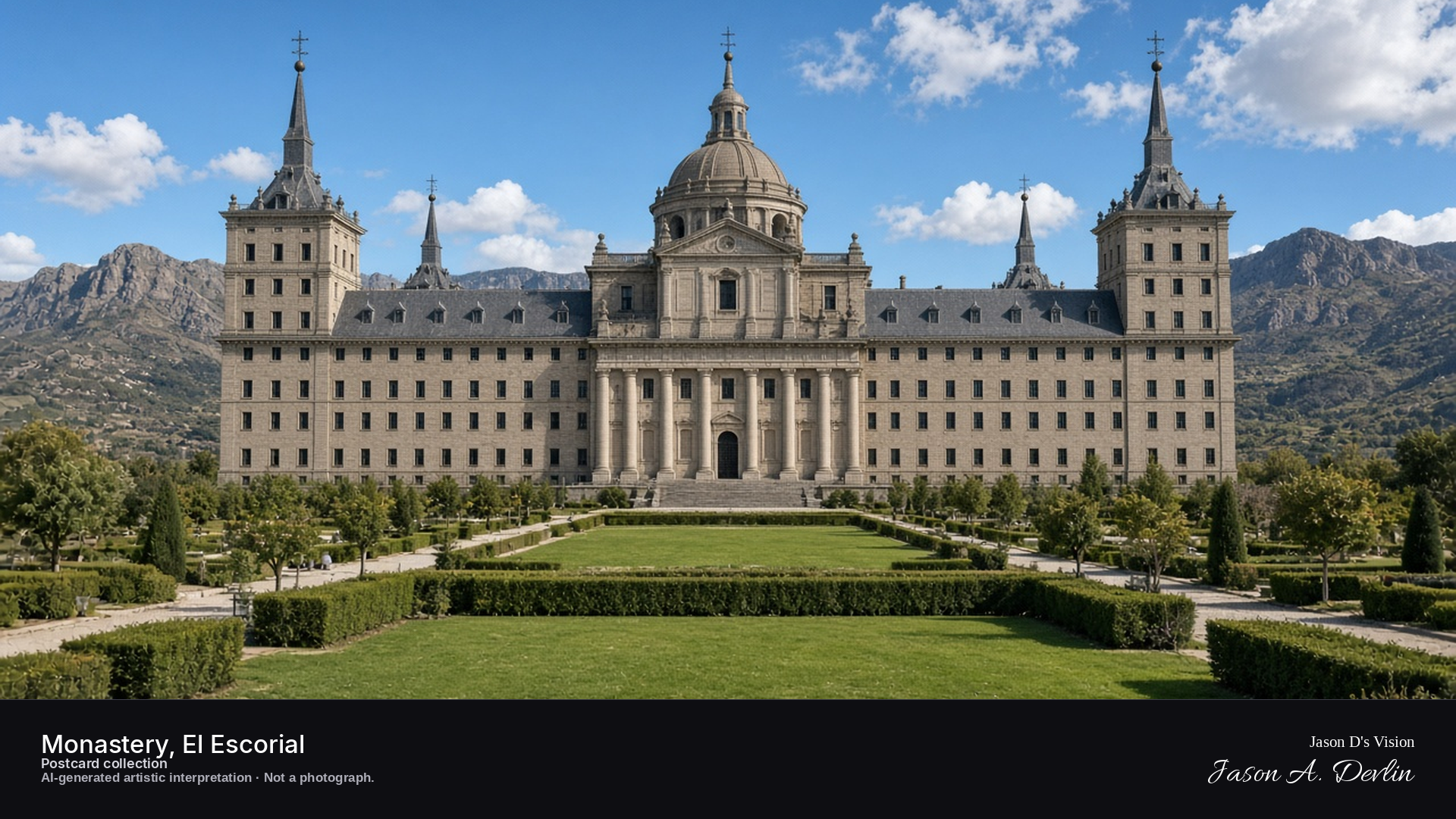
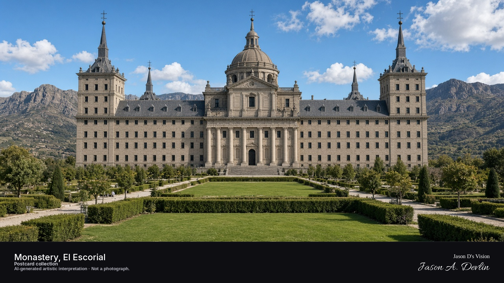
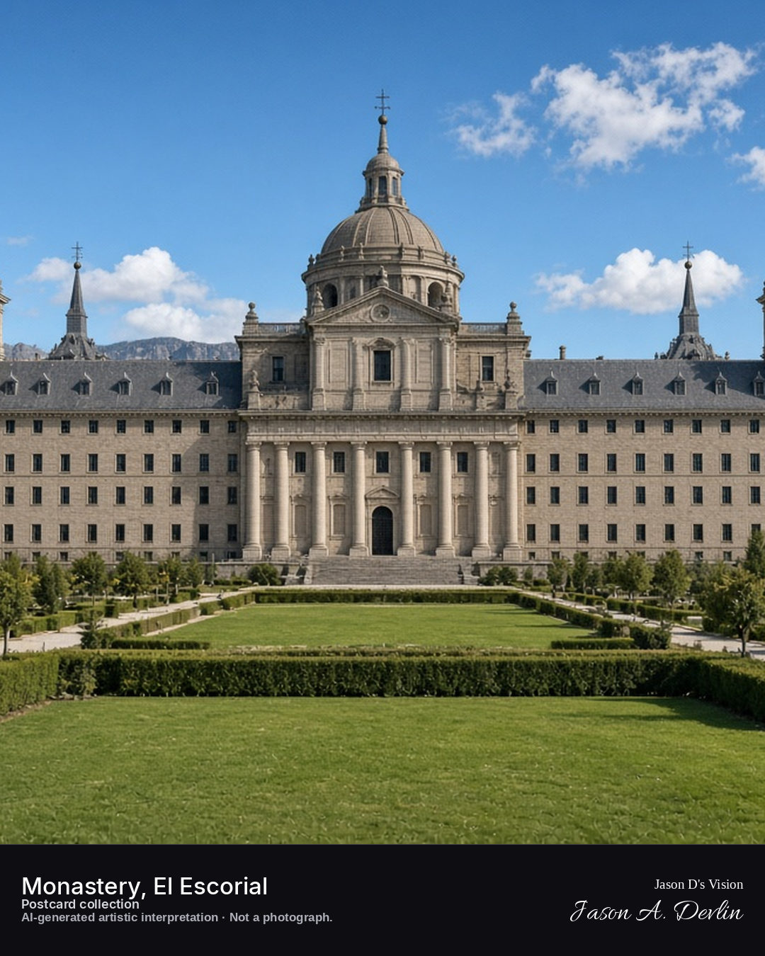
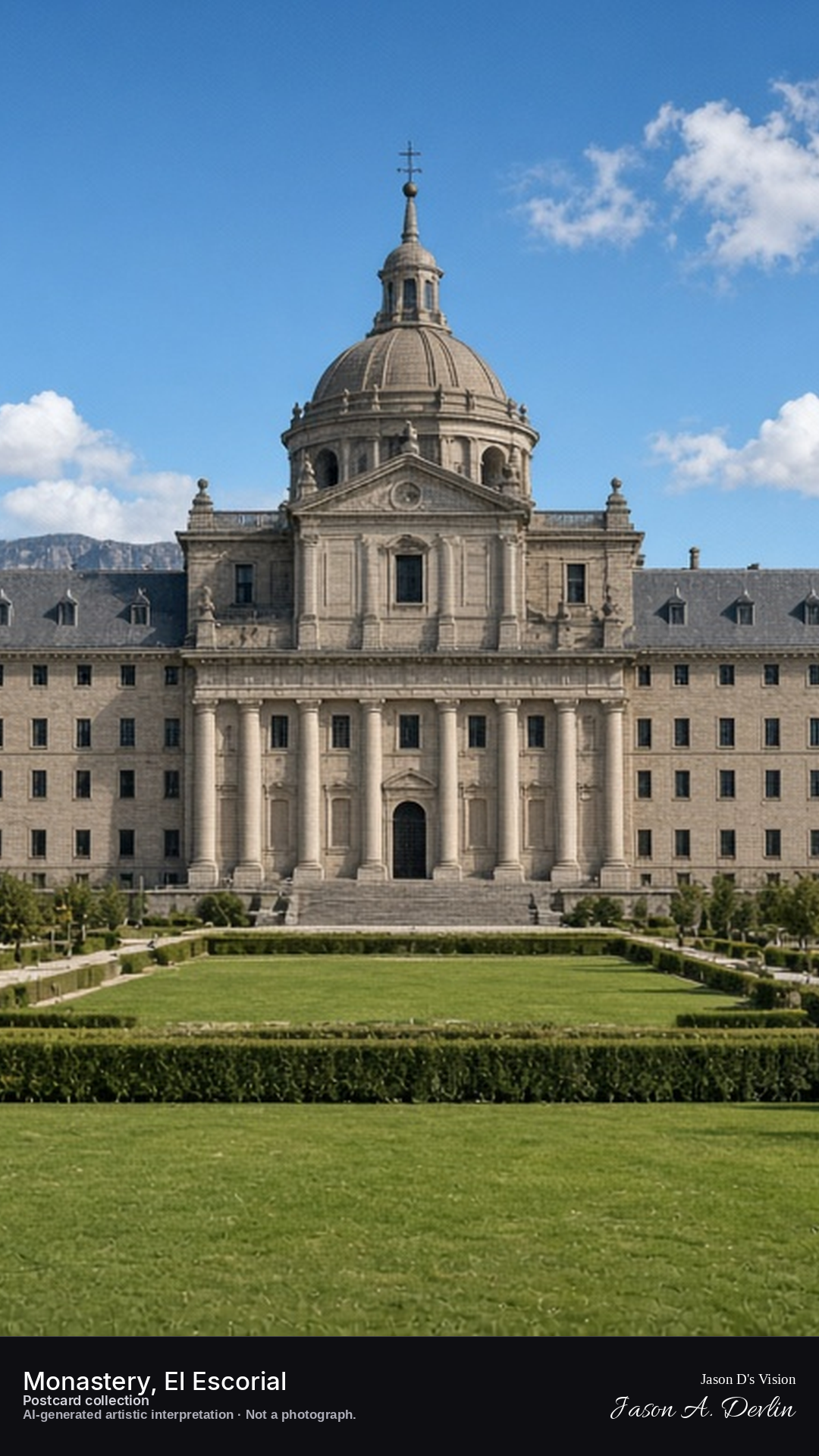
Night · Monastery from the gardens, illuminated façade under a black sky · AI-generated artistic interpretation
From the gardens of El Escorial at night, the monastery's vast illuminated façade stretches across the darkness. Floodlights wash the granite front, its grid of windows glowing against the black sky. The great rectangle of the monastery stands immense and ordered, the gardens before it dark and still.
Postcard collection
Night
Viewpoint, conditions & editions
Gardens before the monastery, facing the basilica façade (approx 40.5892N, 4.1479W)
21.5°C, weather code 0 (clear), cloud 14%, precipitation 0 mm, wind 2.6 km/h. Sunrise 08:05, sunset 20:10. Scenario minute 04:48 falls inside the 04:00 model-valid hour.
Night illumination of the monastery is supported by photographic records, but is not verified for this specific hour. Façade and tower detail are interpretive. Camera point in the gardens is a conventional viewpoint, not map-verified.
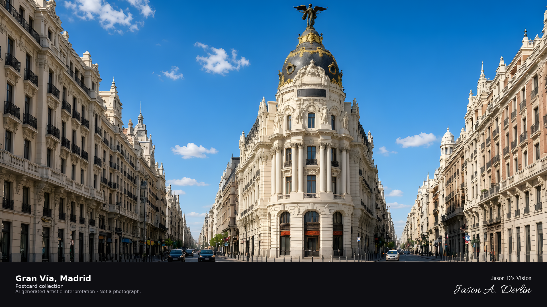
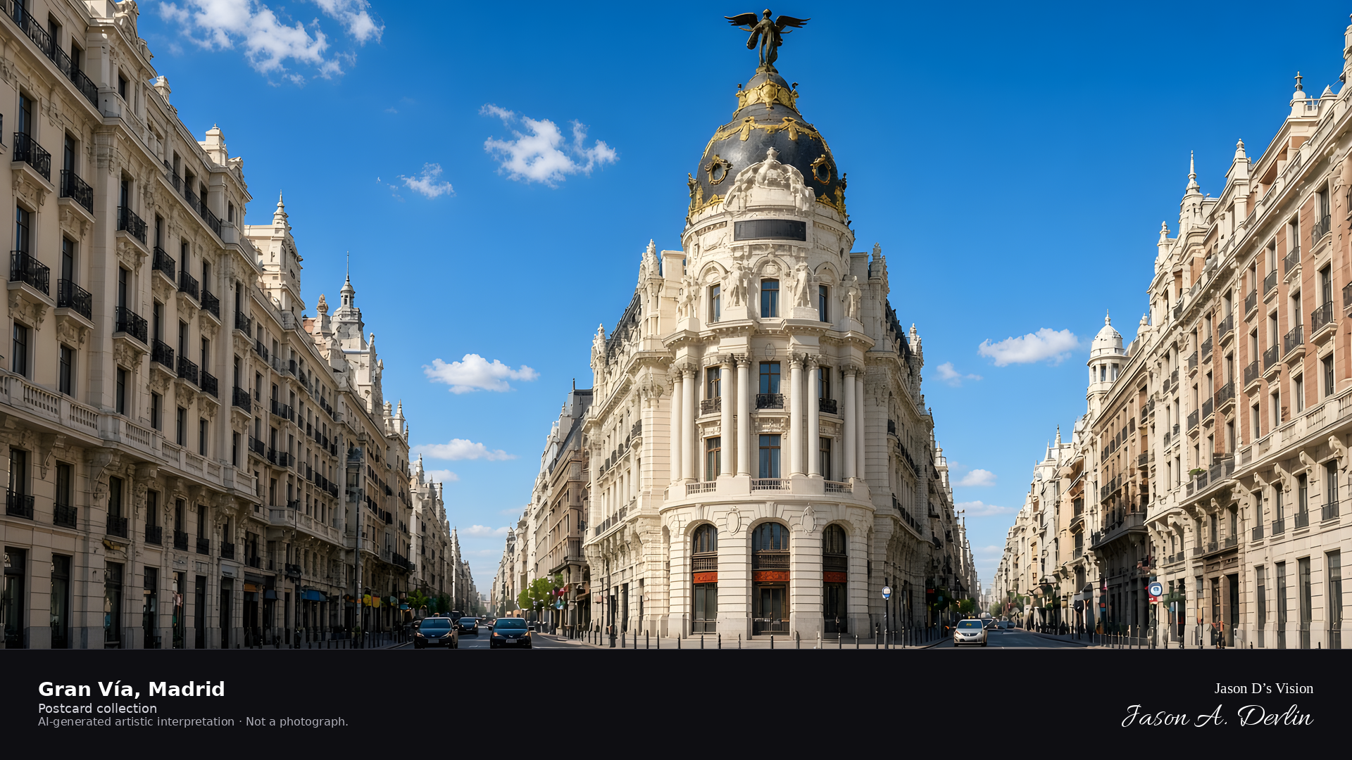
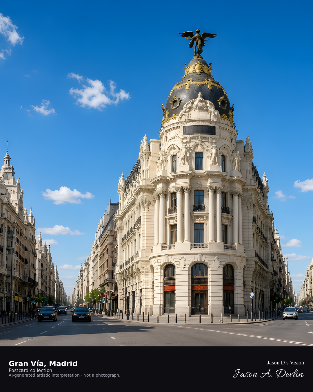
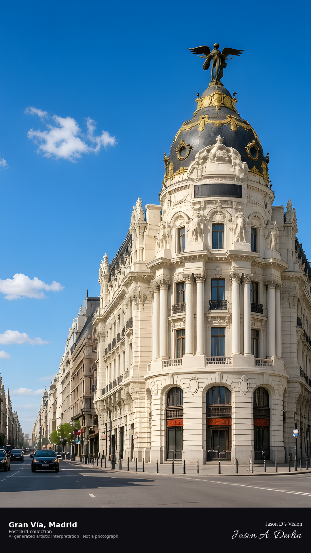
Night · Avenue looking down the street toward the Metrópolis building, neon and streetlights · AI-generated artistic interpretation
Stand on the Gran Vía at night and look down the avenue toward the Metrópolis building, its dome glowing above the rooftops. Neon signs and streetlights blaze along both sides, the street alive with traffic and light. The great boulevard runs straight to the illuminated dome, Madrid's most electric nighttime view.
Postcard collection
Night
Viewpoint, conditions & editions
On the avenue looking toward the Metrópolis building (approx 40.4205N, 3.6949W)
20.3°C, weather code 0 (clear), cloud 6%, precipitation 0 mm, wind 5 km/h. Sunrise 08:04, sunset 20:08. Scenario minute 04:56 falls inside the 04:00 model-valid hour.
Night illumination of Gran Vía and the Schweppes sign is widely documented, but is not verified for this specific hour. Neon and architectural detail are interpretive. Camera point on the avenue is a conventional viewpoint, not map-verified.
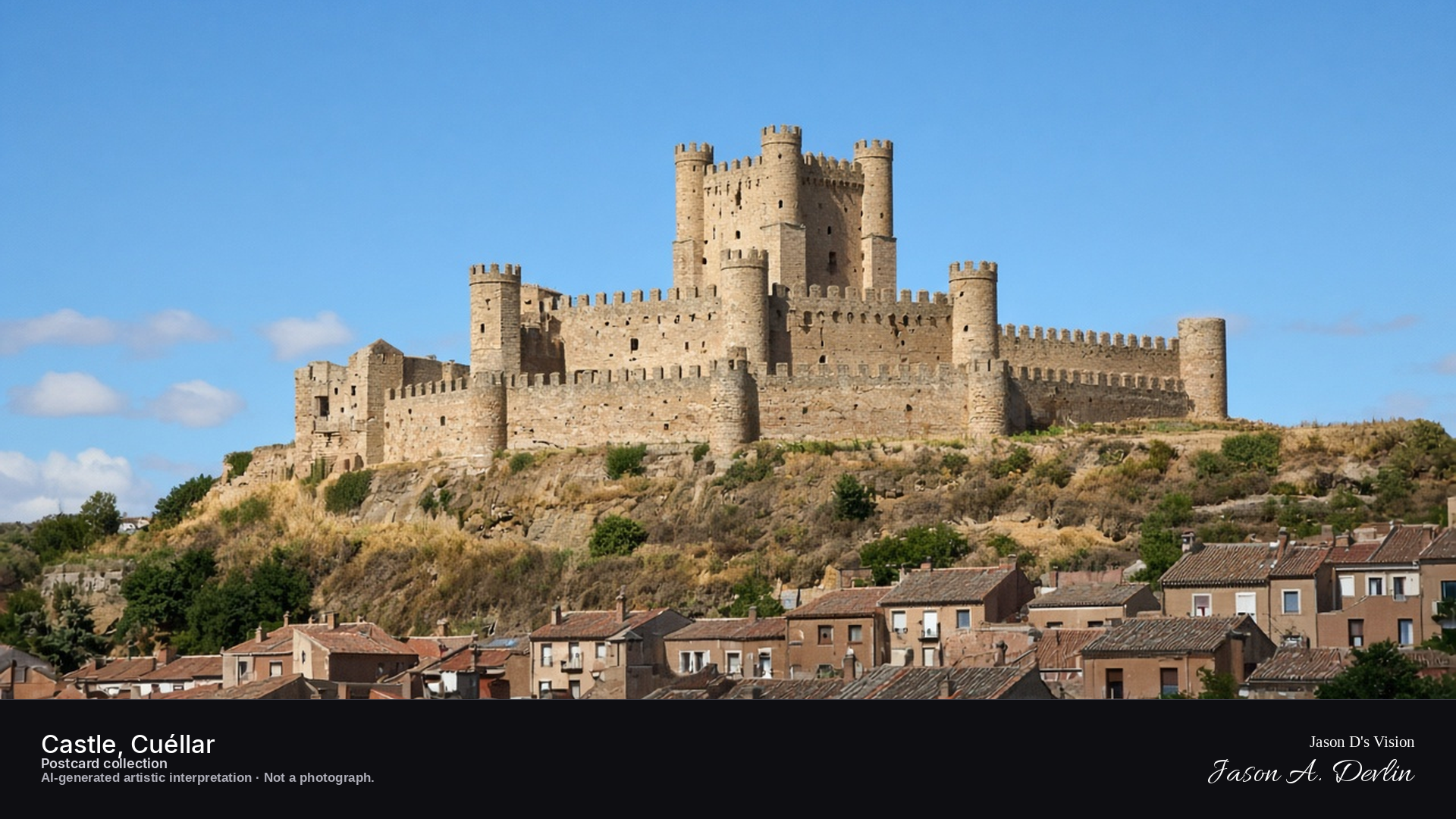
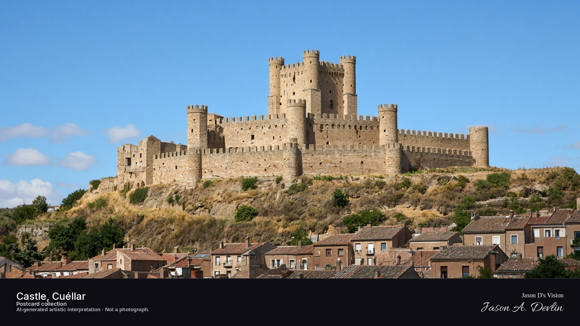
Night · Castle from below the town walls, moonlit silhouette over the lit town · AI-generated artistic interpretation
Seen from below the town walls, the castle rises on its hill as a moonlit silhouette over Cuéllar, its towers and keep dark against the sky while the lit town spreads out beneath it. Warm window light dots the old town's streets below the fortress walls. The castle has been a ducal palace for centuries — tonight it looms over its town in quiet, moonlit command.
Postcard collection
Night
Viewpoint, conditions & editions
Below the town walls, facing the castle on the hilltop (approx 41.4000N, 4.3167W)
15.3°C, weather code 3 (overcast), cloud 74%, precipitation 0 mm, wind 5.1 km/h. Sunrise 08:06, sunset 20:11. Scenario minute 02:22 falls inside the 02:00 model-valid hour.
No floodlighting is claimed: the castle is depicted as a moonlit silhouette because night illumination is not supported by references. Wall and tower detail are interpretive. Camera point below the walls is a conventional tourist viewpoint, not map-verified.
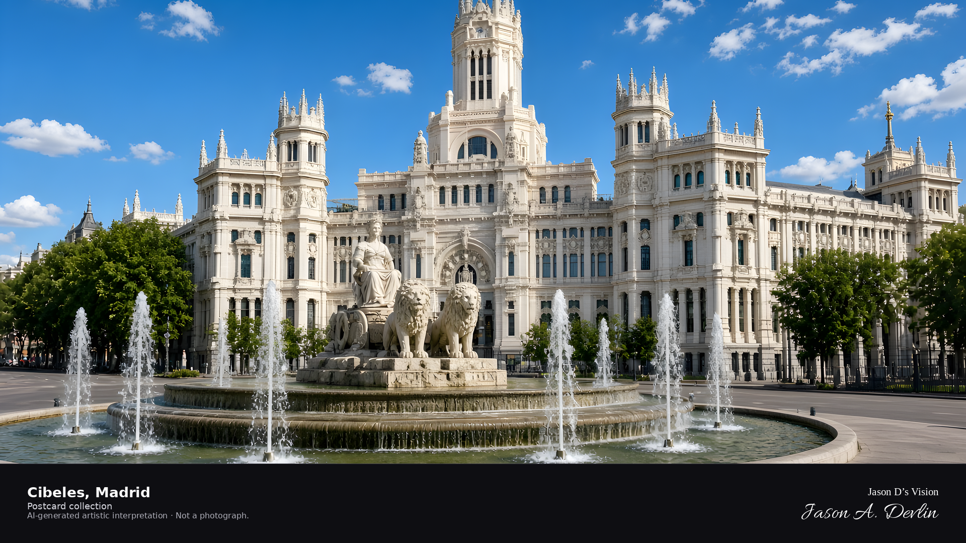
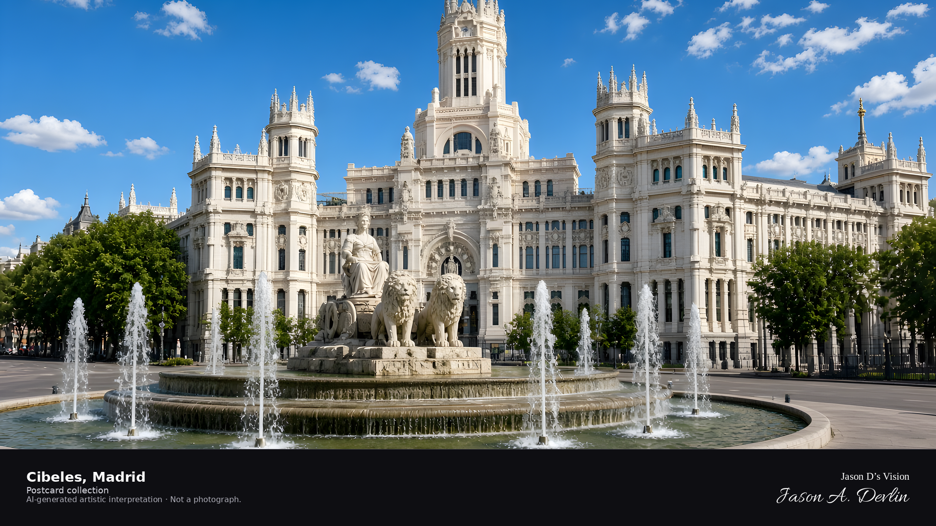
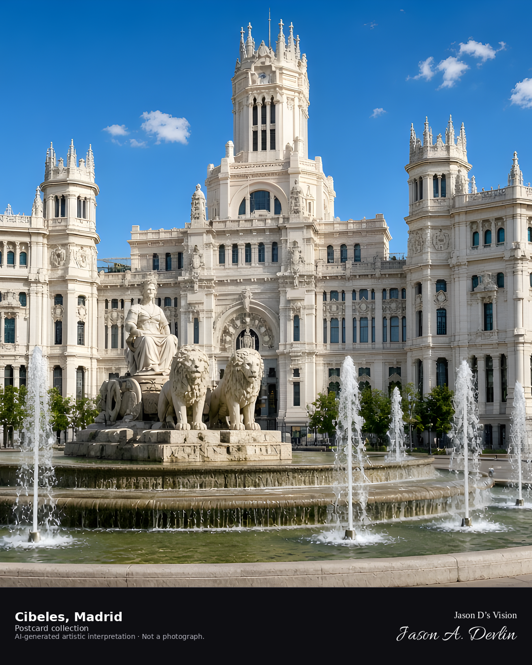
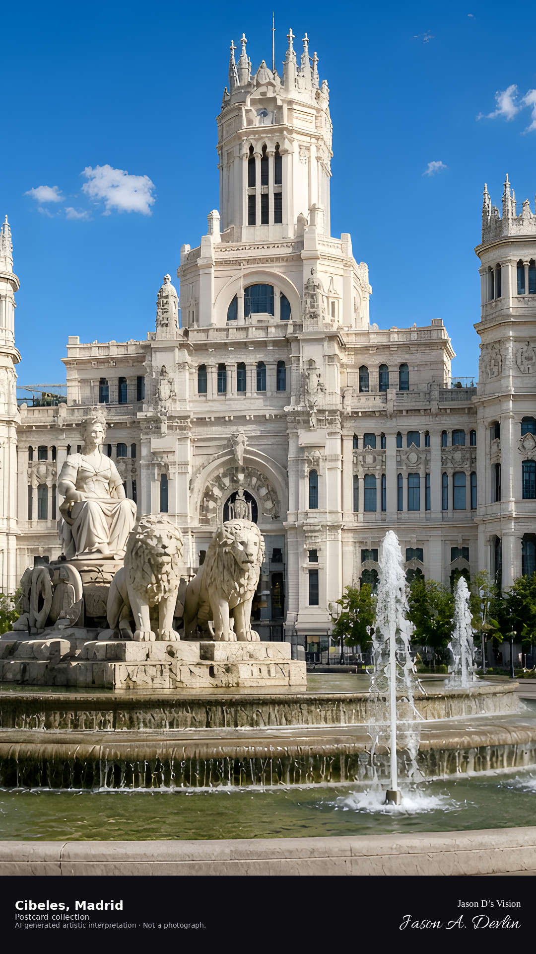
Night · Fountain from the square, illuminated water and glowing palace behind · AI-generated artistic interpretation
From the square at Cibeles at night, the fountain's illuminated water dances before the glowing Palacio de Cibeles. The white palace blazes with light behind the spraying jets, its towers rising into the dark sky. Traffic circles the fountain; the palace and water together make Madrid's grandest night postcard.
Postcard collection
Night
Viewpoint, conditions & editions
Plaza de Cibeles, facing the fountain and palace (approx 40.4193N, 3.6933W)
19.7°C, weather code 1 (mainly clear), cloud 1%, precipitation 0 mm, wind 4.4 km/h. Sunrise 08:04, sunset 20:08. Scenario minute 05:04 falls inside the 05:00 model-valid hour.
Night illumination of the fountain and palace façade is widely documented, but is not verified for this specific hour. Sculpture and water detail are interpretive. Camera point in the square is a conventional viewpoint, not map-verified.
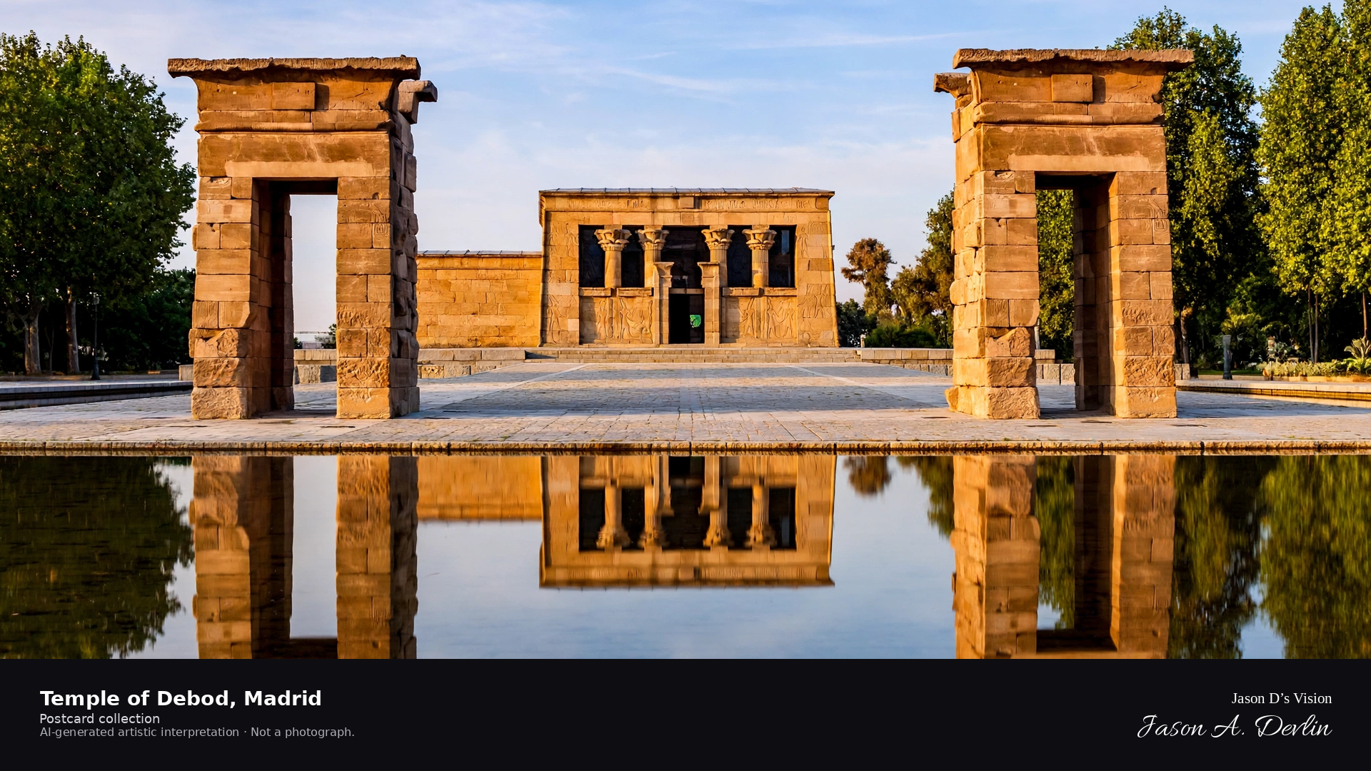
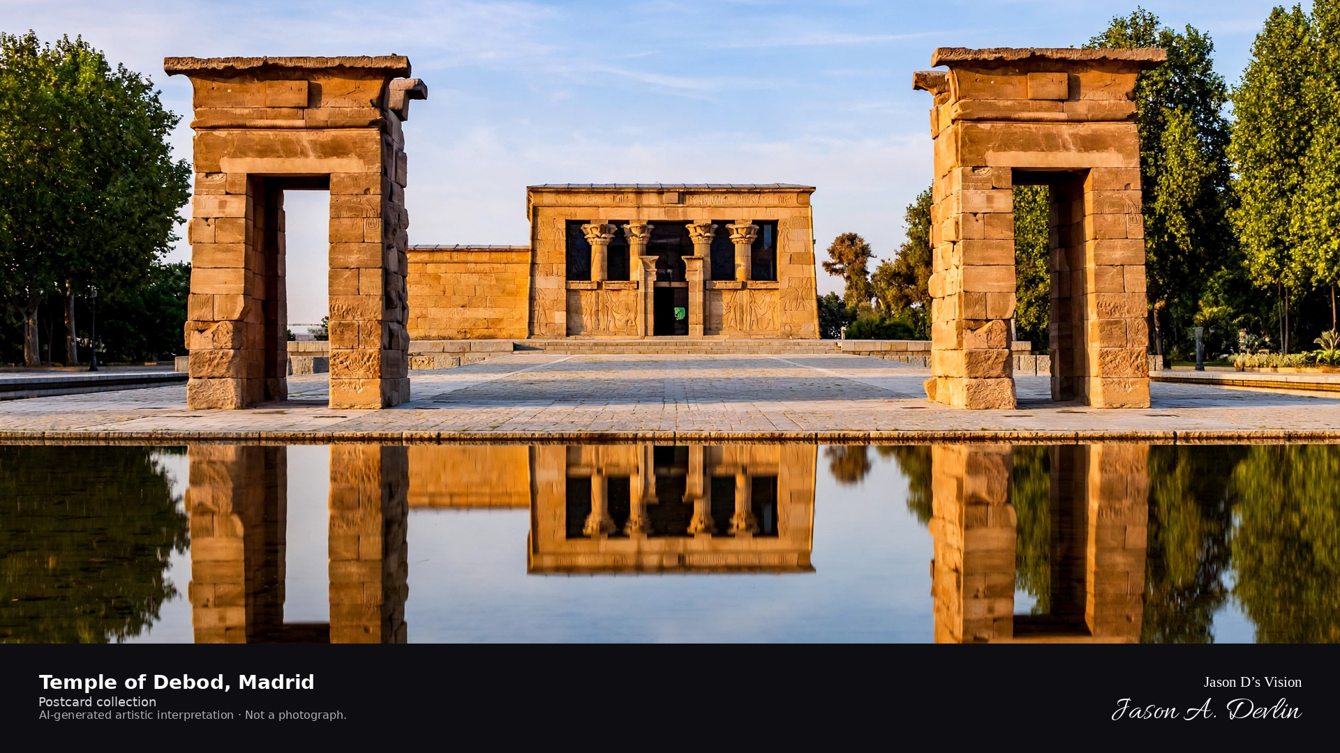
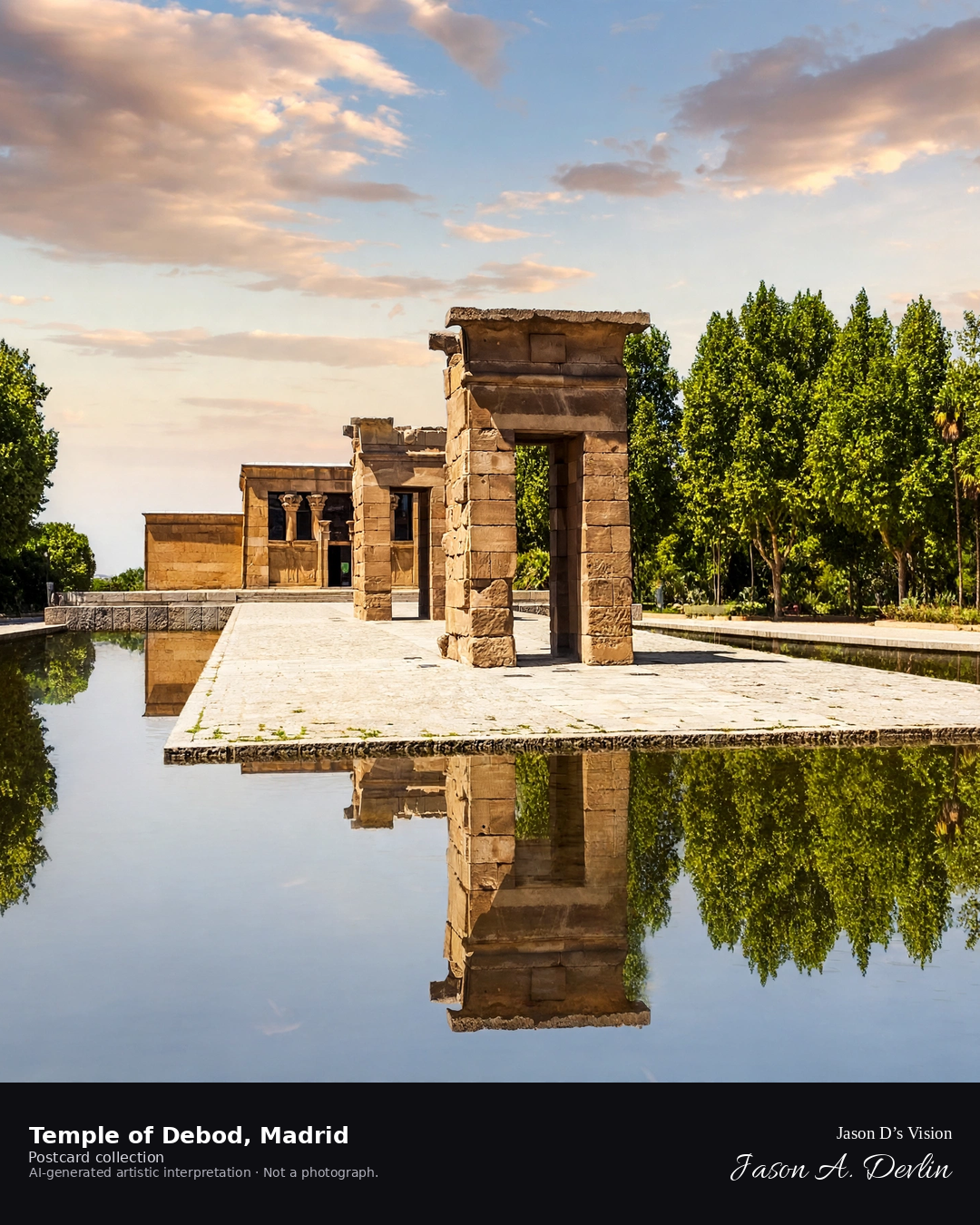
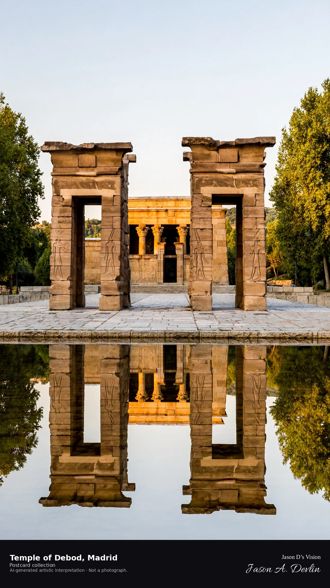
Night · Temple from the pond, lit stones reflected in the water · AI-generated artistic interpretation
From the pond's edge at night, the ancient Temple of Debod stands floodlit, its Egyptian stones glowing amber against the black sky. The whole temple mirrors in the still water, doubled and shimmering. The park around it is dark and quiet, the 2,200-year-old temple floating on its own reflection.
Scenario: 24 September 2026 · 05:12 Europe/Madrid
Night
Viewpoint, conditions & editions
Pond before the temple, facing the pylons (approx 40.4242N, 3.7178W)
19.7°C, weather code 1 (mainly clear), cloud 1%, precipitation 0 mm, wind 4.4 km/h. Sunrise 08:04, sunset 20:08. Scenario minute 05:12 falls inside the 05:00 model-valid hour.
Night illumination of the temple is documented, but is not verified for this specific hour. Stone and reflection detail are interpretive. Camera point at the pond is a conventional viewpoint, not map-verified.
Night · Square ashlar Castle of Charles V above the old town · AI-generated artistic interpretation
Near the Santa María gate at night, the Castle of Charles V is one square mass of heavy ashlar, a sober Gothic-Renaissance palace-fortress over the cobbled street. The door is a small arch under an alfiz, with the imperial shield above it.
Postcard collection
Night
Viewpoint, conditions & editions
Old town near the Santa María gate (approx 43.3671N, 1.7939W).
18.1°C, WMO 3 overcast, cloud 100%, precipitation 0.0 mm, wind 6.2 km/h. Sunrise 08:04, sunset 19:48. Night; no direct sunlight.
Night · Harbor, the town, and the octagonal lighthouse on El Ratón · AI-generated artistic interpretation
From the harbor at night, the town and mouse-shaped Monte San Antón rise together. The lighthouse is a short octagonal stone tower on the hill, attached to the keeper's house. The breakwater carries only a small red-topped beacon.
Scenario: 1 October 2026 · 05:15 Europe/Madrid
Night
Viewpoint, conditions & editions
Harbor looking up at the town and the Ratón (approx 43.3050N, 2.2014W).
17.8°C, WMO 3 overcast, cloud 100%, precipitation 0.0 mm, wind 6.6 km/h. Sunrise 08:06, sunset 19:50. Night; no direct sunlight.
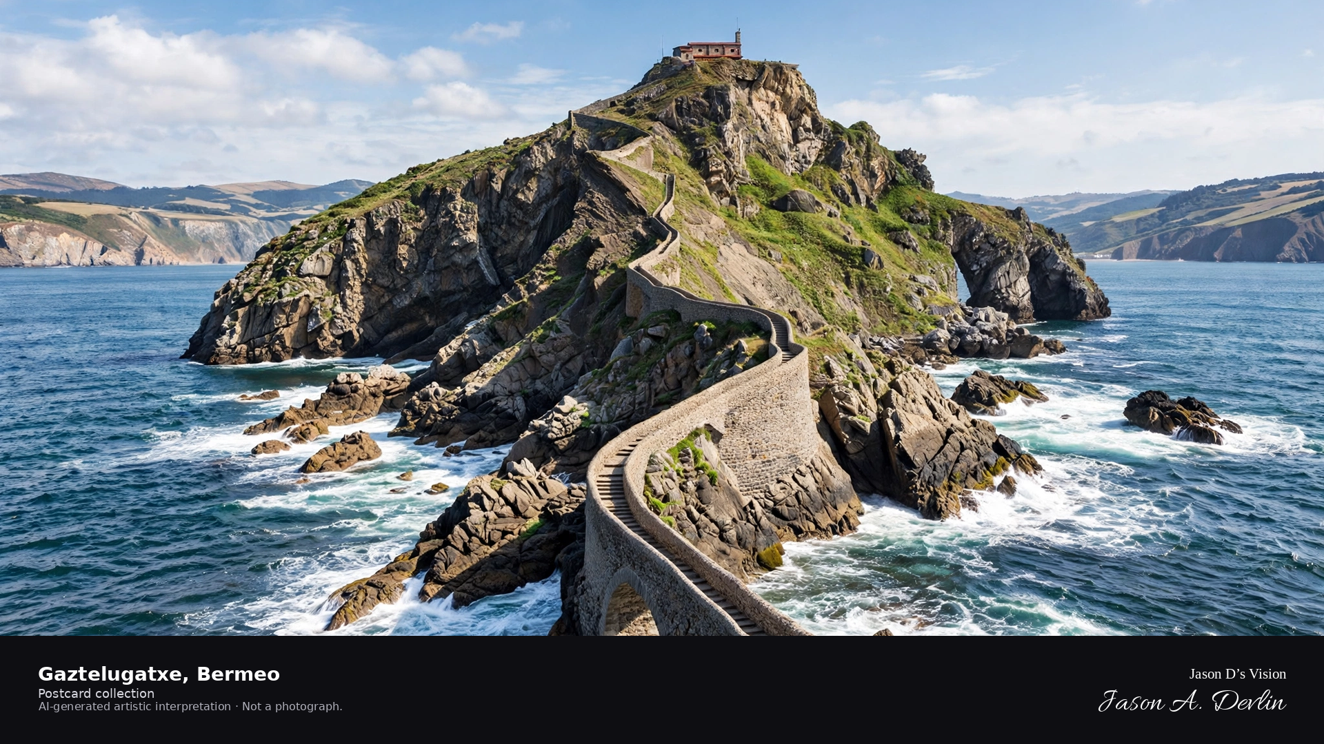
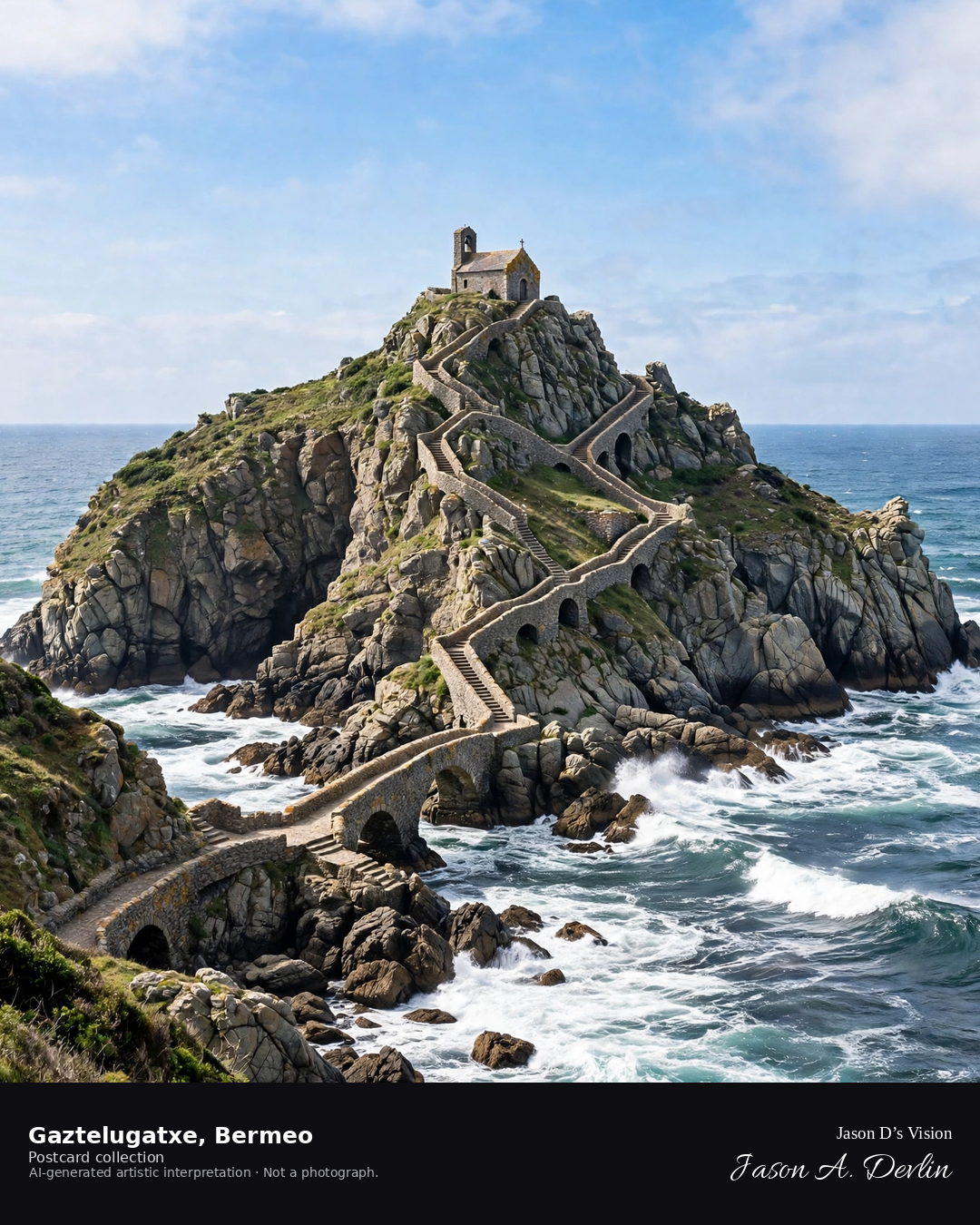
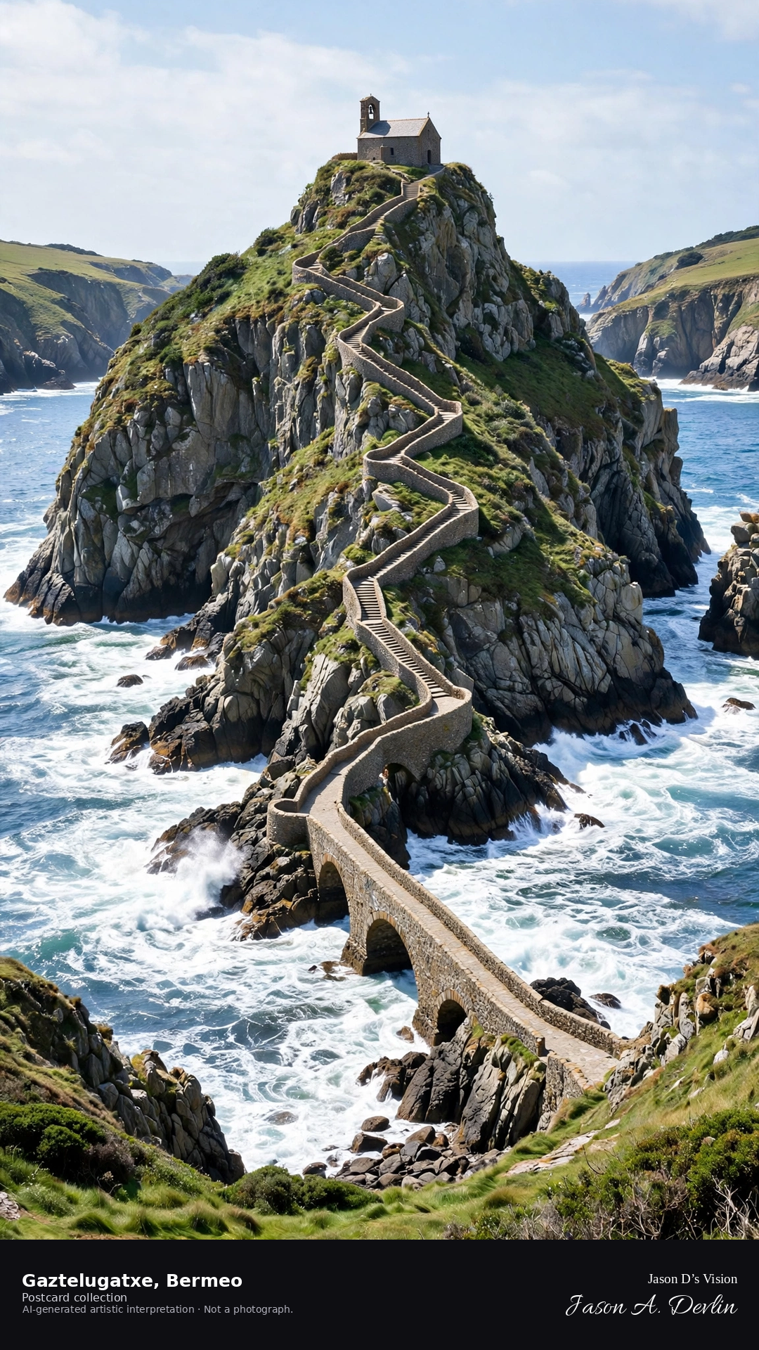
Night · Islet from the mainland path, moonlit hermitage and footbridge · AI-generated artistic interpretation
From the mainland path at night, the islet of Gaztelugatxe rises from the dark sea, its little hermitage moonlit atop the rock. The stone footbridge arches across the water to it, pale in the moonlight. Waves move black below the bridge; the hermitage sits tiny and luminous on its pinnacle under the stars.
Scenario: 24 September 2026 · 05:36 Europe/Madrid
Night
Viewpoint, conditions & editions
Mainland path before the footbridge (approx 43.4465N, 2.7833W)
17.3°C, weather code 3 (overcast), cloud 90%, precipitation 0 mm, wind 12.2 km/h. Sunrise 08:00, sunset 20:05. Scenario minute 05:36 falls inside the 05:00 model-valid hour.
The Visit Biscay accessibility page states there is no lighting at night, so the scene uses an honest moonlit treatment — no floodlighting is claimed. Islet and bridge detail are interpretive. Camera point on the mainland path is a conventional viewpoint, not map-verified.
Night · Fortress-Gothic cathedral, three-portal portico and octagonal south tower · AI-generated artistic interpretation
From the old-town square at night, Santa María is fortress-Gothic. The west front is a portico of three pointed portals. One southern tower rises from a square shaft to an octagonal belfry and a later slate spire.
Scenario: 1 October 2026 · 05:15 Europe/Madrid
Night
Viewpoint, conditions & editions
Old town square before the cathedral (approx 42.8509N, 2.6727W).
14.8°C, WMO 3 overcast, cloud 100%, precipitation 0.0 mm, wind 9.3 km/h. Sunrise 08:07, sunset 19:52. Night; no direct sunlight.
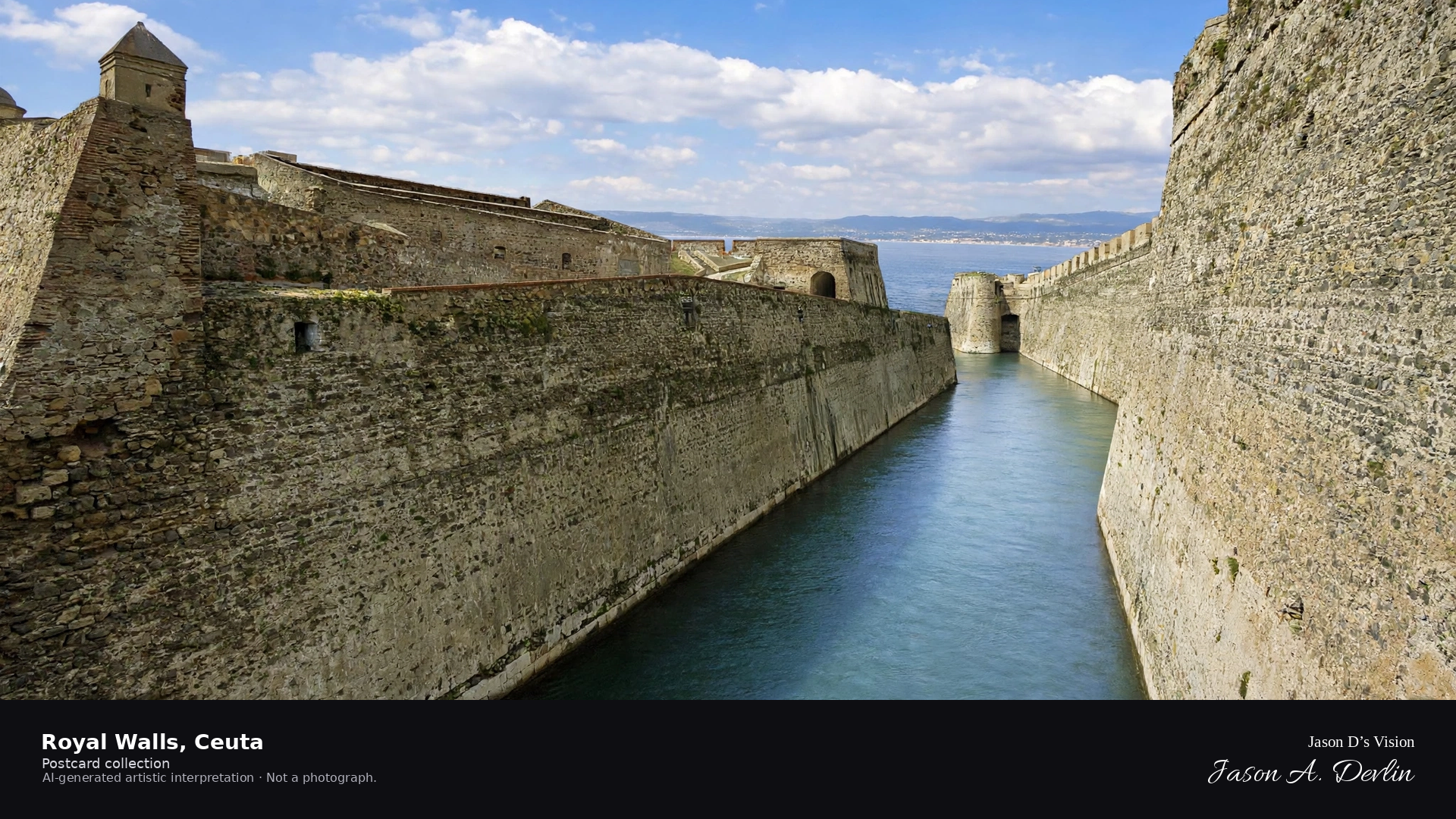
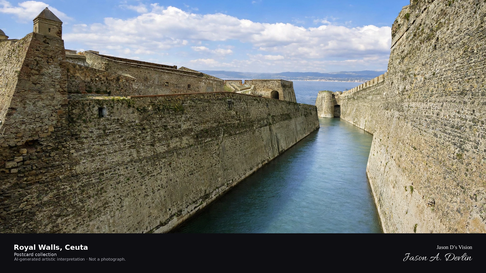
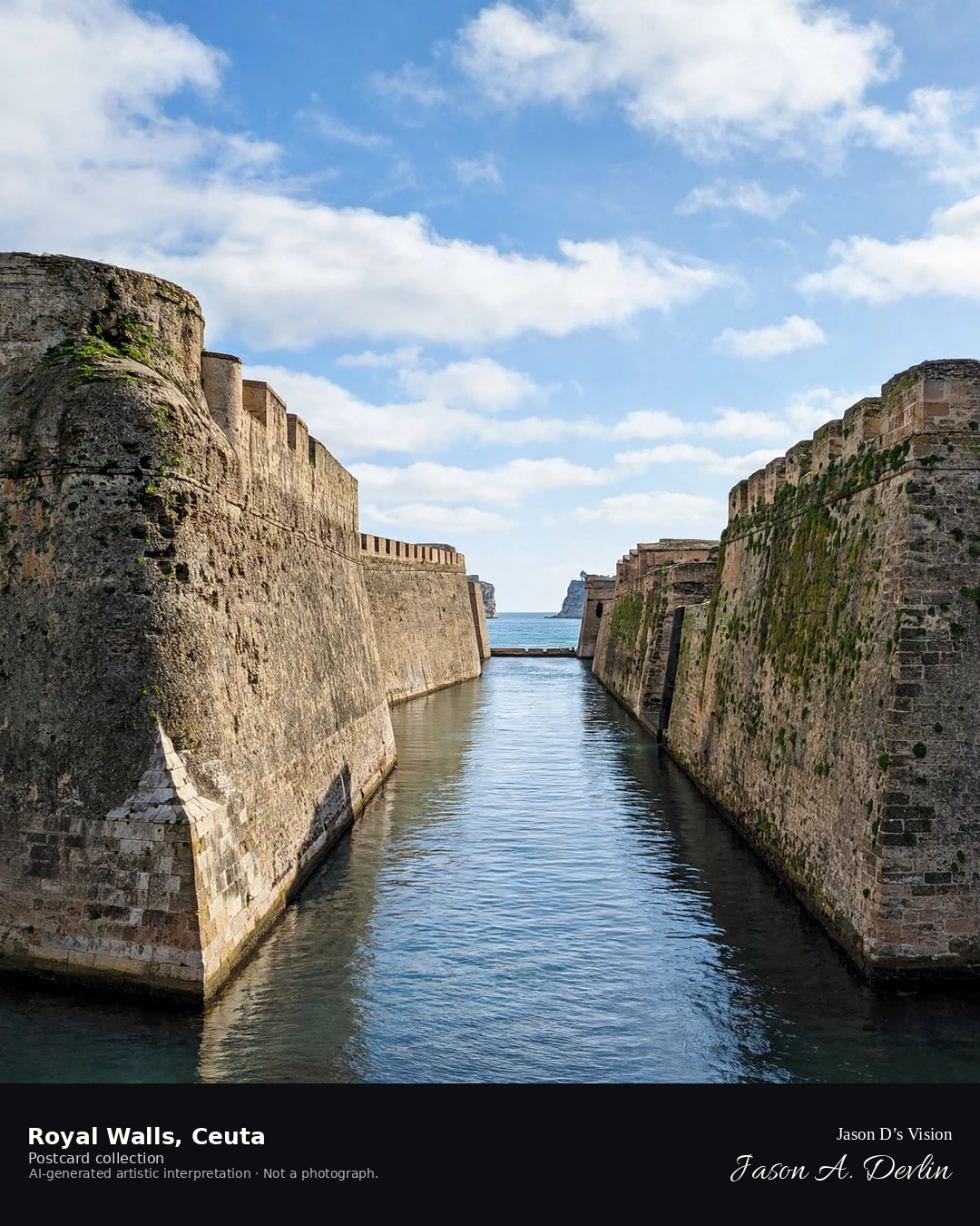
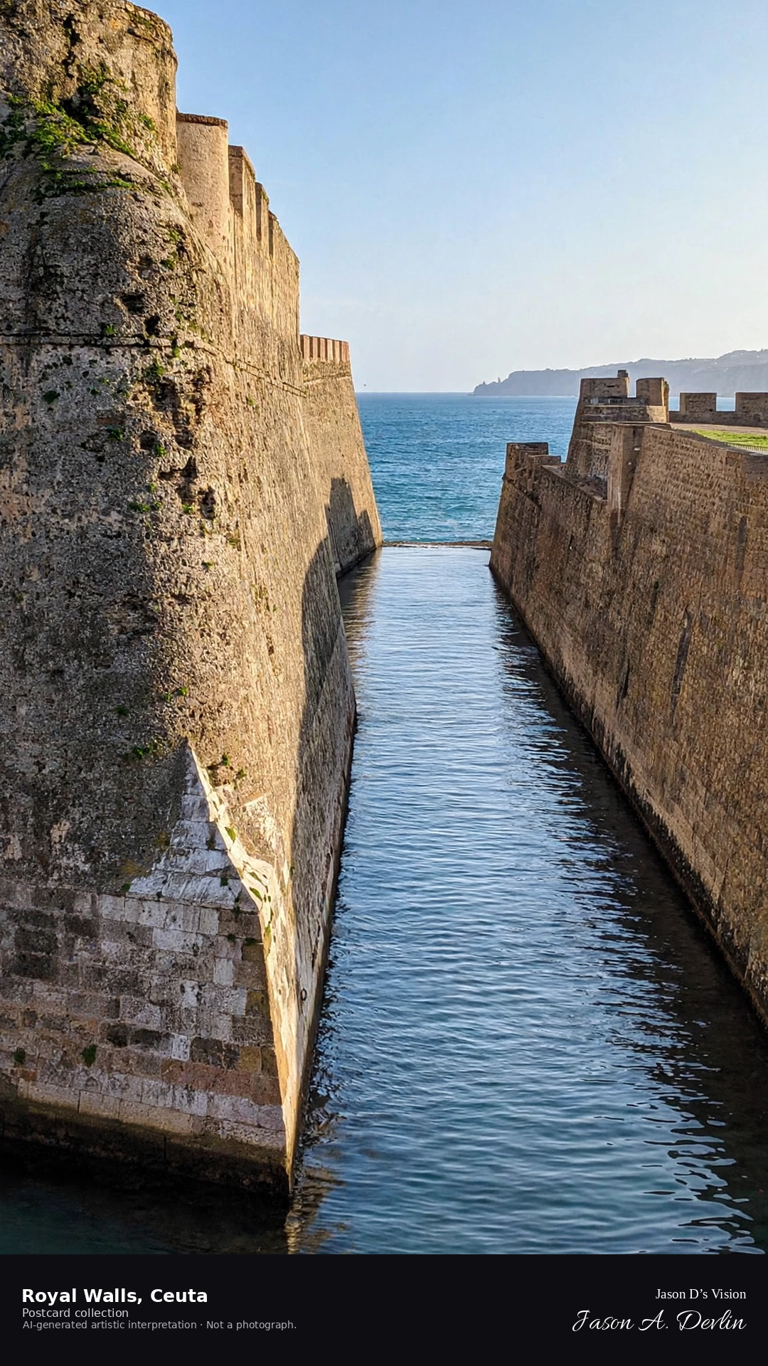
Night · Walls from the moat path, moonlit fortifications and dark water · AI-generated artistic interpretation
From the moat path at night, Ceuta's Royal Walls rise moonlit above the dark water of the moat. The massive fortifications catch the moon's light along their bastions while the water below lies black and still. The walls guard the narrow isthmus in silence, moonlight tracing their ancient stone.
Scenario: 24 September 2026 · 05:52 Europe/Madrid
Night
Viewpoint, conditions & editions
Moat path before the walls (approx 35.8886N, 5.3189W)
21.7°C, weather code 2 (partly cloudy), cloud 54%, precipitation 0 mm, wind 9.5 km/h. Sunrise 08:10, sunset 20:15. Scenario minute 05:52 falls inside the 05:00 model-valid hour.
No illumination of the Royal Walls is documented, so the scene uses an honest moonlit treatment — no floodlighting is claimed. Fortification and moat detail are interpretive. Camera point along the moat is a conventional viewpoint, not map-verified.
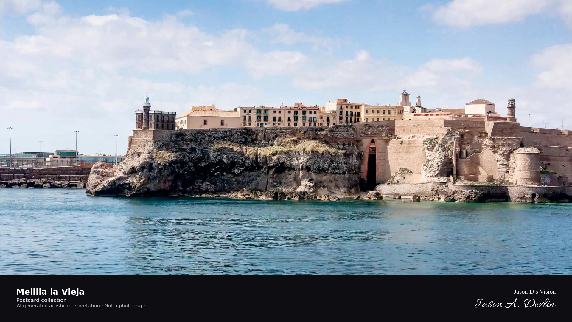
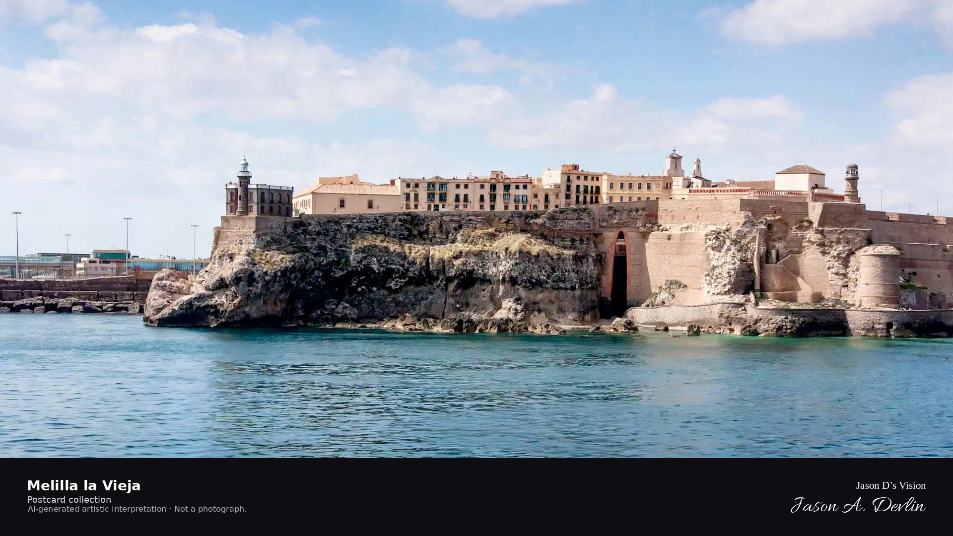
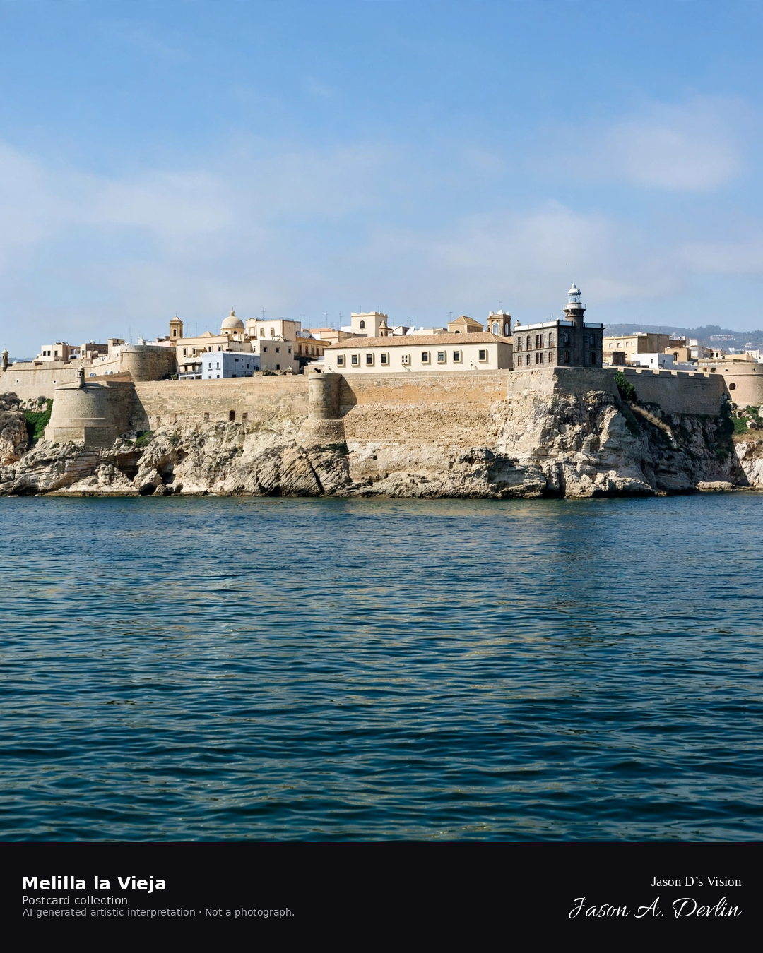
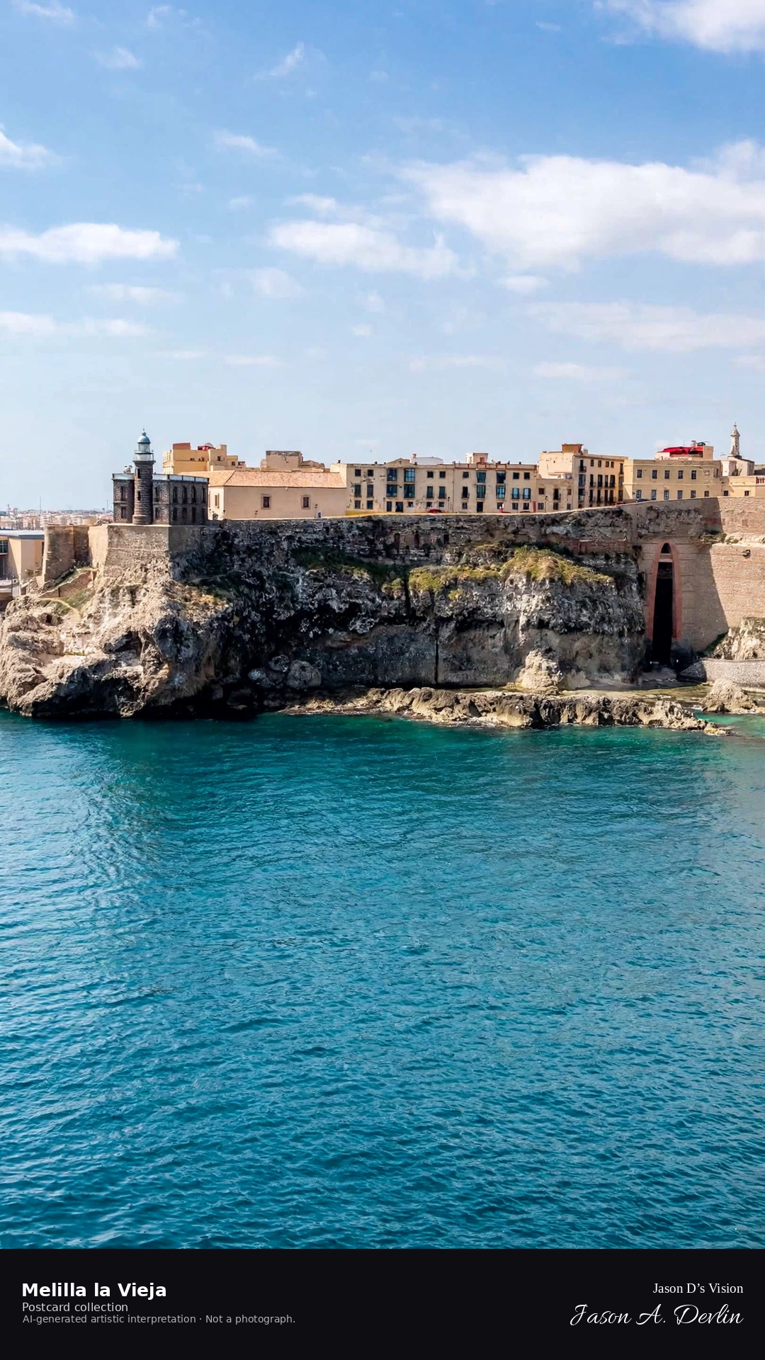
Night · Fortress from the port side, illuminated bastions and lighthouse beam · AI-generated artistic interpretation
From the port at night, Melilla la Vieja's fortress rises above the harbor, its bastions floodlit and the lighthouse beam sweeping overhead. The illuminated ramparts glow against the dark Mediterranean while the modern port twinkles below. The old fortress commands the headland, light and stone holding the African shore.
Scenario: 24 September 2026 · 06:00 Europe/Madrid
Night
Viewpoint, conditions & editions
Port side before the fortress (approx 35.2936N, 2.9362W)
22.3°C, weather code 0 (clear), cloud 29%, precipitation 0 mm, wind 1.3 km/h. Sunrise 08:01, sunset 20:05. Scenario minute 06:00 falls inside the 06:00 model-valid hour.
The fortress lighting and the lighthouse beam are documented features, but neither is verified for this specific hour. Fortress and port detail are interpretive. Camera point from the port side is a conventional viewpoint, not map-verified.
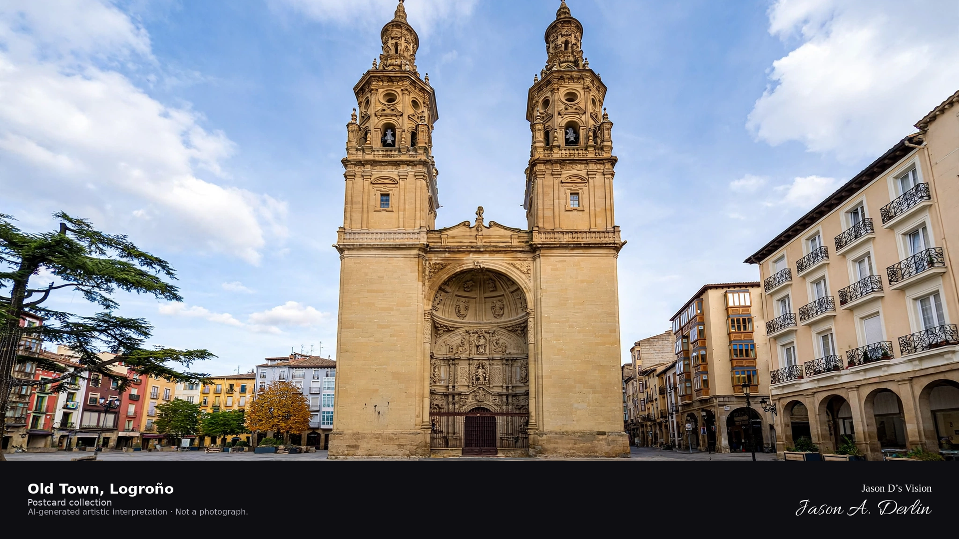
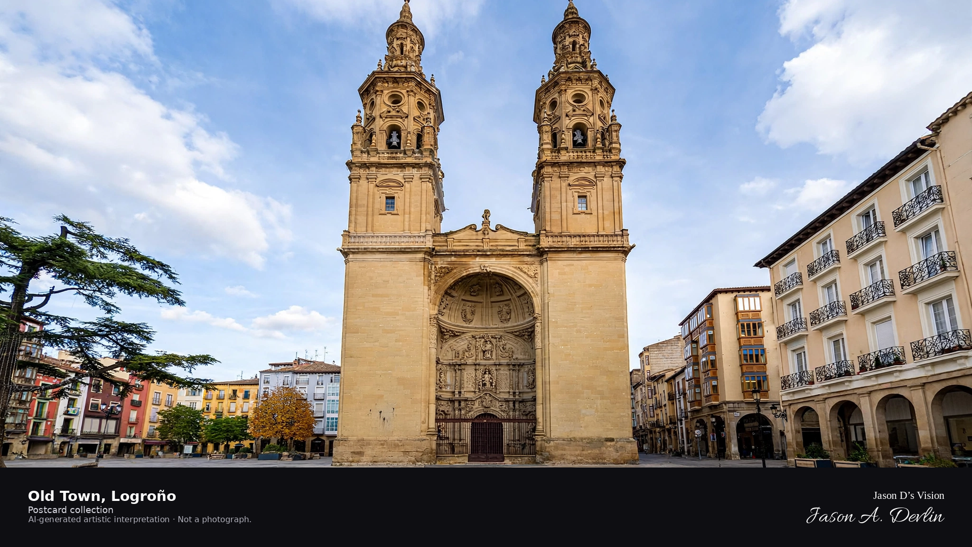
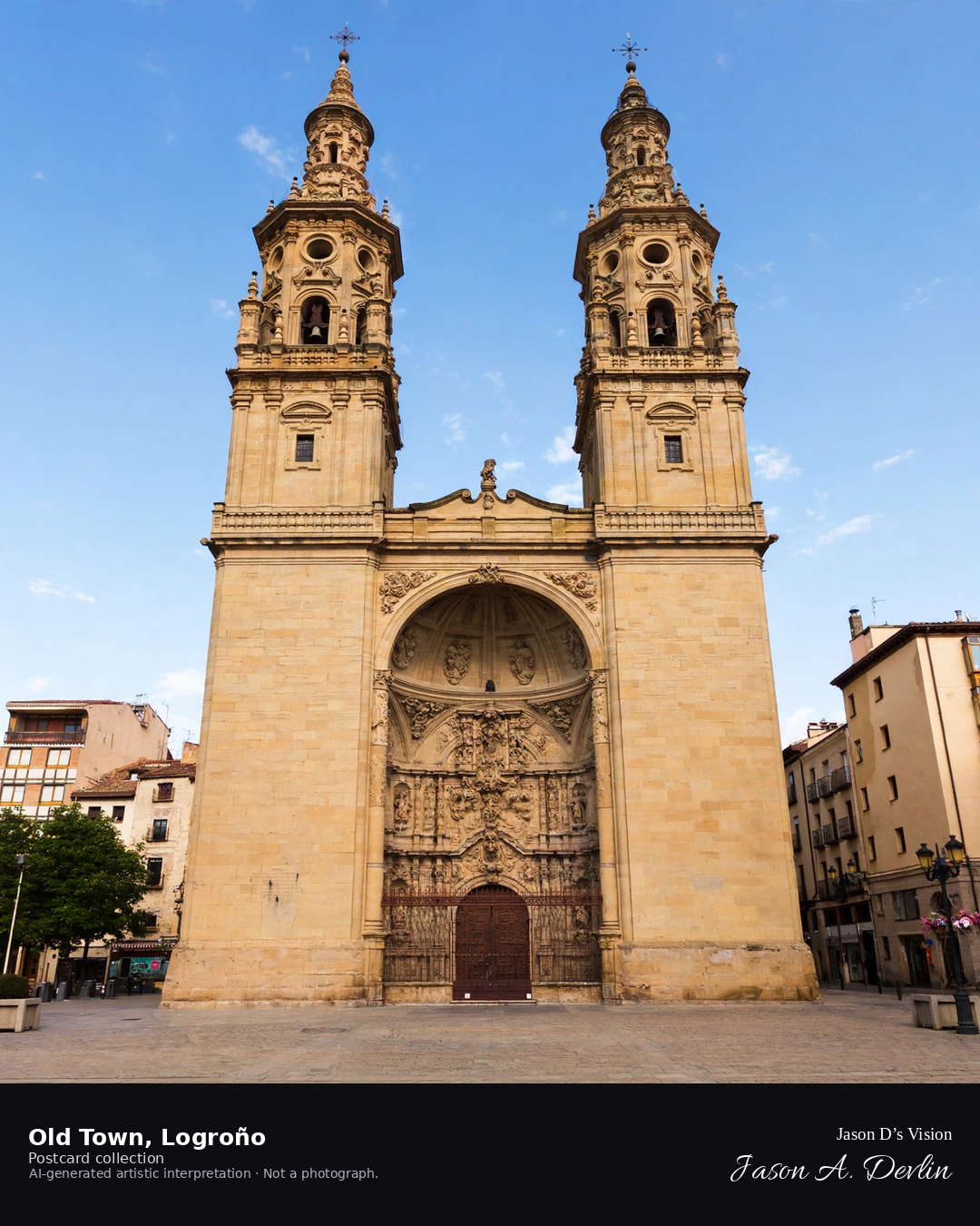
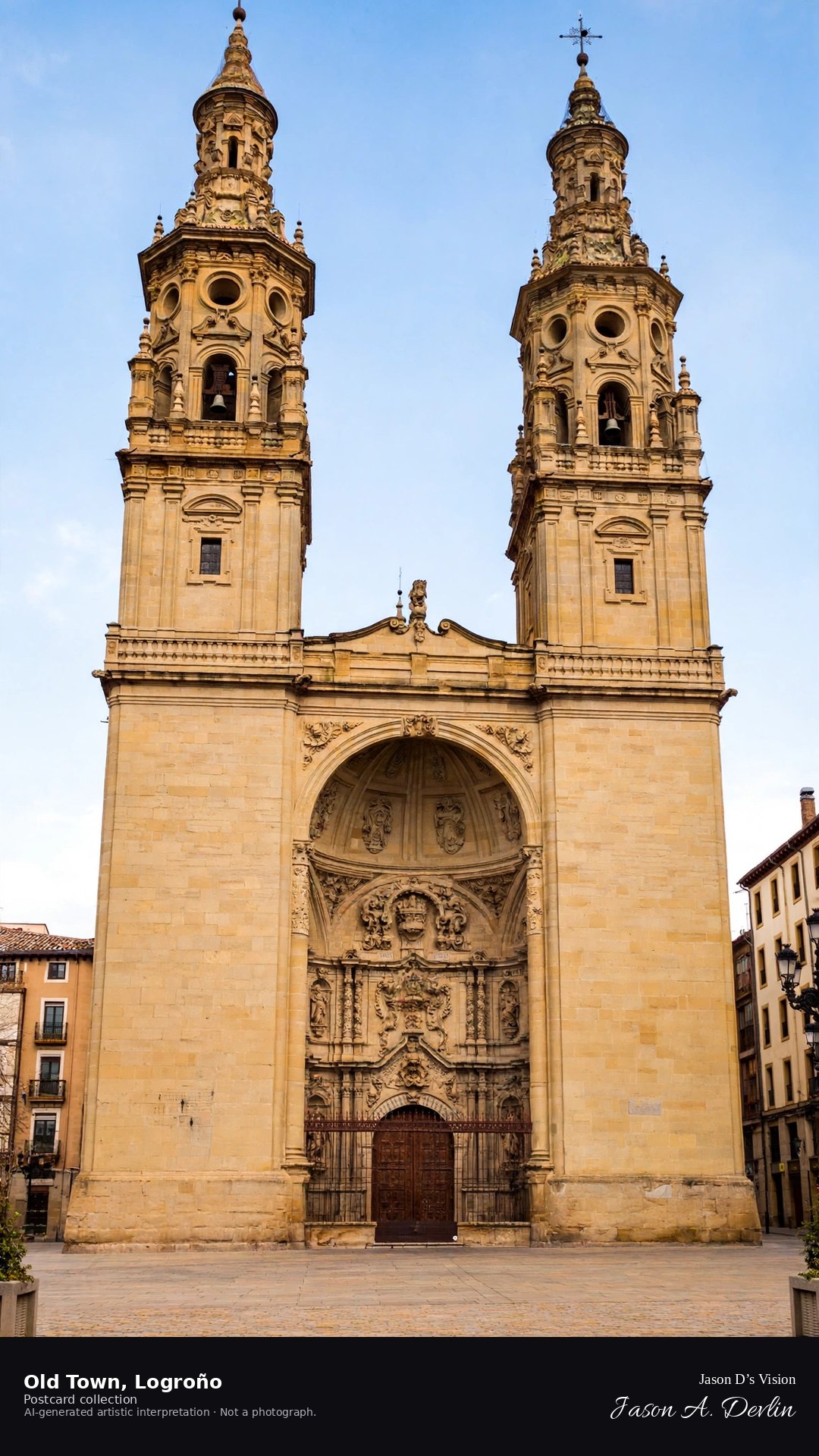
Night · Concatedral from the old town square, twin towers and lit streets · AI-generated artistic interpretation
From the old town square at night, Logroño's Concatedral de Santa María de la Redonda rises with its twin towers floodlit against the sky. Lit streets of the old quarter run off the square, their tapas bars glowing. The twin towers dominate the night, the Rioja capital's old town humming softly below.
Scenario: 24 September 2026 · 06:08 Europe/Madrid
Night
Viewpoint, conditions & editions
Old town square before the concatedral (approx 42.4667N, 2.4450W)
17.1°C, weather code 2 (partly cloudy), cloud 67%, precipitation 0 mm, wind 4.6 km/h. Sunrise 07:59, sunset 20:03. Scenario minute 06:08 falls inside the 06:00 model-valid hour.
The concatedral's night illumination is not documented for this specific hour, so the scene uses a warm lit-street treatment without claiming a specific lighting scheme. Detail is interpretive. Camera point in the old town square is a conventional viewpoint, not map-verified.
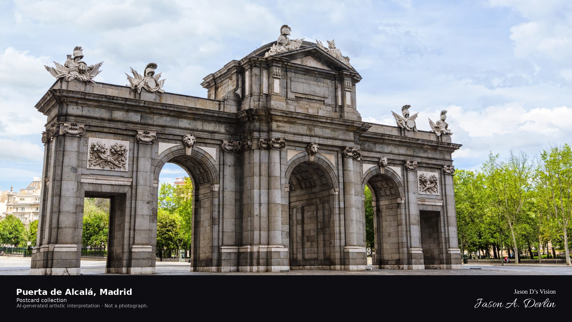
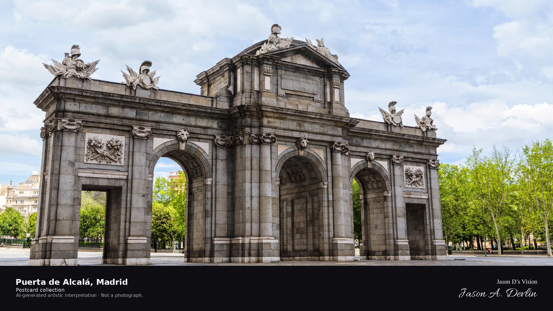
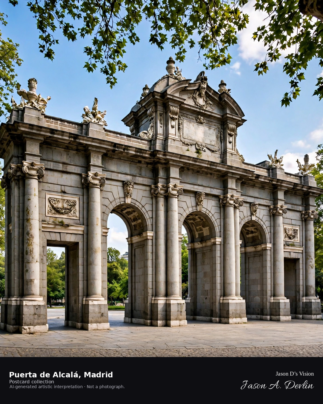
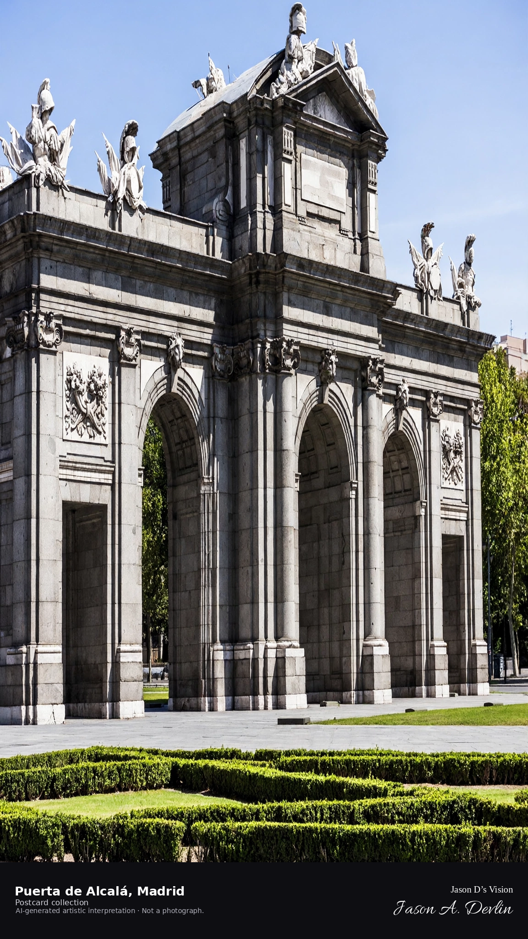
Night · Puerta de Alcalá from the plaza, illuminated arch · AI-generated artistic interpretation
From the plaza at night, the Puerta de Alcalá stands floodlit — its great neoclassical arches glowing against the black sky. The monument's stonework is warm under the lights, traffic circling the roundabout around it. Madrid's grandest gate keeps its lonely, luminous vigil at the edge of the Retiro.
Scenario: 24 September 2026 · 06:16 Europe/Madrid
Night
Viewpoint, conditions & editions
Plaza de la Independencia before the arch (approx 40.4200N, 3.6886W)
18.5°C, weather code 0 (clear), cloud 1%, precipitation 0 mm, wind 4.8 km/h. Sunrise 08:04, sunset 20:08. Scenario minute 06:16 falls inside the 06:00 model-valid hour.
The arch's night illumination is documented, but is not verified for this specific hour. Arch and plaza detail are interpretive. Camera point in the plaza is a conventional viewpoint, not map-verified.
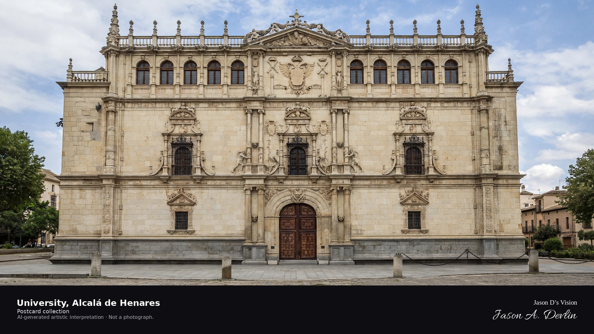
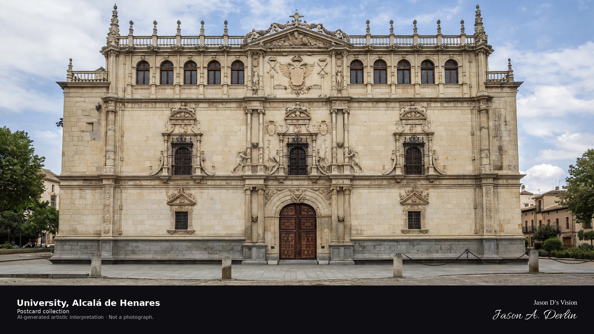
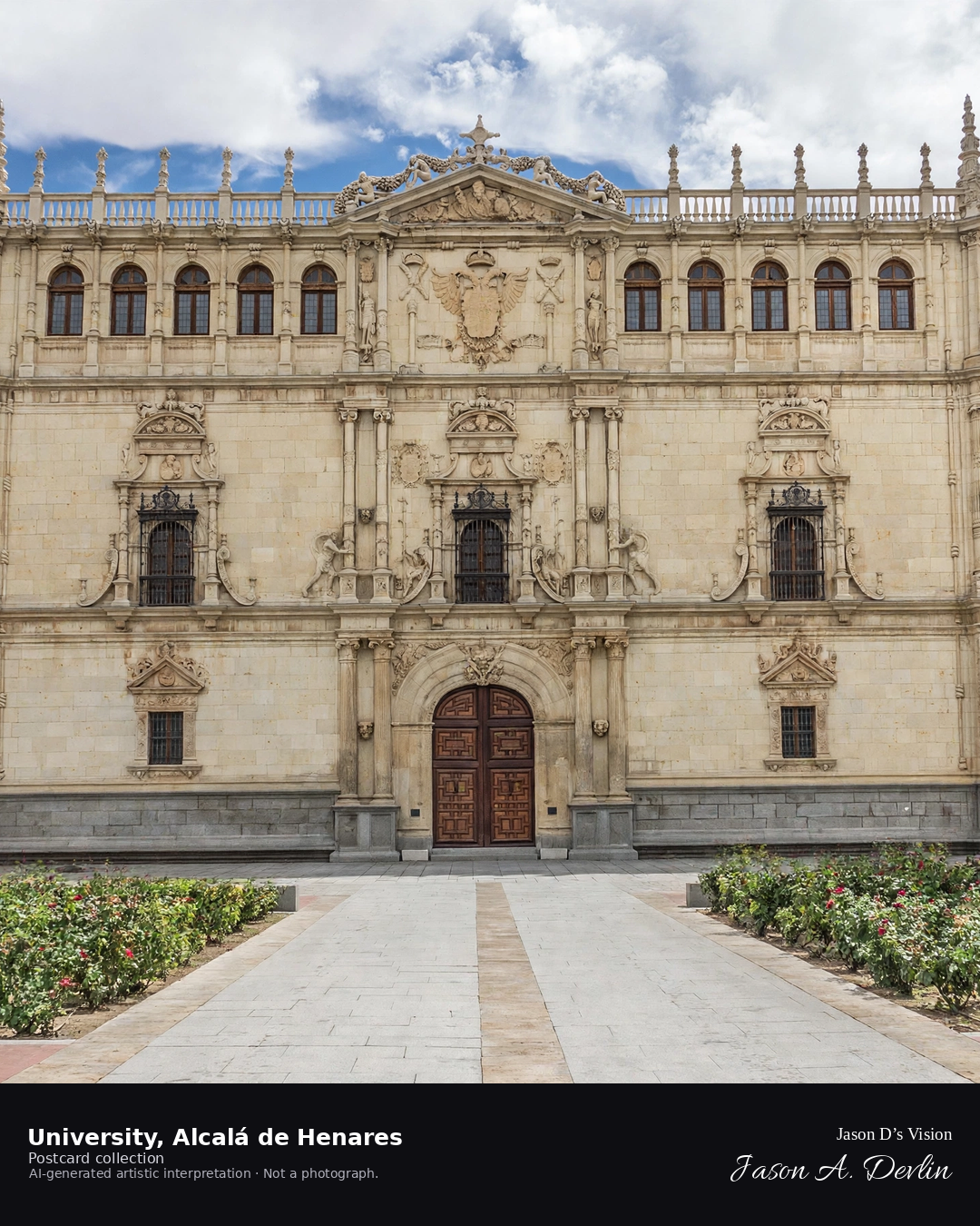
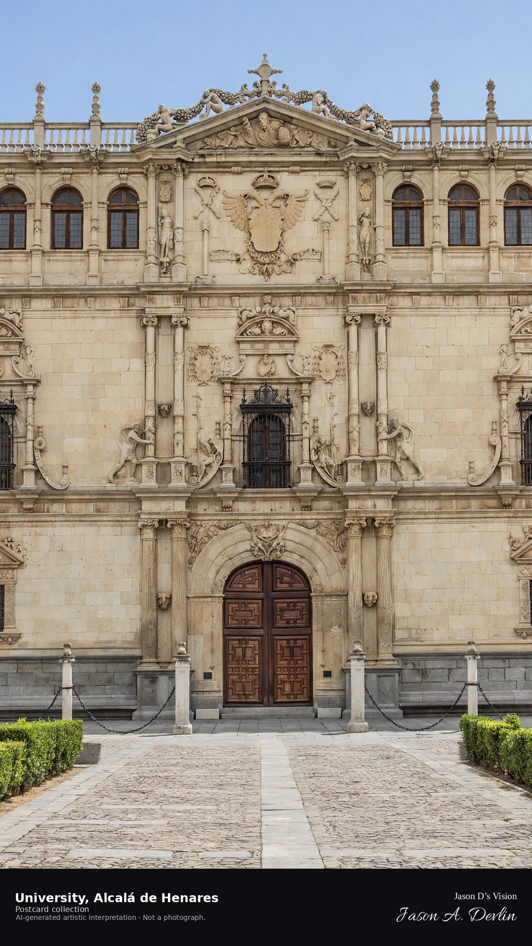
Night · University façade from the plaza, illuminated front and cloister · AI-generated artistic interpretation
From the plaza at night, the University of Alcalá's plateresque façade glows under the floodlights, its carved front brilliant against the dark. The cloister beyond lies in softer light, the old college quiet after centuries of scholars. The illuminated façade is a monument to learning, radiant in the night.
Scenario: 24 September 2026 · 06:24 Europe/Madrid
Night
Viewpoint, conditions & editions
Plaza before the university façade (approx 40.4827N, 3.3635W)
16.3°C, weather code 0 (clear), cloud 0%, precipitation 0 mm, wind 4.2 km/h. Sunrise 08:02, sunset 20:07. Scenario minute 06:24 falls inside the 06:00 model-valid hour.
The university façade's night illumination is not documented for this specific hour, so the scene uses a warm lit treatment without claiming a specific lighting scheme. Detail is interpretive. Camera point before the façade is a conventional viewpoint, not map-verified.
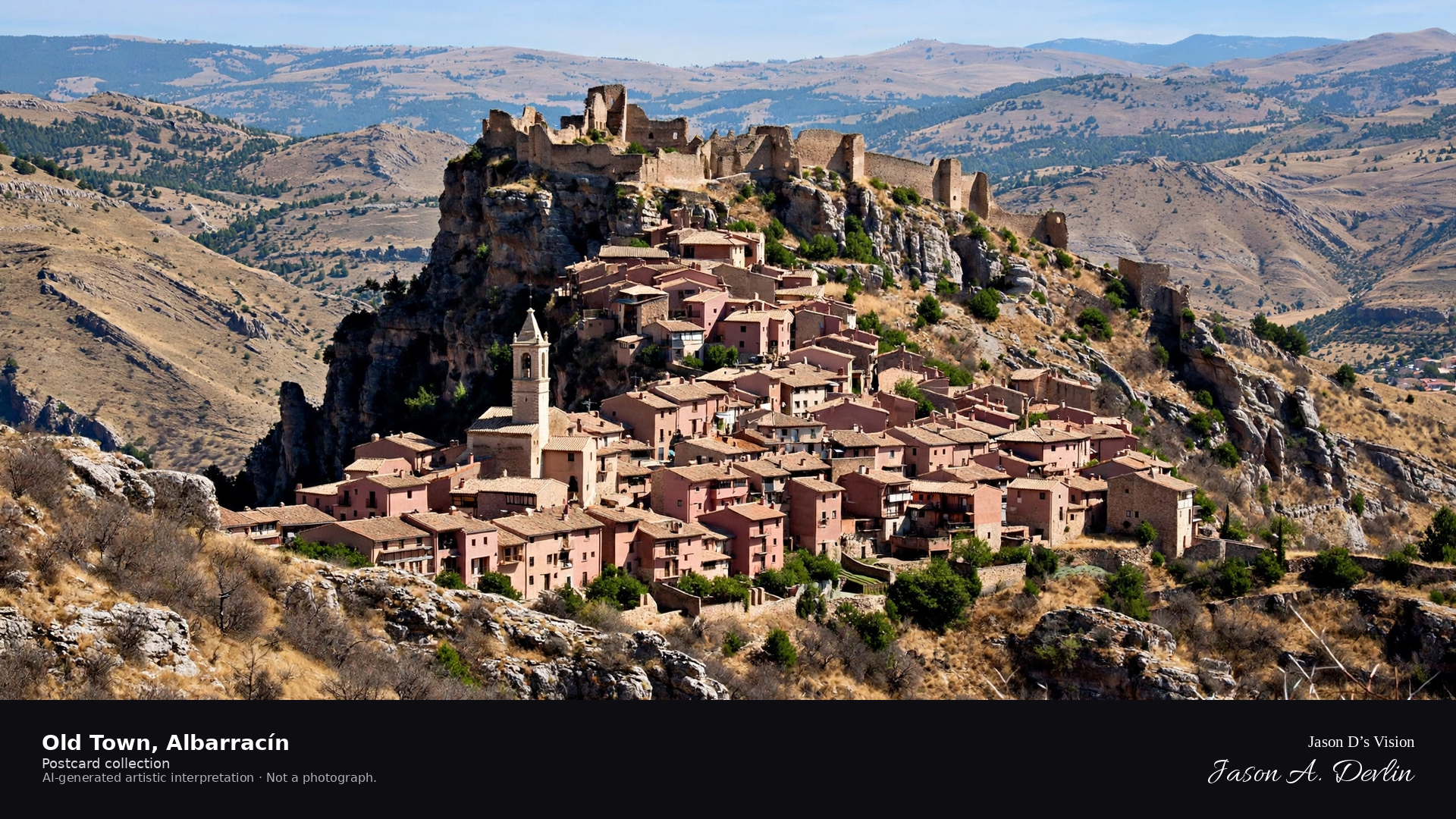
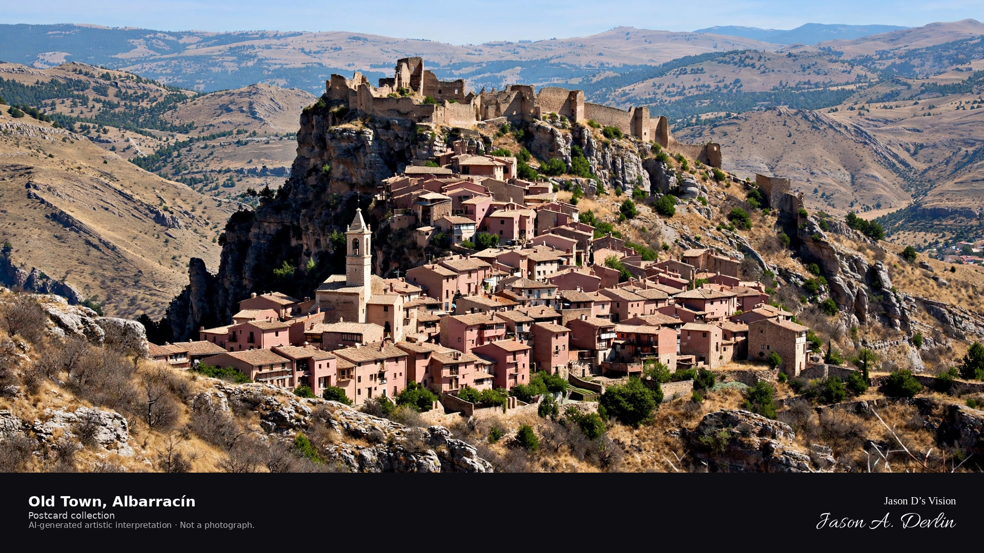
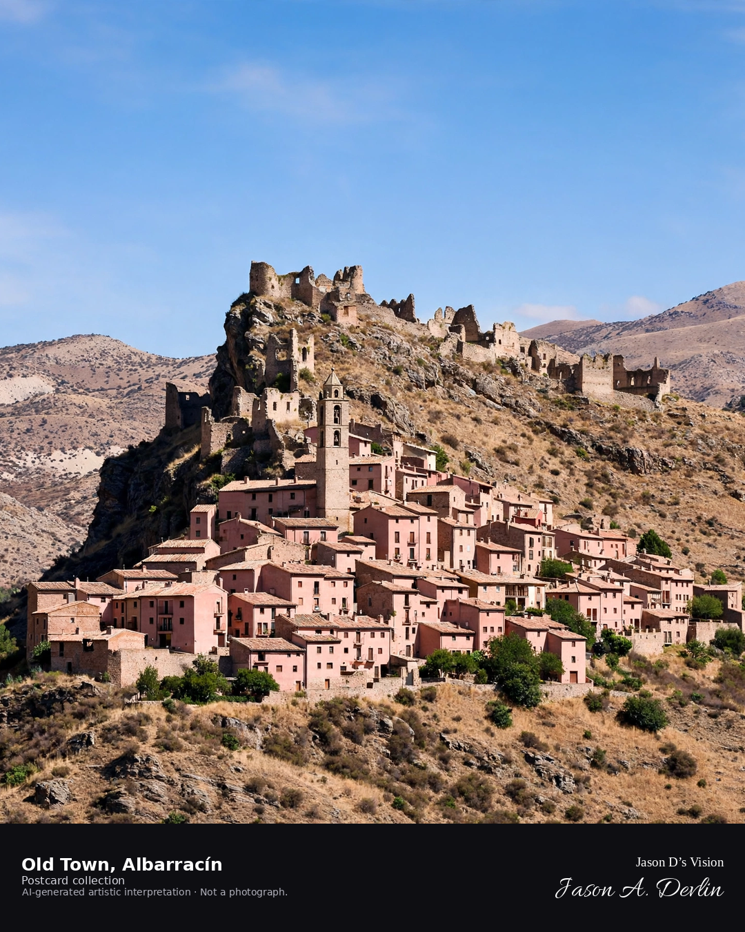
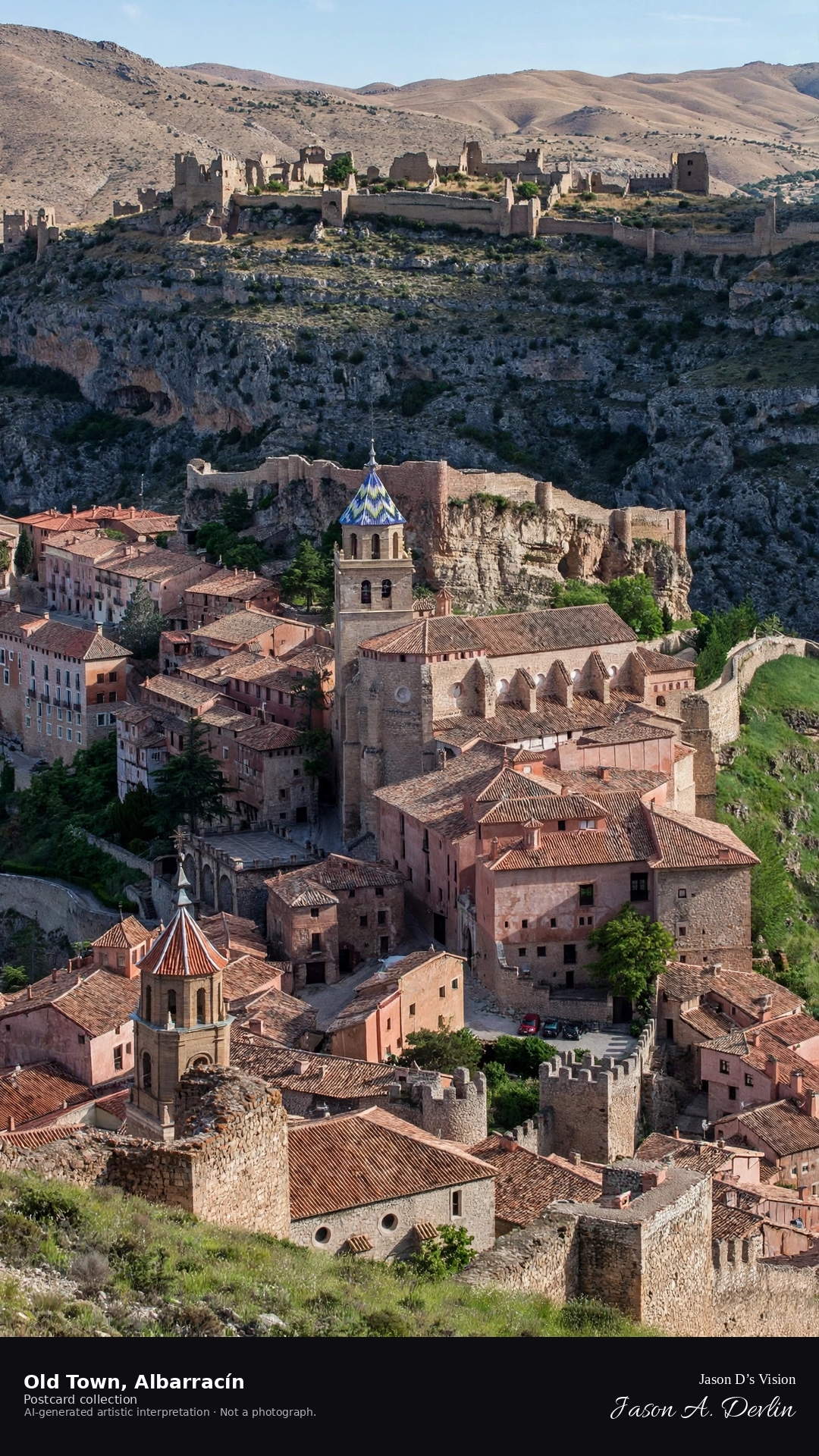
Night · Old town from the valley viewpoint, moonlit walls and dark alleys · AI-generated artistic interpretation
From the valley viewpoint at night, Albarracín's old town climbs its ridge in moonlight, the medieval walls tracing the hilltop. The pink-hued houses lie dark and quiet, alleys hidden in shadow, while the walls catch the moon's silver. Below, the Guadalaviar valley sleeps; above, the walled town keeps its ancient silhouette.
Scenario: 24 September 2026 · 06:32 Europe/Madrid
Night
Viewpoint, conditions & editions
Valley viewpoint before the old town (approx 40.4078N, 1.4442W)
12.3°C, weather code 0 (clear), cloud 0%, precipitation 0 mm, wind 6.6 km/h. Sunrise 07:55, sunset 19:59. Scenario minute 06:32 falls inside the 06:00 model-valid hour.
No night illumination of the old town is documented, so the scene uses an honest mostly dark treatment — no floodlighting is claimed. Town and wall detail are interpretive. Camera point from the valley is a conventional viewpoint, not map-verified.
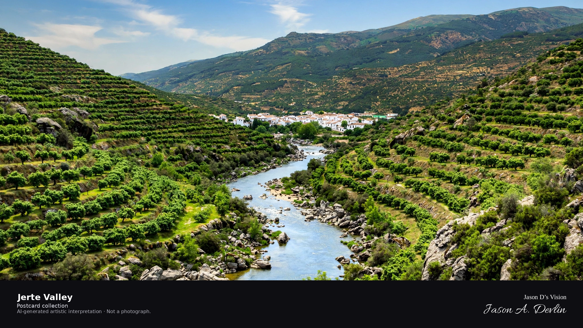
Night · Valley from the hillside viewpoint, moonlit gorge and dark orchards · AI-generated artistic interpretation
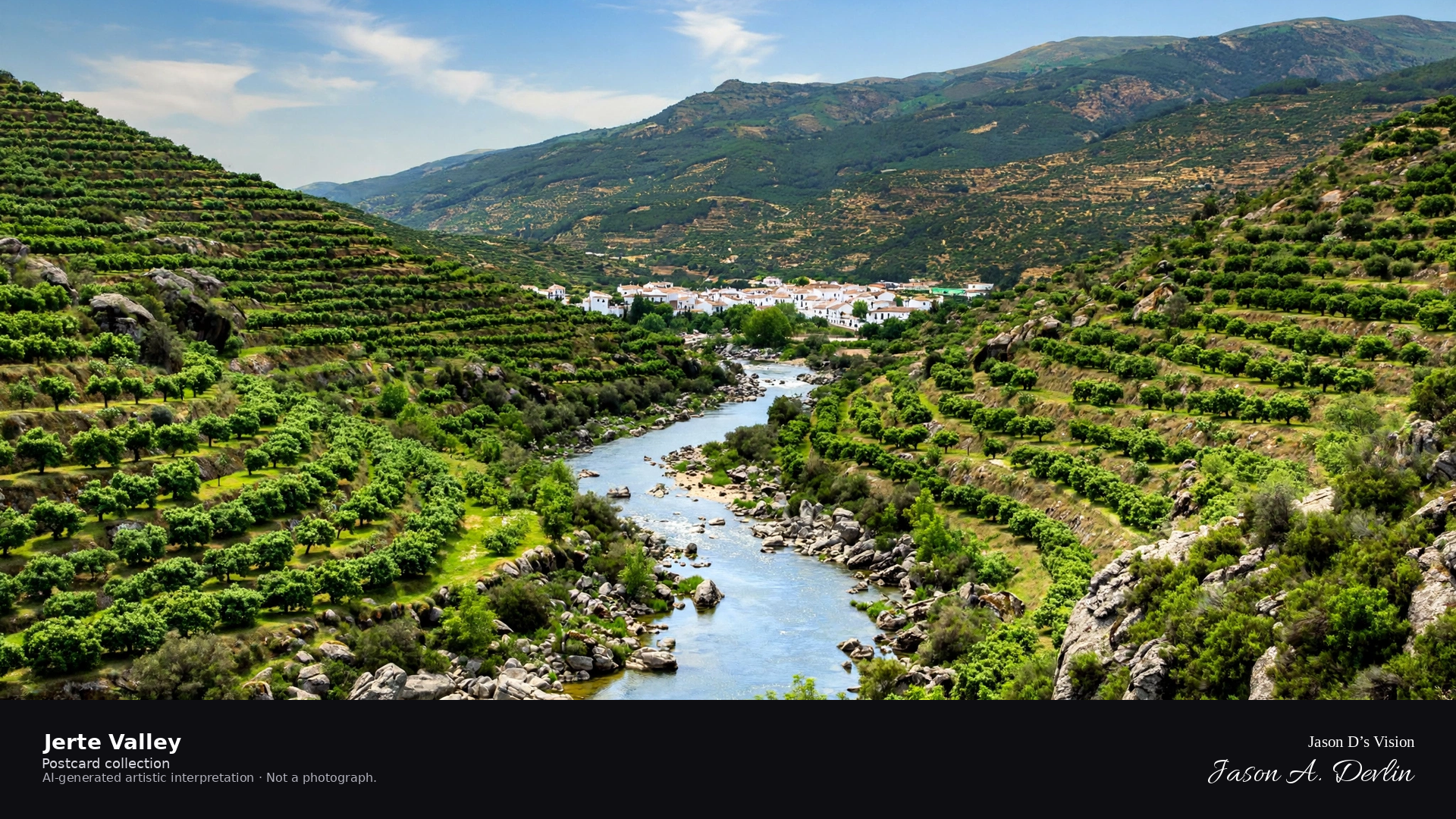
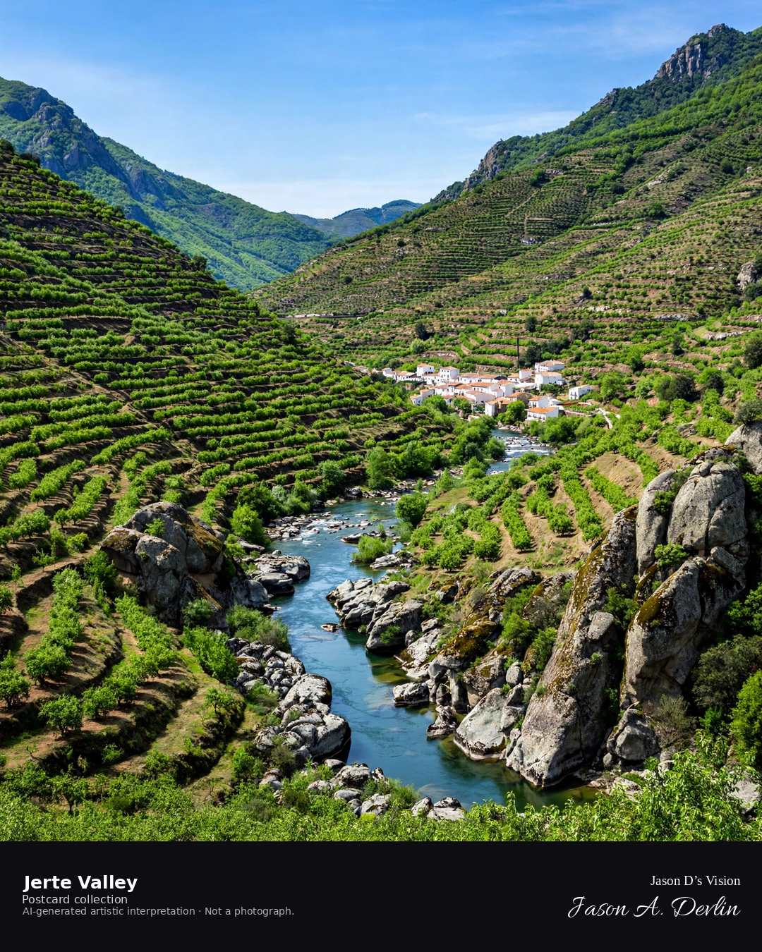
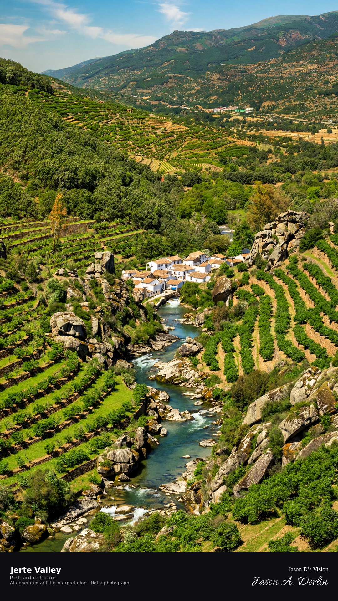
From the hillside viewpoint at night, the Jerte valley falls away in moonlight, its gorge cutting dark between the slopes. The cherry orchards lie black and silent on the hillsides, a few scattered village lights below. Moonlight lays a pale wash over the valley, the night deep and still.
Scenario: 24 September 2026 · 06:40 Europe/Madrid
Night
Viewpoint, conditions & editions
Hillside viewpoint above the valley (approx 40.2204N, 5.7504W)
21.8°C, weather code 0 (clear), cloud 9%, precipitation 0 mm, wind 7.5 km/h. Sunrise 08:12, sunset 20:17. Scenario minute 06:40 falls inside the 06:00 model-valid hour.
No night illumination of the valley is documented, so the scene uses an honest moonlit treatment — no floodlighting is claimed. Cherry blossoms are seasonal (late March–early April) and are not depicted at this September scenario. Valley detail is interpretive. Camera point from the hillside is a conventional viewpoint, not map-verified.
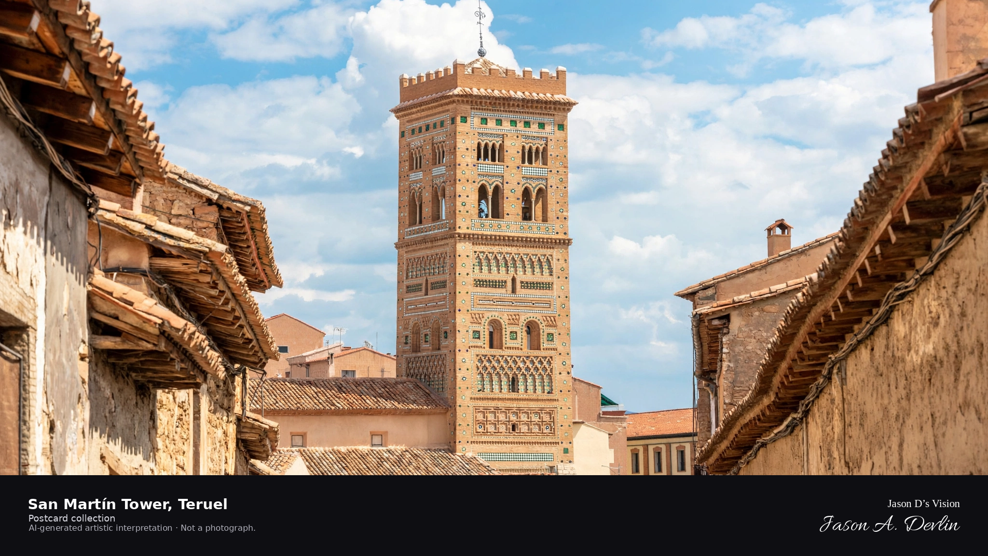
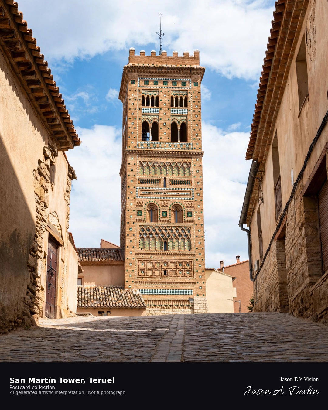
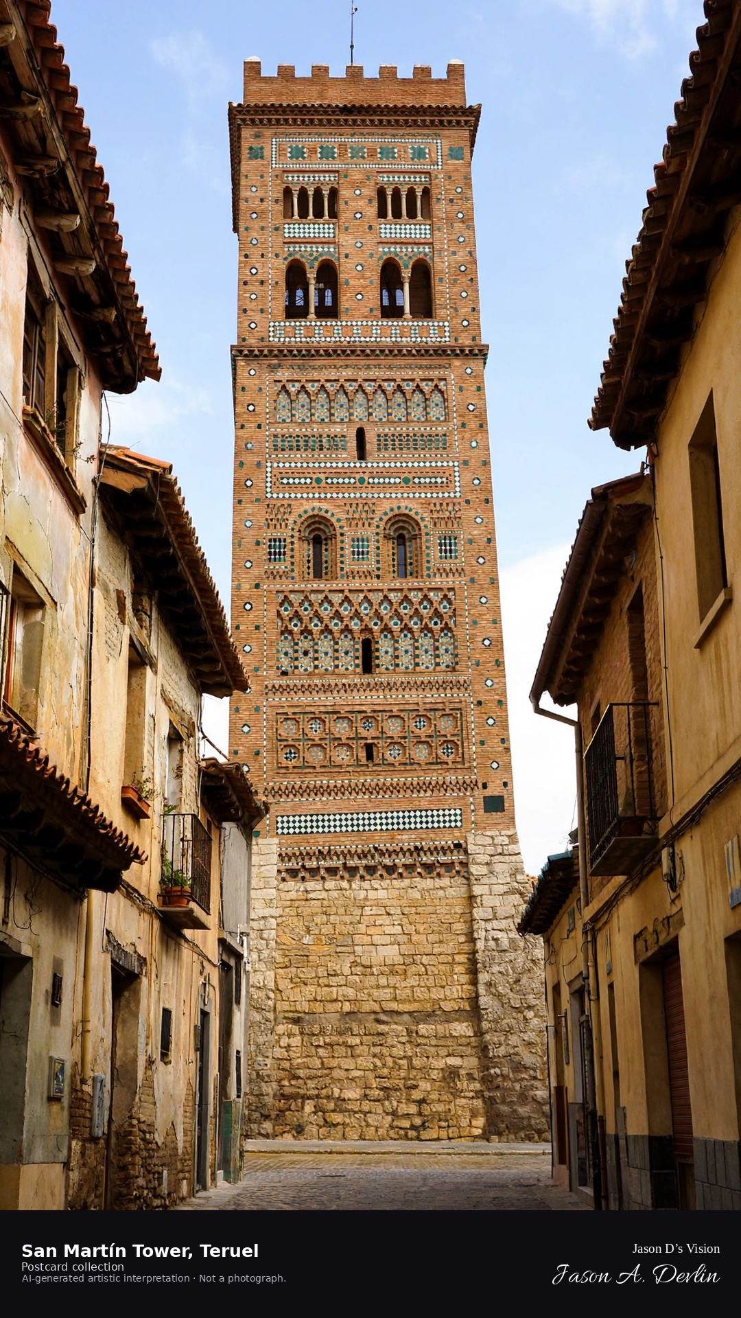
Night · Torre de San Martín from the cobbled street, lit tower and dark old town · AI-generated artistic interpretation
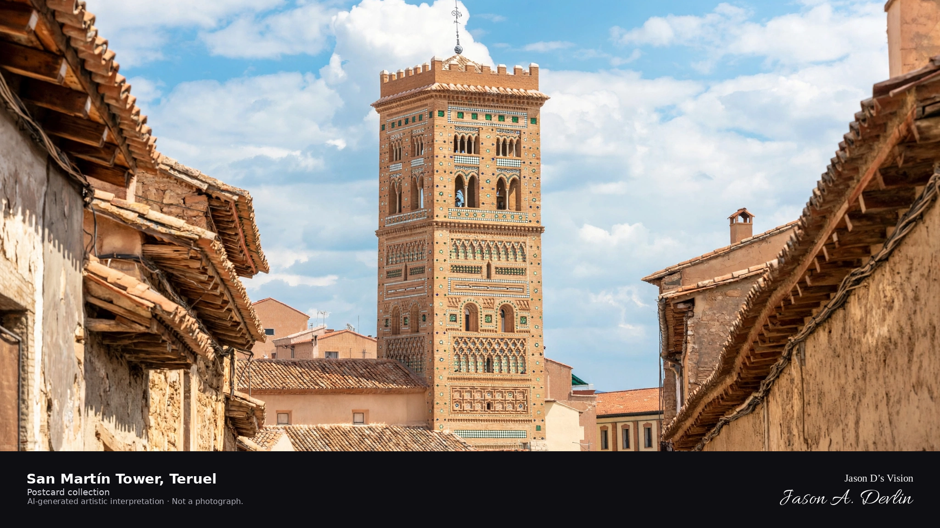
From the cobbled street at night, Teruel's Torre de San Martín rises floodlit, its Mudejar brickwork glowing against the dark sky. The glazed tiles and patterned brick shine under the lights while the old town sleeps in shadow around it. The tower stands as the quarter's luminous beacon, centuries of Mudejar craft lit for the night.
Scenario: 24 September 2026 · 06:48 Europe/Madrid
Night
Viewpoint, conditions & editions
Cobbled street before the Torre de San Martín (approx 40.3418N, 1.1072W)
12.8°C, weather code 0 (clear), cloud 14%, precipitation 0 mm, wind 2.3 km/h. Sunrise 07:53, sunset 19:58. Scenario minute 06:48 falls inside the 06:00 model-valid hour.
The tower's night lighting is documented in a visitor review, but is not verified for this specific hour. Tower and street detail are interpretive. Camera point before the tower is a conventional viewpoint, not map-verified.
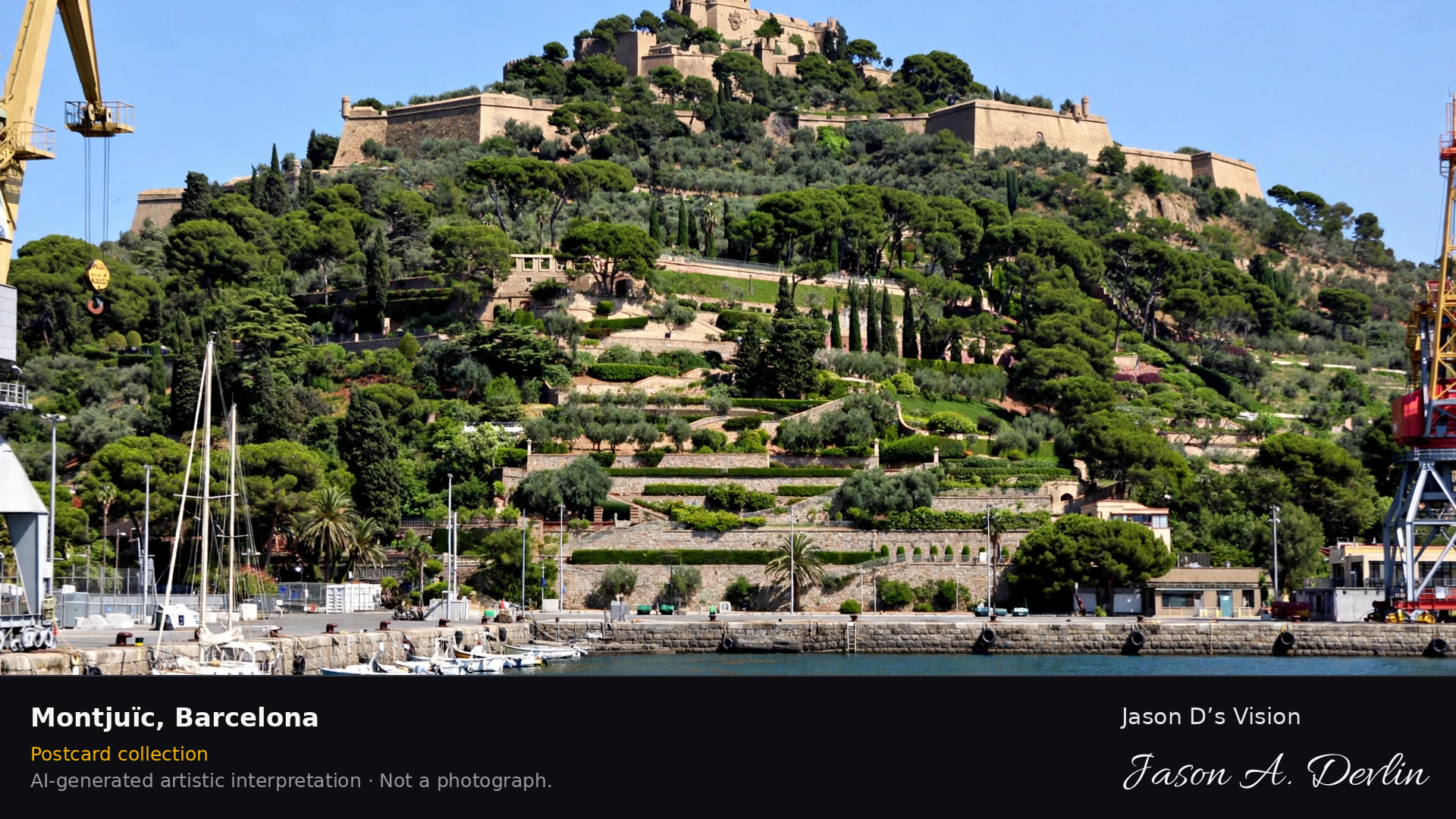
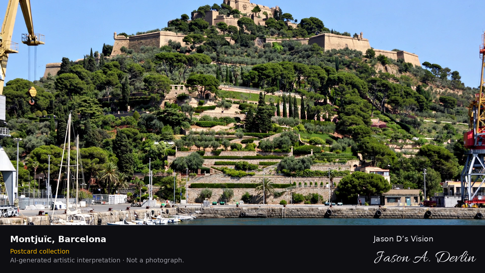
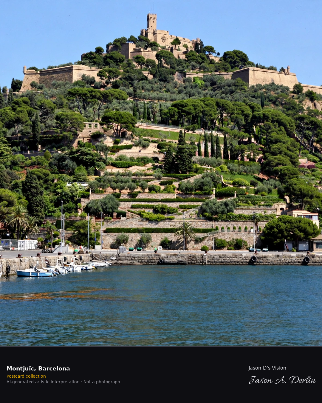
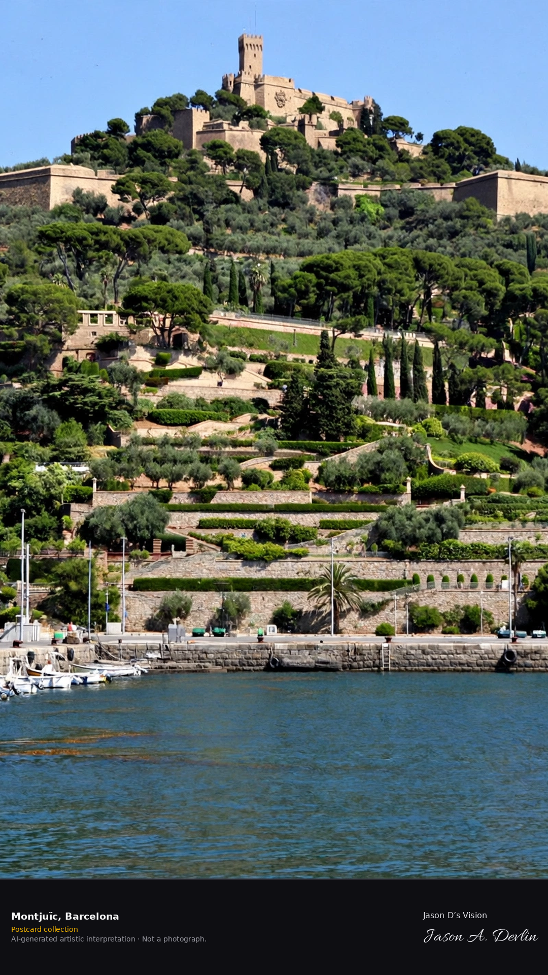
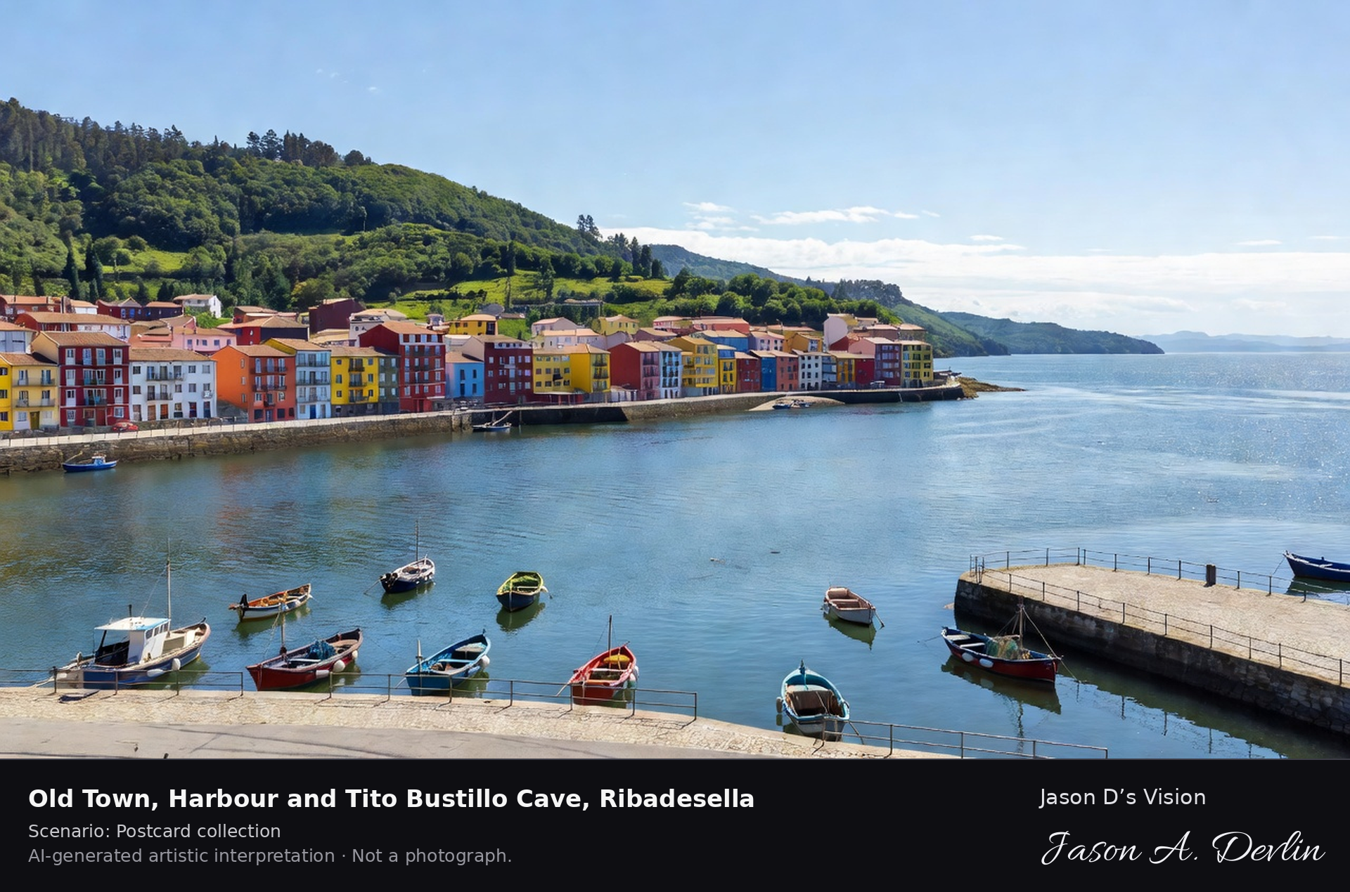
Morning daylight · Montjuïc Castle and the harbour from the sea · AI-generated artistic interpretation
Montjuïc Castle crowns its wooded hill above the harbour, the old fortress looking out over the port and the open Mediterranean. Below the castle walls the harbour cranes and marina spread along the shore, with the city climbing away behind. Barcelona's green hill has watched over its port for centuries.
Postcard collection
Morning daylight
Viewpoint, conditions & editions
From the harbour, looking up at Montjuïc Castle on its hill (approx 41.3639N, 2.1649E)
Genuine Night view: 6 November 2026 · 21:52 Europe/Madrid — 12.7°C, weather code 2 (partly cloudy), cloud 46%, wind 3.9 km/h. Generated at real nightfall; the castle is floodlit in reality (the castle's own visitor information).
Castle and harbour detail are interpretive. Camera point over the harbour is a conventional viewpoint, not map-verified.
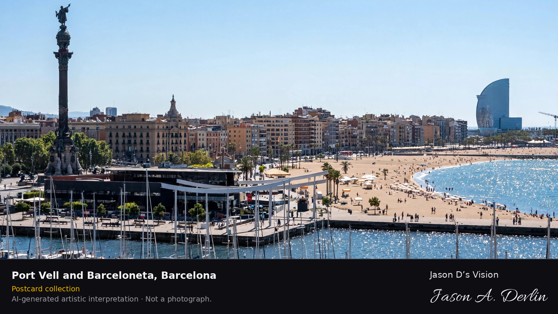
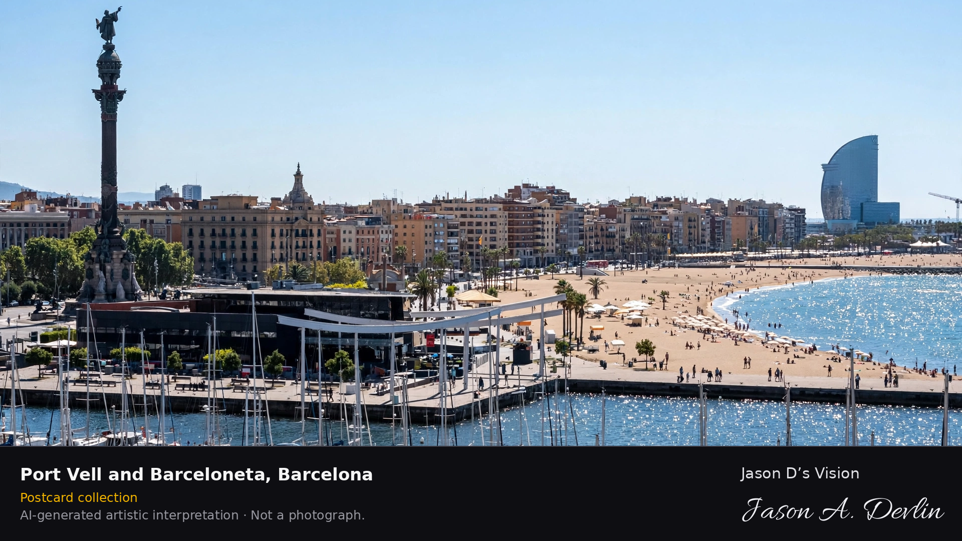
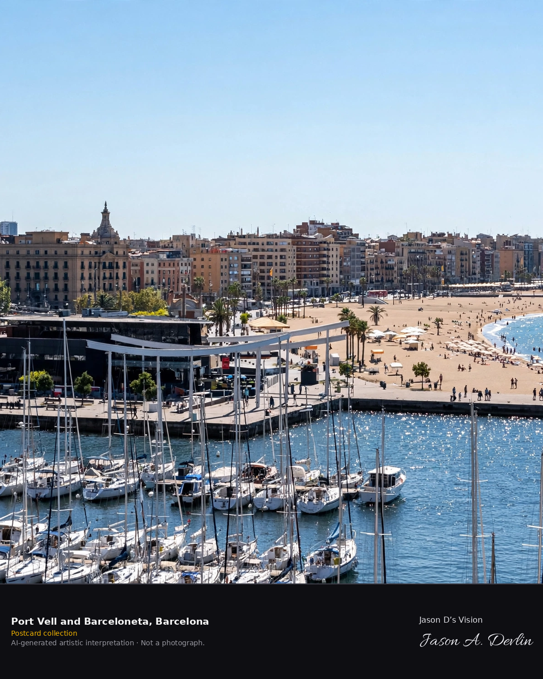
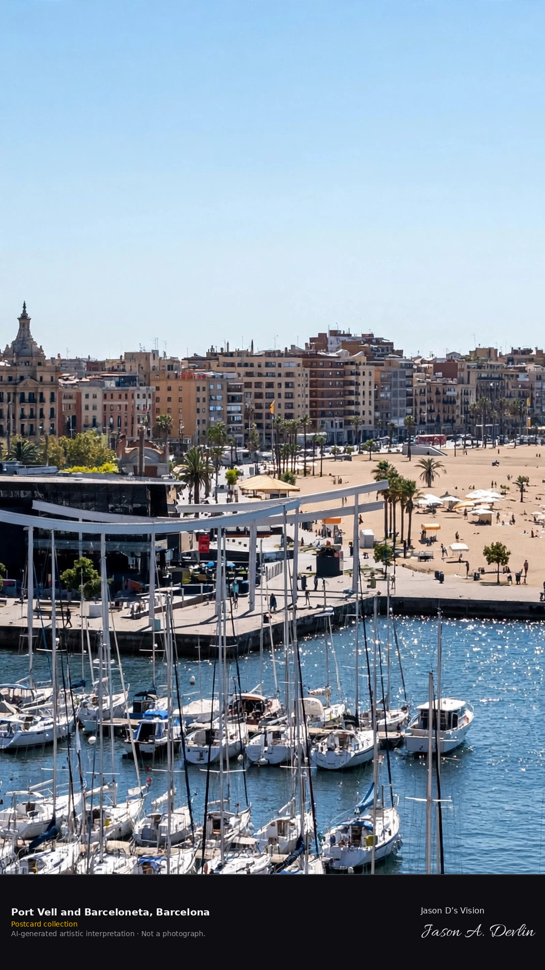
Morning daylight · Port Vell marina, the Columbus Monument and the Barceloneta beach · AI-generated artistic interpretation
The Columbus Monument stands at the harbour's edge, its tall column watching over the marina of Port Vell. Yachts crowd the old port while the Barceloneta beach curves away to the east, the W hotel's sail rising at its far end. The city's working harbour and its beach meet along this one waterfront.
Postcard collection
Morning daylight
Viewpoint, conditions & editions
Over Port Vell, with the Columbus Monument to the left and the Barceloneta beach beyond (approx 41.3755N, 2.1800E)
Genuine Night view: 6 November 2026 · 21:54 Europe/Madrid — 15.6°C, weather code 2 (partly cloudy), cloud 65%, wind 6.2 km/h. Generated at real nightfall; the Columbus Monument, Maremagnum and the W hotel are lit in reality.
Marina and beach detail are interpretive. Camera point over the harbour is a conventional viewpoint, not map-verified.
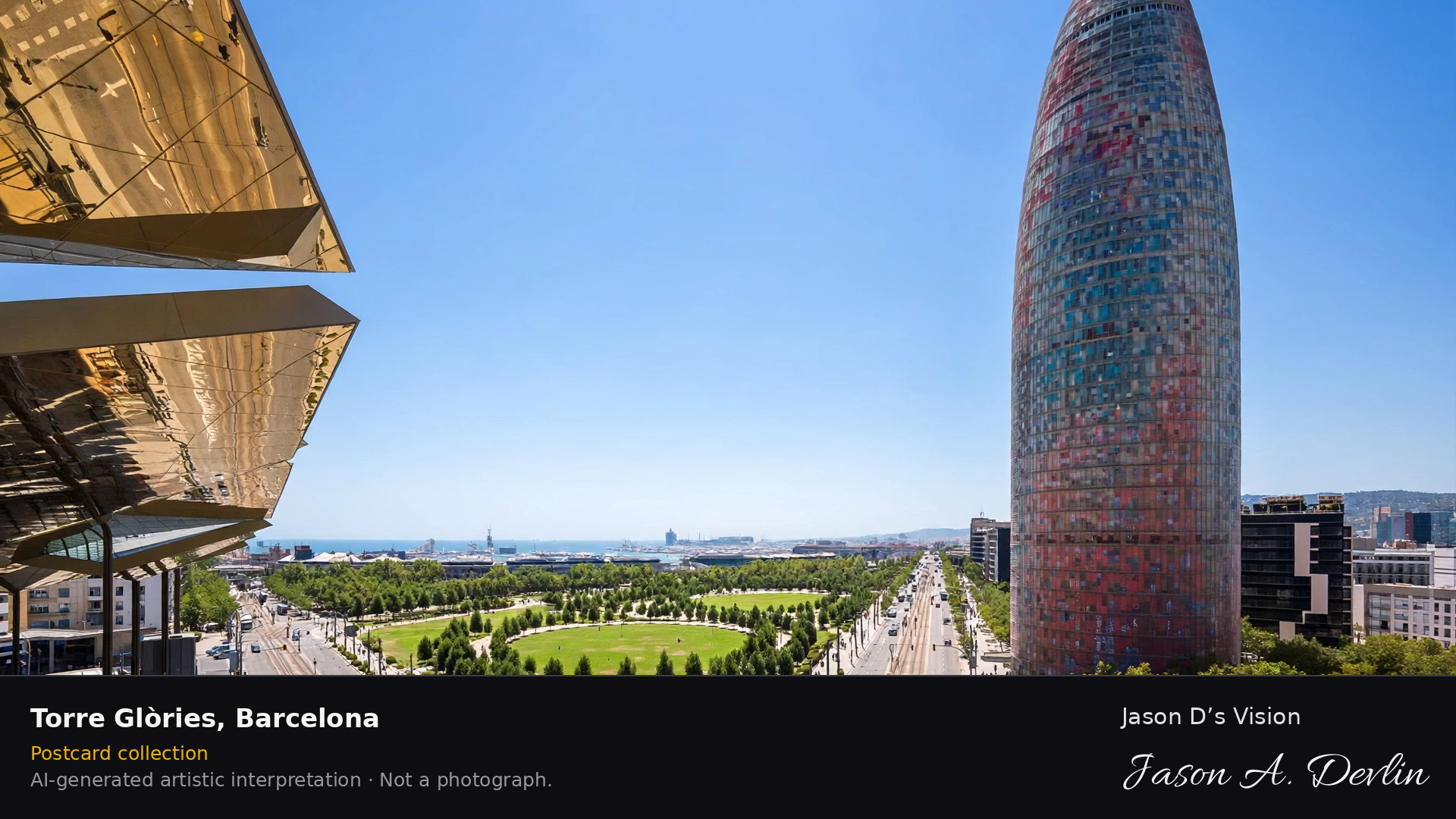
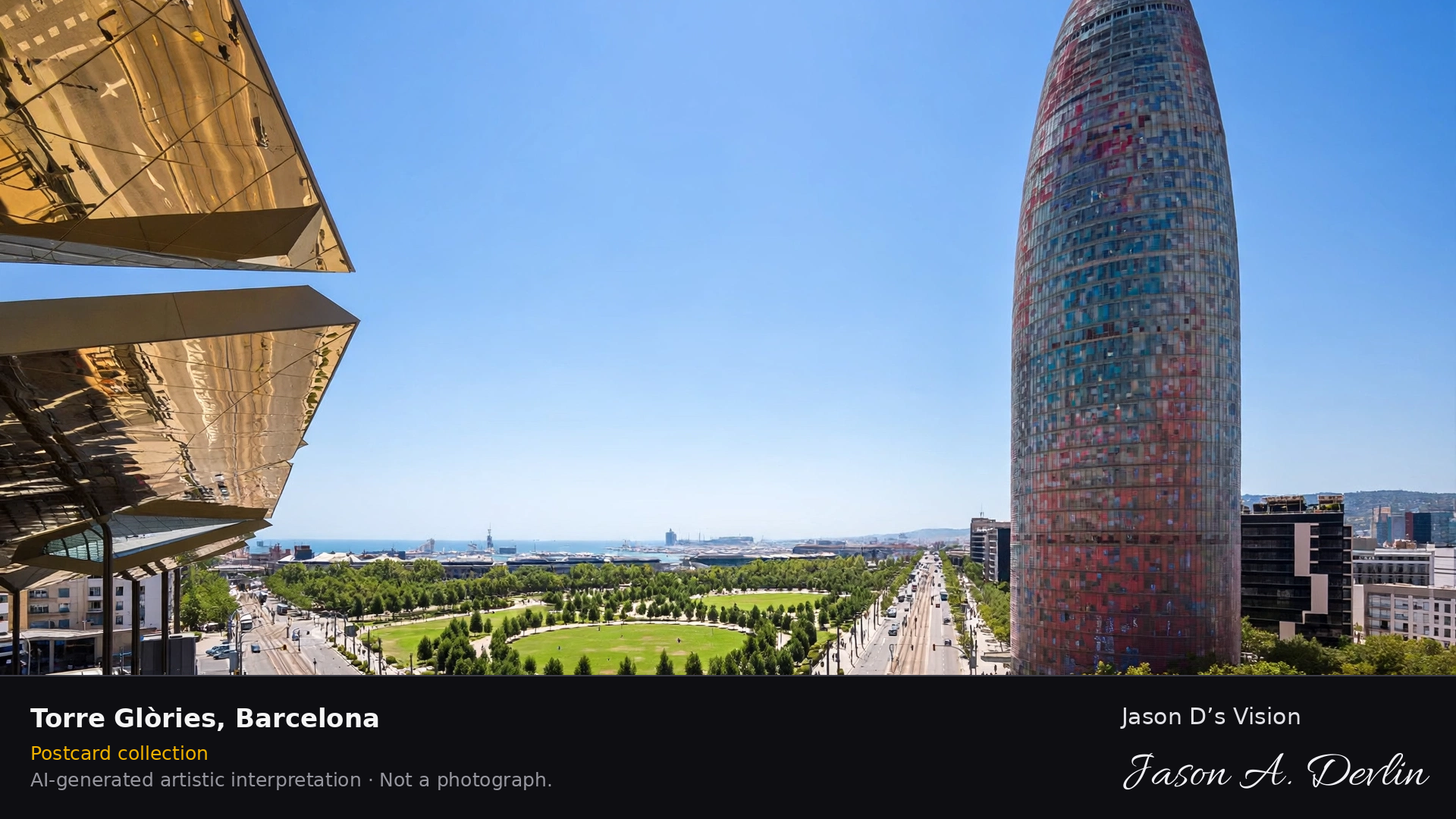
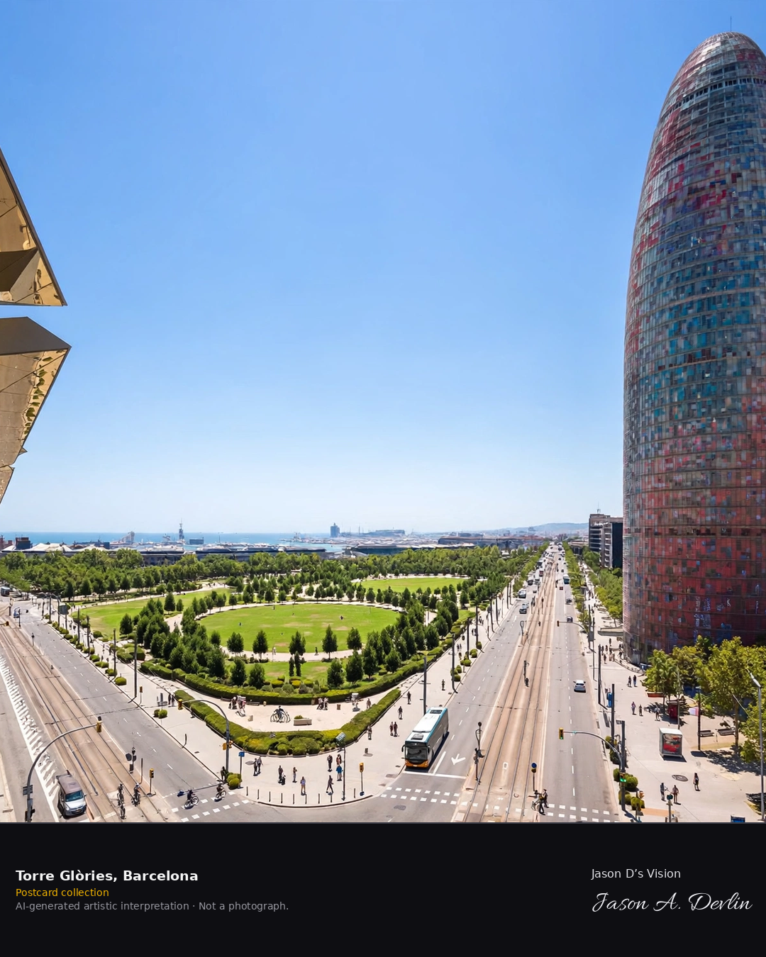
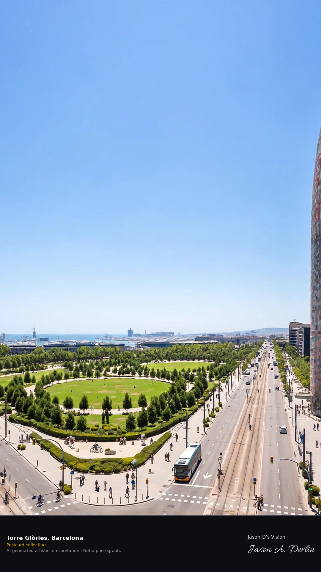
Midday daylight · Torre Glòries over the Glòries oval and the Encants market · AI-generated artistic interpretation
The Torre Glòries rises bullet-shaped over the Glòries oval, its glass skin shading from blue to red above the junction. At its feet the golden canopy of the Encants market folds across the square, with the tram lines circling the plaza. Jean Nouvel's tower is the landmark of Barcelona's technology district, glowing red and blue on programmed nights.
Postcard collection
Midday daylight
Viewpoint, conditions & editions
Over the Glòries oval, looking at the Torre Glòries with the Encants market canopy below (approx 41.4036N, 2.1895E)
Genuine Night view: 6 November 2026 · 21:56 Europe/Madrid — 15.6°C, weather code 2 (partly cloudy), cloud 65%, wind 6.2 km/h. Generated at real nightfall; the tower's red-and-blue LED programme runs on Friday to Sunday evenings and holidays in winter, 20:00–23:00, and 6 November 2026 is a Friday.
Tower and plaza detail are interpretive. Camera point over the oval is a conventional viewpoint, not map-verified.
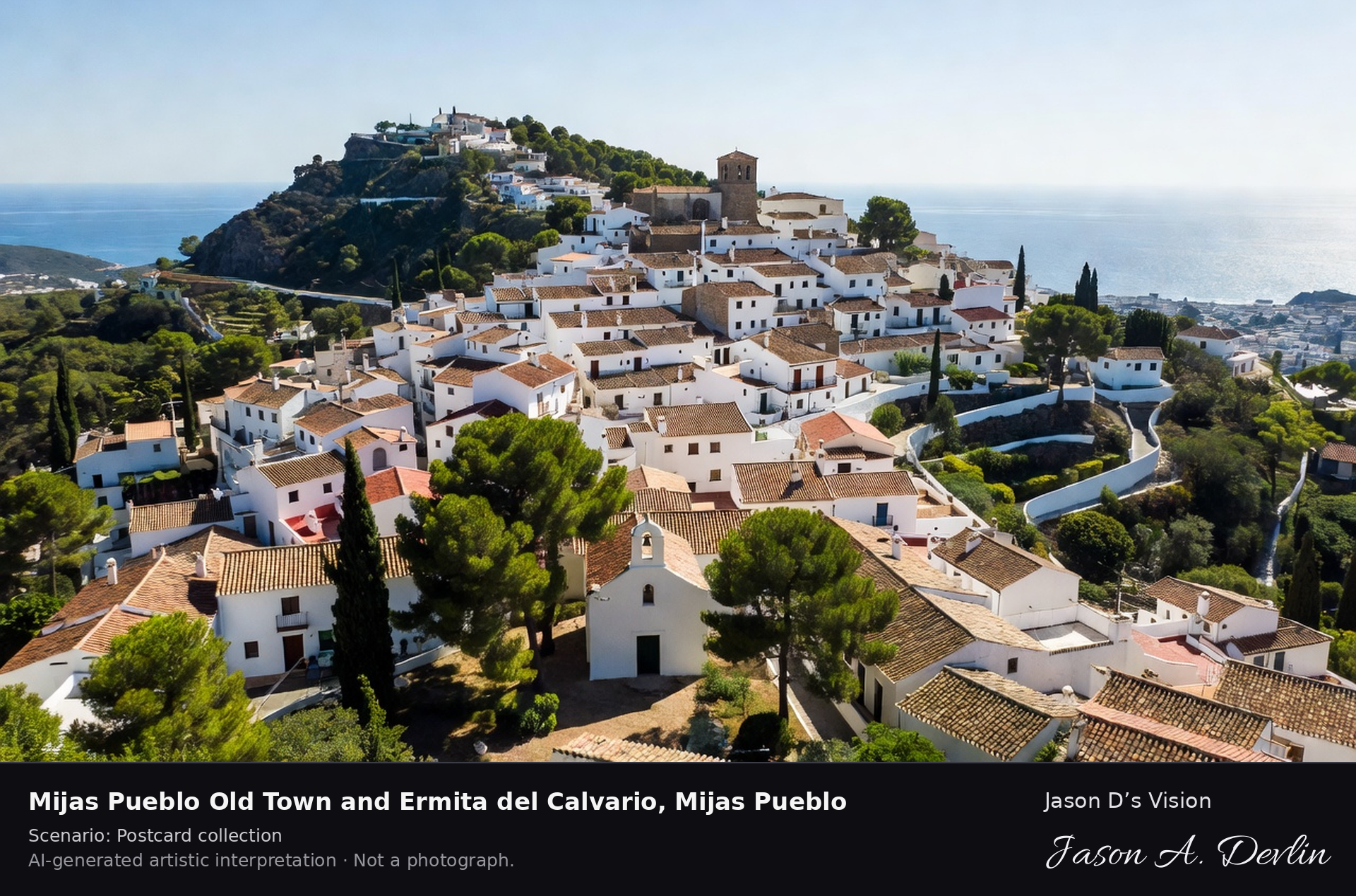
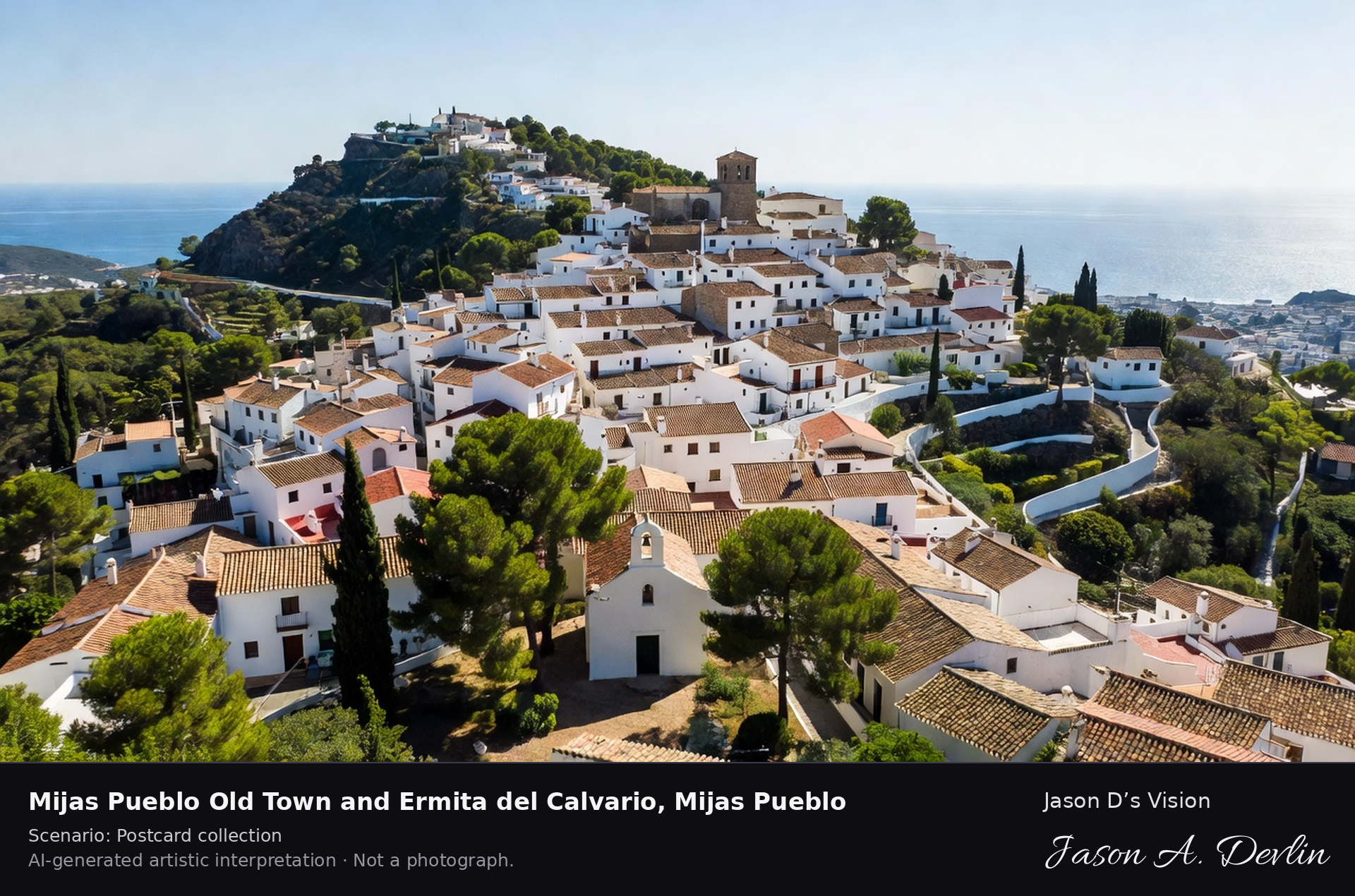
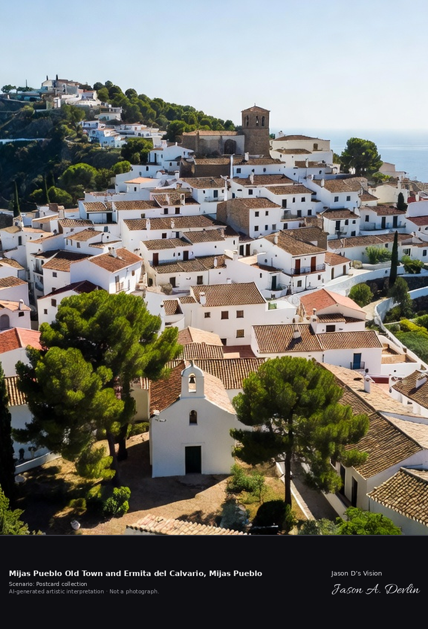
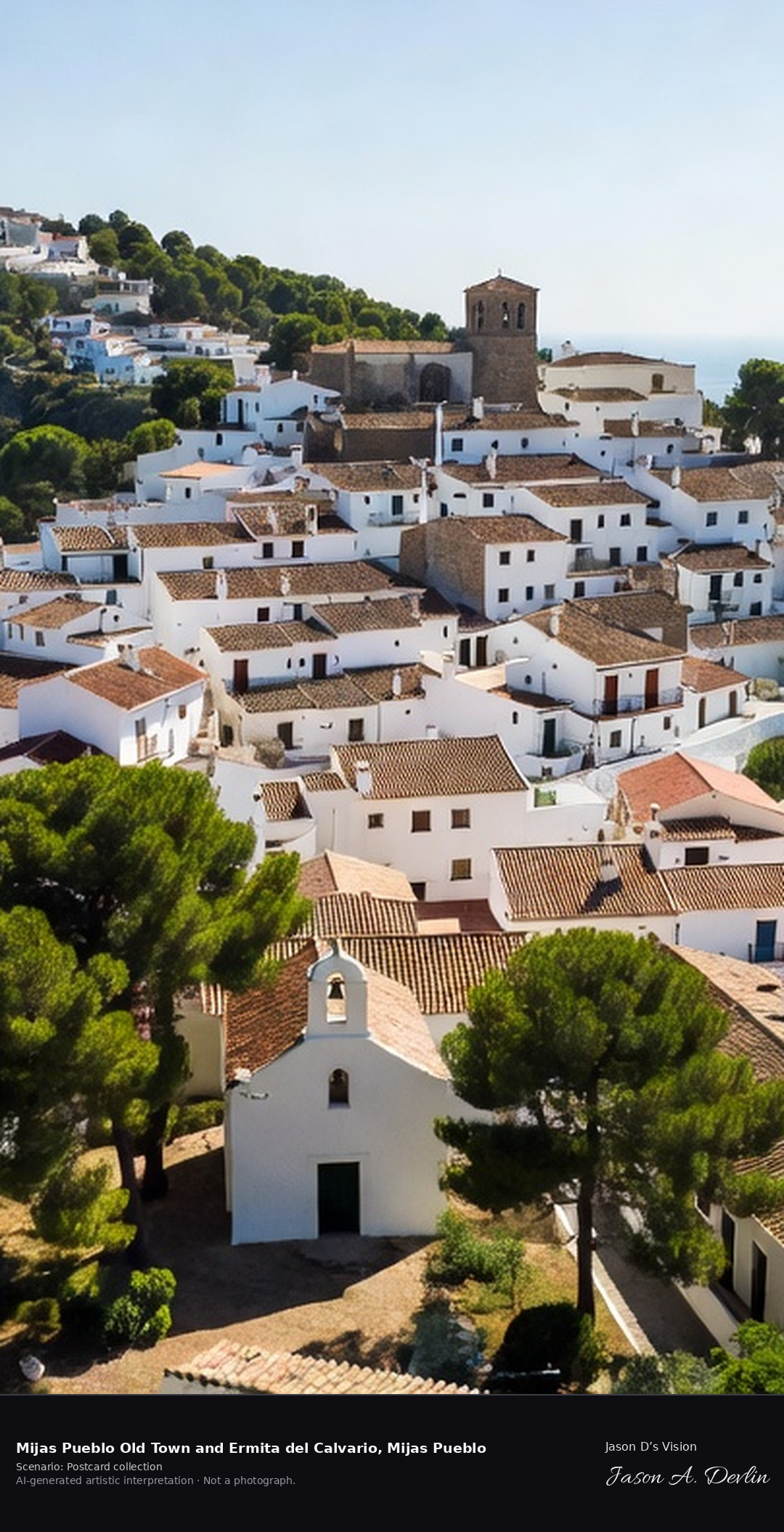
Mijas Pueblo Old Town and Ermita del Calvario, Mijas Pueblo
White village old town & Ermita del Calvario viewpoint · AI-generated artistic interpretation
Mijas Pueblo is the classic pueblo blanco above the Costa del Sol, a tangle of whitewashed lanes, blue flowerpots and viewpoints on the slopes of the Sierra de Mijas. Above the village, a short climb past the Stations of the Cross reaches the small white Ermita del Calvario, built by Carmelite friars, looking down over the rooftops to Fuengirola and the Mediterranean. A fresh retrieval for this spot on 7 November 2026 recorded 15.7 °C, overcast (WMO code 3), cloud cover 53%, wind 3.9 km/h.
Postcard collection
Daylight
Viewpoint, conditions & editions
View from the Sierra slope: whitewashed old town clustered below, small white Ermita del Calvario chapel with bell gable among pines in foreground, Fuengirola coast and Mediterranean beyond. Reference-reported camera 36.597420 N, 4.636510 W; exact generated camera correspondence is unverified.
15.7°C, weather code 3 (overcast), cloud 53%, wind 3.9 km/h. Per-scene Open-Meteo retrieval 2026-11-07T19:24:17.214479+00:00 for the scene's own coordinates.
Downloads carry the finished label bar: caption, scenario and AI disclosure on the left, “Jason D’s Vision” with the script signature on the right.
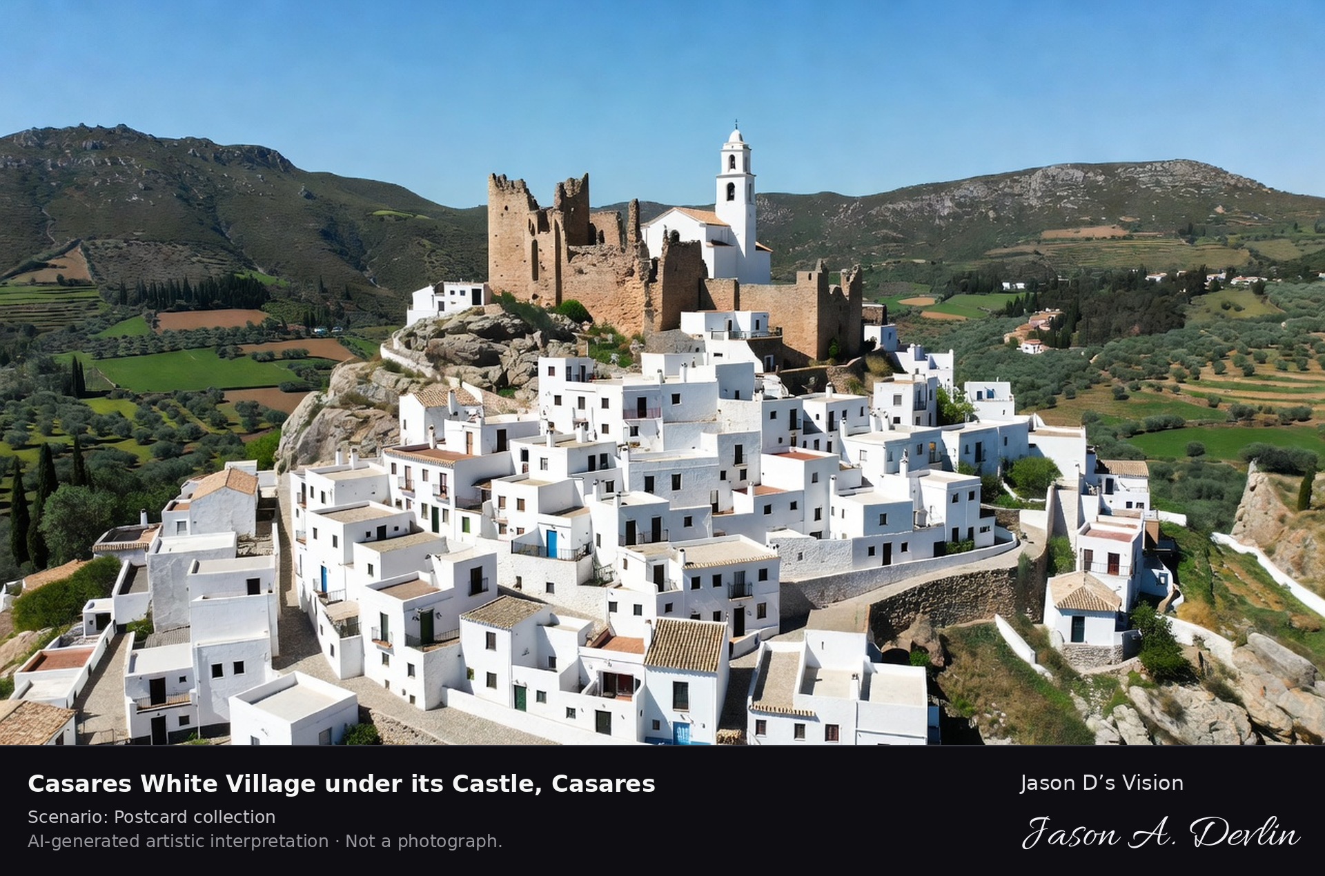
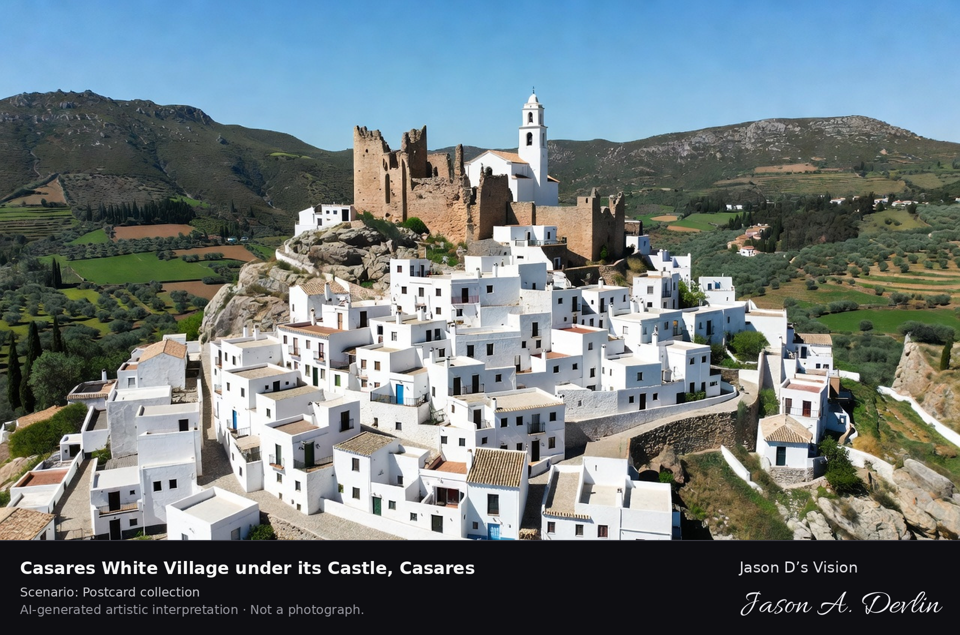
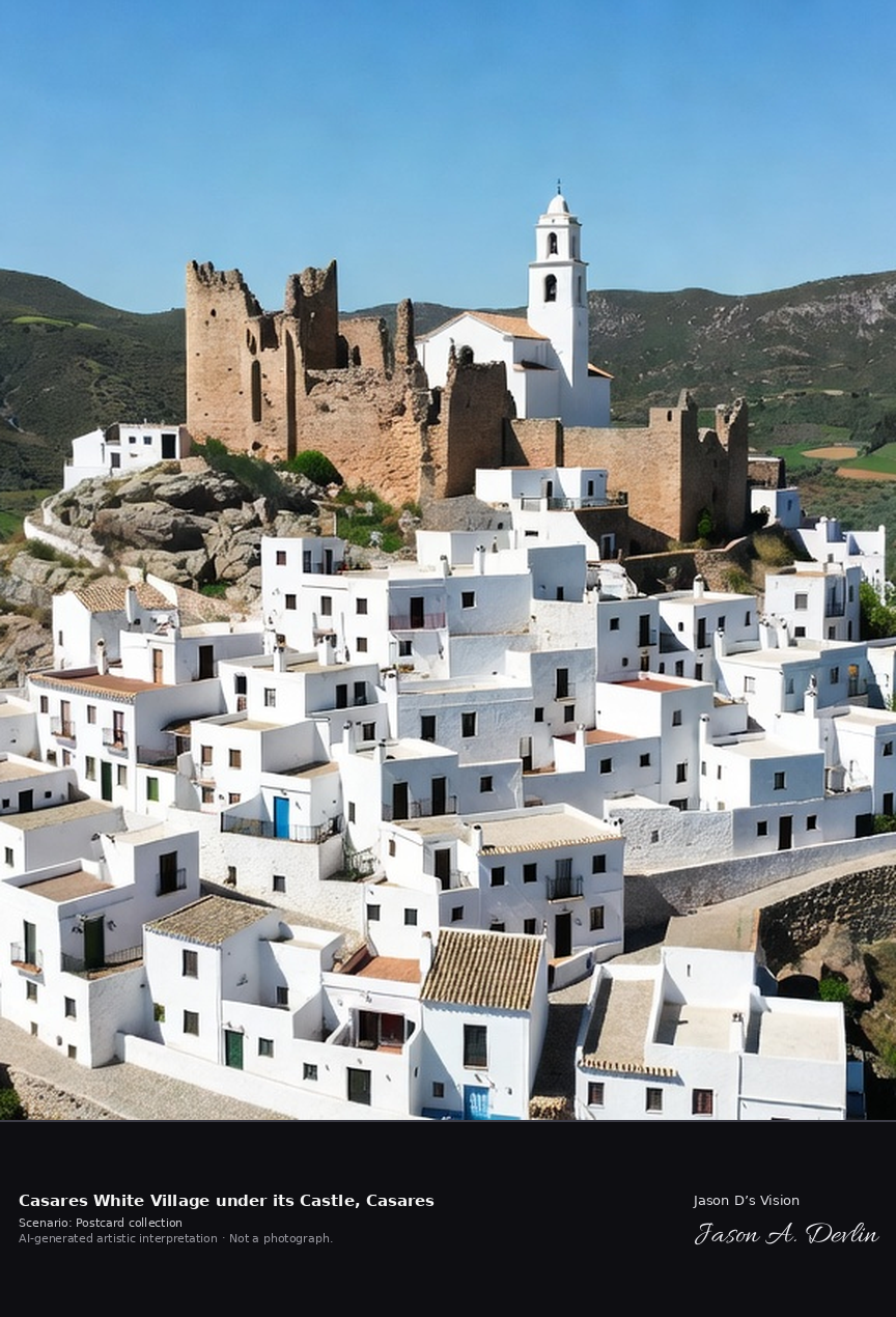
White village under its castle · AI-generated artistic interpretation
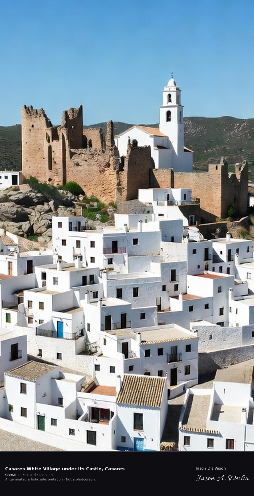
Casares piles its whitewashed houses up a rocky crag beneath the ruins of its thirteenth-century Moorish castle and the church of La Encarnacion, in a townscape protected as a Historic-Artistic Site since 1978. It is the birthplace of Blas Infante, regarded as the father of Andalusian nationalism, whose birthplace house is now a museum. A fresh retrieval for this spot on 7 November 2026 recorded 16.3 °C, partly cloudy (WMO code 2), cloud cover 75%, wind 6.2 km/h.
Postcard collection
Daylight
Viewpoint, conditions & editions
Classic postcard view across the valley: near-vertical stack of white cube houses climbing a crag, ruined Moorish castle walls and Encarnacion church at the summit, green Genal valley below. Reference-reported camera 36.447250 N, 5.272990 W; exact generated camera correspondence is unverified.
16.3°C, weather code 2 (partly cloudy), cloud 75%, wind 6.2 km/h. Per-scene Open-Meteo retrieval 2026-11-07T19:24:29.841259+00:00 for the scene's own coordinates.
Downloads carry the finished label bar: caption, scenario and AI disclosure on the left, “Jason D’s Vision” with the script signature on the right.
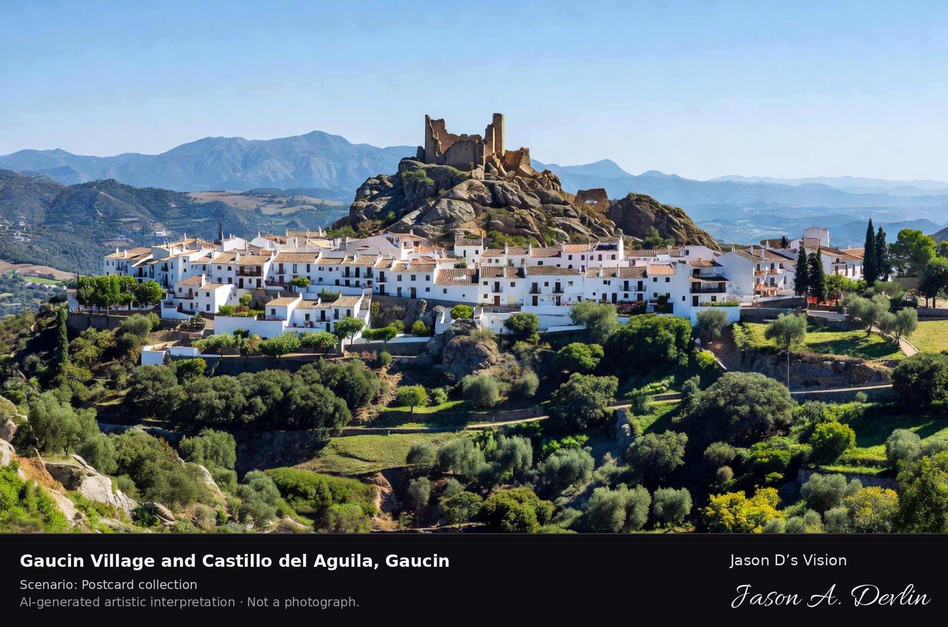
Village & Castillo del Águila viewpoint · AI-generated artistic interpretation
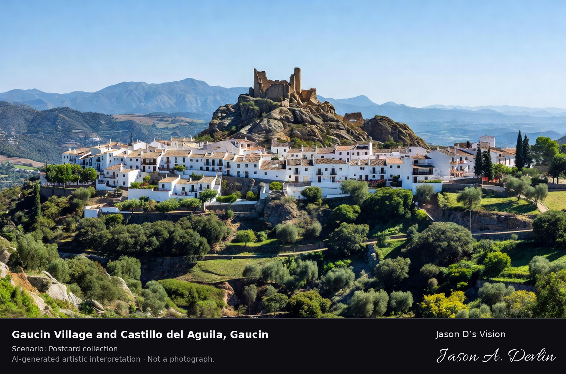
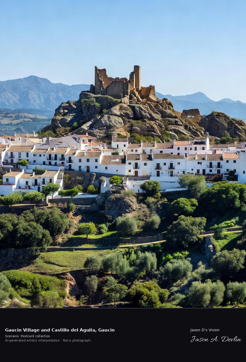
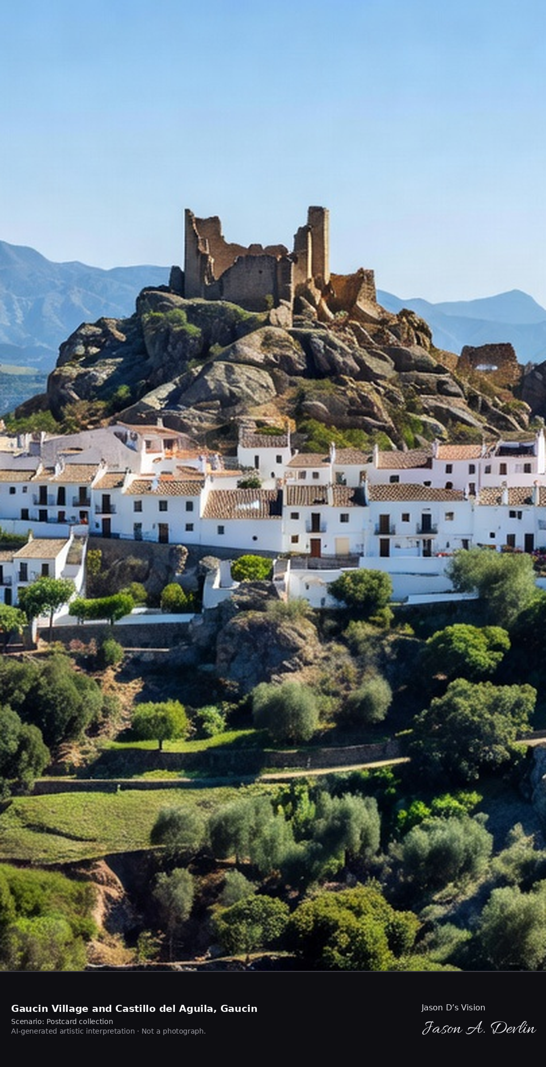
Gaucin is called the Balcony of the Serrania de Ronda: a white village spread over a ridge beneath the ruined Castillo del Aguila, the Castle of the Eagle. From its viewpoints the Genal valley falls away toward Gibraltar and, on clear days, the Rif mountains of Africa. A fresh retrieval for this spot on 7 November 2026 recorded 12.3 °C, partly cloudy (WMO code 2), cloud cover 77%, wind 4.2 km/h.
Postcard collection
Daylight
Viewpoint, conditions & editions
White village spread over a ridge, Castillo del Aguila ruins on the rocky peak above it, Genal valley and Serrania de Ronda ranges rolling away toward Gibraltar. Reference-reported camera 36.519880 N, 5.324750 W; exact generated camera correspondence is unverified.
12.3°C, weather code 2 (partly cloudy), cloud 77%, wind 4.2 km/h. Per-scene Open-Meteo retrieval 2026-11-07T19:24:43.543308+00:00 for the scene's own coordinates.
Downloads carry the finished label bar: caption, scenario and AI disclosure on the left, “Jason D’s Vision” with the script signature on the right.
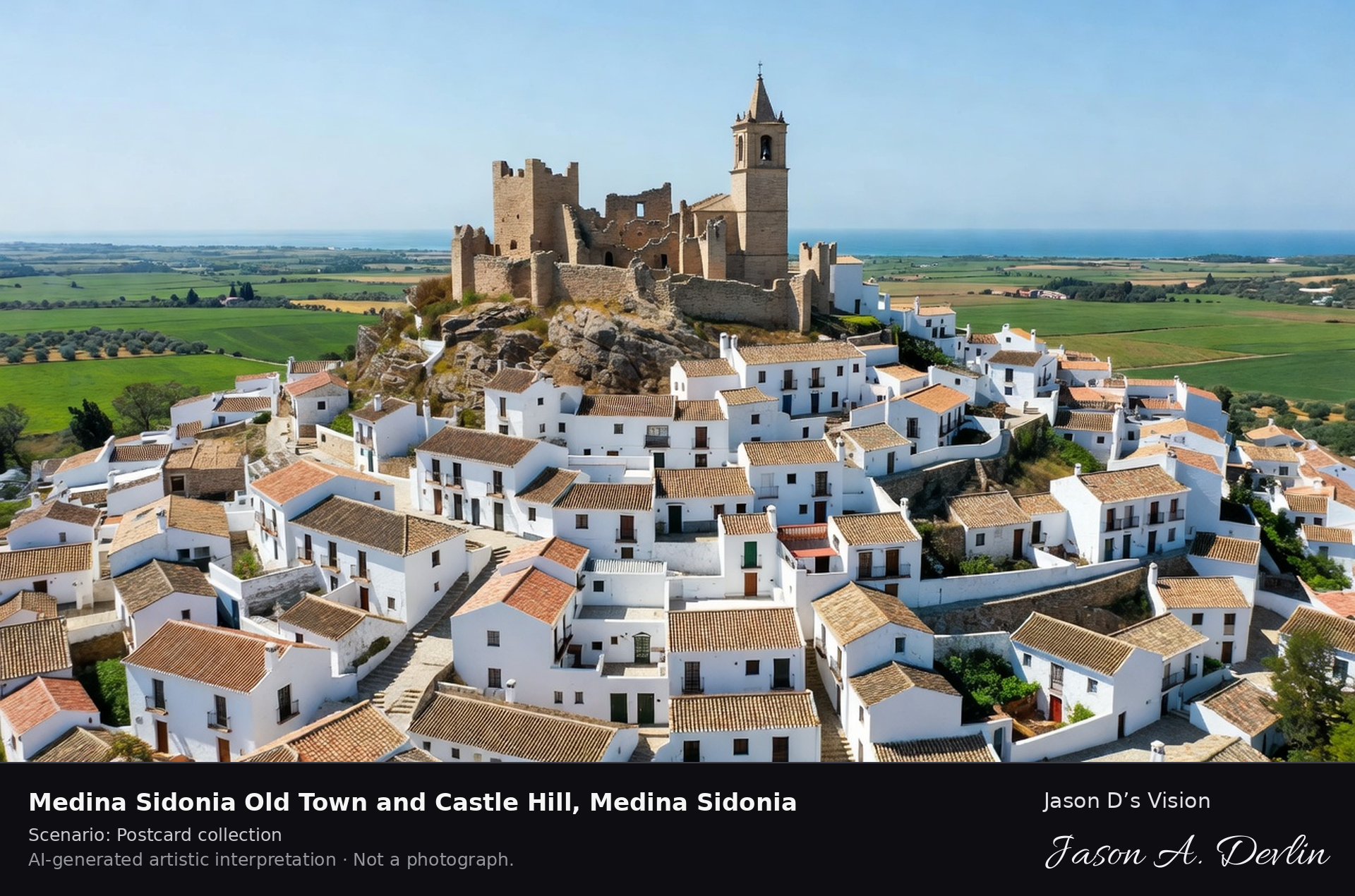
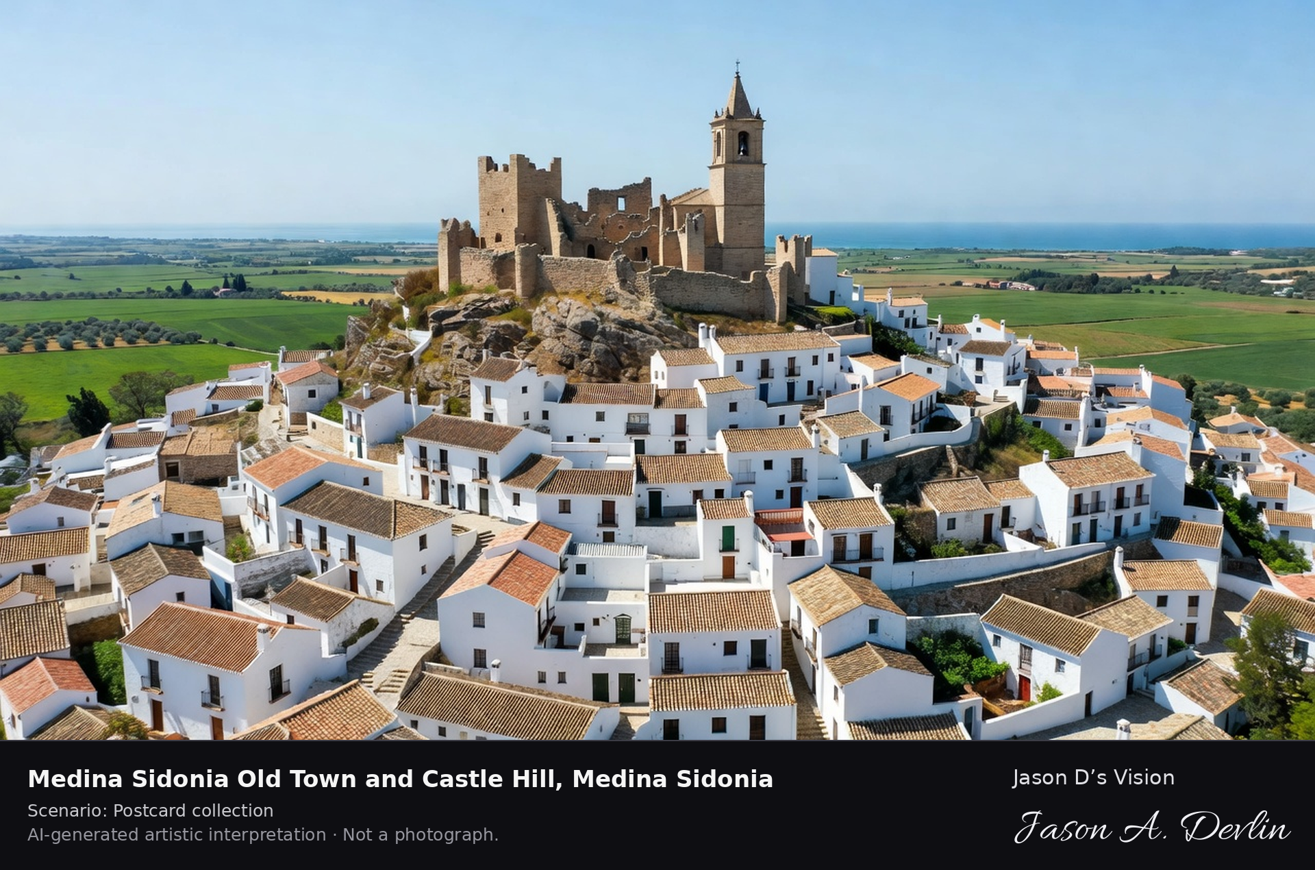
Medina Sidonia Old Town and Castle Hill, Medina Sidonia
Old town & castle hill · AI-generated artistic interpretation
Medina Sidonia is one of Andalusia's oldest towns, layered from Phoenician and Roman Asido through its Moorish medina to the ducal palace town of the house of Medina Sidonia. Its castle hill, with ruined walls and the church of Santa Maria la Coronada, looks over the Cadiz countryside to the sea, and the town is famous across Spain for its alfajores. A fresh retrieval for this spot on 7 November 2026 recorded 17.3 °C, overcast (WMO code 3), cloud cover 95%, wind 18.7 km/h.
Postcard collection
Daylight
Viewpoint, conditions & editions
Hill town panorama: white old town climbing to the castle hill summit with ruined walls and the Santa Maria church tower, ducal-town rooftops below, flat Cadiz countryside and distant sea beyond. Reference-reported camera 36.463160 N, 5.928300 W; exact generated camera correspondence is unverified.
17.3°C, weather code 3 (overcast), cloud 95%, wind 18.7 km/h. Per-scene Open-Meteo retrieval 2026-11-07T19:24:56.957959+00:00 for the scene's own coordinates.
Downloads carry the finished label bar: caption, scenario and AI disclosure on the left, “Jason D’s Vision” with the script signature on the right.
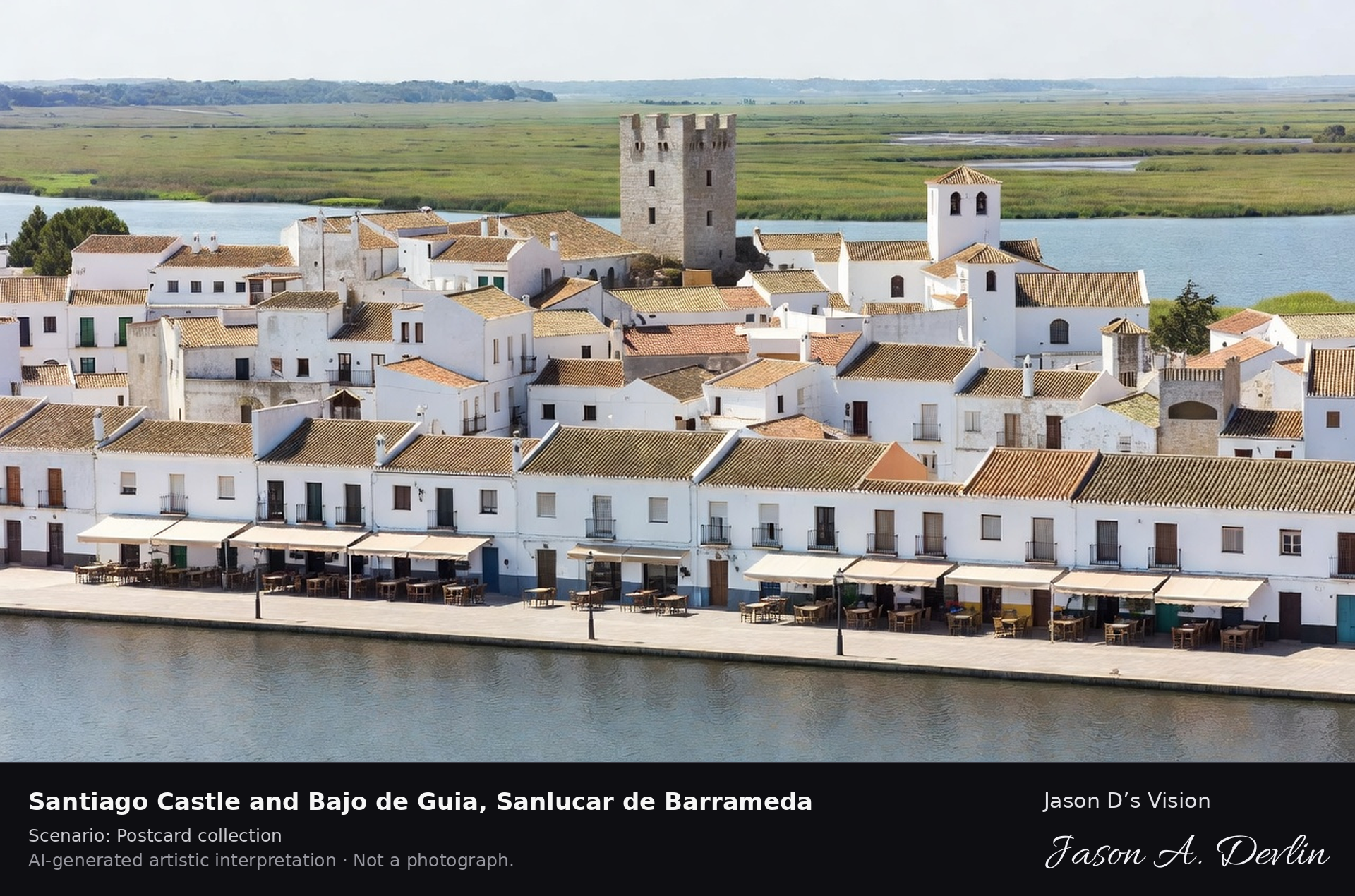
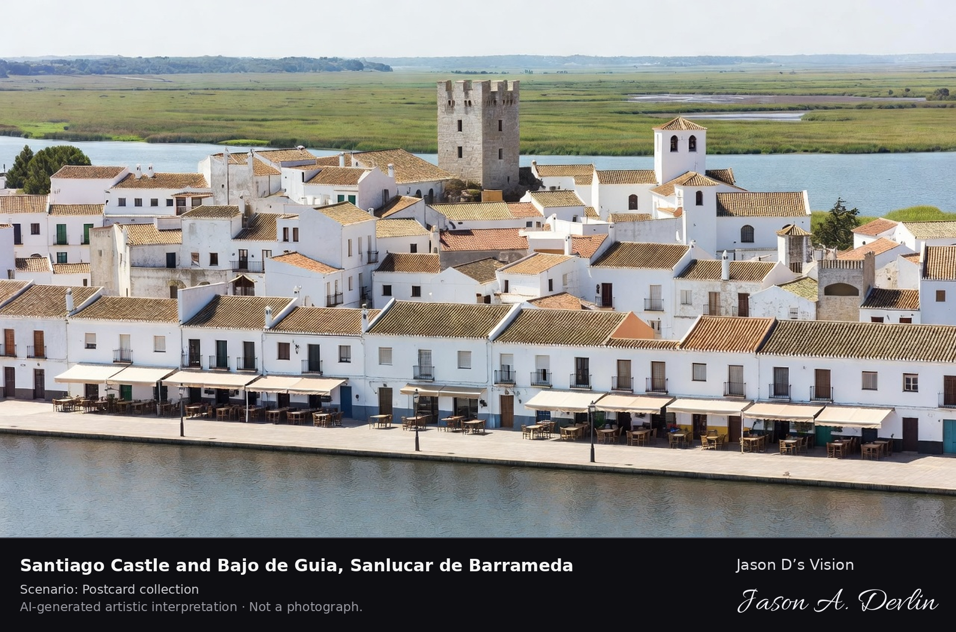
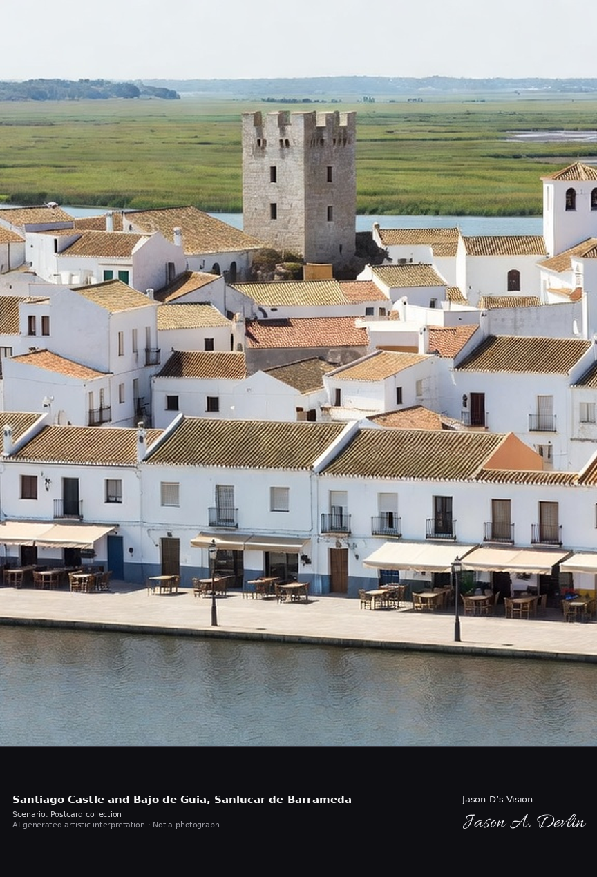
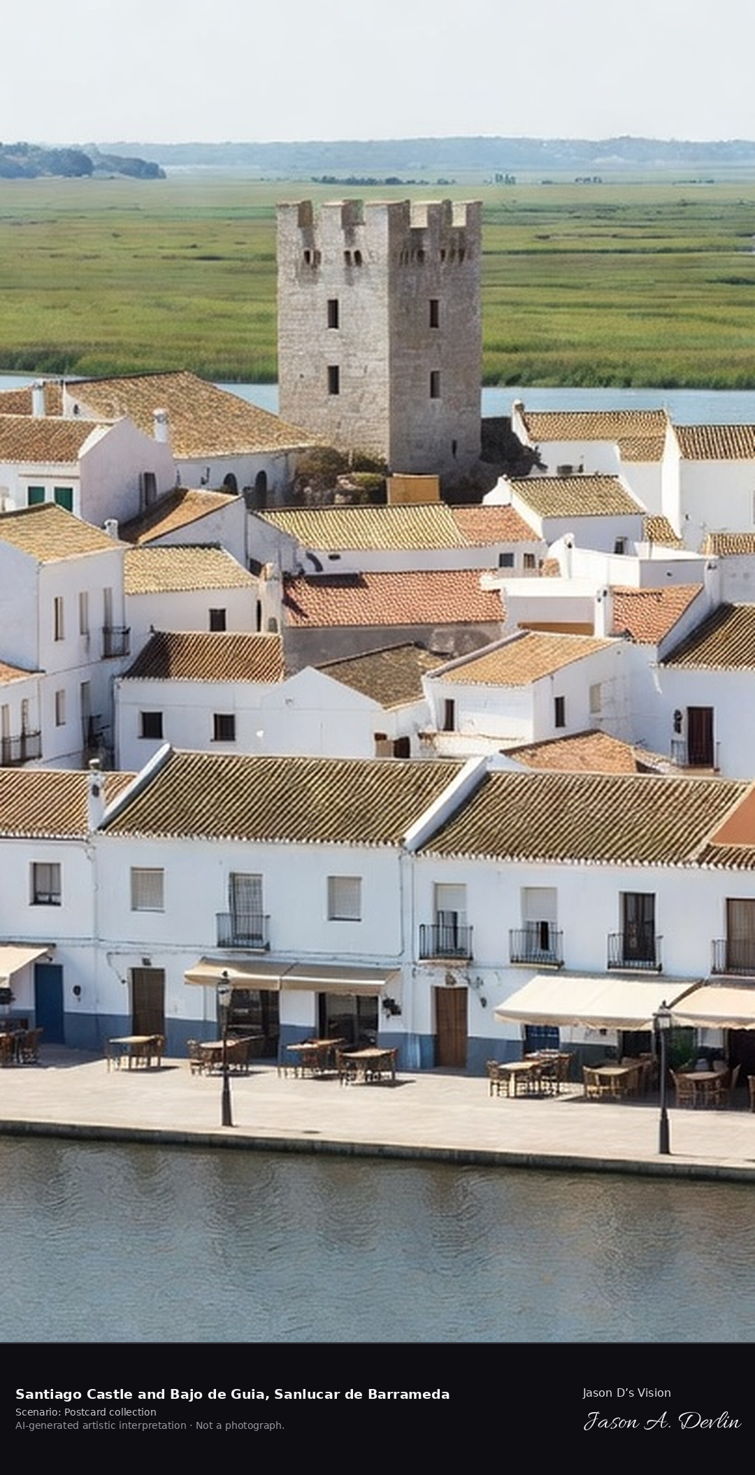
Santiago Castle and Bajo de Guia, Sanlucar de Barrameda
Santiago Castle & Bajo de Guía · AI-generated artistic interpretation
Sanlucar de Barrameda stands where the Guadalquivir meets the Atlantic, facing the marshes of Donana across the river mouth. Its fifteenth-century Santiago Castle guarded the river entrance, and the Bajo de Guia riverfront below the old town is famous across Spain for its seafood restaurants and manzanilla sherry. A fresh retrieval for this spot on 7 November 2026 recorded 20.0 °C, partly cloudy (WMO code 2), cloud cover 93%, wind 12.0 km/h.
Postcard collection
Daylight
Viewpoint, conditions & editions
Riverfront view: Bajo de Guia promenade and restaurant terraces along the Guadalquivir mouth in foreground, white town behind with the quadrangular Santiago Castle and church towers, Donana marshes across the wide river. Reference-reported camera 36.777870 N, 6.357860 W; exact generated camera correspondence is unverified.
20°C, weather code 2 (partly cloudy), cloud 93%, wind 12 km/h. Per-scene Open-Meteo retrieval 2026-11-07T19:25:10.091352+00:00 for the scene's own coordinates.
Downloads carry the finished label bar: caption, scenario and AI disclosure on the left, “Jason D’s Vision” with the script signature on the right.
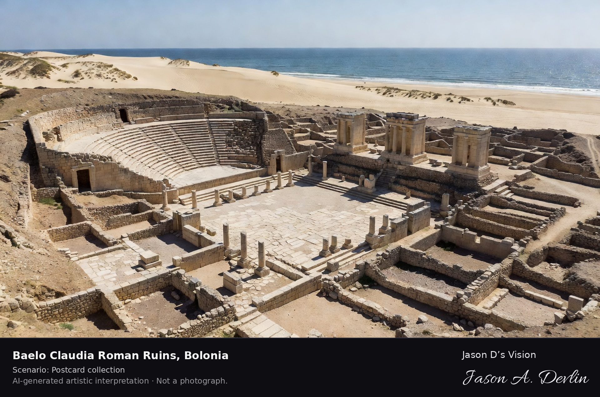
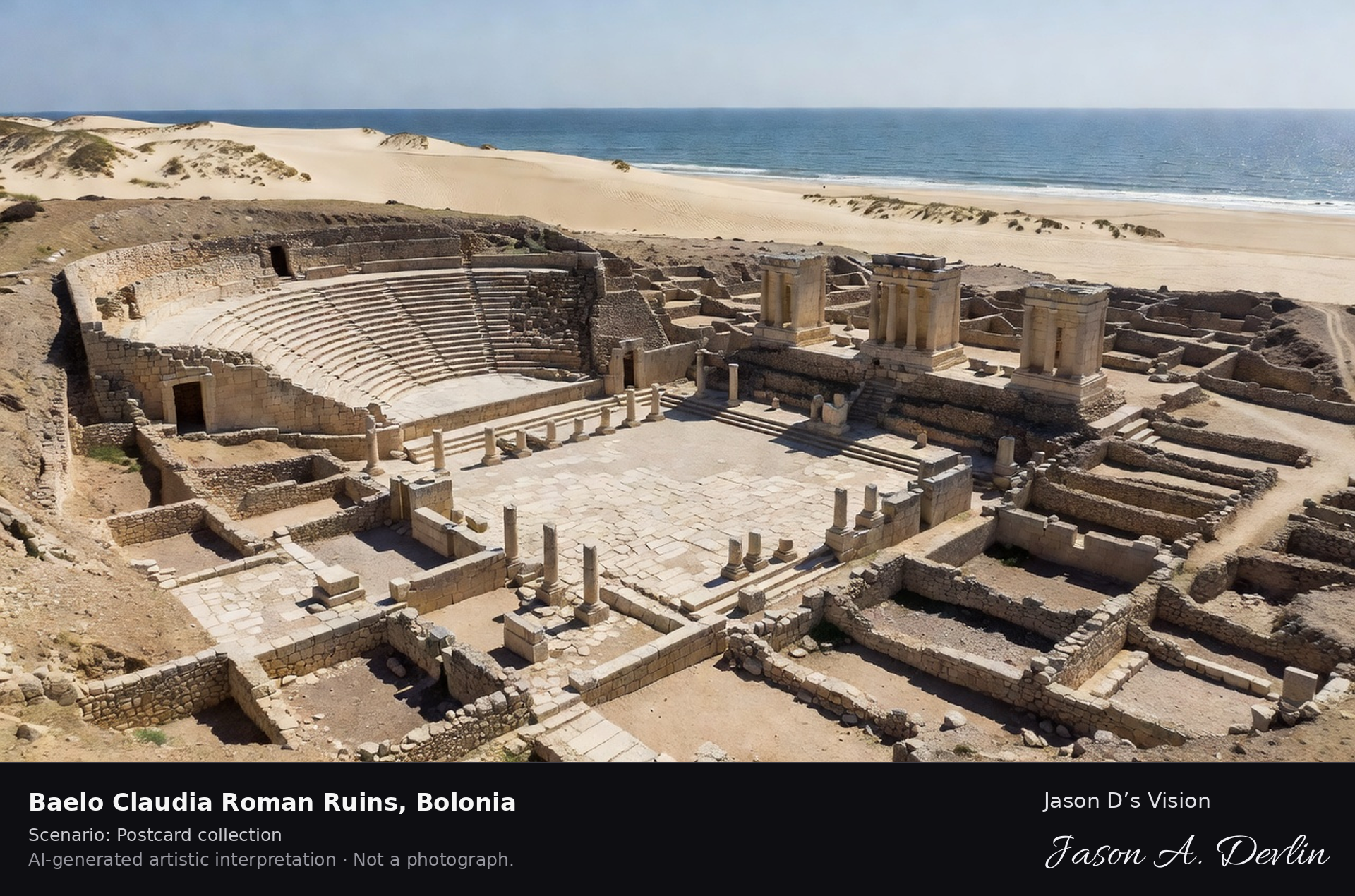
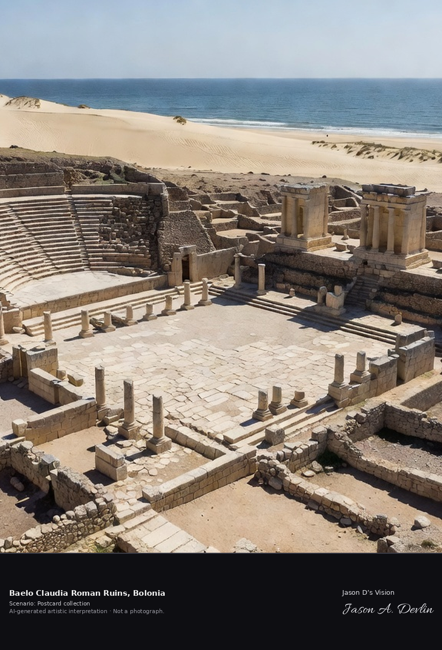
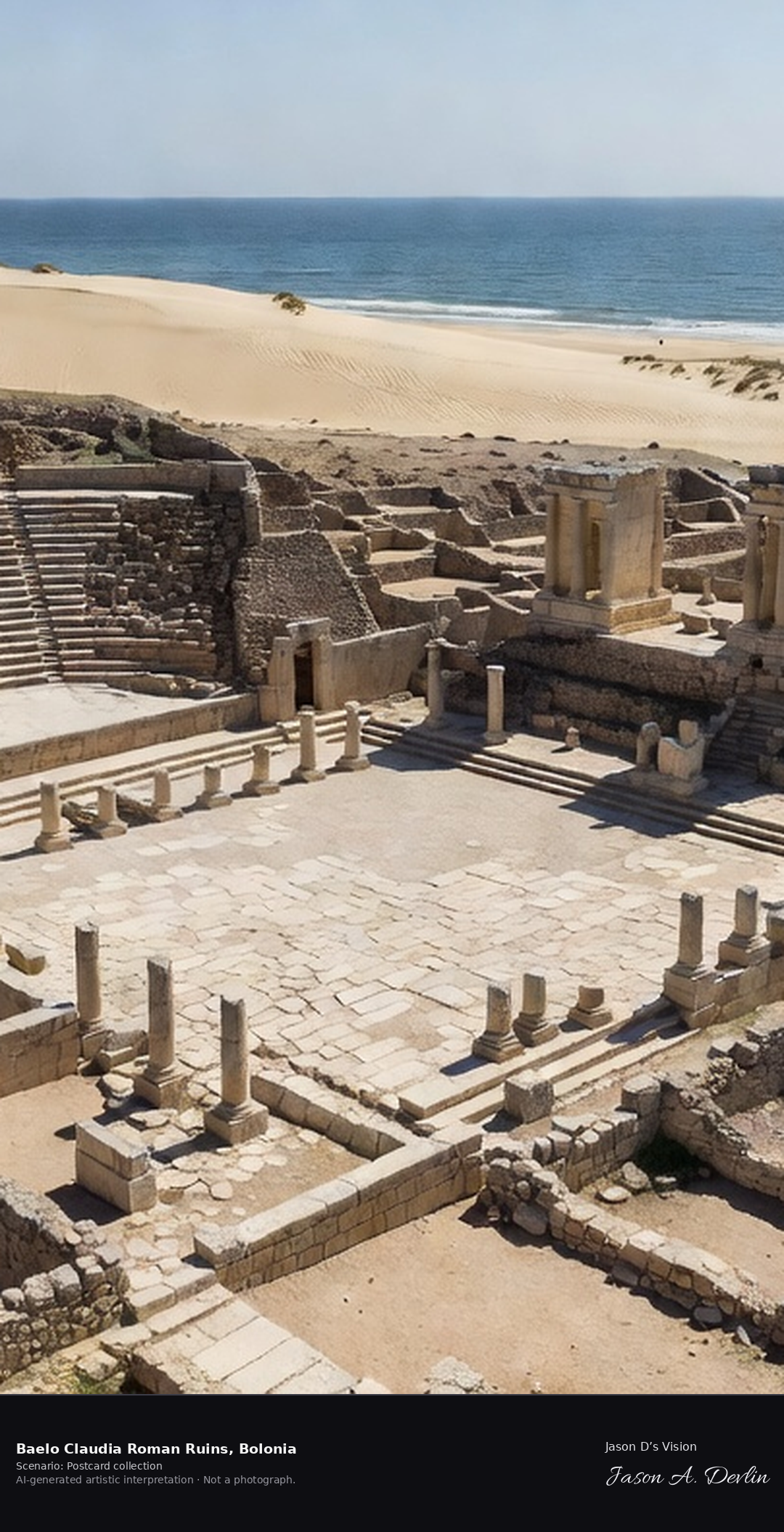
Baelo Claudia Roman ruins · AI-generated artistic interpretation
Baelo Claudia, beside Bolonia beach near Tarifa, preserves the most complete Roman town in the Iberian Peninsula: forum, triple Capitoline temples, Temple of Isis, basilica, theatre for about two thousand people and the garum fish-salting factories that made its fortune. Founded in the late second century BC, it was abandoned by the sixth century after earthquakes and raids. A fresh retrieval for this spot on 7 November 2026 recorded 19.9 °C, overcast (WMO code 3), cloud cover 90%, wind 18.6 km/h.
Postcard collection
Daylight
Viewpoint, conditions & editions
Elevated view over the excavated Roman town: forum paving and triple-temple podium in centre, theatre carved into the hillside, streets and salting-factory ruins, Bolonia bay, beach and great dune beyond — ruins unlit, open-air. Reference-reported camera 36.089850 N, 5.774750 W; exact generated camera correspondence is unverified.
19.9°C, weather code 3 (overcast), cloud 90%, wind 18.6 km/h. Per-scene Open-Meteo retrieval 2026-11-07T19:25:22.821434+00:00 for the scene's own coordinates.
Downloads carry the finished label bar: caption, scenario and AI disclosure on the left, “Jason D’s Vision” with the script signature on the right.
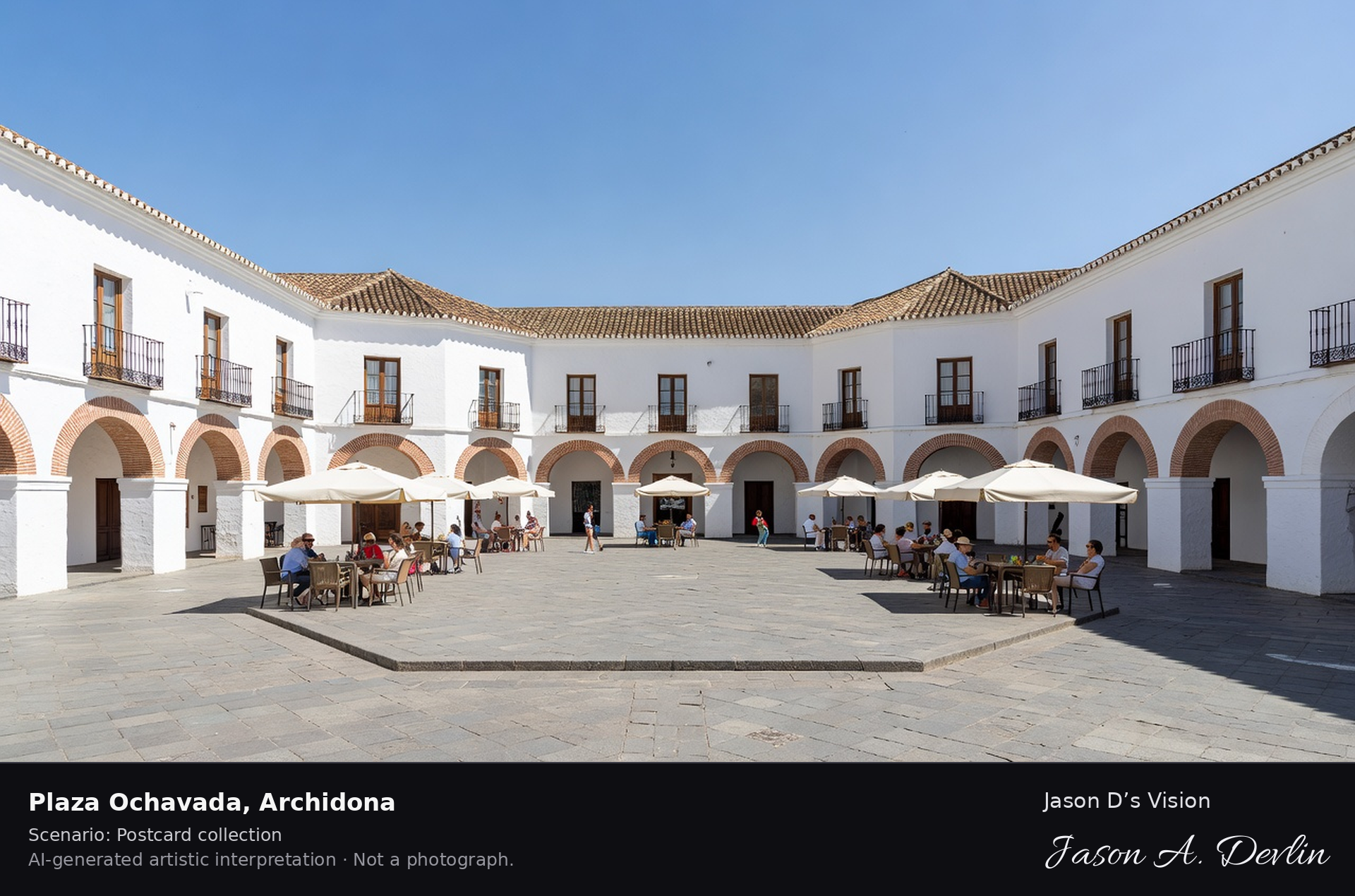
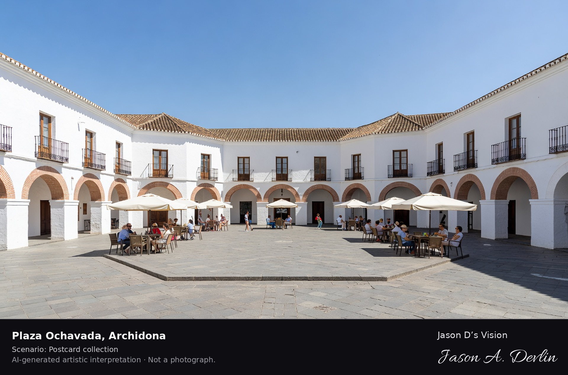
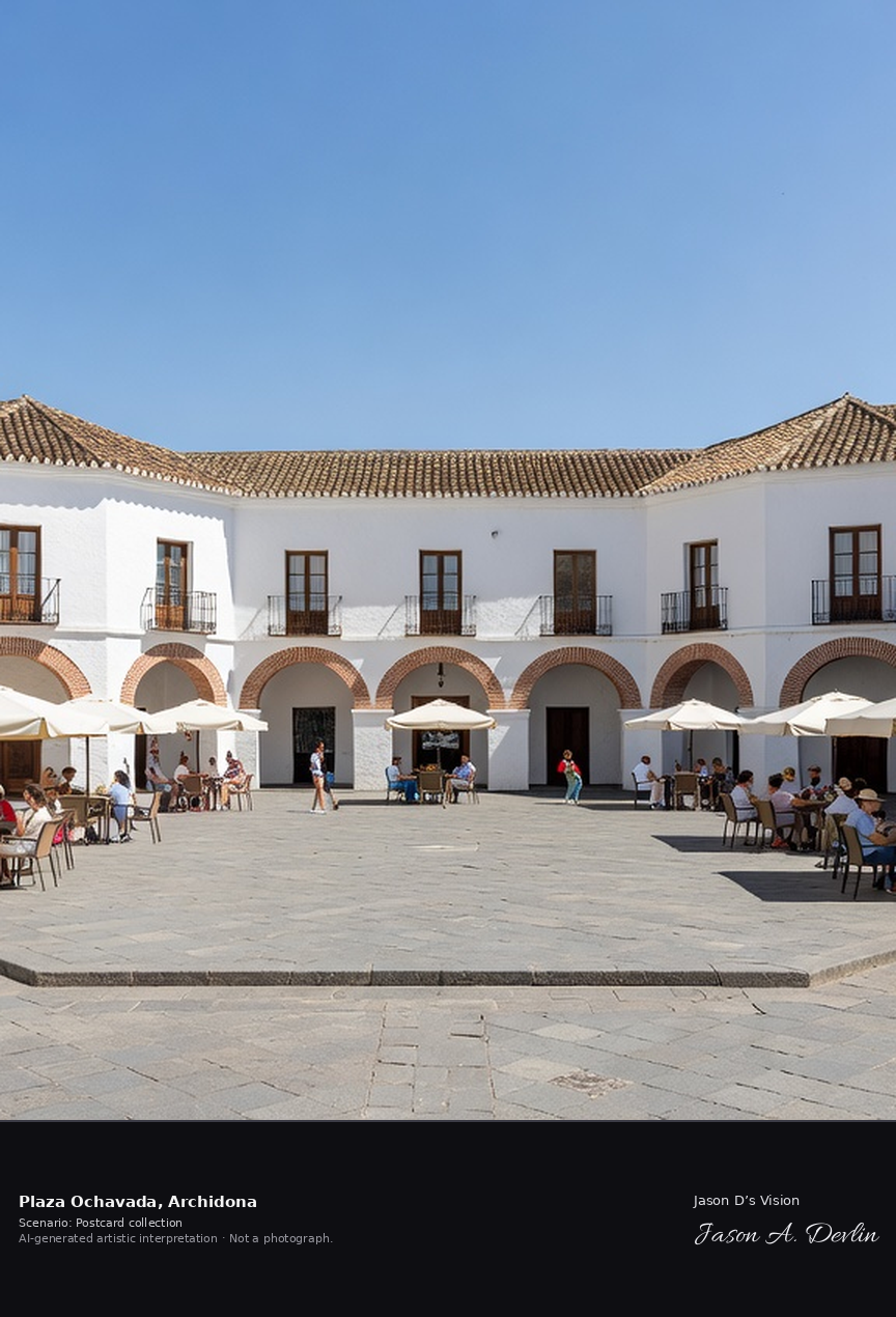
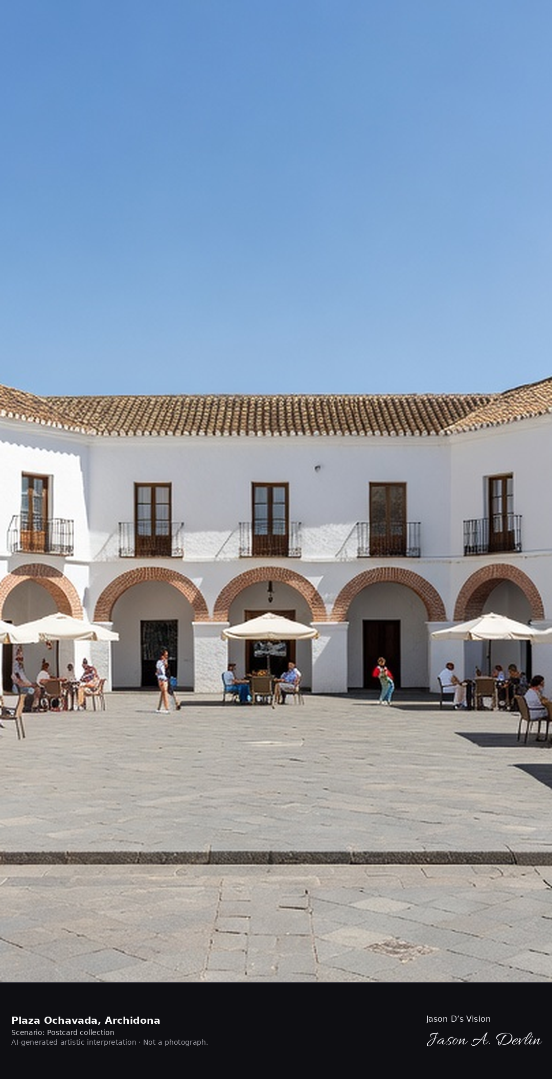
Plaza Ochavada · AI-generated artistic interpretation
Archidona's Plaza Ochavada, built between 1786 and 1789 by local master builders, is an enclosed octagonal plaza in Spanish Baroque style, its eight differing facades combining whitewash with red brick. Once used for bullfights, it now holds the town hall and was named the First Marvel of the Province of Malaga in 2007. A fresh retrieval for this spot on 7 November 2026 recorded 15.0 °C, partly cloudy (WMO code 2), cloud cover 92%, wind 5.2 km/h.
Postcard collection
Daylight
Viewpoint, conditions & editions
Inside the enclosed octagonal plaza: eight differing facades of whitewash and red brick with arched openings and balconies around a paved octagon, town hall facade among them, viewed across the square. Reference-reported camera 37.094710 N, 4.387500 W; exact generated camera correspondence is unverified.
15°C, weather code 2 (partly cloudy), cloud 92%, wind 5.2 km/h. Per-scene Open-Meteo retrieval 2026-11-07T19:25:36.027231+00:00 for the scene's own coordinates.
Downloads carry the finished label bar: caption, scenario and AI disclosure on the left, “Jason D’s Vision” with the script signature on the right.
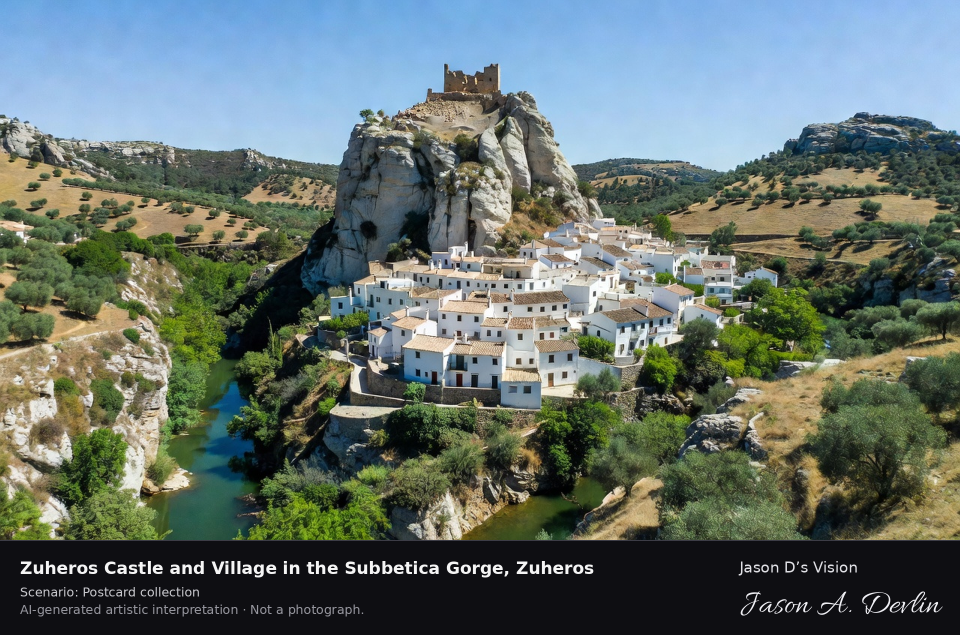
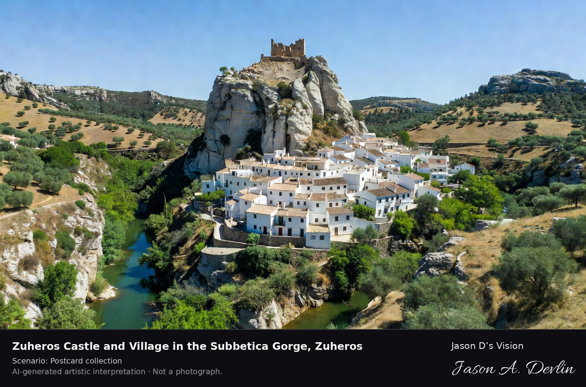
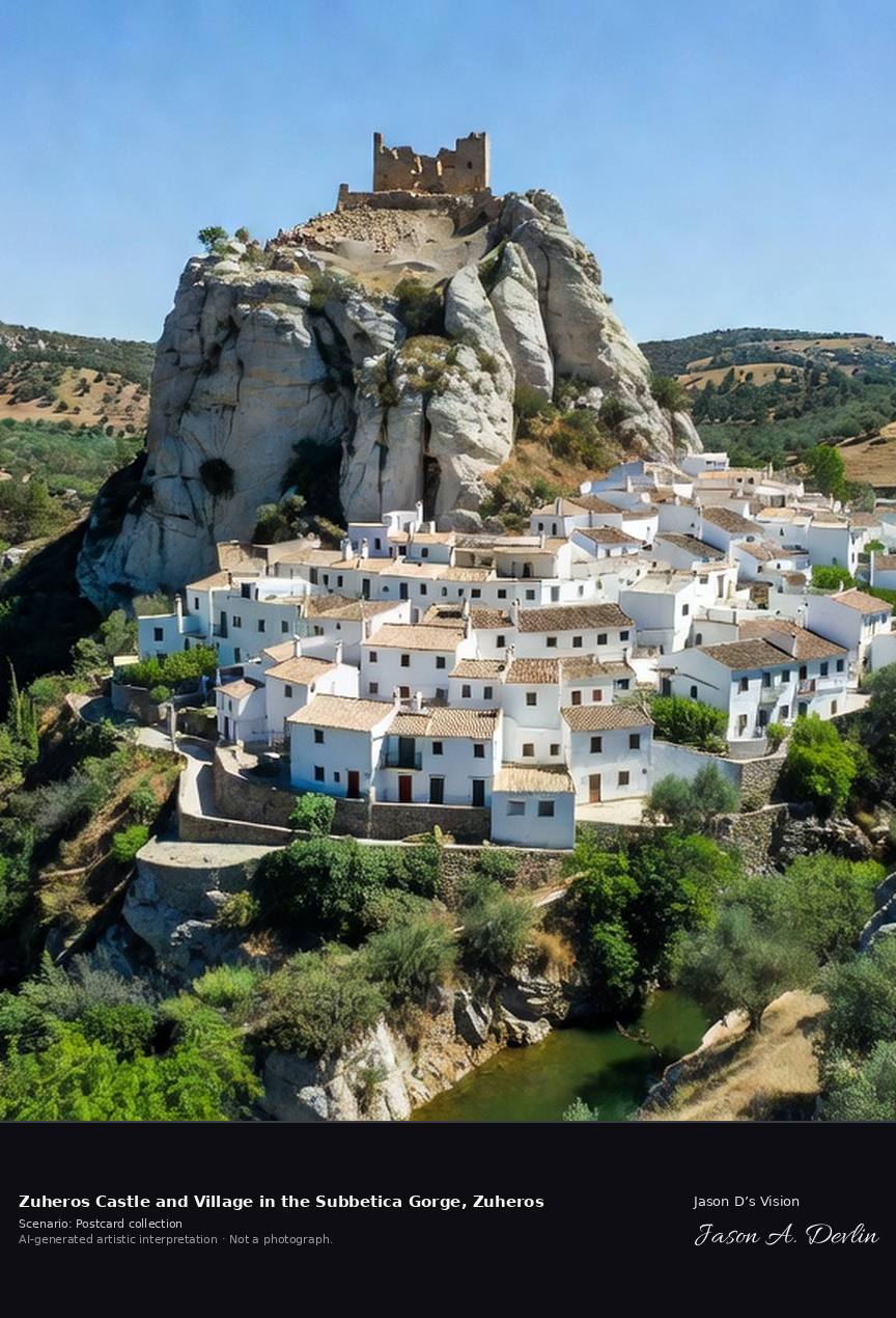
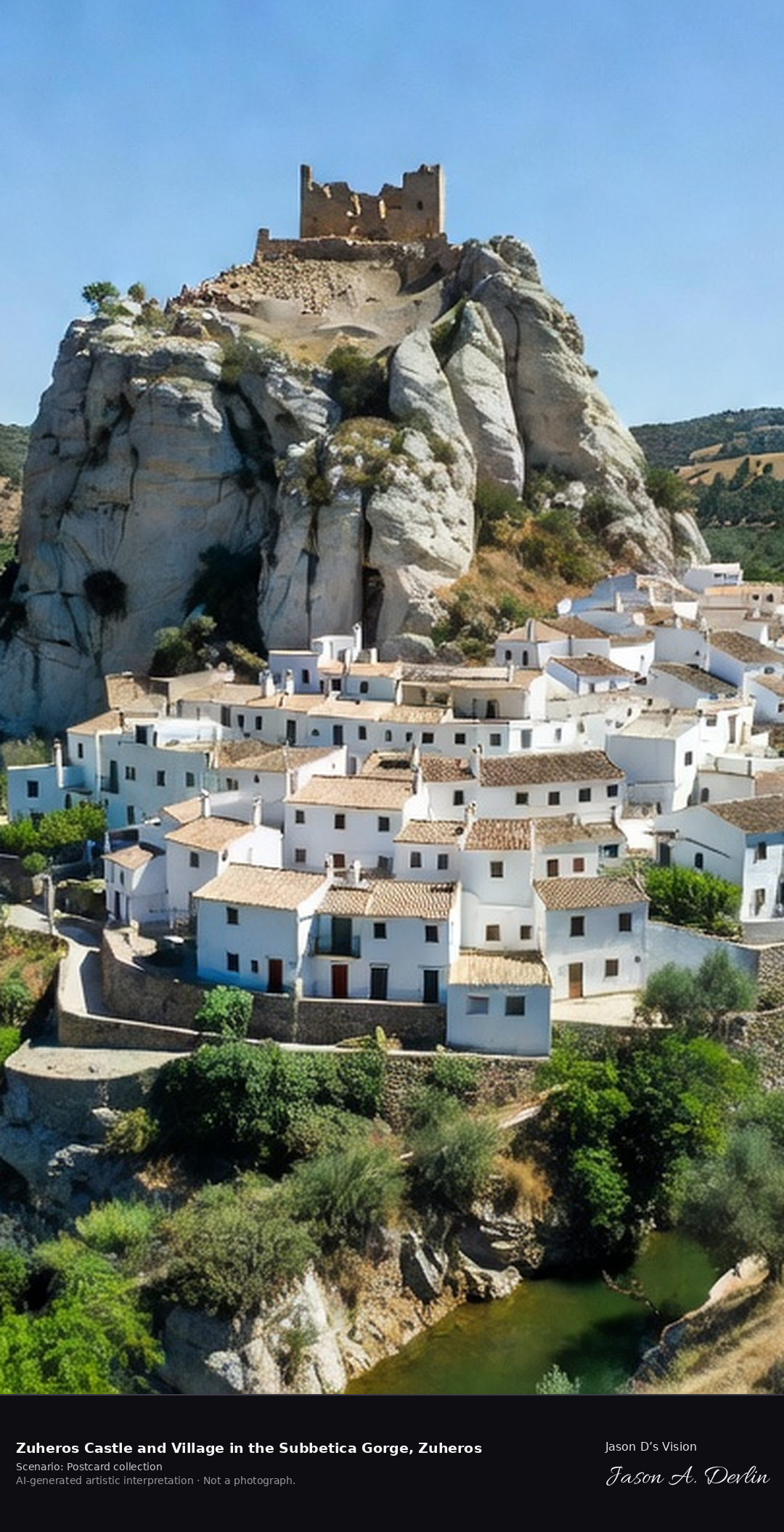
Zuheros Castle and Village in the Subbetica Gorge, Zuheros
Castle & village in the Subbética gorge · AI-generated artistic interpretation
Zuheros is a tiny white village in the Sierras Subbeticas, pinned between a sheer limestone rock crowned by its ninth-century Moorish castle and the deep gorge of the Bailon river. It is the gateway to the Cueva de los Murcielagos, the Cave of the Bats, with Neolithic remains and paintings. A fresh retrieval for this spot on 7 November 2026 recorded 16.2 °C, mainly clear (WMO code 1), cloud cover 62%, wind 5.9 km/h.
Postcard collection
Daylight
Viewpoint, conditions & editions
Village view: small white village at the foot of a sheer limestone rock crowned by the small Moorish castle, the Bailon river gorge cutting dramatically beside it, Subbetica sierra around. Reference-reported camera 37.544800 N, 4.314880 W; exact generated camera correspondence is unverified.
16.2°C, weather code 1 (mainly clear), cloud 62%, wind 5.9 km/h. Per-scene Open-Meteo retrieval 2026-11-07T19:25:49.201838+00:00 for the scene's own coordinates.
Downloads carry the finished label bar: caption, scenario and AI disclosure on the left, “Jason D’s Vision” with the script signature on the right.
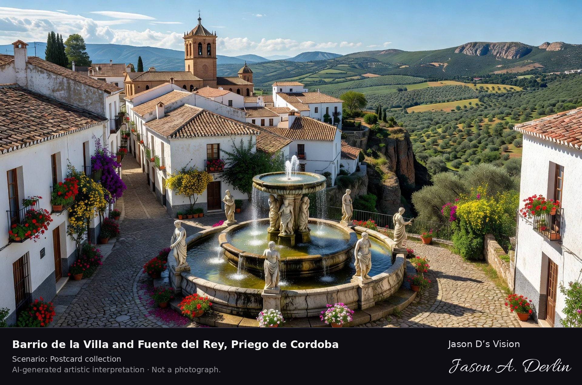
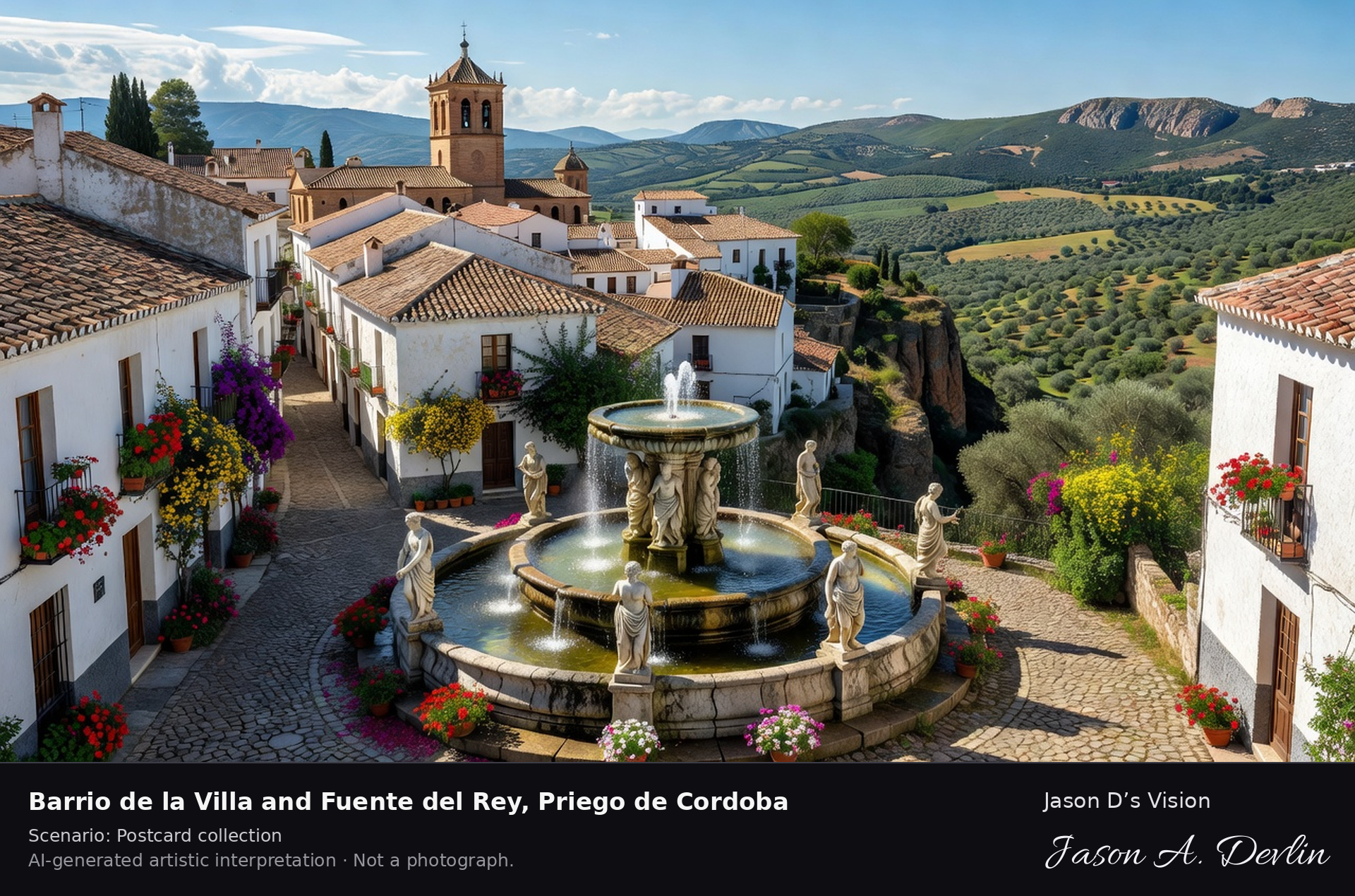
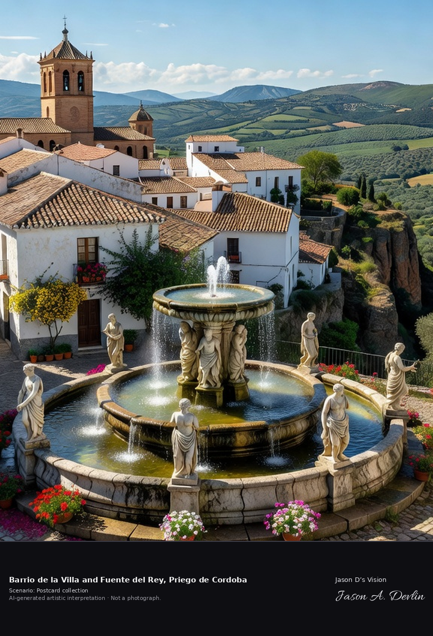
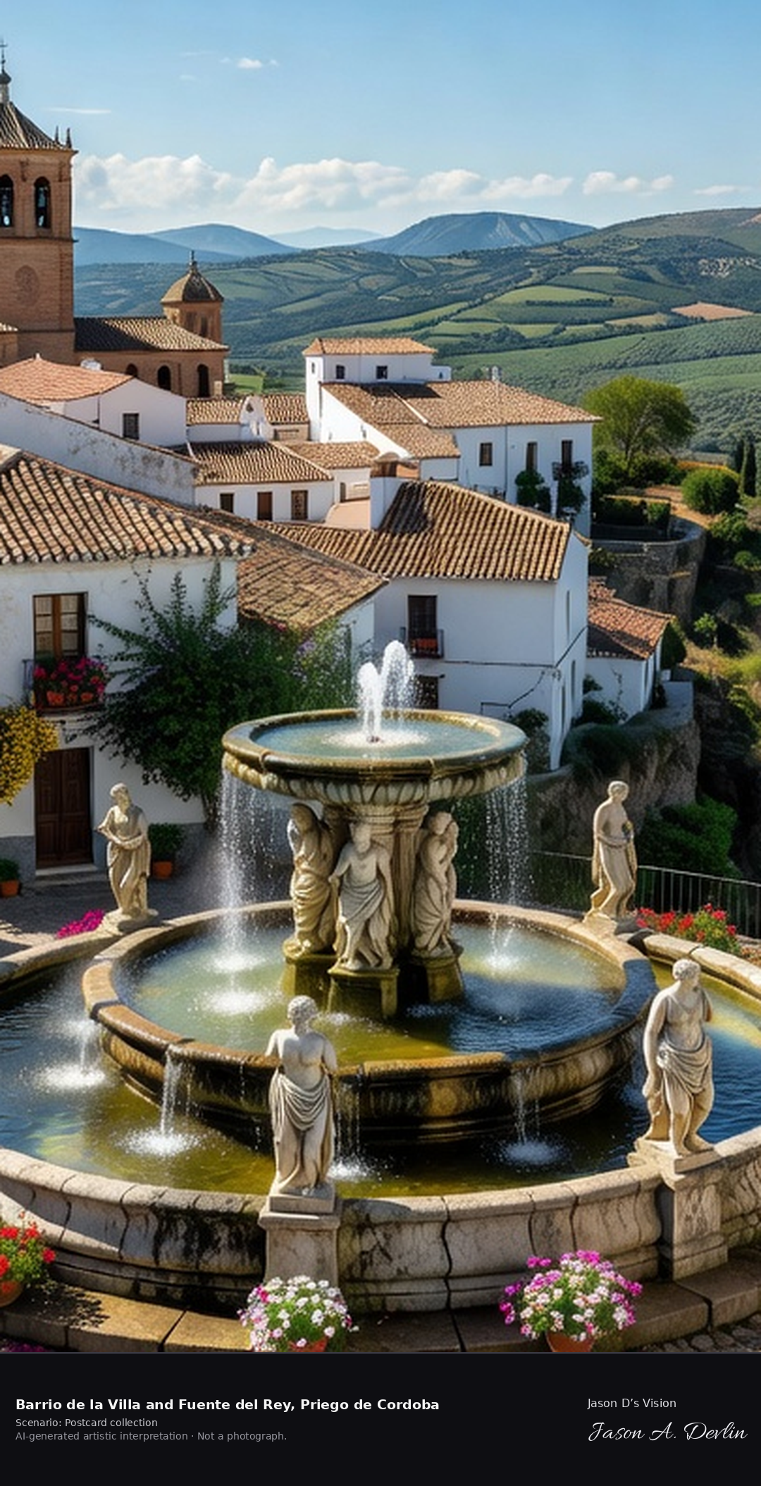
Barrio de la Villa and Fuente del Rey, Priego de Cordoba
Barrio de la Villa & Fuente del Rey · AI-generated artistic interpretation
Priego de Cordoba, the baroque jewel of the Subbetica, keeps its oldest quarter, the Barrio de la Villa, as a maze of whitewashed, flower-filled lanes on the Adarve cliff edge. Below stands the Fuente del Rey, the King's Fountain, a monumental baroque fountain remodelled in the early nineteenth century with one hundred and thirty-nine jets, tiered pools and classical sculpture. A fresh retrieval for this spot on 7 November 2026 recorded 17.0 °C, mainly clear (WMO code 1), cloud cover 61%, wind 2.3 km/h.
Postcard collection
Daylight
Viewpoint, conditions & editions
Whitewashed Barrio de la Villa lanes on the cliff edge (Adarve) above Subbetica countryside, with the monumental Fuente del Rey fountain — tiered pools and classical statues — in the town below; combined caption scene centred on the old quarter panorama with fountain foreground where possible. Reference-reported camera 37.441400 N, 4.196300 W; exact generated camera correspondence is unverified.
17°C, weather code 1 (mainly clear), cloud 61%, wind 2.3 km/h. Per-scene Open-Meteo retrieval 2026-11-07T19:26:02.815500+00:00 for the scene's own coordinates.
Downloads carry the finished label bar: caption, scenario and AI disclosure on the left, “Jason D’s Vision” with the script signature on the right.
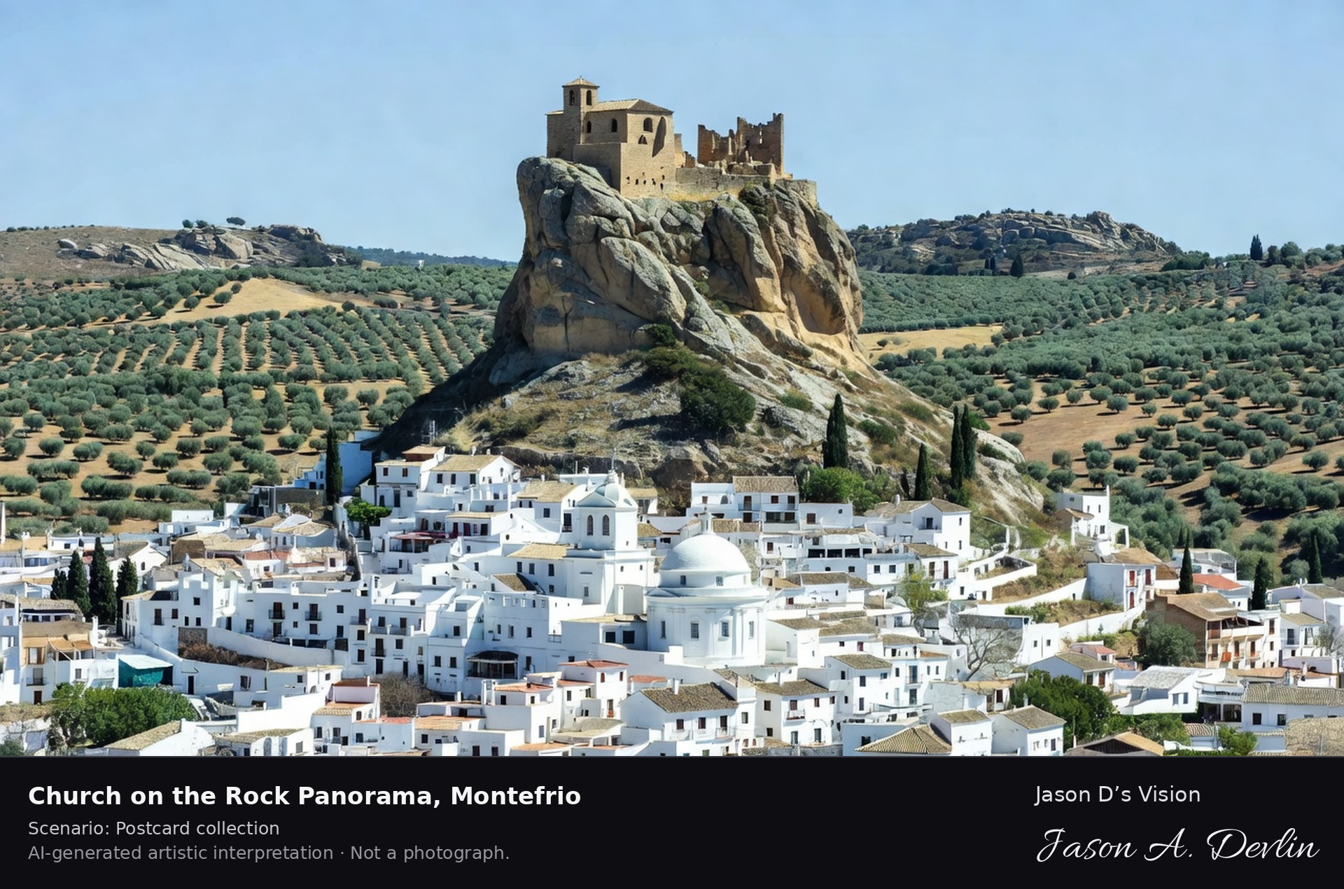
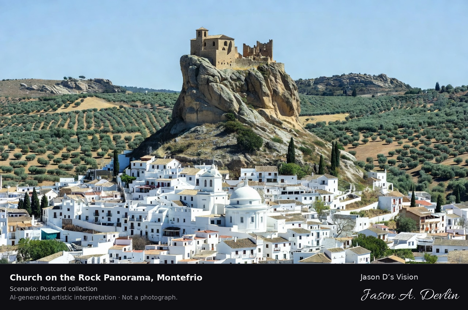
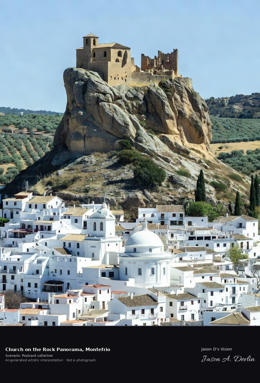
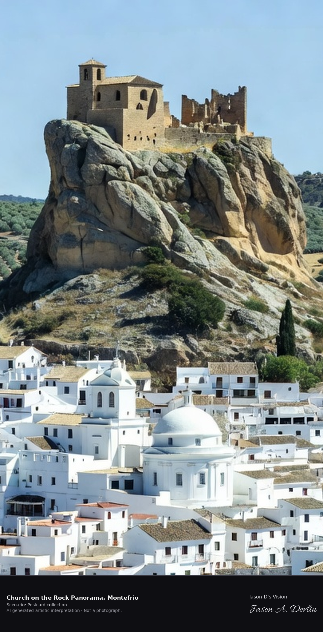
Montefrio's panorama — the sixteenth-century Iglesia de la Villa and castle remains on a bare rock pinnacle above the white town — was listed by National Geographic among the finest views in the world. Below stands the Iglesia de la Encarnacion, built 1786 to 1802 to a Pantheon-inspired round plan, described as Spain's only fully round church of its era. A fresh retrieval for this spot on 7 November 2026 recorded 14.4 °C, overcast (WMO code 3), cloud cover 90%, wind 6.9 km/h.
Postcard collection
Daylight
Viewpoint, conditions & editions
The famous panorama: Iglesia de la Villa church and castle remains balanced on a bare rock pinnacle above white houses, the round domed Iglesia de la Encarnacion visible in the town below, olive hills around. Reference-reported camera 37.323610 N, 4.004590 W; exact generated camera correspondence is unverified.
14.4°C, weather code 3 (overcast), cloud 90%, wind 6.9 km/h. Per-scene Open-Meteo retrieval 2026-11-07T19:26:15.448331+00:00 for the scene's own coordinates.
Downloads carry the finished label bar: caption, scenario and AI disclosure on the left, “Jason D’s Vision” with the script signature on the right.
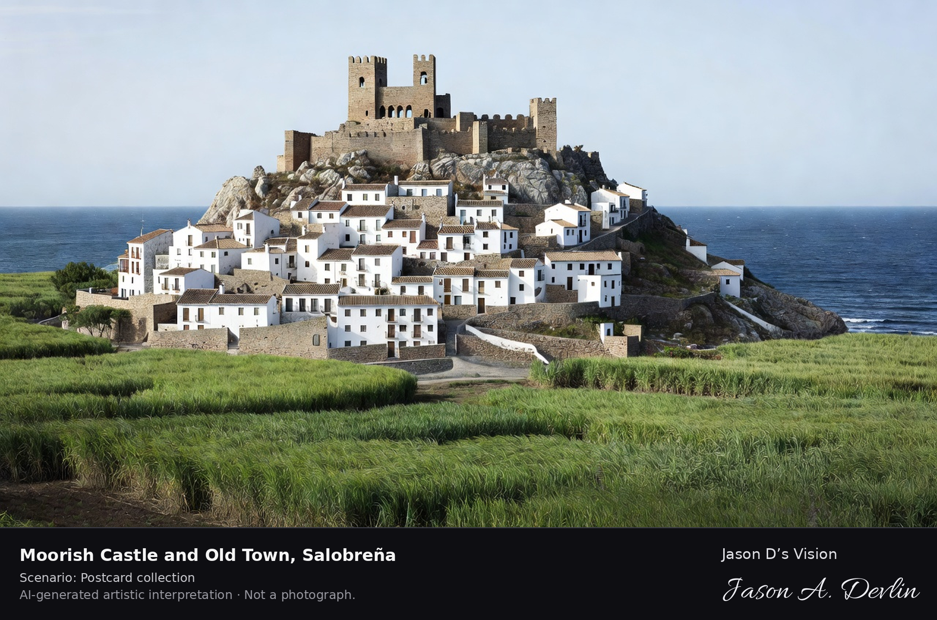
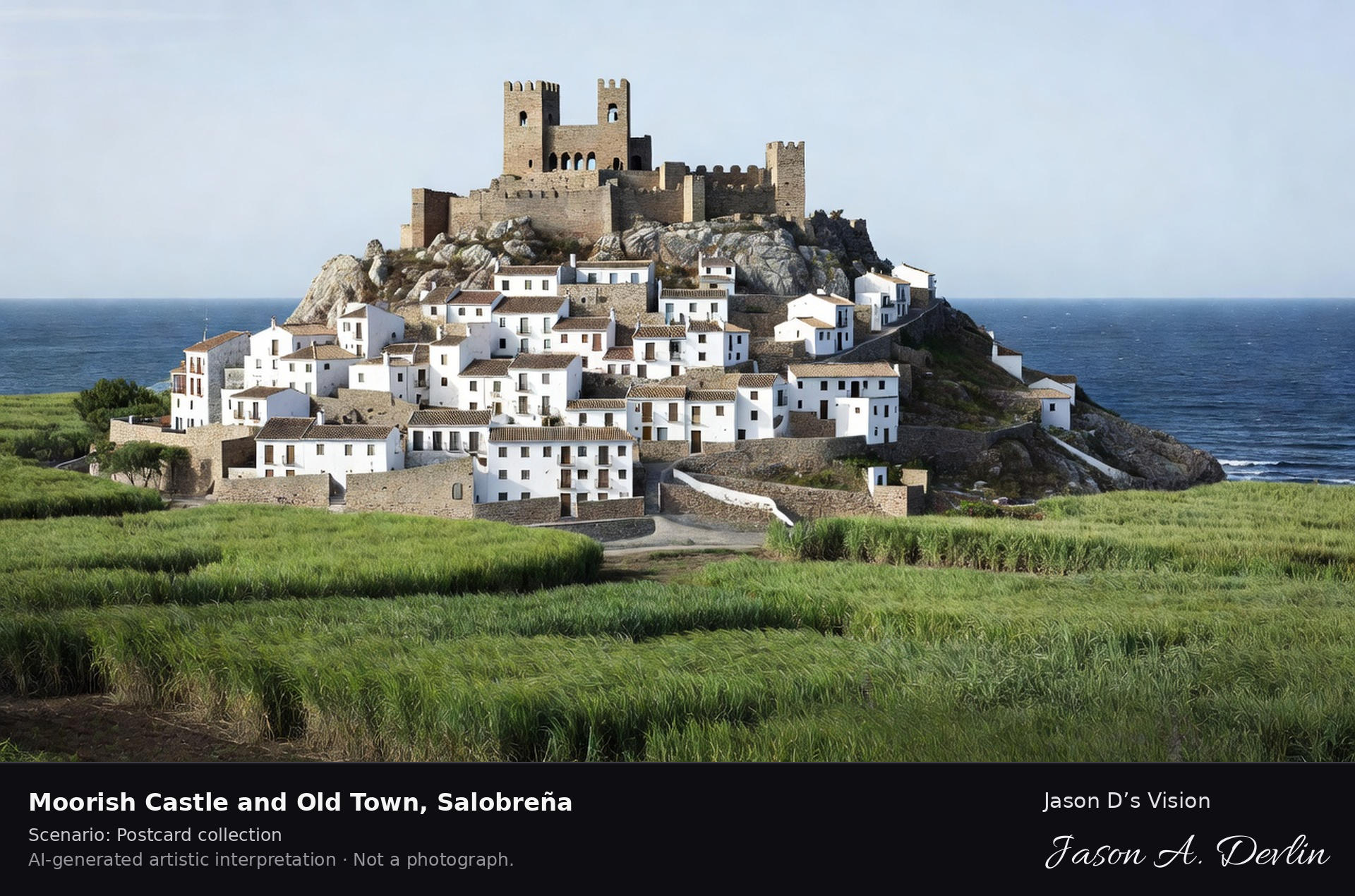
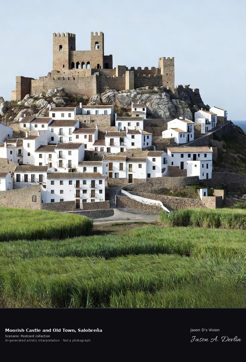
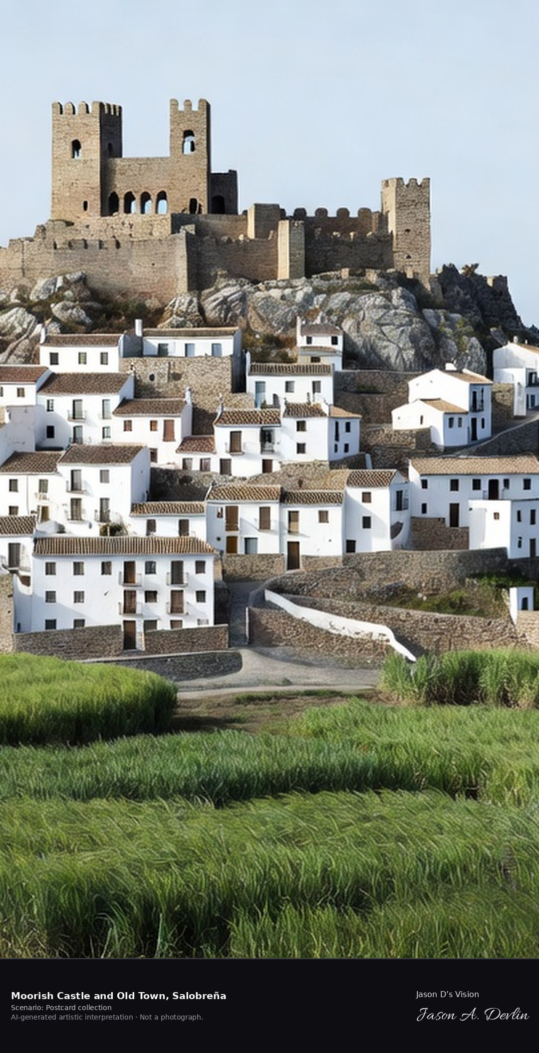
Moorish castle & old town · AI-generated artistic interpretation
Salobreña's whitewashed old town climbs a rocky hill to its Moorish castle, a Nasrid fortress that served as a royal residence and prison above the Costa Tropical. Below stretch the cane fields of the coastal plain and the Mediterranean, with the Sierra Nevada behind the town. A fresh retrieval for this spot on 7 November 2026 recorded 18.3 °C, mainly clear (WMO code 1), cloud cover 77%, wind 4.7 km/h.
Postcard collection
Daylight
Viewpoint, conditions & editions
View from the coastal plain: whitewashed old town climbing a rocky hill, Nasrid castle walls and towers crowning the summit, green cane fields in foreground, Mediterranean to one side, Sierra Nevada faint behind. Reference-reported camera 36.741000 N, 3.585000 W; exact generated camera correspondence is unverified.
18.3°C, weather code 1 (mainly clear), cloud 77%, wind 4.7 km/h. Per-scene Open-Meteo retrieval 2026-11-07T19:24:33.032342+00:00 for the scene's own coordinates.
Downloads carry the finished label bar: caption, scenario and AI disclosure on the left, “Jason D’s Vision” with the script signature on the right.
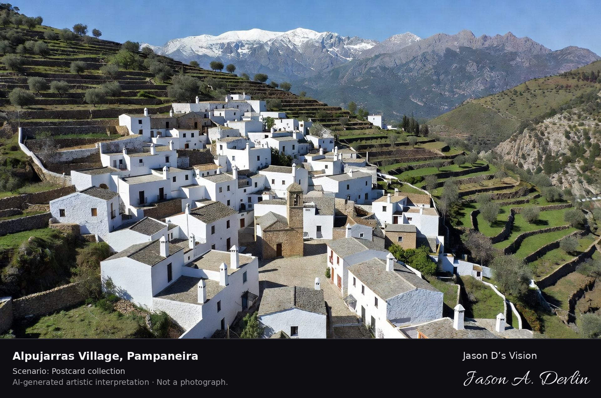
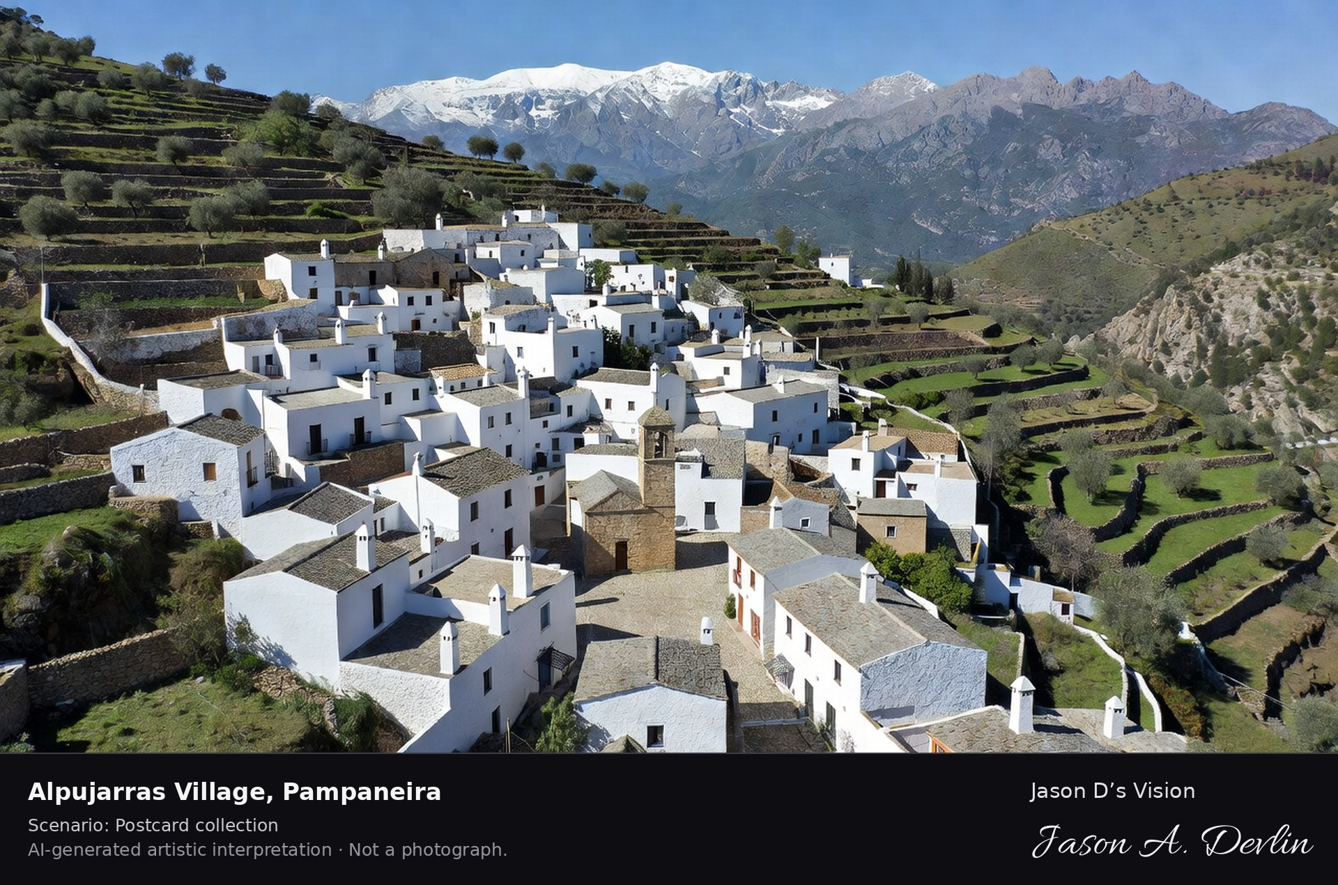
Alpujarras village · AI-generated artistic interpretation
Pampaneira is the lowest of the three white villages of the Poqueira gorge in the Alpujarras, its flat-roofed Berber-style houses, capped chimneys and covered tinao passageways stepping down the slope under the Sierra Nevada. Bubión and Capileira stand higher up the same gorge. A fresh retrieval for this spot on 7 November 2026 recorded 13.3 °C, overcast (WMO code 3), cloud cover 99%, wind 6.3 km/h.
Postcard collection
Daylight
Viewpoint, conditions & editions
Village on the Poqueira gorge slope: stepped whitewashed houses with flat grey launa roofs and capped chimneys, tinaos, church of Santa Cruz in the square, green gorge and Sierra Nevada peaks behind, Bubión and Capileira higher up the gorge. Reference-reported camera 36.939000 N, 3.361000 W; exact generated camera correspondence is unverified.
13.3°C, weather code 3 (overcast), cloud 99%, wind 6.3 km/h. Per-scene Open-Meteo retrieval 2026-11-07T19:24:45.659822+00:00 for the scene's own coordinates.
Downloads carry the finished label bar: caption, scenario and AI disclosure on the left, “Jason D’s Vision” with the script signature on the right.
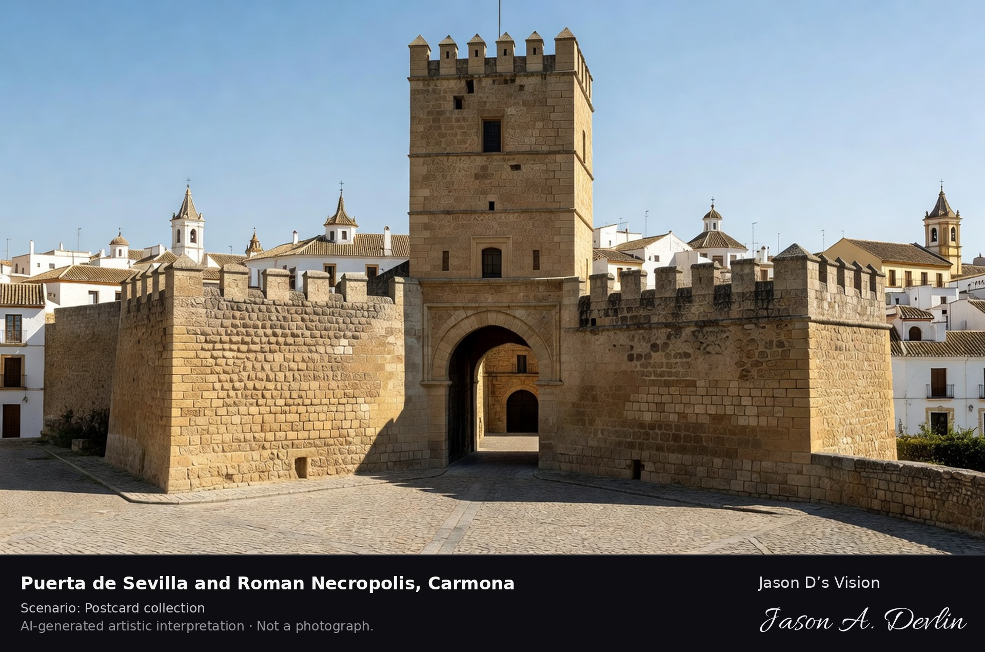
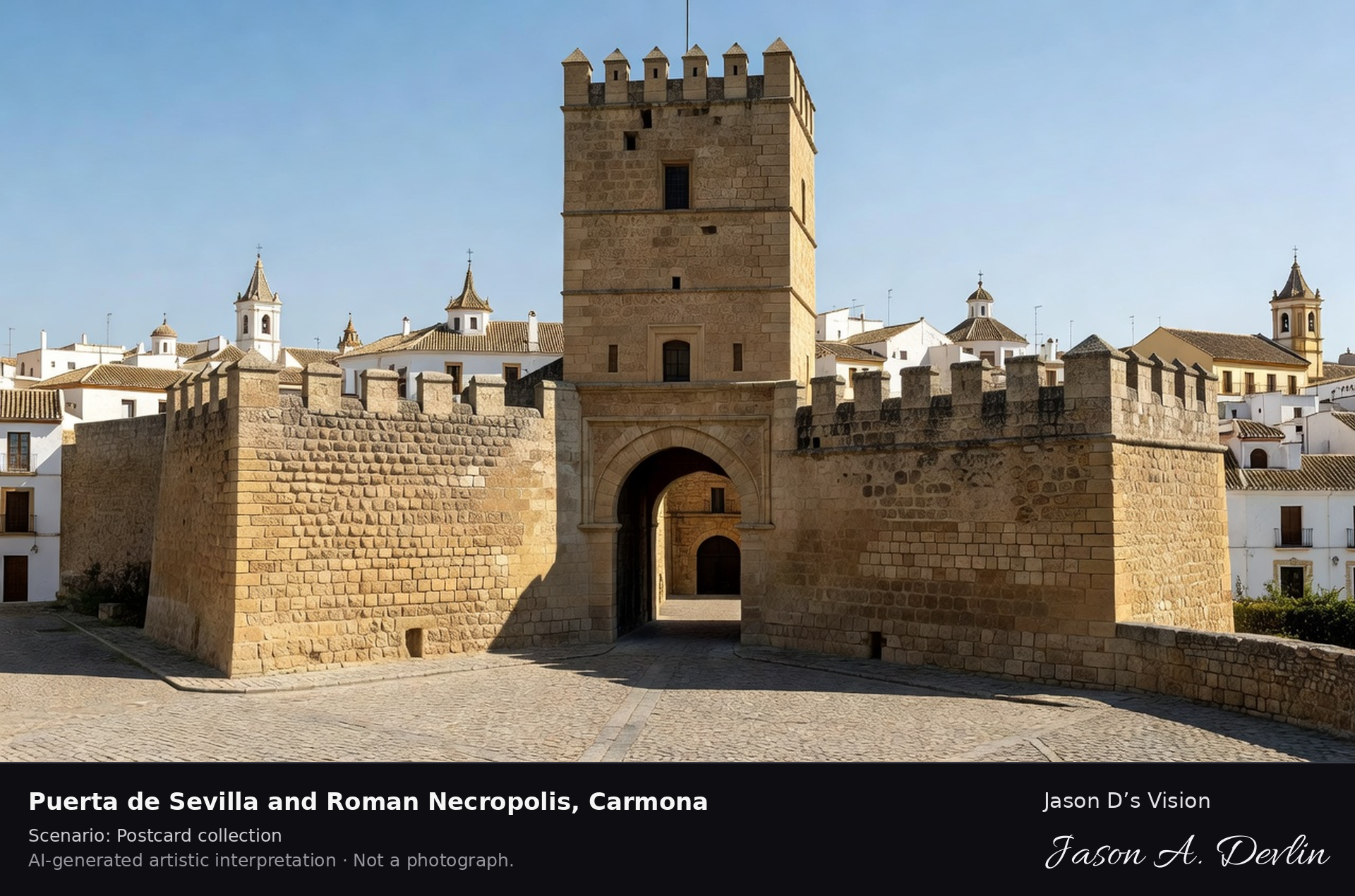
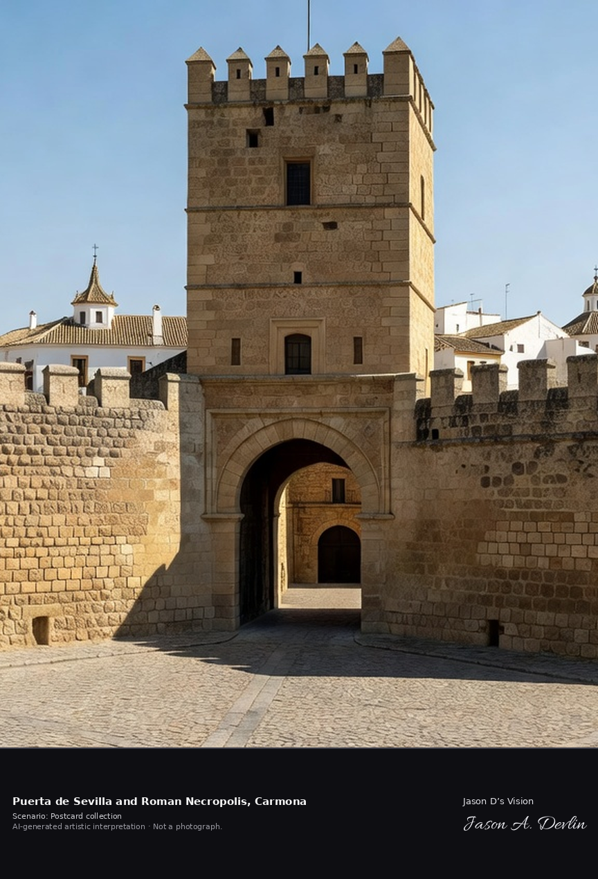
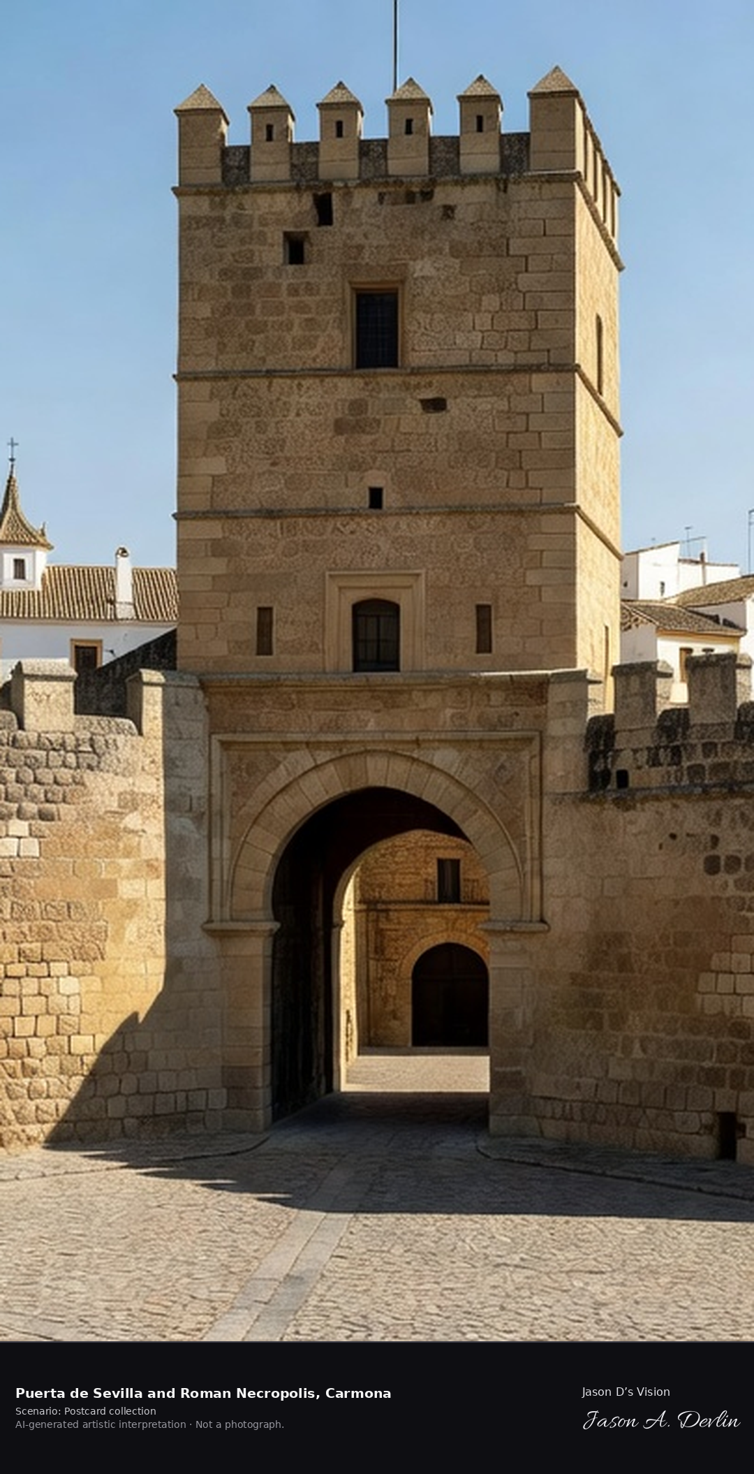
Puerta de Sevilla & Roman Necropolis ✓ · AI-generated artistic interpretation
Carmona's Alcázar de la Puerta de Sevilla is a fortress gate built up over two thousand years, from a Carthaginian bastion through Roman, Caliphate and Almohad work to Christian additions. A short walk away lies its Roman Necropolis, one of the great burial grounds of Roman Spain, with hundreds of rock-cut tombs. A fresh retrieval for this spot on 7 November 2026 recorded 19.4 °C, partly cloudy (WMO code 2), cloud cover 68%, wind 6.1 km/h.
Postcard collection
Daylight
Viewpoint, conditions & editions
The massive quadrangular Alcazar de la Puerta de Sevilla from the plaza below: bossed golden limestone bastion, horseshoe arches, Torre del Oro keep above, old town rooftops and church towers behind; the Roman Necropolis lies a short walk west and is described, not shown in the same frame. Reference-reported camera 37.472000 N, 5.642000 W; exact generated camera correspondence is unverified.
19.4°C, weather code 2 (partly cloudy), cloud 68%, wind 6.1 km/h. Per-scene Open-Meteo retrieval 2026-11-07T19:24:58.596930+00:00 for the scene's own coordinates.
Downloads carry the finished label bar: caption, scenario and AI disclosure on the left, “Jason D’s Vision” with the script signature on the right.
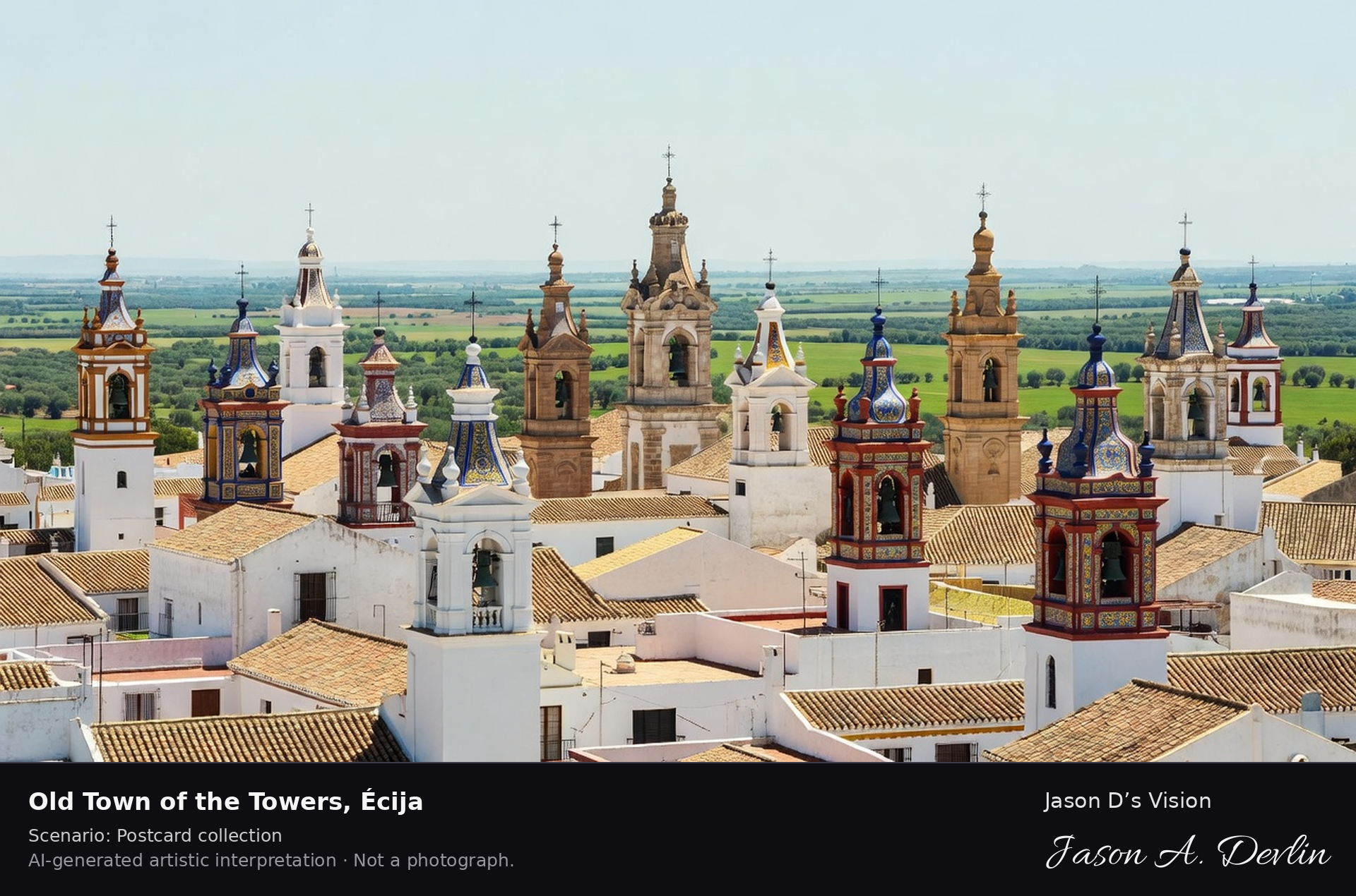
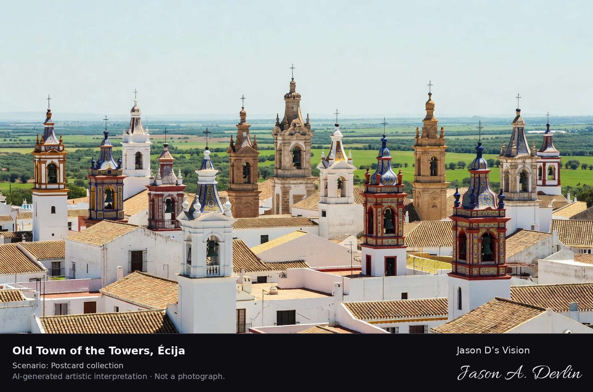
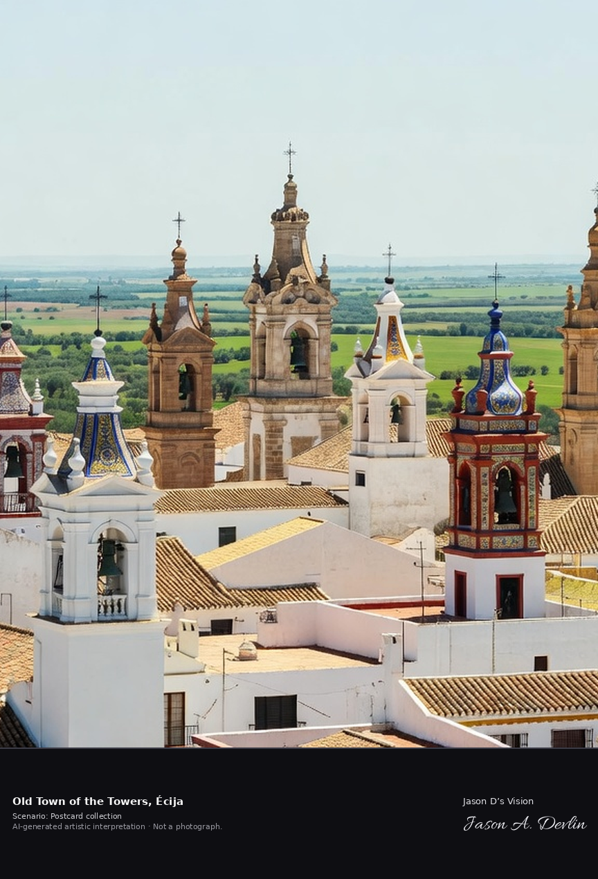
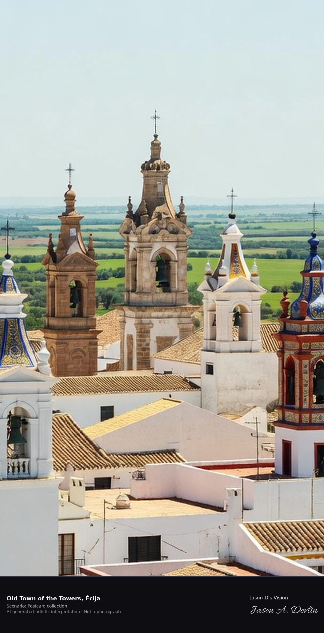
Old town of the towers · AI-generated artistic interpretation
Écija is known as the city of towers, for the eleven church towers and nine spires that rise over its Baroque old town on the river Genil. It is also called the frying pan of Andalucía for its fierce summer heat, and holds a rich legacy of palaces, churches and Roman mosaics. A fresh retrieval for this spot on 7 November 2026 recorded 19.9 °C, overcast (WMO code 3), cloud cover 64%, wind 3.6 km/h.
Postcard collection
Daylight
Viewpoint, conditions & editions
Rooftop panorama over Ecija old town: whitewashed and ochre rooftops in foreground, eleven ornate Baroque church towers and spires with tiled decoration rising across the skyline, the Genil plain beyond. Reference-reported camera 37.540000 N, 5.078000 W; exact generated camera correspondence is unverified.
19.9°C, weather code 3 (overcast), cloud 64%, wind 3.6 km/h. Per-scene Open-Meteo retrieval 2026-11-07T19:25:11.640375+00:00 for the scene's own coordinates.
Downloads carry the finished label bar: caption, scenario and AI disclosure on the left, “Jason D’s Vision” with the script signature on the right.
Colegiata & El Coto las Canteras · AI-generated artistic interpretation
Osuna is a ducal town crowned by its Renaissance Colegiata of Santa María de la Asunción, founded by the fourth Count of Ureña, with the ducal pantheon below and paintings by Ribera in its museum. On the town's edge, the ancient sandstone quarries of El Coto las Canteras form a vast carved amphitheatre known as the Petra of Andalucía. A fresh retrieval for this spot on 7 November 2026 recorded 18.4 °C, overcast (WMO code 3), cloud cover 39%, wind 17.7 km/h.
Postcard collection
Daylight
Viewpoint, conditions & editions
Colegiata de Santa Maria de la Asuncion on its hill above Osuna: large Renaissance collegiate church with tower dominating clustered town rooftops, rolling campiña beyond; El Coto las Canteras quarry amphitheatre lies on the town edge and is described, not shown in the same frame. Reference-reported camera 37.238000 N, 5.101000 W; exact generated camera correspondence is unverified.
18.4°C, weather code 3 (overcast), cloud 39%, wind 17.7 km/h. Per-scene Open-Meteo retrieval 2026-11-07T19:25:24.851587+00:00 for the scene's own coordinates.
Downloads carry the finished label bar: caption, scenario and AI disclosure on the left, “Jason D’s Vision” with the script signature on the right.
The castle of Vélez-Blanco, built between fifteen hundred and six and fifteen hundred and fifteen for the first Marquis of los Vélez, is a masterpiece of the early Spanish Renaissance, a fortress outside and a palace within. Its famous white marble patio was dismantled and is now in the Metropolitan Museum of Art in New York, while the castle still crowns its white hill town. A fresh retrieval for this spot on 7 November 2026 recorded 11.6 °C, overcast (WMO code 3), cloud cover 90%, wind 7.7 km/h.
Postcard collection
Daylight
Viewpoint, conditions & editions
Castle on its hill above the white town: pale stone Renaissance castle with tall keep over twenty metres, arched mirador, irregular towered silhouette, whitewashed hill town spreading below, Sierra Maria hills behind. Reference-reported camera 37.860000 N, 2.228000 W; exact generated camera correspondence is unverified.
11.6°C, weather code 3 (overcast), cloud 90%, wind 7.7 km/h. Per-scene Open-Meteo retrieval 2026-11-07T19:25:37.906250+00:00 for the scene's own coordinates.
Downloads carry the finished label bar: caption, scenario and AI disclosure on the left, “Jason D’s Vision” with the script signature on the right.
On the castle hill above Almonaster la Real stands one of the oldest rural mosques in Spain, built in the ninth to tenth century inside the fortress, reusing Roman and Visigothic stone, and later converted into a chapel. A small bullring built from castle stone in the eighteen twenties sits within the same walls, above a white village in the Sierra de Aracena. A fresh retrieval for this spot on 7 November 2026 recorded 18.1 °C, overcast (WMO code 3), cloud cover 98%, wind 6.1 km/h.
Postcard collection
Daylight
Viewpoint, conditions & editions
Small stone-and-brick mosque with square minaret tower and later bell gable inside ruined castle walls on a green hilltop, circular bullring built into the fortress below it, white village in the valley, wooded Sierra de Aracena hills around. Reference-reported camera 37.780000 N, 6.802000 W; exact generated camera correspondence is unverified.
18.1°C, weather code 3 (overcast), cloud 98%, wind 6.1 km/h. Per-scene Open-Meteo retrieval 2026-11-07T19:25:50.566701+00:00 for the scene's own coordinates.
Downloads carry the finished label bar: caption, scenario and AI disclosure on the left, “Jason D’s Vision” with the script signature on the right.
Fortaleza de la Mota · AI-generated artistic interpretation
The Fortaleza de la Mota is a fortified hilltop city above Alcalá la Real, largely shaped in the Nasrid period and taken by Alfonso the Eleventh in thirteen forty-one after a long siege. Its triangular alcazaba, keep and abbey church stand over the excavated streets of the town that lived inside its walls until the seventeenth century. A fresh retrieval for this spot on 7 November 2026 recorded 13.2 °C, overcast (WMO code 3), cloud cover 82%, wind 2.5 km/h.
Postcard collection
Daylight
Viewpoint, conditions & editions
Fortress-city crowning a flat-topped hill at over a thousand metres: extensive stone walls, triangular alcazaba with tall Torre del Homenaje keep, abbey church tower, low ruins of the old town inside the walls, modern town on the plain below, olive country around. Reference-reported camera 37.461000 N, 3.930000 W; exact generated camera correspondence is unverified.
13.2°C, weather code 3 (overcast), cloud 82%, wind 2.5 km/h. Per-scene Open-Meteo retrieval 2026-11-07T19:26:03.258120+00:00 for the scene's own coordinates.
Downloads carry the finished label bar: caption, scenario and AI disclosure on the left, “Jason D’s Vision” with the script signature on the right.
La Rábida Monastery · AI-generated artistic interpretation
La Rábida is the Franciscan monastery above the Tinto estuary where Christopher Columbus found shelter and support between fourteen eighty-five and fourteen ninety-two, and where the friars Juan Pérez and Antonio de Marchena helped win backing for the fourteen ninety-two voyage. Its Gothic-Mudéjar church and brick cloister stand by the Columbus sites of Palos de la Frontera. A fresh retrieval for this spot on 7 November 2026 recorded 19.4 °C, overcast (WMO code 3), cloud cover 96%, wind 2.4 km/h.
Postcard collection
Daylight
Viewpoint, conditions & editions
Whitewashed Gothic-Mudejar Franciscan monastery on a low hill: irregular white walls, small church with bell gable, brick cloister side, gardens and pines around, Tinto estuary and flat marsh light behind. Reference-reported camera 37.208000 N, 6.925000 W; exact generated camera correspondence is unverified.
19.4°C, weather code 3 (overcast), cloud 96%, wind 2.4 km/h. Per-scene Open-Meteo retrieval 2026-11-07T19:26:15.889211+00:00 for the scene's own coordinates.
Downloads carry the finished label bar: caption, scenario and AI disclosure on the left, “Jason D’s Vision” with the script signature on the right.
Castillo de San Marcos · AI-generated artistic interpretation
The Castillo de San Marcos is a fortress-church built by Alfonso the Tenth, the Wise, from twelve sixty-four, on the site of a tenth-century mosque whose qibla wall survives inside. Columbus stayed in El Puerto de Santa María, and Juan de la Cosa, owner of the Santa María and maker of the first world map of the new discoveries, was a son of this sherry town across the bay from Cádiz. A fresh retrieval for this spot on 7 November 2026 recorded 19.6 °C, partly cloudy (WMO code 2), cloud cover 95%, wind 15.2 km/h.
Postcard collection
Daylight
Viewpoint, conditions & editions
Rectangular stone fortress-church in a plaza in the old town: crenellated walls, four towers including the great octagonal Torre del Homenaje keep, Gothic church front, statue of Alfonso X nearby, Guadalete river and white town rooftops around. Reference-reported camera 36.597000 N, 6.227000 W; exact generated camera correspondence is unverified.
19.6°C, weather code 2 (partly cloudy), cloud 95%, wind 15.2 km/h. Per-scene Open-Meteo retrieval 2026-11-07T19:26:28.634695+00:00 for the scene's own coordinates.
Downloads carry the finished label bar: caption, scenario and AI disclosure on the left, “Jason D’s Vision” with the script signature on the right.
Canfranc International Station ✓ · AI-generated artistic interpretation
Canfranc International Station opened in 1928 as one of Europe's largest stations, a 241-metre Beaux-Arts palace with 365 windows built for the cross-border line to France through the Somport tunnel. Closed to international traffic after a 1970 derailment, it stood empty for decades before reopening in 2023 as a hotel, and has been an Asset of Cultural Interest since 2002. A fresh retrieval for this spot on 7 November 2026 recorded 7.8 °C, mainly clear (WMO code 1), cloud cover 32%, wind 2.2 km/h.
Postcard collection
Daylight
Viewpoint, conditions & editions
Three-quarter view along the immense 241 m Beaux-Arts facade: slate mansard roof with dormers, central dome, endless arched windows, railway tracks alongside, steep pine Pyrenean slopes behind. Reference-reported camera 42.715050 N, 0.526110 W; exact generated camera correspondence is unverified.
7.8°C, weather code 1 (mainly clear), cloud 32%, wind 2.2 km/h. Per-scene Open-Meteo retrieval 2026-11-07T19:24:42.049766+00:00 for the scene's own coordinates.
Downloads carry the finished label bar: caption, scenario and AI disclosure on the left, “Jason D’s Vision” with the script signature on the right.
San Juan de la Peña Monastery, Santa Cruz de la Serós
San Juan de la Peña Monastery · AI-generated artistic interpretation
The old monastery of San Juan de la Peña is built beneath a vast conglomerate rock overhang in a pine forest south-west of Jaca, its two-level church partly carved into the cliff. A cradle of the Kingdom of Aragón and a legendary resting place of the Holy Grail, it holds a Romanesque cloister and the royal pantheon of Aragón's early kings. A fresh retrieval for this spot on 7 November 2026 recorded 8.7 °C, partly cloudy (WMO code 2), cloud cover 73%, wind 4.0 km/h.
Postcard collection
Daylight
Viewpoint, conditions & editions
The old monastery tucked completely under a huge orange conglomerate rock overhang: low stone Romanesque buildings and cloister arches pressed beneath the cliff, pine forest around, no direct sunlight. Reference-reported camera 42.523040 N, 0.673890 W; exact generated camera correspondence is unverified.
8.7°C, weather code 2 (partly cloudy), cloud 73%, wind 4 km/h. Per-scene Open-Meteo retrieval 2026-11-07T19:24:54.820141+00:00 for the scene's own coordinates.
Downloads carry the finished label bar: caption, scenario and AI disclosure on the left, “Jason D’s Vision” with the script signature on the right.
Pyrenean village old town · AI-generated artistic interpretation
Ansó is one of the best-preserved villages of the Aragonese Pyrenees, in the westernmost valley of the range: a compact old town of massive stone houses with huge chimneys and slate roofs, built to hold the snow and the smoke of long winters. Its church and ethnographic museum keep the valley's traditional costume and customs alive. A fresh retrieval for this spot on 7 November 2026 recorded 6.3 °C, overcast (WMO code 3), cloud cover 83%, wind 2.6 km/h.
Postcard collection
Daylight
Viewpoint, conditions & editions
Cobbled lane of massive grey stone houses with slate roofs and huge cylindrical stone chimneys, the church tower rising over the village, green Pyrenean valley slopes behind. Reference-reported camera 42.757030 N, 0.827900 W; exact generated camera correspondence is unverified.
6.3°C, weather code 3 (overcast), cloud 83%, wind 2.6 km/h. Per-scene Open-Meteo retrieval 2026-11-07T19:25:07.393334+00:00 for the scene's own coordinates.
Downloads carry the finished label bar: caption, scenario and AI disclosure on the left, “Jason D’s Vision” with the script signature on the right.
Old town under the Maladeta · AI-generated artistic interpretation
Benasque is the capital of high Aragón, a town of stone palace-houses at the head of the Ésera valley beneath the Maladeta massif and Aneto, at 3,404 metres the highest summit in the Pyrenees. It is the classic base town for the Posets-Maladeta Natural Park. A fresh retrieval for this spot on 7 November 2026 recorded 4.2 °C, clear sky (WMO code 0), cloud cover 4%, wind 3.9 km/h.
Postcard collection
Daylight
Viewpoint, conditions & editions
Stone palace-houses and church tower of Benasque old town in the foreground, the glacier-crowned Maladeta massif and Aneto filling the background above the Ésera valley. Reference-reported camera 42.603070 N, 0.521210 E; exact generated camera correspondence is unverified.
4.2°C, weather code 0 (clear sky), cloud 4%, wind 3.9 km/h. Per-scene Open-Meteo retrieval 2026-11-07T19:25:20.559568+00:00 for the scene's own coordinates.
Downloads carry the finished label bar: caption, scenario and AI disclosure on the left, “Jason D’s Vision” with the script signature on the right.
Roda Cathedral · AI-generated artistic interpretation
Roda de Isábena, with only a few dozen inhabitants, is the smallest town in Spain with a cathedral: the Romanesque cathedral of San Vicente, consecrated in 1030 and among the oldest in Aragón, with a celebrated cloister and painted crypt. The village was the seat of the bishops and counts of Ribagorza. A fresh retrieval for this spot on 7 November 2026 recorded 4.0 °C, clear sky (WMO code 0), cloud cover 1%, wind 2.3 km/h.
Postcard collection
Daylight
Viewpoint, conditions & editions
The small Romanesque cathedral of San Vicente on its hilltop: stone church with its later portico and bell tower, the tiny village clustered around, Isábena valley and Pyrenean foothills beyond. Reference-reported camera 42.291650 N, 0.528380 E; exact generated camera correspondence is unverified.
4°C, weather code 0 (clear sky), cloud 1%, wind 2.3 km/h. Per-scene Open-Meteo retrieval 2026-11-07T19:25:33.176293+00:00 for the scene's own coordinates.
Downloads carry the finished label bar: caption, scenario and AI disclosure on the left, “Jason D’s Vision” with the script signature on the right.
Old Belchite ruins — **FLAGGED, see Judgment calls** · AI-generated artistic interpretation
The old village of Belchite was destroyed in the battle of 1937 during the Spanish Civil War and was left standing in ruins, by decision, as a memorial, while a new Belchite was built beside it. Its ruined streets and the tower of San Martín can be visited on guided tours only. A fresh retrieval for this spot on 7 November 2026 recorded 13.4 °C, partly cloudy (WMO code 2), cloud cover 55%, wind 2.9 km/h.
Postcard collection
Daylight
Viewpoint, conditions & editions
The ruined old village as memorial: roofless stone and adobe houses along an empty street, the ruined church of San Martín with its Mudejar tower still standing, flat Aragón plain and wide sky; quiet, empty, no people. Reference-reported camera 41.303210 N, 0.753040 W; exact generated camera correspondence is unverified.
13.4°C, weather code 2 (partly cloudy), cloud 55%, wind 2.9 km/h. Per-scene Open-Meteo retrieval 2026-11-07T19:25:46.004422+00:00 for the scene's own coordinates.
Downloads carry the finished label bar: caption, scenario and AI disclosure on the left, “Jason D’s Vision” with the script signature on the right.
Os Teixóis ethnographic complex ✓ · AI-generated artistic interpretation
Os Teixóis, near Taramundi in western Asturias, is an ethnographic complex where a single stream still drives a grain mill, a fulling mill, a sharpening wheel, a forge trip-hammer and a small hydroelectric plant, all in working order. It is the heart of Taramundi's Ruta del Agua, the Water Route. A fresh retrieval for this spot on 7 November 2026 recorded 14.2 °C, overcast (WMO code 3), cloud cover 99%, wind 4.7 km/h.
Postcard collection
Daylight
Viewpoint, conditions & editions
Small stone slate-roofed hamlet buildings clustered along the Mestas stream in a green wooded valley: mill, forge with its trip-hammer house and water channel, lush Atlantic greenery all around. Reference-reported camera 43.356690 N, 7.127950 W; exact generated camera correspondence is unverified.
14.2°C, weather code 3 (overcast), cloud 99%, wind 4.7 km/h. Per-scene Open-Meteo retrieval 2026-11-07T19:25:59.258020+00:00 for the scene's own coordinates.
Downloads carry the finished label bar: caption, scenario and AI disclosure on the left, “Jason D’s Vision” with the script signature on the right.
Ribadesella is a fishing town at the mouth of the river Sella, where the estuary meets the Cantabrian Sea beneath green hills. Just outside the town, the Tito Bustillo Cave holds one of Europe's great ensembles of Palaeolithic art, a UNESCO World Heritage Site. A fresh retrieval for this spot on 7 November 2026 recorded 10.8 °C, clear sky (WMO code 0), cloud cover 0%, wind 4.9 km/h.
Postcard collection
Daylight
Viewpoint, conditions & editions
The Sella estuary harbour: fishing boats and a promenade along the water, the old town's houses across the estuary mouth, green hills behind, the Cantabrian sea beyond the harbour mouth. Reference-reported camera 43.463700 N, 5.065820 W; exact generated camera correspondence is unverified.
10.8°C, weather code 0 (clear sky), cloud 0%, wind 4.9 km/h. Per-scene Open-Meteo retrieval 2026-11-07T19:26:12.131455+00:00 for the scene's own coordinates.
Downloads carry the finished label bar: caption, scenario and AI disclosure on the left, “Jason D’s Vision” with the script signature on the right.
Picos de Europa Mountain Village, Bulnes (Cabrales)
Picos de Europa mountain village · AI-generated artistic interpretation
Bulnes is a tiny village in the Picos de Europa that had no road access at all until a funicular tunnelled through the mountain in 2001; it is still reached only by the funicular or on foot. Above its stone houses rises the Naranjo de Bulnes (Picu Urriellu), the emblematic 2,519-metre limestone summit of the Picos. A fresh retrieval for this spot on 7 November 2026 recorded 10.1 °C, clear sky (WMO code 0), cloud cover 0%, wind 4.1 km/h.
Postcard collection
Daylight
Viewpoint, conditions & editions
Tiny stone village of Bulnes in a green high valley: stone houses with slate roofs, no road, and the sheer pale-orange limestone wall of the Naranjo de Bulnes (Picu Urriellu) towering in the background. Reference-reported camera 43.235830 N, 4.819780 W; exact generated camera correspondence is unverified.
10.1°C, weather code 0 (clear sky), cloud 0%, wind 4.1 km/h. Per-scene Open-Meteo retrieval 2026-11-07T19:26:25.576209+00:00 for the scene's own coordinates.
Downloads carry the finished label bar: caption, scenario and AI disclosure on the left, “Jason D’s Vision” with the script signature on the right.
Santo Toribio de Liébana Monastery ✓ · AI-generated artistic interpretation
The Monastery of Santo Toribio de Liébana, in the Liébana valley near Potes, guards the Lignum Crucis, held to be the largest surviving fragment of the True Cross. It is one of the few places in Catholicism granted a perpetual jubilee indulgence, celebrated in its Lebaniego Holy Years. A fresh retrieval for this spot on 7 November 2026 recorded 10.2 °C, clear sky (WMO code 0), cloud cover 0%, wind 4.7 km/h.
Postcard collection
Daylight
Viewpoint, conditions & editions
The stone monastery in the green Liébana valley: Romanesque-Gothic church with its tower and the modern porch, cloister buildings beside, wooded Picos foothills rising behind. Reference-reported camera 43.150200 N, 4.652830 W; exact generated camera correspondence is unverified.
10.2°C, weather code 0 (clear sky), cloud 0%, wind 4.7 km/h. Per-scene Open-Meteo retrieval 2026-11-07T19:26:39.127704+00:00 for the scene's own coordinates.
Downloads carry the finished label bar: caption, scenario and AI disclosure on the left, “Jason D’s Vision” with the script signature on the right.
Fishing port & old town · AI-generated artistic interpretation
Santoña is Spain's anchovy capital, a working Cantabrian fishing port beneath Monte Buciero at the mouth of the Asón estuary, famed for its anchovy canneries. It was the birthplace of Juan de la Cosa, the cartographer of the first map of the Americas. A fresh retrieval for this spot on 7 November 2026 recorded 14.2 °C, overcast (WMO code 3), cloud cover 80%, wind 1.1 km/h.
Postcard collection
Daylight
Viewpoint, conditions & editions
Working fishing harbour with trawlers and anchovy boats along the quay, the old town behind the port, and the green bulk of Monte Buciero rising over the bay and marshes. Reference-reported camera 43.445310 N, 3.453840 W; exact generated camera correspondence is unverified.
14.2°C, weather code 3 (overcast), cloud 80%, wind 1.1 km/h. Per-scene Open-Meteo retrieval 2026-11-07T19:26:52.654501+00:00 for the scene's own coordinates.
Downloads carry the finished label bar: caption, scenario and AI disclosure on the left, “Jason D’s Vision” with the script signature on the right.
At Ézaro the river Xallas ends its course by plunging about forty metres down a granite face straight toward the Atlantic, below the pink granite massif of Monte Pindo. It is long cited as continental Europe's only river waterfall into the sea; its flow is regulated by dams upstream, and wooden walkways lead to viewpoints at its base. A fresh retrieval for this spot on 7 November 2026 recorded 17.6 °C, overcast (WMO code 3), cloud cover 100%, wind 11.8 km/h.
Postcard collection
Daylight
Viewpoint, conditions & editions
From the wooden walkway viewpoint at the base: the Xallas river plunging about 40 m in white channels down a steep pink-granite face below Monte Pindo, dark pool and river mouth below, Atlantic inlet beyond, small hydroelectric plant to the side. Reference-reported camera 42.913000 N, 9.134000 W; exact generated camera correspondence is unverified.
17.6°C, weather code 3 (overcast), cloud 100%, wind 11.8 km/h. Per-scene Open-Meteo retrieval 2026-11-07T19:24:57.812990+00:00 for the scene's own coordinates.
Downloads carry the finished label bar: caption, scenario and AI disclosure on the left, “Jason D’s Vision” with the script signature on the right.
Sanctuary of Virxe da Barca ✓ · AI-generated artistic interpretation
The Sanctuary of Virxe da Barca stands on the granite rocks at the point of Muxía, on the Costa da Morte, where legend says the Virgin arrived in a stone boat to encourage the Apostle James. The great boulders beside the church — the Pedra de Abalar, Pedra dos Cadrís and Pedra do Temón — are venerated as the remains of that boat. A fresh retrieval for this spot on 7 November 2026 recorded 17.7 °C, overcast (WMO code 3), cloud cover 99%, wind 15.7 km/h.
Postcard collection
Daylight
Viewpoint, conditions & editions
Granite sanctuary church with twin facade towers standing on wave-washed granite rocks at the point, huge sacred boulders (Pedra de Abalar slab) beside it, Atlantic surf breaking around the rocks, lighthouse headland beyond. Reference-reported camera 43.106000 N, 9.217000 W; exact generated camera correspondence is unverified.
17.7°C, weather code 3 (overcast), cloud 99%, wind 15.7 km/h. Per-scene Open-Meteo retrieval 2026-11-07T19:25:11.169973+00:00 for the scene's own coordinates.
Downloads carry the finished label bar: caption, scenario and AI disclosure on the left, “Jason D’s Vision” with the script signature on the right.
San Andrés de Teixido Sanctuary · AI-generated artistic interpretation
San Andrés de Teixido is a tiny sanctuary hamlet of some fifty residents in the Serra da Capelada, near Cedeira, above sea cliffs that rise over six hundred metres — among the highest in Europe. Galicia's great pilgrimage proverb says that who does not go to Teixido in life will go after death. A fresh retrieval for this spot on 7 November 2026 recorded 14.5 °C, fog (WMO code 45), cloud cover 99%, wind 4.8 km/h.
Postcard collection
Daylight
Viewpoint, conditions & editions
Tiny white-and-stone sanctuary village in a green fold above the Atlantic: small stone church with a single bell-gable among whitewashed houses, steep green slopes and some of Europe's highest sea cliffs behind and below, ocean beyond. Reference-reported camera 43.706000 N, 7.980000 W; exact generated camera correspondence is unverified.
14.5°C, weather code 45 (fog), cloud 99%, wind 4.8 km/h. Per-scene Open-Meteo retrieval 2026-11-07T19:25:24.253242+00:00 for the scene's own coordinates.
Downloads carry the finished label bar: caption, scenario and AI disclosure on the left, “Jason D’s Vision” with the script signature on the right.
Tui Cathedral & old town · AI-generated artistic interpretation
Tui Cathedral, begun in 1120, is a fortress-church of Romanesque body and Gothic west front — its portal of about 1225 is counted the first Gothic sculptural ensemble on the Iberian Peninsula — with Galicia's only preserved Gothic cloister. It crowns the old town above the Miño, facing Valença in Portugal across the border river. A fresh retrieval for this spot on 7 November 2026 recorded 16.8 °C, overcast (WMO code 3), cloud cover 100%, wind 4.4 km/h.
Postcard collection
Daylight
Viewpoint, conditions & editions
From across the Miño / old town below: fortress-cathedral crowning the hill, crenellated towers and Gothic west portico, granite old-town rooftops cascading below, Miño river and green Portuguese bank beyond. Reference-reported camera 42.046000 N, 8.645000 W; exact generated camera correspondence is unverified.
16.8°C, weather code 3 (overcast), cloud 100%, wind 4.4 km/h. Per-scene Open-Meteo retrieval 2026-11-07T19:25:37.231327+00:00 for the scene's own coordinates.
Downloads carry the finished label bar: caption, scenario and AI disclosure on the left, “Jason D’s Vision” with the script signature on the right.
Old town on the Arnoia · AI-generated artistic interpretation
Allariz is a model restored medieval town on the river Arnoia in Ourense province, with Romanesque churches, a former Jewish quarter, riverside mills and gardens. Its old town is a declared historic-artistic ensemble at the heart of the Allariz Biosphere Reserve. A fresh retrieval for this spot on 7 November 2026 recorded 15.0 °C, overcast (WMO code 3), cloud cover 87%, wind 12.3 km/h.
Postcard collection
Daylight
Viewpoint, conditions & editions
Riverside view across the Arnoia: stone old town rising from the riverbank, Romanesque church towers among granite and slate rooftops, old stone bridge and riverside mills in the foreground, green oak banks. Reference-reported camera 42.190000 N, 7.803000 W; exact generated camera correspondence is unverified.
15°C, weather code 3 (overcast), cloud 87%, wind 12.3 km/h. Per-scene Open-Meteo retrieval 2026-11-07T19:25:50.030610+00:00 for the scene's own coordinates.
Downloads carry the finished label bar: caption, scenario and AI disclosure on the left, “Jason D’s Vision” with the script signature on the right.
Santa Trega Castro & viewpoint · AI-generated artistic interpretation
On Monte Santa Trega above A Guarda stands one of Galicia's great Iron Age castros, a walled hill town of round stone houses, partly reconstructed, occupied into Roman times. Its summit looks over the Miño estuary, the meeting of river, Atlantic and the Portuguese border. A fresh retrieval for this spot on 7 November 2026 recorded 17.1 °C, overcast (WMO code 3), cloud cover 100%, wind 6.8 km/h.
Postcard collection
Daylight
Viewpoint, conditions & editions
From the summit of Monte Santa Trega: reconstructed round stone castro houses with conical thatched roofs in the foreground on the hilltop, small summit chapel, the Miño estuary, A Guarda town and Portugal spread far below, Atlantic beyond. Reference-reported camera 41.901000 N, 8.874000 W; exact generated camera correspondence is unverified.
17.1°C, weather code 3 (overcast), cloud 100%, wind 6.8 km/h. Per-scene Open-Meteo retrieval 2026-11-07T19:26:03.109774+00:00 for the scene's own coordinates.
Downloads carry the finished label bar: caption, scenario and AI disclosure on the left, “Jason D’s Vision” with the script signature on the right.
Castro de Baroña · AI-generated artistic interpretation
The Castro de Baroña is Galicia's most dramatically sited Iron Age settlement: some twenty round stone houses inside walls and a moat across a sandy isthmus, on a rocky peninsula in the Atlantic near Porto do Son. It was inhabited from the first century BC into the first century AD. A fresh retrieval for this spot on 7 November 2026 recorded 17.6 °C, overcast (WMO code 3), cloud cover 100%, wind 9.1 km/h.
Postcard collection
Daylight
Viewpoint, conditions & editions
Elevated view over the rocky peninsula: some twenty low circular stone house foundations clustered inside defensive walls on the wave-washed headland, sandy isthmus behind linking to the mainland, Atlantic surf on both sides. Reference-reported camera 42.695000 N, 9.031000 W; exact generated camera correspondence is unverified.
17.6°C, weather code 3 (overcast), cloud 100%, wind 9.1 km/h. Per-scene Open-Meteo retrieval 2026-11-07T19:26:15.720483+00:00 for the scene's own coordinates.
Downloads carry the finished label bar: caption, scenario and AI disclosure on the left, “Jason D’s Vision” with the script signature on the right.
O Cebreiro, at about 1,300 metres, is the Camino Francés' gateway into Galicia: a village of pallozas, oval stone roundhouses with conical thatched roofs of pre-Roman ancestry. Its church of Santa María la Real, among the oldest on the Camino, guards the tradition of a fourteenth-century Eucharistic miracle. A fresh retrieval for this spot on 7 November 2026 recorded 8.8 °C, partly cloudy (WMO code 2), cloud cover 90%, wind 6.4 km/h.
Postcard collection
Daylight
Viewpoint, conditions & editions
Mountain village at 1,300 m: oval stone pallozas with steep conical thatched roofs along a cobbled lane, the small stone church of Santa María la Real, green Galician mountain ridges rolling away in misty layers. Reference-reported camera 42.708000 N, 7.045000 W; exact generated camera correspondence is unverified.
8.8°C, weather code 2 (partly cloudy), cloud 90%, wind 6.4 km/h. Per-scene Open-Meteo retrieval 2026-11-07T19:26:28.751642+00:00 for the scene's own coordinates.
Downloads carry the finished label bar: caption, scenario and AI disclosure on the left, “Jason D’s Vision” with the script signature on the right.
Santa María de Eunate ✓ · AI-generated artistic interpretation
Santa María de Eunate, built in the later twelfth century near where the Aragonese and French Camino routes join, is an octagonal Romanesque church ringed by a freestanding gallery of thirty-three arches. It stands alone in the fields of Muruzábal; its purpose — pilgrim burial church, brotherhood chapel — remains debated. A fresh retrieval for this spot on 7 November 2026 recorded 9.0 °C, clear sky (WMO code 0), cloud cover 0%, wind 4.3 km/h.
Postcard collection
Daylight
Viewpoint, conditions & editions
The small octagonal stone church standing entirely alone in flat open fields, ringed by its freestanding gallery of 33 arches, pentagonal apse and small square turret, wheat fields to the horizon, low Navarra hills beyond. Reference-reported camera 42.689000 N, 1.771000 W; exact generated camera correspondence is unverified.
9°C, weather code 0 (clear sky), cloud 0%, wind 4.3 km/h. Per-scene Open-Meteo retrieval 2026-11-07T19:26:42.445436+00:00 for the scene's own coordinates.
Downloads carry the finished label bar: caption, scenario and AI disclosure on the left, “Jason D’s Vision” with the script signature on the right.
Monastery of Leyre · AI-generated artistic interpretation
San Salvador de Leyre, documented from the ninth century, is Navarra's great Romanesque monastery: an eleventh-century crypt and church, the sculpted Porta Speciosa portal of about 1150, and the pantheon of Navarra's earliest kings. Benedictine monks still sing Gregorian chant here, under the Sierra de Leyre above the Yesa reservoir. A fresh retrieval for this spot on 7 November 2026 recorded 8.8 °C, mainly clear (WMO code 1), cloud cover 42%, wind 5.1 km/h.
Postcard collection
Daylight
Viewpoint, conditions & editions
Stone monastery complex on a wooded shelf under the sheer Sierra de Leyre rock face: Romanesque abbey church with three apses and square tower, long monastic ranges beside it, the turquoise Yesa reservoir in the valley beyond. Reference-reported camera 42.636000 N, 1.172000 W; exact generated camera correspondence is unverified.
8.8°C, weather code 1 (mainly clear), cloud 42%, wind 5.1 km/h. Per-scene Open-Meteo retrieval 2026-11-07T19:26:55.927738+00:00 for the scene's own coordinates.
Downloads carry the finished label bar: caption, scenario and AI disclosure on the left, “Jason D’s Vision” with the script signature on the right.
Santa María la Real Monastery · AI-generated artistic interpretation
Santa María la Real in Nájera grew around a cave where, legend says, King García Sánchez III found an image of the Virgin in 1044. The monastery became the royal pantheon of Navarra and Castile and keeps the splendid Plateresque Cloister of the Knights on the Camino Francés, beneath the red cliffs of the Najerilla valley. A fresh retrieval for this spot on 7 November 2026 recorded 8.0 °C, partly cloudy (WMO code 2), cloud cover 51%, wind 3.2 km/h.
Postcard collection
Daylight
Viewpoint, conditions & editions
The monastery church and its tall tower backed directly against towering red sandstone cliffs, the cave-mouth darkness at its heart, cloister range beside, Nájera old-town rooftops and the Najerilla river in front. Reference-reported camera 42.417000 N, 2.735000 W; exact generated camera correspondence is unverified.
8°C, weather code 2 (partly cloudy), cloud 51%, wind 3.2 km/h. Per-scene Open-Meteo retrieval 2026-11-07T19:27:08.793176+00:00 for the scene's own coordinates.
Downloads carry the finished label bar: caption, scenario and AI disclosure on the left, “Jason D’s Vision” with the script signature on the right.
Fishing village · AI-generated artistic interpretation
Elantxobe is a fishing village of the Urdaibai Biosphere Reserve, founded in the sixteenth century under Cape Ogoño. Its houses stack in steep tiers down the cliff through streets so narrow that buses turn on a revolving platform, ending at a tiny working harbour on the Cantabrian Sea. A fresh retrieval for this spot on 7 November 2026 recorded 12.7 °C, clear sky (WMO code 0), cloud cover 0%, wind 3.3 km/h.
Postcard collection
Daylight
Viewpoint, conditions & editions
From the sea/harbour side: the village cascading in a near-vertical stack of white and coloured houses down the steep green cliff under Cape Ogoño to a tiny harbour with fishing boats at the bottom, Cantabrian Sea in front. Reference-reported camera 43.403000 N, 2.640000 W; exact generated camera correspondence is unverified.
12.7°C, weather code 0 (clear sky), cloud 0%, wind 3.3 km/h. Per-scene Open-Meteo retrieval 2026-11-07T19:27:21.697580+00:00 for the scene's own coordinates.
Downloads carry the finished label bar: caption, scenario and AI disclosure on the left, “Jason D’s Vision” with the script signature on the right.
Sancti Spiritus University & old town · AI-generated artistic interpretation
The Sancti Spiritus University in Oñati, founded in 1548, is one of Spain's finest Plateresque buildings, its carved sandstone facade fronting the palace-lined old town in a green Gipuzkoan valley. Oñati is also the gateway to the Arantzazu sanctuary in the mountains above. A fresh retrieval for this spot on 7 November 2026 recorded 11.1 °C, clear sky (WMO code 0), cloud cover 0%, wind 1.5 km/h.
Postcard collection
Daylight
Viewpoint, conditions & editions
From the town square: ornate Plateresque stone facade of the Sancti Spiritus University centred, carved portal and rows of windows, palace houses around, green Basque valley hills behind. Reference-reported camera 43.031400 N, 2.408000 W; exact generated camera correspondence is unverified.
11.1°C, weather code 0 (clear sky), cloud 0%, wind 1.5 km/h. Per-scene Open-Meteo retrieval 2026-11-07T19:24:23.417888+00:00 for the scene's own coordinates.
Downloads carry the finished label bar: caption, scenario and AI disclosure on the left, “Jason D’s Vision” with the script signature on the right.
Valle Salado salt terraces · AI-generated artistic interpretation
The Valle Salado of Salinas de Añana is a terraced salt landscape worked for millennia, its thousands of wooden salt pans climbing the valley side above brine springs. Restored in recent decades, it is one of Europe's most remarkable surviving salt-making sites. A fresh retrieval for this spot on 7 November 2026 recorded 10.3 °C, clear sky (WMO code 0), cloud cover 0%, wind 1.8 km/h.
Postcard collection
Daylight
Viewpoint, conditions & editions
Across the valley: thousands of white rectangular salt pans on wooden platforms terraced up the hillside, channels and pools, the village of Salinas de Anana at the foot, green Alava hills around. Reference-reported camera 42.801760 N, 2.986820 W; exact generated camera correspondence is unverified.
10.3°C, weather code 0 (clear sky), cloud 0%, wind 1.8 km/h. Per-scene Open-Meteo retrieval 2026-11-07T19:24:36.421945+00:00 for the scene's own coordinates.
Downloads carry the finished label bar: caption, scenario and AI disclosure on the left, “Jason D’s Vision” with the script signature on the right.
Town & Marqués de Riscal winery · AI-generated artistic interpretation
Elciego is a Rioja Alavesa old town of palace-houses crowned by Frank Gehry's Marqués de Riscal winery hotel, opened in 2006, whose flowing titanium ribbons in pink, gold and silver echo the colours of wine. It stands beside the historic Riscal winery, founded in 1858. A fresh retrieval for this spot on 7 November 2026 recorded 9.4 °C, overcast (WMO code 3), cloud cover 96%, wind 4.1 km/h.
Postcard collection
Daylight
Viewpoint, conditions & editions
From the vineyards below town: undulating titanium ribbons in pink, gold and silver of Gehry's winery hotel centred above the stone winery, the old town and church tower of Elciego beside it, Rioja vineyards in foreground. Reference-reported camera 42.514720 N, 2.616730 W; exact generated camera correspondence is unverified.
9.4°C, weather code 3 (overcast), cloud 96%, wind 4.1 km/h. Per-scene Open-Meteo retrieval 2026-11-07T19:24:49.353215+00:00 for the scene's own coordinates.
Downloads carry the finished label bar: caption, scenario and AI disclosure on the left, “Jason D’s Vision” with the script signature on the right.
Castle & old town above the Ebro · AI-generated artistic interpretation
San Vicente de la Sonsierra is a Sonsierra wine town whose castle and the church of Santa María la Mayor crown a hill above a great bend of the Ebro. Its old town is riddled with family wine cellars, and it faces the Sierra de Cantabria across the river. A fresh retrieval for this spot on 7 November 2026 recorded 10.6 °C, overcast (WMO code 3), cloud cover 88%, wind 12.6 km/h.
Postcard collection
Daylight
Viewpoint, conditions & editions
From across the Ebro: the hilltop castle ruins and Santa Maria church crowning the old town centred, stone houses cascading down the hill, the medieval Ebro bridge in the foreground, Sierra de Cantabria behind. Reference-reported camera 42.563180 N, 2.758850 W; exact generated camera correspondence is unverified.
10.6°C, weather code 3 (overcast), cloud 88%, wind 12.6 km/h. Per-scene Open-Meteo retrieval 2026-11-07T19:25:02.661581+00:00 for the scene's own coordinates.
Downloads carry the finished label bar: caption, scenario and AI disclosure on the left, “Jason D’s Vision” with the script signature on the right.
Orbaneja del Castillo ✓ · AI-generated artistic interpretation
Orbaneja del Castillo is a waterfall village in the Ebro canyon: the stream from the Cueva del Agua falls about 25 metres in tufa terraces through the village itself, dividing it in two beneath castle-like karst towers. The whole village is a declared Historic-Artistic Site. A fresh retrieval for this spot on 7 November 2026 recorded 9.2 °C, clear sky (WMO code 0), cloud cover 0%, wind 3.9 km/h.
Postcard collection
Daylight
Viewpoint, conditions & editions
From the Ebro side below: the tiered waterfall cascading about 25 m through the centre of the stone village, tufa terraces and turquoise pools, stone houses with wooden balconies on both banks, castle-like karst rock towers above. Reference-reported camera 42.836620 N, 3.792500 W; exact generated camera correspondence is unverified.
9.2°C, weather code 0 (clear sky), cloud 0%, wind 3.9 km/h. Per-scene Open-Meteo retrieval 2026-11-07T19:25:15.238735+00:00 for the scene's own coordinates.
Downloads carry the finished label bar: caption, scenario and AI disclosure on the left, “Jason D’s Vision” with the script signature on the right.
Frías is one of Spain's smallest cities, its houses hanging over the cliff beneath the Velasco castle on its rock above the Ebro. The medieval bridge below, with nine arches and a defensive tower, has crossed the river since the thirteenth century. A fresh retrieval for this spot on 7 November 2026 recorded 10.3 °C, mainly clear (WMO code 1), cloud cover 43%, wind 4.8 km/h.
Postcard collection
Daylight
Viewpoint, conditions & editions
From the Ebro below: the castle of the Velasco family on its rock pinnacle centred at the top, tiers of hanging houses clinging to the cliff edge below it, the medieval arched bridge over the Ebro in the foreground. Reference-reported camera 42.761810 N, 3.292680 W; exact generated camera correspondence is unverified.
10.3°C, weather code 1 (mainly clear), cloud 43%, wind 4.8 km/h. Per-scene Open-Meteo retrieval 2026-11-07T19:25:28.318550+00:00 for the scene's own coordinates.
Downloads carry the finished label bar: caption, scenario and AI disclosure on the left, “Jason D’s Vision” with the script signature on the right.
Spain / Castile and León / Merindad de Valdivielso
Puentedey is a village built on a vast natural limestone bridge over the Nela river, an arch some 15 metres high carved when the river cut through a meander. Its name is traditionally read as 'Puente de Dios', God's Bridge. A fresh retrieval for this spot on 7 November 2026 recorded 9.9 °C, clear sky (WMO code 0), cloud cover 2%, wind 4.3 km/h.
Postcard collection
Daylight
Viewpoint, conditions & editions
From the Nela riverbank: the vast natural limestone arch centred, the river flowing through it, stone village houses and the church built directly on top of the arch, limestone bluffs around. Reference-reported camera 42.975320 N, 3.682480 W; exact generated camera correspondence is unverified.
9.9°C, weather code 0 (clear sky), cloud 2%, wind 4.3 km/h. Per-scene Open-Meteo retrieval 2026-11-07T19:25:41.217437+00:00 for the scene's own coordinates.
Downloads carry the finished label bar: caption, scenario and AI disclosure on the left, “Jason D’s Vision” with the script signature on the right.
Old town & Colegiata · AI-generated artistic interpretation
Covarrubias, on the Arlanza river, is called the cradle of Castile: a timber-framed old town around the Colegiata of San Cosme y Damián, which holds the tomb of Princess Kristina of Norway, who married into the Castilian royal house in 1258. A fresh retrieval for this spot on 7 November 2026 recorded 9.0 °C, partly cloudy (WMO code 2), cloud cover 74%, wind 4.5 km/h.
Postcard collection
Daylight
Viewpoint, conditions & editions
Timber-framed old-town street view toward the Colegiata of San Cosme y Damian: whitewashed half-timbered houses along a cobbled street, the collegiate church's tower and Gothic bulk at the end, the Arlanza valley setting. Reference-reported camera 42.059010 N, 3.523320 W; exact generated camera correspondence is unverified.
9°C, weather code 2 (partly cloudy), cloud 74%, wind 4.5 km/h. Per-scene Open-Meteo retrieval 2026-11-07T19:25:55.000805+00:00 for the scene's own coordinates.
Downloads carry the finished label bar: caption, scenario and AI disclosure on the left, “Jason D’s Vision” with the script signature on the right.
The Benedictine abbey of Santo Domingo de Silos, in Burgos — not Santo Domingo de la Calzada in La Rioja — is famed for its two-storey Romanesque cloister, a summit of European sculpture, and for its monks' Gregorian chant. Its cloister cypress, planted in 1882, inspired Gerardo Diego's celebrated sonnet. A fresh retrieval for this spot on 7 November 2026 recorded 8.4 °C, partly cloudy (WMO code 2), cloud cover 69%, wind 4.1 km/h.
Postcard collection
Daylight
Viewpoint, conditions & editions
Inside the Romanesque cloister courtyard: two storeys of arcades on paired slender columns with carved capitals centred, manicured courtyard grass, the famous tall slender cypress rising in one corner, warm sandstone. Reference-reported camera 41.962320 N, 3.419350 W; exact generated camera correspondence is unverified.
8.4°C, weather code 2 (partly cloudy), cloud 69%, wind 4.1 km/h. Per-scene Open-Meteo retrieval 2026-11-07T19:26:08.211558+00:00 for the scene's own coordinates.
Downloads carry the finished label bar: caption, scenario and AI disclosure on the left, “Jason D’s Vision” with the script signature on the right.
San Martín de Frómista ✓ · AI-generated artistic interpretation
San Martín de Frómista, founded from 1066, is celebrated as the perfect Romanesque church: a harmonious eleventh-century building on the Camino Francés with twin cylindrical west towers, an octagonal crossing lantern and three apses. The Canal de Castilla locks lie nearby. A fresh retrieval for this spot on 7 November 2026 recorded 7.8 °C, mainly clear (WMO code 1), cloud cover 20%, wind 5.2 km/h.
Postcard collection
Daylight
Viewpoint, conditions & editions
Three-quarter view of the honey-stone Romanesque church alone on its plaza: west front flanked by two round towers, octagonal crossing lantern, three rounded apses at the east end, flat Tierra de Campos plain around. Reference-reported camera 42.267850 N, 4.405010 W; exact generated camera correspondence is unverified.
7.8°C, weather code 1 (mainly clear), cloud 20%, wind 5.2 km/h. Per-scene Open-Meteo retrieval 2026-11-07T19:26:21.414352+00:00 for the scene's own coordinates.
Downloads carry the finished label bar: caption, scenario and AI disclosure on the left, “Jason D’s Vision” with the script signature on the right.
Santiago Church and Old Town, Carrión de los Condes
Romanesque churches & old town · AI-generated artistic interpretation
Carrión de los Condes is a Camino Francés city of Romanesque sculpture, famed for the frieze of Santiago el Real — Christ in Majesty among apostles and medieval trades — and for the monastery of San Zoilo. It stands on the river Carrión in Tierra de Campos. A fresh retrieval for this spot on 7 November 2026 recorded 7.8 °C, mainly clear (WMO code 1), cloud cover 39%, wind 6.8 km/h.
Postcard collection
Daylight
Viewpoint, conditions & editions
The west front of Santiago el Real centred on its plaza: famous Romanesque frieze of Christ in Majesty with apostles and trades across the facade, single round-arched portal below, old-town houses around, pilgrims in the square. Reference-reported camera 42.340330 N, 4.600780 W; exact generated camera correspondence is unverified.
7.8°C, weather code 1 (mainly clear), cloud 39%, wind 6.8 km/h. Per-scene Open-Meteo retrieval 2026-11-07T19:26:34.431726+00:00 for the scene's own coordinates.
Downloads carry the finished label bar: caption, scenario and AI disclosure on the left, “Jason D’s Vision” with the script signature on the right.
Santiago Church and Old Town, Villafranca del Bierzo
Old town & churches · AI-generated artistic interpretation
Villafranca del Bierzo, the 'little Compostela', is the last great Camino town before Galicia: at the Puerta del Perdón of its Santiago church, pilgrims unable to continue could earn the Compostela indulgence. Its old town of slate-roofed houses stands between the Burbia and Valcarce rivers. A fresh retrieval for this spot on 7 November 2026 recorded 12.5 °C, partly cloudy (WMO code 2), cloud cover 91%, wind 4.9 km/h.
Postcard collection
Daylight
Viewpoint, conditions & editions
Old-town view: the Romanesque church of Santiago with its Puerta del Perdon centred at the top of a sloping cobbled street, slate-roofed stone houses of the Calle del Agua, green Bierzo hills and mountains behind. Reference-reported camera 42.609460 N, 6.808560 W; exact generated camera correspondence is unverified.
12.5°C, weather code 2 (partly cloudy), cloud 91%, wind 4.9 km/h. Per-scene Open-Meteo retrieval 2026-11-07T19:26:47.115796+00:00 for the scene's own coordinates.
Downloads carry the finished label bar: caption, scenario and AI disclosure on the left, “Jason D’s Vision” with the script signature on the right.
Walled village & castle · AI-generated artistic interpretation
Pedraza is a walled medieval village in Segovia, entered by a single gate, the Puerta de la Villa, with an arcaded Plaza Mayor, the Romanesque church of San Juan and a great castle at the end of its rocky ridge. Declared a historic-artistic ensemble in 1951, it is famed for its July candlelit concerts, when the village lights thousands of candles. A fresh retrieval for this spot on 7 November 2026 recorded 10.2 °C, overcast (WMO code 3), cloud cover 70%, wind 6.3 km/h.
Postcard collection
Daylight
Viewpoint, conditions & editions
Village on its rocky ridge: stone houses and walls climbing to the castle with its rectangular keep at the cliff end, arcaded Plaza Mayor and San Juan tower in the middle ground, Segovia hills beyond. Reference-reported camera 41.131390 N, 3.808280 W; exact generated camera correspondence is unverified.
10.2°C, weather code 3 (overcast), cloud 70%, wind 6.3 km/h. Per-scene Open-Meteo retrieval 2026-11-07T19:24:25.213194+00:00 for the scene's own coordinates.
Downloads carry the finished label bar: caption, scenario and AI disclosure on the left, “Jason D’s Vision” with the script signature on the right.
Old town above the Duratón · AI-generated artistic interpretation
Sepúlveda is a Romanesque hill town in Segovia above the Hoces del Duratón Natural Park, where the river winds between limestone cliffs home to griffon vultures. Its church of San Salvador, begun in 1093, is among the oldest Romanesque churches in Spain, and the town keeps a famous medieval fuero and a tradition of roast lamb. A fresh retrieval for this spot on 7 November 2026 recorded 9.5 °C, fog (WMO code 45), cloud cover 77%, wind 4.0 km/h.
Postcard collection
Daylight
Viewpoint, conditions & editions
Hill town from across the gorge: stone old town climbing its hill, Romanesque San Salvador church with its tower on the summit, the Duratón gorge and vulture cliffs below, Castilian plateau beyond. Reference-reported camera 41.297310 N, 3.748730 W; exact generated camera correspondence is unverified.
9.5°C, weather code 45 (fog), cloud 77%, wind 4 km/h. Per-scene Open-Meteo retrieval 2026-11-07T19:24:38.211289+00:00 for the scene's own coordinates.
Downloads carry the finished label bar: caption, scenario and AI disclosure on the left, “Jason D’s Vision” with the script signature on the right.
Village old town · AI-generated artistic interpretation
La Alberca, in Salamanca's Sierra de Francia, was in 1940 the first village in Spain declared a historic-artistic ensemble. Its Plaza Mayor is ringed by granite-and-timber houses with wooden balconies, beneath the tower of the church of Nuestra Señora de la Asunción, and its streets keep old traditions, crafts and festivals. A fresh retrieval for this spot on 7 November 2026 recorded 10.0 °C, mainly clear (WMO code 1), cloud cover 84%, wind 3.3 km/h.
Postcard collection
Daylight
Viewpoint, conditions & editions
Plaza Mayor view: timber-framed granite houses with wooden balconies around the square, the tall church tower of Nuestra Senora de la Asuncion, stone cross and fountain in the square, Sierra de Francia hills behind. Reference-reported camera 40.488550 N, 6.107880 W; exact generated camera correspondence is unverified.
10°C, weather code 1 (mainly clear), cloud 84%, wind 3.3 km/h. Per-scene Open-Meteo retrieval 2026-11-07T19:24:50.934966+00:00 for the scene's own coordinates.
Downloads carry the finished label bar: caption, scenario and AI disclosure on the left, “Jason D’s Vision” with the script signature on the right.
Walled old town & cathedral · AI-generated artistic interpretation
Ciudad Rodrigo is a complete fortress-city in golden stone near the Portuguese border in Salamanca, its walls and later star-fort bastions enclosing a cathedral of Santa María, palace squares and noble houses. Besieged in the Peninsular War in 1810 and 1812, it keeps one of Spain's most intact historic ensembles. A fresh retrieval for this spot on 7 November 2026 recorded 13.2 °C, mainly clear (WMO code 1), cloud cover 73%, wind 4.4 km/h.
Postcard collection
Daylight
Viewpoint, conditions & editions
From outside the walls: complete golden-stone ramparts with bastions in the foreground, the cathedral of Santa Maria with its tower rising over the old town rooftops inside, palace squares behind, Agueda river plain beyond. Reference-reported camera 40.598960 N, 6.530560 W; exact generated camera correspondence is unverified.
13.2°C, weather code 1 (mainly clear), cloud 73%, wind 4.4 km/h. Per-scene Open-Meteo retrieval 2026-11-07T19:25:04.583237+00:00 for the scene's own coordinates.
Downloads carry the finished label bar: caption, scenario and AI disclosure on the left, “Jason D’s Vision” with the script signature on the right.
Castle & Plaza del Coso · AI-generated artistic interpretation
Peñafiel's castle, in Valladolid, is one of Spain's most distinctive fortresses: about two hundred metres long and barely twenty wide, stretched like a ship along its limestone ridge, with a central keep over thirty metres high. It now houses the Provincial Wine Museum, and below it the Plaza del Coso, ringed by balconied houses, still serves as a bullring. A fresh retrieval for this spot on 7 November 2026 recorded 9.9 °C, overcast (WMO code 3), cloud cover 85%, wind 4.1 km/h.
Postcard collection
Daylight
Viewpoint, conditions & editions
From the town below: the extremely long narrow ship-prowed castle centred along its limestone ridge, tall central keep, the town and the sandy Plaza del Coso with its balconied houses in the foreground, Duero valley beyond. Reference-reported camera 41.601850 N, 4.115580 W; exact generated camera correspondence is unverified.
9.9°C, weather code 3 (overcast), cloud 85%, wind 4.1 km/h. Per-scene Open-Meteo retrieval 2026-11-07T19:25:17.777492+00:00 for the scene's own coordinates.
Downloads carry the finished label bar: caption, scenario and AI disclosure on the left, “Jason D’s Vision” with the script signature on the right.
Walled book town · AI-generated artistic interpretation
Urueña, in Valladolid, is a fully walled hill town above the Tierra de Campos plain, declared Spain's first Villa del Libro, a book town of bookshops and book museums inside its medieval walls. Its near-complete circuit of walls and its stone streets survive above some of the flattest farmland in Spain. A fresh retrieval for this spot on 7 November 2026 recorded 10.0 °C, overcast (WMO code 3), cloud cover 77%, wind 5.1 km/h.
Postcard collection
Daylight
Viewpoint, conditions & editions
Across the Tierra de Campos plain: the walled hill town centred, its near-complete medieval walls and towers encircling stone houses, the church tower inside, flat golden cereal plain stretching to the horizon. Reference-reported camera 41.727530 N, 5.200340 W; exact generated camera correspondence is unverified.
10°C, weather code 3 (overcast), cloud 77%, wind 5.1 km/h. Per-scene Open-Meteo retrieval 2026-11-07T19:25:31.482026+00:00 for the scene's own coordinates.
Downloads carry the finished label bar: caption, scenario and AI disclosure on the left, “Jason D’s Vision” with the script signature on the right.
Roman Arch & old town ✓ · AI-generated artistic interpretation
Medinaceli, in Soria, preserves Spain's only surviving triple-arched Roman triumphal arch, built at the end of the first century AD at the gate of Roman Occilis. Behind it stands a stone hill town of ducal palace, arcaded Plaza Mayor and collegiate church above the Jalón valley. A fresh retrieval for this spot on 7 November 2026 recorded 7.9 °C, mainly clear (WMO code 1), cloud cover 49%, wind 4.7 km/h.
Postcard collection
Daylight
Viewpoint, conditions & editions
The triple-arched Roman arch centred in the foreground on its hilltop terrace, the stone old town and ducal palace behind it, the Jalon valley falling away far below. Reference-reported camera 41.172430 N, 2.435670 W; exact generated camera correspondence is unverified.
7.9°C, weather code 1 (mainly clear), cloud 49%, wind 4.7 km/h. Per-scene Open-Meteo retrieval 2026-11-07T19:25:44.891804+00:00 for the scene's own coordinates.
Downloads carry the finished label bar: caption, scenario and AI disclosure on the left, “Jason D’s Vision” with the script signature on the right.
Cathedral & old town · AI-generated artistic interpretation
El Burgo de Osma, in Soria, is a cathedral city in miniature: a great Gothic cathedral, begun in 1232, with a tall Baroque tower, an arcaded main street and an episcopal palace, set in the Ucero valley. Nearby lie the Roman city of Uxama and the Cañón del Río Lobos natural park. A fresh retrieval for this spot on 7 November 2026 recorded 7.5 °C, partly cloudy (WMO code 2), cloud cover 57%, wind 3.3 km/h.
Postcard collection
Daylight
Viewpoint, conditions & editions
Across the Ucero: the Gothic cathedral centred with its tall Baroque tower, the arcaded Calle Mayor and old town rooftops at its feet, the river and poplars in the foreground, Soria hills beyond. Reference-reported camera 41.588020 N, 3.074390 W; exact generated camera correspondence is unverified.
7.5°C, weather code 2 (partly cloudy), cloud 57%, wind 3.3 km/h. Per-scene Open-Meteo retrieval 2026-11-07T19:25:57.998646+00:00 for the scene's own coordinates.
Downloads carry the finished label bar: caption, scenario and AI disclosure on the left, “Jason D’s Vision” with the script signature on the right.
Castle & old town · AI-generated artistic interpretation
Puebla de Sanabria, in Zamora, is a castle town of stone and slate above the river Tera, its fifteenth-century castle of the Counts of Benavente crowned by a tall square keep. It is the gateway to Lake Sanabria, the largest glacial lake on the Iberian Peninsula, at the heart of a natural park. A fresh retrieval for this spot on 7 November 2026 recorded 9.6 °C, fog (WMO code 45), cloud cover 90%, wind 2.9 km/h.
Postcard collection
Daylight
Viewpoint, conditions & editions
From across the Tera: stone-and-slate old town climbing its hill, the castle of the Counts of Benavente with its tall square keep centred at the top, church tower beside it, the river and green valley in the foreground. Reference-reported camera 42.055040 N, 6.634100 W; exact generated camera correspondence is unverified.
9.6°C, weather code 45 (fog), cloud 90%, wind 2.9 km/h. Per-scene Open-Meteo retrieval 2026-11-07T19:26:11.224768+00:00 for the scene's own coordinates.
Downloads carry the finished label bar: caption, scenario and AI disclosure on the left, “Jason D’s Vision” with the script signature on the right.
Colegiata & old town · AI-generated artistic interpretation
Toro, in Zamora, is a wine city above the Duero whose collegiate church of Santa María la Mayor, begun in the twelfth century, holds the Pórtico de la Majestad, a Gothic doorway keeping its original medieval polychromy. The church's Romanesque lantern dome belongs to the famous group of domes of the Duero valley. A fresh retrieval for this spot on 7 November 2026 recorded 11.8 °C, overcast (WMO code 3), cloud cover 72%, wind 3.7 km/h.
Postcard collection
Daylight
Viewpoint, conditions & editions
From across the Duero: the collegiate church centred on the cliff edge, its Romanesque dome on a drum and tall tower, old town rooftops around, the river and its bridge in the foreground, vineyard plain beyond. Reference-reported camera 41.526070 N, 5.390520 W; exact generated camera correspondence is unverified.
11.8°C, weather code 3 (overcast), cloud 72%, wind 3.7 km/h. Per-scene Open-Meteo retrieval 2026-11-07T19:26:23.882914+00:00 for the scene's own coordinates.
Downloads carry the finished label bar: caption, scenario and AI disclosure on the left, “Jason D’s Vision” with the script signature on the right.
Coca Castle, in Segovia, built from 1473 for the Fonseca family, is one of the finest examples of Spanish Gothic-Mudéjar brickwork: a fortress-palace of patterned red brick with polygonal towers and a tall keep, rising from a deep dry moat. The town of Coca, amid pine forests, was the birthplace of the Roman emperor Theodosius the Great. A fresh retrieval for this spot on 7 November 2026 recorded 11.8 °C, overcast (WMO code 3), cloud cover 78%, wind 2.2 km/h.
Postcard collection
Daylight
Viewpoint, conditions & editions
Across the dry moat: the red-brick Mudejar castle centred, polygonal corner towers and a tall keep, patterned brickwork and machicolations, pine forest behind, flat Castilian plain around. Reference-reported camera 41.215210 N, 4.521750 W; exact generated camera correspondence is unverified.
11.8°C, weather code 3 (overcast), cloud 78%, wind 2.2 km/h. Per-scene Open-Meteo retrieval 2026-11-07T19:26:36.863548+00:00 for the scene's own coordinates.
Downloads carry the finished label bar: caption, scenario and AI disclosure on the left, “Jason D’s Vision” with the script signature on the right.
Ducal old town & Plaza Mayor · AI-generated artistic interpretation
Lerma, in Burgos, was rebuilt in the early seventeenth century by the Duke of Lerma, favourite of Philip III, as a courtier town in a single gesture: one vast arcaded Plaza Mayor, a ducal palace, a collegiate church and convents, above the river Arlanza. Its Plaza Mayor is among the largest squares in Spain. A fresh retrieval for this spot on 7 November 2026 recorded 9.4 °C, partly cloudy (WMO code 2), cloud cover 88%, wind 3.4 km/h.
Postcard collection
Daylight
Viewpoint, conditions & editions
The vast Plaza Mayor centred: one of Spain's largest arcaded squares, the long ducal palace facade along one side, the collegiate church of San Pedro with its tower, uniform stone and brick courtier houses, Arlanza valley beyond. Reference-reported camera 42.023840 N, 3.754170 W; exact generated camera correspondence is unverified.
9.4°C, weather code 2 (partly cloudy), cloud 88%, wind 3.4 km/h. Per-scene Open-Meteo retrieval 2026-11-07T19:26:49.808654+00:00 for the scene's own coordinates.
Downloads carry the finished label bar: caption, scenario and AI disclosure on the left, “Jason D’s Vision” with the script signature on the right.
Medieval old town & Torre de les Hores ✓ · AI-generated artistic interpretation
Pals crowns a low hill in the Baix Emporda, its walled Pedró quarter built of golden sandstone around the Torre de les Hores, the round Romanesque keep that is all that survives of the old castle. From the tower the view runs over rice fields and the Empordà plain to the Medes Islands and the Pyrenees. A fresh retrieval for this spot on 7 November 2026 recorded 12.3 °C, fog (WMO code 45), cloud cover 70%, wind 3.6 km/h.
Postcard collection
Daylight
Viewpoint, conditions & editions
Hilltop view: circular Romanesque Torre de les Hores with small Gothic belfry on top centred, rising over honey-coloured sandstone houses and terracotta roofs of the walled Pedró quarter, Empordà plain and rice fields beyond. Reference-reported camera 41.968000 N, 3.148000 E; exact generated camera correspondence is unverified.
12.3°C, weather code 45 (fog), cloud 70%, wind 3.6 km/h. Per-scene Open-Meteo retrieval 2026-11-07T19:24:52.918729+00:00 for the scene's own coordinates.
Downloads carry the finished label bar: caption, scenario and AI disclosure on the left, “Jason D’s Vision” with the script signature on the right.
The Royal Monastery of Santa Maria de Santes Creus is one of the great Cistercian houses of Catalonia, its honey-stone church and Gothic cloister forming the royal pantheon of the Crown of Aragon. Kings Pere el Gran and Jaume II lie here in carved tombs, and the abbey anchors the Ruta del Cister with Poblet and Vallbona. A fresh retrieval for this spot on 7 November 2026 recorded 13.4 °C, partly cloudy (WMO code 2), cloud cover 79%, wind 4.2 km/h.
Postcard collection
Daylight
Viewpoint, conditions & editions
Abbey church from the square: honey-stone facade centred with Romanesque portal and large Gothic window, crenellated roofline, octagonal crossing dome and lantern behind, monastic buildings to the side. Reference-reported camera 41.347000 N, 1.362000 E; exact generated camera correspondence is unverified.
13.4°C, weather code 2 (partly cloudy), cloud 79%, wind 4.2 km/h. Per-scene Open-Meteo retrieval 2026-11-07T19:25:06.184690+00:00 for the scene's own coordinates.
Downloads carry the finished label bar: caption, scenario and AI disclosure on the left, “Jason D’s Vision” with the script signature on the right.
Santa Maria de Vallbona is the third house of Catalonia's Ruta del Cister, a Cistercian nunnery where a community of nuns has lived and prayed for more than eight centuries without interruption. Its church is known for a great rose window and an unusual octagonal lantern tower, and for the tomb of Queen Violant of Hungary. A fresh retrieval for this spot on 7 November 2026 recorded 11.0 °C, partly cloudy (WMO code 2), cloud cover 76%, wind 8.4 km/h.
Postcard collection
Daylight
Viewpoint, conditions & editions
Monastery church from the village square: stone facade with large rose window centred, squat octagonal lantern tower over the crossing, Cistercian nunnery buildings clustered around, dry Lleida hills behind. Reference-reported camera 41.525000 N, 1.089000 E; exact generated camera correspondence is unverified.
11°C, weather code 2 (partly cloudy), cloud 76%, wind 8.4 km/h. Per-scene Open-Meteo retrieval 2026-11-07T19:25:19.649895+00:00 for the scene's own coordinates.
Downloads carry the finished label bar: caption, scenario and AI disclosure on the left, “Jason D’s Vision” with the script signature on the right.
Sant Climent de Taüll ✓ · AI-generated artistic interpretation
Sant Climent de Taüll, consecrated in eleven twenty-three, is the largest and best preserved of the nine UNESCO-listed Catalan Romanesque churches of the Vall de Boí. Its slim six-storey Lombard bell tower is an icon of European Romanesque art, and its apse fresco of Christ Pantocrator, now in Barcelona's MNAC, is world famous. A fresh retrieval for this spot on 7 November 2026 recorded 2.8 °C, overcast (WMO code 3), cloud cover 85%, wind 4.0 km/h.
Postcard collection
Daylight
Viewpoint, conditions & editions
Church from the meadow: three semicircular granite apses and low church body, soaring slim six-storey Lombard bell tower beside it dominating the frame, Pyrenean slopes behind. Reference-reported camera 42.518000 N, 0.849000 E; exact generated camera correspondence is unverified.
2.8°C, weather code 3 (overcast), cloud 85%, wind 4 km/h. Per-scene Open-Meteo retrieval 2026-11-07T19:25:32.716958+00:00 for the scene's own coordinates.
Downloads carry the finished label bar: caption, scenario and AI disclosure on the left, “Jason D’s Vision” with the script signature on the right.
Miravet Castle & old town · AI-generated artistic interpretation
Miravet Castle is one of the finest Templar fortresses in Spain, a massive austere stronghold on a red-rock crag above a bend of the river Ebro. Below it the old town of pottery workshops climbs the slope, still reached from across the river by Spain's last traditional cable car ferry. A fresh retrieval for this spot on 7 November 2026 recorded 12.6 °C, partly cloudy (WMO code 2), cloud cover 56%, wind 2.2 km/h.
Postcard collection
Daylight
Viewpoint, conditions & editions
View across the Ebro: massive square Templar castle keep on red rock centred above the old town's white and ochre houses climbing the slope, wide green Ebro river in the foreground. Reference-reported camera 41.036000 N, 0.594000 E; exact generated camera correspondence is unverified.
12.6°C, weather code 2 (partly cloudy), cloud 56%, wind 2.2 km/h. Per-scene Open-Meteo retrieval 2026-11-07T19:25:45.842003+00:00 for the scene's own coordinates.
Downloads carry the finished label bar: caption, scenario and AI disclosure on the left, “Jason D’s Vision” with the script signature on the right.
Cathedral of Santa Maria · AI-generated artistic interpretation
Santa Maria de la Seu d'Urgell is the only fully Romanesque cathedral still standing in Catalonia, a harmonious twelfth-century church in the Italian Lombard manner at the foot of the Pyrenees. The town below it hosted the white-water slalom events of the nineteen ninety-two Barcelona Olympics on the river Segre. A fresh retrieval for this spot on 7 November 2026 recorded 7.0 °C, partly cloudy (WMO code 2), cloud cover 54%, wind 0.5 km/h.
Postcard collection
Daylight
Viewpoint, conditions & editions
Cathedral from its cloister square: warm stone Romanesque west facade with three portals and Lombard arcading centred, sturdy square bell tower at the side, Pyrenean foothills behind. Reference-reported camera 42.358000 N, 1.459000 E; exact generated camera correspondence is unverified.
7°C, weather code 2 (partly cloudy), cloud 54%, wind 0.5 km/h. Per-scene Open-Meteo retrieval 2026-11-07T19:25:59.556773+00:00 for the scene's own coordinates.
Downloads carry the finished label bar: caption, scenario and AI disclosure on the left, “Jason D’s Vision” with the script signature on the right.
Medieval village · AI-generated artistic interpretation
Guimerà is one of Catalonia's most intact medieval villages, a cascade of stone houses climbing a hill above the river Corb, threaded by arched, stepped lanes to a castle keep and church at the top. Almost every street is a passage, a stair or a covered arcade of golden stone. A fresh retrieval for this spot on 7 November 2026 recorded 10.7 °C, partly cloudy (WMO code 2), cloud cover 70%, wind 8.2 km/h.
Postcard collection
Daylight
Viewpoint, conditions & editions
Village from below across the Corb valley: a cascade of stone houses with arched climbing lanes centred, church tower and ruined castle keep at the top, dry Lleida hills around. Reference-reported camera 41.564000 N, 1.186000 E; exact generated camera correspondence is unverified.
10.7°C, weather code 2 (partly cloudy), cloud 70%, wind 8.2 km/h. Per-scene Open-Meteo retrieval 2026-11-07T19:26:12.792464+00:00 for the scene's own coordinates.
Downloads carry the finished label bar: caption, scenario and AI disclosure on the left, “Jason D’s Vision” with the script signature on the right.
Sant Pere de Rodes Monastery · AI-generated artistic interpretation
Sant Pere de Rodes is a mighty Benedictine Romanesque monastery set high on the Verdera mountain above the bay of El Port de la Selva, in the wild Cap de Creus landscape. Once one of the great pilgrimage houses of Catalonia, its church, bell tower and defensive tower command one of the most dramatic monastery settings in Spain. A fresh retrieval for this spot on 7 November 2026 recorded 12.7 °C, overcast (WMO code 3), cloud cover 97%, wind 12.2 km/h.
Postcard collection
Daylight
Viewpoint, conditions & editions
Monastery from the mountain road: massive grey-stone Romanesque church with tall square bell tower and stocky defensive tower centred on the Verdera slope, the bay of El Port de la Selva and the Mediterranean far below. Reference-reported camera 42.324000 N, 3.171000 E; exact generated camera correspondence is unverified.
12.7°C, weather code 3 (overcast), cloud 97%, wind 12.2 km/h. Per-scene Open-Meteo retrieval 2026-11-07T19:26:26.495194+00:00 for the scene's own coordinates.
Downloads carry the finished label bar: caption, scenario and AI disclosure on the left, “Jason D’s Vision” with the script signature on the right.
Village & Plaça Jaume I · AI-generated artistic interpretation
Monells is a golden-stone Empordà village gathered around the Plaça Jaume I, an irregular square ringed by Romanesque arcades where grain was once measured and markets held. Small, intact and much loved, it is a jewel of the 'Spanish Tuscany' countryside between Girona and the Costa Brava. A fresh retrieval for this spot on 7 November 2026 recorded 11.8 °C, fog (WMO code 45), cloud cover 71%, wind 3.9 km/h.
Postcard collection
Daylight
Viewpoint, conditions & editions
Placa Jaume I: arcaded golden-stone square centred, irregular Romanesque porticoes on all sides, stone houses with terracotta roofs, Emporda green hills beyond. Reference-reported camera 41.977000 N, 3.000000 E; exact generated camera correspondence is unverified.
11.8°C, weather code 45 (fog), cloud 71%, wind 3.9 km/h. Per-scene Open-Meteo retrieval 2026-11-07T19:26:39.574372+00:00 for the scene's own coordinates.
Downloads carry the finished label bar: caption, scenario and AI disclosure on the left, “Jason D’s Vision” with the script signature on the right.
La Villa old town & wine caves · AI-generated artistic interpretation
Requena's La Villa is a Gothic and Mudéjar old quarter on a tufa crag, honeycombed below ground with medieval wine caves where great earthenware jars stored the harvest. The town is the heart of the Utiel-Requena vineyards and was once rich on silk as well as wine. A fresh retrieval for this spot on 7 November 2026 recorded 11.9 °C, clear sky (WMO code 0), cloud cover 3%, wind 3.2 km/h.
Postcard collection
Daylight
Viewpoint, conditions & editions
La Villa quarter from below: clustered white and ochre houses on the tufa rock centred, Gothic-Mudejar church towers rising among them, the great keep tower of the old castle at the top. Reference-reported camera 39.491000 N, 1.100000 W; exact generated camera correspondence is unverified.
11.9°C, weather code 0 (clear sky), cloud 3%, wind 3.2 km/h. Per-scene Open-Meteo retrieval 2026-11-07T19:26:52.710105+00:00 for the scene's own coordinates.
Downloads carry the finished label bar: caption, scenario and AI disclosure on the left, “Jason D’s Vision” with the script signature on the right.
Village, castle & Turia gorge · AI-generated artistic interpretation
Chulilla is a white village in the Valencian hills, clustered beneath a castle rock at the mouth of the Turia gorge, a spectacular canyon of pale limestone crossed by hanging bridges. The gorge is also one of Spain's best known rock-climbing areas, and the village streets keep a Moorish street plan. A fresh retrieval for this spot on 7 November 2026 recorded 13.1 °C, clear sky (WMO code 0), cloud cover 6%, wind 5.2 km/h.
Postcard collection
Daylight
Viewpoint, conditions & editions
Village from across the gorge: white houses clustered under a sheer castle rock with ruined castle on top centred, the deep Turia gorge with limestone cliffs cutting below, pine slopes around. Reference-reported camera 39.659000 N, 0.891000 W; exact generated camera correspondence is unverified.
13.1°C, weather code 0 (clear sky), cloud 6%, wind 5.2 km/h. Per-scene Open-Meteo retrieval 2026-11-07T19:27:05.745589+00:00 for the scene's own coordinates.
Downloads carry the finished label bar: caption, scenario and AI disclosure on the left, “Jason D’s Vision” with the script signature on the right.
Biar Castle & old town · AI-generated artistic interpretation
Biar Castle crowns a rocky hill over one of the prettiest old towns of the Vinalopó valley, its slender keep a work of twelfth-century Almohad military building with a rare ribbed vault inside. The castle marked the frontier agreed between Castile and Aragon, and the town below keeps a fine Gothic church and sanctuary. A fresh retrieval for this spot on 7 November 2026 recorded 13.1 °C, partly cloudy (WMO code 2), cloud cover 37%, wind 5.2 km/h.
Postcard collection
Daylight
Viewpoint, conditions & editions
Castle above the town: slender tall Almohad keep tower with crenellations centred on its rocky hill, walled castle enclosure below it, white and ochre old-town roofs spreading at the foot, Vinalopo valley hills behind. Reference-reported camera 38.633000 N, 0.768000 W; exact generated camera correspondence is unverified.
13.1°C, weather code 2 (partly cloudy), cloud 37%, wind 5.2 km/h. Per-scene Open-Meteo retrieval 2026-11-07T19:27:18.874856+00:00 for the scene's own coordinates.
Downloads carry the finished label bar: caption, scenario and AI disclosure on the left, “Jason D’s Vision” with the script signature on the right.
Atalaya Castle & old town · AI-generated artistic interpretation
The Atalaya Castle dominates Villena with two great square towers, a frontier fortress of the powerful Marquisate of Villena between Castile and Aragon. The town below is famous for the Tesoro de Villena, one of the greatest Bronze Age gold hoards ever found in Europe, now in its archaeological museum. A fresh retrieval for this spot on 7 November 2026 recorded 14.5 °C, partly cloudy (WMO code 2), cloud cover 57%, wind 5.3 km/h.
Postcard collection
Daylight
Viewpoint, conditions & editions
Castle above the town: massive twin-towered Atalaya Castle centred on its hill, two great square keeps of different heights with crenellations, old-town rooftops and church spire spreading below, dry Alicante plain behind. Reference-reported camera 38.632000 N, 0.861000 W; exact generated camera correspondence is unverified.
14.5°C, weather code 2 (partly cloudy), cloud 57%, wind 5.3 km/h. Per-scene Open-Meteo retrieval 2026-11-07T19:27:31.754277+00:00 for the scene's own coordinates.
Downloads carry the finished label bar: caption, scenario and AI disclosure on the left, “Jason D’s Vision” with the script signature on the right.
Royal Palace & gardens · AI-generated artistic interpretation
The Royal Palace of Aranjuez was the Bourbons' spring residence, its red-brick and white-stone facade fronting a great parade ground beside the Tagus. With its riverside gardens, fountains and tree-lined avenues it forms the centre of the UNESCO-listed Aranjuez Cultural Landscape. A fresh retrieval for this spot on 7 November 2026 recorded 12.4 °C, partly cloudy (WMO code 2), cloud cover 59%, wind 4.4 km/h.
Postcard collection
Daylight
Viewpoint, conditions & editions
Across the Plaza de Armas: long red-brick and white Colmenar-stone palace facade centred, central portico with statues of the three kings, two side wings with slate spires framing the parade ground, formal parterre gardens and Tagus trees at the edges. Reference-reported camera 40.036400 N, 3.608390 W; exact generated camera correspondence is unverified.
12.4°C, weather code 2 (partly cloudy), cloud 59%, wind 4.4 km/h. Per-scene Open-Meteo retrieval 2026-11-07T19:24:53.576422+00:00 for the scene's own coordinates.
Downloads carry the finished label bar: caption, scenario and AI disclosure on the left, “Jason D’s Vision” with the script signature on the right.
Plaza Mayor · AI-generated artistic interpretation
Chinchón's Plaza Mayor is Spain's most famous irregular plaza, a sloping medieval square ringed by three-storey houses with some two hundred and thirty-four green wooden balconies, the claros. Enclosed by the seventeenth century, it still doubles as the town's bullring, overlooked by its castle and great church. It is not Chinchilla de Montearagón, a different town in Albacete. A fresh retrieval for this spot on 7 November 2026 recorded 12.4 °C, partly cloudy (WMO code 2), cloud cover 33%, wind 4.8 km/h.
Postcard collection
Daylight
Viewpoint, conditions & editions
Inside the irregular sloping plaza: sandy open centre, three-storey houses ringed with continuous green wooden balconies (the claros) on timber posts all around, church tower rising above the rooftops at one side. Reference-reported camera 40.139880 N, 3.422520 W; exact generated camera correspondence is unverified.
12.4°C, weather code 2 (partly cloudy), cloud 33%, wind 4.8 km/h. Per-scene Open-Meteo retrieval 2026-11-07T19:25:06.823919+00:00 for the scene's own coordinates.
Downloads carry the finished label bar: caption, scenario and AI disclosure on the left, “Jason D’s Vision” with the script signature on the right.
Old town, walls & lavender fields · AI-generated artistic interpretation
Brihuega, the Garden of the Alcarria, keeps nearly two kilometres of medieval walls, the Piedra Bermeja castle and Romanesque churches above the Tajuña valley. Around it spread close to a thousand hectares of lavender, which turn the fields purple each July; out of bloom, the rows run silvery-green across the plateau. A fresh retrieval for this spot on 7 November 2026 recorded 10.4 °C, mainly clear (WMO code 1), cloud cover 31%, wind 2.3 km/h.
Postcard collection
Daylight
Viewpoint, conditions & editions
From the lavender fields outside the walls: ordered rows of lavender plants in the foreground (silvery-green, out of bloom in November), the long medieval town wall and the Piedra Bermeja castle rising behind, Romanesque church towers and terracotta rooftops of the old town above the Tajuña valley. Reference-reported camera 40.759280 N, 2.870270 W; exact generated camera correspondence is unverified.
10.4°C, weather code 1 (mainly clear), cloud 31%, wind 2.3 km/h. Per-scene Open-Meteo retrieval 2026-11-07T19:25:19.940185+00:00 for the scene's own coordinates.
Downloads carry the finished label bar: caption, scenario and AI disclosure on the left, “Jason D’s Vision” with the script signature on the right.
MADE FOR YOUR WORK
Our promise to creators
Beautiful, realistic imagery should never stand between a creator and their work. Everything in this gallery is free to use — for any purpose, forever, with no credit required. We make these images so the people doing the work always have something stunning to build on.
Every image in Jason D's Vision is free to use for any purpose — personal or commercial. No credit is required. If you'd like to credit, 'Jason D's Vision' is appreciated, but it's entirely your choice.
Jason D's Vision waives its own rights in these images. This doesn't waive anyone else's rights: if an image happens to include a trademark, logo, or other third-party material, those rights still belong to their owners. All images are AI-generated artistic interpretations, not photographs, and use of an image doesn't imply endorsement by Jason D's Vision.
Free to use
Every image in Jason D's Vision is free to use for any purpose — personal or commercial. No credit is required. If you'd like to credit, 'Jason D's Vision' is appreciated, but it's entirely your choice.